|
The
bordermarkers of the Pyrenees : the GRPdesBF
 |
|||||||||||||||||||||||||||||||||||||||||||||||||
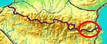
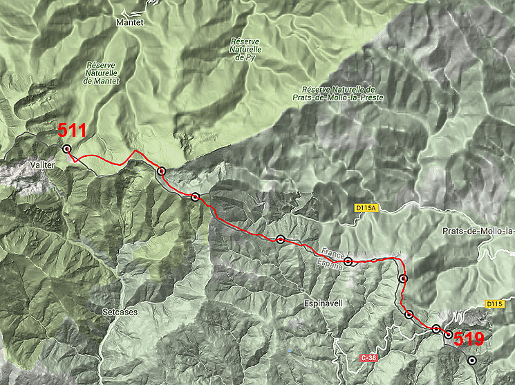
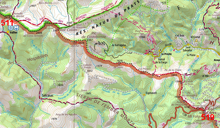
| - stage 46 - Porteille de Mantet - Col d'Ares (bm511-519) |
 |
||||||||||||||||||||||||||||||||||||||||||||||||
 |
|||||||||||||||||||||||||||||||||||||||||||||||||
| Only
the bordermarkers along this stage are shown (and some adjoining ones).
The main route is red,
the variants have other colors. The main route provides a smooth
on-going route along most bordermarkers, the variants give access to
the remaining bordermarkers. See the GRPdesBF-principles. Click here for an fullscreen interactive map. In short A gradually descending stage, leading you from a rocky and exposed ridge to a lower and greener hillridge. We are leaving the hight mountains behind us and until the Mediterranean we won't exceed the 1600m again. From bm511 we can follow a trail N of the borderridge until Portella de Callau. Then directly climbing to Roc Colom (bm512) and along the borderridge to Coll del Pal (bm513). On the S-side of Pic de Costabonne we can now traverse to the borderridge 1,5km to the SE without having to climb the Pic. And then it's essentially following the grassy hillridge on trails and sometimes dirtroads until Col d'Ares with bm519. Considerations There are in generail no wayfinding-issues. Water is scarce: there is only one source on the trail: at the S-side of Pic de Costabonne. When studying the maps, I spotted however a source ± 250m N of the col just W of Puig del Rey ("Font de l'Artique d'En France"). That's ± 1,2km W of bm515. The next stage is also scarce in water sources so you have to collect enough to get through the next day as well. Factsheet
Gps-files needed
Useful You might check the relevant webpages in the 'All markers'-section and 'All my trips'-section. They provide pictures of the bordermarkers and additional information. Version 02 February 2016. If you have any correction, suggestion etcetera -> please email me: eefberns@grenspalen.nl MAPS AND DIRECTIONS Print your own maps It's easy to print your own - custom made - maps with the GRPdesBF-route and the bordermarkers on them. See: Print your own maps |
|||||||||||||||||||||||||||||||||||||||||||||||||
 |
|||||||||||||||||||||||||||||||||||||||||||||||||
|
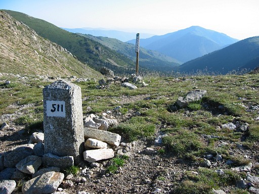
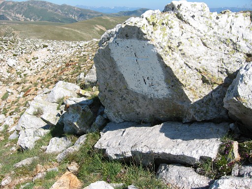
Bm511 |
||||||||||||||||||||||||||||||||||||||||||||||||
|
Bm512 |
||||||||||||||||||||||||||||||||||||||||||||||||
|
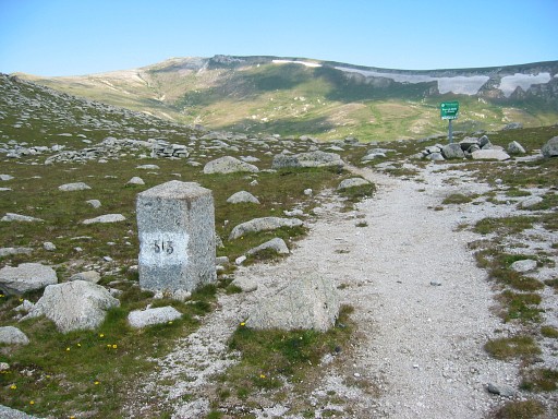
Bm513 |
||||||||||||||||||||||||||||||||||||||||||||||||
|
Bm514 |
||||||||||||||||||||||||||||||||||||||||||||||||
|
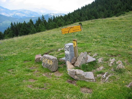
Bm515 |
||||||||||||||||||||||||||||||||||||||||||||||||
|
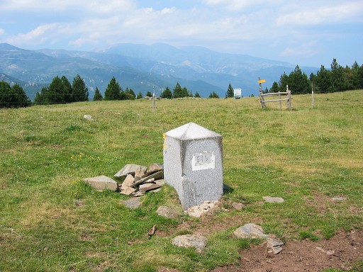
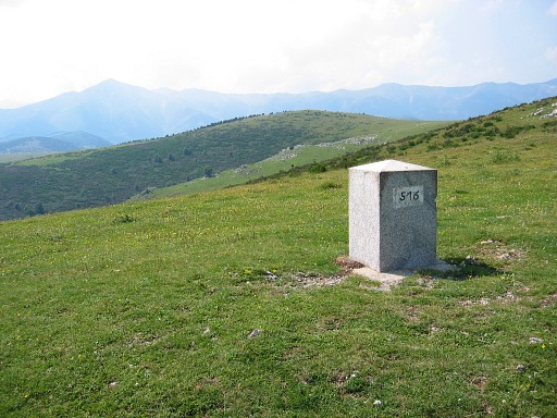
Bm516 |
||||||||||||||||||||||||||||||||||||||||||||||||
|
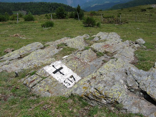
Bm517 |
||||||||||||||||||||||||||||||||||||||||||||||||
|
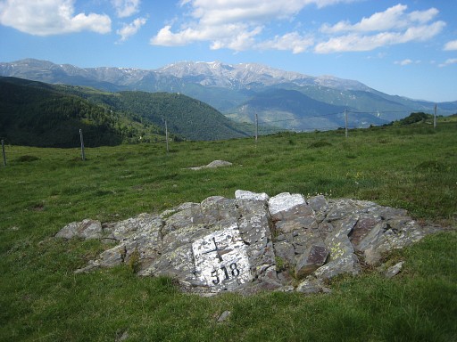
Bm518 |
||||||||||||||||||||||||||||||||||||||||||||||||
|
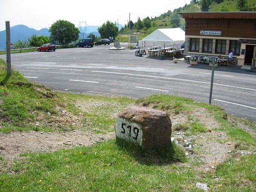
Bm519 |
||||||||||||||||||||||||||||||||||||||||||||||||