|
The
bordermarkers of the Pyrenees : all markers
 |
|
| Bordermarkers Andorra - France |
 |
| Notice The pages of the day-trips may give additional information on coordinates, localisation, surroundings and access. Click on the date-links in the right column. |
|
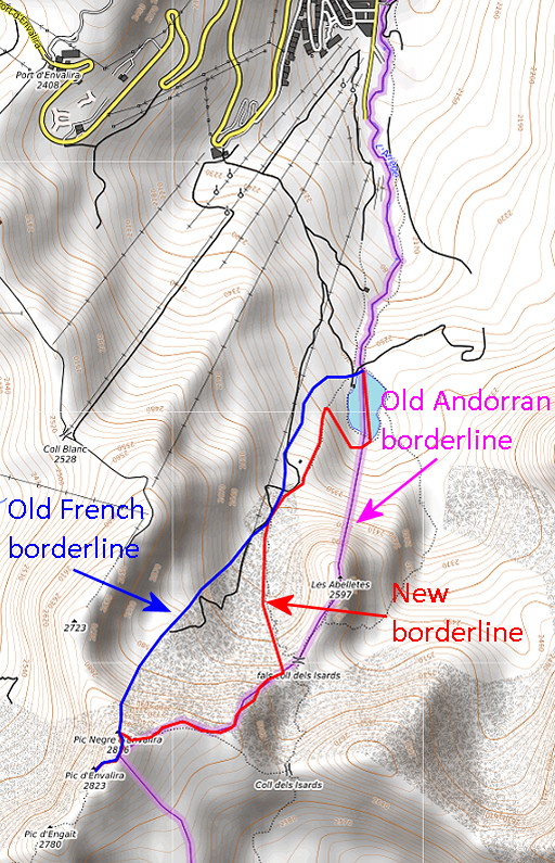 |
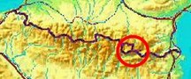
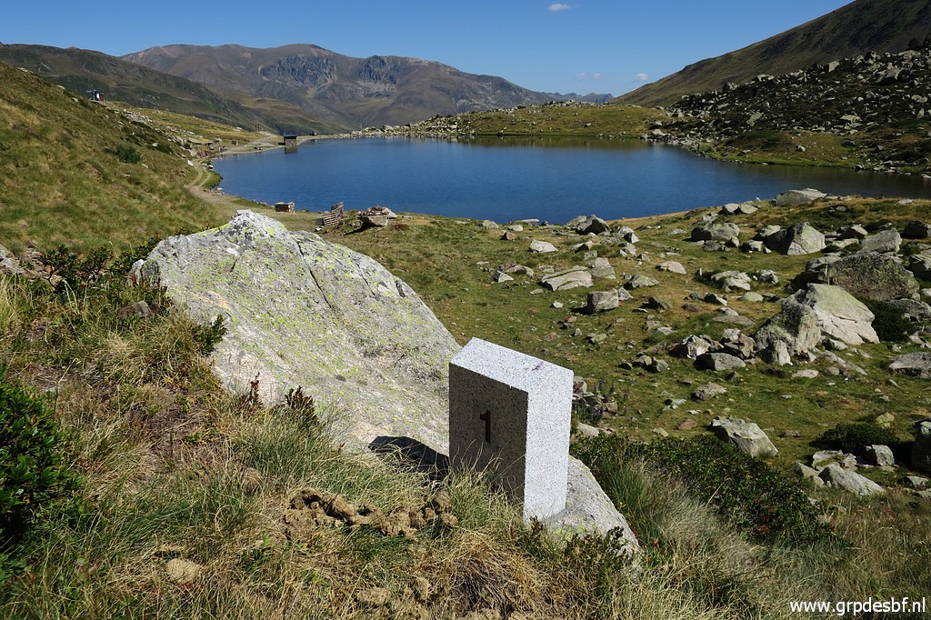
In july 2019 the first bordermarkers ever between Andorra and France were installed. See also this wikipedia-page and this one about the French-Andorran border. There has never been an official overall delimitation between Andorra and Spain/France. The constitution referred only to the borderline as the "traditional one". Most of the borderline consists of an undisputed mountainridge. However a disagreement remained to be solved on the borderline S of Pas de la Casa. Their maps showed different borderlines. The (old) French borderline kept the lake of Estany de les Abelletes for France while the Andorran borderline divided it in half. In 2012 they agreed about the common use of the hydrograpic bassin of the Ariège-sources, thus securing the water supply of Pas de la Casa, very important for this city. See this treaty. The larger part of the disputed terrain is now roughly divided between both countries. From the Coll dels Isards it follows a trail downhill until above the lake. That part of the new border was apparently distinct enough using the trail as delimitation. |
 But the lake of Estany de les Abelletes was officially divided in half. That last part of the delimitation - the S-like curve descending to the lake - needed bordermarkers and that's where the new markers are placed. |
|
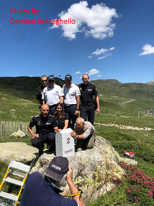 |
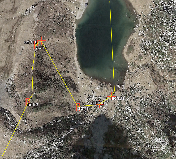
The markers were made / engraved by the stonecutter Damien Breseghello of www.pierrescreations.fr. He proudly shows pictures on his Facebook-page. This picture: Jean-Paul Laborie (member of the Pyrenean bordercommisson) and Sara Pijuan (Andorran Geographical Institute) at the foot of the marker with some police officers. There are six markers: 3 pillar-like stones like this one with the numbers 1 to 3. There are three additional unnumbered plaques engraved in rocks. The reason for this mix was practical: a limited budget. The sequence starts from the lake with two unnumbered markers. I have numbered these as 0a and 0b (0 = zero) to be able to sort them in their right sequence. See also this blog-post. |
|
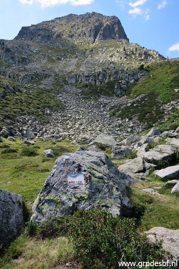
ADFR0a Photographed on 20190825 (more pictures on that page) (click photo to enlarge) |

|
ADFR0a Photographed on 20220830 (more pictures on that page) (click photo to enlarge) |
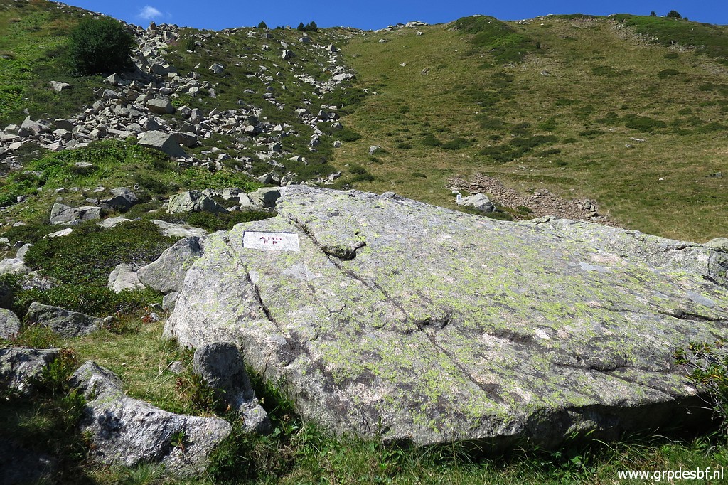
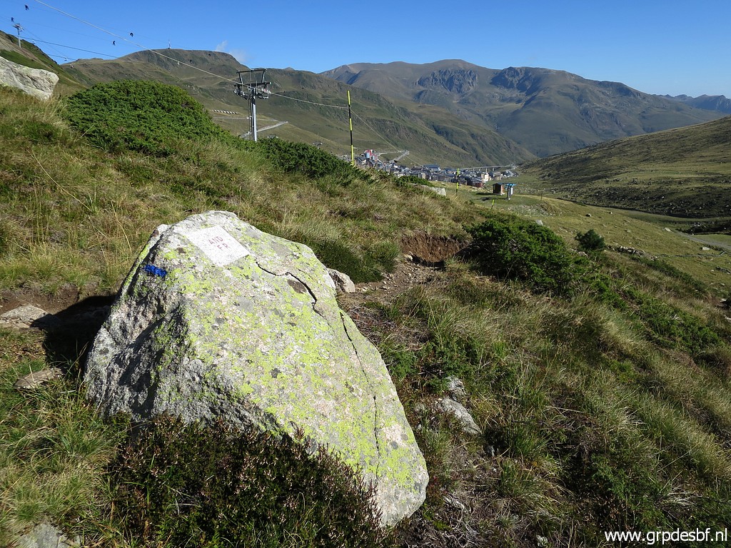
| ADFR0b Photographed on 20190825 (more pictures on that page) (click photo to enlarge) |
 |
ADFR0b Photographed on 20220830 (more pictures on that page) (click photo to enlarge) |
|
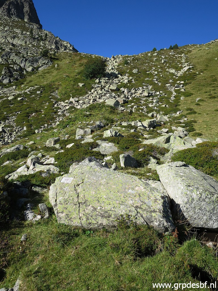
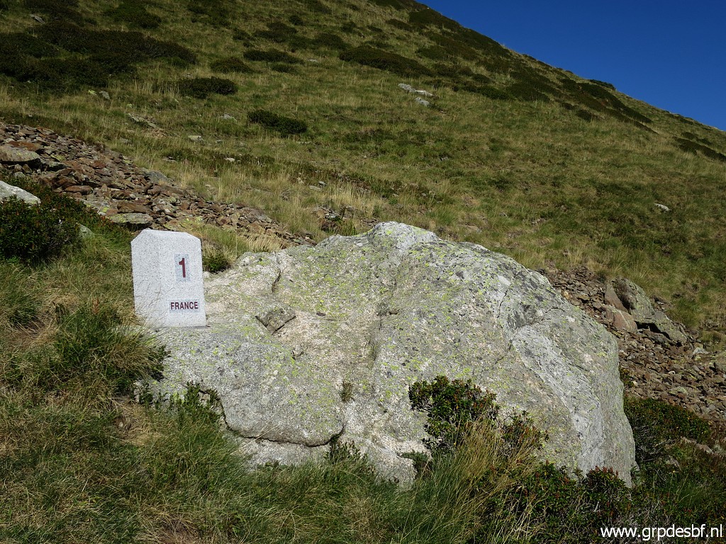
ADFR1 Photographed on 20190825 (more pictures on that page) (click photo to enlarge) |
|
ADFR1 Photographed on 20220830 (more pictures on that page) (click photo to enlarge) |
|
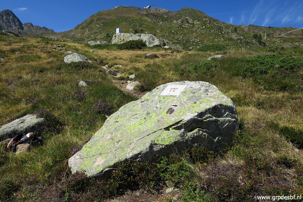
ADFR1a Photographed on 20190825 (more pictures on that page) (click photo to enlarge) |
|
ADFR1a Photographed on 20220830 (more pictures on that page) (click photo to enlarge) |
|
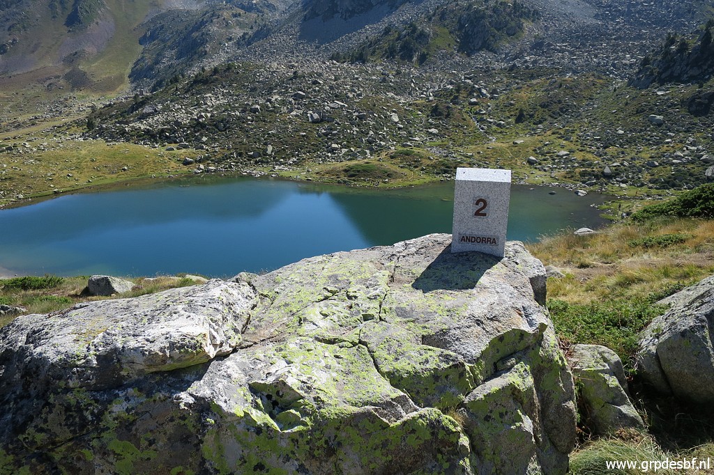
ADFR2 Photographed on 20190825 (more pictures on that page) (click photo to enlarge) |
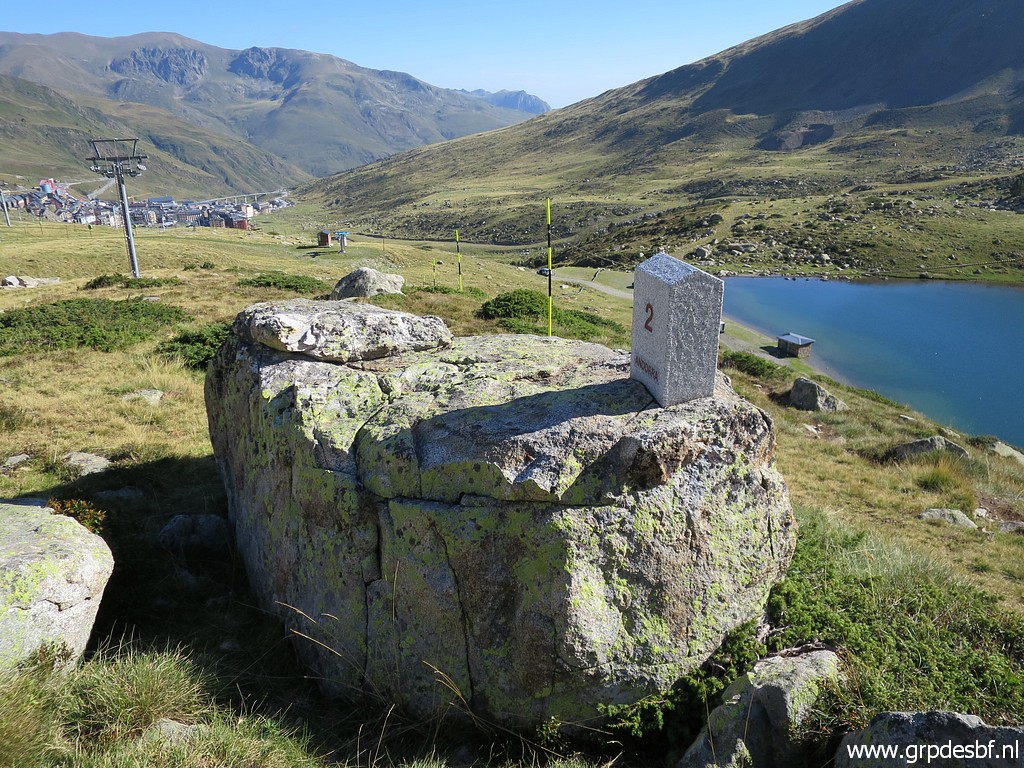
|
ADFR2 Photographed on 20220830 (more pictures on that page) (click photo to enlarge) |

|
ADFR3 Photographed on 20190825 (more pictures on that page) (click photo to enlarge) |
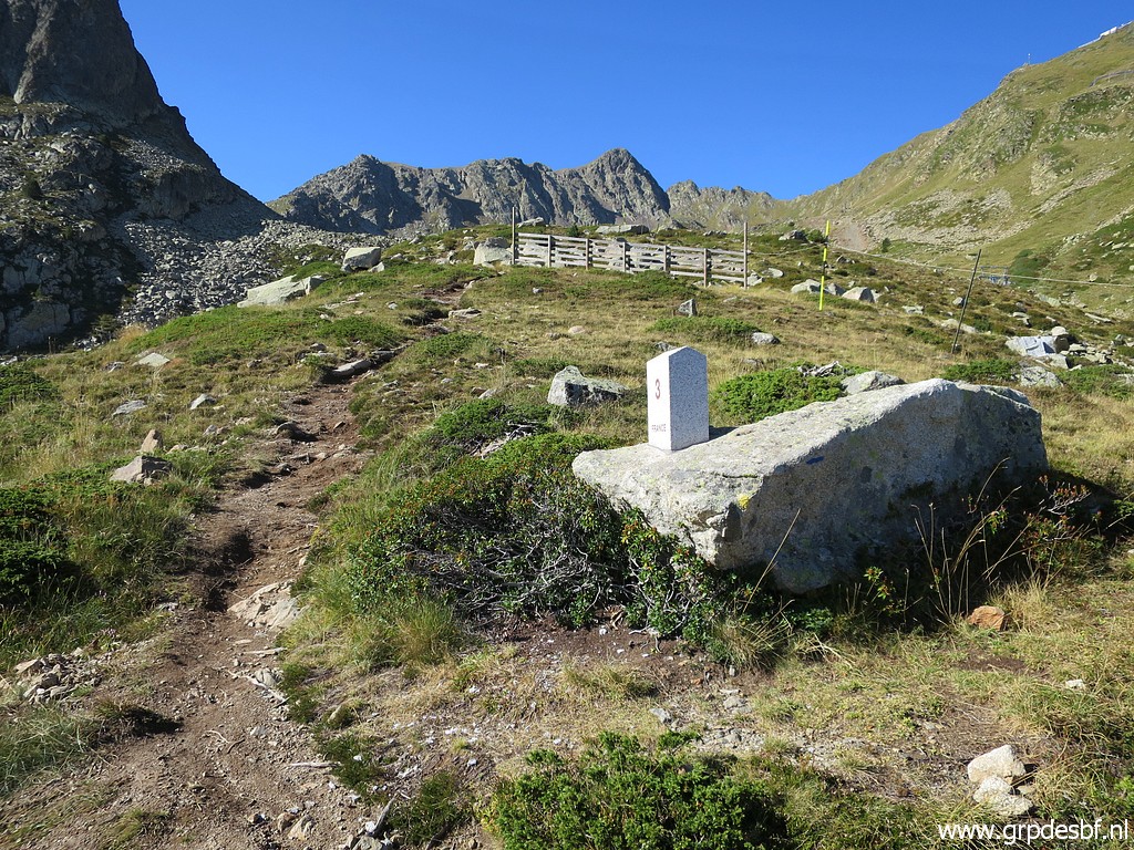
|
ADFR3 Photographed on 20220830 (more pictures on that page) (click photo to enlarge) |