The bordermarkers of the Pyrenees : all my trips  | |
| - 26 august
2007 - Something is wrong |
 |
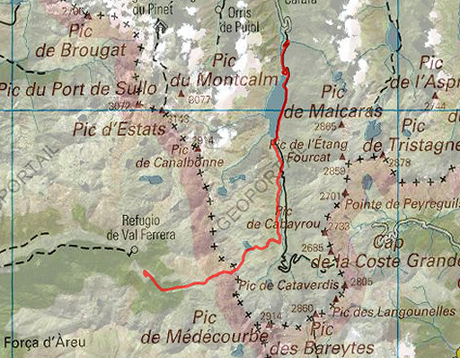 |
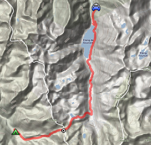
Trip-summary. Kml (opens in Google Earth: esfr-trip-track-20070826.kml) Part of 3 days "bm-backpacking" (out of 6) NE of Andorra, covering bm423-426. Day 3: from Pla de Boet climbing to Port de Bouet (bm426) and descending into France. The previous day I walked from Pla de Boavi to Pla de Boet. |
 |
|
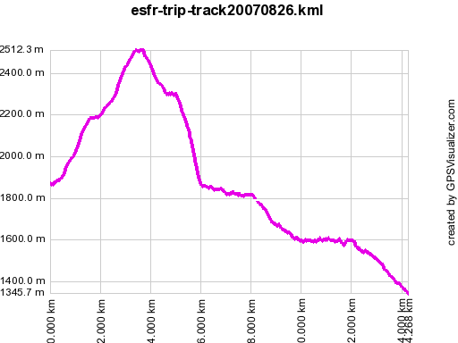 |
According to gpx-view: Distance : 14.249 km Altitudes : Maxi 2512 m Mini 1346 m Denivellation : +651 m -1098 m |
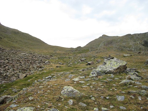 |
From Pla de Boet in 1½ hours to Port de Bouet, seen on this picture from distance. |
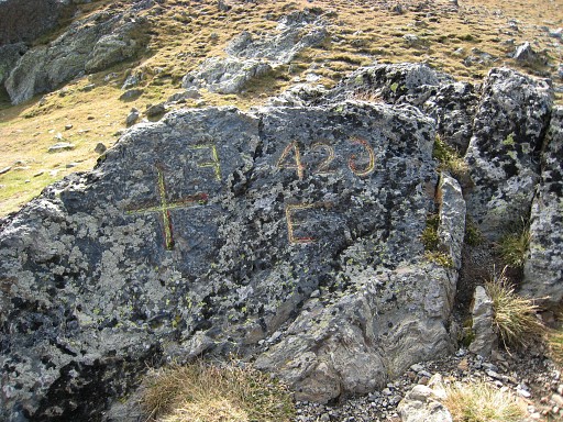 |
Bm426. It took me a while to recognize what is wrong: the F and 6 are engraved in mirror writing. Coordinates: N42 37 06.6 E1 25 41.7 H2513m (on my watch 2475m) |
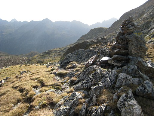 |
In the middle of the pass there's this cairn with the bm at its foot. |
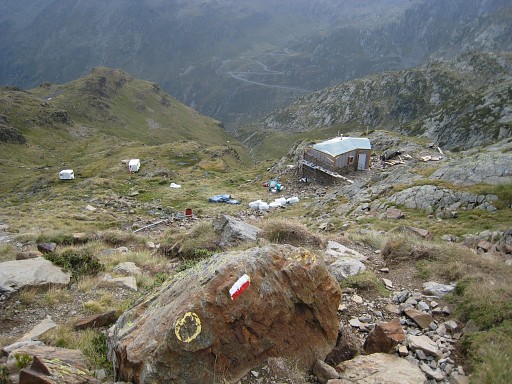 |
While descending, I see that a refuge-like building is being constructed. It must be the Cabane de Soucarrane which in 2010 was reported to be a private shepherd's cabin |
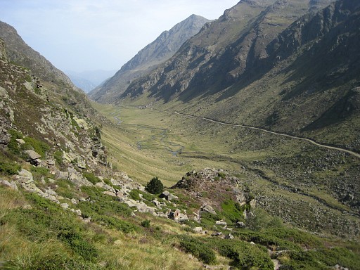 |
The descent to the road takes about 2 hours. |
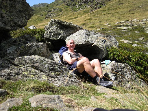 |
A self-portrait |
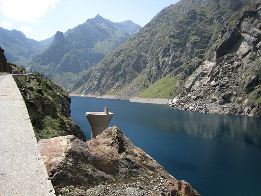 |
Then it's almost 1 hour to the barrage of Étang de Soulcem. Further on - with the help of some intentional thinking - I get a hitchhike to Tarascon |
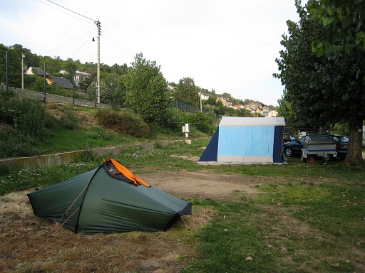 |
where I can take the train to Latour-de-Carol to pitch my tent at the camping of Entveig. |
|
| |