The bordermarkers of the Pyrenees : all my trips  | |
| - 28 august
2007 - The longest day |
 |
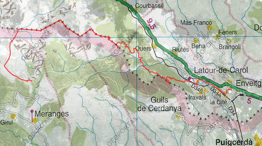 |
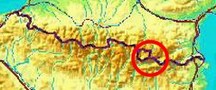
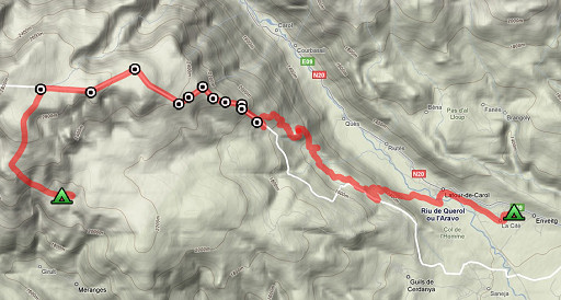
Trip-summary. Kml: esfr-trip-track-20070828.kml (click to open in Google Earth or copy link to Google Maps) Part of two trips in the Cerdagne, starting from Enveitg. Day 2: from Enveitg to Refugio de Manyol, finding bm434-429 |
 |
En route: ± 12.15 hours Time walked: ± 11½ hours According to my watch: cum. positive elevation: 1805m cum. negative elevation: 1006m total elevation: 2811m max. altitude: 2671m min. altitude: 1225m |
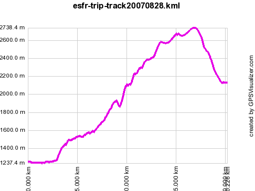 |
According to gpx-view: Distance : 20.182 km Altitudes : Maxi 2738 m Mini 1237 m Denivellation: +1448 m -711 m |
 |
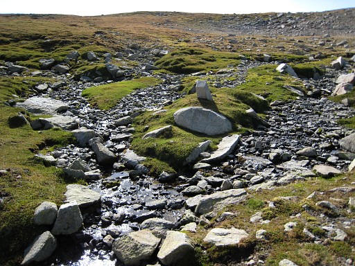
I left the camping in Entveig at 7am, needing 3 hours to reach the dirtroad close to bm438. Today I took mountain roads on the French side to climb the mountain. I remember spotting a fox with two cubs. After some descending to collect water at a stream, I find my way through the broom on cattle-tracks to the spot where bm437I must be, according to my pda/gps. But I can't find it despite an intensive search. |
 |
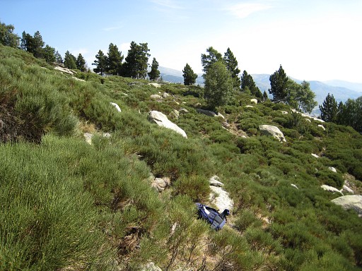
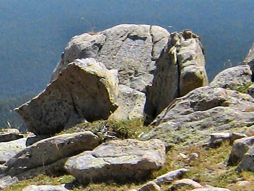
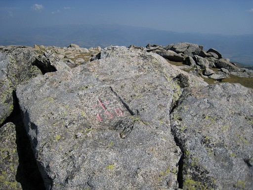
Then - more difficult - through the broom to the spot of bm437. But I can't find that one either. This picture: the approximate place. |
 |
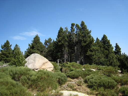
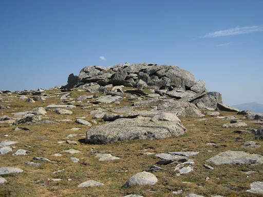
Struggling on through the broom to a more open slope where bm436 must be. But same story: unfindable. |
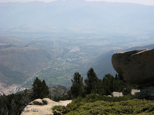 |
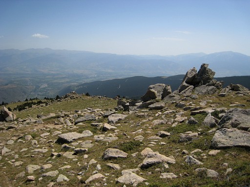
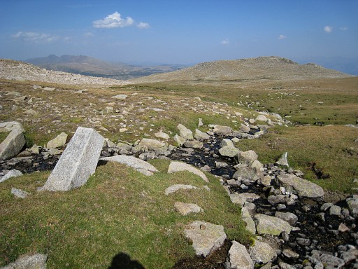
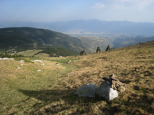
A view back on the valley where I started this morning. |
 |
I also can't find bm435, despite a clear description and gps-location. |
 |
But two years later I discover on the above picture a cross! |
 |
And when comparing it with the pictures on this webpage of Alain Laridon, I come to the conclusion that it must be bm435. |
 |
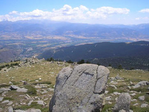
I keep climbing on the ridge. This picture: looking back. |
 |
It's not difficult to spot bm434 on Pic de la Tos. Coordinates N42 29 11.9 E1 49 24.5 H2384m |
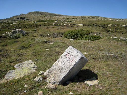 |
Then to bm433, tilted but well visible from distance. Coordinates: N42 29 04.4 E1 49 10.0 H2384m |
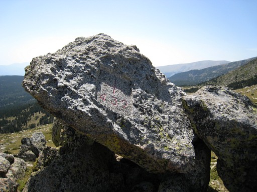
 | Bm432, the highest point of a bunch of rocks (Roc Colon). Coordinates: N42 28 59.4 E1 49 00.2 H2412 |
 | Bm432 |
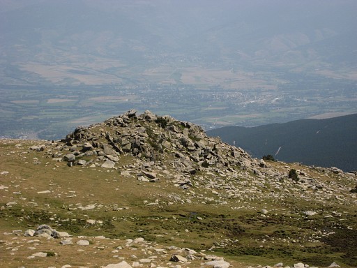 | The Roc Colon (with bm432) from distance. At the next angle of the borderline, there should be an unnumbered cross. But I can't find it but didn't really search. |
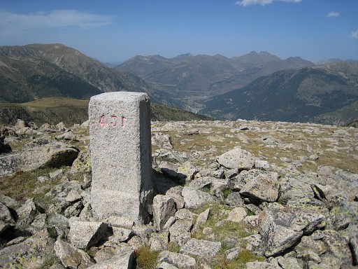 | Bm431, easy to find Coordinates: N42 29 25.4 E1 48 15.4 H2572m |
 | Well, let's say: Mementi Mori |
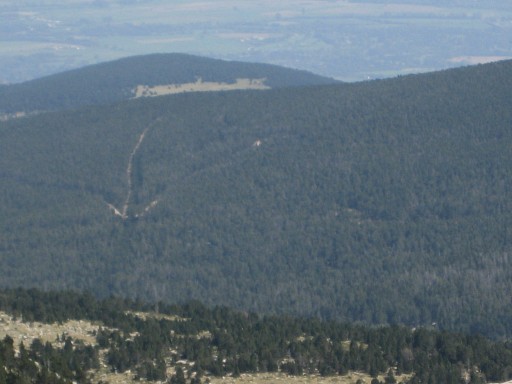 | This
is an interesting zoom-in: we see an arrow-shape from which the
vertical line is the forest-corridor between bm443 and bm444. |
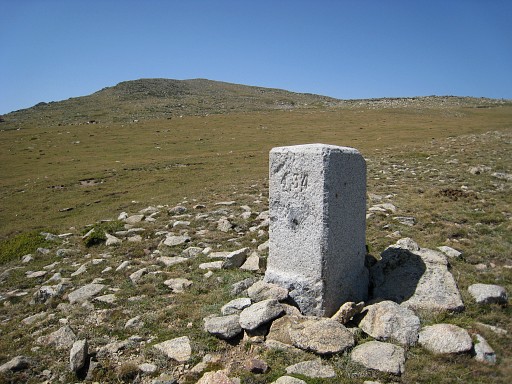
 | Bm430 at the highest point of the pic of Pedros de la Tosa. Coordinates N42 29 07.7 E1 47 30.9 H2700m On my pda/gps this angle in the borderline is located ± 40m to the NW |
 | The Pedros de la Tosa from distance. |
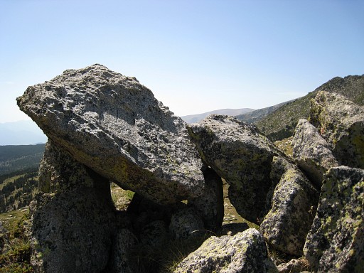
 | Bm429 near Font Bovedor, at the confluence of two streams. Coordinates: N42 29 10.2 E1 46 40.6 H2690m |
 | You
could bivouac here (it's flat, there's water) but that could be
rough in bad weather on this 2700m-high plateau.. |
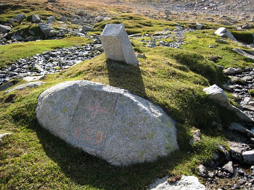 | The pillar behind the bordercross is probably a Comarco-bm, marking the Spanish community-borders. My pda/gps locates bm429 about 100m to the NE. |
 | It takes a while to find the cairns marking the trail from Puig Pedros to Refugio de Manyol, down in the valley. |
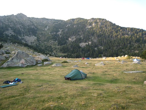 | The
descent took me ± 1½ hours. Near the Refugio there's this camping area
with access to streaming water at the stone bridge, just beyond the
Refugio. The next day - in very windy weather -I will return to Latour-de-Carol / Puigcerda on the GR11-trail. The end of this holiday. |
|
| |