|
The
bordermarkers of the Pyrenees : all my trips
 |
|
| - 6 april
2009 - Two men & three stones |
 |
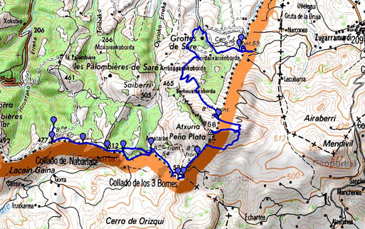 |
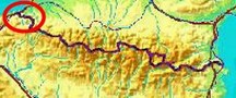
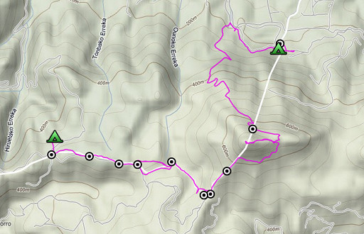
esfr-trip-track-20090406.kml (click to open in Google Earth or copy link to Google Maps; click right on this link to download gpx-version) A lovely stage from bm050 to bm059. Especially when climbing to Atxuria excellent weather, a nice breeze and splendid views. The final descent was long and tough. |
 |
For explanation of
the gps-coordinates and other cartographic backgrounds: see my cartography page En route: 7.52 hours (9.15-17.00), net walking time ± 6½ hours According to my watch: 778m up, 997m down, 1775m total denivellation. |
 |
According
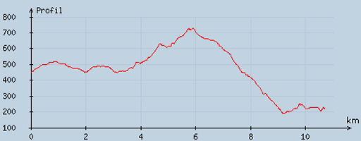
to visugpx - distance : 10.84 km - cum. elevation gain : 436 m - cum. elevation loss : 669 m - total elevation: 1105m - altitude maxi : 728 m - altitude mini : 190 m - altitude average : 448 m |
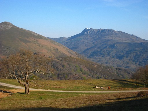 |
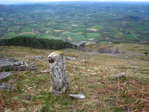
Starting at 9.15 and taking the dirtroad from bm050 onwards. This picture: La Rhune still visible to the NW. |
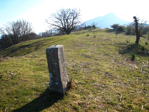 |
We climb the borderridge and soon we reach bm051. |
 |
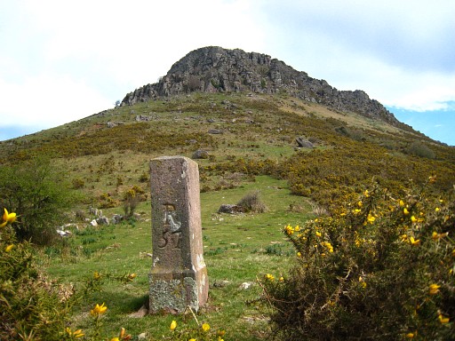
Bm051 |
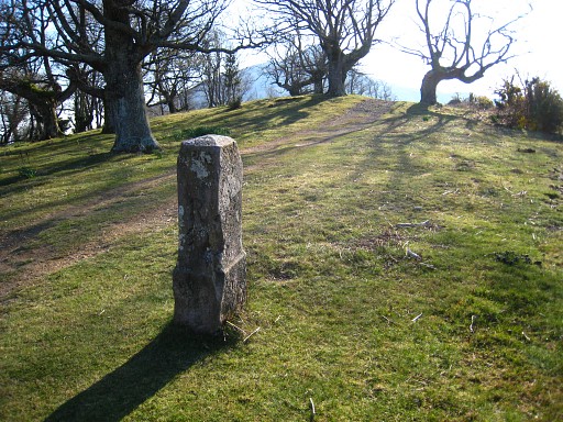 |
Further on: bm052 |
 |
Bm052 |
 |
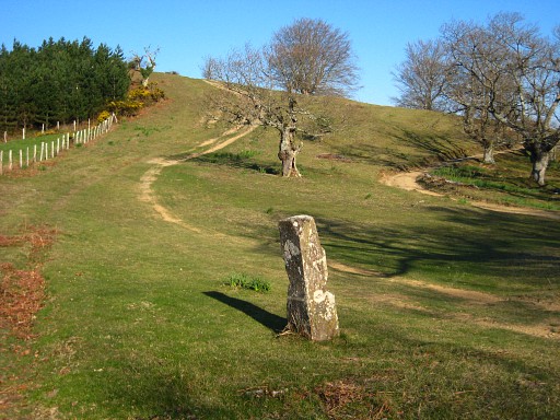
And a bit further: bm053 |
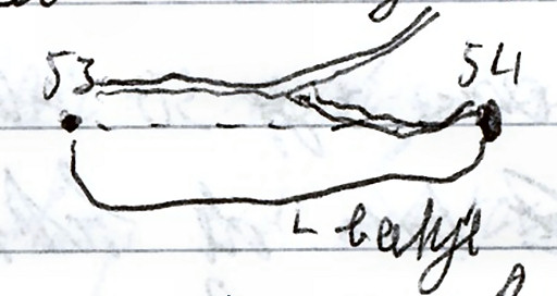 | From
bm053, the borderline follows a stream to bm054. It seems a straight
line on the map but actually the stream goes a bit S, then E and
finally a bit N. We followed the stream but found out later that there's an easier access. From bm053 (10m to the N) a dirtroad descends E with further on a branch (not on the map) to the right to bm054 Concerning this plan: "beekje" = stream |
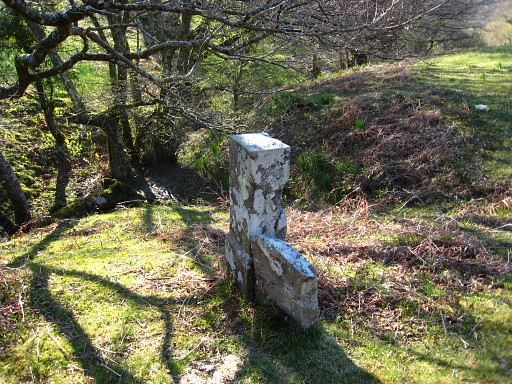
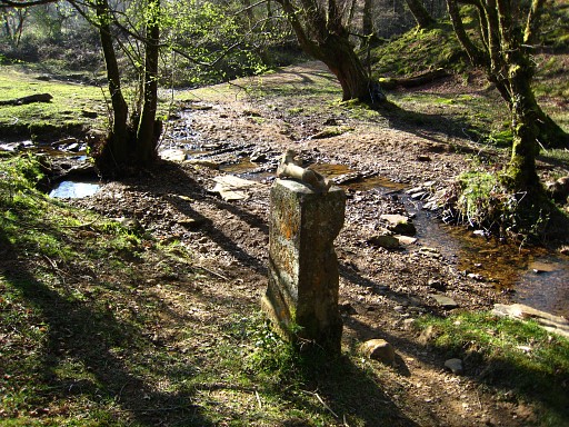 |
Bm054 From bm054 the border climbs SE along a stream until its source. You can climb along its south-bank to bm055 and continue to bm056. Route for the GRPdesBf: from bm054 follow the track NE uphill to a farm/barn and then take a path to the S to bm056. Variant: a detour to bm055 from bm056 or doing bm054 ->bm055 -> bm056. |
 |
Bm056 Remarkable: there's an old and a newer bm056 and an old local communities-tripoint-marker. |
 |
Bm056 |
 |
Then a detour to bm055 Jan-Willem climbed directly to this bm from bm054. |
 |
Bm055 |
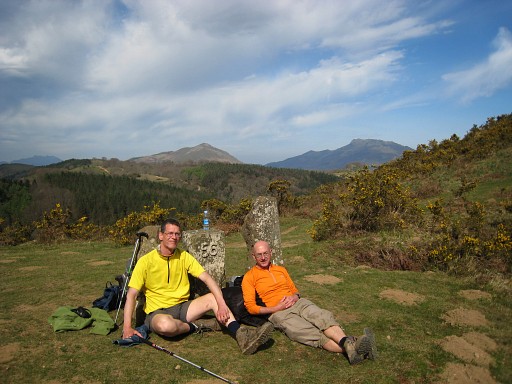 |
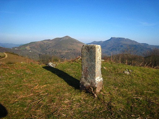
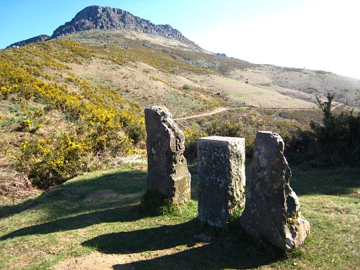
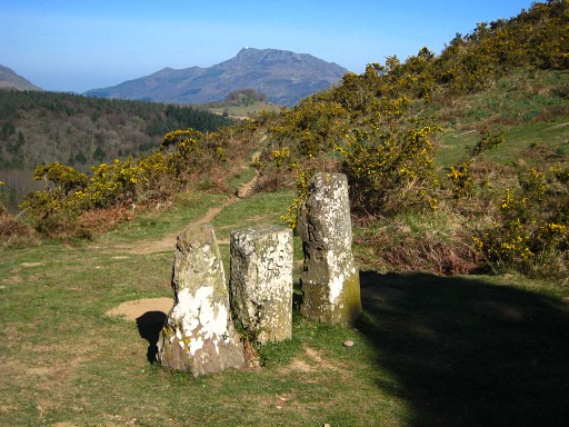
Lunch-time. Two men against three
stones. La Rhune still visible in the background. A passing
trail-runner took this picture. |
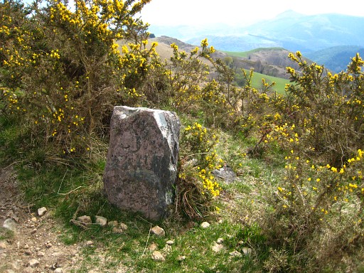 |
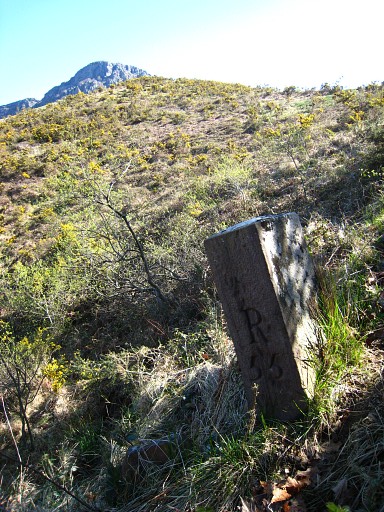
From bm056 a trail (yellow/white waymarked) climbs NE on a sort of ridge to bm057. In between this local marker |
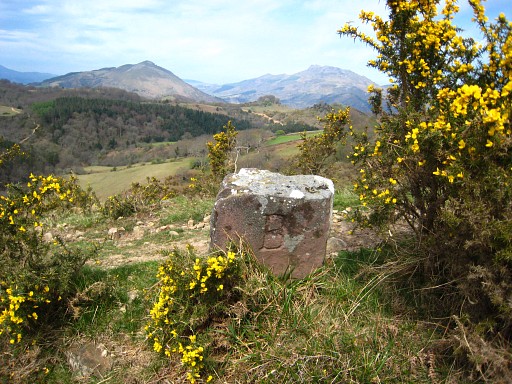 |
with this backside. |
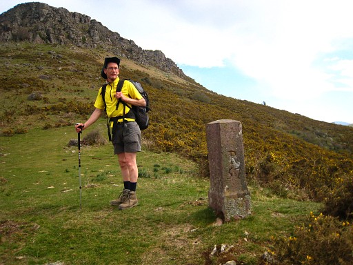 |
Bm057 with Jan-Willem |
 |
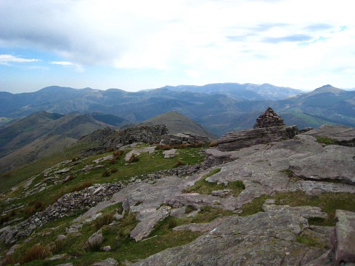
Bm057 Further on, the yellow/white trail merges with or becomes a yellow waymarked trail that goes underneath the Atxuria to a pass. |
 |
In the meantime it's getting cloudy with very strong winds. Vultures above our heads. From the pass, I climb to the summit of Atxuria while Jan-Willem shelters for the wind. However, I can't find the unnumbered cross mentioned in the Procès-Verbal. |
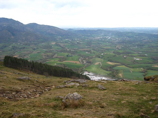 |
I return to the pass where Jan-Willem is waiting. We descend on the other side in search of bm058. This picture: a view to the NNE, you can see the edge (whitish) of the quarry where we will pitch our tents later. Finding bm058 isn't easy because I located the pass on the ridge of Atxuria wrongly. It's on Spanish territory. Jan-Willem proves to be a better map-reader and with orienting on the forest (on this picture) and the quarry, we find on the slope |
 |
bm058 We descend (long and tiring) on the yellow trail to the parking of the Caves of Sare. Coffee-break at the Caves |
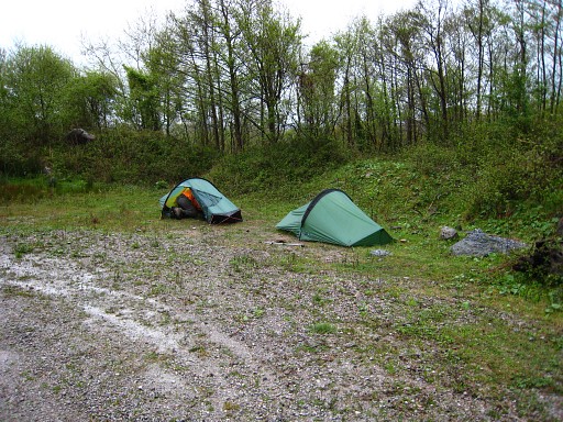 | We search a while for bm059 but in vain. Next to the quarry and beyond a roadblock, we pitch our tents. Then it starts to rain, the whole night. This picture: taken the next morning. Coordinates: N43 15 59.3 W1 33 52.6 |