|
The
bordermarkers of the Pyrenees : all my trips
 |
|
| - 31 may
2009 - An abundant painter |
 |
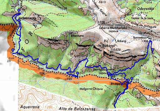 |
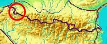
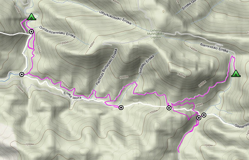
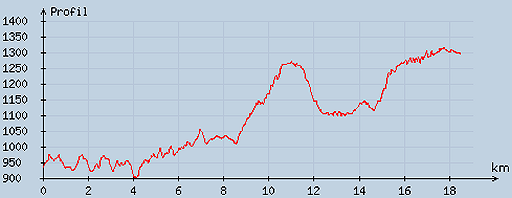
esfr-trip-track-20090531.kml (click to open in Google Earth or copy link to Google Maps; click right on this link to download gpx-version) Part of a 16-days trip, using day 1-10 to cover bm154 to 264 in the eastern Pyrenees and day 11-16 for bm416 to 365 near Bagnères-de-Luchon. Day 7: continuing along the borderridge from bm230 to 234bis. Weather: splendid, in the afternoon suddenly a strong wind. |
 |
For explanation of
the gps-coordinates and other cartographic backgrounds: see my cartography page En route: 8-19h, 11.02h, break 1¼h According to my watch: Up 1159m Down 821m = in total 1980m. Hmax 1289m Lmin 874m |
 |
According
to visugpx - distance : 18.7 km - cum. elevation gain : 872 m - cum. elevation loss : 506 m - total elevation: 1378 - altitude maxi : 1314 m - altitude mini : 902 m - altitude average : 1097 m |
 |
Starting at 8am. I first walk to the end of the D18 to look - in vain - for clues to find bm230. I return and via the branch of the D18 and a bridge I walk too far S on the dirtroad but that's where I can descend easier to the river. I leave my backpack there. I go back along the river - the hillside sometimes getting quite steep - and finally reach bm230. |
 |
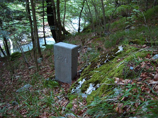
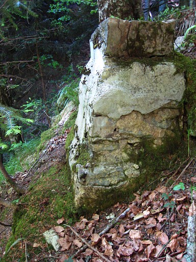
Bm230, again - like at bm220 - a newer pillar besides the old - and still intact - cross. |
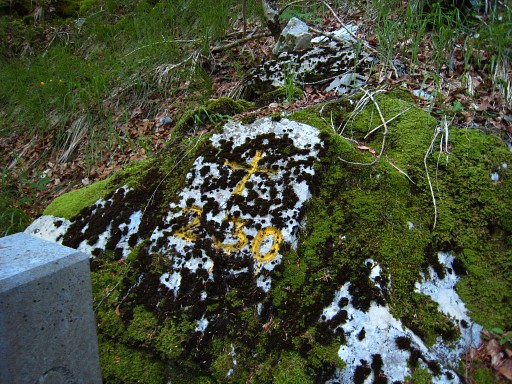 |
Bm230 I climb directly to the dirtroad. That's steep with some scree near the road. |
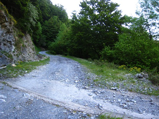 |
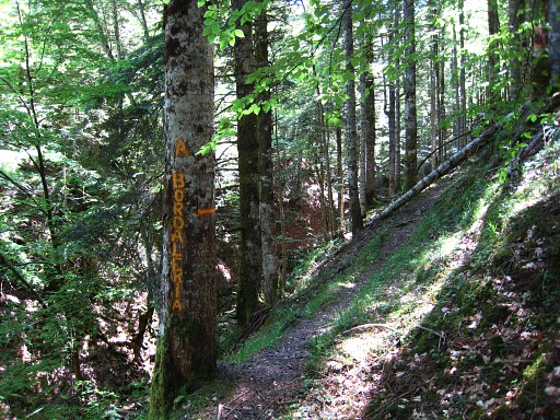
This picture: the spot (at the large tree) where you should descend to bm230 Further on, I collect my backback from down by the river and continue on the dirtroad. |
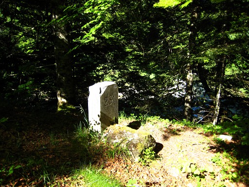 |
On the map there's a forest-road to
bm231 but I can't find that one. But on the bend of the dirtroad to the
left, there's a distinct path/road descending to the river, to a
confluence. Bm231 is standing above the confluence, along the path before its final descent. |
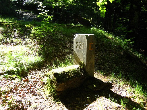 |
Bm231 |
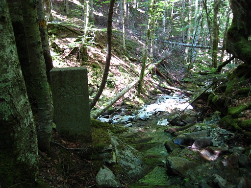 |
I return to the dirtroad and continue on it to the E, following its windings on the map. Where the road meets a half open field (on the map completely open) at the right side with grass and trees, I descend SW on a sort of hillridge, well distinguishable as such. That ridge brings me to a confluence. From there I go ±250m to the left along the stream until the point where a dry bed/ravine from the S merges with the stream. I spot bm232 and a bit further I can descend to the river and reach bm232. |
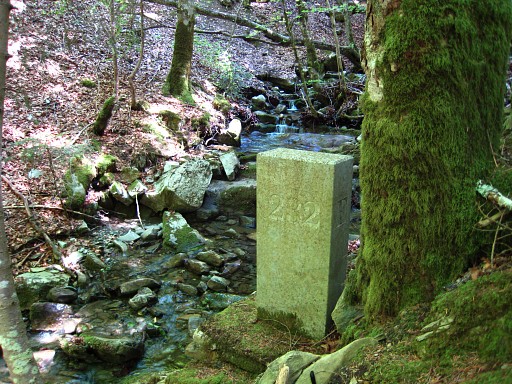 |
Bm232 |
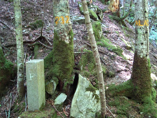 |
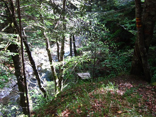
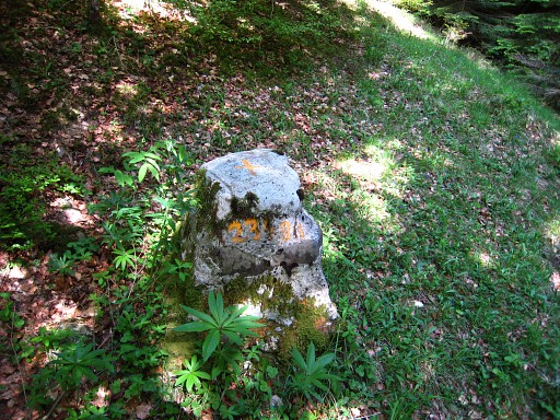
Bm232, note the paintings on the trees. The 'ALA?' is mysterious. In 2013 I receive an explanation of a similar painting at bm207 (ELAH) saying that it refers to the communities around this bm. See that page. |
 |
From bm232, an abundant yellow
waymarked path leads W via that dry bed/ravine and then somewhat higher
along the stream to the end of a dirtroad. Probably that dirtroad is a connection to bm231, a nice GRPdesBF-route. |
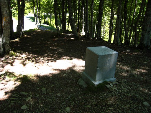 |
I climb back to the dirtroad where I came from and continue on it until an unnamed pass where - 30m off the road - there's bm223, a striking square and smooth pillar. Lunch-break on the other side of the pass. Suddenly there's a cold wind and patches of clouds appear. Second half: a long search for bm234 and bm234bis. From the pass (of bm232) I see a 'ravine' descending to the E and on its right side further down a forest-road. I wrestle myself to that forest-road and I discover that it ends there. |
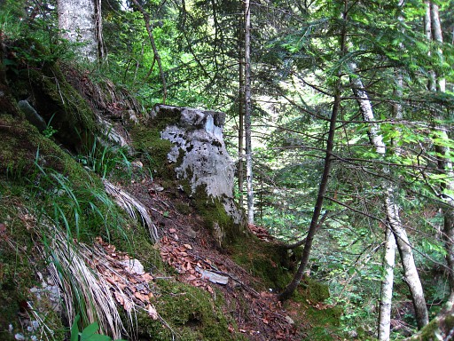 |
I follow it back, take a branch to the left which arrives at a small
rockridge. Behind that ridge, there's a grassy hillside descending,
bringing me to a forestroad which descends to a river. I cross the river and later on - downstream in an open strip along the river - back to the other side. I takes a while before I realize that I'm following the Ibarrondoa away from the borderline. I return to the first crossing of the river and now follow the river upstream, shifting from bank to bank whatever suits best, until a (dry) stream, coming from the left. In the N-corner, quite high above the actual confluence, I see a marker. I climb to it, that must be bm234 |
 |
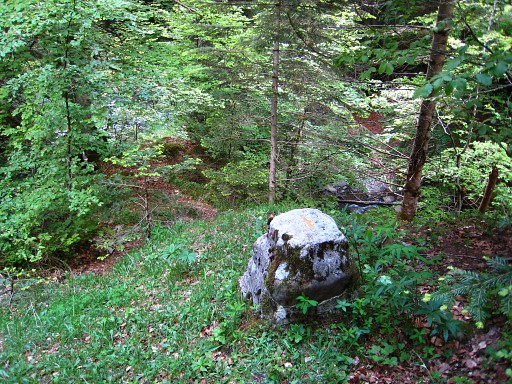
Bm234, seems damaged, there's no number on it, only a cross engraved on top of it. |
 |
Bm234 |
 |
I continue along the river (13om
according to the gps, 190m according to the Procès-verbal) until the
point where a stream comes from the right. In the NE-corner - a bit
higher - I find bm234bis. Like bm234 there's a cross engraved on top but this one has also a number (painted). |
 |
Bm234bis I'm content that I found these two markers. I return to that first crossing of the river and follow the forest-road back uphill. It ends at the border-ravine (coming from bm233). I cross the ravine and climb straight uphill (to the left there's another smaller ravine which merges with the border-ravine) I end up at a forest-road, follow it to the left and arrive close to the pass of bm233, at the other side of the beginning of the ravine. That forest-road provides probably the easiest access to bm234 and bm234bis. |
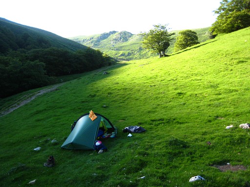 |
From the pass, I continue on the road until open terrain. There I find a bivouac-spot at the foot of the Zazpigaina. |