|
The
bordermarkers of the Pyrenees : all my trips
 |
|
| -
7 may
2010 - Cold feet |
 |
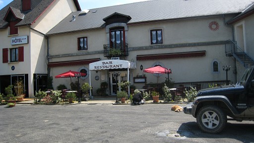 | From our Gîte d
Etappe in Bidarray we (Jan-Willem and me) make an unsuccessfull attempt
to drive to La Pierre Saint Martin. It’s splendid weather and it
seems perfect for a hike to bm251, 252 and 253. But recent snowfall has
blocked the passes into Spain and we have to give up. We seek a little consolation in lunching in this restaurant in Montory. |
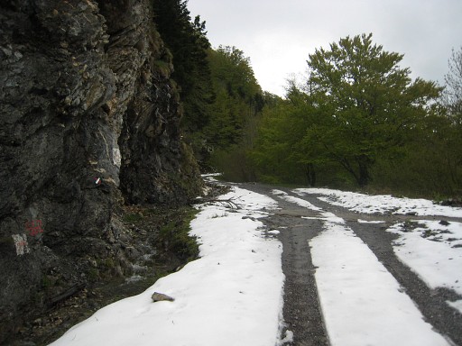
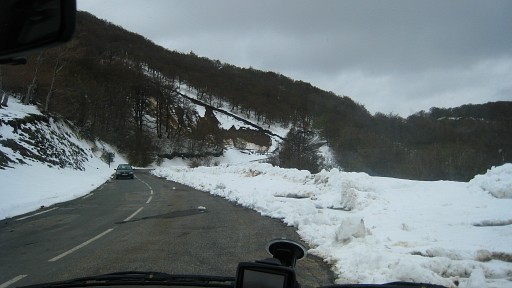 | Plan B is a drive from Arette via Larrau and Les Chalets d Iraty to the end of the D18, close to the bordermarkers 230 and 231. A lot of snow there too but the roads are free. The sun has disappeared, it starts to drizzle. |
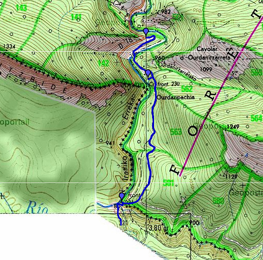 |
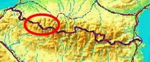
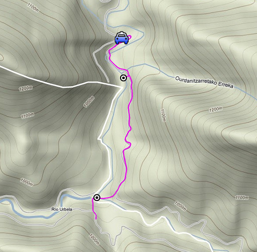
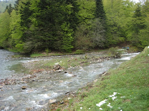
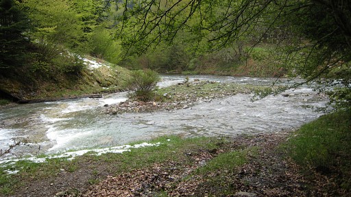
esfr-trip-track-20100507.kml (click to open in Google Earth or copy link to Google Maps; click right on this link to download gpx-version) Our goal is a reconnaissance of an alternative route from bm231 to 232 on the Spanish side. In particular the passage of the stream (Erréka Idorra, just before it flows into the Iratiko Errékao ) underneath bm231 and the connection with the Spanish forest road uphill which leads to bm233. |
 |
For explanation of
the gps-coordinates and other cartographic backgrounds: see my cartography page |
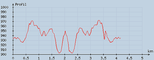 |
According
to visugpx - distance : 4.22 km - cum. elevation gain : 146 m - cum. elevation loss : 149 m - total elevation: 295 - altitude maxi : 972 m - altitude mini : 902 m - altitude average : 937 m |
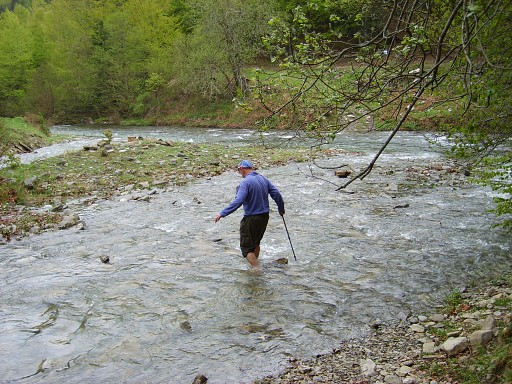 |
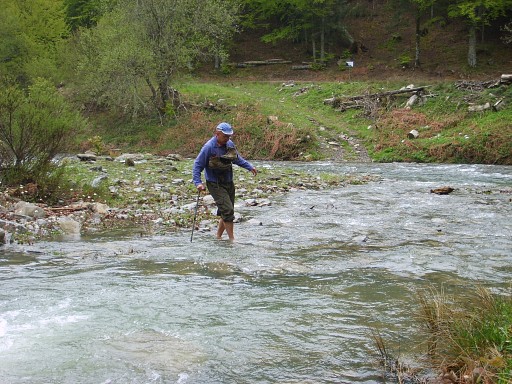
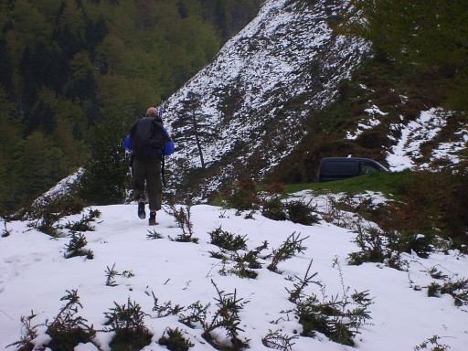
First along the forest road to the Erréka Idorra. The stream is swollen by the recent rain and the melting snow but still manageable. With bare feet I cross the stream via an island in the middle, my feet very cold but the crossing easy. |
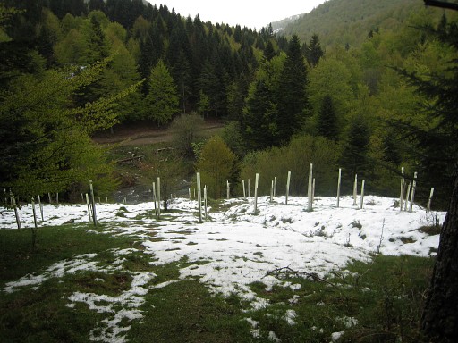 |
On the other side I
climb uphill on a open grassy part (with planted trees) and easily
reach the forest road. On this picture I'm looking downwards at the river. Mission accomplished. |
 |
Back again, Jan-Willem waiting at the other side, his camera ready to record my crossing. |
 |
|
 |
|
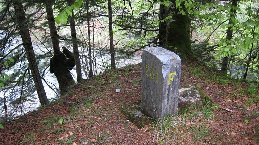 |
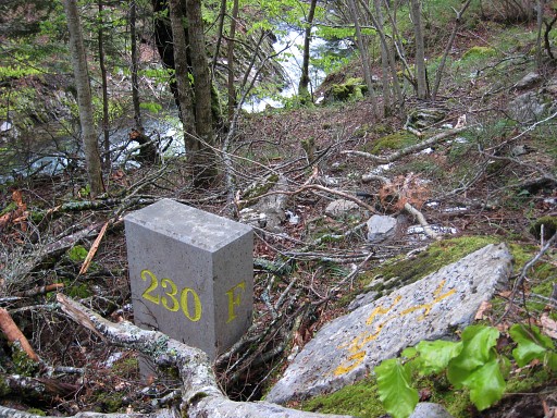
Pictures of bm231 uphill with |
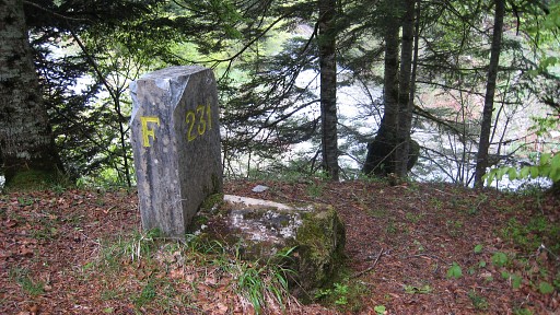 |
a close look at the
odd stone against it. |
 |
Maybe an old cross I thought but I can’t find any trace of a cross. |
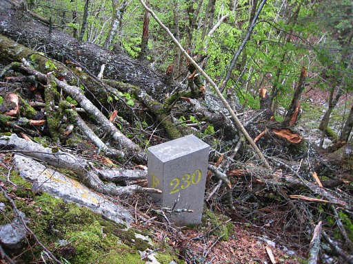 |
Back on the same road to where bm230 is located, I descend the steep hillside to the bm. |
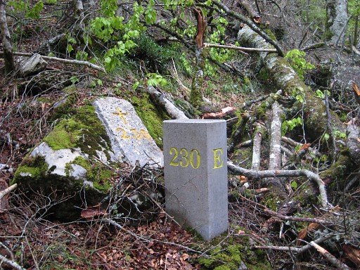 |
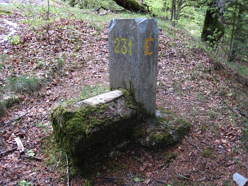
Stone & cross |
 |
It’s more close to
the river then I remember from last year. |
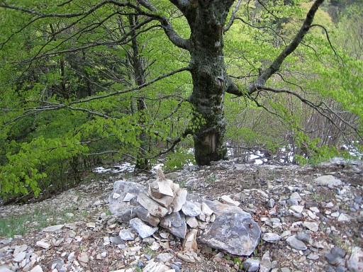 |
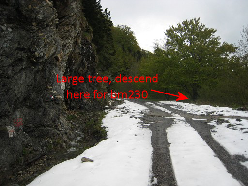
After the pictures,
I climb back to the road. This large distinctive tree (and the cairn in front) indicates where to descend to bm230. |
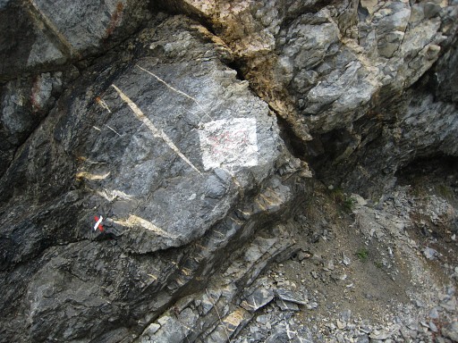 |
About 10-20 meters
to the north, there’s a white painted quadrangle against the rockwall
with 230 painted on it. I can't remember that from last year. |
|
Move the mouse over the picture to see where to descend to bm230 |
 |
End of this trip
which tooks us 2 hours (16-18pm). |
 |
We drive to
St-Étienne-de-Baïgorry for our next gîte d'étappe. |