|
The
bordermarkers of the Pyrenees : all my trips
 |
|
| -
25 august
2010 - Exhausted |
 |
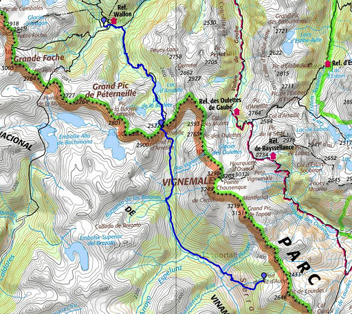 |
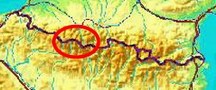
esfr-trip-track-20100825.kml (click to open in Google Earth or copy link to Google Maps; click right on this link to download gpx-version) Summary: part of a 11-days backpacking trip from Cauterets to Loudenvielle ‘doing” bm315 to bm330. Day 1: from Refuge Wallon via Port d’Arretille (bm314) into Spain untill close to bm315. Weather: splendid, at night: full moon. |
 |
For explanation of
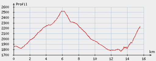
the gps-coordinates and other cartographic backgrounds: see my cartography page Start: 09.30, break: 0.45h, finish: 18.15, net walking time: 8h According to the gp-tripteller: Distance: 16,1 km Time moved: 5.47h Time standing still: 3.09h In Total: 8.52h Total ascent: 1125m Maximum height: 2517m |
 |
According
to visugpx - distance : 15.89 km - cum. elevation gain : 1218 m - cum. elevation loss : 852 m - total elevation: 2070m - altitude maxi : 2525 m - altitude mini : 1766 m - altitude average : 2082 m |
 |
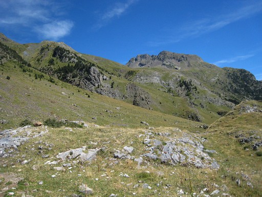
The
previous day I had hiked from Cauterets to Refuge Wallon after a long
cardrive from Holland. From my bivouac-site near Refuge Wallon, it takes me 2.45h climbing to Port d’Arretille. On this picture in the distance on the ridge. |
 |
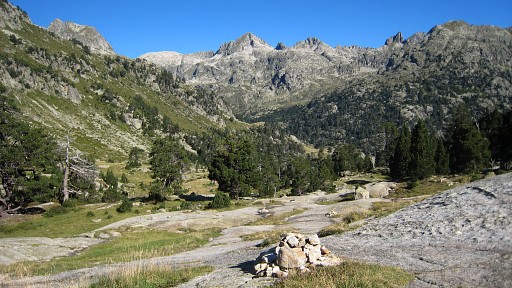
Overall well waymarked by cairns + in the last part from the lake white and white/red/white waymarks. |
 |
Bm314. |
 |
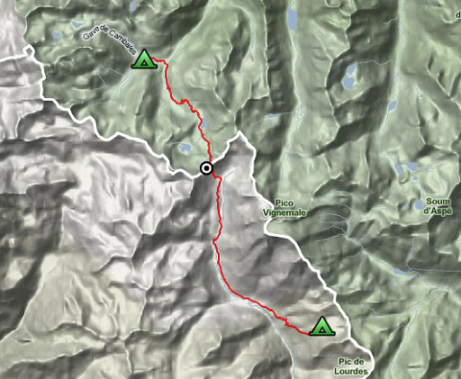
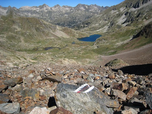
Then descending into Spain, the white/red/white-waymarking bends however to the left. So – descending southwards into the vally – there’s mostly no trail besides an occasional cairn. However, that’s no problem. I keep to the right side of the stream but not too close. |
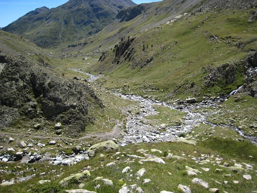 |
Later on there’s a valley coming from the right. At the confluence of both streams from both valleys, you’ll come across the GR11-(red/white)-waymarking. |
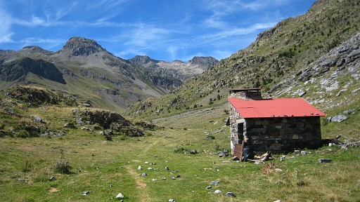 |
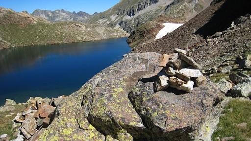
I follow the GR11 downwards and pass later on a cabin. |
 |
At the next
stream coming from the left, the ascent for bm315 starts (according to
a trail-indication on the Spanish 50k-map). It takes trial and error to find a route uphill - there’s no trail in the field– and it’s heavy climbing on that grass. |
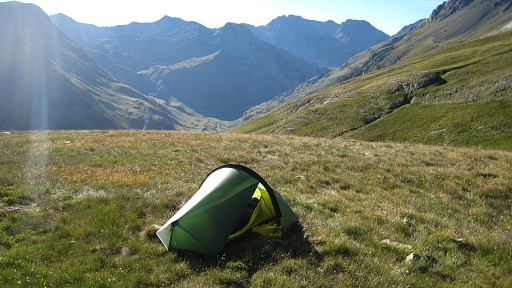 |
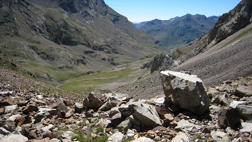
I ended up more to the south of the Barranco Salto. I was glad to find a flat spot for my tent, I was exhausted. Looking back how the route should be (I guess): at that mentioned stream, climb a bit higher, then heading SE, gently climbing, untill you come across the stream Barranco Salto. Then climb along that stream untill you reach the high part: more flat and hilly and the borderridge in sight, |
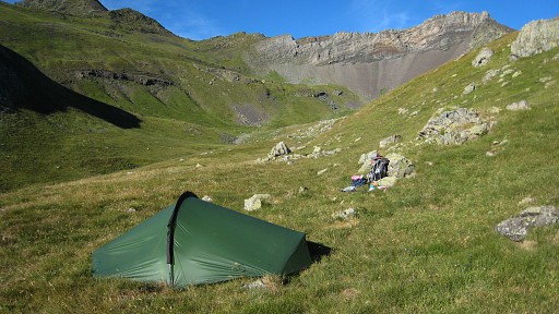 |
Notice the borderridge on this picture. The rest of the route: see tomorrow. |