|
The
bordermarkers of the Pyrenees : all my trips
 |
|
| -
29 august
2010 - The wrong pass |
 |
 |
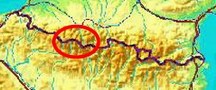
esfr-trip-track-20100829.kml (click to open in Google Earth or copy link to Google Maps; click right on this link to download gpx-version) Summary: part of a 11-days backpacking trip from Cauterets to Loudenvielle ‘doing” bm315 to bm330. Day 5: tackling the Port de la Canau with bm321 taking a whole day: I started with the wrong pass..... Weather: Sunny and warm, no wind |
 |
For explanation of
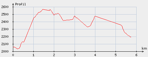
the gps-coordinates and other cartographic backgrounds: see my cartography page Start: 8.00, break: 12.30-13.15, finish: 16.45, net walking time: 8 hours According to the gp-tripteller: Distance: 8,9 km Time moved: 3.19h Time standing still: 5.13h In total: 8.32h Total ascent: 1041m Maximum height: 2668 |
 |
According
to visugpx - distance : 5.92 km - cum. elevation gain : 736 m - cum. elevation loss : 599 m - total elevation: 1335m - altitude maxi : 2564 m - altitude mini : 2032 m - altitude average : 2383 m |
 |
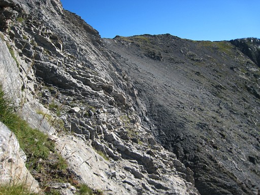
I
started with the wrong pass although I checked it on several maps and
the gps-arrow was directing to that pass. Moreover I couldn’t
at first find the route back below. In all that steep solitary
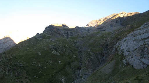
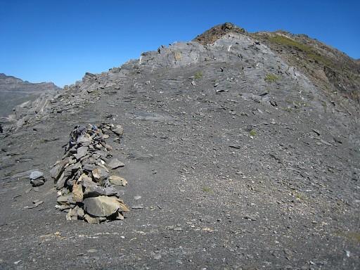
climbing, I think I pressed myself a bit too far. This picture: looking forward at the slopes to climb. |
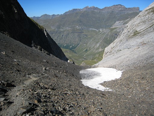
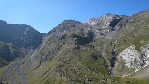 | But this is a better picture (of yesterdag): view of the
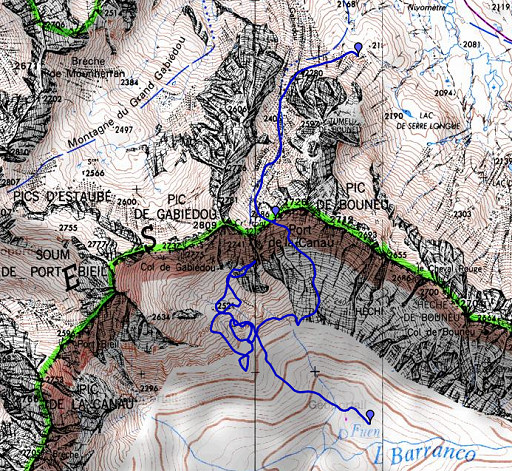
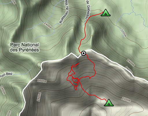
borderridge with somewhere Port de la Canau with bm321. I carefully studied the maps but still choose the wrong pass. Move the mouse over the picture to see where the Port de la Canau really is. |
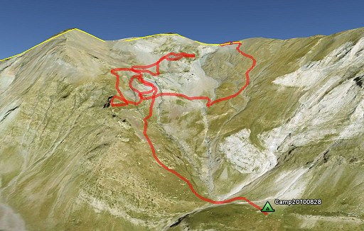 | And this is a printscreen from Google Earth with how I found my way by trial and error. As I got closer to the left pass = th wron pass (in fact Col de Gabiédou), the arrow pointed distinctly more and more to the east and the waypoint of bm321 got further away. |
 |
By the way: on my way up, I stumbled upon a distinct white waymarked trail. I followed it for a while untill I lost it. |
 |
I tried a
short-cut to Port de la Canau but it got too steep. I descend enough to hop over to the right grassy slope and start climbing again. I find back the white waymarked route which is nog longer a real track. That white trail puzzles me, it must be a more direct trail from the plains of LLanos de la Larri to Port de la Canau. I have to return some other time to investigate that trail which is probably easier and more direct then how I walked yesterday. |
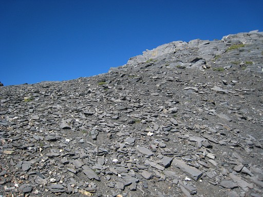 |
Later on I loose the white trail again but it doesn’t matter,
it’s just going up, climbing is heavy by lack of a real trail. I guess it would have taken ± 2 hours directly from camping spot to bm321, now it took me 4 ½ hours. On this picture: almost at the pass, the bm already but faintly visible. |
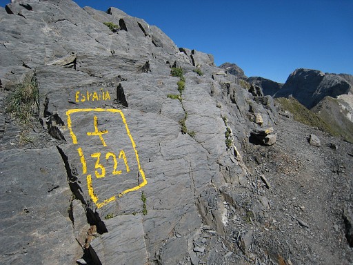 |
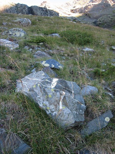
Bm321 is painted in gold paint, I’ve seen that a lot in the western Pyrenees. |
 |
Bm321 |
 |
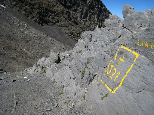
Bm321 at the other end of the pass. |
 |
Then in 1½ hours down to the Cirque de Troumouse where |
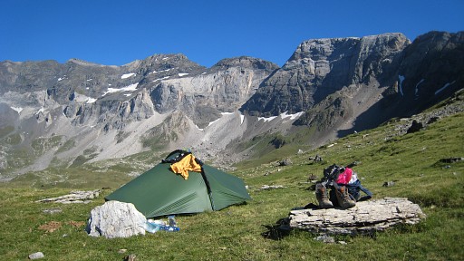 |
I camp for the night. Very silent day, didn’t meet
anyone. Camp H2237 N42 43 28.7 E000 05 37.9 |