|
The
bordermarkers of the Pyrenees : all my trips
 |
|
| - tuesday 3 september
2013 - Touring in the Basque country |
 |
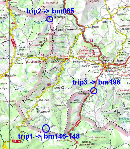 |
Summary: part of a 12-days trip to the Pyrenees with a lot of targets from the Ariège mountains to the Basque country Day 12: covering three targets involving 4 walks in the Basque country: bm146-148, bm085 and bm196. Main targets were: - the second extra bm146-cross - the second number 85. Both were unknown to me until my stay with the Darrieu’s last week. Charles told me about their existence and provided pictures. Basecamp is the the camping municipal in St-Étienne-de-Baïgorry. Weather: splendid, warm, ‘grand beau’ |
 |
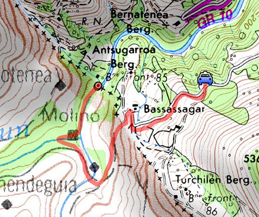
Trip 1 For explanation of the gps-coordinates and other cartographic backgrounds: see the cartography-page |
 |
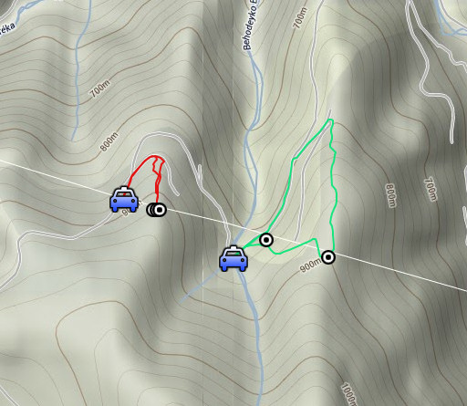
Trip 1 - walk 1 esfr-trip-track-trip1.kml (click to open this trip in Google Earth or copy link to Google Maps; click right on this link to download gpx-version) According to visugpx - distance : 0,9 km - cum. elevation gain : 47 m - cum. elevation loss : 58m - total elevation: 105m - altitude maxi : 921m |
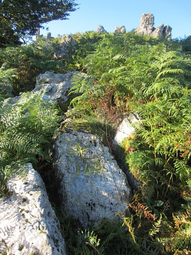 |
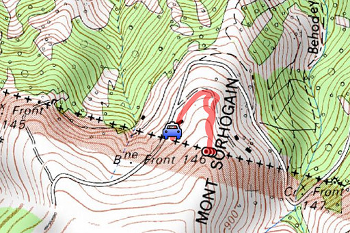
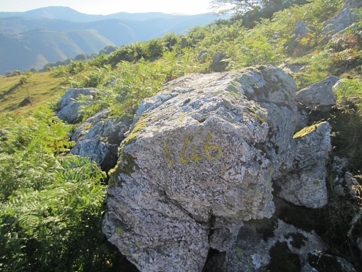
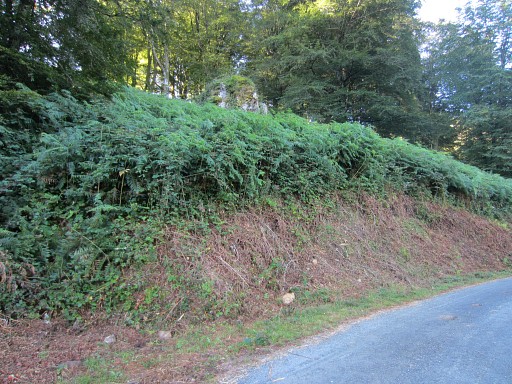
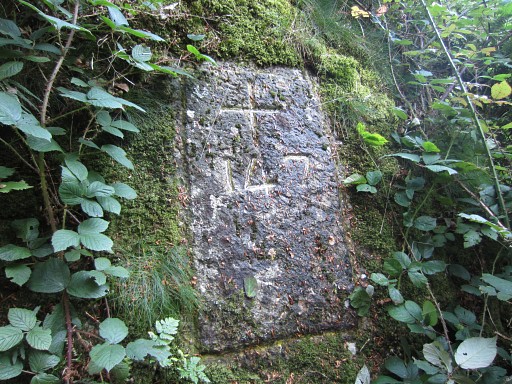
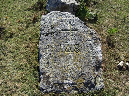
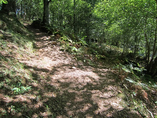
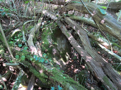
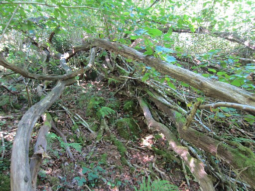
Trip 1 - walk 1 From Urepel I drive up the hills until close to bm146. Then it’s a short climb to bm146. I was here with Jan-Willem only three month ago on 1 june 2013 to photograph the western extra bm146: a cross + number engraved in a rock 10 meters west of the pillar bm146. However, at the other side of bm146 - at approximately the same distance - there’s another rock with a cross and a number 146. It’s low to the ground and now hidden between the fern. But easy to find. |
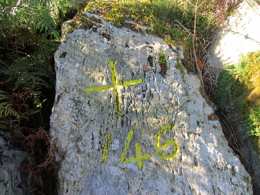 |
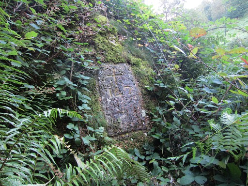
Bm146cross-east |
 |
Bm146cross-east |
 |
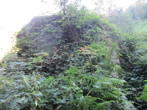
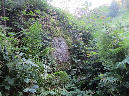
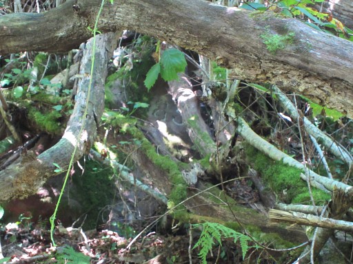
From bm146cross-east looking to the bm146-pillar. Behind the pillar there's the rock with bm146cross-west. |
 |
Bm146 |
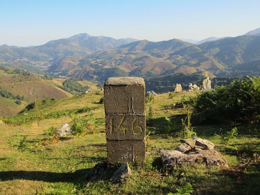 |
Bm146 |
 |
Bm146cross-west |
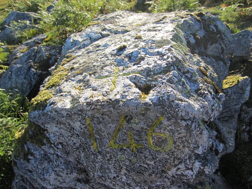 |
Bm146cross-west |
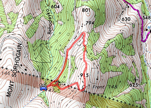 |
Trip 1 - walk 2 esfr-trip-track-trip2.kml (click to open this trip in Google Earth or copy link to Google Maps; click right on this link to download gpx-version) According to visugpx - distance : 2,0 km - cum. elevation gain : 105m - cum. elevation loss : 114m - total elevation: 219m - altitude maxi : 900 m |
 |
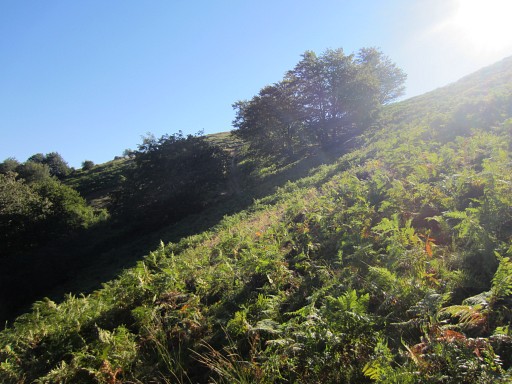
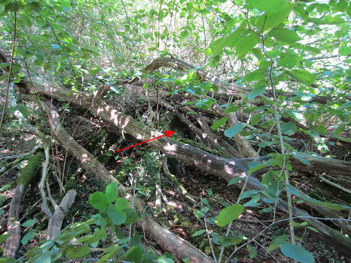
In june, the weather was rainy and foggy but now it’s excellent.
So I take my chance to do a little survey of the route between bm147
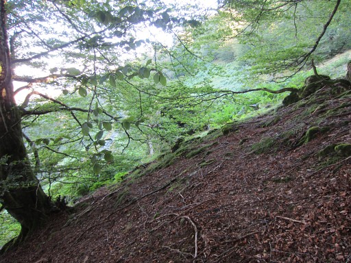
and 148 and beyond. I drive to close to the rock with bm147 above the road on the hillside. On 8 may 2009 I could climb to it directly from the road but now the fern and blackberry have grown to an unpenetrable jungle. |
 |
But there’s a nice & easy alternative. A bit back SW on the road
(towards the bend with the stream crossing the road), you can climb a
forested and fern-less part of the hillside. |
 |
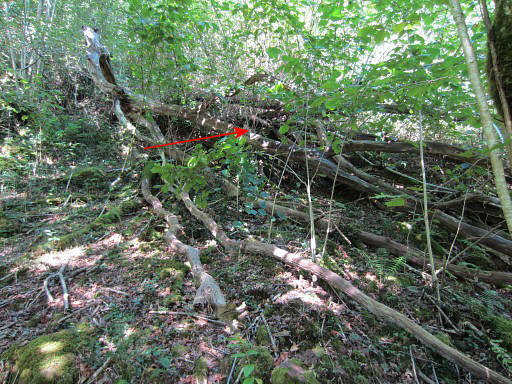
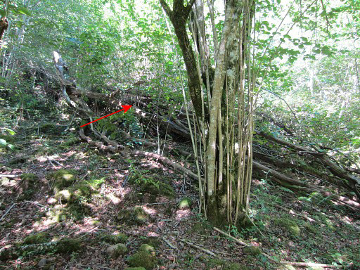
Then you can easily approach the rock
without traversing the fern. Only the last few meters are still fern but trodden down by other visitors of bm147. |
 |
Bm147 |
 |
Bm147 |
 |
Bm147 |
 |
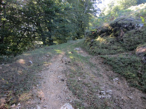
From there it’s easy to climb through grass and some fern-patches ± 100m E to a dirtroad |
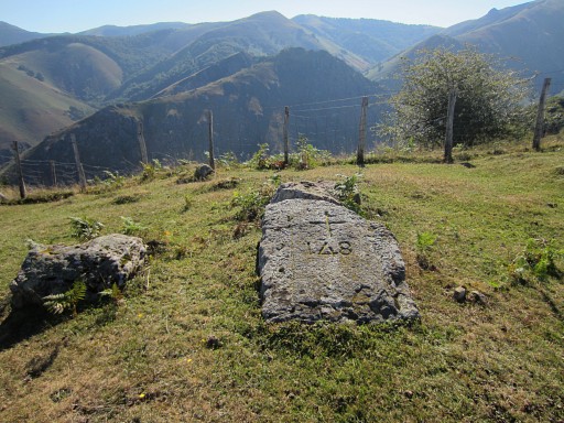 |
which brings you nicely to the ridge where bm148 is located |
 |
Bm148 |
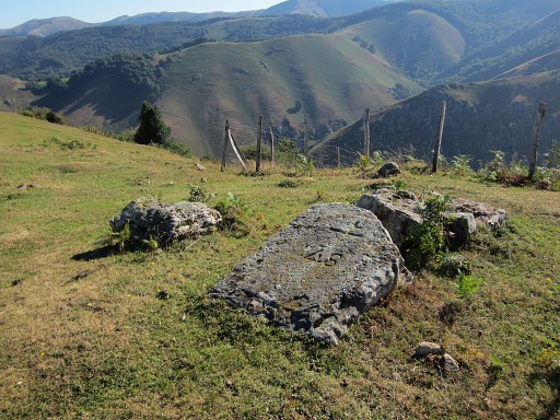 |
Bm148 |
 |
Bm148
|
 |
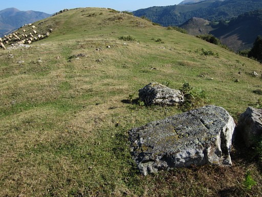
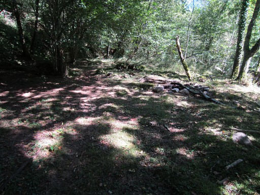
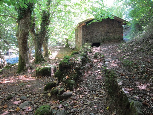
Then descending N along the ridge. Further on - after a cattle’s fence-rectangle - |
 |
a kind of trail appears at its left side which |
 |
descends to a dirtroad which is crossed |
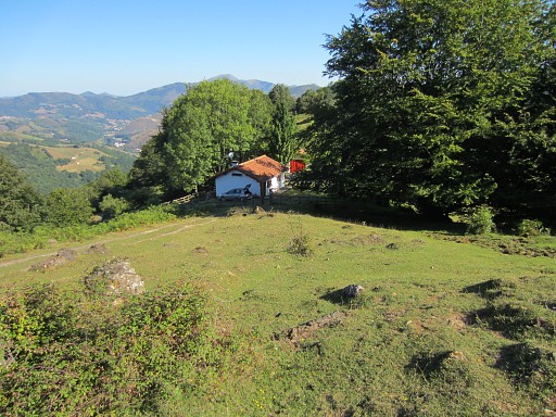 |
to lead you towards this house. My GRPdesBF-route descends from the house steeply NE (I did that on 9 may 2009. But I've seen enough and return to my car. |
 |
This picture: the spot where you can easily climb the hillside to traverse to bm147. |
 |
Trip 2 esfr-trip-track-trip3.kml (click to open this trip in Google Earth or copy link to Google Maps; click right on this link to download gpx-version) According to visugpx - distance : 3,0 km - cum. elevation gain : 137m - cum. elevation loss : 135m - total elevation: 272m - altitude maxi : 293m |
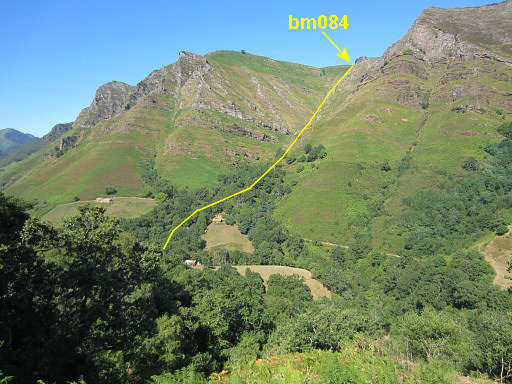 |
Driving to Bidarray and up into the hills towards the borderline
between bm085 and 086. I park my car and walk to bm085 which is an easy
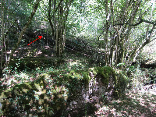
and pleasant walk. My target: the extra number 85, engraved in a rock close to the pillar 085. From approximately my parking spot this view to the borderline descending from bm084 to the river where bm085 is. |
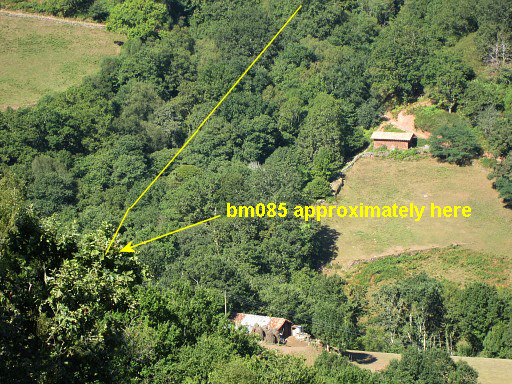 |
A zoom-in to where bm085 approximately is located. I descend along the road and |
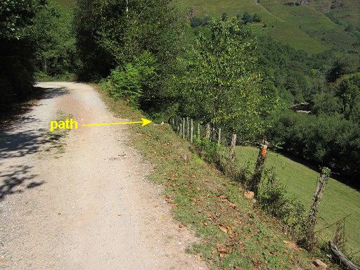 |
after crossing a bridge and passing a white house, I take this path which passes a barn and |
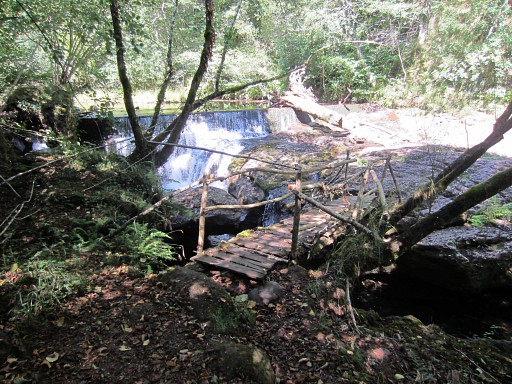 |
brings me to this bridge crossing the river. |
 |
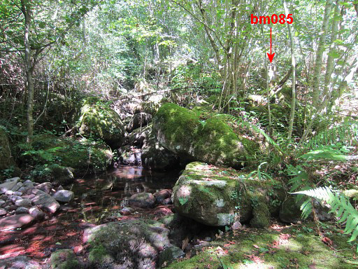
At the other side - after ± 50m - there's a branch to the right which leads you along the river |
 |
along this nice bivouac-spot to where a small stream (which may be dry) coming from the left merges with the river. Bm085 - a pillar - is located at the other side of the stream, a few meters higher. |
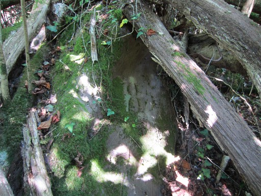 |
The extra number 85 (± 10m W of the
pillar 85 on the other side of the borderstream) is easy to find thanks
to pictures of the Darrieu’s. It’s engraved in a rock, hidden under a fallen tree. There’s only a number, no cross. |
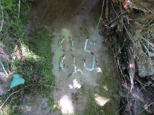 |
Bm085number, now with chalk. |
 |
Let's zoom-out to show you better where to find this rock & number 85 |
 |
Bm085number |
 |
Bm085number |
 |
Bm085number |
 |
Bm085number |
 |
Then to bm085 on the other side of the stream, easy to find. |
 |
Bm085 |
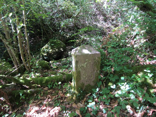 |
Bm085 |
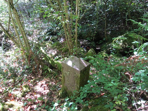 |
Bm085 |
 |
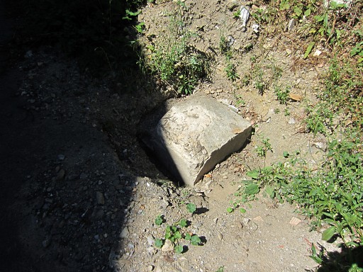
And two last pictures of bm085number. |
 |
If you still can't find this number, I think you'd better choose another hobby :-) |
 |
Then back to my car. This pictoresque barn is at the other side of the river, just past the small bridge. From there the trail climbs to |
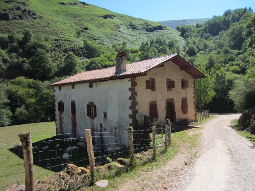 |
the dirtroad and passes this Basque-style house. |
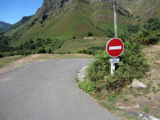 |
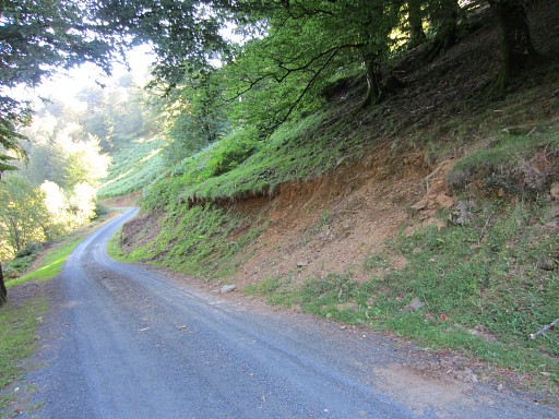
The dirtroad becomes a tarmact road and climbs steeply to this point. You can easily drive past this sign (I think no one will care) until the basque house. |
|
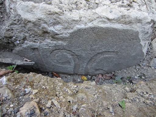
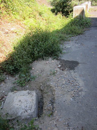
Trip 3 Then - as a final visit of this holiday - I drive to the venta’s of Arneguy for a check on bm196, discovered three months ago on 31 may 2013. Since then, Anne-Marie Bats and Bernadette ? uncovered the number, delivering the ultimate evidence that this is really bm196. |
 |
The sun is high and the shadows are too sharp for pictures. |
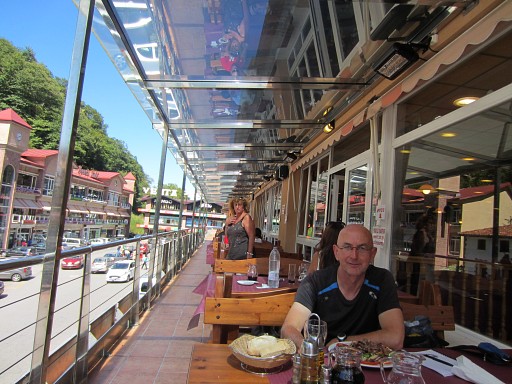 |
So I first enjoy a well-deserved lunch at a venta |
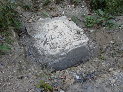 |
and afterwards return for better pictures of bm196 |
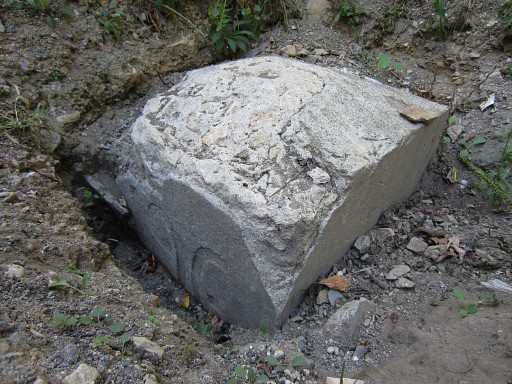 |
Bm196 |
 |
Bm196 |
 |
Bm196 This is the end of this fruitful Pyrenees-trip. The next day I will drive back to Holland. |