|
The
bordermarkers of the Pyrenees : all my trips
 |
|
| - sunday 6 september
2015 - 45 kilometers, finishing in the dark |
 |
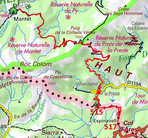 |
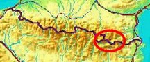
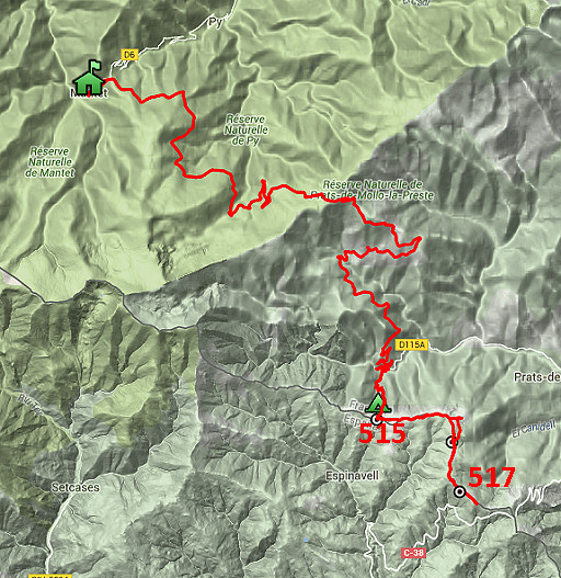
track-20150906.kml (click to open this trip in Google Earth or copy link to Google Maps; click right on this link to download gpx-version Summary: part of a 10-days trip to the Pyrenees, mainly meant as a reconnaissance for the GRPdesBf, starting with a two days roundtrip from Mantet re-doing bm511 to 517. Today: continuing along the borderridge from bm515 to bm517. Then a long, long way back to Mantet. Weather: nice, sunny, not too warm |
 |
For
explanation of
the gps-coordinates and other cartographic backgrounds: see the cartography-page The gps-track has not been manually corrected which explains the inaccuracy and misalignment at some points. GPS - km 44,8km (this includes a few stretches of hitchhiking) - max H = 2252m - elevation gain: 1416m - time: 12:03h Started at 8:45, no break, finish at 20.30 = 12.15h net walking time (including the hitchhiking). |
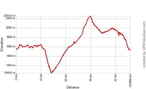 |
According to Gps-Track-Analyse - distance : 46,4 km - cum. elevation gain : 2658m - cum. elevation loss : 2655m - total elevation: 5313m - altitude maxi : 2255m - altitude mini : 1049m - altitude average : 1678m |
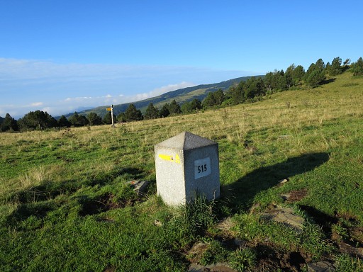 |
Bm515 After a bivouac closeby, the morning starts with sun & clear skies. |
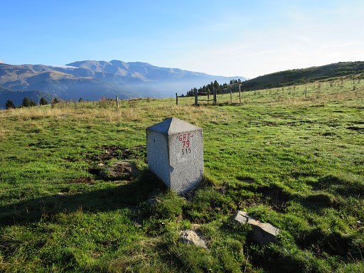 |
Bm515 is my starting point for a hence & forth trip to bm517 and back. |
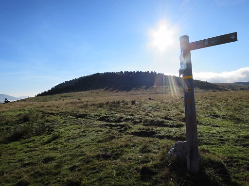 |
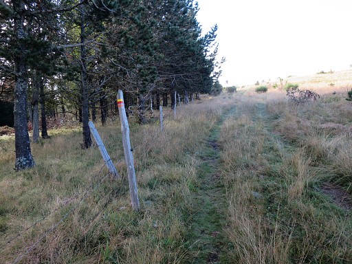
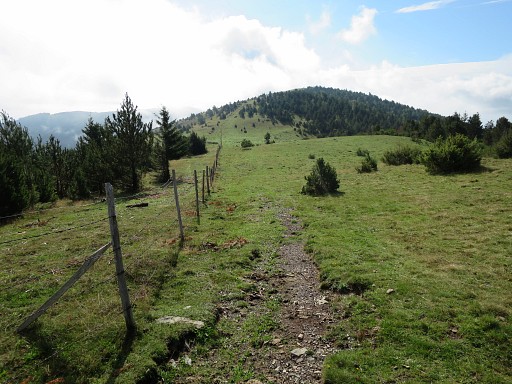
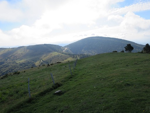
First heading E |
 along a trail |
|
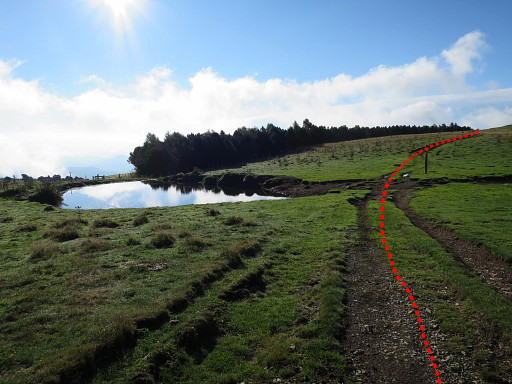 |
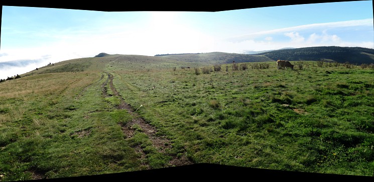
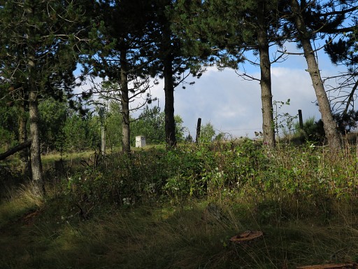
When a reach these ponds (there are
two of them), I should have continued straight on the dirtroad (going
S) and quitting the yellow/red waymarks until bm516. The waymarks direct you however to the left (=E) to the left side of the fores-ridge. |
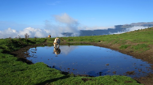 |
Could be a narcistic cow. |
 |
In fact I'm making a detour |
 |
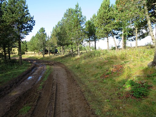
entering the forest on a muddy forestroad further on |
 |
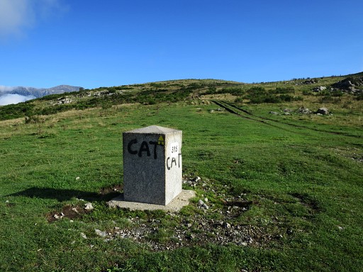
and walk to bm516 which can be seen already on this picture |
 |
but better in this zoom-in: bm516 |
 |
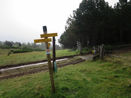
At the entrance of the meadow, I spot |
 |
the yellow-red waymarks again to follow to bm517 |
 |
But first: bm516 |
 |
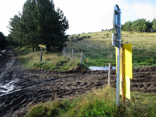
Bm516, looking N with the dirtroad which leads you to the two small ponds and then - turning W - to bm515. |
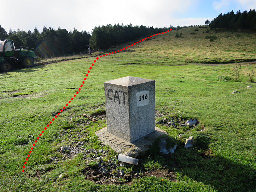 |
Bm516, now looking S where our trail continues along the fence. As said, at the fence the yellow/red waymarks reappear. |
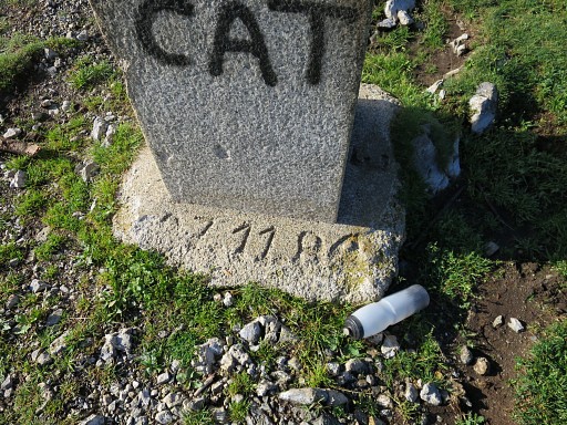 |
Bm516, with the year of construction (I suppose). |
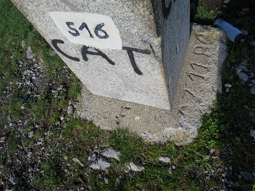 |
Bm516 |
 |
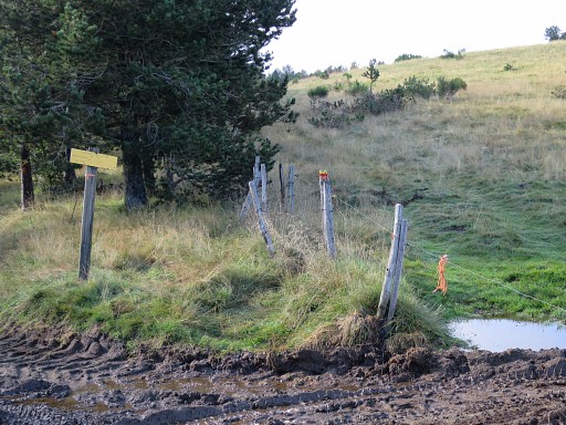
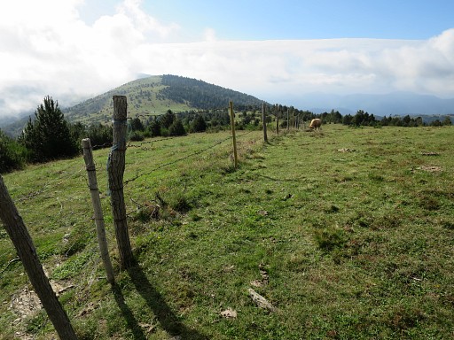
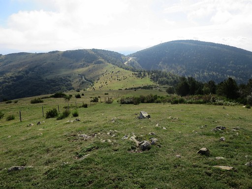
As said, I continue S along the fence, waymarked with yellow-red waymarks |
 |
Further on, a bull blocks my progress so |
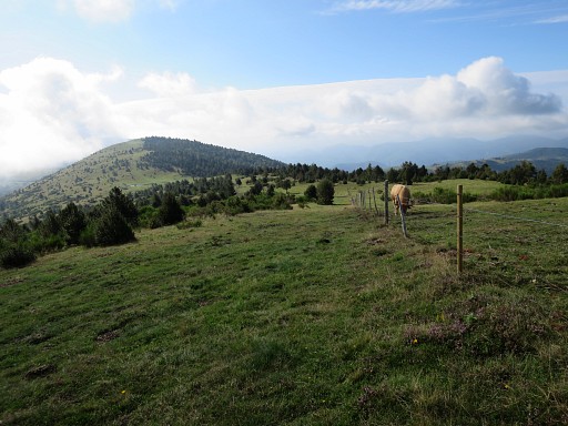 |
I switch to the other side of the fence |
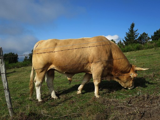 |
to pass in safety this quiet but unpredictable animal. |
 |
Continuing along the fence |
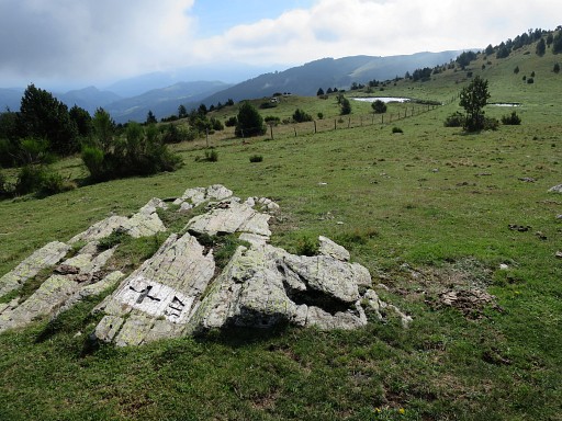 |
and being attentive not to miss bm517 which is about 15m from the fence. The small ponds further on serve as a reference point. |
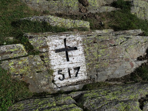 |
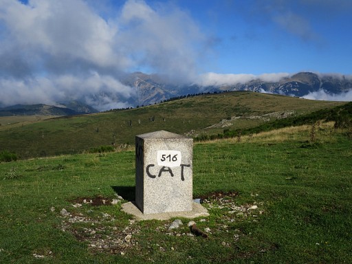
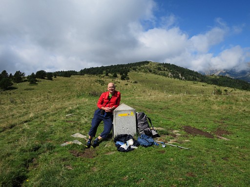
Bm517 |
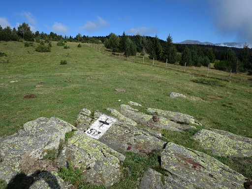 |
Bm517, looking back along the fence |
 |
I walk about 600m further to better spot where bm518 is. Navigating is still easy: follow the fence. |
 |
Getting a bit closer: the Col d'Ares becomes well visible with its tarmac road leading up to it. |
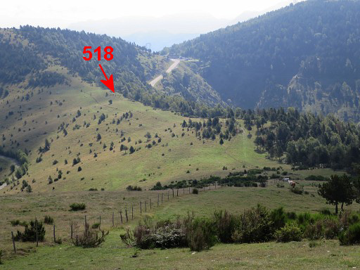 |
And with this zoom-in and |
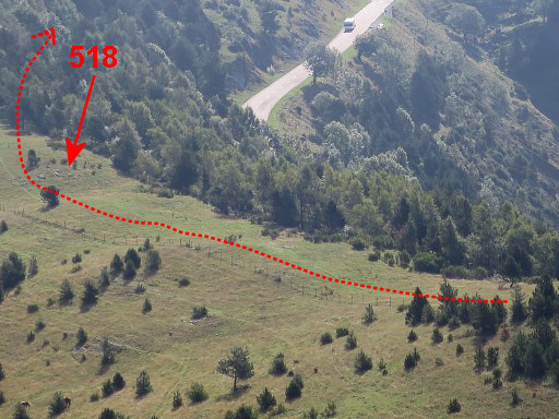 |
this further zoom-in, we can even spot the rocks where bm518 is engraved. The GRPdesBF-trail leaves a little bit further the borderridge to enter the forest on a trail for a shortcut to Col d'Ares |
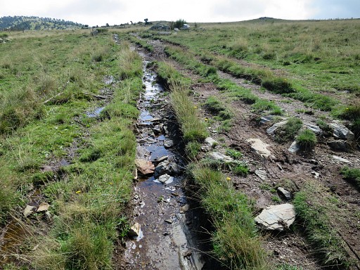 |
I return to bm515, this is the tiny stream where I had to collect water yesterday. |
 |
Back at bm515. Now I make a misstake: it would have been better to return along the border to Roc Colon (bm512) and then take a trail going N towards Mantet, back to my car. |
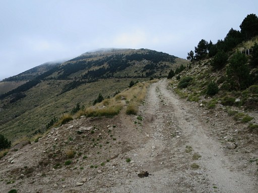 |
But instead I decide to descend to La Preste and then climb the winding mountain-roads to the Collade des Rocques Blanches. Luckily I get some hitchhikes uphill, saving perhaps 5km but it's alltogether much longer than I thought. This picture: already high in the mountains |
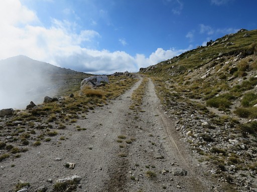 |
and now approaching the Collade |
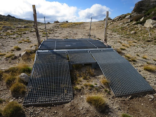 |
with this peculiar cattle-barrier. |
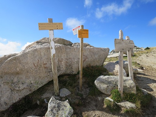 |
The Collade with a lot of waysigns |
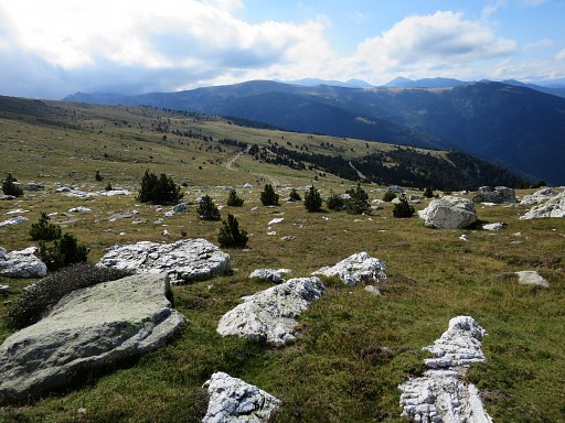 |
This is the direction to go: a very long and winding descent along the hillslopes towards Col de Mantet. |
 |
Finally reaching Col de Mantet and
then zigzagging downhill to Mantet where I arrive in the dusk. Luckily
I can still get a bed and a meal in the Gîte d'Étappe. The next morning I visit the charming village and church and reorganise my stuff. Then I drive to the trainstation of La-Tour-de-Carol and take the bus to Foix where Charles Darrieu is waiting to lodge me in his very hospitable way in St-Girons. A day later he will drop me in the mountains above Guzet-Neige for a week-long trekking through Andorra, back to La-Tour-de-Carol. |