|
The
bordermarkers of the Pyrenees : all my trips
 |
|
| -
sunday 23 july
2017 - Trailrunning from bm074 to 083, visiting the Gorospil-cemetary |
 |
 |
Summary:
part of 13 day-trips in the Pyrenees, covering various
targets from the Basque country up to Llivia. Today: Redoing bm75 to 83 but I forgot 84! Also: visiting the Gorospil-cemetary with ± 6 bordermarkers thrown from the hillridge by bm-vandals. Weather: cloudy |
 track-20170723.kml
(click to open this trip in Google Earth or copy link to Google Maps; click right on this link to download gpx-version). The gps-track has not been manually corrected which explains the inaccuracy and misalignment at some points. For cartographic backgrounds: see the cartography-page |
|
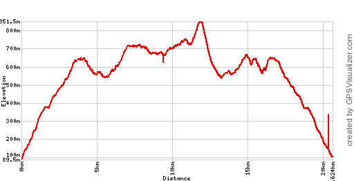 |
According to Google Earth:
19km, max-height 826m, min-height 123m, elevation: +1159m -1159m Start 8:47 Finish 16:18 |
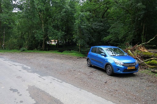 | I park my car near bm074, visited yesterday. |
 | From the footbridge I follow the yellow trail uphill which is still the same trail as in 2009. In the opposite direction, it has become a mountainbike-trail. |
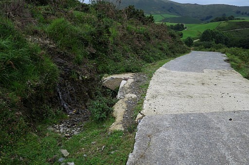
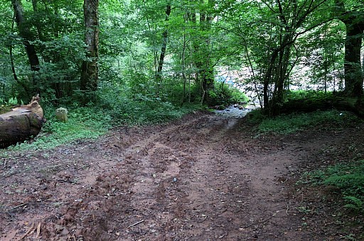
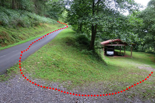 | I have started in trailrunning-style and will run until the last bm of today's trip: bm84 (10km). But I have to walk a lot af time due to steep parts of the trail. This picture: the trail arrives at a tarmac road and follows it for ± 100m before turning left and climbing E in the forest |
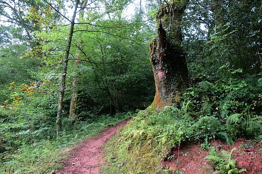
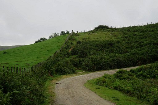
 | to arrive after 500m at this spot. I go straight on, up the hillridge, which is still the mtb-trail (but waymarked in the opposite direction) |
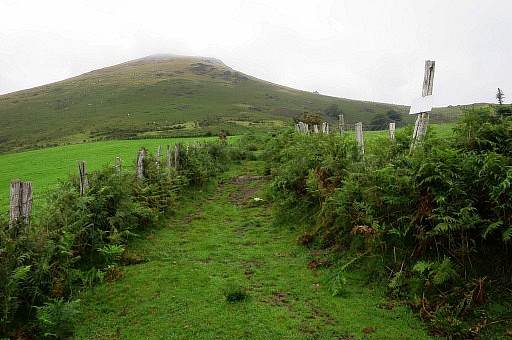
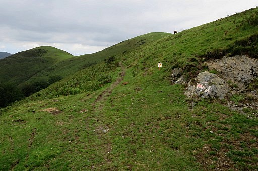
 | Looking ahead: it's a long hillridge to climb towards the Col of Gorospil Lepo (bm075 and bm076) |
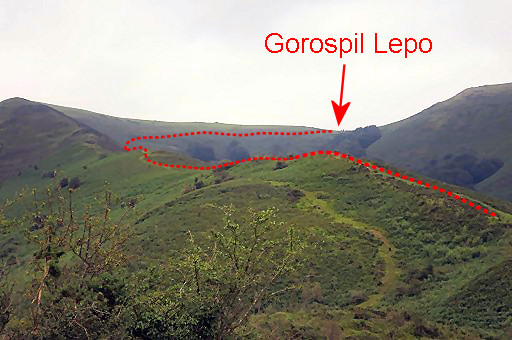 | This picture: further on with the trail to Gorospil Lepo indicated. |
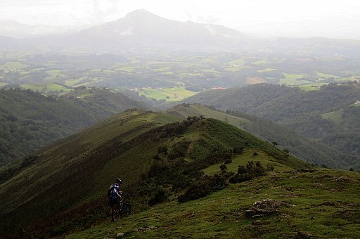 | Looking back, note the mountainbiker. In the far distance: La Rhune |
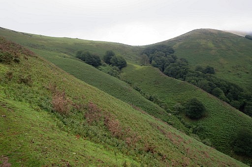 | Getting closer to Gorospil Lepo. |
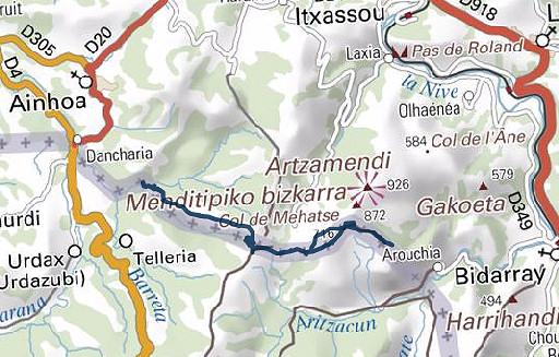
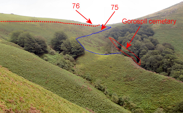 Zoom-in of previous picture showing: - that bm075 is not along the main trail as it was in 2009 (the trail has changed) - the blue trail/route bringing you to bm075 and to the Gorospil cemetary. From bm075, you could also simply descend (steep!) to the cemetary. |
|
 | As said, I missed bm75 which was right besides the trail in 2009. Later I will find out that the trail has changed. |
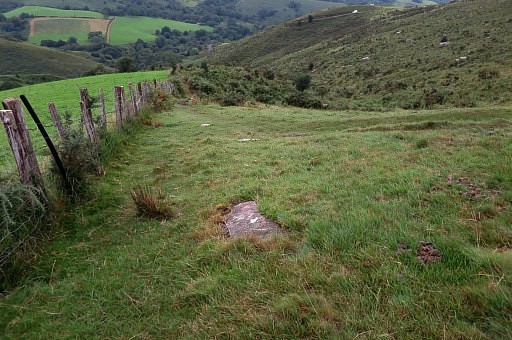
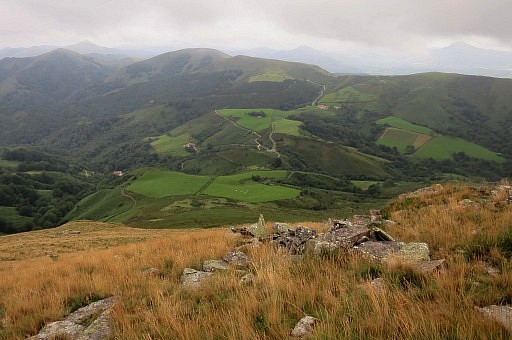
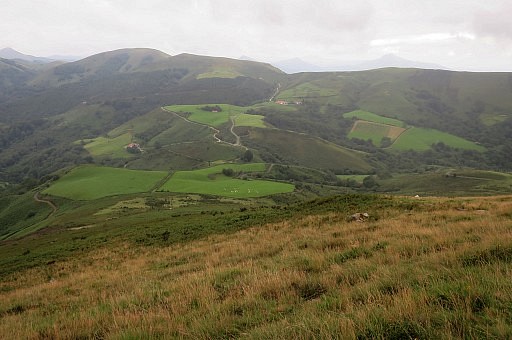
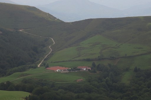
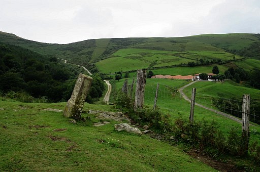
 | Having descended from Gorospil Lepo via the road. Here I take a shortcut along the meadow, passing bm77 which you can spot at the ridge. |
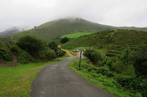 | Beyond bm077 my route merges for a while with the GR10. The mountain of Pic Iguzki (with bm079) ahead. |
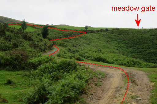
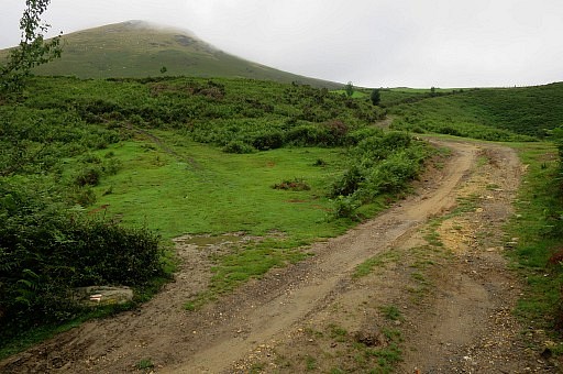 | I will skip bm079 on the Pic to do that later on my way back. Following this dirtroad ahead (while the GR10 turns left as you can see by the waymarks in the left corner). |
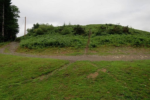
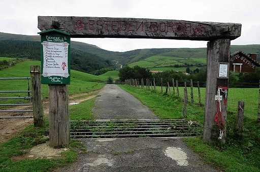
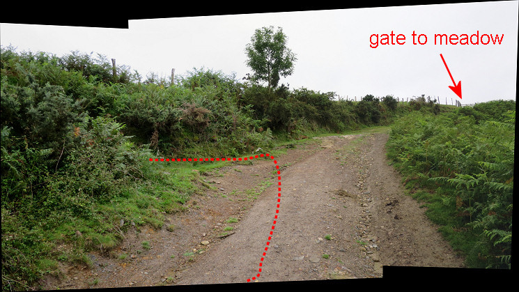 I arrive at this point. Don't go as far as the end of the dirtroad with the gate. Take a trail to the left entering the fern.
| |
 | The trail through the fern brings you to this corridor between two fields (= the border) |
 | and to bm078. If you want to cover bm079 at the Pic, you have to go straight ahead and climb the mountain (no trails). |
 | But I continue at the main GRPdesBF-route -> at bm098, I turn left and after 100m merge again with the GR10. |
 | The GR10 brings you to the road and via the road to Col de Mehatse (bm089) and onwards to bm083. |
 | I run to a bit beyond bm83 to explore the course of the GR10, then return to bm083 and stop and change clothes. Only afterwards - back at the camping - I will realize that I forgot bm084, which is not standing along the GR10 but requiring a detour. I will visit bm084 two days later. |
 | I walk back, now photographing en geocoding all markers. Bm083 |
 | Bm083 |
 | Bm083 |
 | Bm082 |
 | Bm082 |
 | Bm082 |
 | Bm082 In the distance, I spot |
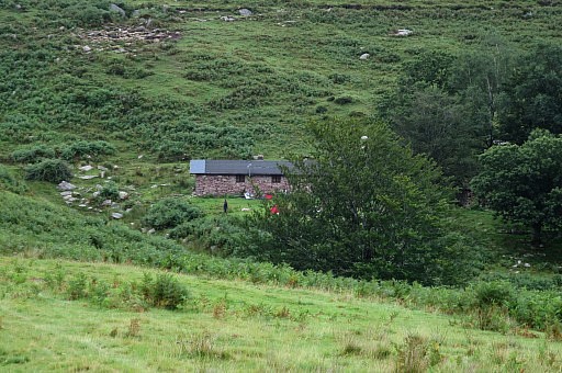 | a barn with a few tents. I will check that two days later to find that the barn is private. |
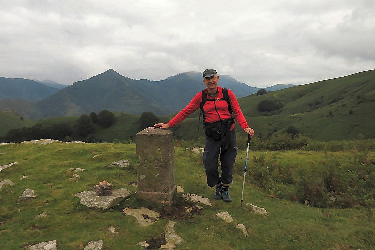 Myself with bm082.
| |
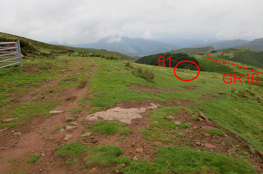
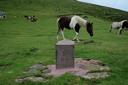
 | Bm081
is a bit off the GR10-trail and not directly visible from it. There is a sort of detour from the GR10 possible so that it's more part of the GRPdesBF, I have to think of that |
 | Bm081 |
 | Bm081 |
 | Bm081 |
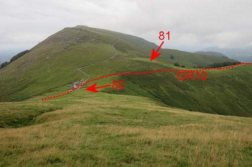
 | That
detour would mean: from bm080 climb up the tarmac road for 200m and
turn right at a dirtroad. From there you can continue along bm081 and descend to the GR10 |
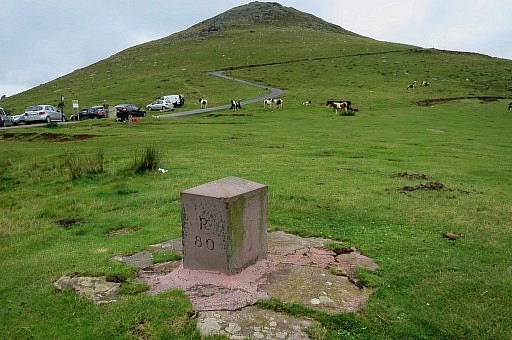
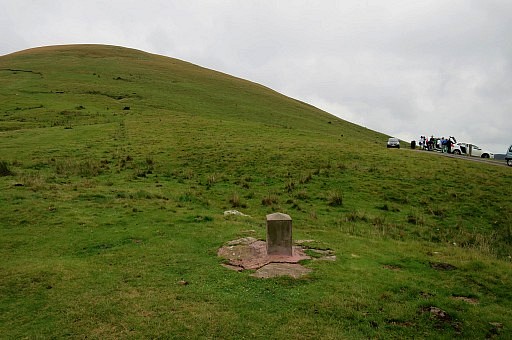 | Bm080 Ahead: the Pic Izugki. The climb to bm079 from this side seems considerably shorter (110m elevation climb) than the ascent at the other side (225m elevation climb). It might be easier to first walk to bm80 and then go hence & forth to bm79. |
 | Bm080 |
 | Bm080 |
 | Climbing to the Pic, looking back. |
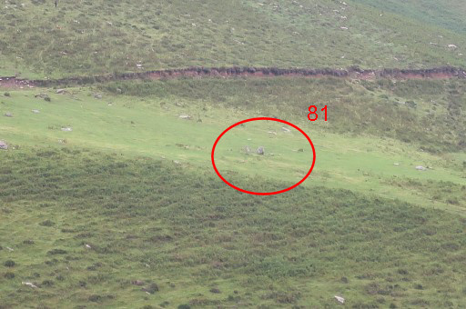 | Zoom-in to bm081 |
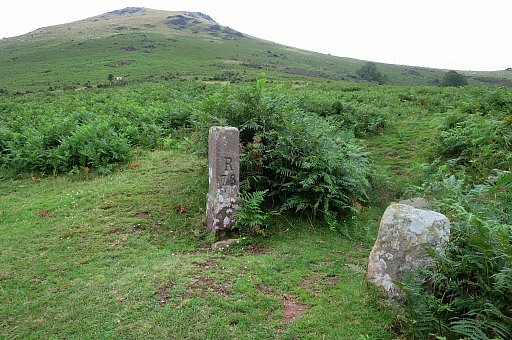
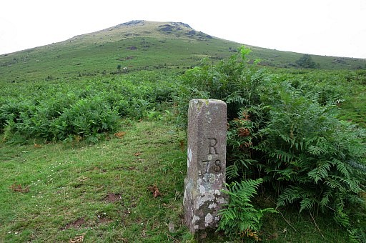
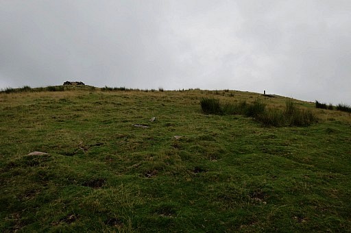 | Approaching bm079 |
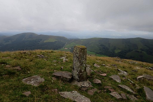 | Bm079 |
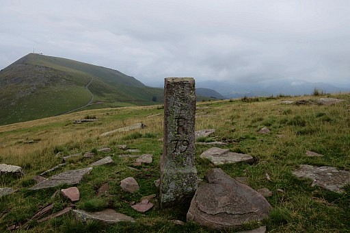 | Bm079 |
 | Bm079 |
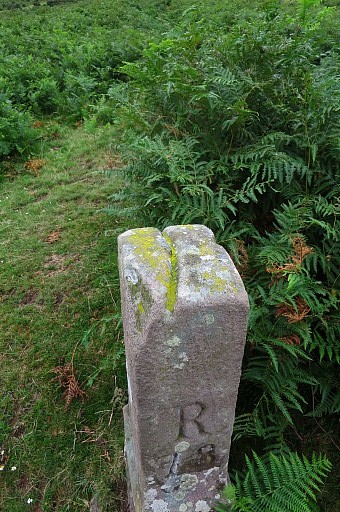
 | Bm079, note the groove at the top, indicating the course of the borderline. |
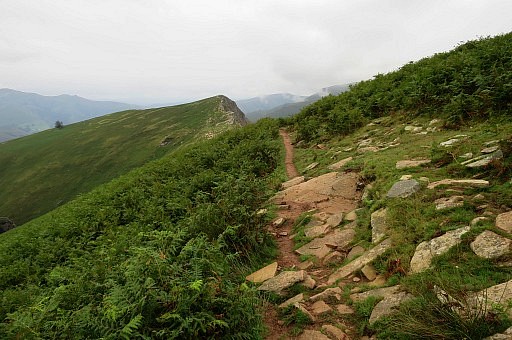
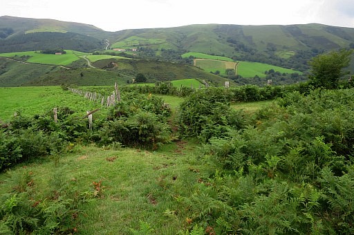
 | Descending |
 | The grass turns into fern |
 | Zoom-in to the pass of Gorospil Lepo (bm076) |
 | Close to bm078 now |
 | Bm078, looking back |
 | Bm078 |
 | Bm078, note the groove |
 | Bm078 |
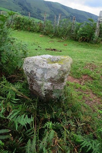 | Some local marker besides bm078 with a cross on top of it. |
 | Another view of that dirtroad & gate, while going up on the way to bm078. |
 | A farm with lodging (gîte d'étappe) and a restaurant. |
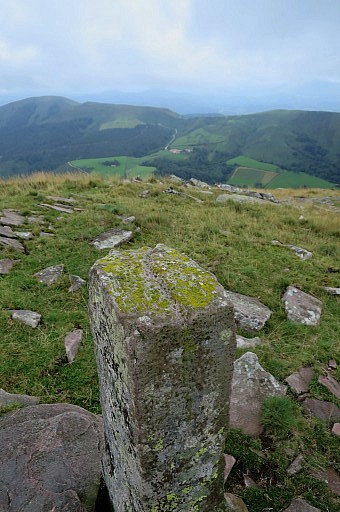
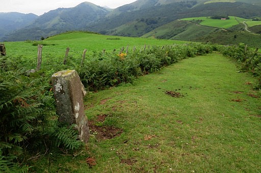
 | Bm077 |
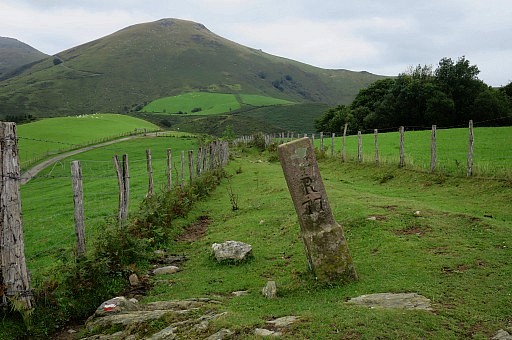 | Bm077 |
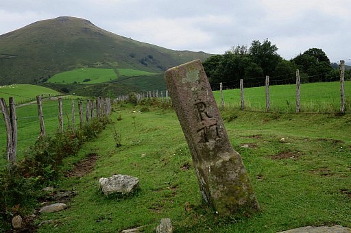 | Bm077 |
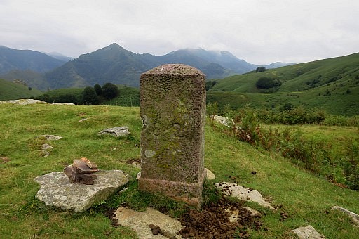
 | Bm077, with again a groove indicating the borderline. |
 | On my way up to Gorospil Lepo, a source at the roadside. |
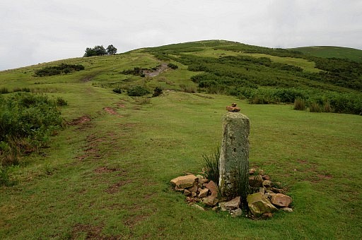
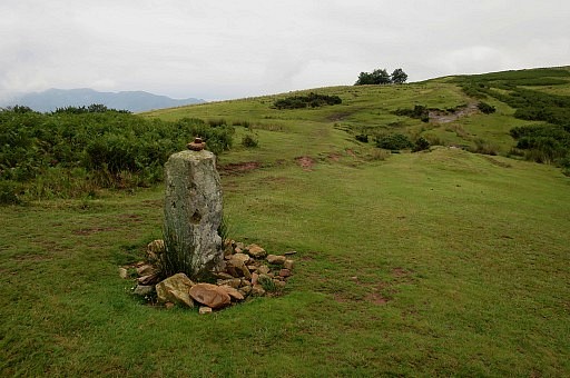
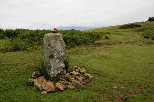
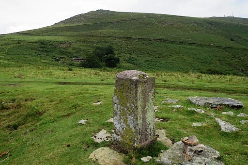
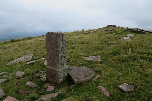
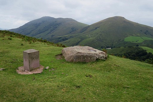 | Bm076 |
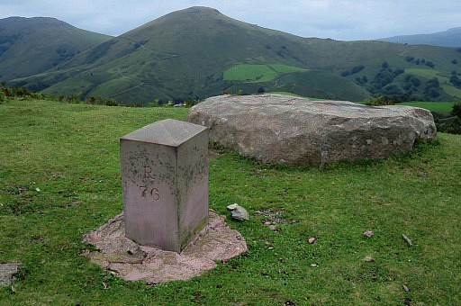 | Bm076 |
 | Bm076 |
 | Bm076 |
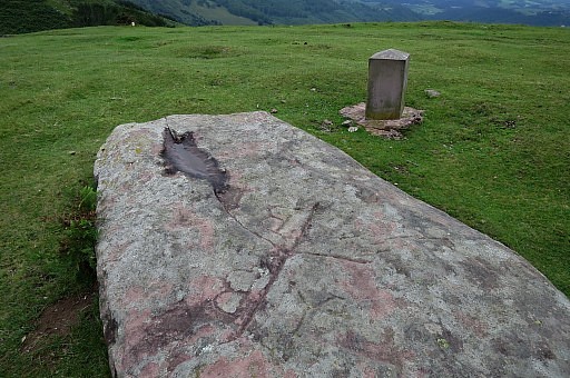
 | The old marker showing a tripoint in communities. |
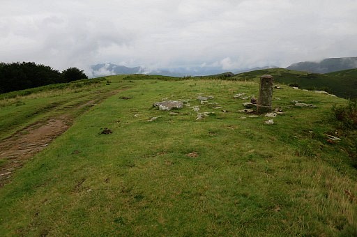
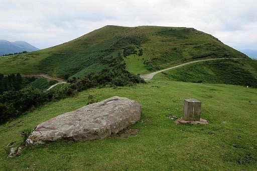
 | From the Gorospil-pass, this is the beginning of the mountainbike-trail downhill. I followed the mtb-trail uphill. As said, bm075 is not along the mtb-trail. |
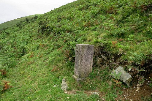
 | It stands lower at a now vanishing trail which we used in 2009. |
 | Bm075 is not visible from that mtb-trail. |
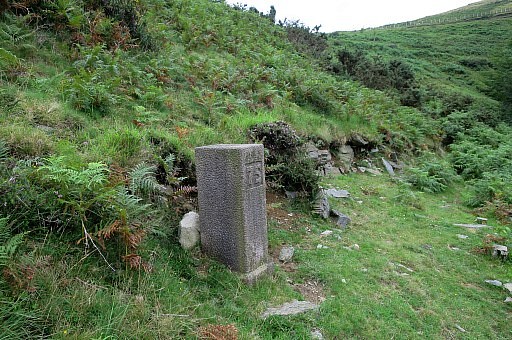 | Bm075 Either you just use your gps or descend directly NWW from bm076. |
 | Bm075 |
 | Bm075 |
 | Bm075, looking down towards the Gorospil-cemetary |
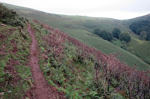
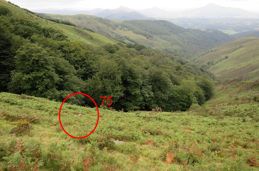
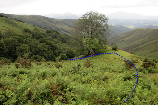
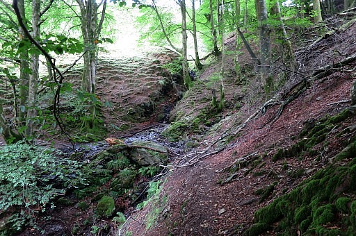
 | Or you can use this little detour. |
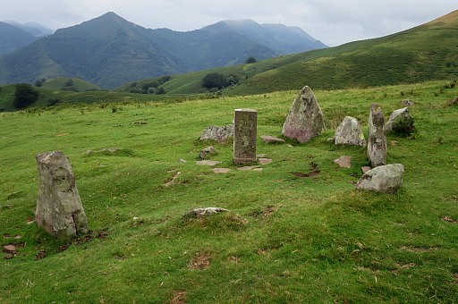
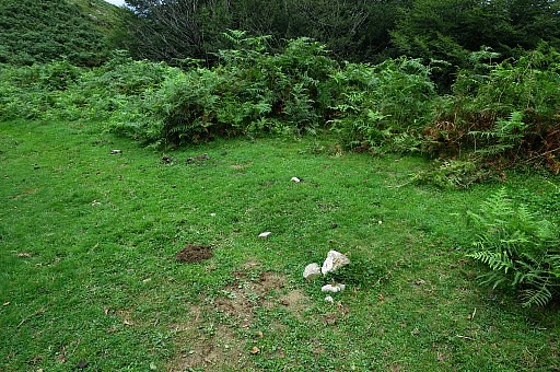 | About here you have to turn right on a trail through the fern bringing you to bm075 and further on to the Gorospil-cemetary which is a graveyard of borderstones thrown from the Gorospil mountain-pass in the Basque-country. |
 | For whatever reason, bm75 and 76 were not quite popular
between 1948 and 2003. Several successive generations were removed and
tossed down the hillside to be dutifully replaced by officials with a
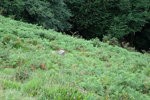
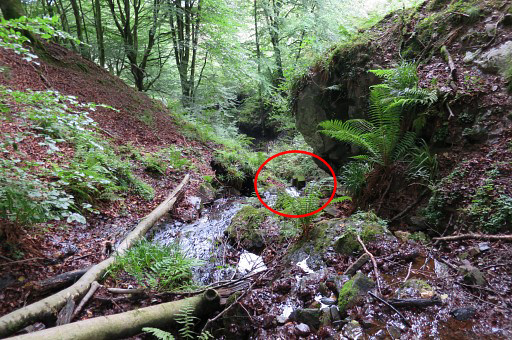
new bordermarker. Read the story on this page. This approach with a half circle on the north-side, is am easy way |
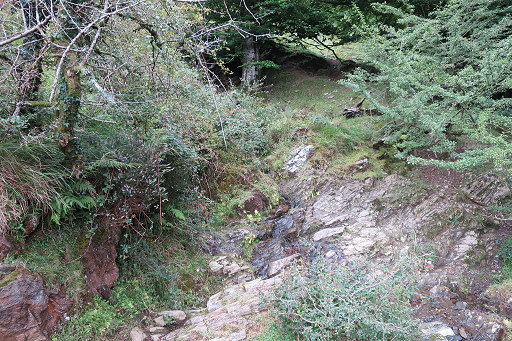 |
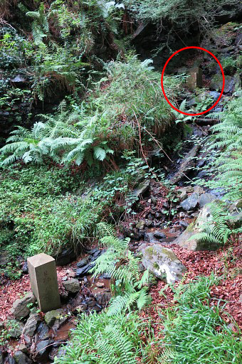
to get to the tiny cascade + streamcrossing which divides the two cemetaries: the upper with three erected bm's and the lower - also with three erected bm's. |
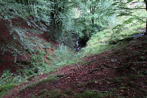 | The lower part requires some scrambling along the steep sides of the stream but that offers no problem. |
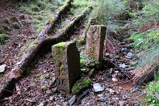
 | The two first bm's come in sight. |
 | Getting closer |
 | and closer |
 | and closer. |
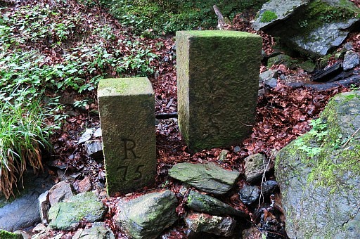 | One is numbered, the other not. |
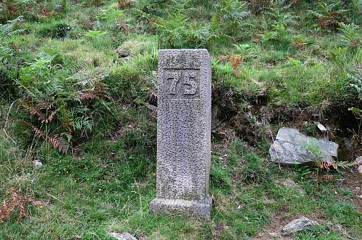
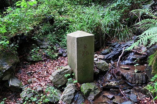 | Then, about 10-20 meter downstream, there is this nr75-marker of a newer generation. |
 | A little bit damaged but overall in perfect shape |
 | |
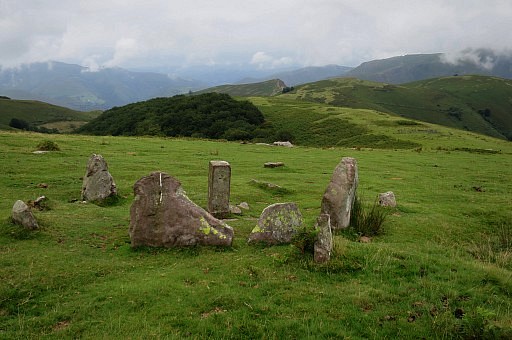
 | Now the three markers in the lower cemetary in one shot |
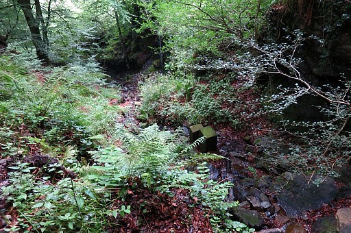
 | Climbing back to the crossing of the stream which divides the lower and the upper cemetary. |
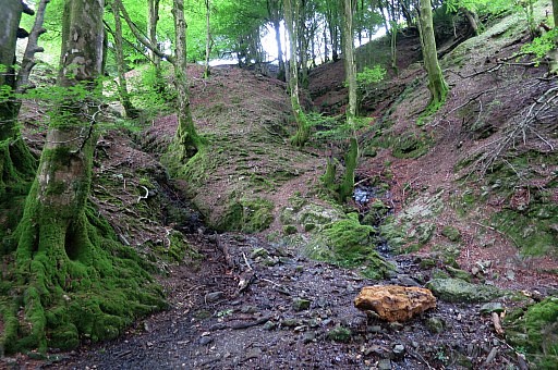 | There is a sort of bifurcation here, the left one leads to the upper cemetary |
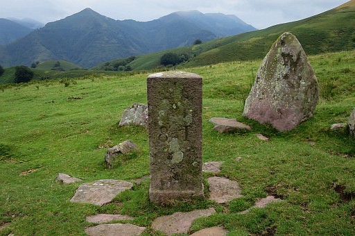
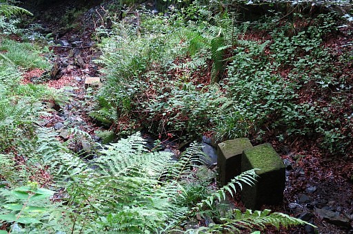
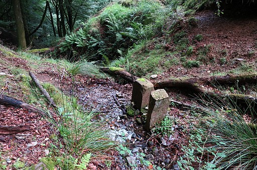
 | The first two markers in sight. |
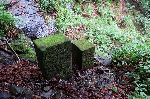
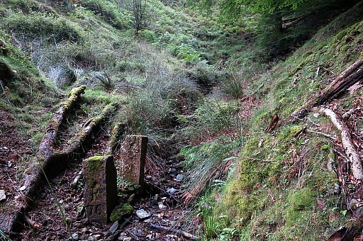 | Getting closer |
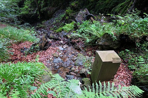
 | One is numbered, the other one is the split up half of a marker. |
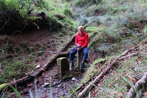 | Self-portrait. |
 | Looking down |
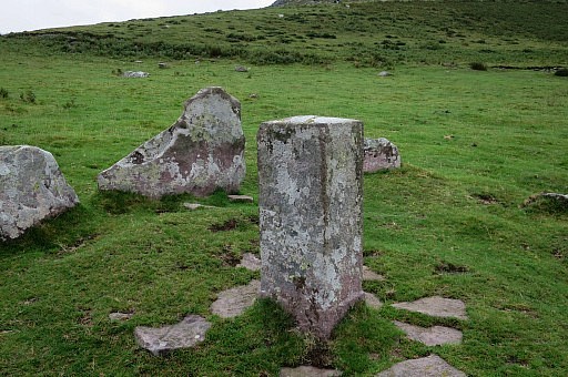
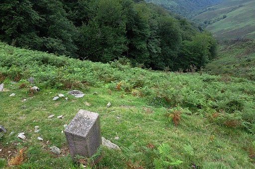
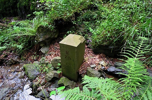
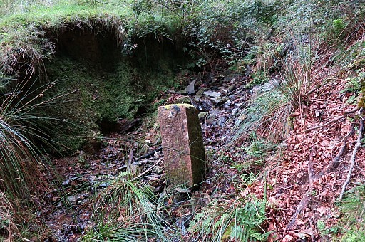 | A bit upstream is this marker |
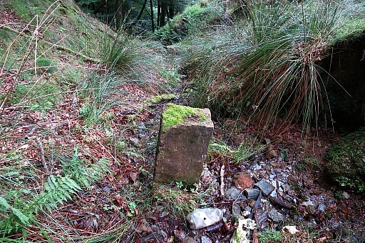 | with no number. From here I climb back through the forest to the trail uphill. |
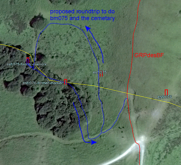 This could be your roundrip to cover bm075 and the cemetary. |
|
 | I'm content with my explorations and walk quietly back to my car. The next day is a rainy day and I have a day of recuperation = lazy hanging around. |