|
The
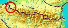
bordermarkers of the Pyrenees : all my trips
 |
|
| -
friday 28 july
2017 - Exploring routes bm228-233, luxurious wild camping |
 |
 |
Summary: part of 13 day-trips in
the Pyrenees, covering various
targets from the Basque country up to Llivia. Today: trying a new route between bm229 and 230 and checking the variant via 232. Weather: splendid |
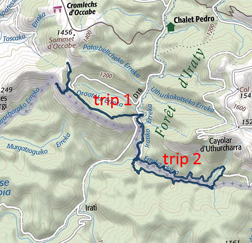
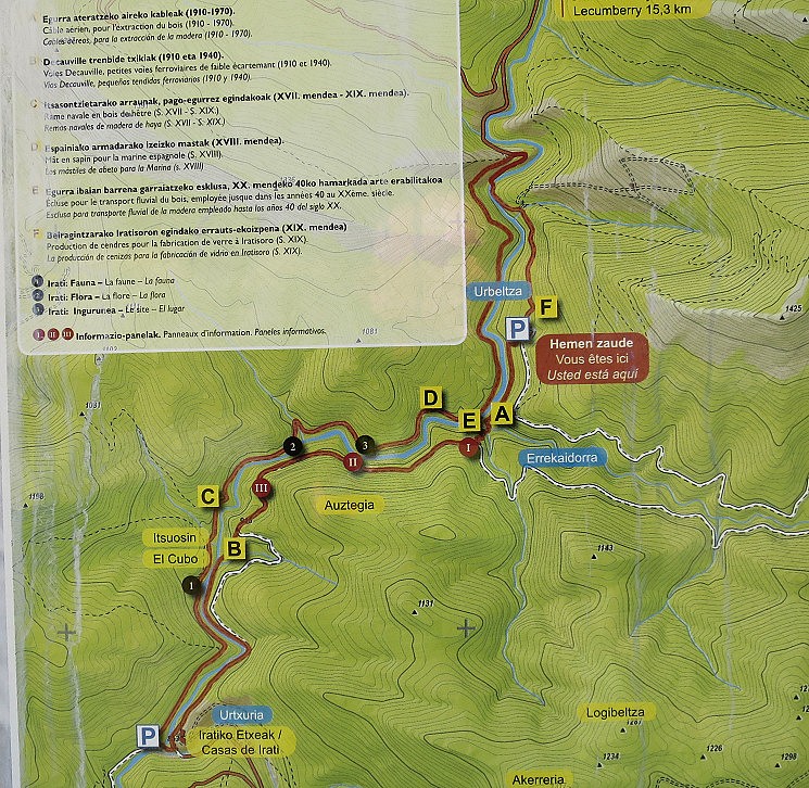
| Trip 1 | Bm228-229 |
 track-20170728-trip1.kml
(click to open this trip in Google Earth or copy link to Google Maps; click right on this link to download gpx-version). The gps-track has not been manually corrected which explains the inaccuracy and misalignment at some points. For cartographic backgrounds: see the cartography-page |
|
 |
According to Google Earth:
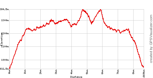
8,2km, max-height 1358m, min-height 934m, elevation: +684m -685m Start 11:49 Finish 15:17 |
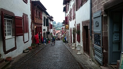 | The day started drizzling, I visit Saint-Jean-Pied-de-Port and then decide to drive to the camping in Larrau. |
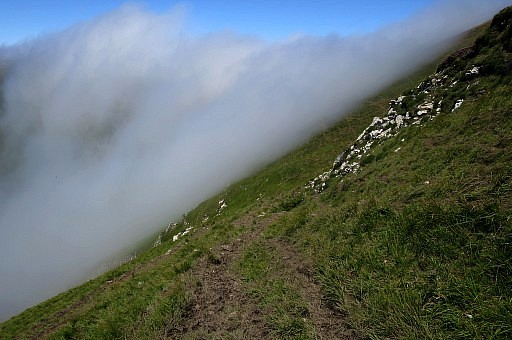
 | On
the hills it's quite foggy but when I descend to the D18, the skies
have cleared and I drive to the end of the D18 to give it a try. And
there the sun shines! |
 | I
see that there is a red-white waymarked trail leading up the
borderridge. That could be a better alternative than the descent from
Col d'Oraaté on the tarmac road. And it is. |
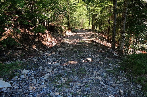
 | The first few 100 meters are steep climbing but well manageable |
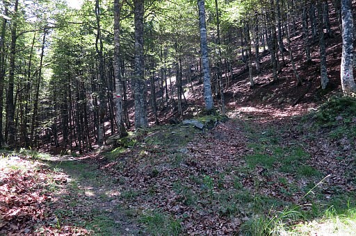
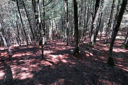
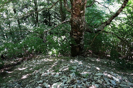
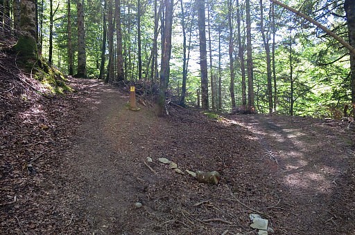
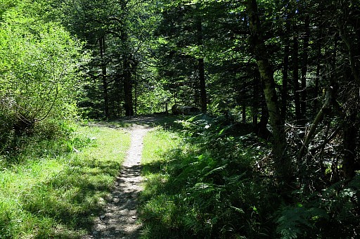
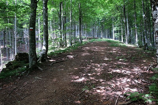 | I enter the forest on a well path cq forest road and the elevation becomes less. |
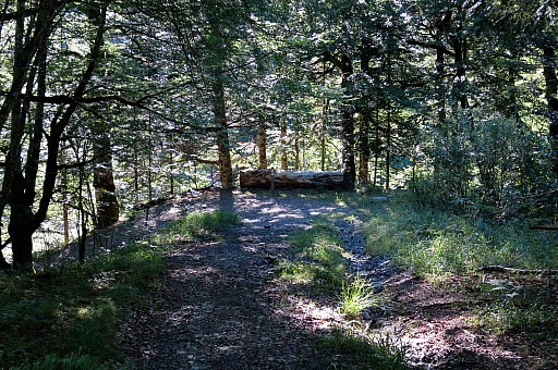
 | It's a nice walk in a really silent forest. |
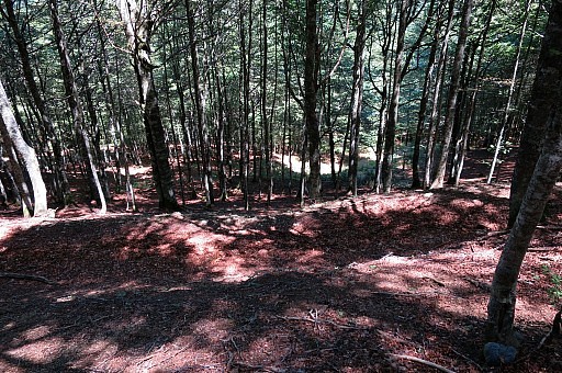
 | It joins with the tarmac road just before the tarmac road ends at Col d'Oraaté. |
 | Looking back to where the forest road meets the tarmac road. |
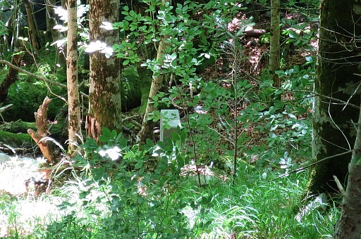
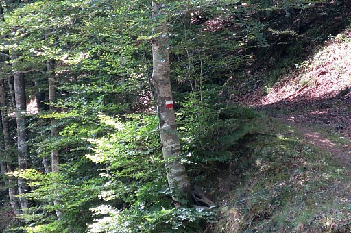 | Red-white waymark |
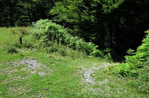
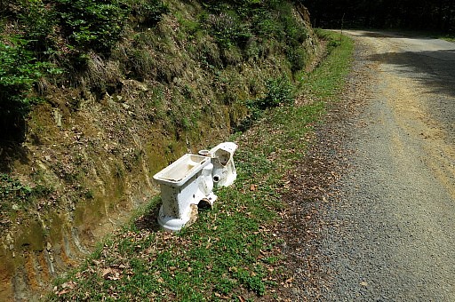 | Lost toilet |
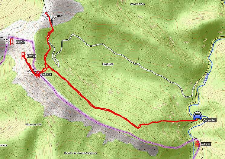
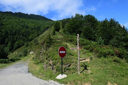
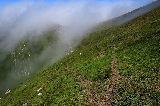
 | At Col d'Oraaté it's foggy and it no use to proceed from here to bm227. But there's another option I want to try: is it possible to descend from bm229 down the steep forest side to the red/white-trail: that would make the variant 228-229 not a hence & forth trip from bm227 but in fact a short-cut. |
 | I return to the red/white trail, entering the forest. |
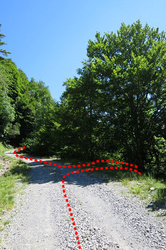
 | A bit further this bifurcation. I take the right one and establish with my gps the right spot to climb the steep forest side and that's no problem. |
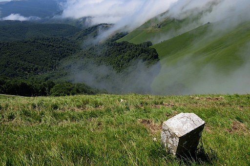
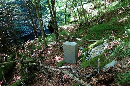
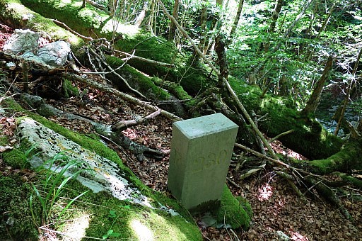
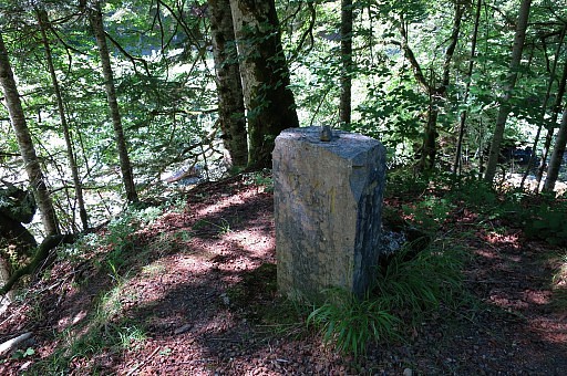
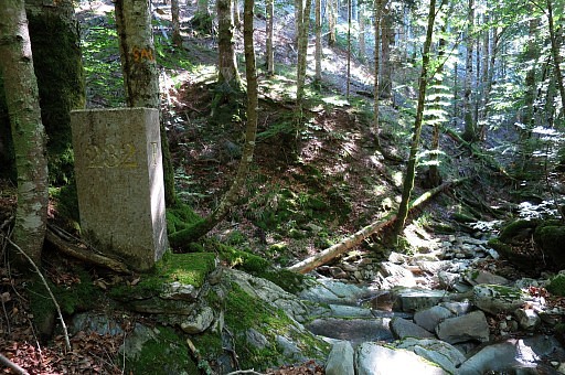
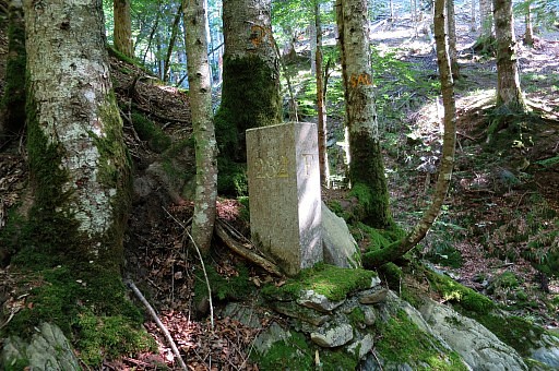
 | I arrive at bm229 |
 | Bm229 |
 | Bm229 |
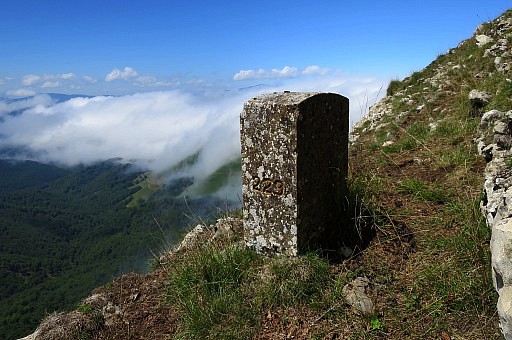 | Bm229 |
 | Bm229 |
 | Bm229 |
 | From bm229 I follow |
 | various cattle tracks |
 | to bm228. |
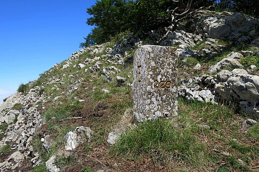
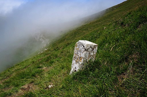 | Bm228 Further on - towards bm227 and Col Curutxe it's still foggy. Too foggy for good pictures of bm227. |
 | Bm228, looking back |
 | Bm228 I return to bm229: climbing on cattle trails towards the ridge and continuing beneath it but not too close. |
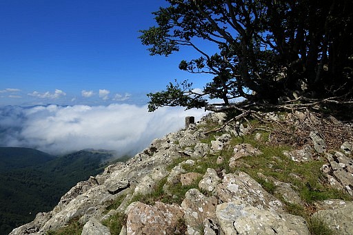
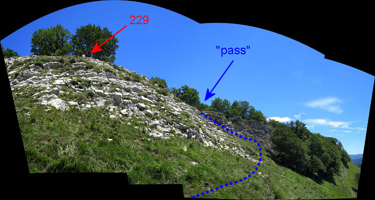 At one point you can spot the top of bm229 just before a sort of pass where you can climb to the ridge.
| |
 | Bm229 |
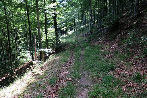
 | From the ridge I descend in NE-direction |
 | back along the forest hillside to the red/white trail. Note: there is a forest track/road in between to pass, ± 30m before you arrive |
 | at the forest track which is the red/white trail. |
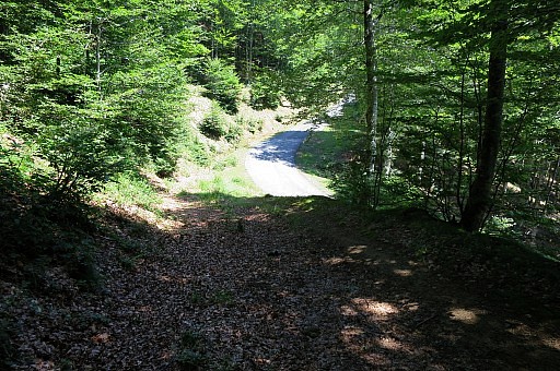
 | This picture: the trail is about to leave the forest. |
 | The waymarking has been well but you have to be careful when the trail leaves the forest. |
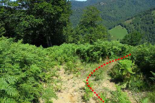 | About 50m further you have to turn right and take a path through the fern. |
 | A red/white cross warns a bit further but it's not obvious to see where the path enters the fern. |
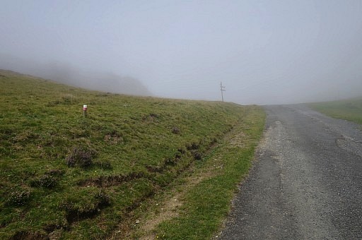
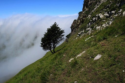
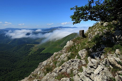
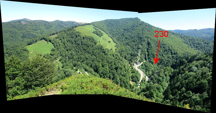 Panorama-view with an indication of bm230
| |
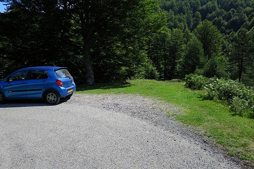
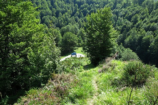
 | Almost back at the caar. I'm content. Coffee-break at the car. |
| Trip 2 |
Bm230-232 |
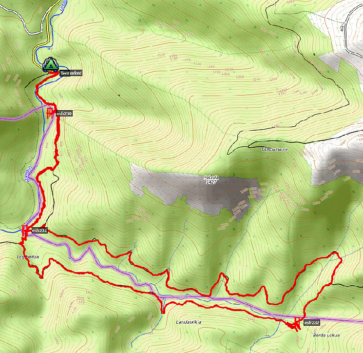 track-20170728-trip2.kml (click to open this trip in Google Earth or copy link to Google Maps; click right on this link to download gpx-version) According to Google Earth: 11,7km, max-height 1147m, min-height 904m, elevation: +649m -650m Start 15:56 Finish 19:55). |
|
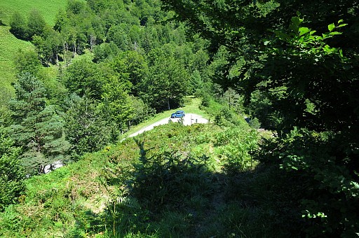
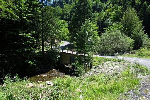 | Main goal: testing the variant via bm232, not fully done yet. Beyond the bridge you arrive |
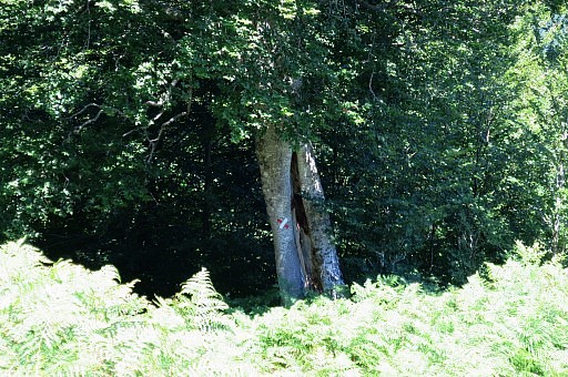
 | after 250m at this spot. I redo bm230 which is down the roadside. |
 | The beech tree where to descend is still a well landmark. |
 | The upper part of the descent/climb is a bit slippery with loose stones. |
 | Bm230 downhill |
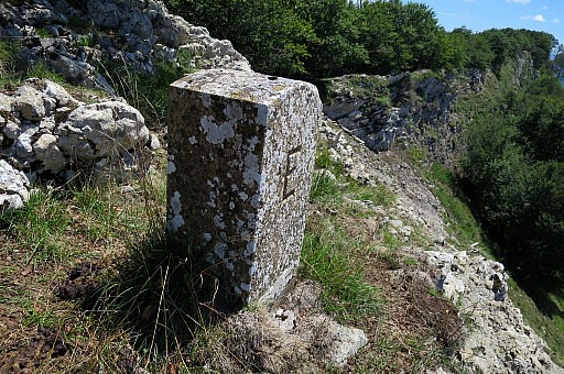
 | Bm230 |
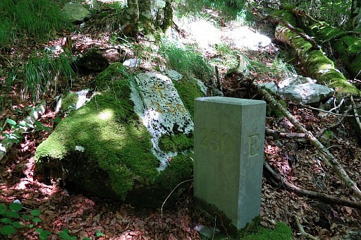 | Double markers: pillar and cross |
 | Bm230 |
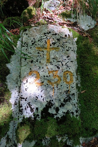 | Bm230 |
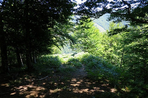
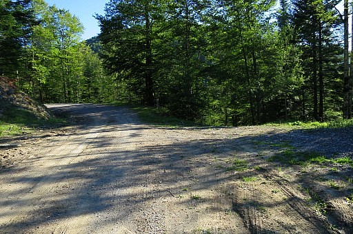
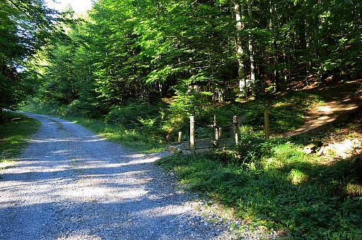
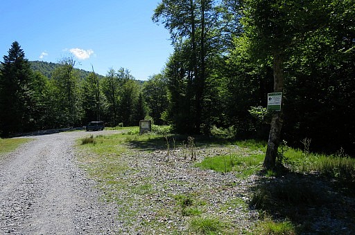 | Climbing back to the road. Further on, there is sort of parking and I discover that |
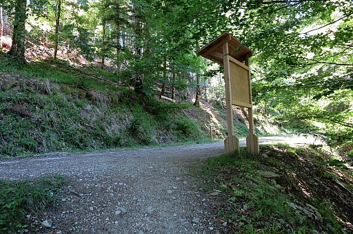
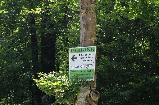 | from that parking, there is a new touristic trail |
 | |
 | leading nicely through the forest to bm331 |
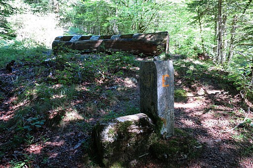
 | with this bifurcation from which the branches melt together again later on. If you take the left one |
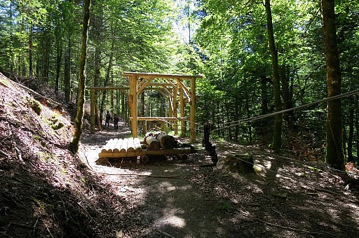 | you will pass this replica of how in the old forestry days, logs were transferred with a cable system. |
 | Approaching the spot of bm231 |
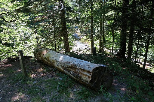 | behind this log. |
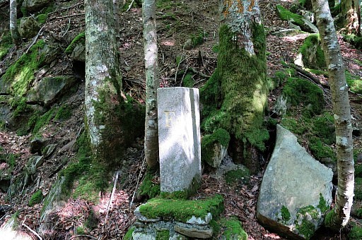
 | Bm231 |
 | Bm231 |
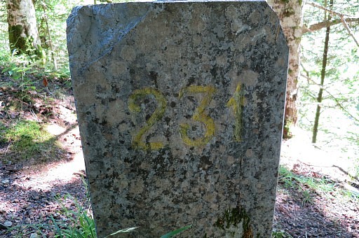 | Bm231 |
 | Bm231 |
 | Bm231 |
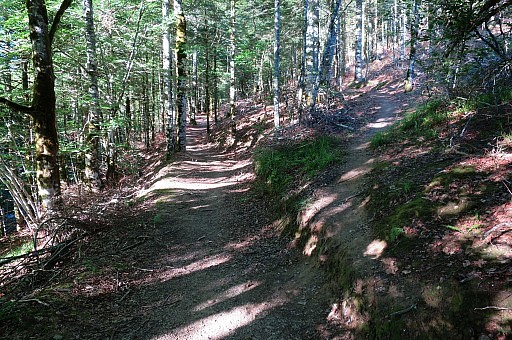
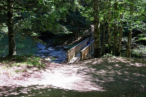 | I keep following the trail-waymarks. There is now a footbridge built and the trail |
 | brings you easy uphill to the forest road. |
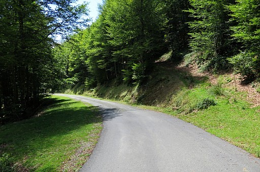
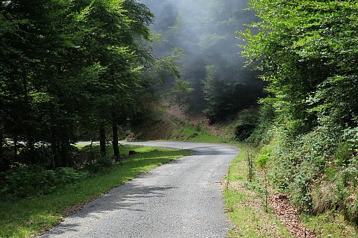
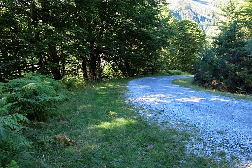
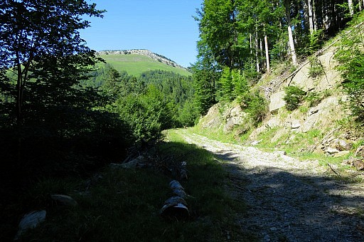 | Turn left and follow the forest road in its windings |
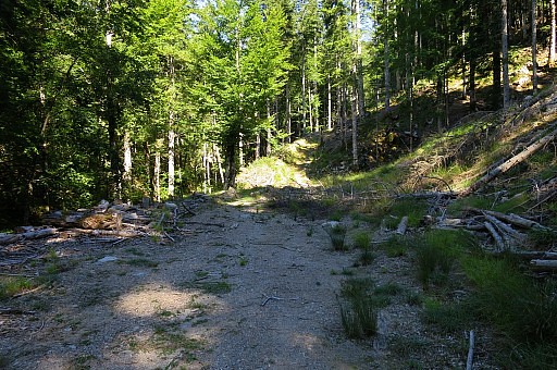 | until - after 2,5 km - there is this end of it. |
 | In fact it continues uphill in a rough form but this is the spot where you have to leave the forest road |
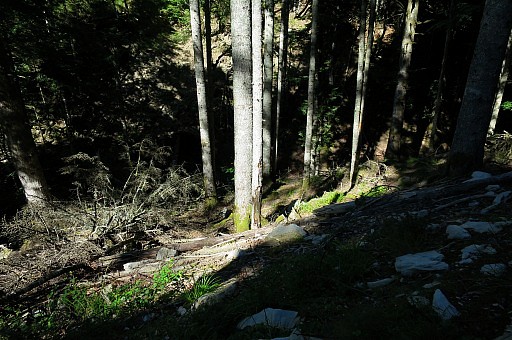 | towards bm232 which is then about 100 meters away to the E along the stream (now dry) at your left hand. |
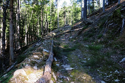
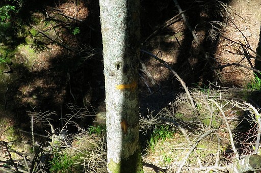 | There are traces of a trail and some yellow waymarks at the the trees but not like on 20090531 |
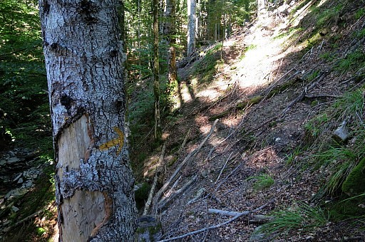 | Vague traces of a trail. |
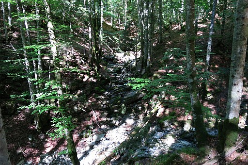
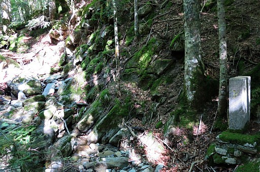
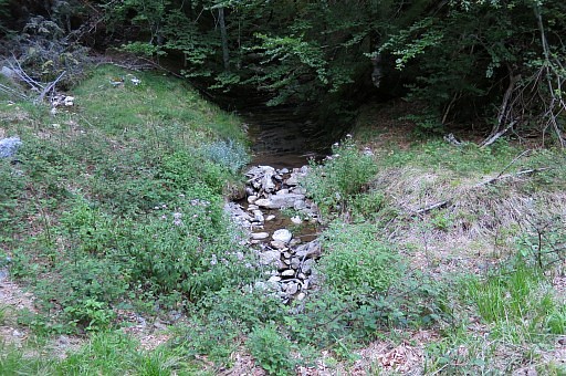
 | Be attentive not to miss bm232. This picture: I have followed the main streambed a bit too far. |
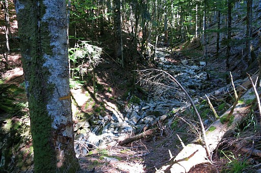
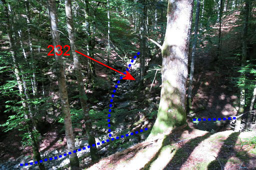 | The
bm stands at the confluence of a side stream (also dry now, which
becomes the borderline to bm233) and the streambed I have been
following. |
 | Another view of that sidestream(bed) |
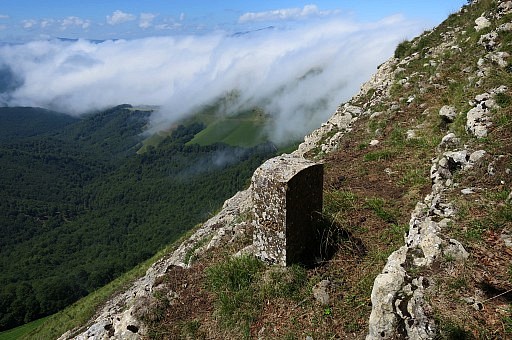
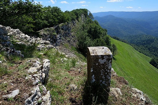
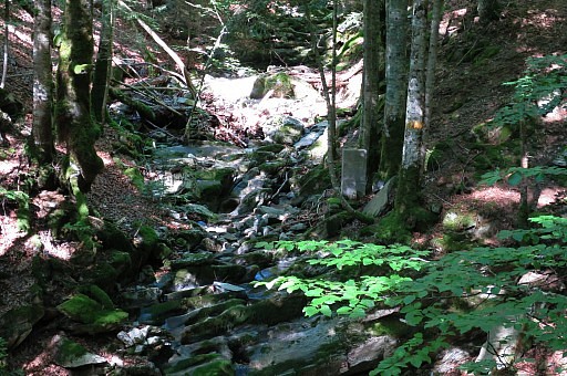 | Close-up with bm232 |
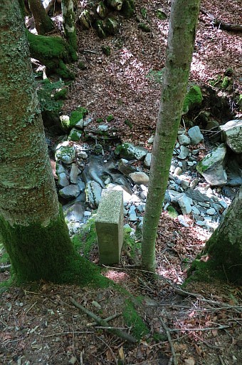 | Bm232 |
 | Bm232 |
 | Bm232 |
 | Bm232 |
 | Bm232 |
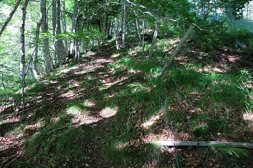 | From
bm232 I go about 20m upstream (borderstream) and then climb in
NE-direction along a hill-ridge. There are remains of a fence and also
traces of a trail. |
 | Proceeding to the road is in fact easy. |
 | Once at the road it's several km back on the winding road with this source/stream in between. |
 | Almost back at the parking spot. I want to check the already "old" descent to bm231 |
 | which merges downhill with the new touristic trail. |
 | The new trail is a lot nicer and means hardly or no more distance. I could even divert the main route to pass along bm231 and then climb to the dirt road. This picture: the log with behind it bm231. |
 | I
return on the new trail. This is the bifurcation on the other side. To
the right is to the replica of the forestry installation. |
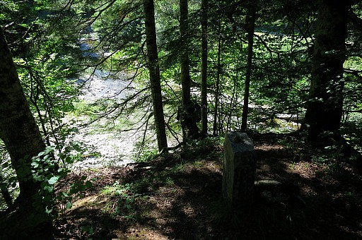
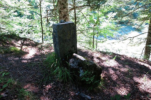
 | Back at the dirtroad I spot this monument |
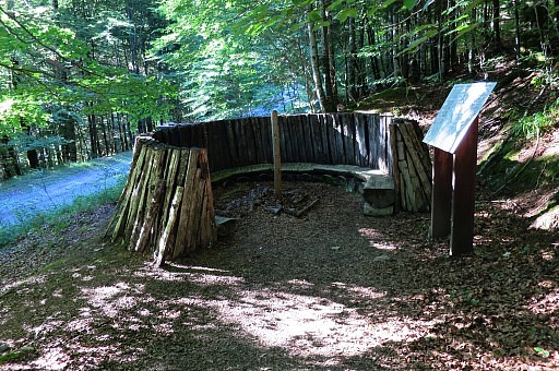 | remembering the |
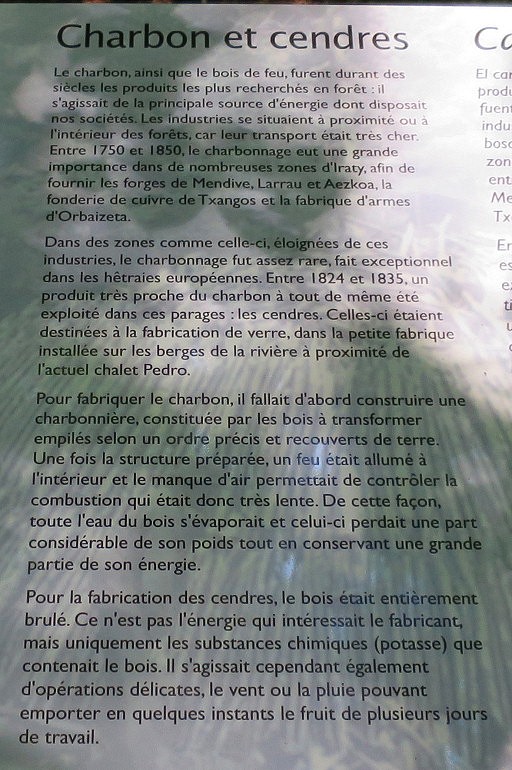 | charcoal-furnaces in the 19th century. |
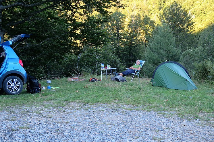 At 8pm back at the car. I
already decided to try a 'wild camp' at this spot. Once installed, two
forest rangers appear in a car but they drive away with no comment.
This is wild camping 2.0: with chair, table, mug of wine, laptop, car.
The only thing I miss is wifi and an electric socket.
And while the darkness covers the place, the silence sets in. The cow-bells starve and only the sound of the stream and sometimes a wood owl can be heard. Magical. | |