|
The
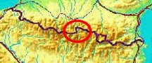
bordermarkers of the Pyrenees : all my trips
 |
|
| -
saturday 2 june
2018 - Bm155-173 revisited + meeting with Oier Gil |
 |
 |
Summary:
part of 6 day-trips in
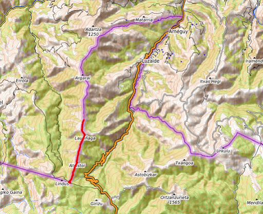
the Pyrenees, near Bagnères-de-Luchon and in the Basque country, together with Jan-Willem Doomen Today: a short trip from Col de Lindus to do bm155 to 162, part of the project to visit every bordermarker at least twice. Basecamp: the camping municipal in Saint-Étiènne- de-Baïgorry. Weather: sunny |
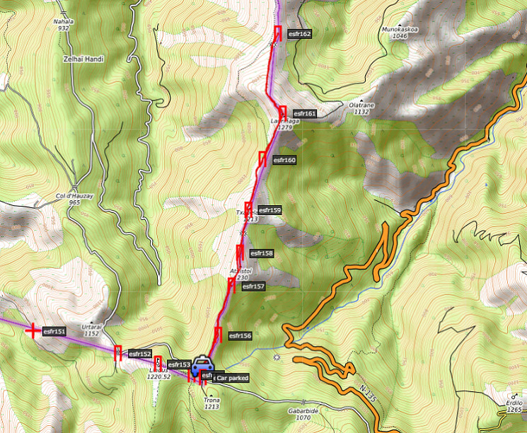 track-20180602.kml
(click to open this trip in Google Earth or copy link to Google Maps; click right on this link to download gpx-version). The gps-track has not been manually corrected which explains the inaccuracy and misalignment at some points. For cartographic backgrounds: see the cartography-page Gps-waypoints of all bordermarkers (most recent version): kml: esfr-bordermarkers-all-waypoints.kml gpx: esfr-bordermarkers-all-waypoints.gpx |
|
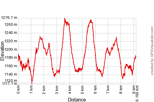 |
According to Google Earth:
8,8km, max-height 1254m, min-height 1128m, elevation: +502m -503m Start 10:24 Finish 13:55 |
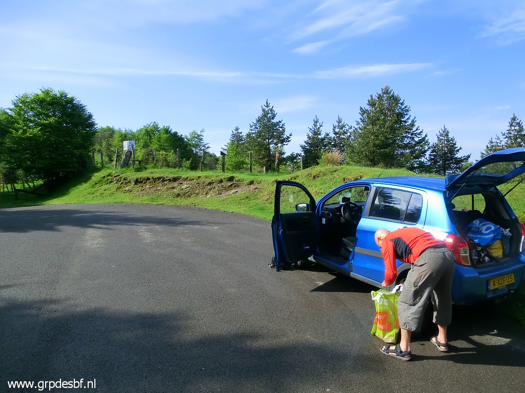 |
Starting point: Col de
Lindus, access by a narrow road from Puerto de Ibaneta in Spain. (click photo to enlarge) |
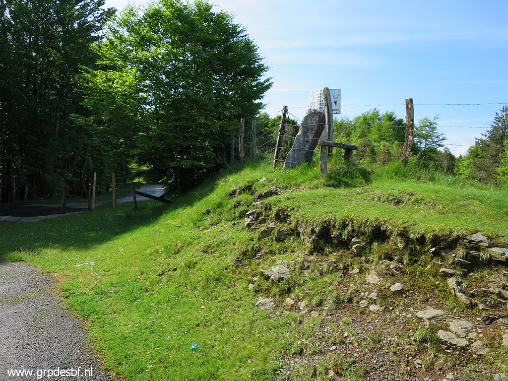 |
Bm155 (click photo to enlarge) |
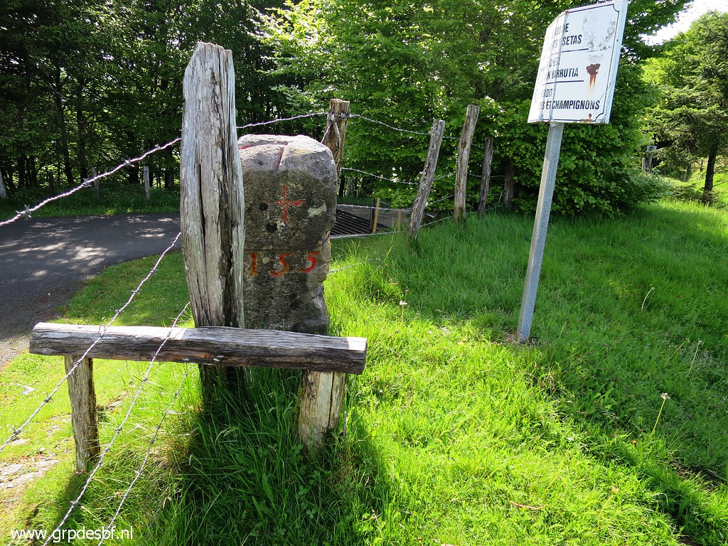 |
Bm155 (click photo to enlarge) |
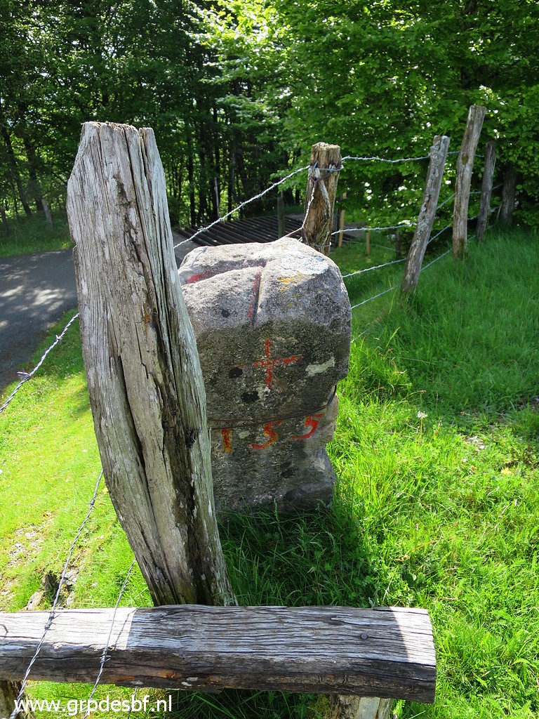 |
Bm155, note the groove at
it's top, indicating the sharp bend in the borderline. (click photo to enlarge) |
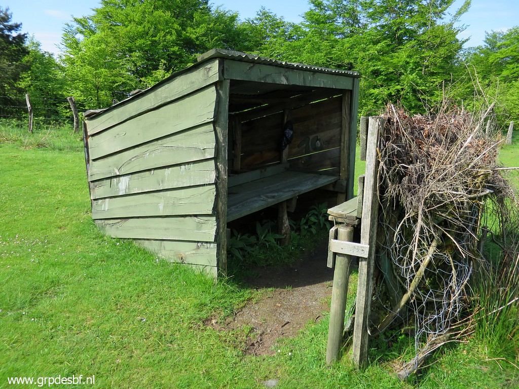 |
Nearby this hunter's
shelter (click photo to enlarge) |
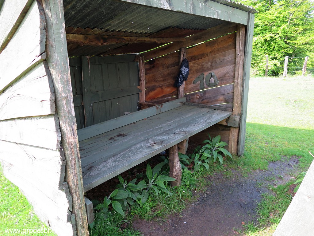 |
which might very well
serve as your high & dry sleeping spot. (click photo to enlarge) |
 |
Bm156 We find on this long borderridge between bm155 and 196 different types of markers. This one seems a concrete successor of the original ones. There's no number engraving, sometimes we see the number painted. But at bm159 (further on) we will see that probably it's an original masonry marker, covered under a smooth concrete layer. (click photo to enlarge) |
 |
Bm156 (click photo to enlarge) |
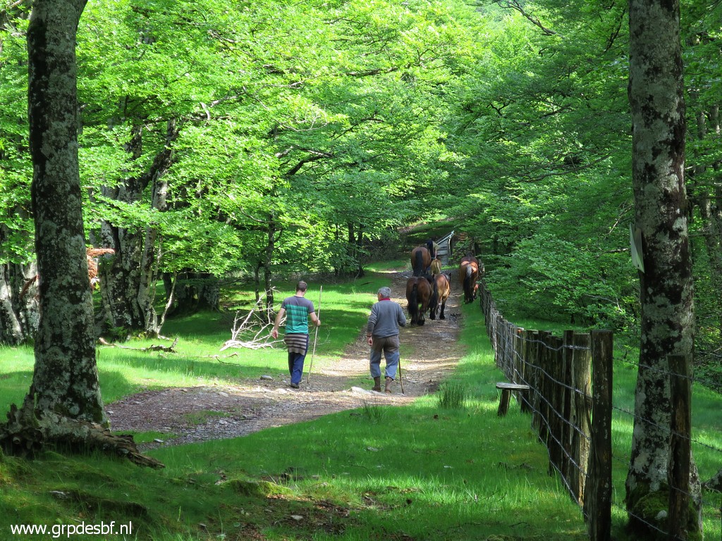 |
We witness how horses are
being unloaded from a truck and guided to their summer fields. (click photo to enlarge) |
 |
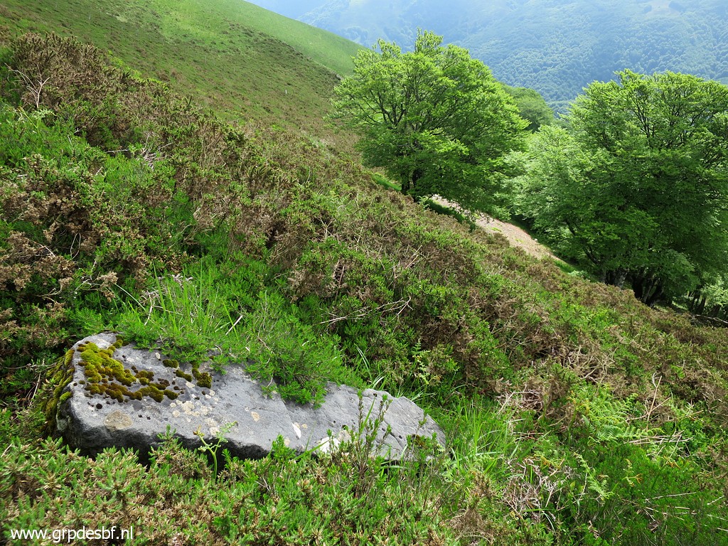
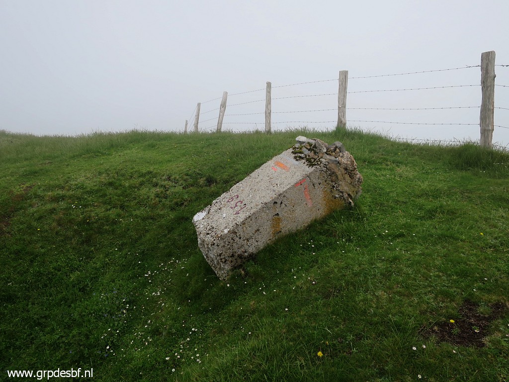
Bm157 has fallen down the
ridge and in earlier visits it required intensive searching to find
it. Now - with the coordinates on my gps - it's easy. (click photo to enlarge) |
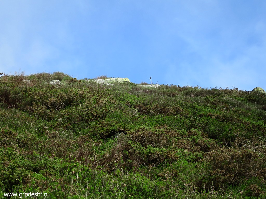 |
Looking back at the ridge
with a few rocks just beneath the ridge. (click photo to enlarge) |
 |
Bm157 (click photo to enlarge) |
 |
Bm157, the number engraved (click photo to enlarge) |
 |
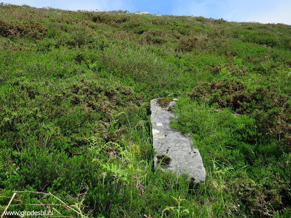
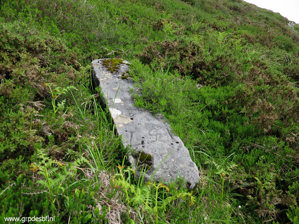
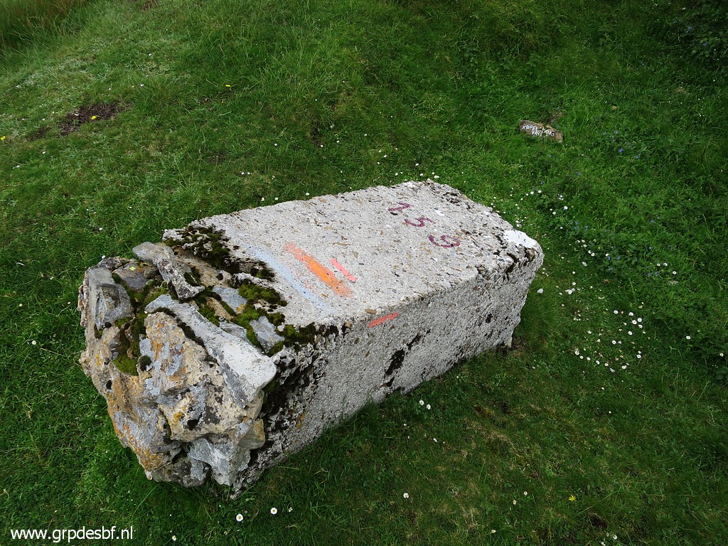
Bm157 What strikes: it's a solid stone in stead of the masonry or concrete ones on this ridge. Is this perhaps a really original one? (click photo to enlarge) |
 |
Bm157 (click photo to enlarge) |
 |
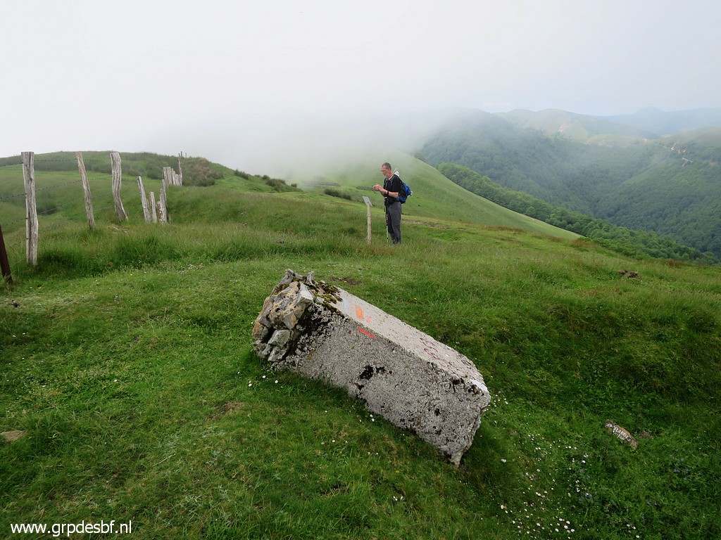
Bm157: more of less the
original location of the marker. (click photo to enlarge) |
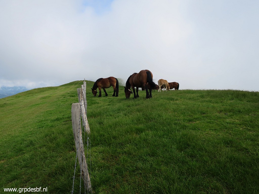 |
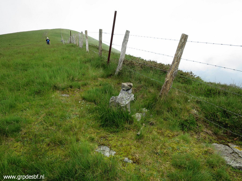
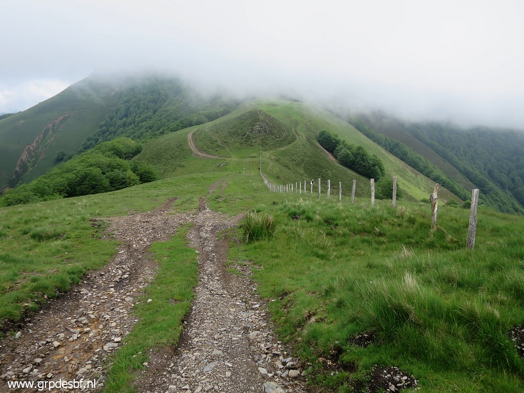
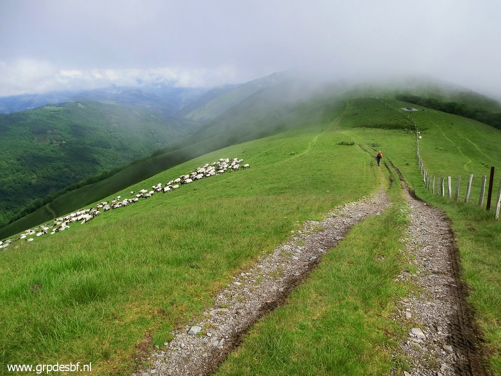
Continuing along the fence
which is the border, wayfinding can't be easier. This picture: the horses have arrived in their field. (click photo to enlarge) |
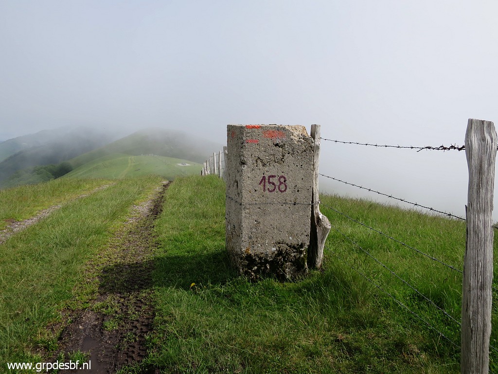 |
Bm158 (click photo to enlarge) |
 |
Bm158 (click photo to enlarge) |
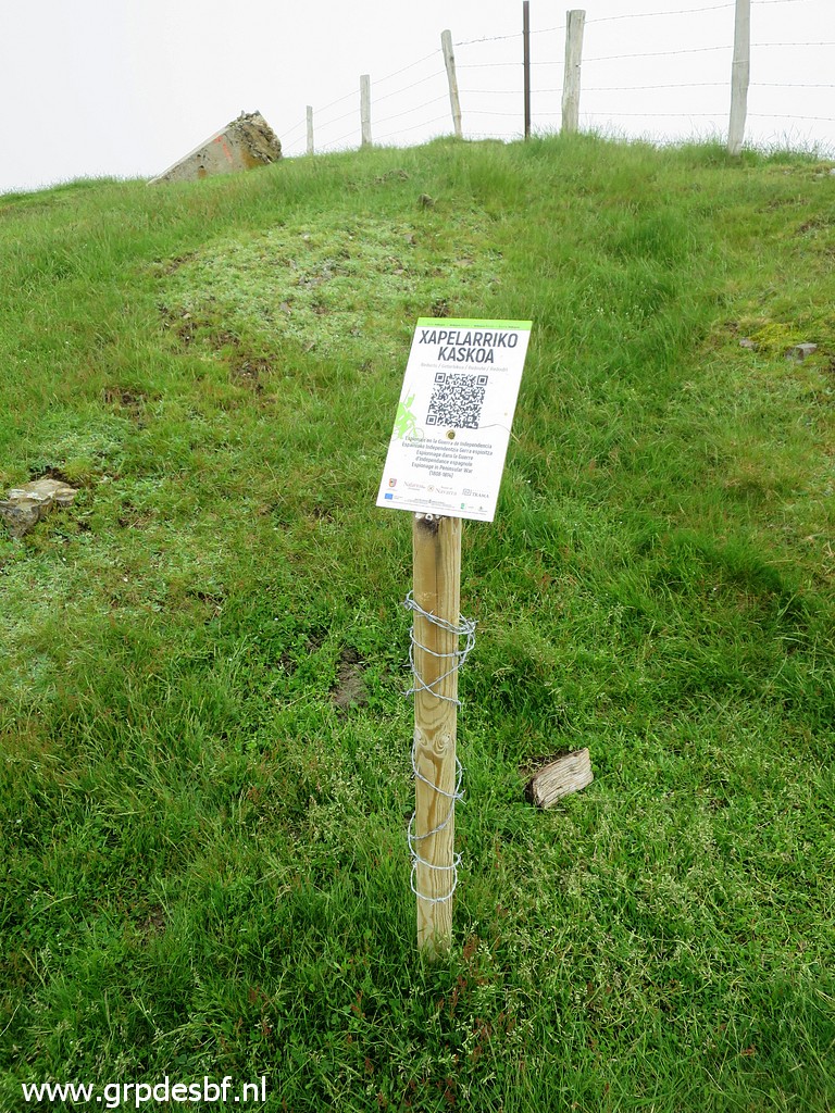 |
Bm159 in the background
with this information post closeby. (click photo to enlarge) |
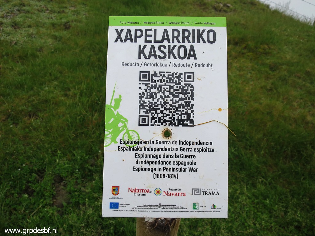 |
It's a QR-link to a webpage about the "Espionage in the peninsular war
1808-1814. (click photo to enlarge) |
 |
Bm159 (click photo to enlarge) |
 |
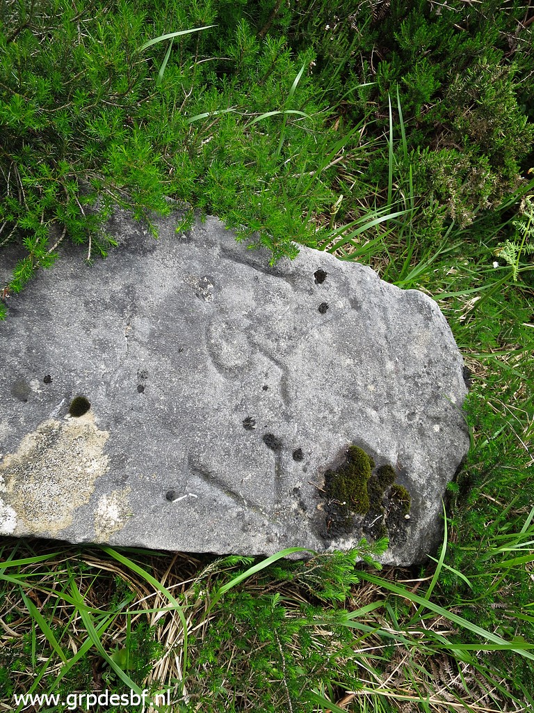
Bm159 We can see more clearly now that it seems that the original masonry marker has been covered completely by a concrete layer. (click photo to enlarge) |
 |
Bm159 (click photo to enlarge) |
 |
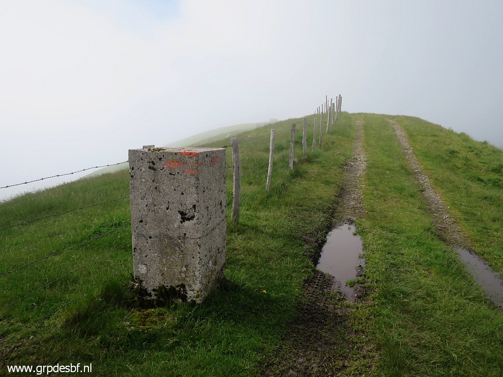
Continuing along the fence. (click photo to enlarge) |
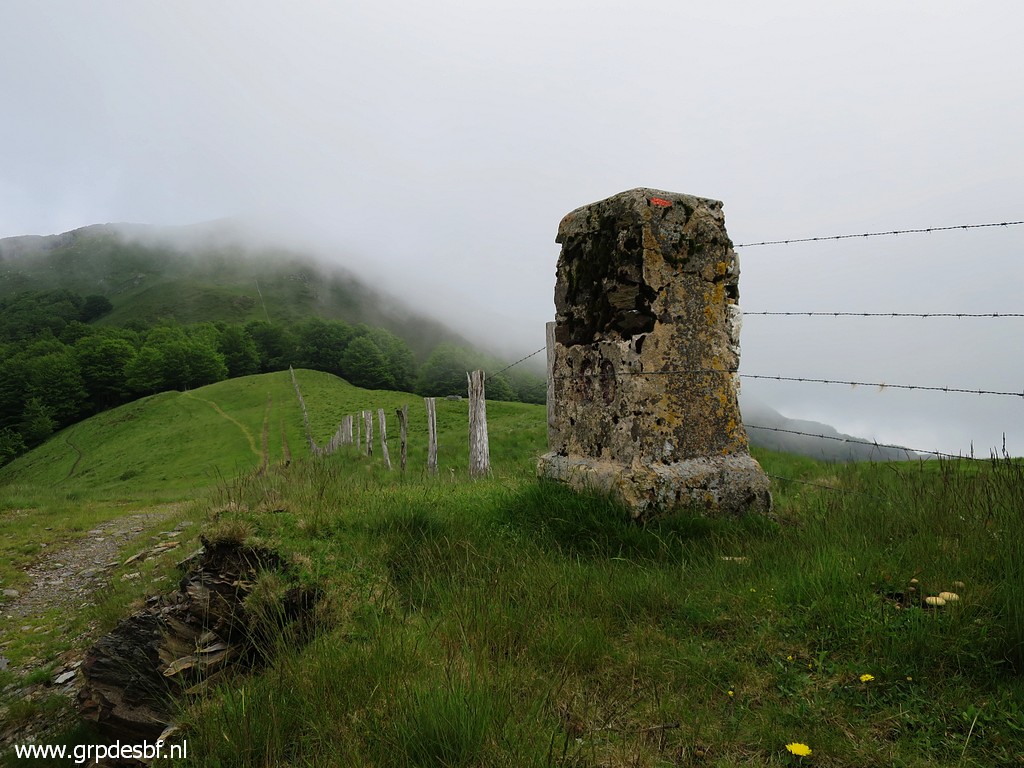 |
Bm160 (click photo to enlarge) |
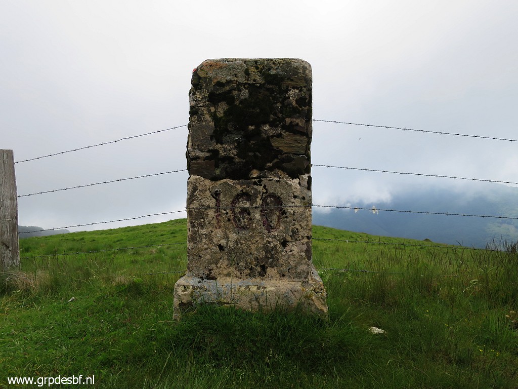 |
Bm160 (click photo to enlarge) |
 |
Bm160 (click photo to enlarge) |
 |
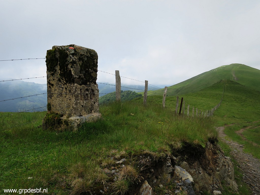
Continuing (click photo to enlarge) |
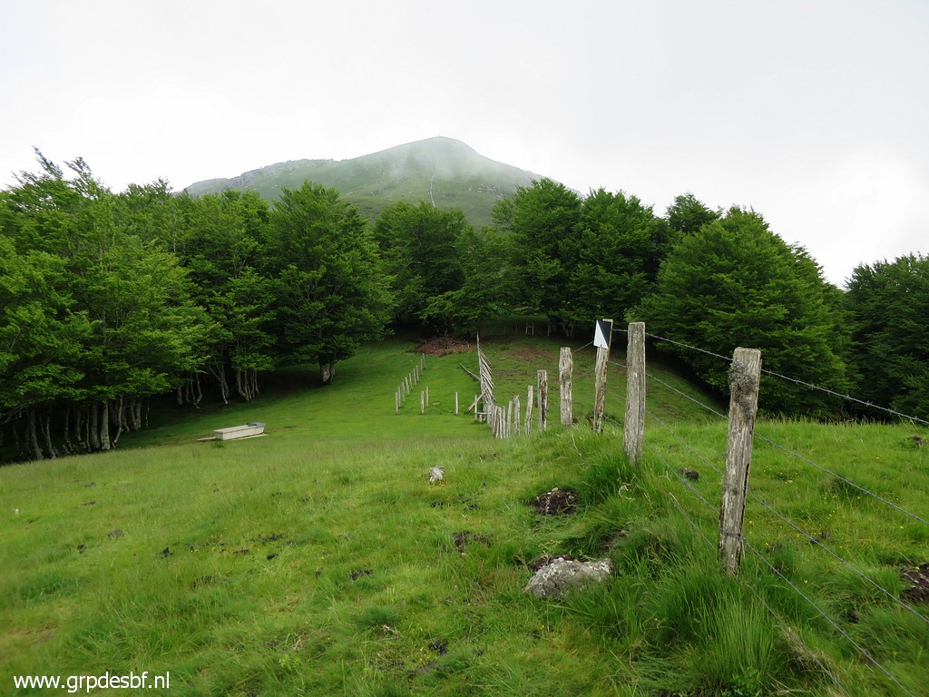 |
and passing a forest strip (click photo to enlarge) |
 |
to climb to bm161 (click photo to enlarge) |
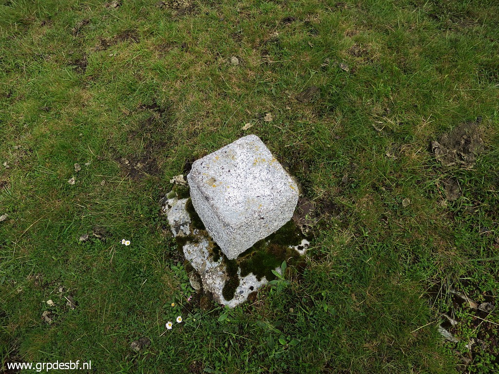 |
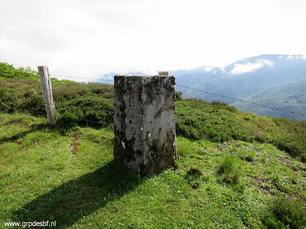
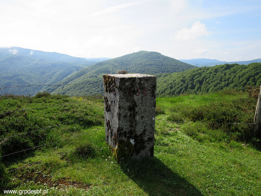
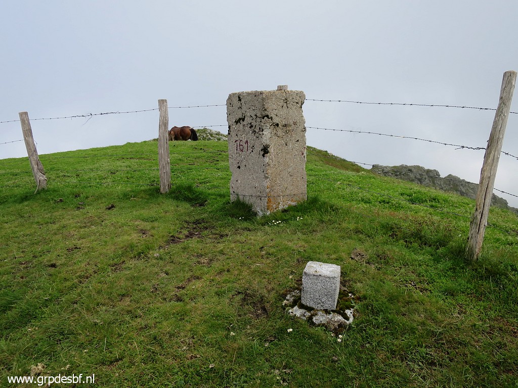
Some geodetical marker. (click photo to enlarge) |
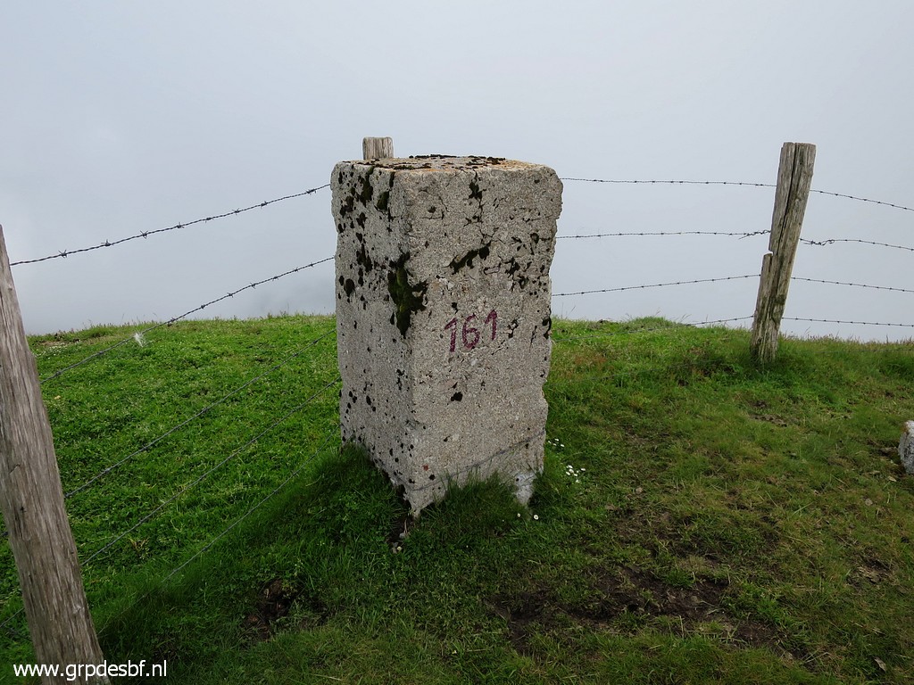 |
Bm161 (click photo to enlarge) |
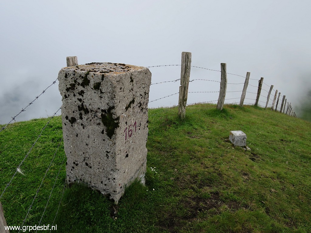 |
Bm161 (click photo to enlarge) |
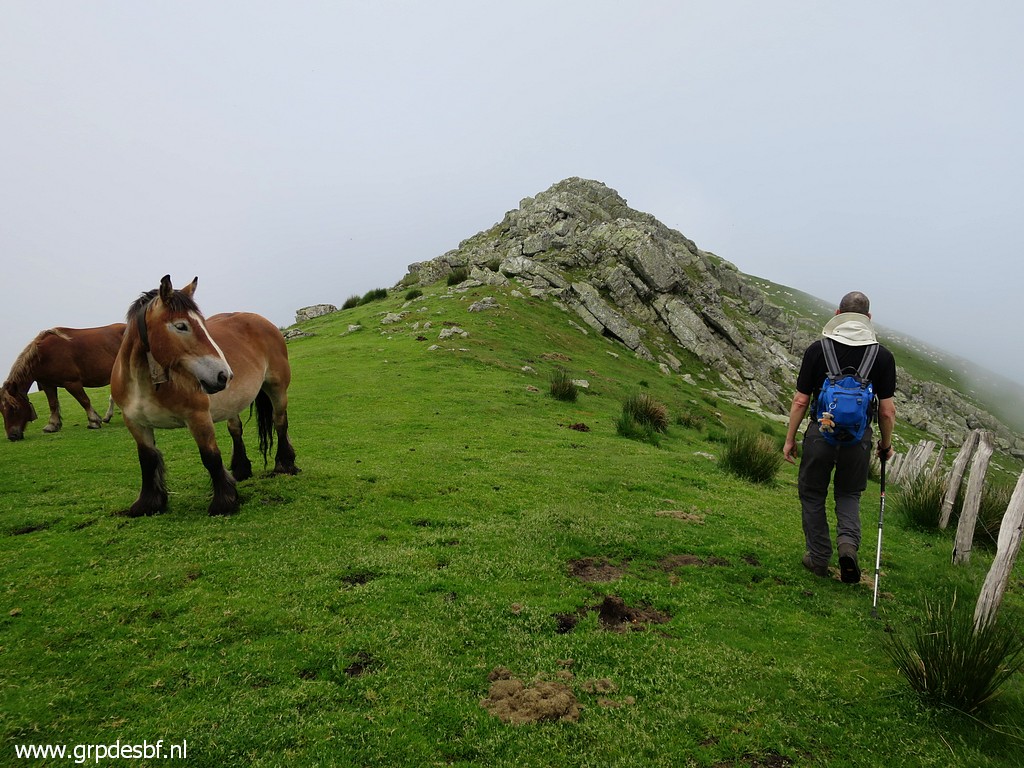 |
And then passing a rocky
outcrop, best done at the western side of it (click photo to enlarge) |
 |
to reach bm162 (click photo to enlarge) |
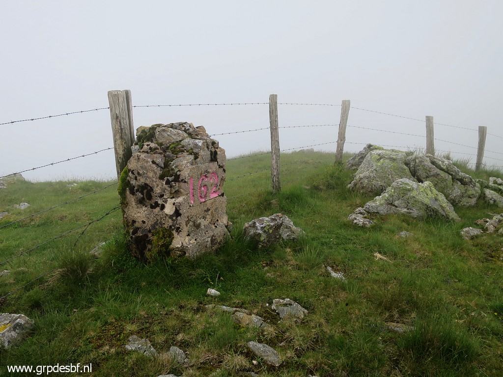 |
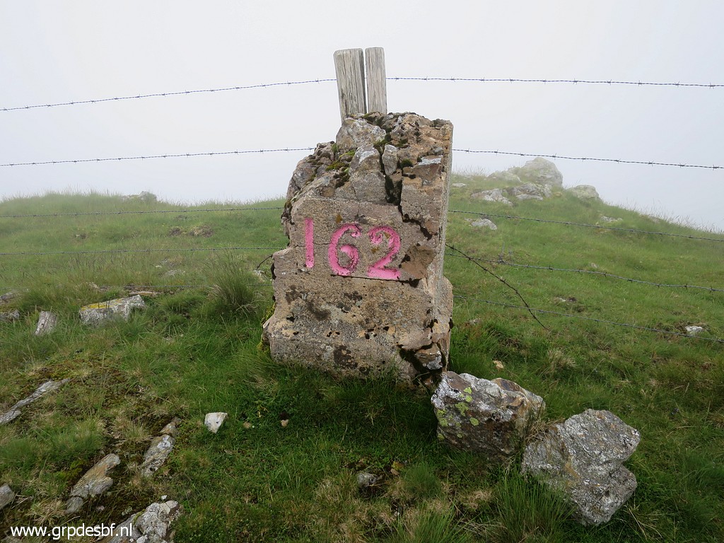
Bm162 (click photo to enlarge) |
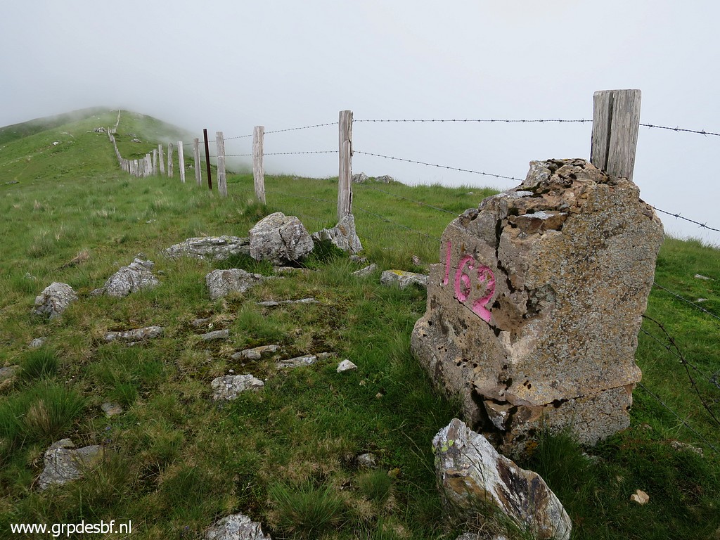 |
Bm162 Enough for now, we have to return because of an appointment with Oier Gil in the afternoon. (click photo to enlarge) |
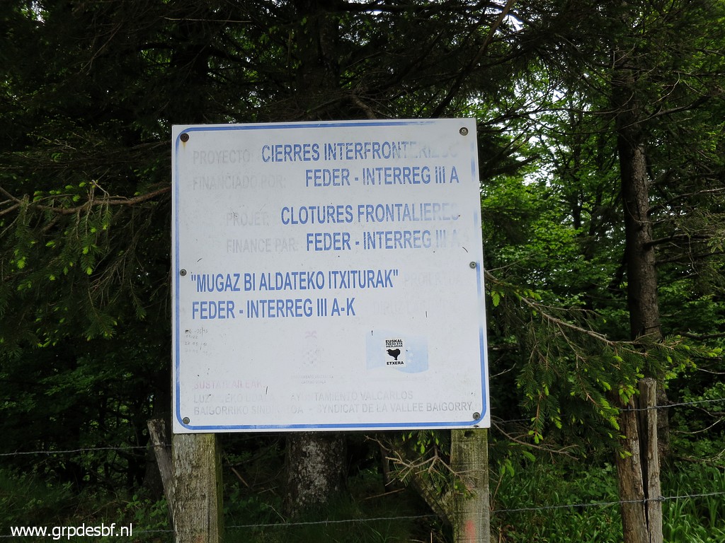 |
Back at Col de Lindus. I remember this information billboard from 2009. (click photo to enlarge) |
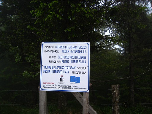 |
Photo from 20090525: it was an EU
sponsored project: making or enhancing the borderfence. |
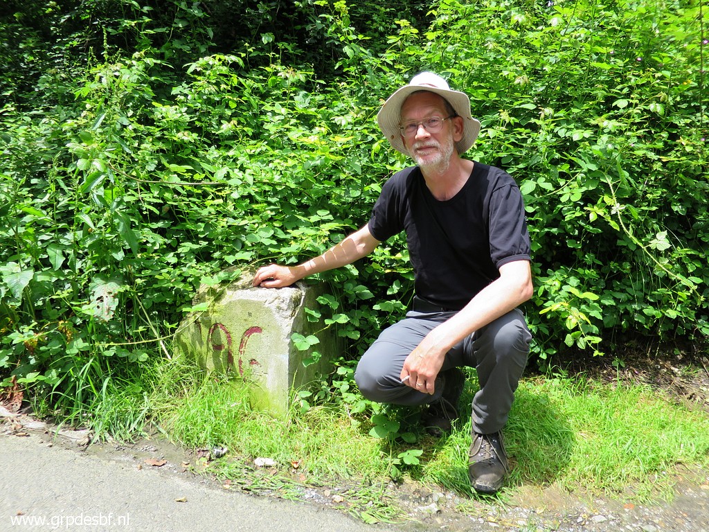 |
We drive back and go to the
venta-complex of Arnéguy where bm196 can be found. Jan-Willem gladly poses with due pride because he was the one who first stroke with his pickaxe the buried bm196 on 31 may 2013 . In 2014 it has been lifted half-way above the ground. See this page for more information. (click photo to enlarge) |
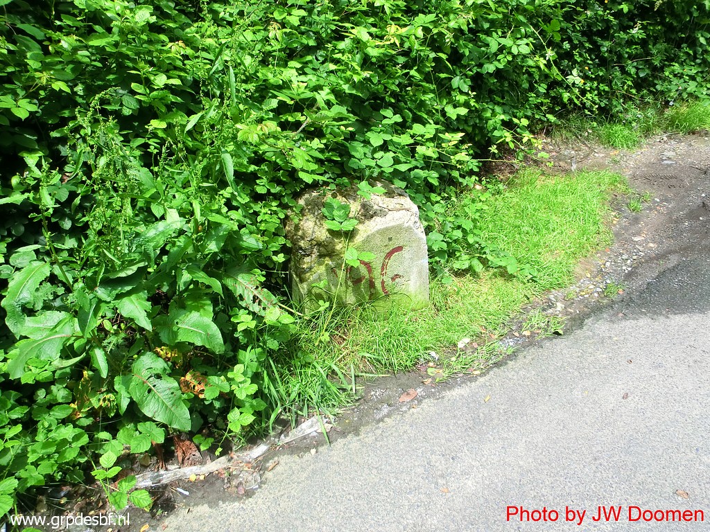 |
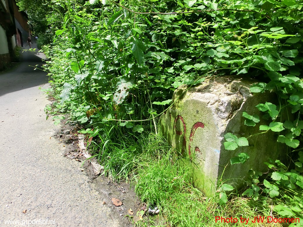
Bm196 It's getting overgrown. (click photo to enlarge) |
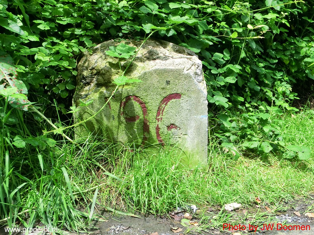 |
Bm196 (click photo to enlarge) |
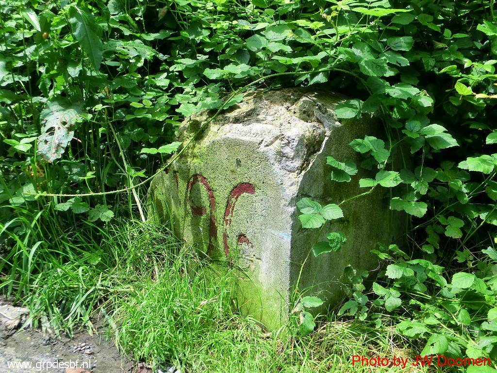 |
Bm196 (click photo to enlarge) |
 |
Bm196 (click photo to enlarge) |
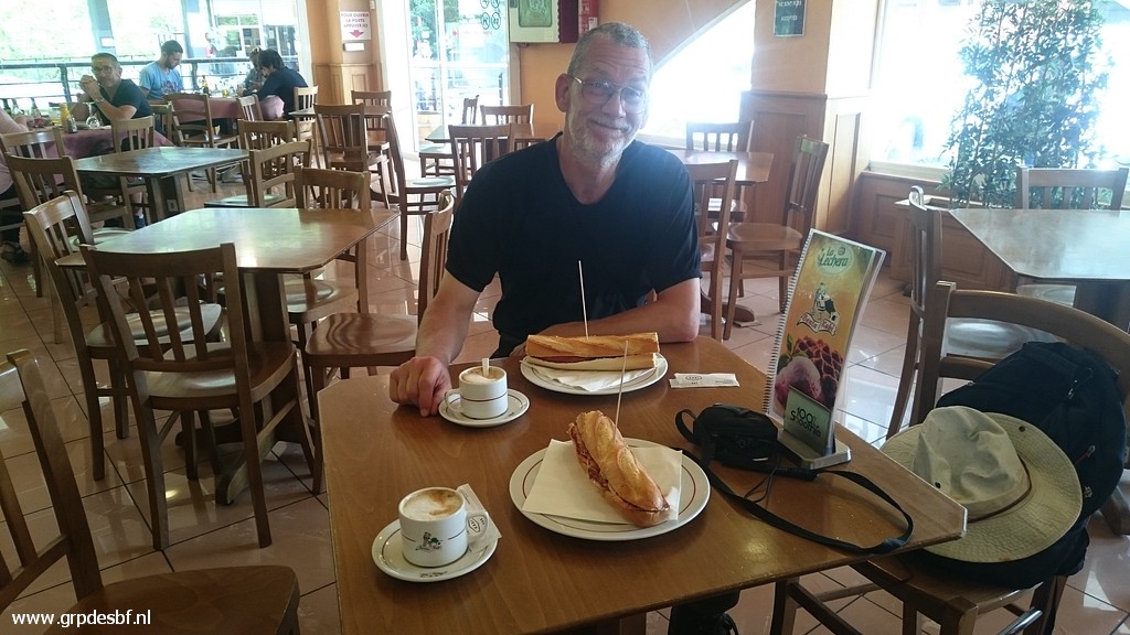 |
Then a lunch: bocadillos with hot sausage, how content Jan-Willem can smile. (click photo to enlarge) |
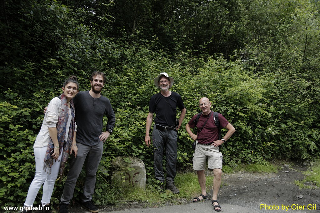 |
We have an appointment with Oier Gil and his girlfriend Judith Sanchez. Oier is an artist from Irún with a special interest in borders wich has resulted in several art projects. Read more about him and his work in this blogpost. We had a very pleasant and interesting meeting. (click photo to enlarge) |