|
The
bordermarkers of the Pyrenees : all my trips
 |
|
| -
saturday 12 june
2021 - Redoing bm407-408IV with Carlos & Conchita Roca |
 |
 |
Summary:
part of a series of 8 daytrips in june 2021 near Bagnères-de-Luchon and
Col de Somport. This is day 3. Today: guiding Carlos & Conchita along bm407-408IV Weather: sunny, warm Basecamp: camping Les Myrtilles in the village of Moustajon This trip on the website of Carlos & Conchita Roca: see this page |
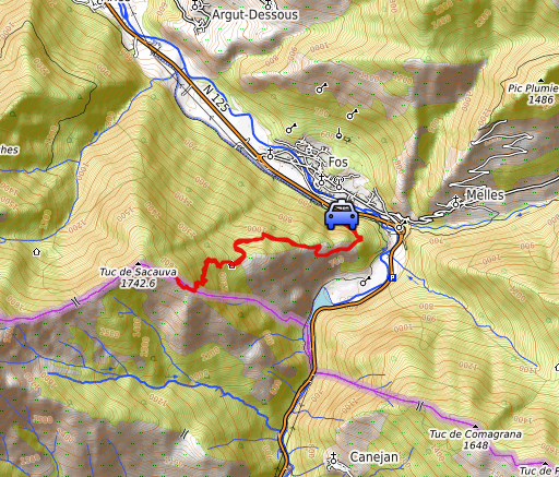
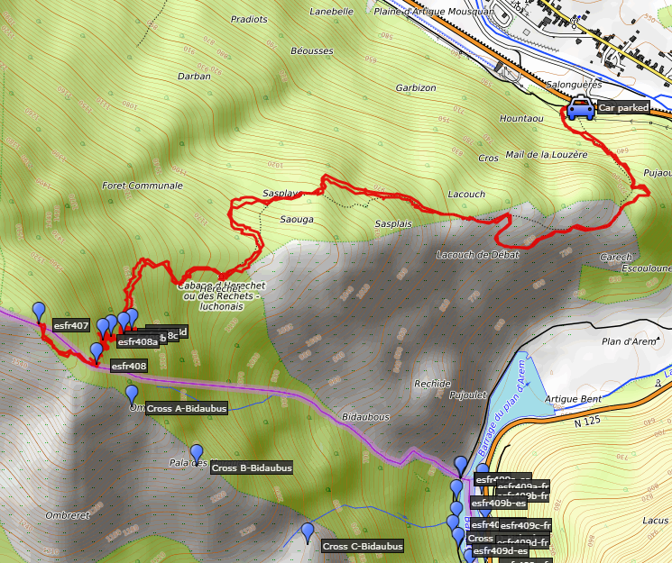 track-20210612.kml
(click to open this trip in Google Earth or copy link to Google Maps; click right on this link to download gpx-version). The gps-track has not been manually corrected which explains the inaccuracy and misalignment at some points. For cartographic backgrounds: see the cartography-page Gps-waypoints of all bordermarkers (most recent version): kml: esfr-bordermarkers-all-waypoints.kml gpx: esfr-bordermarkers-all-waypoints.gpx (with elevation added by gpsvisualizer.com) |
|
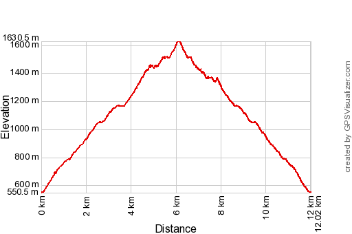 |
According to Garmin
Basecamp (uncorrected original track): Distance: 16,8 km Max-height: 1631m Min-height: 511m Elevation: +1108m -1099m Total elevation: 2207m Start 8:12 Finish 17:15 Total time: 9:02 |
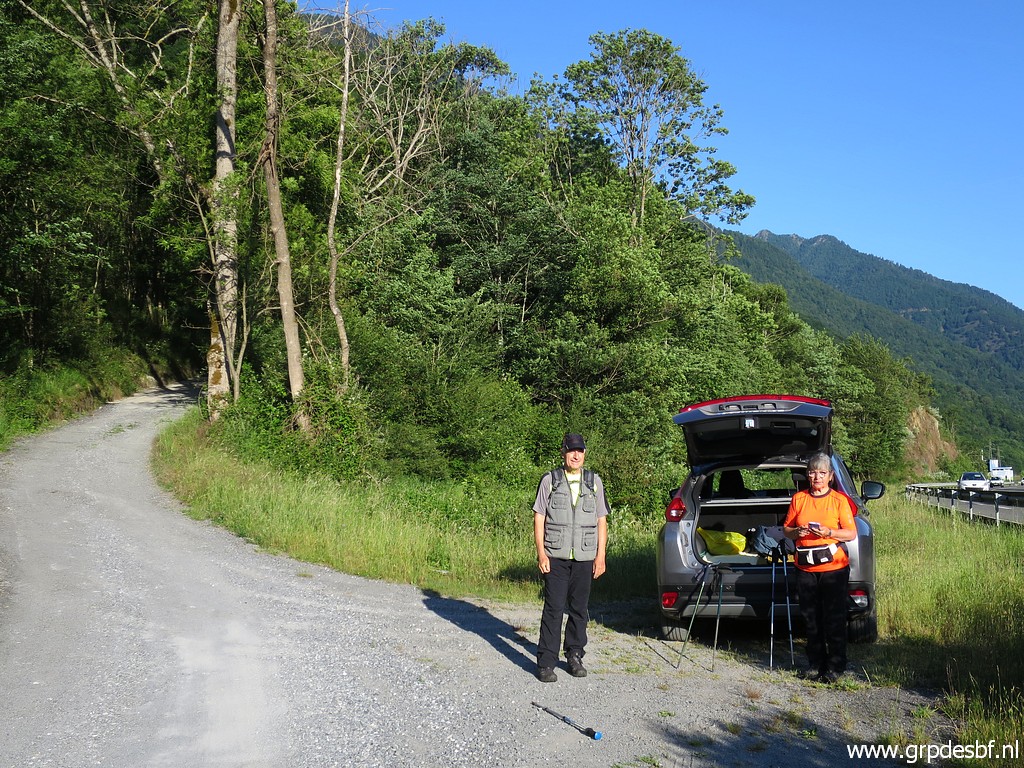 | After a breakfast together, we drive to Fos. Parking and preparing. (click photo to enlarge) |
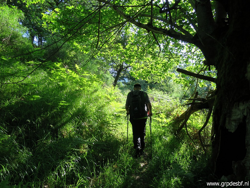
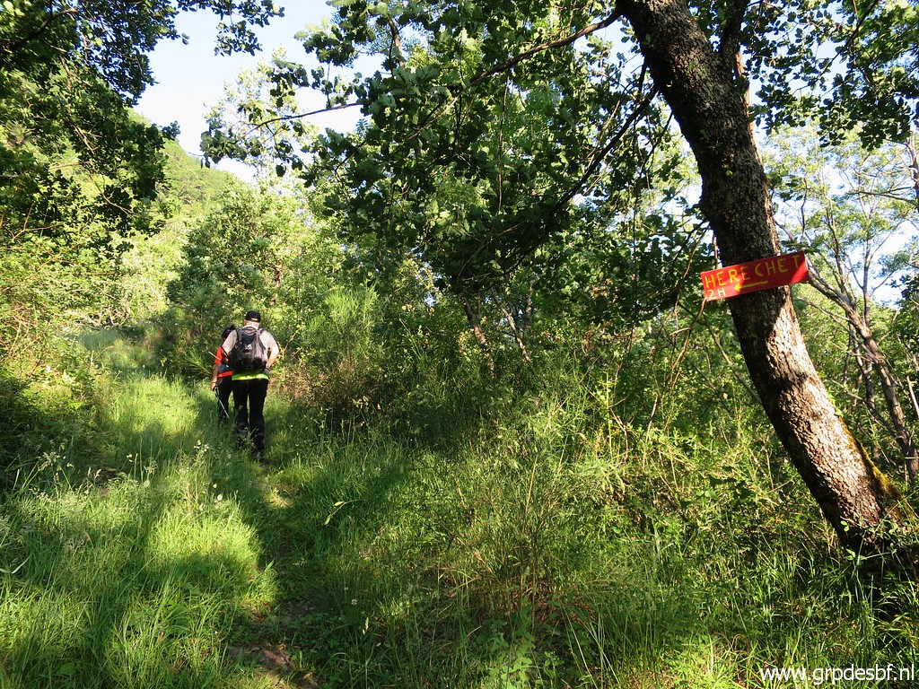 | We enter the forest on our way to Cabane d'Herechet or Cabane des Réchets. (click photo to enlarge) |
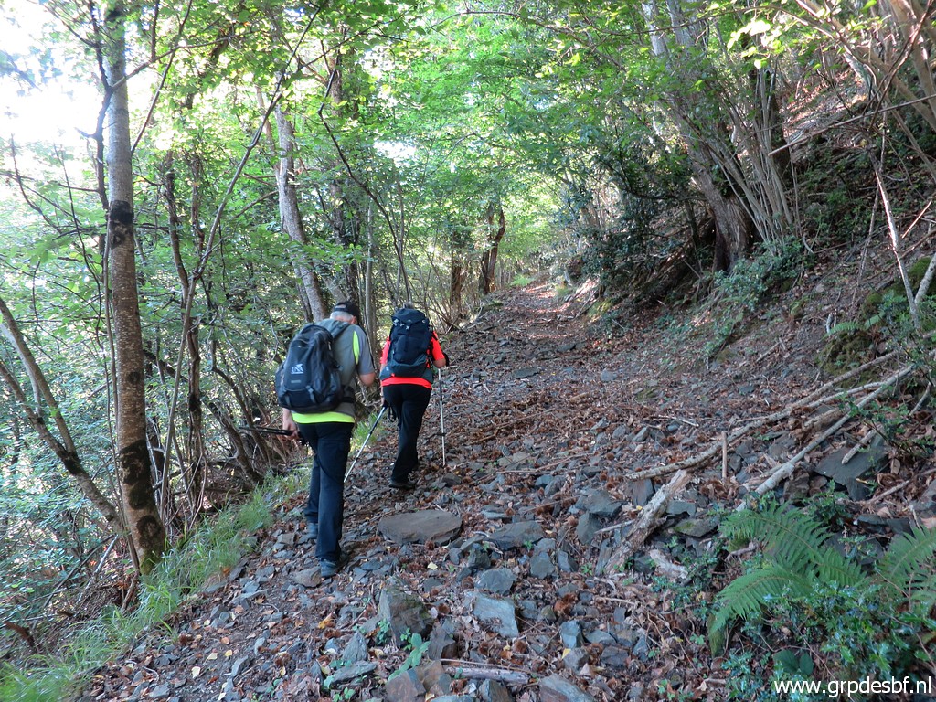 | Climbing along this rocky path (click photo to enlarge) |
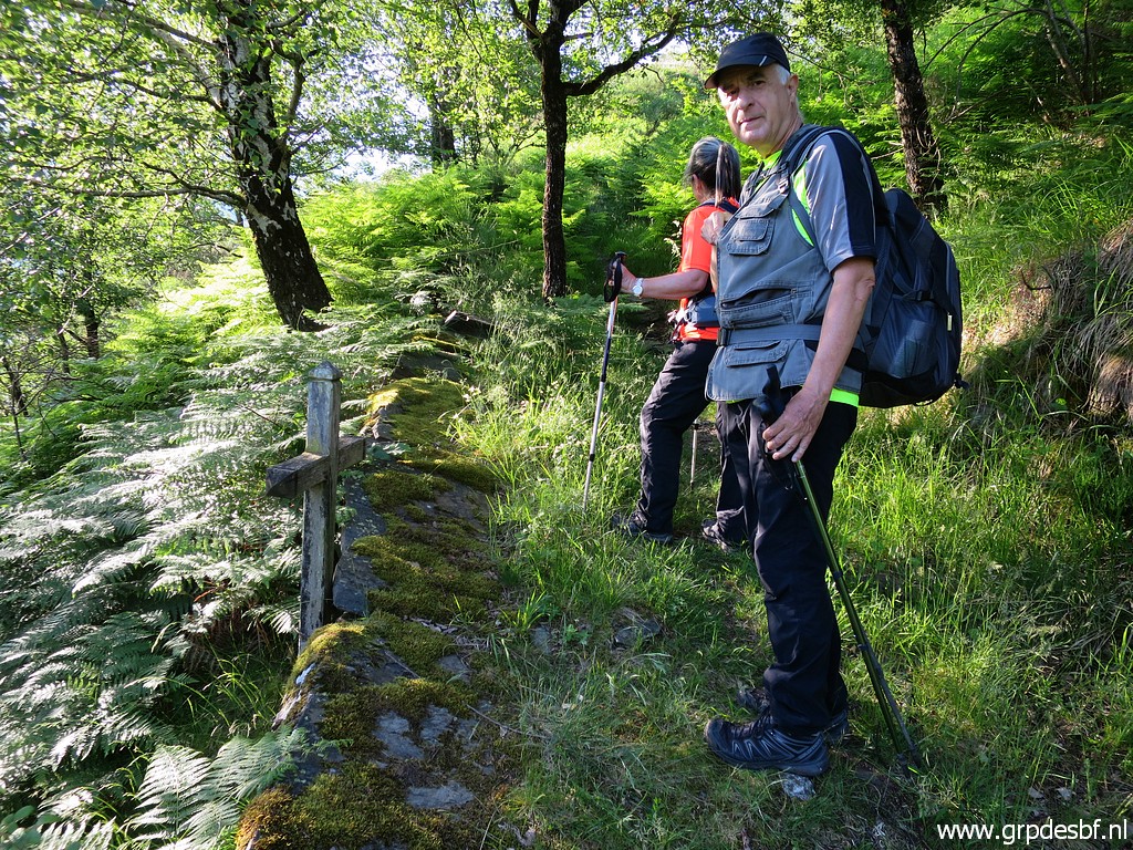 | and passing this wooden cross. Michel Molia told me the story of it. A walker passed by and saw a scarf on the ground, apparently lost by another walker. He tried to hang it on a tree-branch but leaned out too far and lost his equilibrium and fell to his (or her) death. (click photo to enlarge) |
 | View to the barrage (click photo to enlarge) |
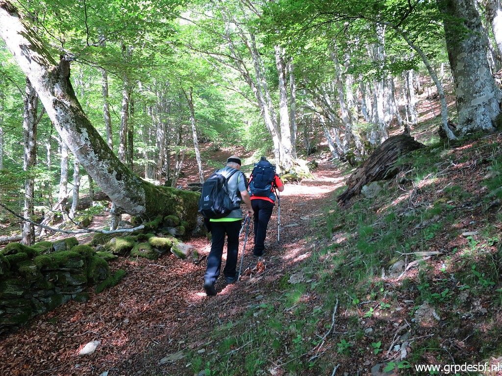
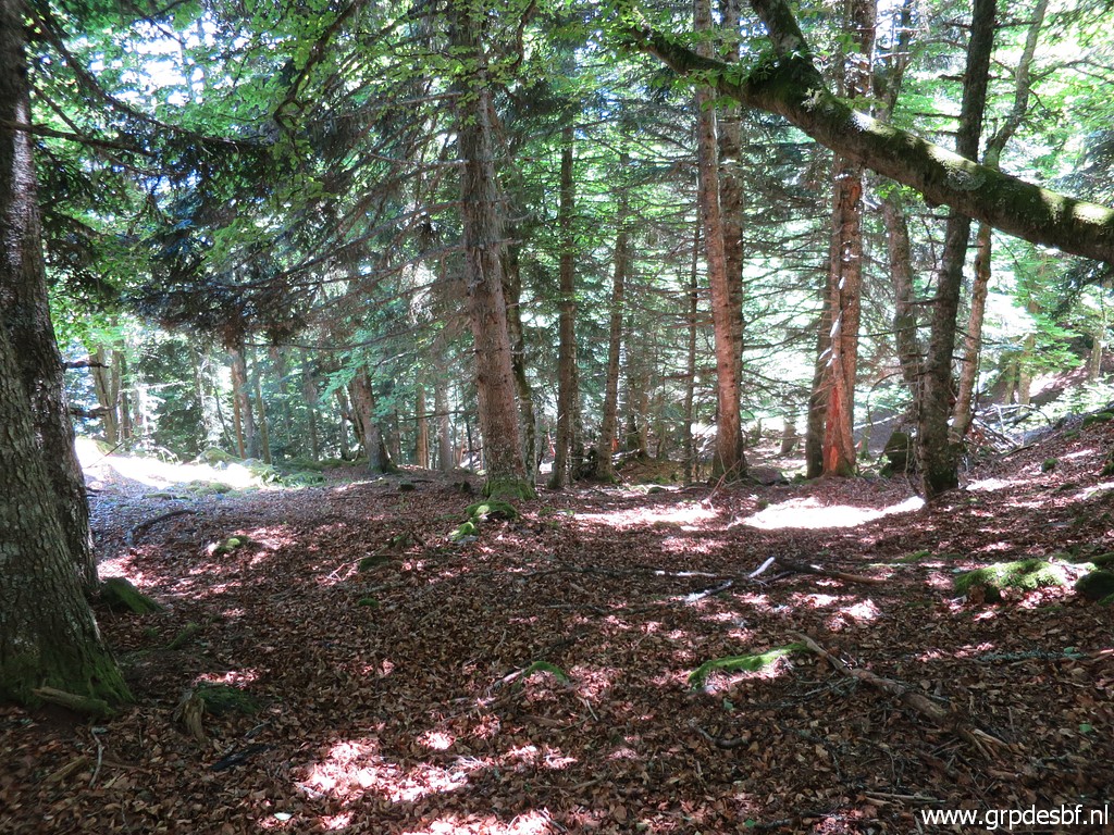
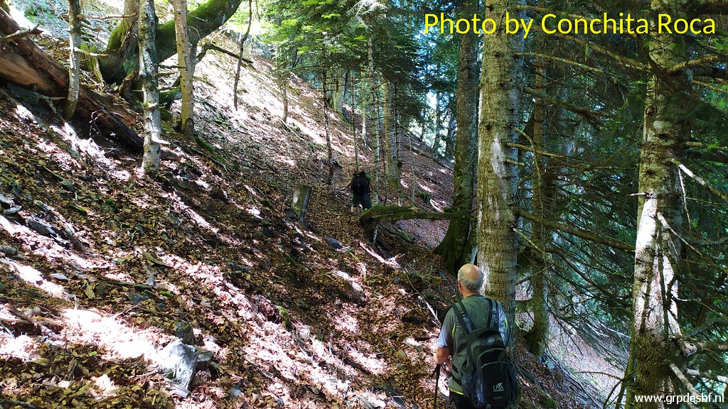
 | Continuing in the forest (click photo to enlarge) |
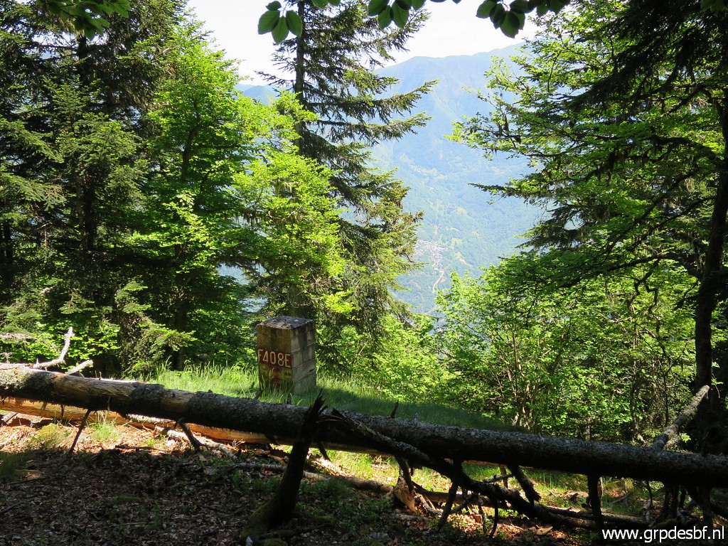
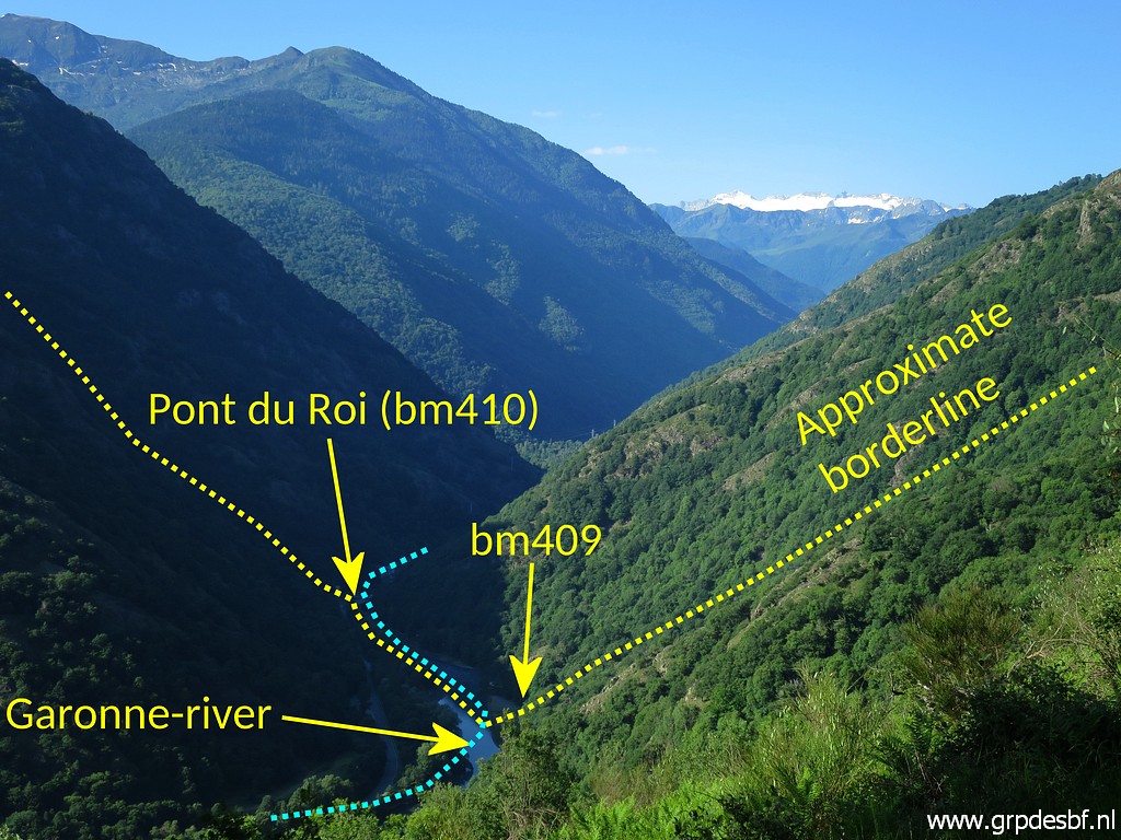 | to another viewpoint with annotations. (click photo to enlarge) |
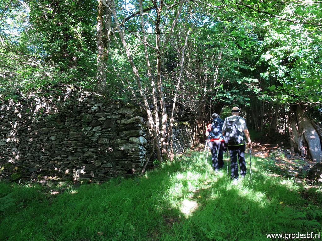 | We pass several ruins (click photo to enlarge) |
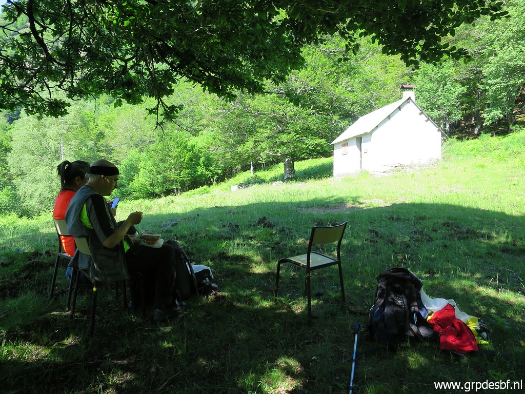
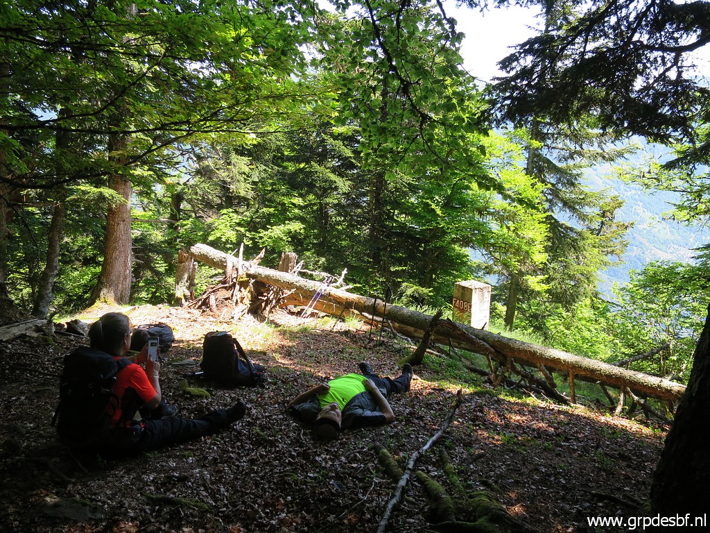
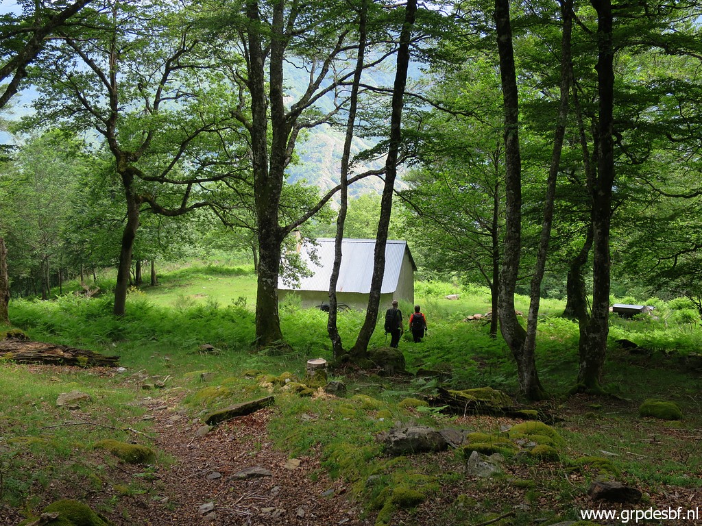
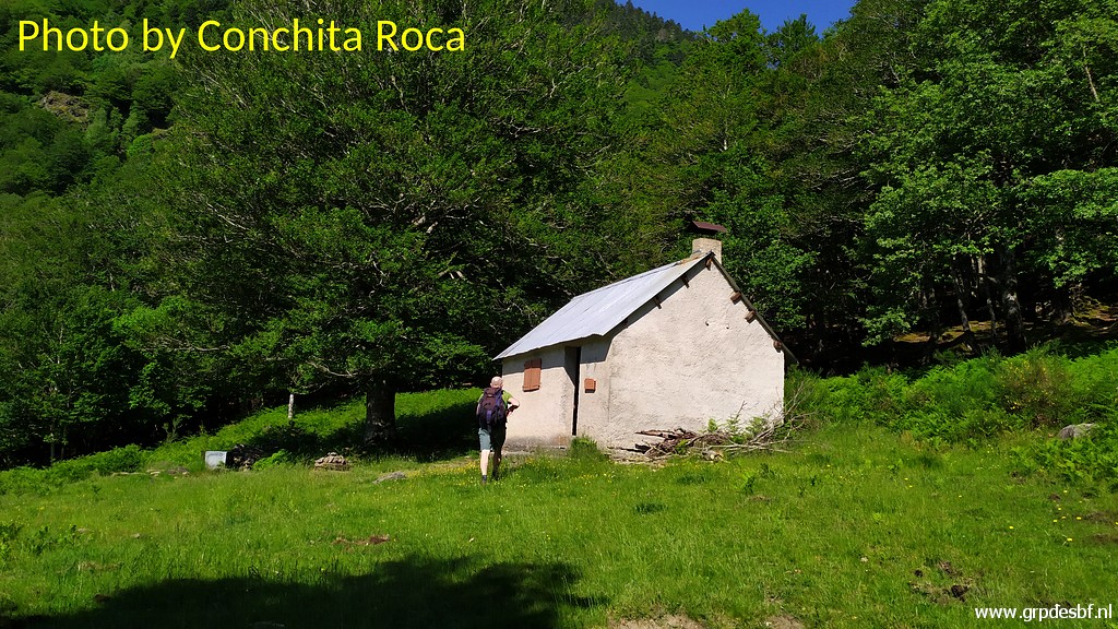 | Finally we arrive at the cabane (click photo to enlarge) |
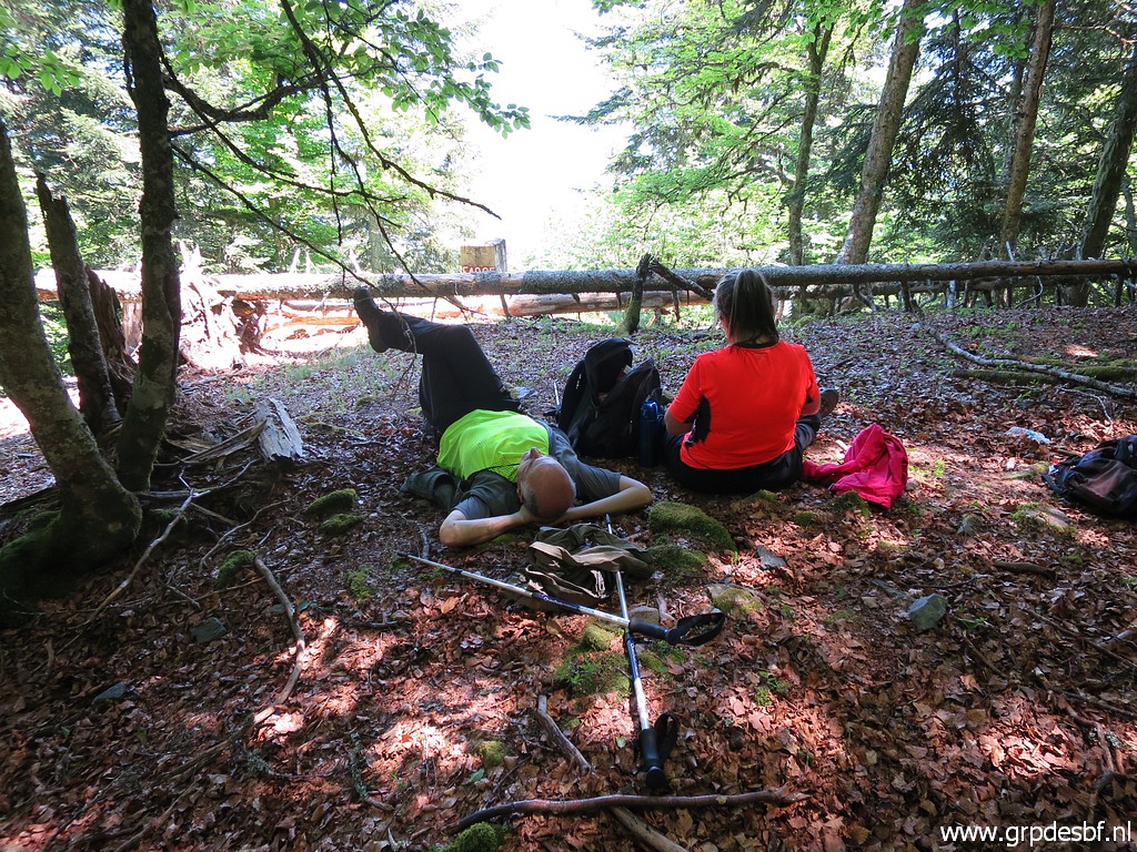
 | and take a well-derved break. But the hard work still to come. (click photo to enlarge) |
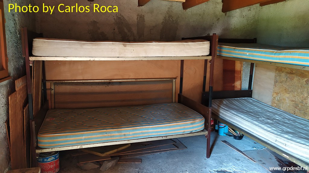 | The cabane from the inside. I slept here last year on 21-6-2020. (click photo to enlarge) |
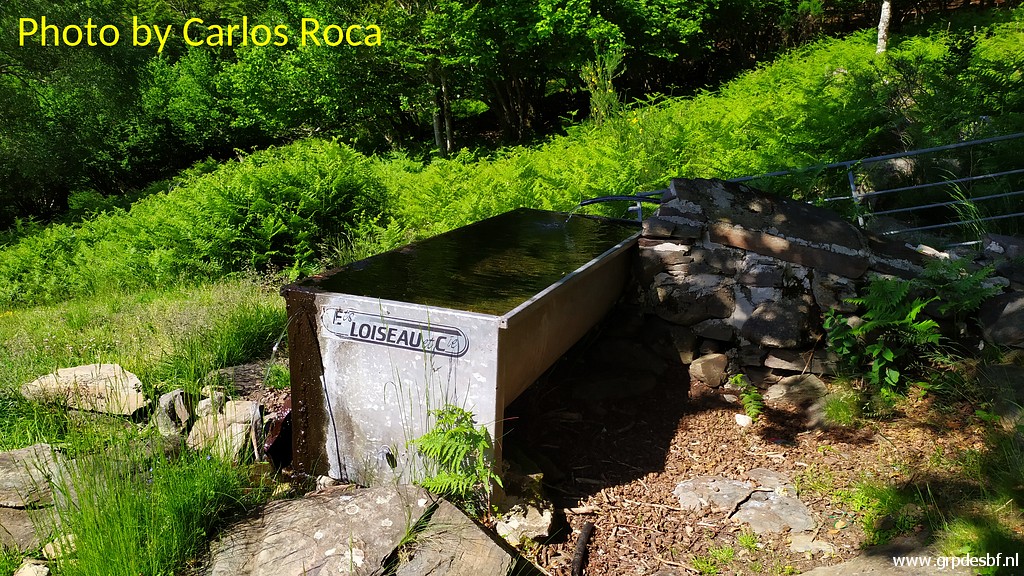 | The water supply is working again, making this cabane very nice and practical for sleeping. (click photo to enlarge) |
 | In the shade (click photo to enlarge) |
 | we enjoy our break. (click photo to enlarge) |
 | But we have to go on. Behind the cabane, this path starts (click photo to enlarge) |
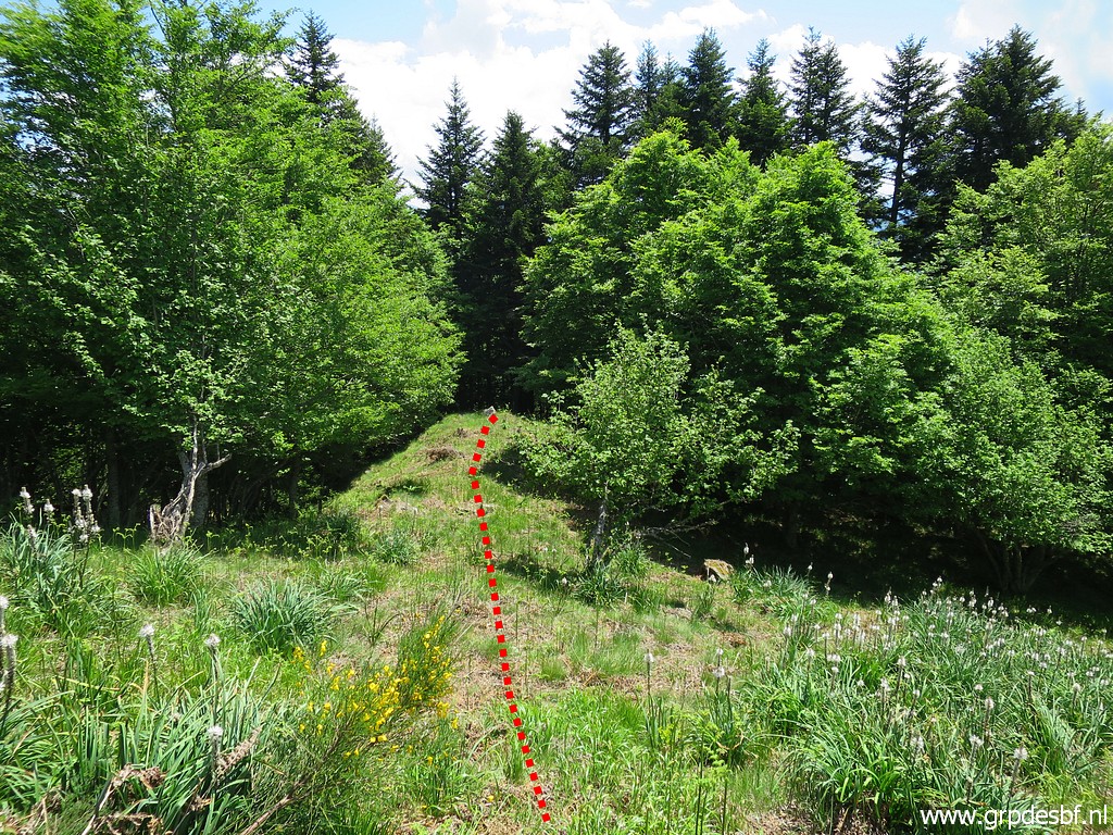
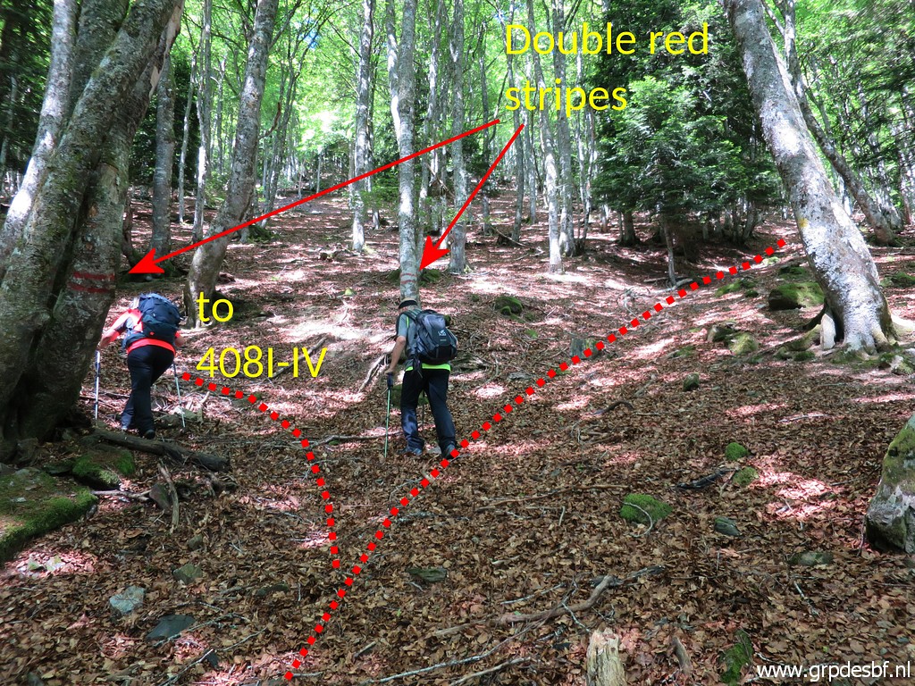 | and brings us to this point with two trees with double red stripes. The main trail goes straight on but we have to turn left here. (click photo to enlarge) |
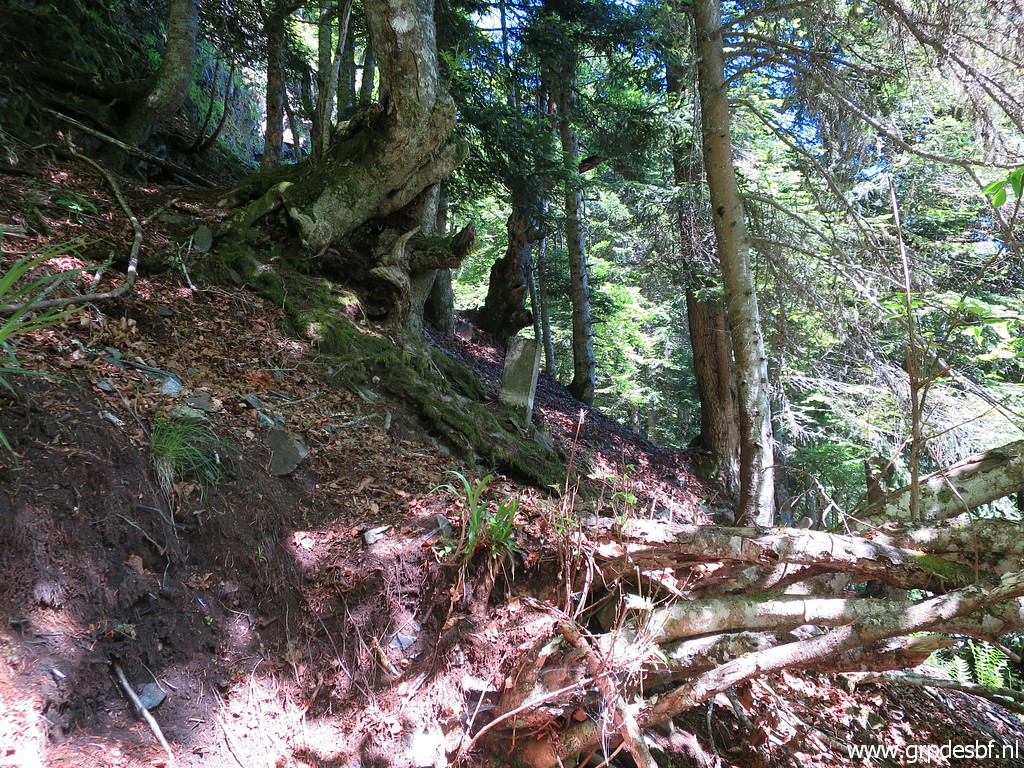
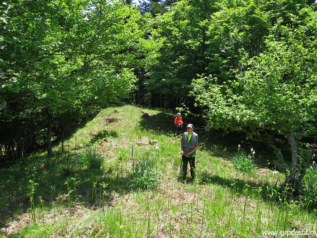
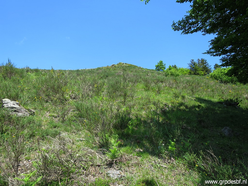
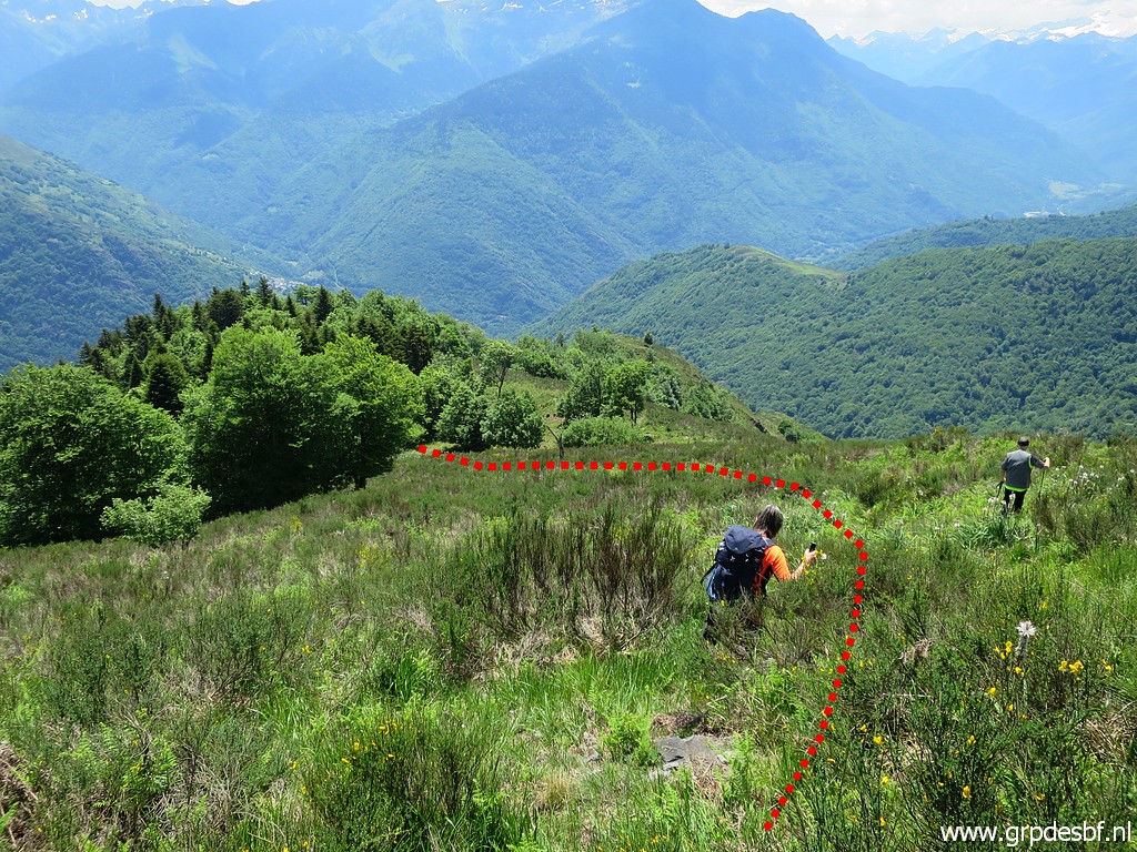
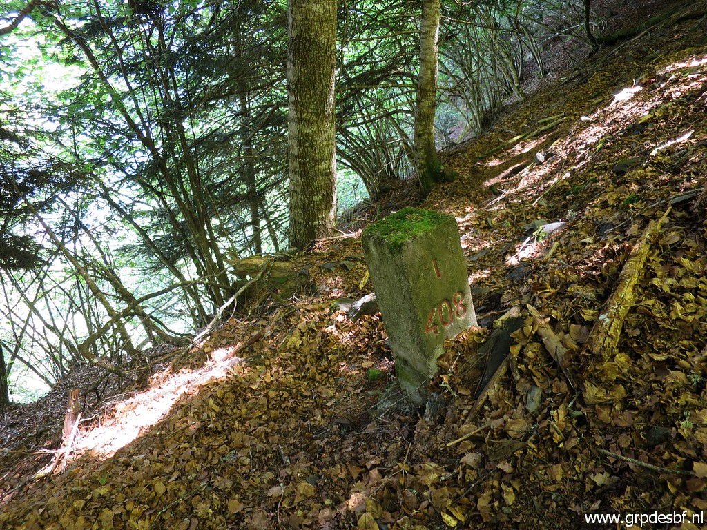
 | That trail towards the bm408-submarkers is vaguer. Arriving at the open strip where a tiny stream (now dry) descends from bm408I. Bm408III is already visible but we skip it to do it on our return. (click photo to enlarge) |
 | Same story for bm408II, higher up on the steep hillside. (click photo to enlarge) |
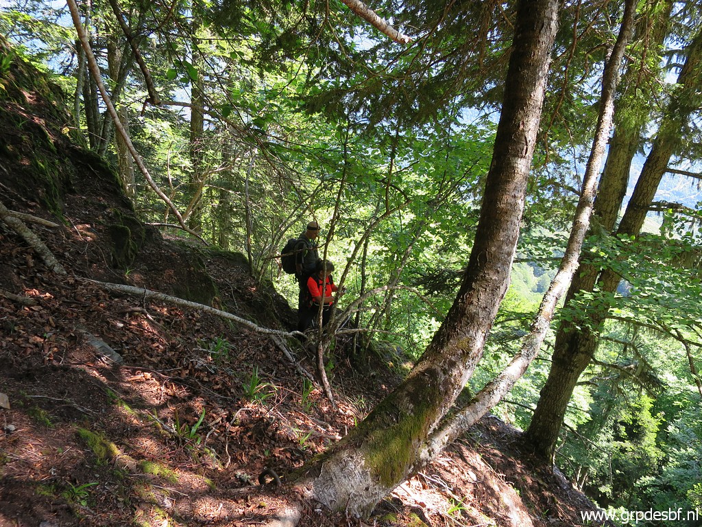
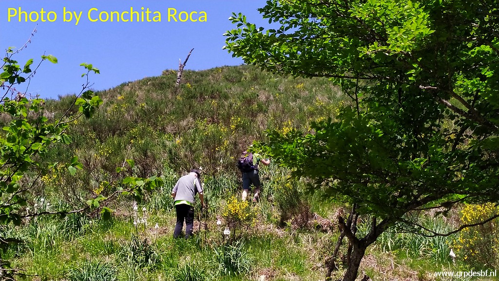
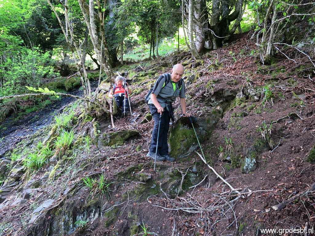
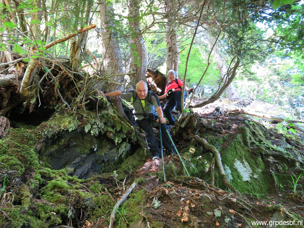
 | Now the difficult part starts: the part between bm408II and 408I. It's very steep (click photo to enlarge) |
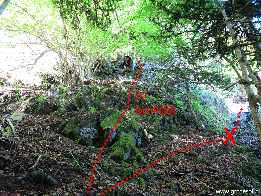 | Just above bm408II, there is a kind of ridge going to the right. I tried that last year but arrived at steep rocks. We have to take the left route, I cleaned the first part last year. (click photo to enlarge) |
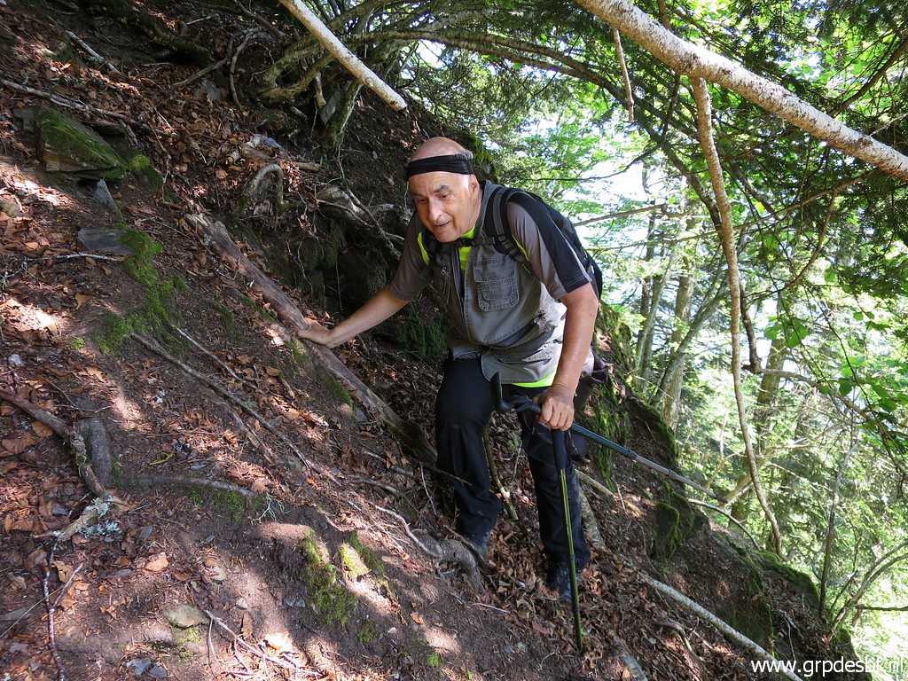
 | Carefully climbing, making use of the trees to keep hold, we arrive at a higher level. (click photo to enlarge) |
 | A last scramble and (click photo to enlarge) |
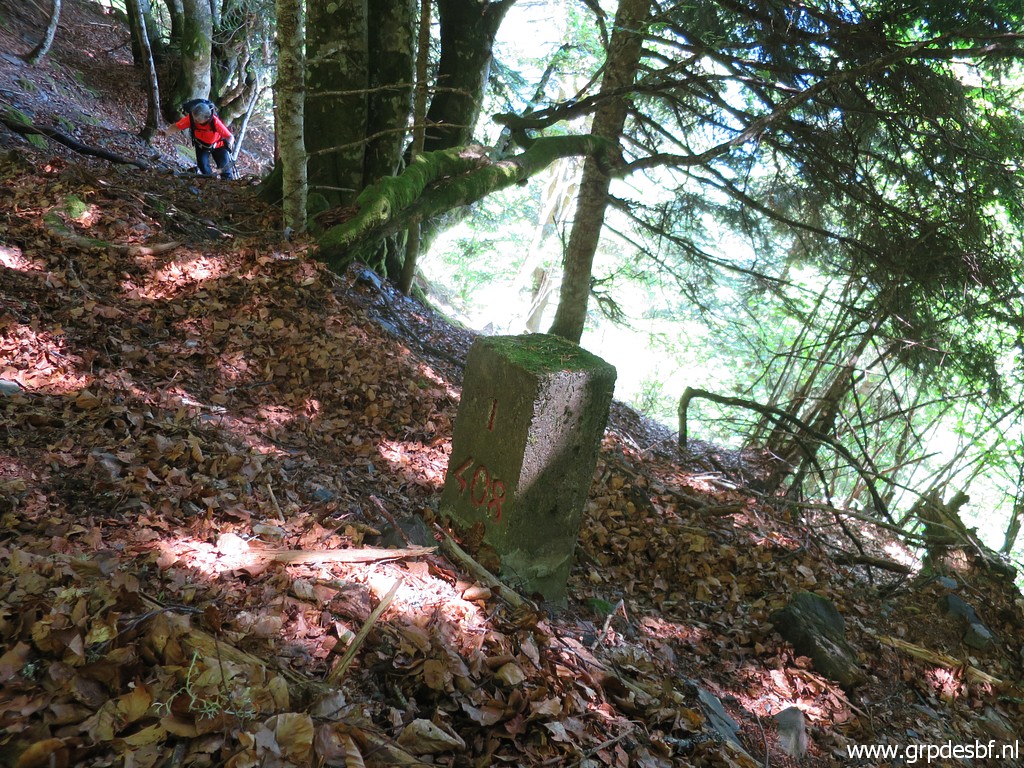
 | we arrive at bm408I (click photo to enlarge) |
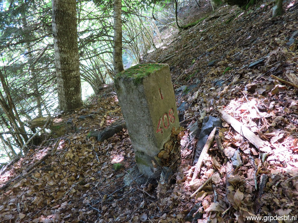 | Bm408I (click photo to enlarge) |
 | Bm408I (click photo to enlarge) |
 | Bm408I, time to take pictures (click photo to enlarge) |
 | Bm408I (click photo to enlarge) |
 | From bm408I to bm408, there is no trail or obvious route but climbing to it - using our gps-devices - is not that hard. The terrain is less steep now. (click photo to enlarge) |
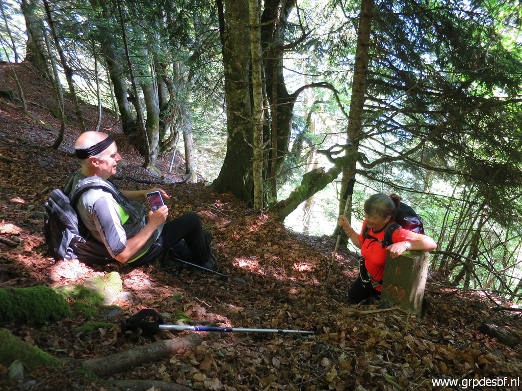
 | Bm408 (click photo to enlarge) |
 | Bm408 (click photo to enlarge) |
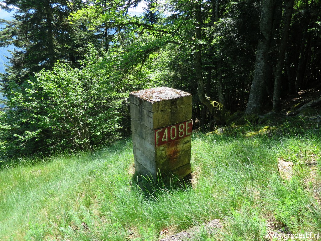 | Bm408 (click photo to enlarge) |
 | Bm408 (click photo to enlarge) |
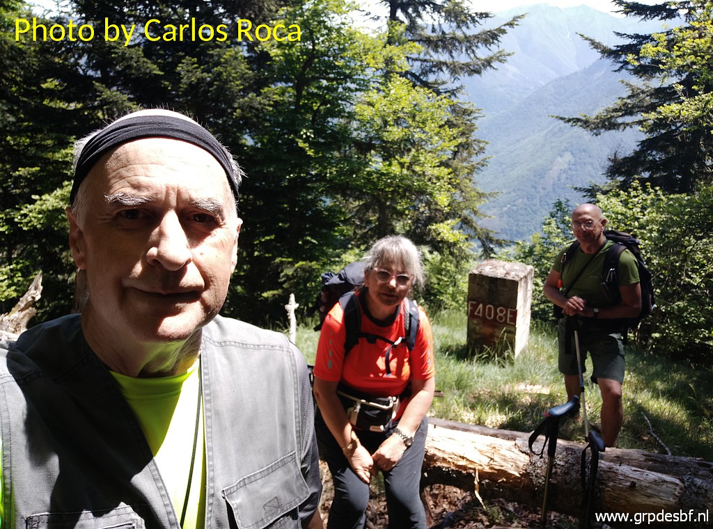 | Bm408 (click photo to enlarge) |
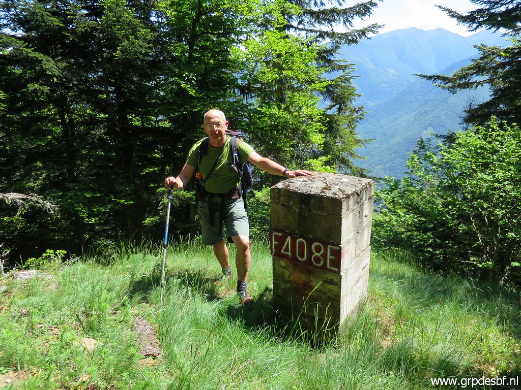 | Bm408 (click photo to enlarge) |
 | Bm408 (click photo to enlarge) |
 | Still, it has been a tough climb from bm408II to here and Carlos takes a rest. (click photo to enlarge) |
 | Then going on, climbing towards the ridge (click photo to enlarge) |
 | which will bring us to bm407. (click photo to enlarge) |
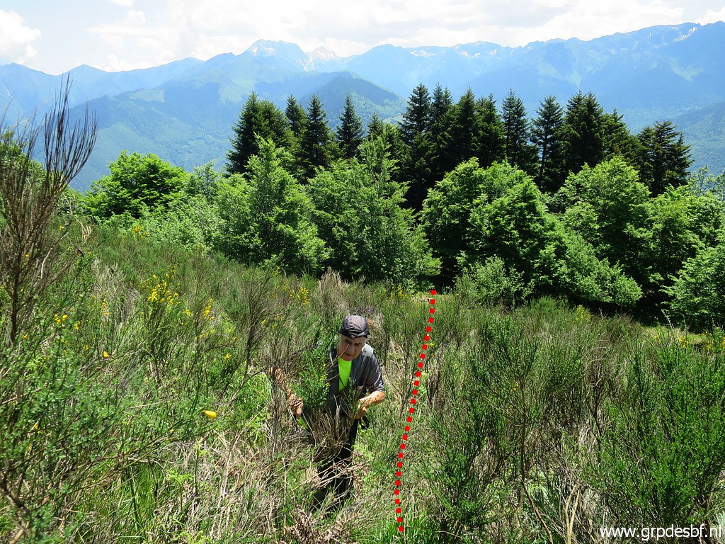 | Through the broom we find our way uphill. With bm407 coming closer, Carlos gets new energy. (click photo to enlarge) |
 | Continuing (click photo to enlarge) |
 | uphill (click photo to enlarge) |
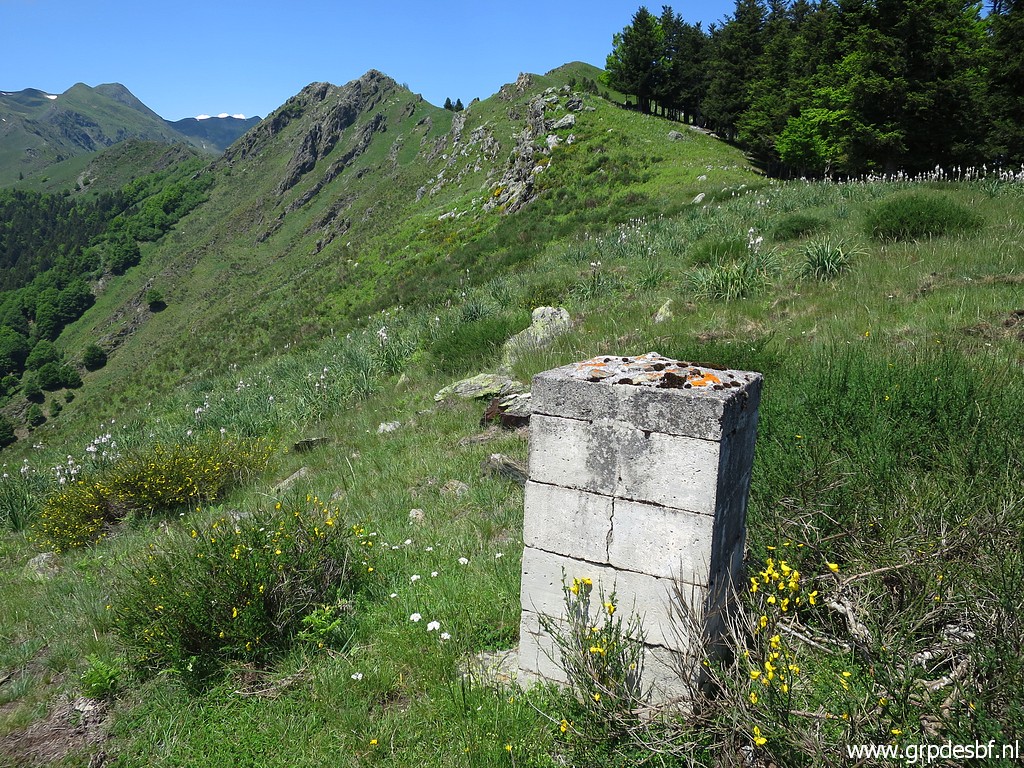
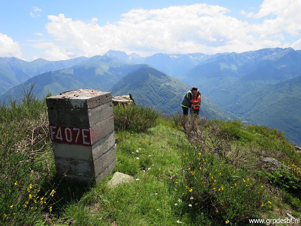
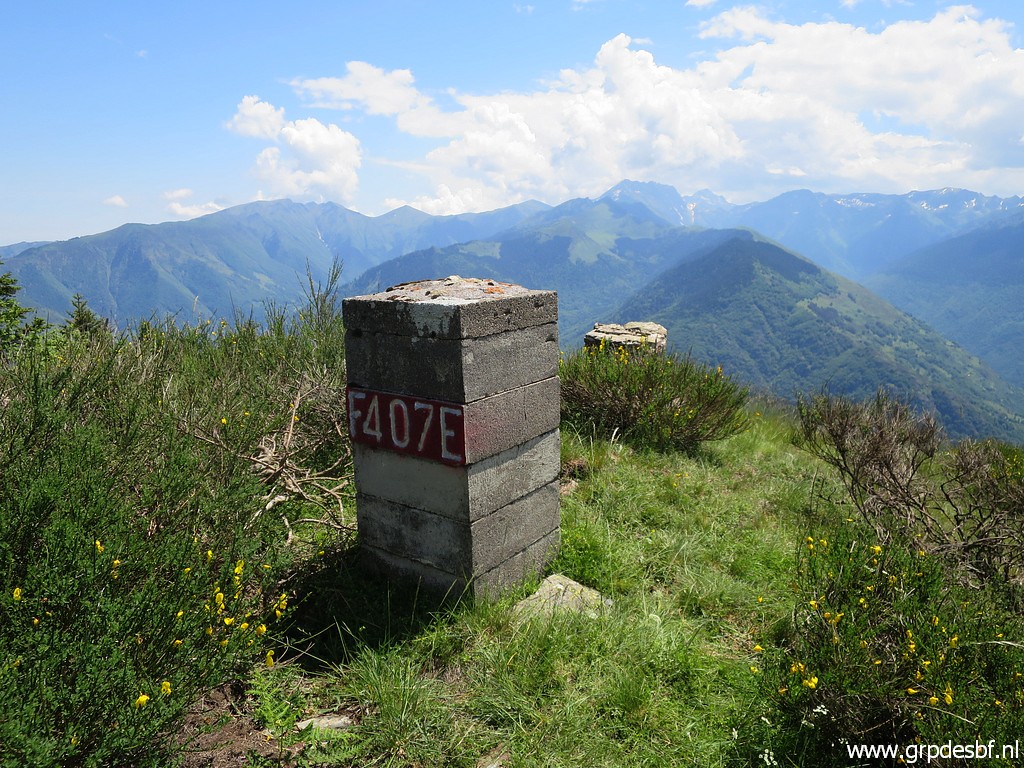
 | Arriving at bm407 (click photo to enlarge) |
 | Bm407 (click photo to enlarge) |
 | Bm407 - the original marker. This is the best preserved old mansonry marker in the range bm366 to 407. (click photo to enlarge) |
 | Bm407 (click photo to enlarge) |
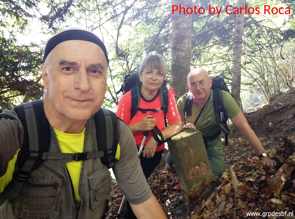
 | Now it's time to harvest this conquest by making a lot of pictures. (click photo to enlarge) |
 | Bm407 (click photo to enlarge) |
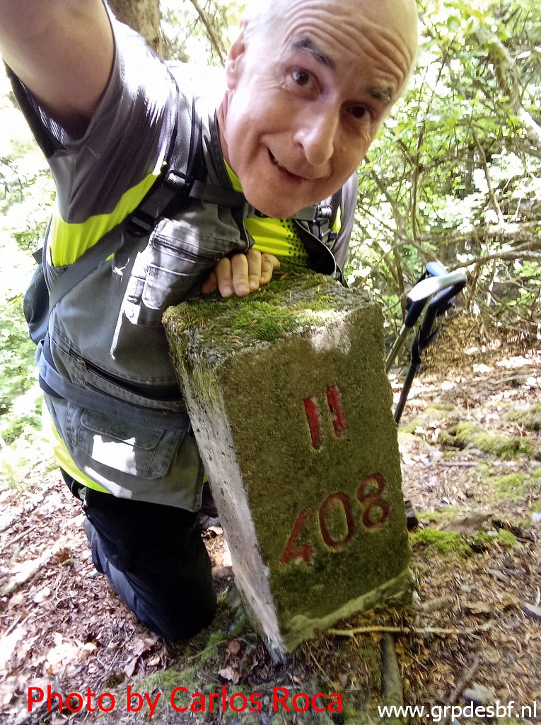
 | Also the indispensable selfie (click photo to enlarge) |
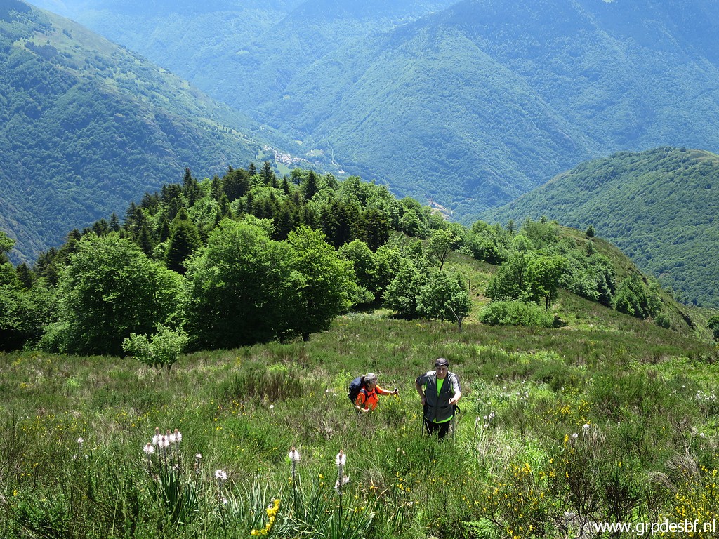
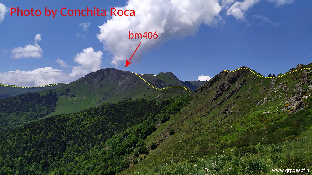 | A picture by Conchita of the borderidge to the W. You can see that bm406 is far away and walking that stretch (hardly trails) takes a lot of time and effort. (click photo to enlarge) |
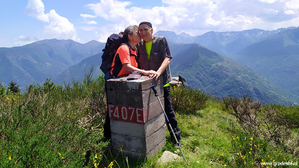 | Carlos and Conchita are content, it's been al long climb but they made it. (click photo to enlarge) |
 | Bm407 (click photo to enlarge) |
 | Bm407 (click photo to enlarge) |
 | Bm407 (click photo to enlarge) |
 | We descend back (click photo to enlarge) |
 | and enter the forest again (click photo to enlarge) |
 | and head to bm408. (click photo to enlarge) |
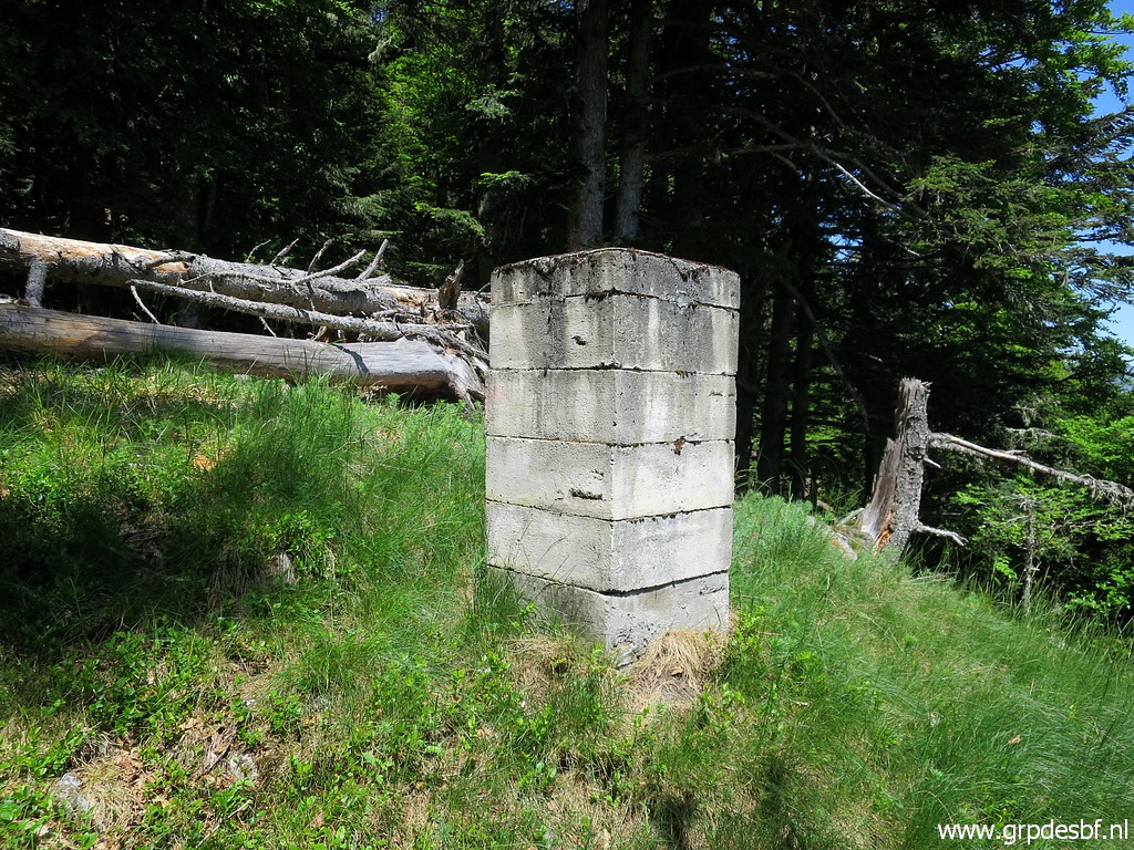
 | Bm408 (click photo to enlarge) |
 | Another moment of rest, we can relax now, the hardest part is done. (click photo to enlarge) |
 |
Then returning to bm408I It takes some time to find it back. |
 | Bm408I found (click photo to enlarge) |
 | Bm408I (click photo to enlarge) |
 | Bm408I (click photo to enlarge) |
 | Bm408I (click photo to enlarge) |
 | Then the last difficult part of the trip: descending steeply from bm408I to bm40II (click photo to enlarge) |
 | When you are slow and careful and go from tree to tree, you will survive. (click photo to enlarge) |
 | Arriving at bm408II (click photo to enlarge) |
 | Bm408II (click photo to enlarge) |
 | Bm408II (click photo to enlarge) |
 | Bm408II (click photo to enlarge) |
 | Bm408II, a moment of rest (click photo to enlarge) |
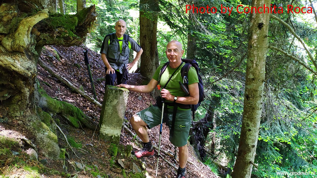 | and then the photo session (click photo to enlarge) |
 | A selfie with only Carlos, the terrain is too steep for a 'three-ie'. (click photo to enlarge) |
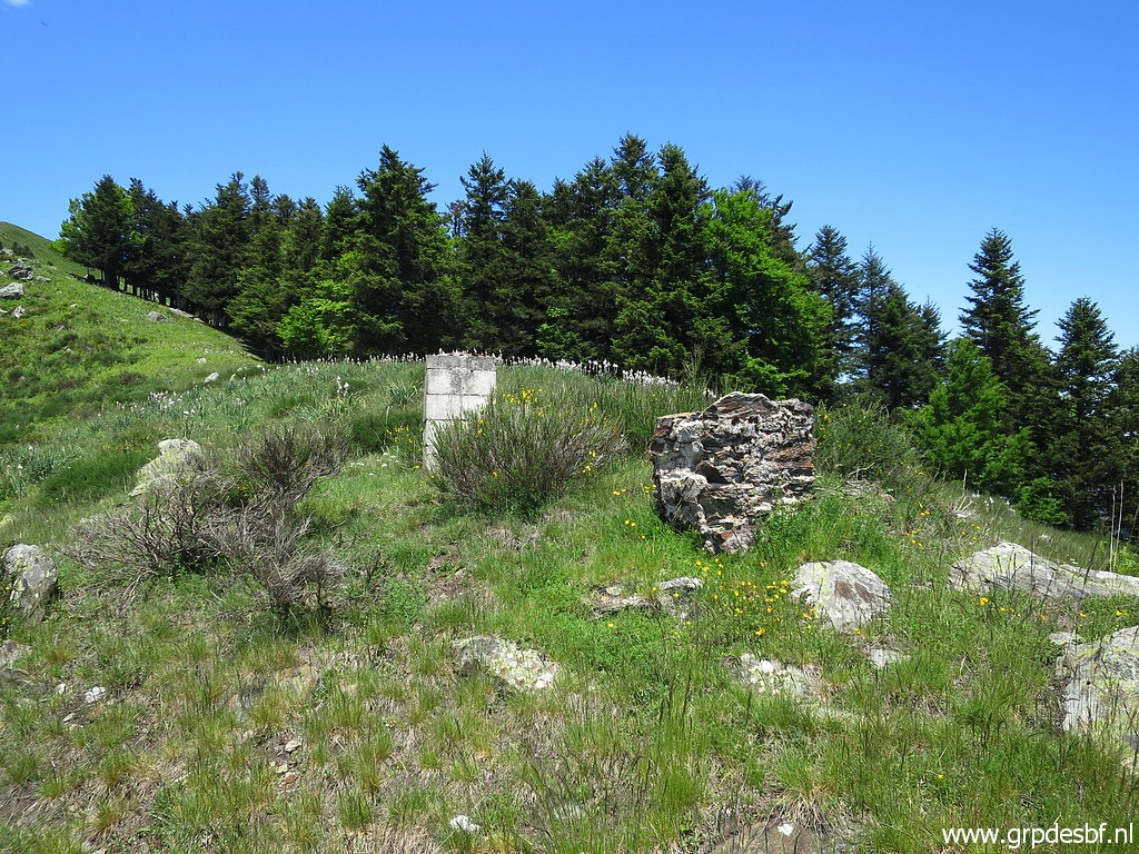
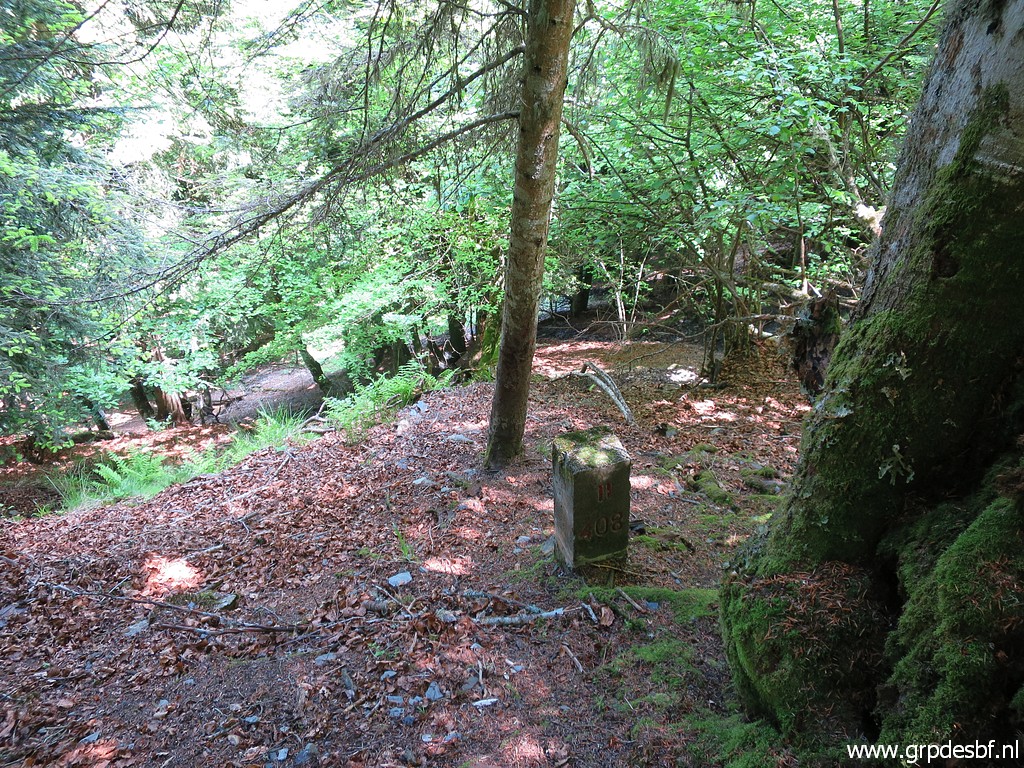
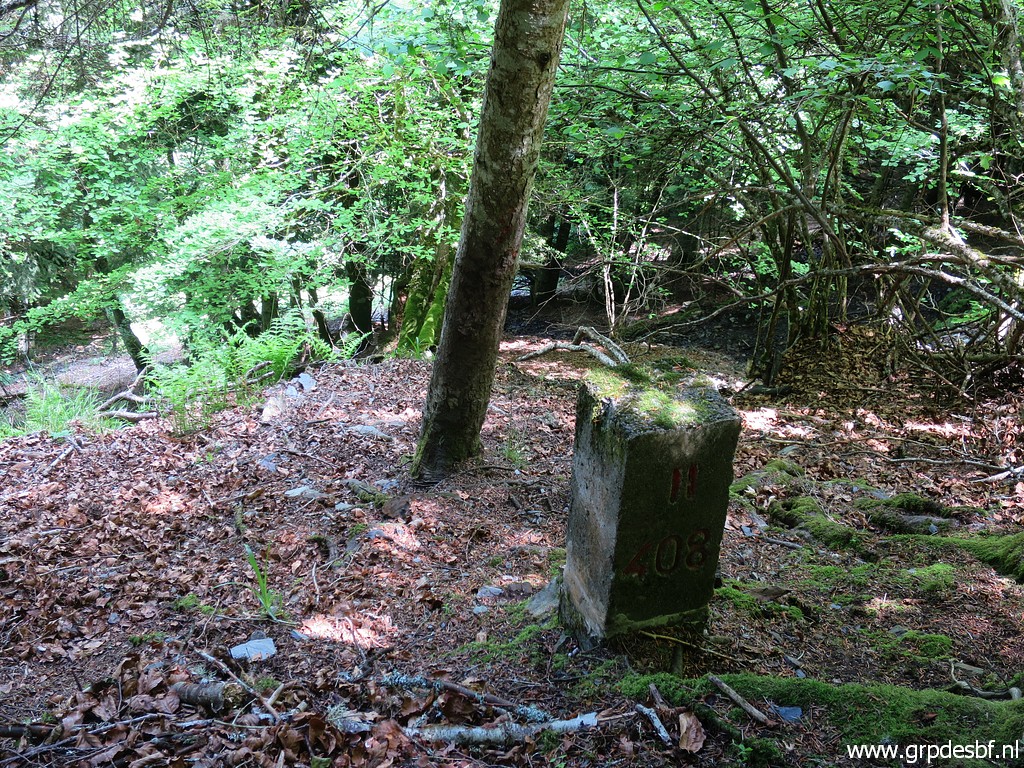
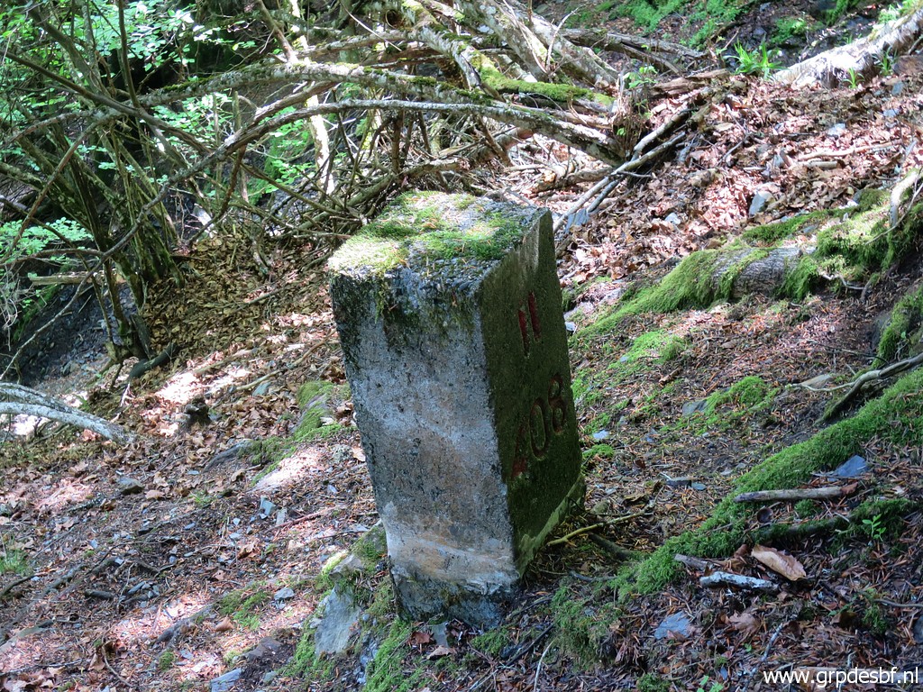
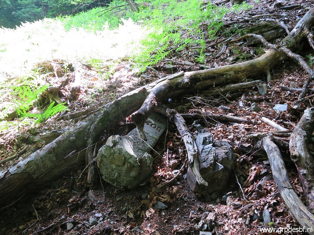 | Bm408III lies at the side of the open strip. It has slided from its original place and was unfindable until 31 may 2018. (click photo to enlarge) |
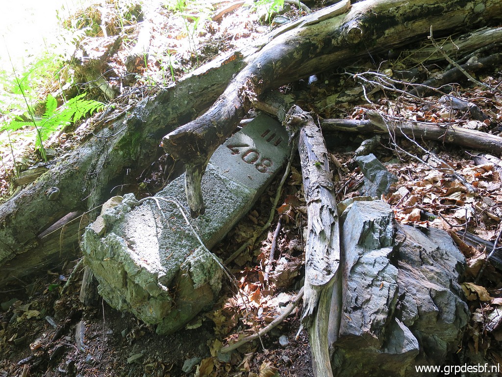 | Bm408III (click photo to enlarge) |
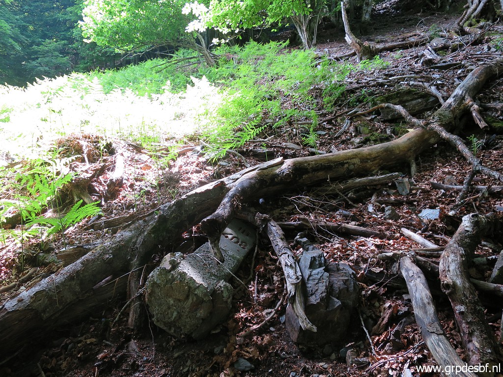 | Bm408III (click photo to enlarge) |
 | Bm408III (click photo to enlarge) |
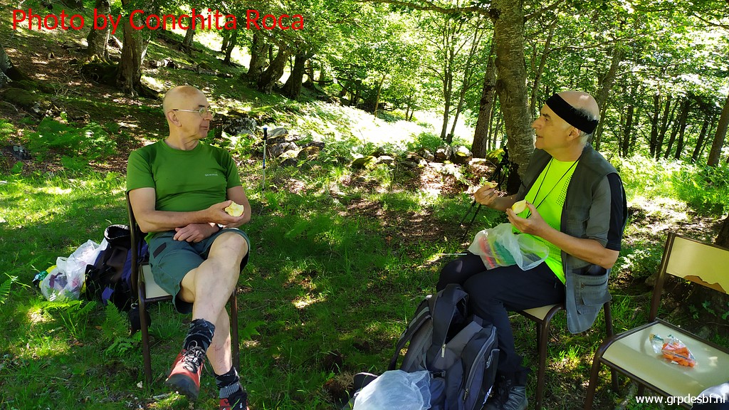
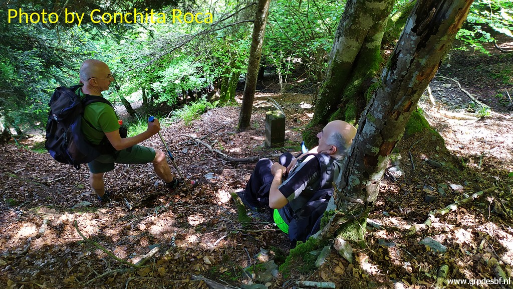
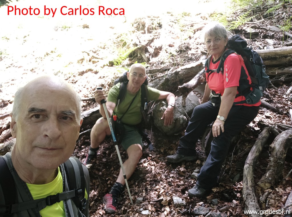
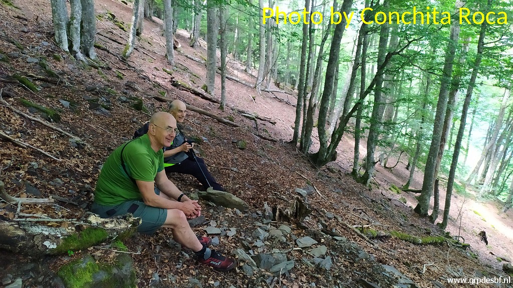 | Enjoying the sacred energy of the forest or just two elderly men taking a pause? (click photo to enlarge) |
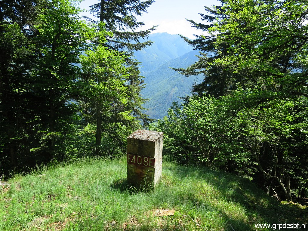
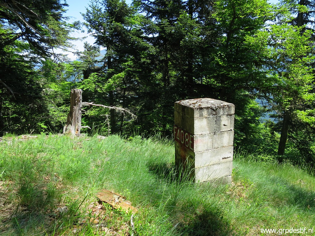
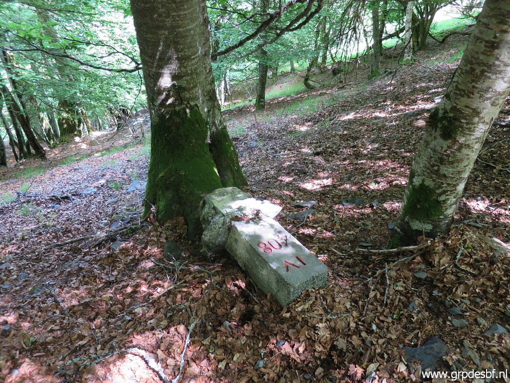
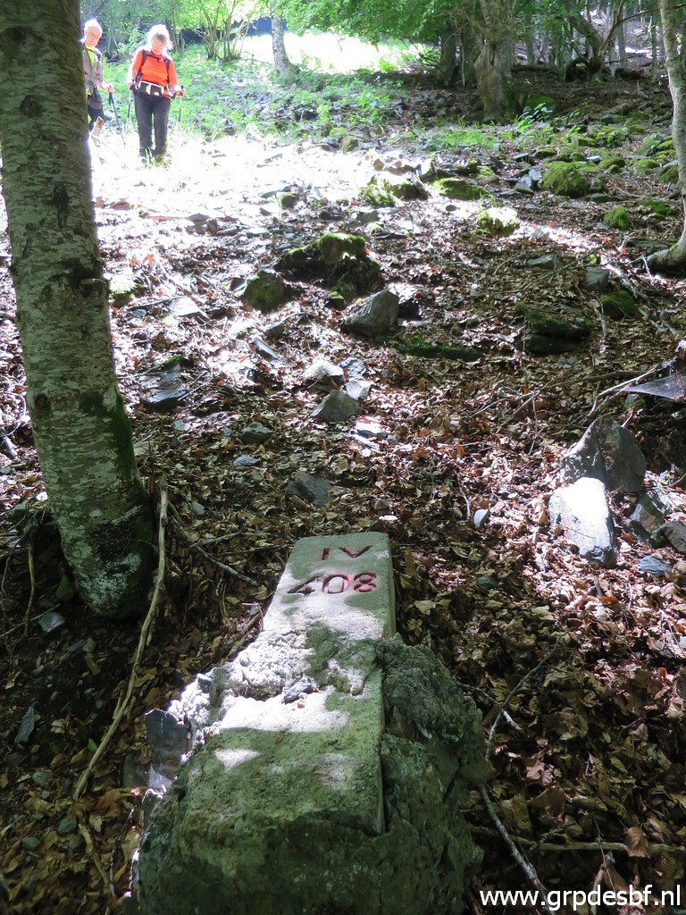
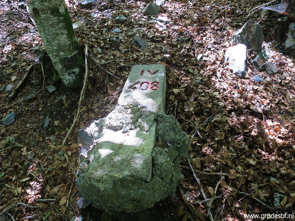
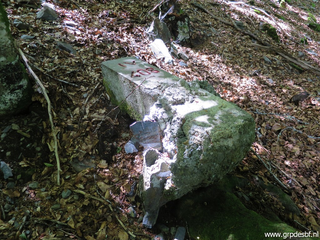
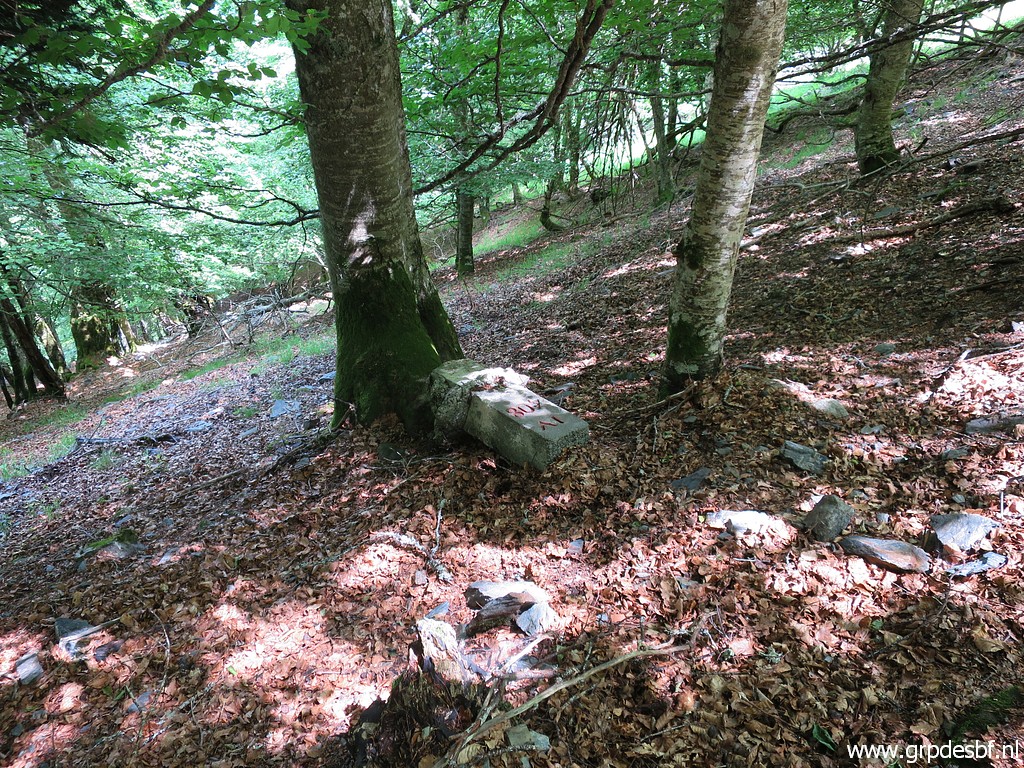 | Bm408IV, the last target of today. Same story as with bm408III: slided from its original place and unfindable until 31 may 2018. (click photo to enlarge) |
 | Bm408IV (click photo to enlarge) |
 | Bm408IV (click photo to enlarge) |
 | Bm408IV (click photo to enlarge) |
 | Bm408IV (click photo to enlarge) |
 | Bm408IV (click photo to enlarge) |
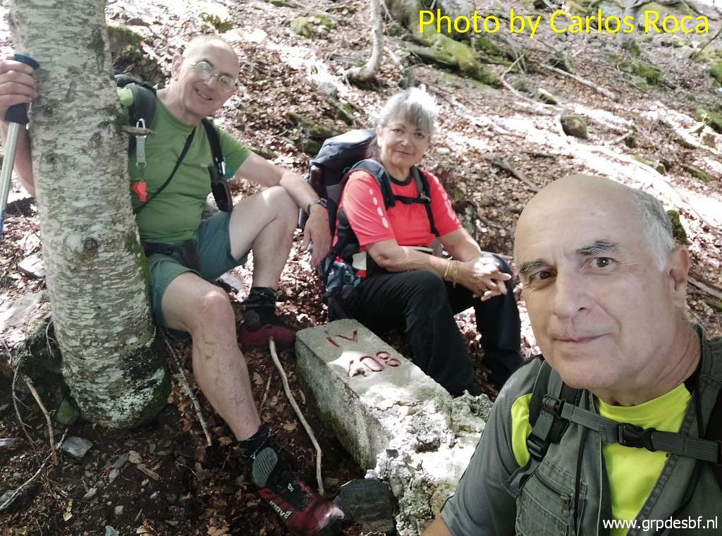 | Bm408IV (click photo to enlarge) |
 | Then quietly returning (click photo to enlarge) |
 | to the cabane. (click photo to enlarge) |
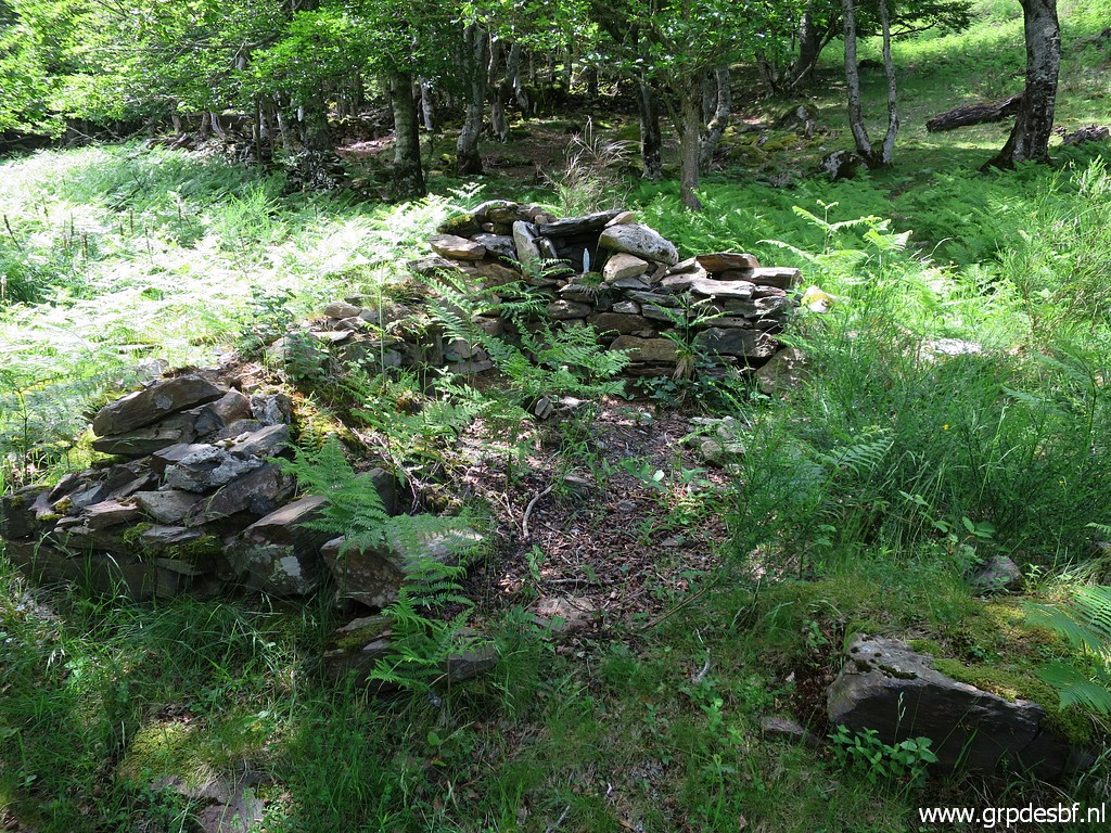 | There is - to my surprise - a mini-chapel behind the cabane (click photo to enlarge) |
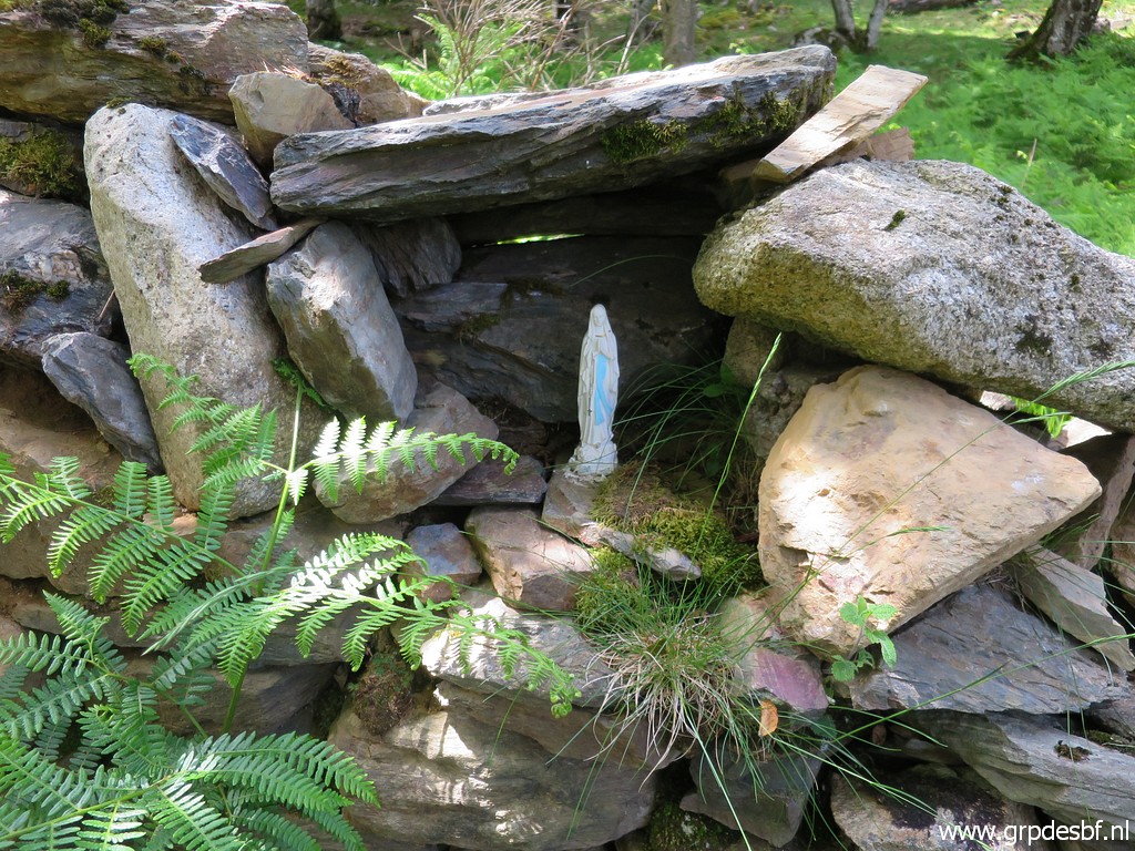 | with mother Mary. (click photo to enlarge) |
 | Saying goodbye to cabane d'Herechet. Will I ever return here? (click photo to enlarge) |
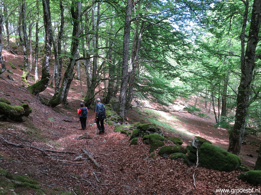
 | Descending through the beech forest. (click photo to enlarge) |
 | In the last part we are surprised to meet a group of motorcyclists. (click photo to enlarge) |
 | Back at the car, we are tired. For Carlos and Conchita, it has been their longest and most strenuous trip ever. (click photo to enlarge) |
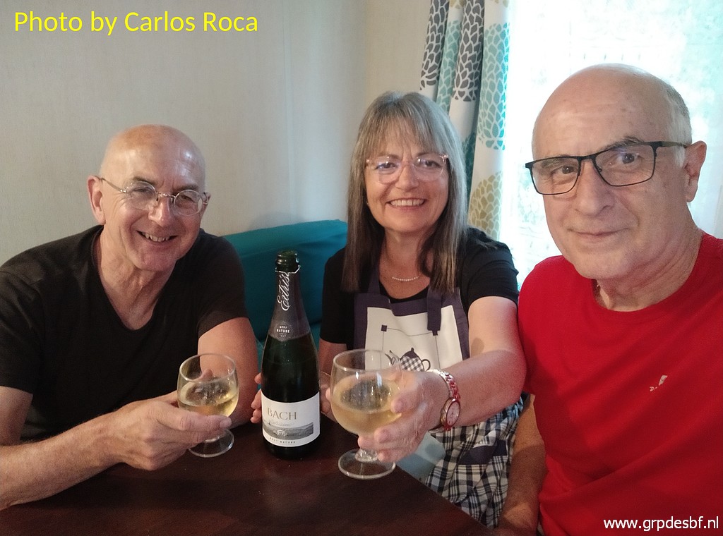 | At night we celebrate our 'tour de force' with a bottle of cava. It has been a nice and successful day. Tomorrow, they will drive home. (click photo to enlarge) |