|
The
bordermarkers of the Pyrenees : all my trips
 |
|
| -
wednesday 12 april
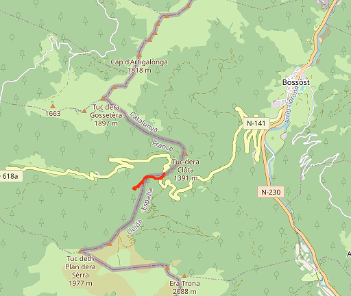
2023 - Search for bm364 & doing the 365-365 submarkers with Corinne |
 |
 |
Summary:
part of a series of 5 daytrips and one 3-days backpacking trip in april
2023. This is day 3. Today: together with Corinne Gourgeonnet a short trip from Col du Portillon for a last search for the disappeared bm364. We also check the small unnumbered F/E-markers between bm365 and 366. Weather: lightly overcast |
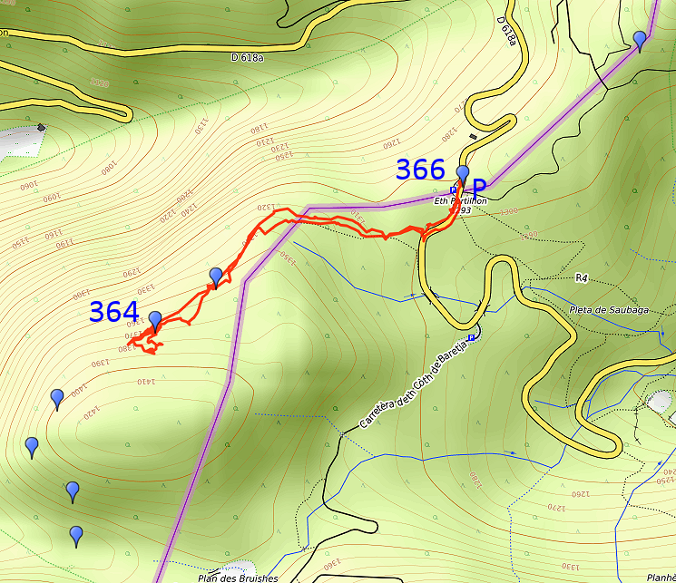 track-20230412.gpx
This gpx-track has not been manually corrected which explains the inaccuracy and misalignment at some points. The original elevation recording has been replaced by more accurate DEM-data with Gpsvisualizer.com. For cartographic backgrounds: see the cartography-page Gps-waypoints of all bordermarkers (most recent version): kml: esfr-bordermarkers-all-waypoints.kml gpx: esfr-bordermarkers-all-waypoints.gpx (with reliable elevation data added by gpsvisualizer.com) |
|
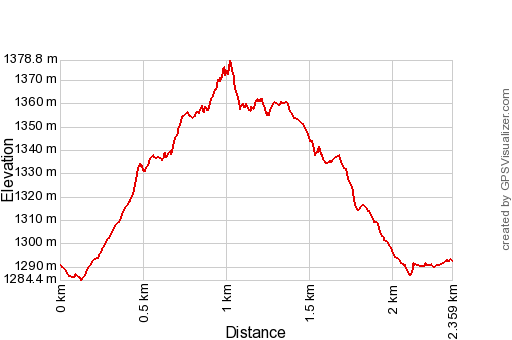 |
According to Garmin
Basecamp (uncorrected track with elevation added by Gpsvisualizer.com): Distance: 2,4 km Max-height: 1379m Min-height: 1284m Elevation: +113m -111m Total elevation: 224m Start 8:56 Finish 10:06 Total time: 1:09 |
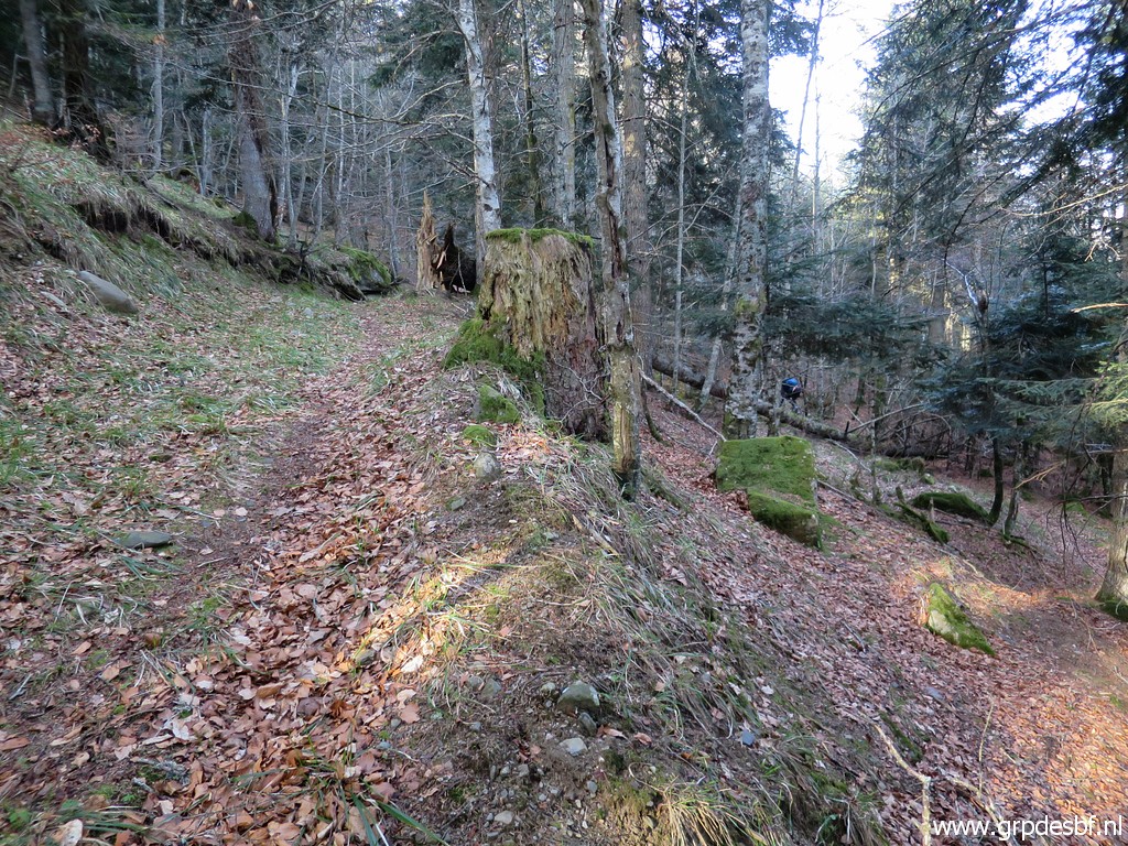
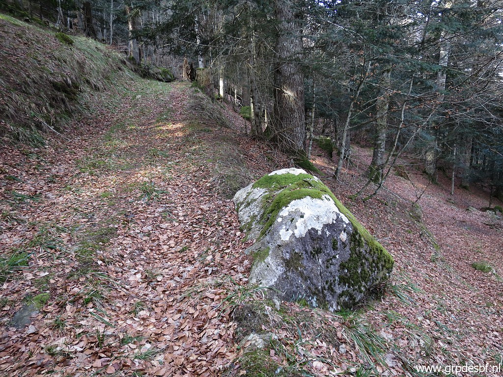
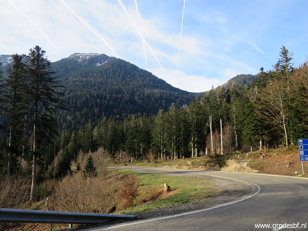 | From Col de Portillon, we
descend a bit into Spain and (click photo to enlarge) |
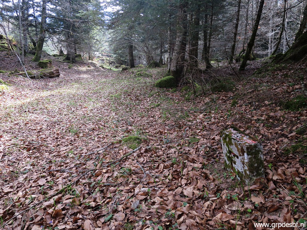
 | take a track into the
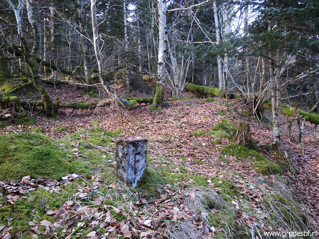
forest and soon spot a first unnumbered marker. We will find in the end 10 of those markers and including 2 large colums, we have found 12 unnumbered bordermarkers between bm365 and 366: no. 1 to 12. This is no. 8 in a sequence of 12 markers between bm365 and 366. (click photo to enlarge) |
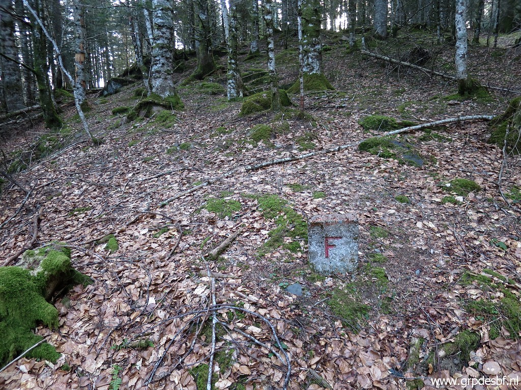
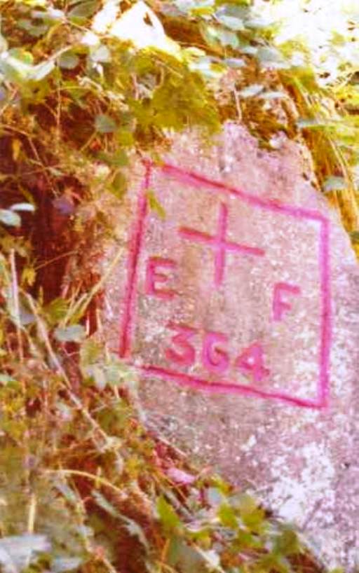
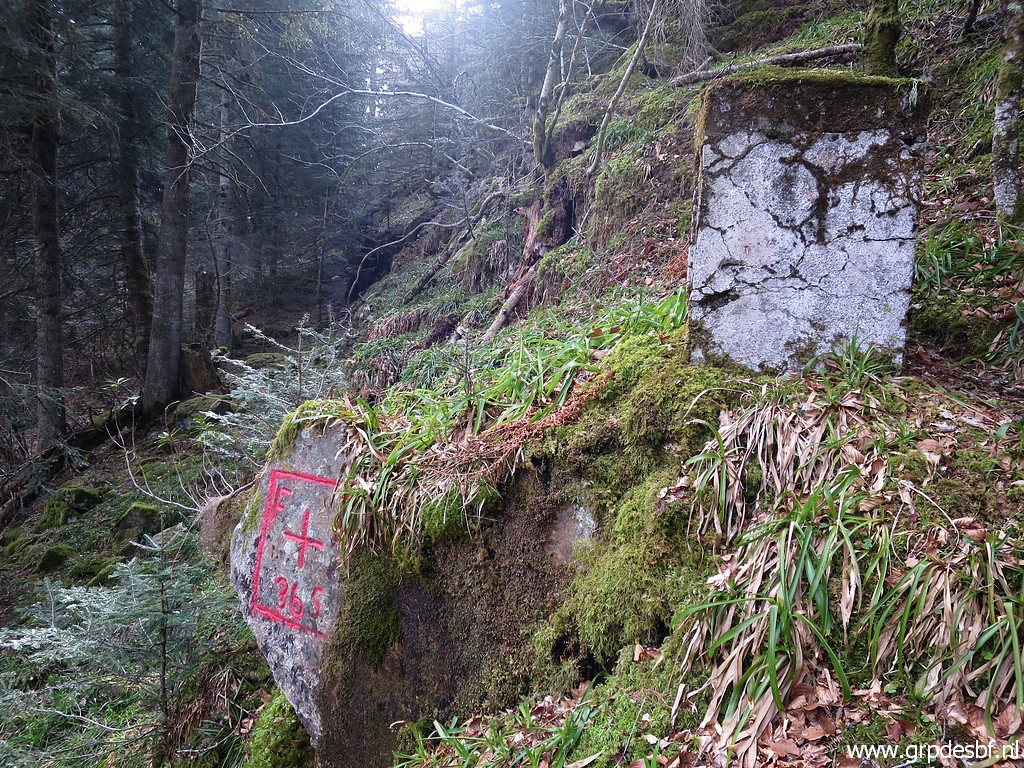
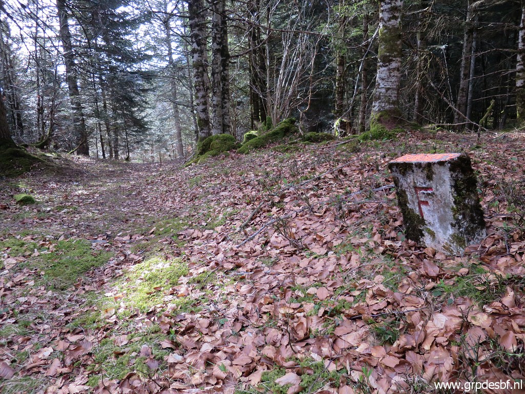
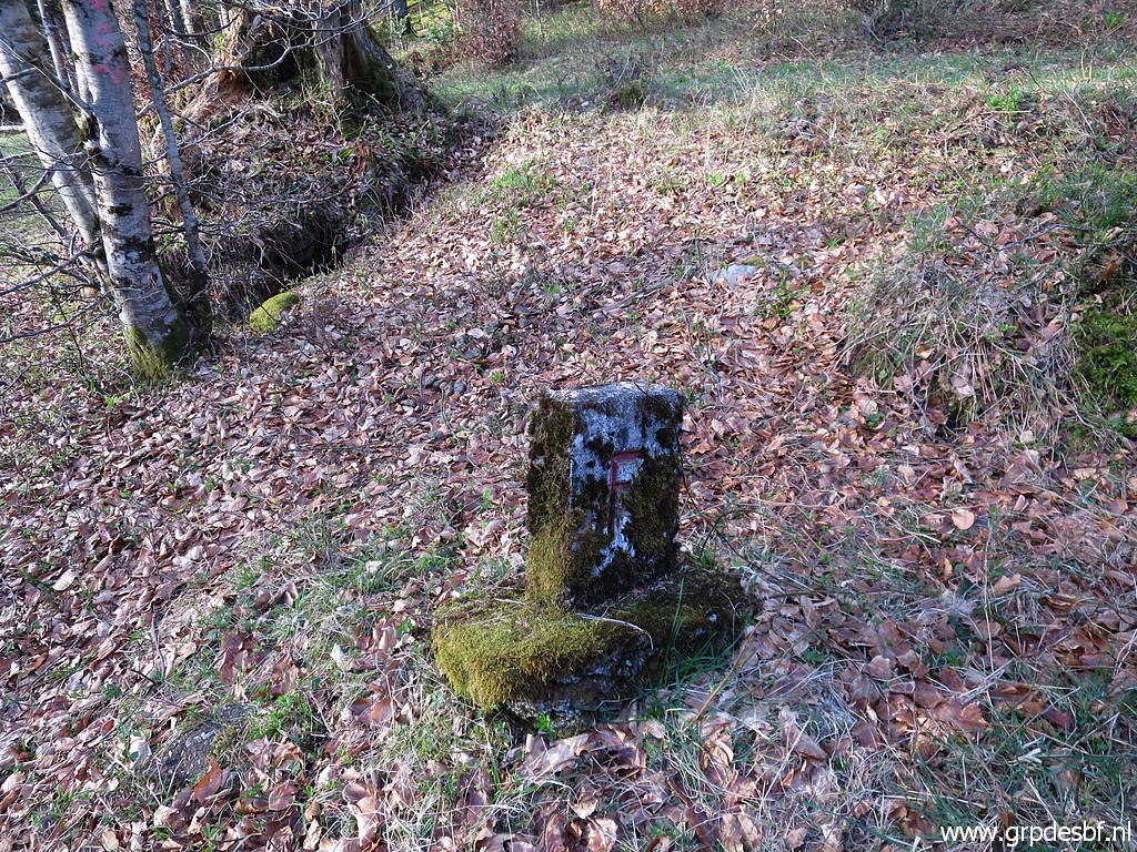 | There is an F on one side (click photo to enlarge) |
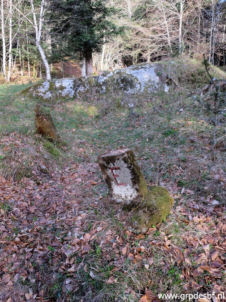 | and an E on the Spanish
side. Since they have no number, they don't count for the total of 723 esfr-markers in my own counting. Have a look at this page for more explanation. (click photo to enlarge) |
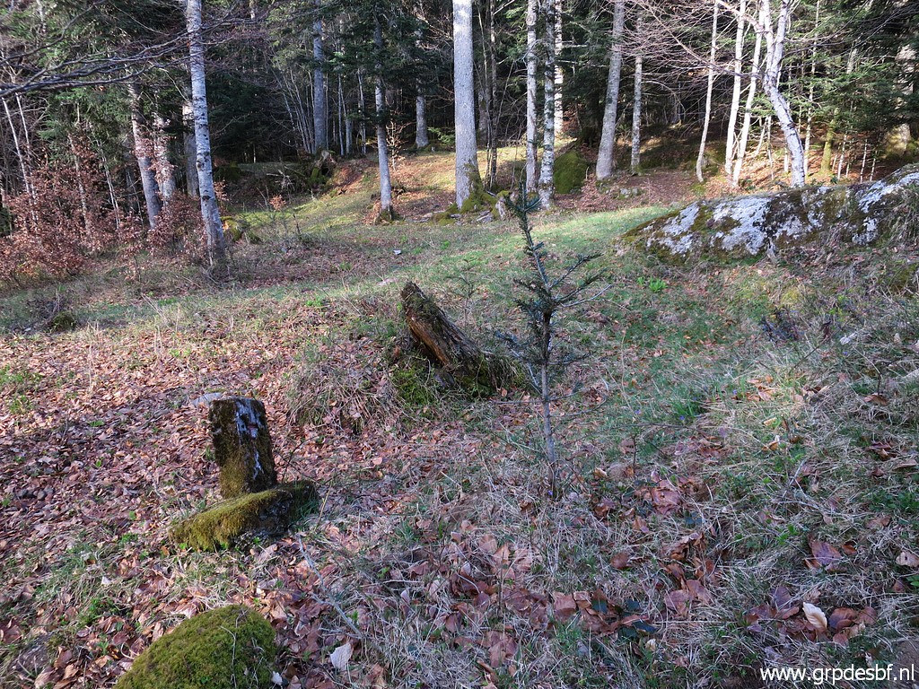
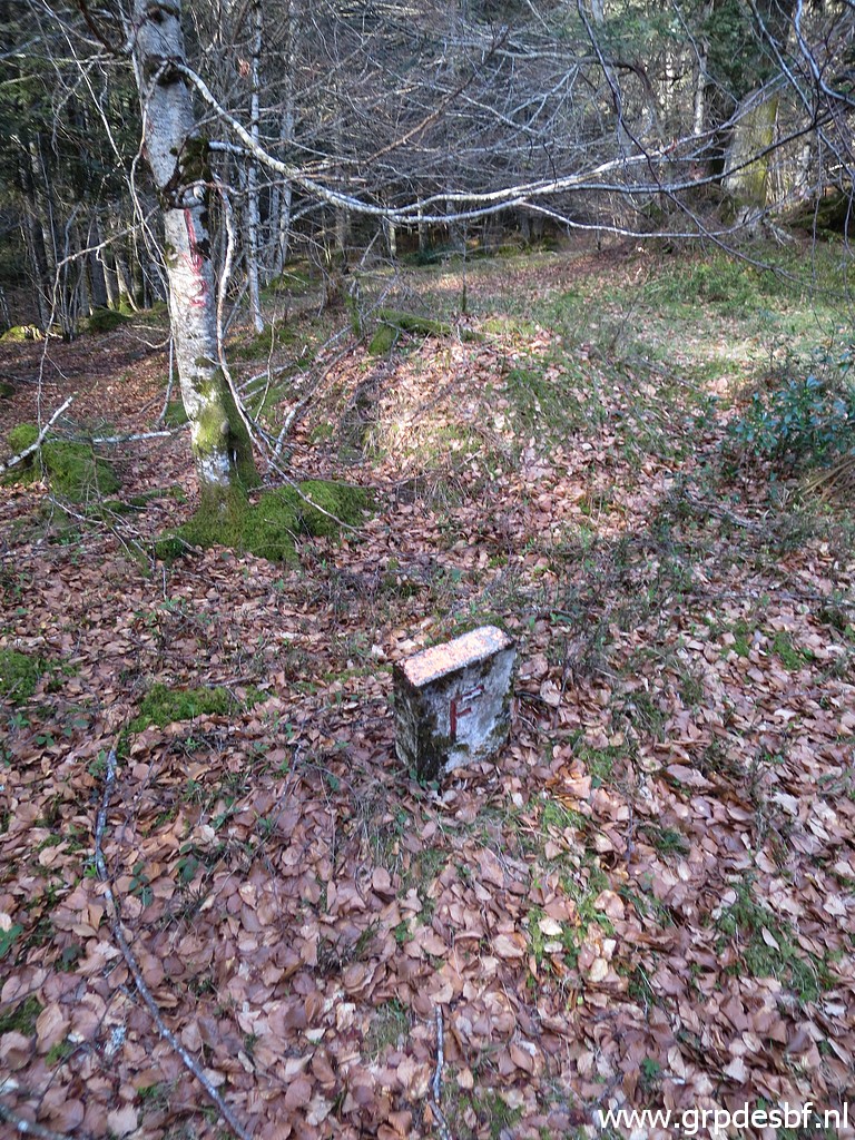 | As said before, we will find today 10 unnumbered markers like these ones + 2 brickstone pillars. On our way back from bm365, we will search more dedicated for these markers and then we will find 12 markers in total. Now we just take pictures if we happen to see one. This is no. 7. Jacques Koleck reported in 2013 that he found 9 of such markers. And Robert Darrieumerlou mentions at this page 'at least 8' of such E/F-markers. (click photo to enlarge) |
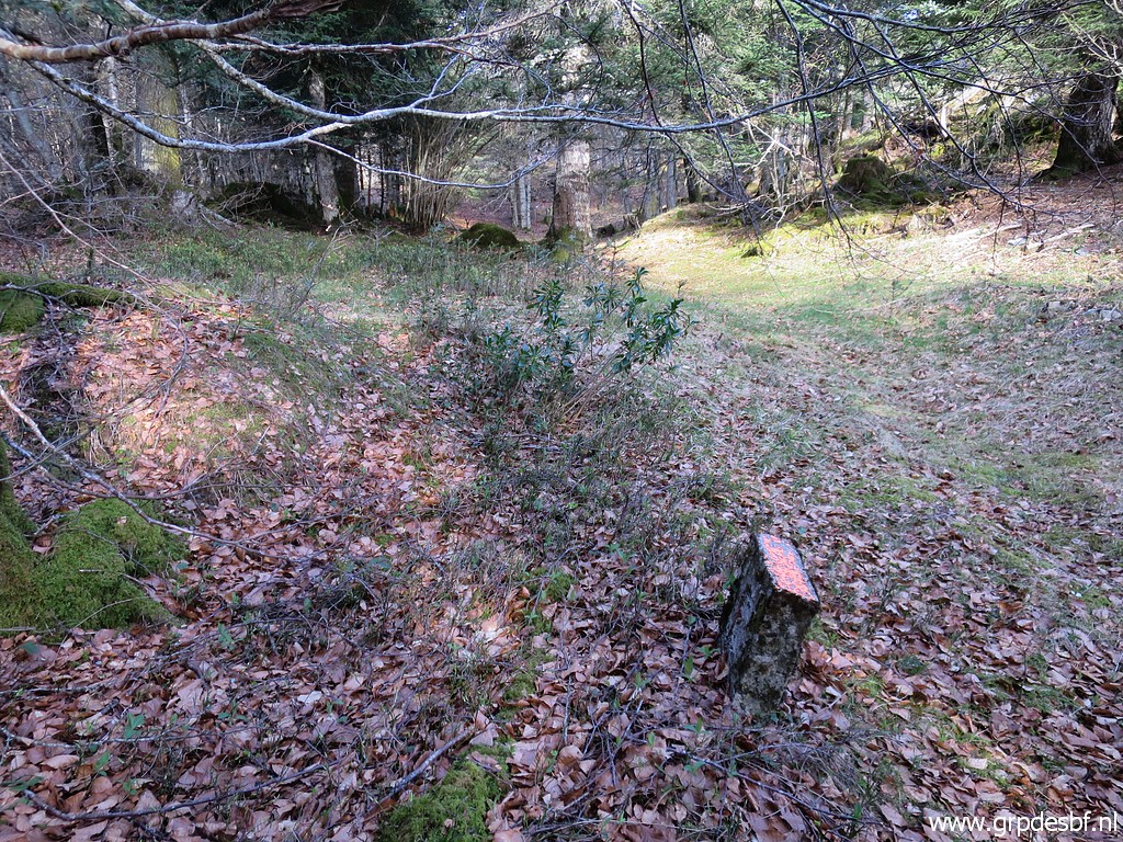 | No. 7 (click photo to enlarge) We know nothing about the origin or date of these intermediate markers. I suppose that they, including the brickstone colums, were placed when Col du Portillon and the roads leading up to it, were enlarged. But when? |
 | This is no. 6 (click photo to enlarge) |
 | This is no. 2 (click photo to enlarge) |
 | No. 2 (click photo to enlarge) |
 | And this is no. 1 (click photo to enlarge) |
 | No. 1 (click photo to enlarge) |
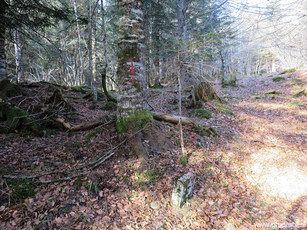
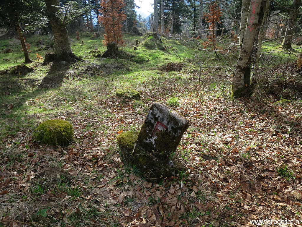
 | Now we have reached bm365. (click photo to enlarge) |
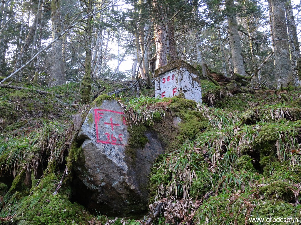 | Bm365 (click photo to enlarge) |
 |
Further on we split and check each several points where the lost bm364 might be found. What do we know about bm364? Paco Nudels shows a picture of the cross on this page. In january 2011, Charles & Josette Darrieu informed me that Paco's got his picture from the "Archives de La Guardia Civil". Paco supposes that the rock has tumbled down when the forest road underneath was dug. And Jaques Koleck added in 2013: "With a decameter I measured exactly the 143 meters which, according to the Treaty, separate cross 365 from 364. I arrived at a rock at groundlevel, at the right roadside. This rock - 1m x 1,5m x 0,8m - had a moss covered face looking to the West and that could be used to support the cross photographed by the Guardia Civil. But I found no trace of paint in 2010. The mystery remains." In january 214 he returned and did the measuring again, adding a measurement of the 243m distance from bm363. That gives a rather precise zone where bm364 must have been located. |
 |
Bm364
- possible original location with the rock as described by Jacques
Koleck above. Probably the moss which Jacques describes has been
scrubbed away by me to look for an engraving. Photographed on 20150707 (more pictures at that page) On that day, we also measured the distances as mentioned above and arrived at the same approximate spot as Jacques Koleck. |
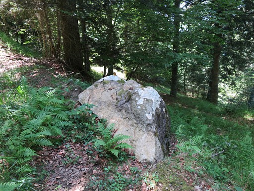
 | But first I check another option. This is the spot on an older French topographic map which is more south of the line 363-365 than can be expected. Unlikely spot due to a probably wrong borderline on the map. But nevertheless I check the rocks around the geodetic pole. Nothing found. (click photo to enlarge) |
 | A more likely spot is here as described above with the rock lying beneath the track. This is approximately at the meeting point of the distances (according to the treaty) of 243m between bm363 and 364 and 143m between bm364 and 365. (click photo to enlarge) |
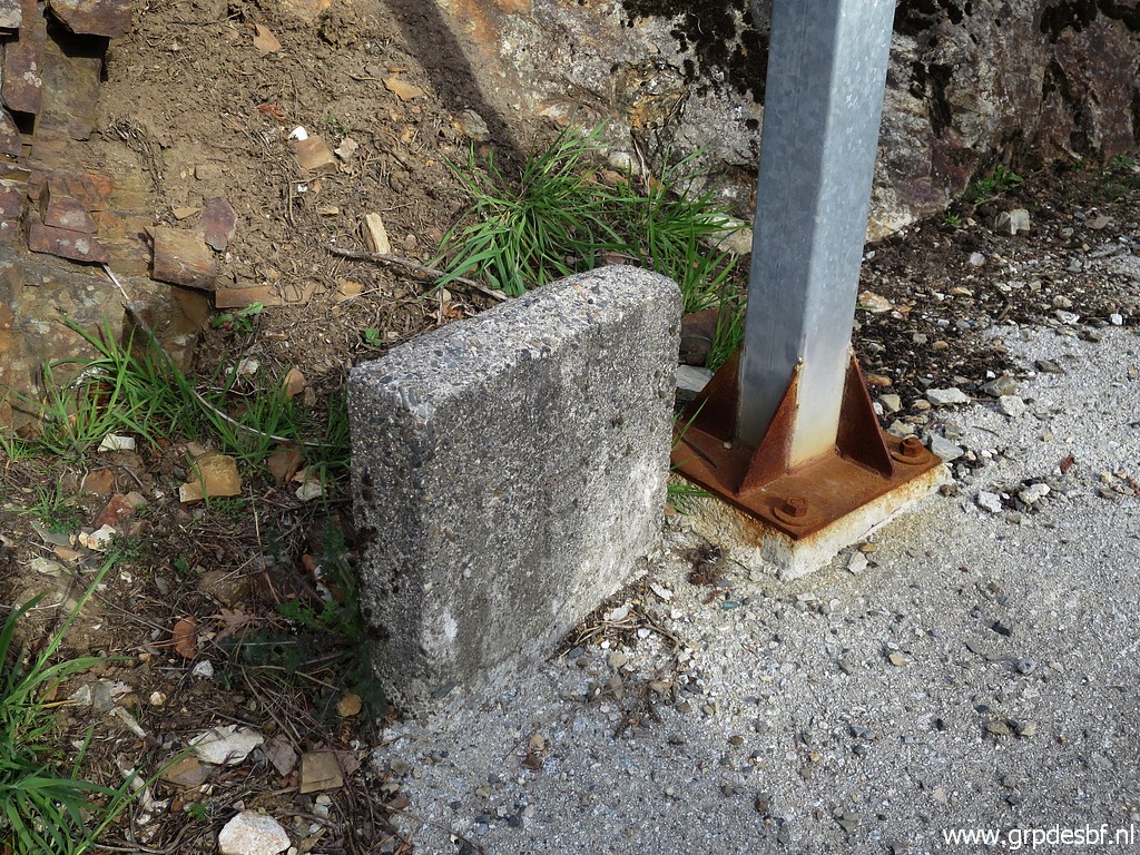
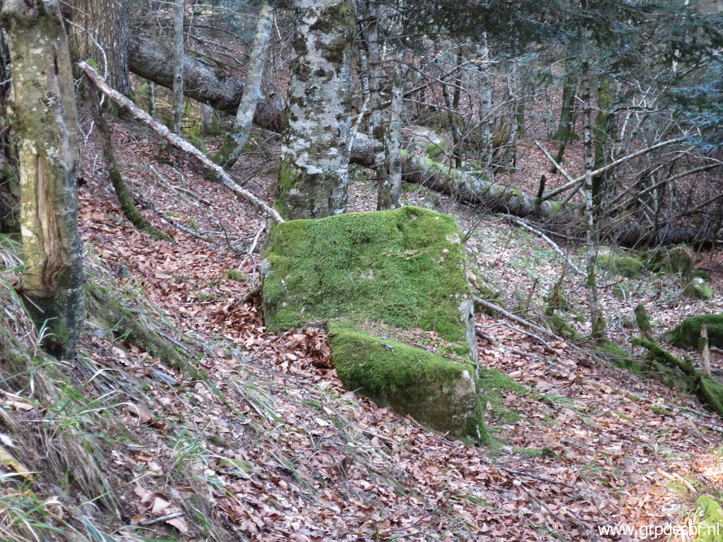 | Same rock. Like in 2015, there is no trace of whatever engraving. But the engraving - in case this is the rock of bm364, tumbled down - might we at the bottomside. (click photo to enlarge) |
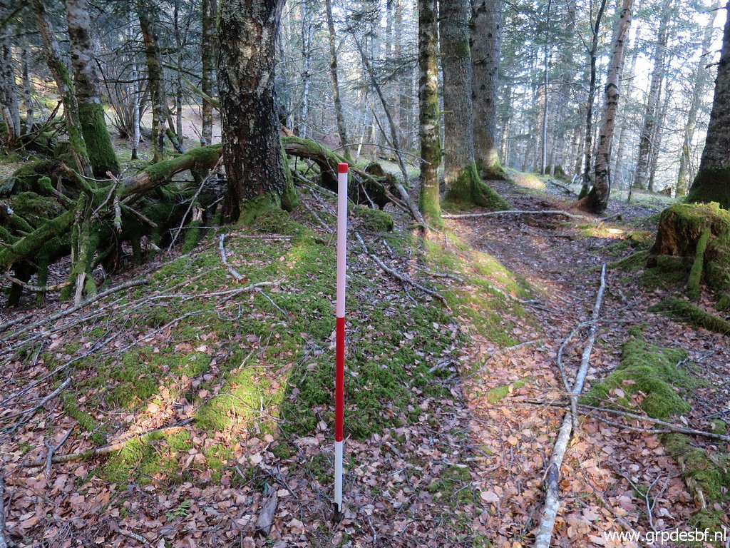
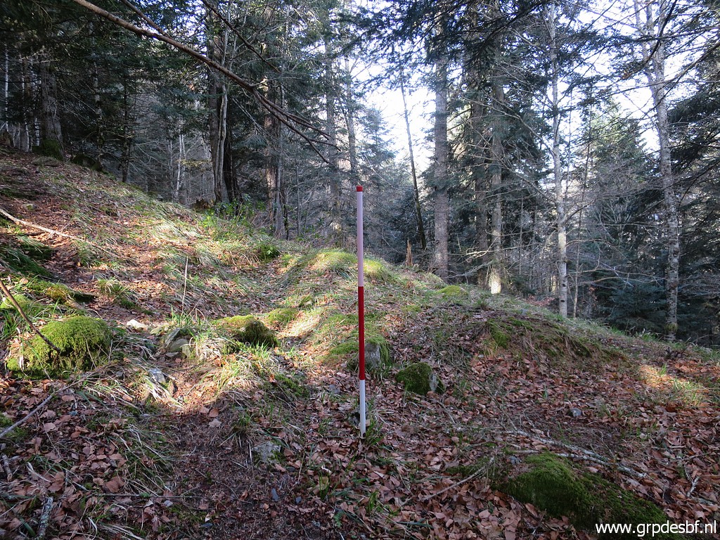 | My gps indicates this (estimated) spot of bm364 which is close to that rock. (click photo to enlarge) |
 | Same position. (click photo to enlarge) |
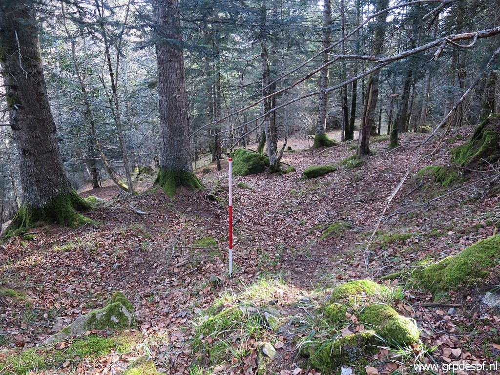
 | And then there is - about 50m further along the trail leading to bm363 - this rock. But that would be too close (± 190m in stead of 243m) to bm363. Meanwhile, Corinne looked out for Hedera, the plant you can see on the old picture of bm364. Also in vain. (click photo to enlarge) We give up, we have fullfilled our duty and return. |
 | First back to bm365. (click photo to enlarge) |
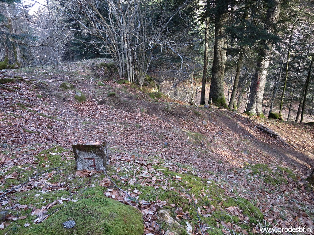
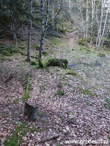
 | From bm365, soon the first intermediate marker appears after ± 40m. So this is no. 1. (click photo to enlarge) We will try to spot as many as we can while returning. Much later, at home, I establish the coordinates of the found markers by matching the gps-track with picture-times with the program GPicSync. It turns out that on our return, we missed some markers (no. 6 and 7), we found while going to bm365. |
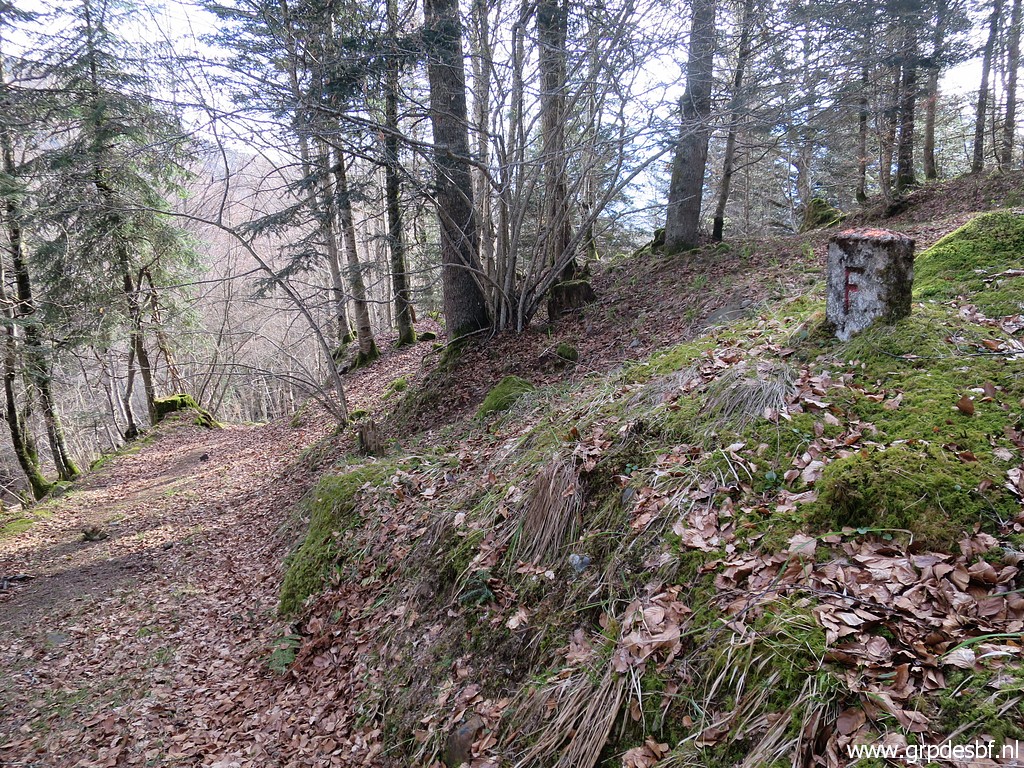 | No. 2 (click photo to enlarge) We know nothing about the origin or date of these intermediate markers. I suppose that they, including the brickstone colums, were placed when Col du Portillon and the roads leading up to it, were enlarged. But when? And there might have been more (originally or now 'in situ') than the 10 markers we found today. |
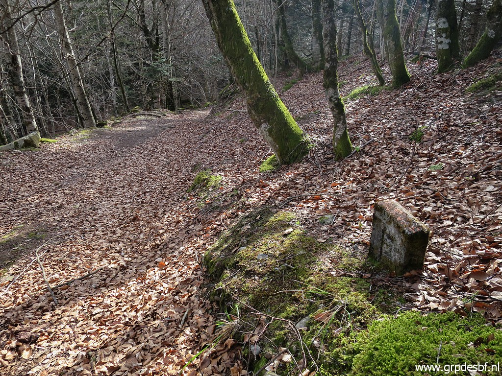 | No. 3 (click photo to enlarge) |
 | No. 4 (click photo to enlarge) |
 | No. 5 (click photo to enlarge) After this one, we miss no. 6 and 7 which we did while going to bm365. |
 | No. 8 (click photo to enlarge) |
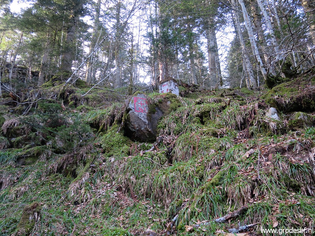
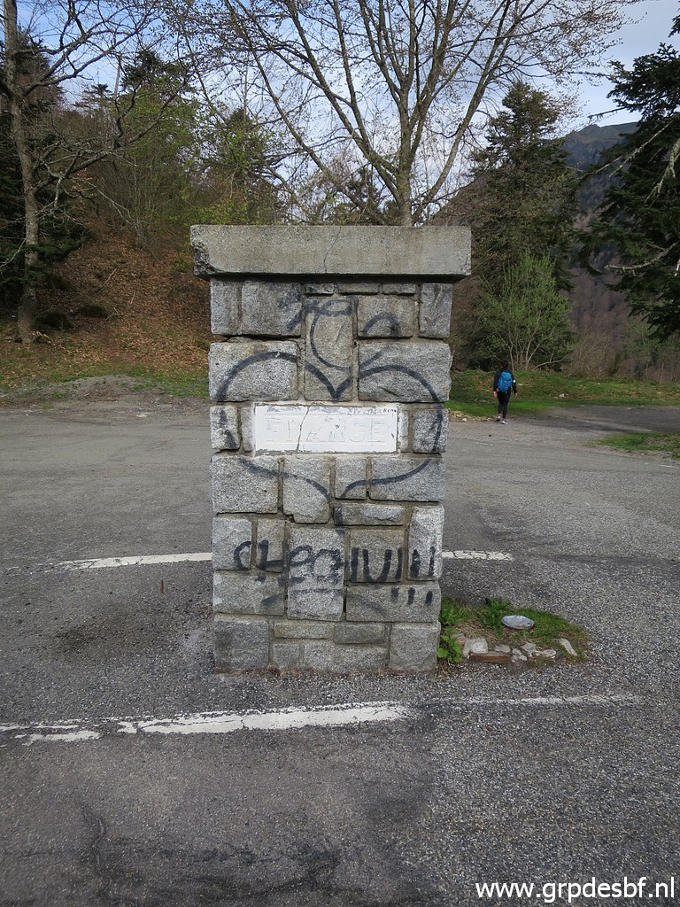
 | No. 9, a triangular shaped column. (click photo to enlarge) |
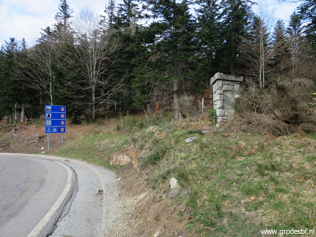 | No. 9 (click photo to enlarge) |
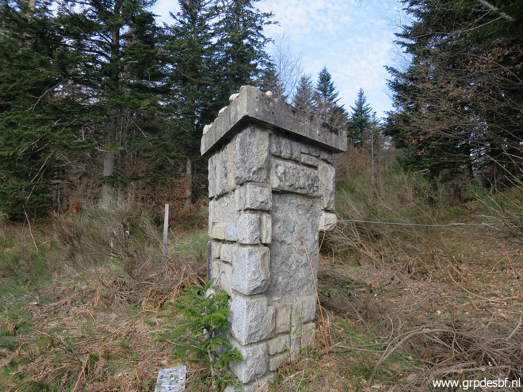 | It has been damaged, the plates with 'FRANCE' and 'ESPAGNE' are missing. (click photo to enlarge) |
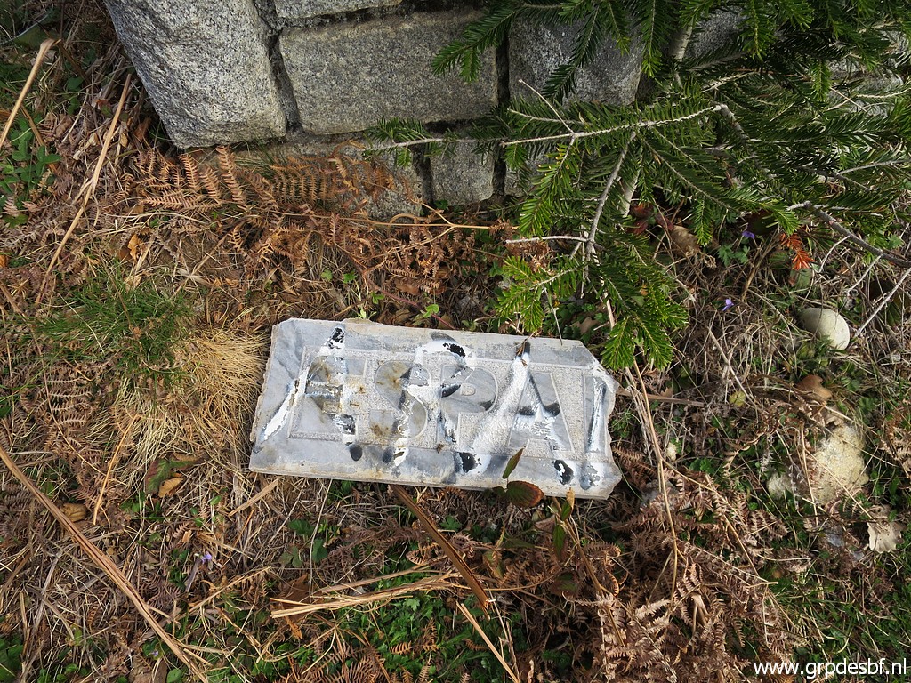 | Though part of the ESPAGNE-plate is lying on the ground. (click photo to enlarge) |
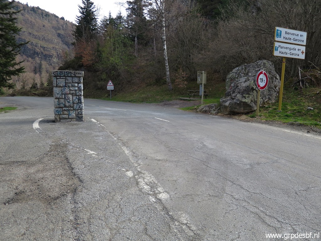
 | No. 10 is along the road leading up to Col du Portillon. (click photo to enlarge) |
 | No. 11 is close to the parking spot on the Col. (click photo to enlarge) |
 | No. 11 (click photo to enlarge) |
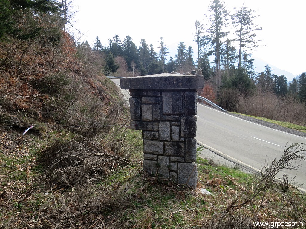
 | Finally - at the Col - no. 12, a square column. (click photo to enlarge) |
 | No. 12 (click photo to enlarge) |
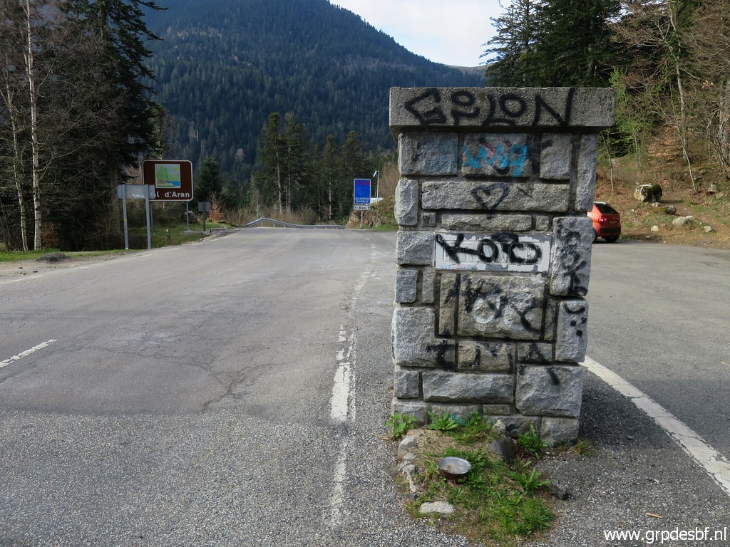 | No. 12 with a lot of graffiti. (click photo to enlarge) |
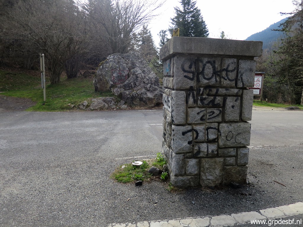 | No. 12 with in the background the rock with bm366. (click photo to enlarge) |
Let's draw a map of these 12 intermediate markers. They are bundled in this gpx-file and this Google Earth-file.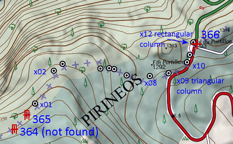 |
|
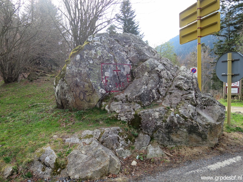 | Bm366 (click photo to enlarge) |
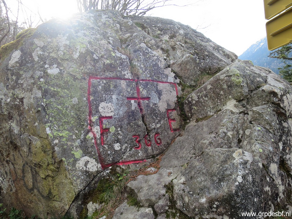 | Bm366 (click photo to enlarge) Then we part, Corinne back home and I drive to the Eastern Pyrenees to |
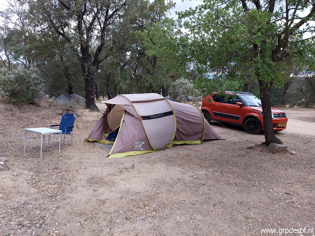 | camping Albera in Capmany above Figueres for a day of rest in very windy weather. (click photo to enlarge) |