|
The
bordermarkers of the Pyrenees : all my trips
 |
|
| -
tuesday 5 september
2023 - Revisiting bm330bis |
 |
 |
Summary:
part of a series of 9 daytrips in september 2023. This is day 5. Today: solo climb to bm330bis, afterwards with Carlos & Conchita descending back to the parking. Weather: sunny Same trip to be seen at Carlos & Conchita's website. |
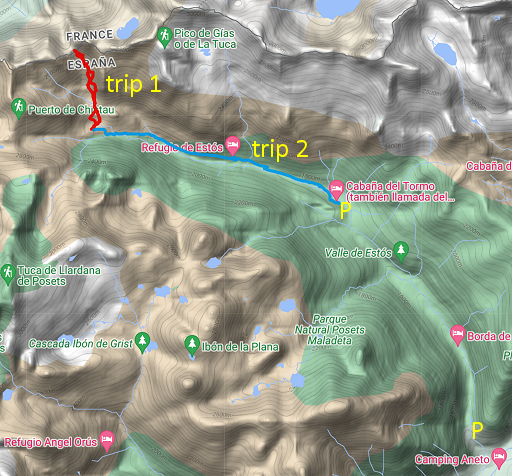
TRIP 1 |
|
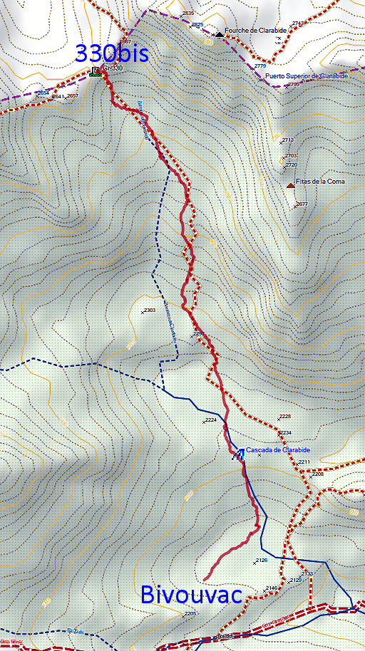
 track-20230905-trip1.gpx
This gpx-track has not been manually corrected which explains the inaccuracy and misalignment at some points. The original elevation recording has been replaced by more accurate DEM-data with Gpsvisualizer.com. For cartographic backgrounds: see the cartography-page Gps-waypoints of all bordermarkers (most recent version): kml: esfr-bordermarkers-all-waypoints.kml gpx: esfr-bordermarkers-all-waypoints.gpx (with reliable elevation data added by gpsvisualizer.com) |
|
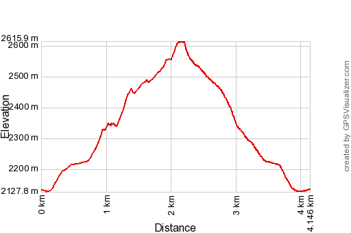 |
According to Garmin
Basecamp (uncorrected track with elevation added by Gpsvisualizer.com): Distance: 4.1 km Max-height: 2616m Min-height: 2128m Elevation: +514m -510m Total elevation: 1024m Start 7:27 Finish 11:15 Total time: 3:48 |
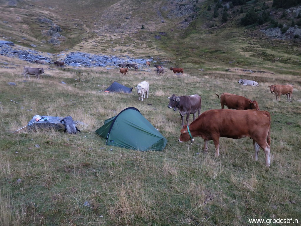 | Early rising, despite the noisy cows (because of their bells), I slept rather wel. But not Carlos and Conchita who had a very bad night because of the noise of the cows and the wind. They feel too tired to climb with me to bm330bis and Carlos comes to tell me so at 6:30. (click photo to enlarge) |
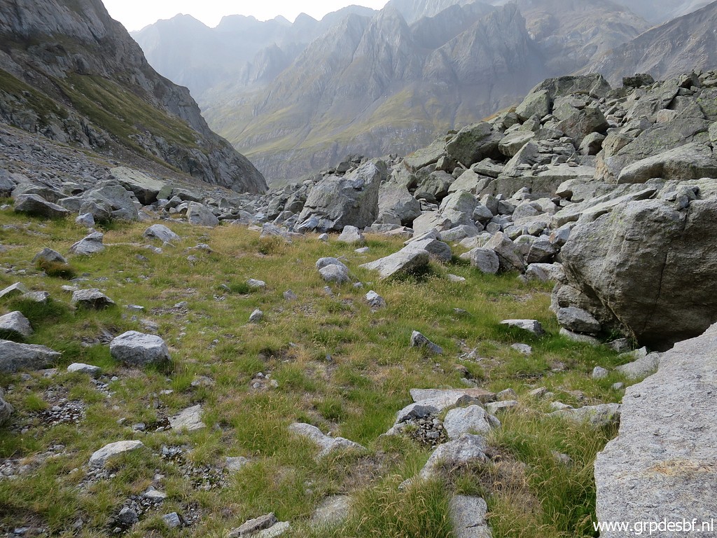
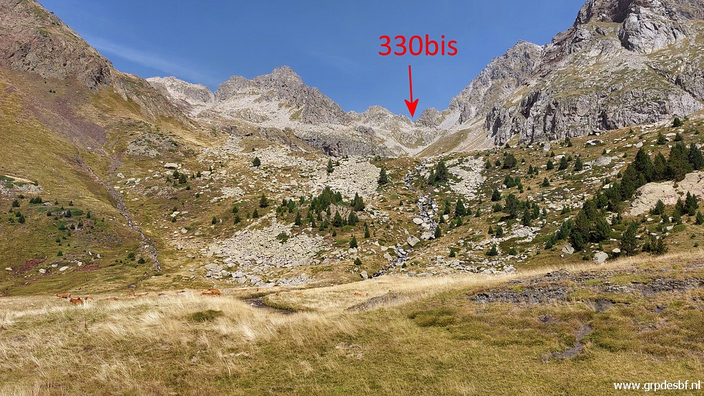
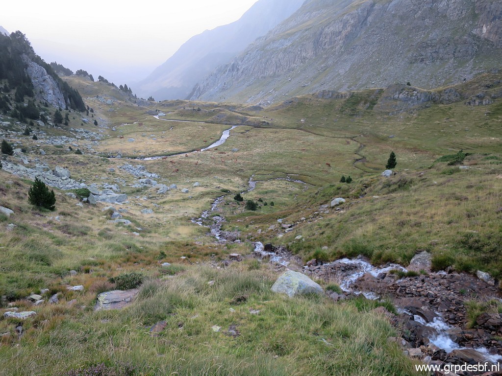 | So I go solo and they will wait. This picture: already climbed to a next plateau, also a nice place for a bivouac. (click photo to enlarge) |
 | Looking forward. (click photo to enlarge) |
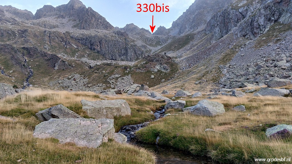
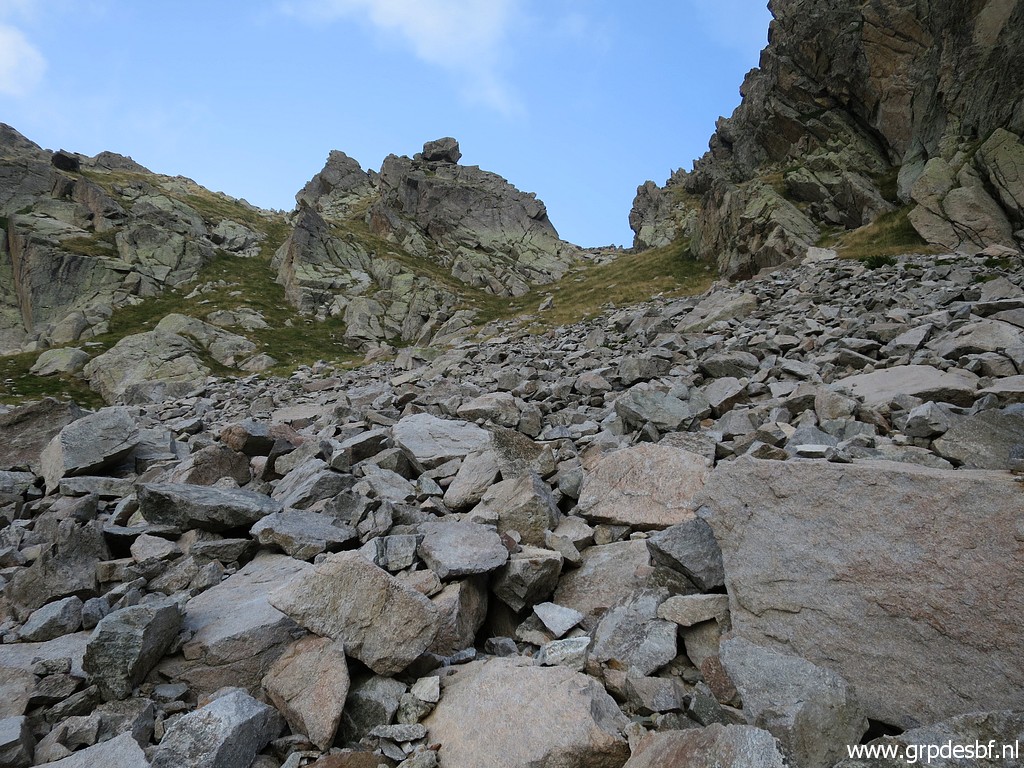
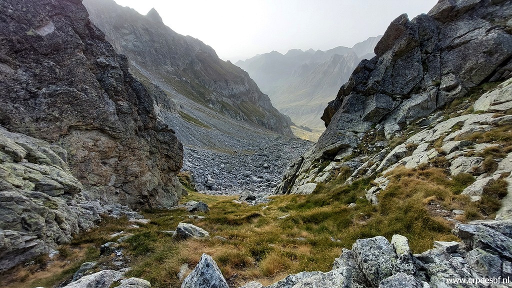
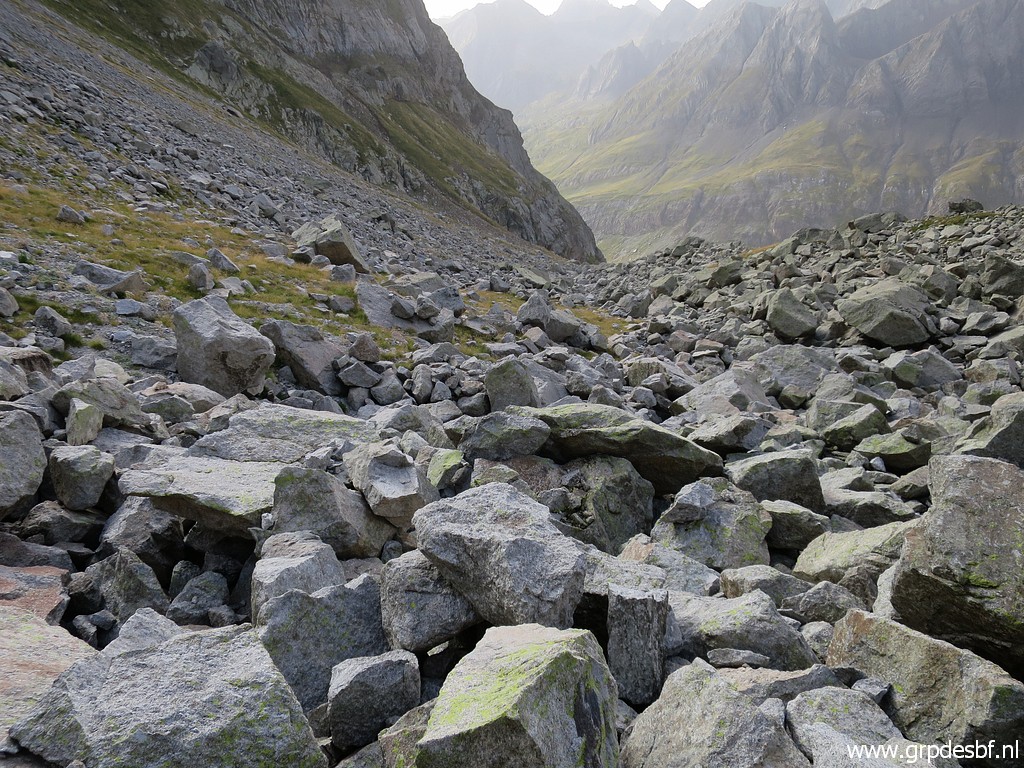
 | I am progressing but I am not content with my intuitive route (click photo to enlarge) |
 | because it bring me too much on these kind of rockfalls. On my way back, my route will be easier. (click photo to enlarge) |
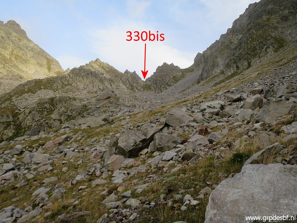
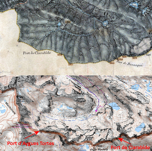
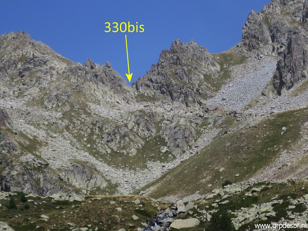
 | Getting closer to the pass of bm330bis, the Port de Clarabide. Spot the loose rock on top of the ridge, that is a good orientation point. (click photo to enlarge) |
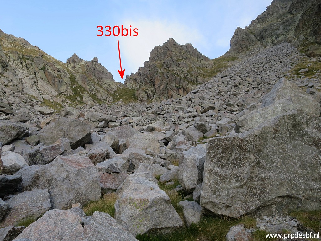
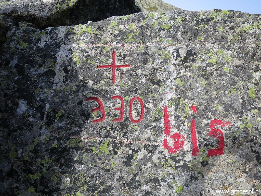
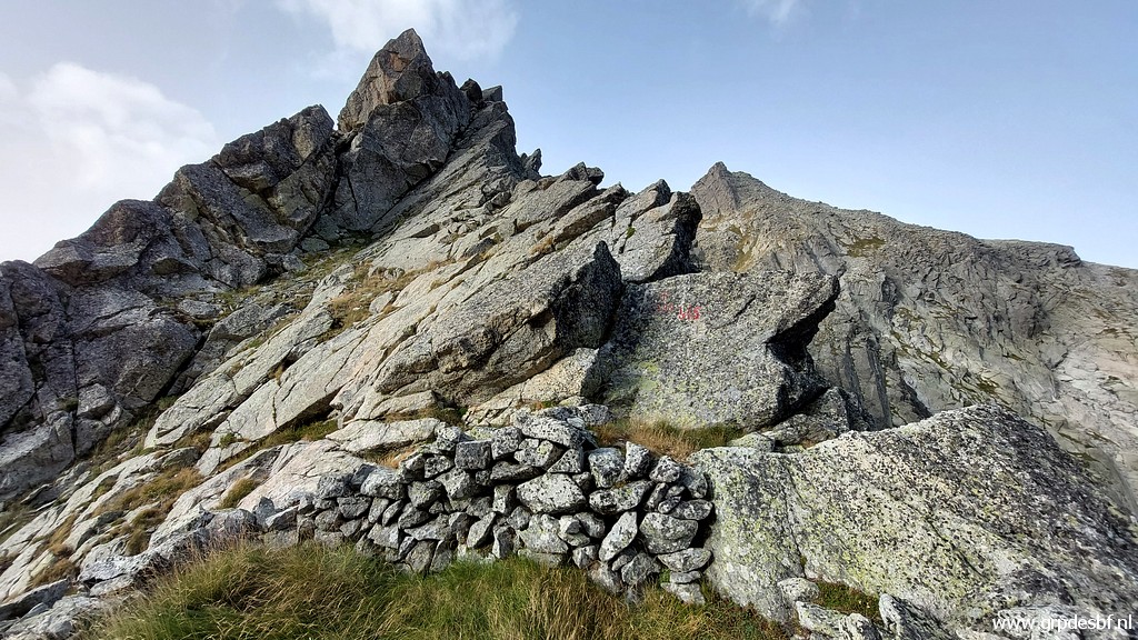
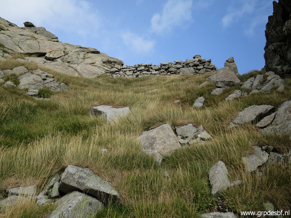 | Almost at the borderpass: a wall has been built as a shelter for the wind from the S. (click photo to enlarge) |
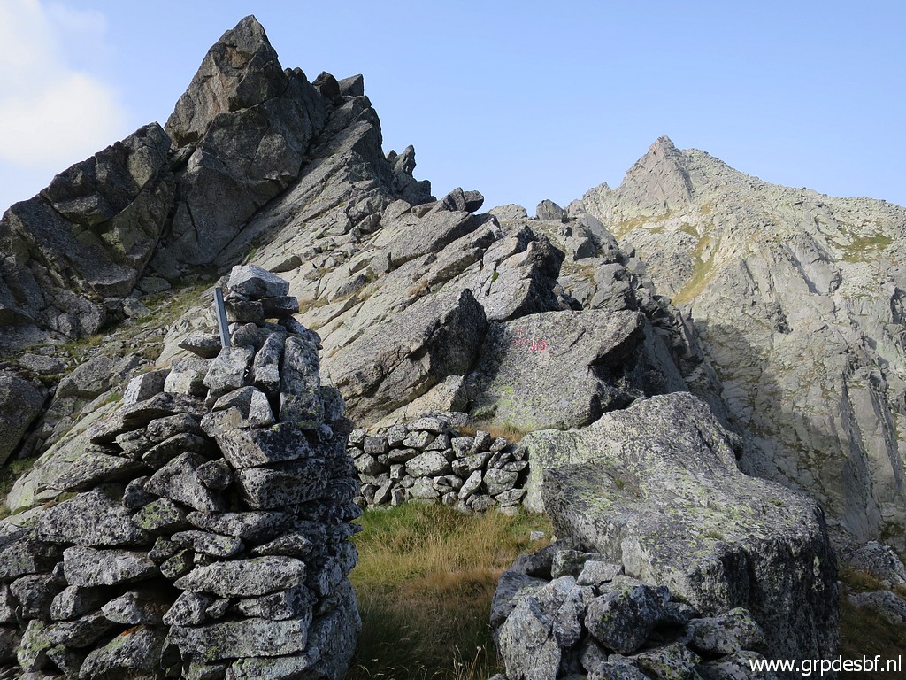 | And there I am, at the pass with its peculiar enclosure with man-built walls, It took me 2 hours to get here. (click photo to enlarge) |
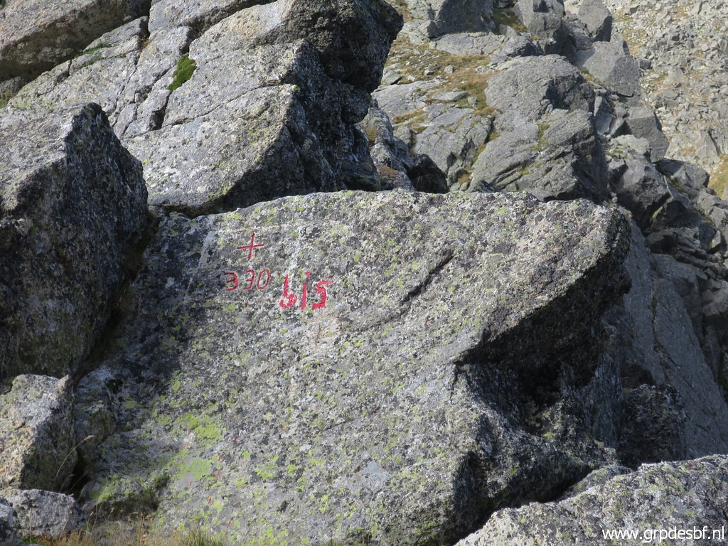 | This is bm330bis. (click photo to enlarge) |
 |
This bordermarker didn't
exist until 2003. In the binational bordercommisson, the Spanish
delegation had reported that bm330 couldn't be found on the Port de
Clarabide. Decided was that a new cross and the number '330' would be
engraved and that happened in 2003. But it was bordercommissoner Jean-Paul Laborie who discovered in 2012 that the original bordercross 330 was on another pass, the Port d'Aygues Tortes which is ± 4km to the W. Old maps show that the current Port d'Aygues Tortes used to carry the name Port de Clarabide, the borderpass mentioned in the treaty. Read also this Blog-post about Jean-Paul's discovery. |
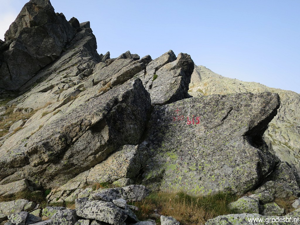 | Subsequently, this bm was rebaptized by me to '330bis'. (click photo to enlarge) |
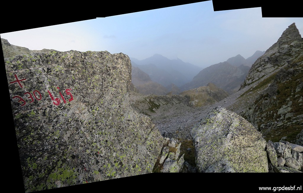
 | Jean-Paul Laborie climbed to Port de Clarabide in ± 2020 to materialize the 'bis' by engraving it. But that proved to be too hard in the granite surface for his engraving equipment. So he just painted it. See this blogpost about his trial. (click photo to enlarge) |
 | The enclosure from above. (click photo to enlarge) |
 | A wide-angle picture of bm330bis. Note the loose boulder at the top of the rock formation. (click photo to enlarge) |
 | Looking into France. (click photo to enlarge) |
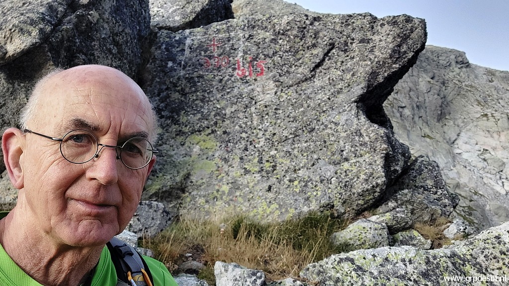 | Selfie (click photo to enlarge) |
 | And a last picture of bm330bis while looking into France. (click photo to enlarge) |
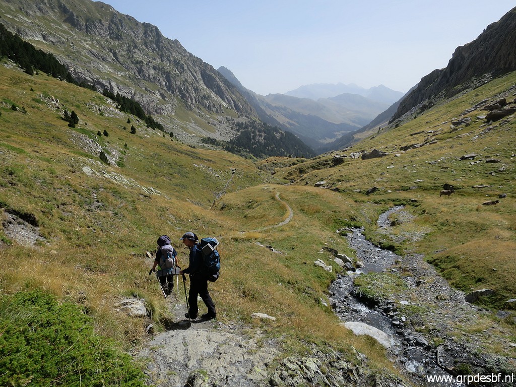
 | Then the descent back starts. (click photo to enlarge) |
 | While going down, it is easier to see the green spots between the rockfall which makes descending easier by connecting them. (click photo to enlarge) |
 | Sometimes there are cairns to help you. (click photo to enlarge) |
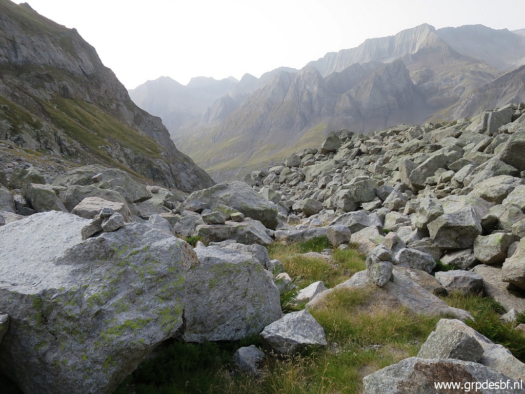
 | Having arrived at a more easy terrain to descend. (click photo to enlarge) |
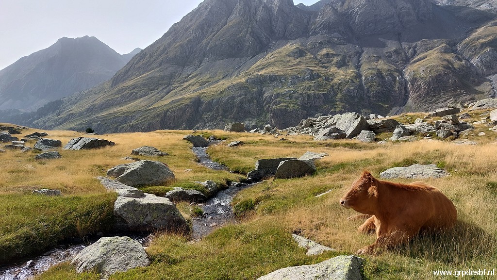 | I
am back at the second plateau where a cow is meditating about all
this bordermarker-fuss. Cows don't care about borders. (click photo to enlarge) |
 |
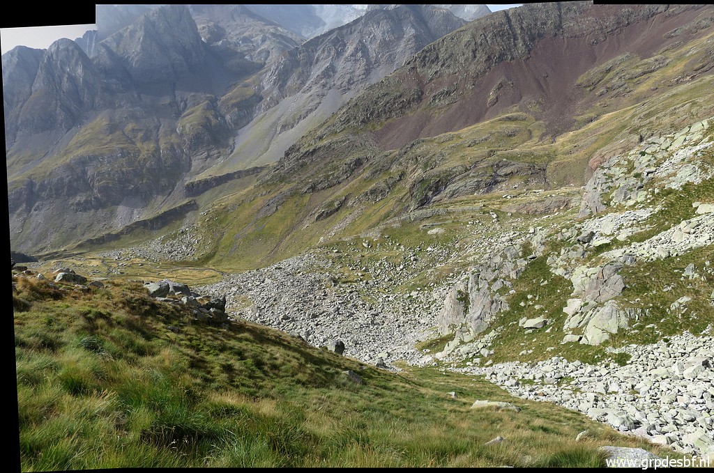
Conclusion:
while descending from bm330bis, wayfinding is quite straightforward by
focussing on the green open spots in the rockfall and connect them. But those green spots are not obviously visible when climbing to bm330bis. So - when ascending to bm330bis - it is better to follow the gpx of my return which is largely similar to the track we see on Topopirineos and on OsmAnd. |
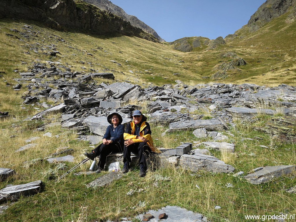 | I
meet Carlos & Conchita again, they had a pleasant morning while
taking breakfast, packing their tent and waiting for my return. (click photo to enlarge) |
 | A last view back to bm330bis (click photo to enlarge) |
 | with this zoom-in. I pack my tent and it's time to return. (click photo to enlarge) |
TRIP 2
 track-20230905-trip2.gpx This gpx-track has not been manually corrected which explains the inaccuracy and misalignment at some points. The original elevation recording has been replaced by more accurate DEM-data with Gpsvisualizer.com. For cartographic backgrounds: see the cartography-page Gps-waypoints of all bordermarkers (most recent version): kml: esfr-bordermarkers-all-waypoints.kml gpx: esfr-bordermarkers-all-waypoints.gpx (with reliable elevation data added by gpsvisualizer.com) |
|
 |
According to Garmin
Basecamp (uncorrected track with elevation added by Gpsvisualizer.com): Distance: 5,6 km Max-height: 2133m Min-height: 1740m Elevation: +57m -449m Total elevation: 506m Start 12:18 Finish 15:39 Total time: 3:21 |
 | So we start to descend (click photo to enlarge) |
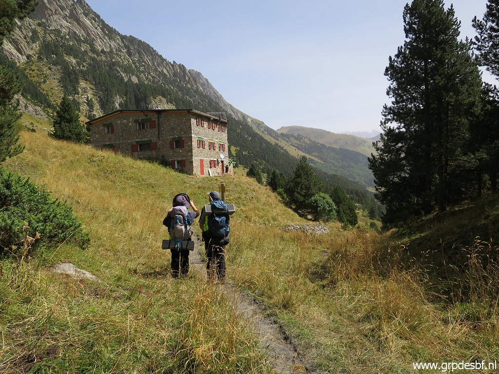 | to Refugio d'Estos where we will enjoy a lunch. (click photo to enlarge) |
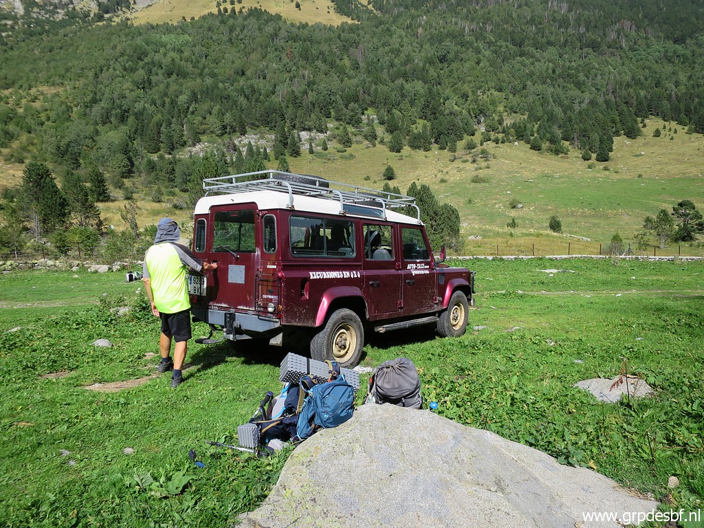 | At
the end of the trail, where the dirtroad starts, we have some time to
rest before our 4x4 taxi arrives to take us down for the last bumpy 6km
to the main parking. (click photo to enlarge) |
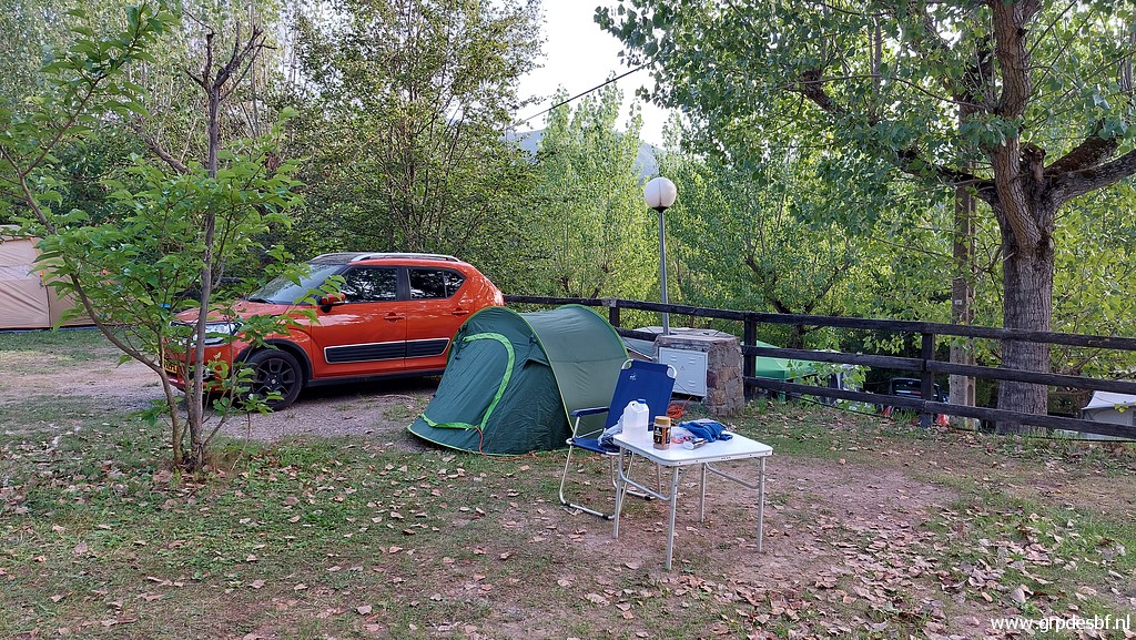 | We say goodbye and I drive to camping Alta Riborgorca in Les Bordes, half way to Vielha. I am exhausted and a bit sick. Going to bed at 21:00 but sleeping badly. (click photo to enlarge) |
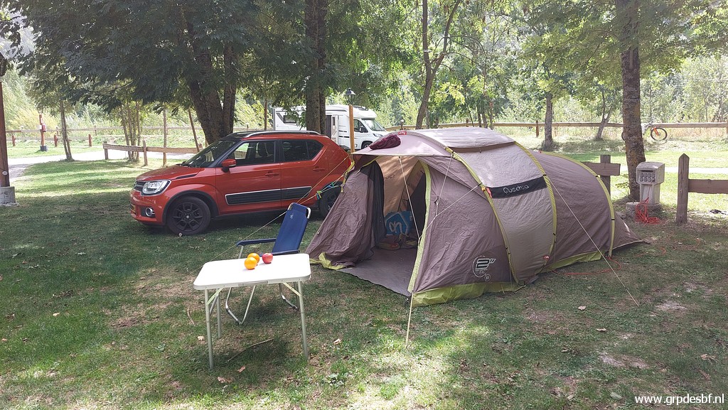 |
The next day, I drive to camping Era Yerla in Arthies and have a day of rest, recovering from my sickness. |