The bordermarkers of the Pyrenees : all my trips  | |
| -
25 august
2006 - Montgarri |
 |
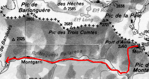 |
Trip-summary. Part of 7-days trip from Alós de Isil to Canejan, exploring the bordermarker-range bm422 - bm411. Day 2: from Pont Perosa to Col d'Aula (bm421) to Montgarri. - walking time: 6½ h - cum. elevation gain : ± 1050 - cum. elevation loss :± 750 - total elevation: ± 1800 m |
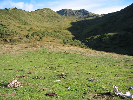 |
From my camping spot above Pont de Perosa, I climb in 2 hours to Col d'Aula on a red/white waymarked trail. Weather: clear skies. |
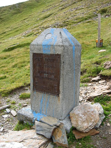 |
At the col - with splendid views on both sides - there's a cross as well as a pillar bm421 Coordinates N42 46 22.8 E1 4 56.5 |
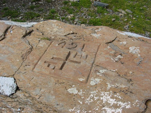 |
Additional information from Charles Darrieu in 2011: the cross on the horizontal rock is the original and official bordermarker. |
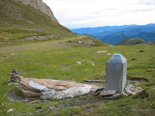 |
The
pillar besides it was placed somewhere between 1949 and 1998 by the
border commisioners Jean Sermet and his Spanish colleague M. Alija. Because this col can be reached by a mountain road from Spain, they decided to indicate the borderline better with this pillar. |
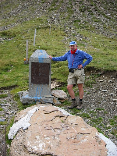 |
But it's not an official bordermarker. (source: "De quelques questions touchant l'Abornement frontalier 1949-1998" - Jean Sermet) |
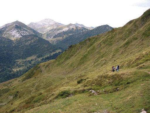 |
I descend back to Pont de Perosa in 1½ h. and from the Pont it's 2½ h walking to Montgarri. This picture: while descending to Pont de Perosa. |
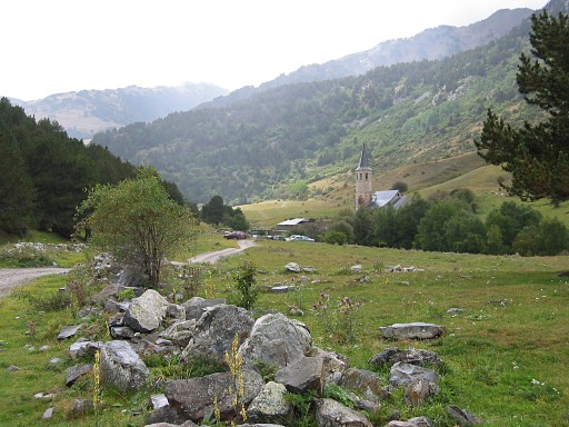 |
It starts to rain and in Montgarri it's pouring. There's sort of festival in that nice hamlet and I take a break for a coffee. |
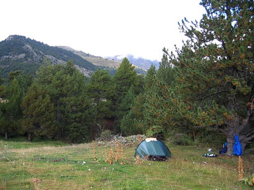 |
And then - about
half an hour beyond Montgarri but± 10 minutes before Cabana de Parros -
I find this camping spot. Height: ± 1800 m. |