The bordermarkers of the Pyrenees : all my trips  | |
| -
26 august
2006 - Meeting a French family |
 |
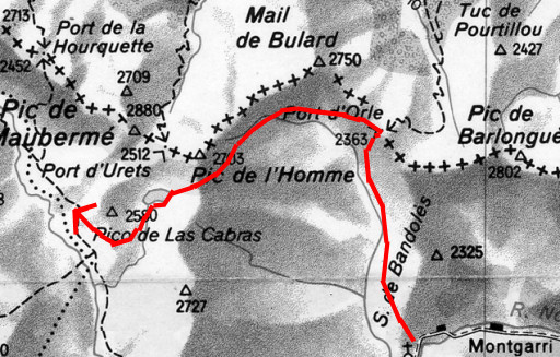 |
Trip-summary. Part of 7-days trip from Alós de Isil to Canejan, exploring the bordermarker-range bm422 - bm411. Day 3: from Montgarri to Port d'Orla (bm420) to Pla de Tor. - walking time: 8 h - cum. elevation gain : ± 700 m - cum. elevation loss : ± 700 m - total elevation: ± 1400 m |
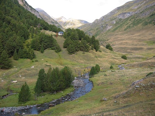 |
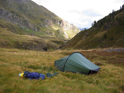
A gradually climb from my camping spot (± ½ km E of Cabana de Parros). Note: on the Spanish map there's trail indicated from this Cabana to the col but that one disappears later (apparently). You need to take the trail from the ruines of Es de Cabau - which is waymarked. That one takes you in 2½ h to |
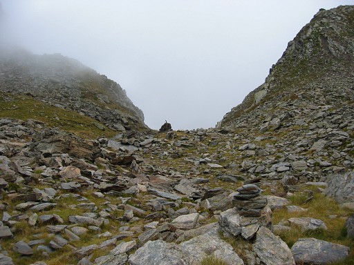 |
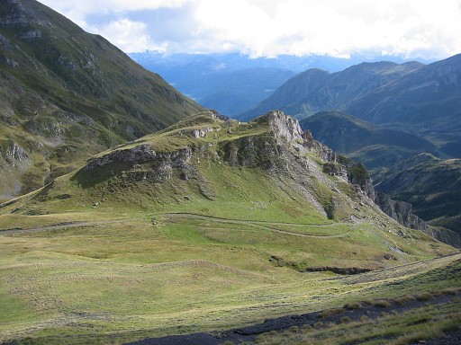
Port d'Orla with bm420 Thr actual col seems to be a bit further but is in fact lower. Two meters besides bm420 there 's a pillar of stones with a metal pole sticking out. Is that the 'oratoire' from the Procès-Verbal? |
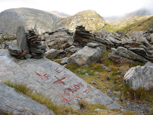 |
Bm420 Coordinates: N42 47 07.5 E0 58 26.3 Height: 2318 m |
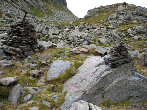 |
Bm420 |
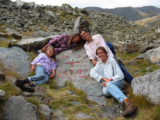 |
And this is the French family I met. They were making a loop from their home-village across the border and back. When I later sent them this picture, the mother replied in Dutch! She - as a native Dutch woman - had married a Frenchman and together raised their children in the Pyrenees. |
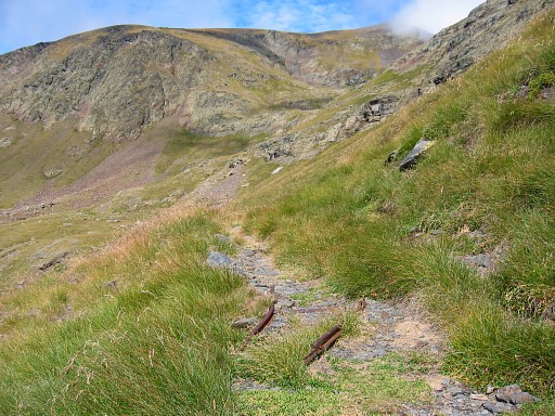 |
I descend to the west on this trail wich is apparently an old narrow gauge railway, used for mining. |
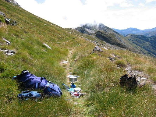 |
Further along that trail, I remember this lunch spot well. Nice weather, splendid view, silence. |
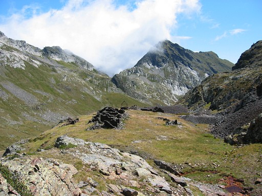 |
I pass along these ruined mining buildings and walk in 4.14 h |
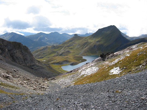 |
to Lac de Montoliu (on this picture). That required searching and using compass and pda because the waymarkings disappeared. Could be tricky in bad weather and limited view. By the way: from this Lac de Montoliu there's a direct route to Port de Horqueta. But I found it to cold to camp near the lake, and descended |
 |
along a dirtroad in 1.15 to |
 |
Plan de Tor to camp. |