The bordermarkers of the Pyrenees : all my trips  | |
| -
28 august
2006 - Dining with the shepherd |
 |
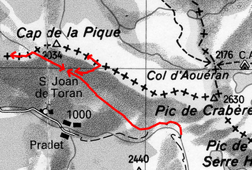 |
Trip-summary. Part of 7-days trip from Alós de Isil to Canejan, exploring the bordermarker-range bm422 - bm411. Day 5: from Ria Torán to the cabin of la Trauès, from there searching in vain bm419 and doing bm416 and bm415. - walking time: ± 8 h - cum. elevation gain : ± 550 m - cum. elevation loss : ± 400 m - total elevation: ± 950 m |
|
From my camping-spot I continue on the
path to the west. Further on there's a branch going uphill to Pas dera
Poterla, waymarked only by a few cairns and a vague trail. Later on, the
trail gets more disticnt with cairns and blue waymarks. It leads first to a cabane (Cabane le Plan) on a flat upper part. This picture is taken at the cabane looking east. Move the mouse over the picture to see directions. The possible shortcut is something I discovered in 2011 in Google Earth. It deserves an exploration. |
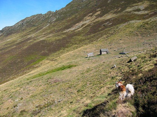 |
From the cabane you have to
follow cattle tracks in the direction of Pas dera Poterla. Stay above
the trees. A next cabane (the Cabane de la Trauès) appears. The shepherd - Roger - is hospitable and tells me where to find bm417: on the ridge above the cabane (if I understood him well) |
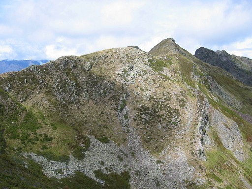 |
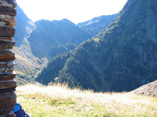
I
can leave my backpack at the cabane and climb with difficulty to
the ridge, east of the cabane. There's a solitary tree at the ridge as
a focus and the last part is allmost too steep. I follow the ridge to the west but can't find a bordermarker. Going east is impeded by incoming clouds. This picture: probably looking east along the ridge. Back at the cabane, Roger explains me that bm417 must be on Pic de Houradic. I'll try again tomorrow. |
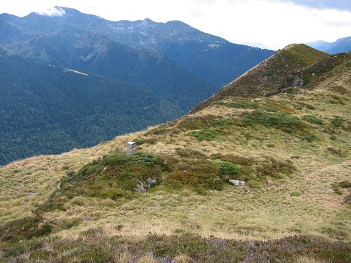 |
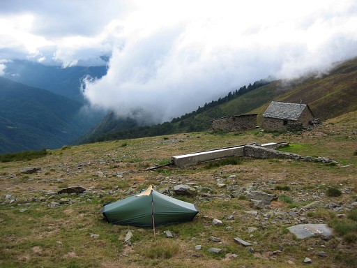
Roger
invites me to pitch my tent near the cabane. There's running water here
and further on - beyond bm415 - dwells a bear, he tells me. After pitching my tent, I walk to Pas de Poterla. That pass is actually SW of where the trail from the cabane passes the ridge. You can already spot bm416 on this picture. |
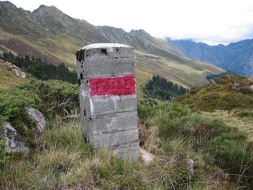 |
Bm416 Coordinates N42 50 14.1 E0 47 30.9 |
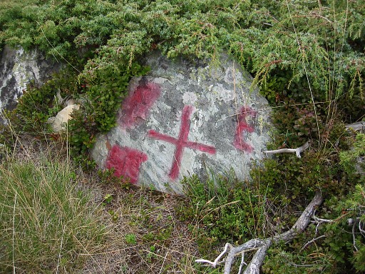 |
This is the adjacent cross. |
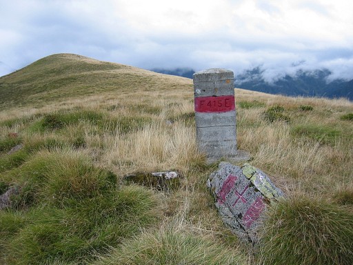 |
Further on at 1½ km: bm415 : pillar and cross Coordinates N42 50 11.9 E0 46 34.0 Then I return to the cabane. It's difficult walking on the grassy slope. Fogbanks drift along. |
 |
At night I'm invited at the shepherd's dinner: eating pasta with canned fish and drinking wine. It's a treat after my austere meals sofar on this trip. And Roger tells me a lot about his life as a shepherd and how things went in the past. |
