The bordermarkers of the Pyrenees : all my trips  | |
| - 18 april
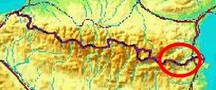
2007 - Crossing the Rio Muga |
 |
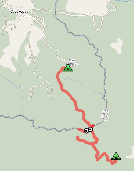 |
Trip-summary. Part of a 6 day's trip with Jan-Willem, exploring the bordermarkers around Coustouges and Lamanère: bm521-541. Day 1: coming from Spain we cross the Rio Muga and via bm540 and bm539 proceed to Can Damoun. |
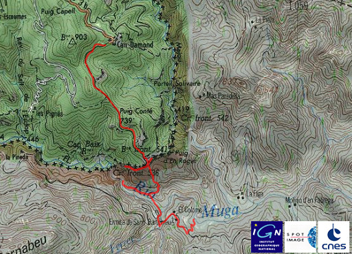 | esfr-trip-track-20070418.kml (opens in Google Earth) En route: 10.30-17.00 Positive elevation: ± 400 m |
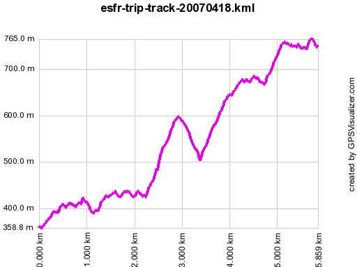 | Gpx-view.com: Distance : 5.854 km Altitudes : Maxi 765 m Mini 359 m Dénivelées : ~ +446 m -112 m cumulative 558 m |
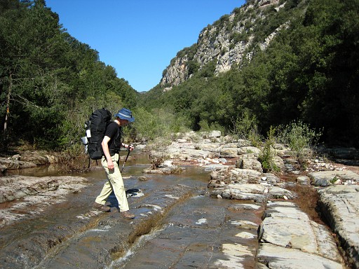 |
The previous day we have walked from Albanya to near the San Bartomieu chapel. There's a dirtroad - blocked by a chain - descending to La Muga and we camped on a field besides the river. Today we started at 10.30 and walked past the church, spotting ± 200 m further a yellow waymarked trail that descends to La Muga and crosses it. This picture: Jan-Willem crossing the river. |
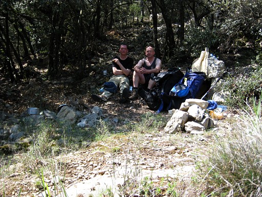 |
We
miss a waymark and first follow a trail leading along and above La Muga
which ends in the riverbed. Perhaps it's possible to reach bm536 via
the riverbed, we don't know and didn't try. We return and continue on the yellow trail where we lost it earlier. It climbs steeply. This picture: taking a break. |
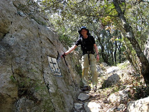 |
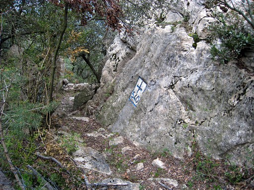
The trail finally arrives at bm540, Jan-Willem poses. Coordinates N42 20 27.6 E2 40 19.0 |
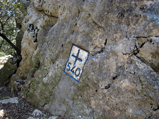 |
Bm540 |
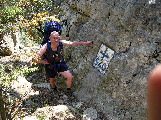 |
Bm540 with me |
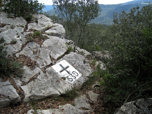 |
We give it a try to bm541 but the trail along the ridge/cliff ends in the bush. We try the other side of bm540: there's a trail over the ridge/cliff descending to bm539. Coordinates N42 20 26.4 E2 40 14.7 We descend further to bm538 wich should be at 300 meters but we can't find it. |
 |
Because of the time and approaching thunder we return to bm540. |
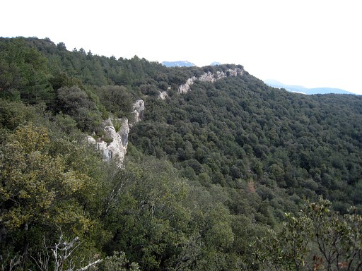 |
This is a view along the bordercliff from approximately bm540 to bm541. |
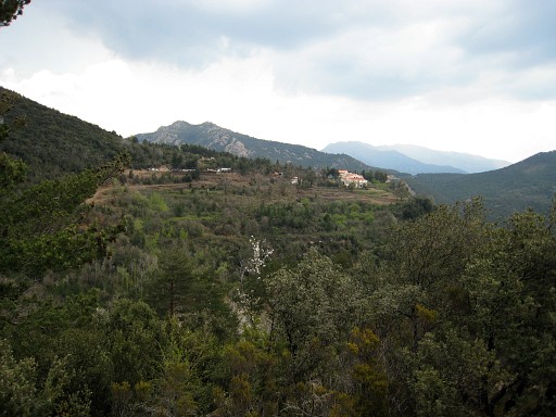 |
We walk to Can Damoun (also spelled as Can d'Amunt or Can Damond), a hamlet seen here in the distance, |
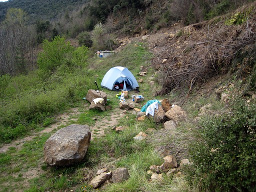 |
and find a camping spot just before the hamlet, a waterreservoir is available (in the background). |