The bordermarkers of the Pyrenees : all my trips  | |
| - 27 august
2007 - Up the mountain and back |
 |
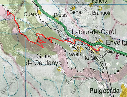 |
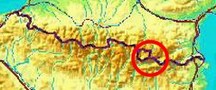
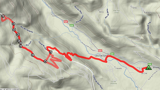
Trip-summary. Kml: esfr-trip-track-20070827.kml (click to open in Google Earth or copy link to Google Maps) Part of two trips in the Cerdagne, starting from Enveitg. Day 1: a roundtrip to bm438, covering bm444-438. |
 |
En route: 08 - 17.15 (9 hours) Time walked: ± 8 uur According to my watch: cum. positive elevation: 788m cum. negative elevation: 748m total elevation: 1536m max. altitude: 1869m min. altitude: 1224m |
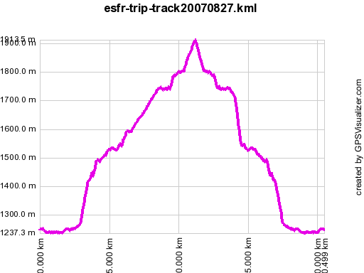 |
According to gpx-view: Distance : 20.473 km Altitudes : Maxi 1914 m Mini 1237 m Denivellation: +572 m -574 m |
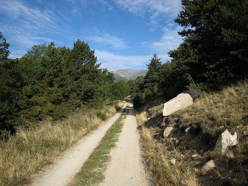 |
Splendid weather, very quiet in the forests, didn't meet anyone. I walk via Tour de Canot, follow a 'yellow' trail uphill and then this dirt-road, leaving it to find |
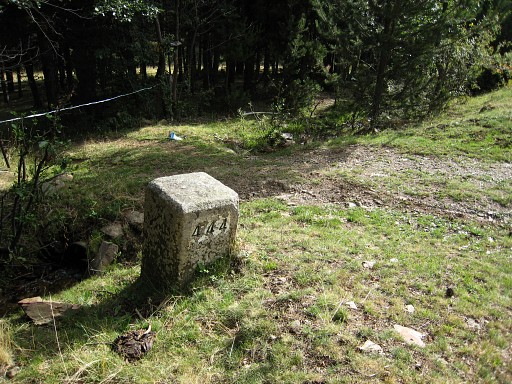 |
Bm444 From this bm you can climb straight ahead (steeply) on a corridor in the forest to bm443. Or (what I did): taking - a little higher - a forest-road to the left which brings you to a tarmac road which brings you to bm443. |
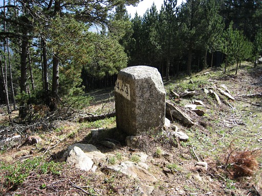 |
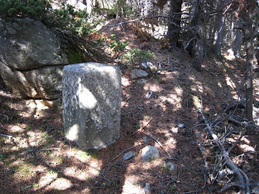
Bm443 Coordinates: N42 27 45.5 E1 51 34.8 H1715m |
 |
Bm443 with the straight corridor to bm444. On my return I will descend through the corridor. |
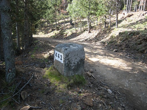 |
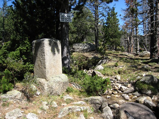
Where the tarmac road bends to the left, go straight ahead on the dirt-road to Bm442 Coordinates N42 27 54.1 E1 51 12.2 H1739m |
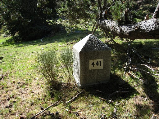 |
Later on, I leave the dirt-road and find bm441, looking quite new Coordinates: N42 28 05.8 E1 50 51.0 H1732m Just beyond this bm, I cross |
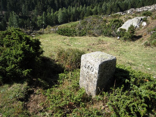 |
a tiny stream and traverse N a fenced meadow up to a hill, about 100m to bm440 Coordinates N42 28 09.9 E1 50 50.7 H1758 Then in between rocks in NNW-direction on a sort of trail which becomes a better trail later on. |
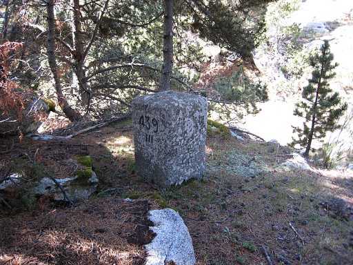 |
Bm439III, inconspiciously on a small hill along the trail. Coordinates: N42 28 13.0 E1 50 47.9 H1756m |
 |
Bm439II Coordinates: N42 28 21.2 E1 50 46.1 H1796 The trail becomes more vague, then more of a stream until |
 |
Bm439I Coordinates: N42 28 27.6 E1 50 39.5 H1804 The trail is still easy to follow, now with a rocky surface and brings me to |
 | bm439, on a nice spot where two streams merge. Coordinates: N42 28 35.2 E1 50 38.2 H1793m Navigating now becomes less straigtforward. If you continue NW, you'll reach a dirt-road which brings you with a bend back at the border. Or ignore the bend and go straight NW and reach the road again. |
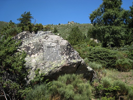 | Bm438 Coordinates: N42 28 45.6 E1 50 19.5 H1899m It's located about 30m S of the dirt-road / trail with the cross facing SE. Note: my Pda/gps locates the borderline more to the east with another distinct triangular rock where one would expect bm438. From here the borderline climbs steeply through the broom but looking manageable. I return, it's 1pm, taking a break at bm439. |
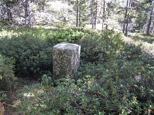
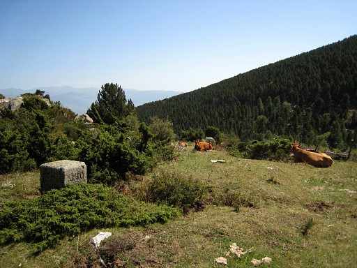 | Bm440, again. |
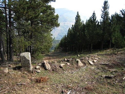
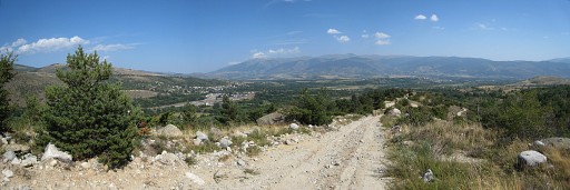 | This panorama: looking over Cerdagne. |
|
| |