|
The bordermarkers of the Pyrenees : all
my trips
 |
|
| -
3 april
2008 - Hostal de la Muga revisited |
 |
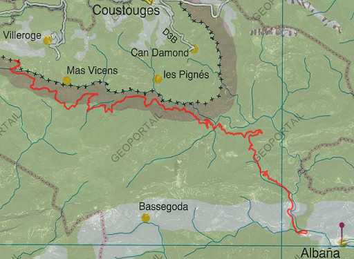 |
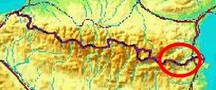
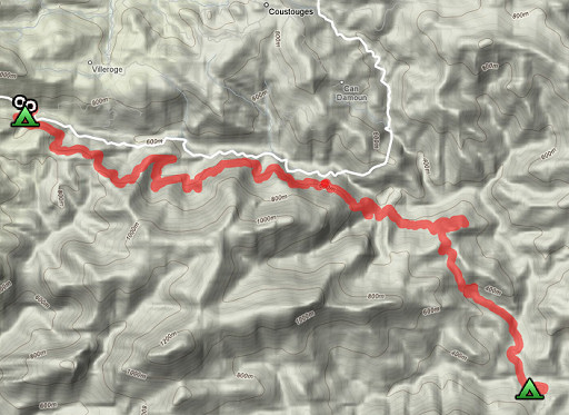
esfr-trip-track-20080403.kml (click to open in Google Earth or copy link to Google Maps) Part of a 8-days backpacking-trip in the eastern Pyrenees with Jan-Willem, roughly covering the area bm528 - bm575 and bm600 - 601bis. Day 1: walking from the camping in Albanya to Hostal de la Muga and doing a short climb to bm533. |
 |
For
explanation of the gps-coordinates and other cartographic backgrounds: see my cartography page |
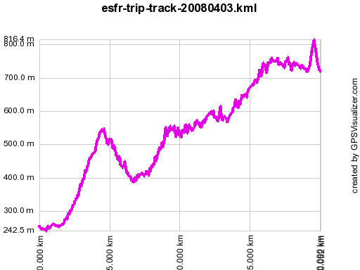 |
Cum. elevation gain:
1013m Cum. elevation loss 506m Total elevation: 1519m Totaal 1519 According to gpx-view Distance : 20.03 km Altitudes : Maxi 816 m Mini 243 m Dénivelées : ~ +814 m -509 m |
|
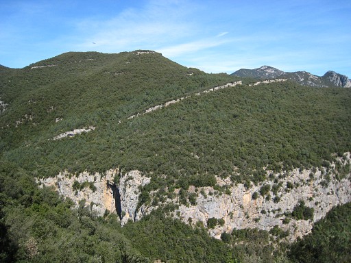
We have reached the Muga-valley and are close to the border. This picture gives a nice view of the rocky ridge which constitutes the borderline between bm538 to bm541. Move the mouse over the picture to see the approximate places of the bordermarkers. |
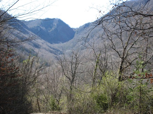 |
We're on our wasy to
Hostal de la Muga. The winding road along and above the Muga will further on
descend to the Muga and the Hostal. This is a view ahead along the valley of the Muga. In the far distance the steep beginning of this river. |
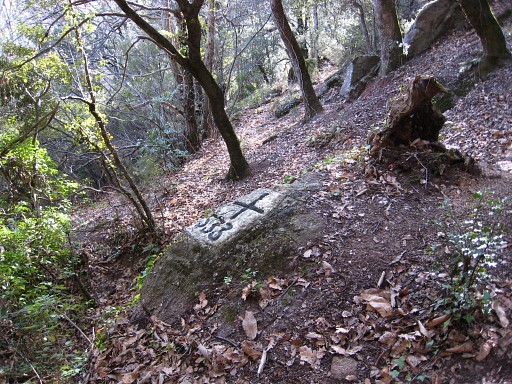 |
Bm533 Near Hostal de la Muga 17.15-18.30 I try to find bm528 and bm529. However, above bm533 I'm soon trapped in the bush. Last year I could find bm532 much more easily. |
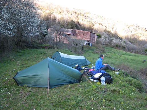 |
JW stayed at our tents, in the background the abandoned Hostal de la
Muga. It's a mysterious place: beautiful, deserted & intensely quiet. |
