|
The
bordermarkers of the Pyrenees : all my trips
 |
|||||||||||||||||||||||||
| -
5 april
2009 - Unexpected submarkers |
 |
||||||||||||||||||||||||
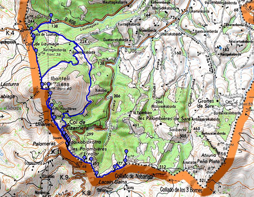 |
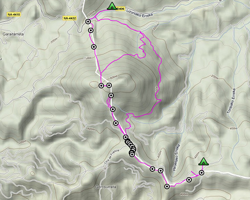
esfr-trip-track-20090405.kml (click to open in Google Earth or copy link to Google Maps; click right on this link to download gpx-version) Trip 1: Solo-trip along the borderline from bm036 until bm040 and back along a yellow waymarked path to the tents where Jan-Willem waited. Trip 2: Together to Col de Lizarrieta and covering bm041 to 050. Stumbled upon submarkers bm044a to 044l. Weather: foggy morning, later on nice sunny spell's, in the afternoon more cloudy, more wind, colder. All day: wide and nice views, the trails and beech forests beautiful. We could still see La Rhûne, way back behind us. |
||||||||||||||||||||||||
 |
For explanation of
the gps-coordinates and other cartographic backgrounds: see my cartography page According to my watch:
| ||||||||||||||||||||||||
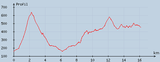 |
According
to visugpx - distance : 16.36 km - cum. elevation gain : 1075 m - cum. elevation loss : 777 m - total elevation: 1852 - altitude maxi : 638 m - altitude mini : 159 m - altitude average : 372 m |
||||||||||||||||||||||||
 |
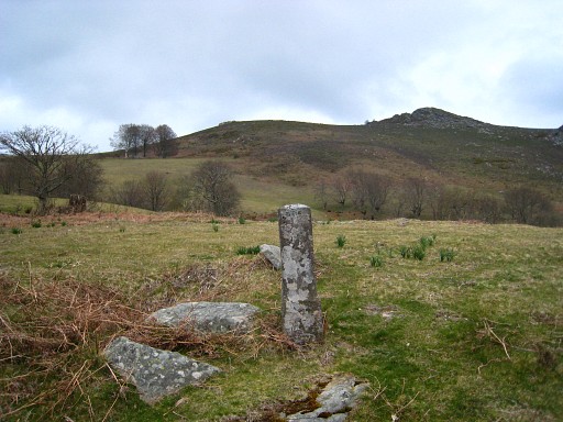
Jan-Willem
still sleeps, I return to bm036. There's a trail starting there,
bending to the right higher on and a short while later passing a fence.
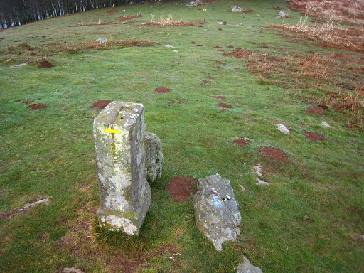
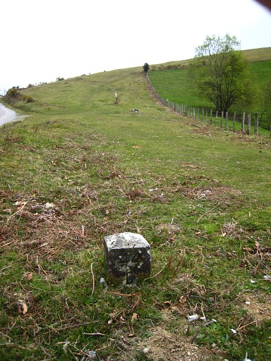
Beyond the fence, there's Bm037 |
||||||||||||||||||||||||
 |
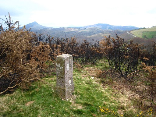
I keep following the path uphill along the hill-ridge. Looking back on this picture, La Rhûne visible. t Pad volgend naar boven over de heuvelrug. Er komt li. 'n pad/landweg bij |
||||||||||||||||||||||||
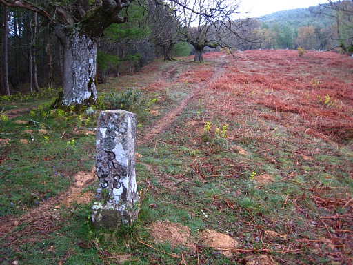 |
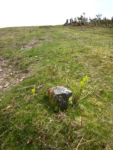
At a certain point, from the left, a path/country road trail is joining my trail uphill. A little bit further, there's Bm038 |
||||||||||||||||||||||||
 |
Bm038, looking back |
||||||||||||||||||||||||
 |
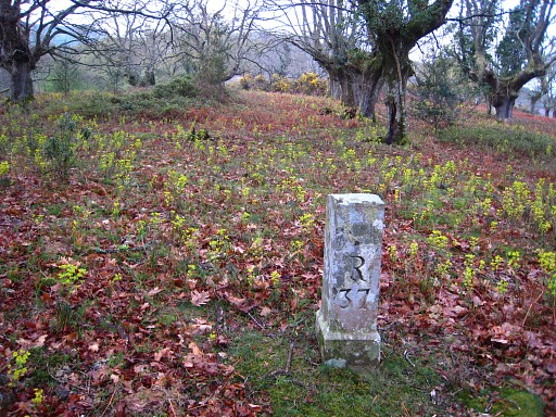
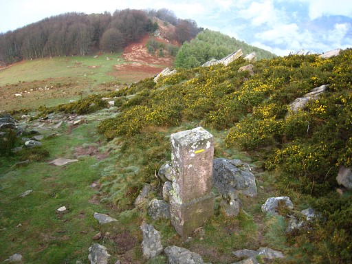
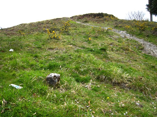
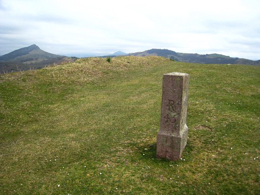
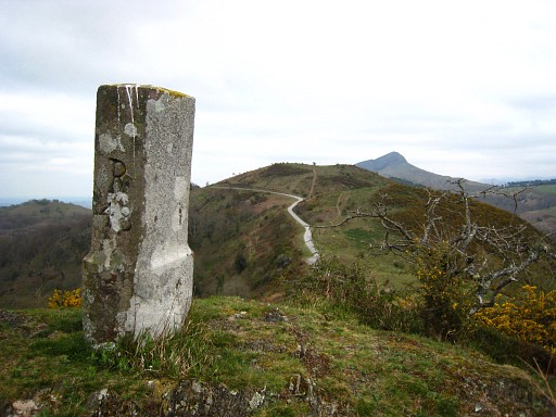
The trail (lying on the borderline itself) now becomes quite steep in a sort of wide and straight corridor in the forest. On top, after the forest, there's a sort of pass with: Bm039 Note the groove carved in the top-side indicating the course of borderline with the 90 degrees angle |
||||||||||||||||||||||||
 |
Bm039, the borderline makes a rectangular angle at this point to the rocky hill in the background. |
||||||||||||||||||||||||
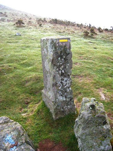 |
Bm039, once again, now showing the number. |
||||||||||||||||||||||||
 |
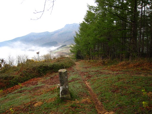
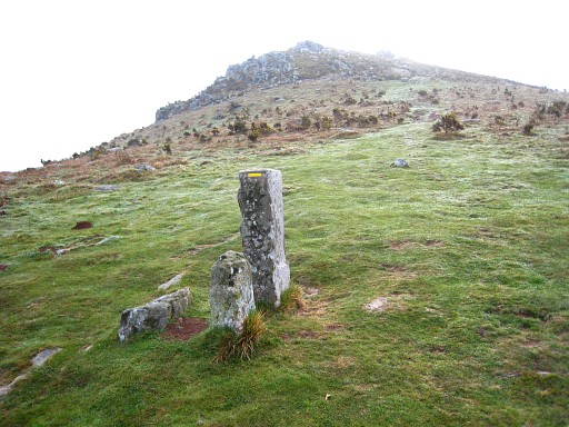
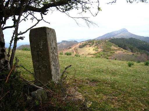
It's a bit of climbing to Bm040 |
||||||||||||||||||||||||
 |
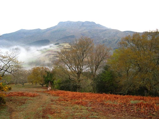
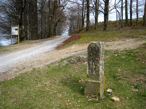
Bm040, looking back at the pass with bm039. This marker also has a rectangular groove on top, showing the next angle in the borderline at this spot. There's no direct path to the following bordermarkers but by using your compass, it should be easy to find them. The Col de Lizarrieta (with bm044) is well visible in the distance. There's a country road leading from bm039 to that Col. |
||||||||||||||||||||||||
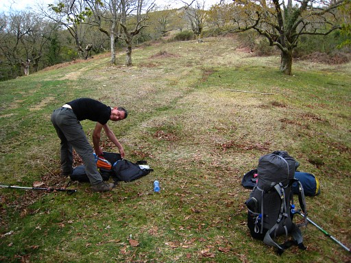 |
I return to our camping-spot. Together we take an other yellow waymarked path that - east and underneath the Ibanteli-hilltop - leads us to Col de Lizarrieta. |
||||||||||||||||||||||||
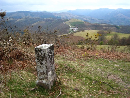 |
Jan-Willem takes a break in the bar and I climb once again towards bm040 but now from the opposite direction. First localizing the markers 43-42-41 and making pictures of them while descending back. Bm041 Note the Col de Lizarrieta in the distance. As said before: there's no direct path between the markers 40-43. However, there's a country road leading from bm039 to the Col. |
||||||||||||||||||||||||
 |
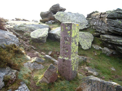
Bm042 |
||||||||||||||||||||||||
 |
Bm042, looking back. You can see the rocky summit with bm040. |
||||||||||||||||||||||||
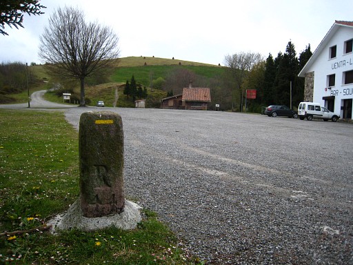
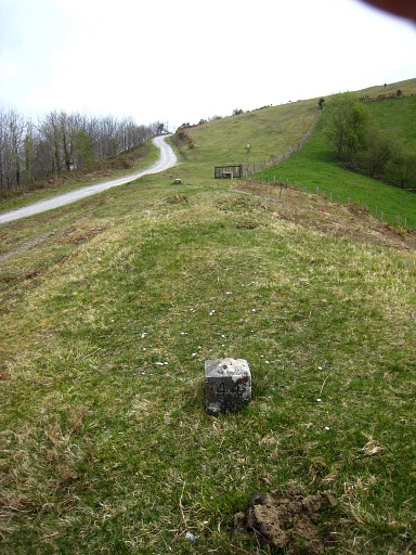
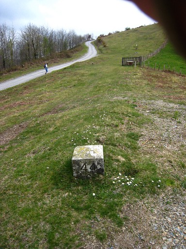
 |
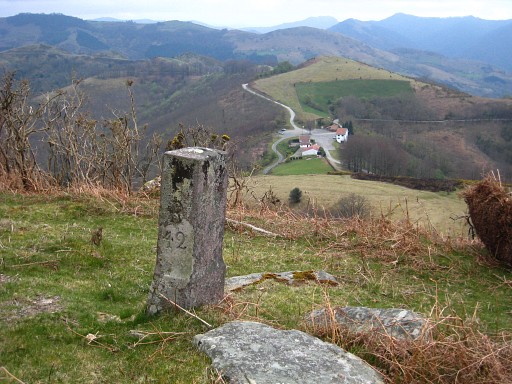
Bm043 Stands along a country road from bm039 to Col de Lizarrieta. That could be a nice part of my GRPdesBF. |
||||||||||||||||||||||||
 |
Bm044, close to the venta/bar where Jan-Willem is enjoying a chorizo-sandwhich. |
||||||||||||||||||||||||
 |
Bm044, looking back |
||||||||||||||||||||||||
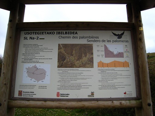 |
Unreadable on this picture but this is
an explanation to a trail of 5 km along the border-ridge with the
places where still pigeons are caught with a net as they did in the
middle ages. |
||||||||||||||||||||||||
 |
Together we continue in the direction of bm045. Then suddenly Jan-Willem discovers the first of a range of submarkers of bm044. In 2010 I found a reference to this bordermarkers. They are placed here in 1988. See the Literature-section This is bm044A |
||||||||||||||||||||||||
 |
Bm044B |
||||||||||||||||||||||||
 |
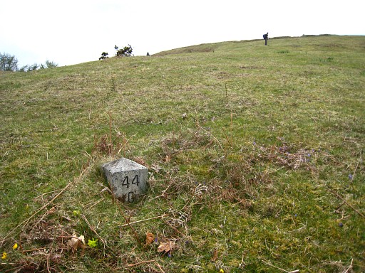
Bm044C |
||||||||||||||||||||||||
 |
Bm044D |
||||||||||||||||||||||||
 |
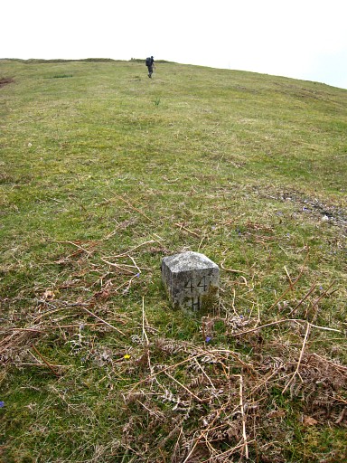
Bm044F |
||||||||||||||||||||||||
 |
Bm044E |
||||||||||||||||||||||||
 |
Bm044G |
||||||||||||||||||||||||
 |
Bm044H |
||||||||||||||||||||||||
 |
Bm044I |
||||||||||||||||||||||||
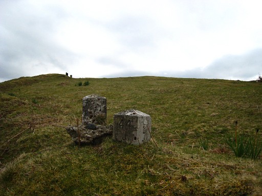 |
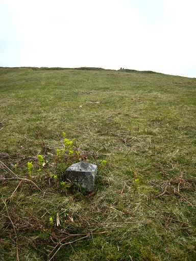
Bm044J , that's the right marker, the left one is the dislocated 044L |
||||||||||||||||||||||||
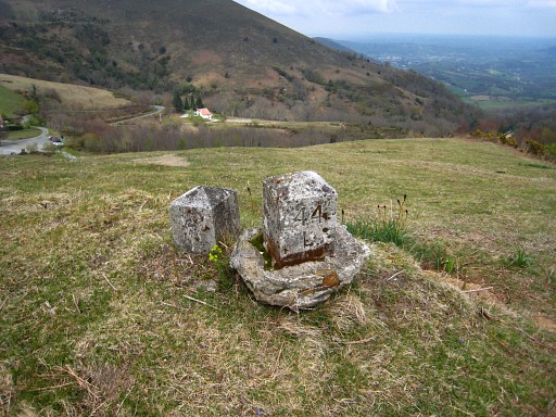 |
Bm044L, moved from his original place. |
||||||||||||||||||||||||
 |
Bm044K |
||||||||||||||||||||||||
 |
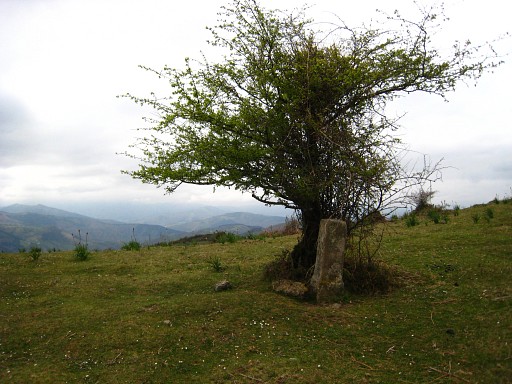
Bm045 |
||||||||||||||||||||||||
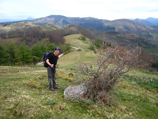 |
Jan-Willem on the hill-ridge which is the border. On the French side a road. |
||||||||||||||||||||||||
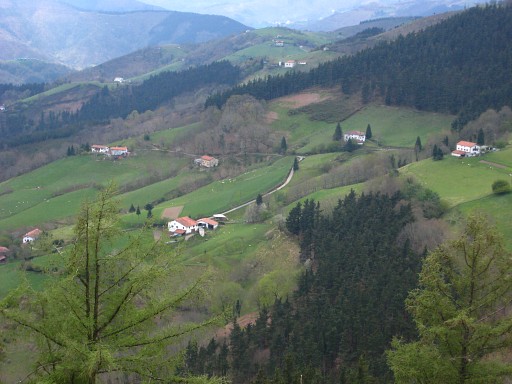 |
A view into Spain, with the typical white Basque houses. |
||||||||||||||||||||||||
 |
Bm046 |
||||||||||||||||||||||||
 |
Bm047 |
||||||||||||||||||||||||
 |
Bm048 |
||||||||||||||||||||||||
 |
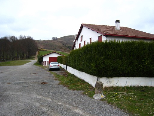
Bm049 Downhill at the roadside, there's a fountain. |
||||||||||||||||||||||||
 |
Bm049, looking backwards |
||||||||||||||||||||||||
 |
Bm050 | ||||||||||||||||||||||||
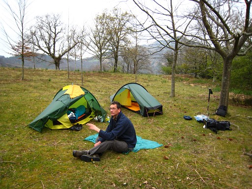 |
Time to stop, near bm050 we camp in a wind-sheltered field against a forest (N43 15 23.1 W1 35 58.9 height 490m??) |
||||||||||||||||||||||||