|
The
bordermarkers of the Pyrenees : all my trips
 |
|
| -
10 may
2009 - Did you forget your cigarettes? |
 |
 |
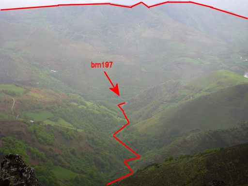
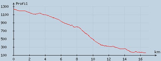
esfr-trip-track-20090510.kml (click to open in Google Earth or copy link to Google Maps; click right on this link to download gpx-version) No bordermarkers, only a view of the borderline down the valley back to bm197. I descend to Saint-Jean-Pied-de-Port to take the train back home. |
 |
For explanation of
the gps-coordinates and other cartographic backgrounds: see my cartography page |
 |
According
to visugpx - distance : 16.8 km - cum. elevation gain : 56 m - cum. elevation loss : 1130 m - total elevation: 1186 m - altitude maxi : 1236 m - altitude mini : 156 m - altitude average : 678 m |
|
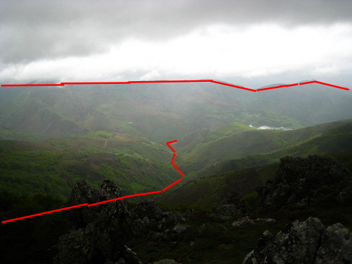
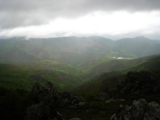
From my camping spot I have a view down the valley. A small stream (Gorrichaneka Erreka) starting at bm198 winds down to bm197 at the confluent with la Nive d'Arneguy. See also the previous trip for bm198 and the beginning of the Gorrichaneka Erreka. Move the cursor over the picture to see border-indications. |
|
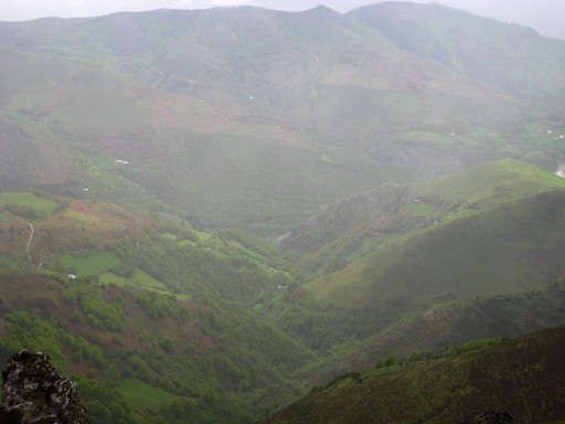
Zoom-in Move the cursor over the picture to see border-indications. |
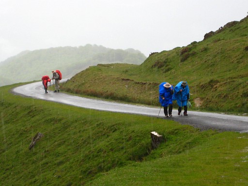 |
While
descending, I'm passing a lot of pilgrims who have just
started their pilgrimage to Santiago-de-la-Compostella Some are asking if I'm returning from Santiago and one fellow asked: "did you forget your cigarettes?" I have a lot of nice memories of my own pilgrimage from St-Jean-Pied-de-Port to Santiago-de-la-Compostella, long ago in1998. |
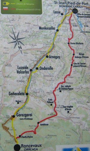 |
In
Saint-Jean-Pied-de-Port I came across this map of the two routes to
Roncevaux, the next stop on "The way". The red one is the mountainous classical passage. The yellow one however - more easy and more safe in bad weather - leads along Gañecoleta and that's where bm197 should stand. That's the target for the next trip on 25 may 2009 |
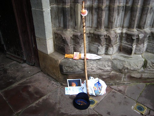 |
The typical
attributes of the Santiago-pilgrim: walking stick and the shell of St. James. This pilgrim apparently needs financial support. |
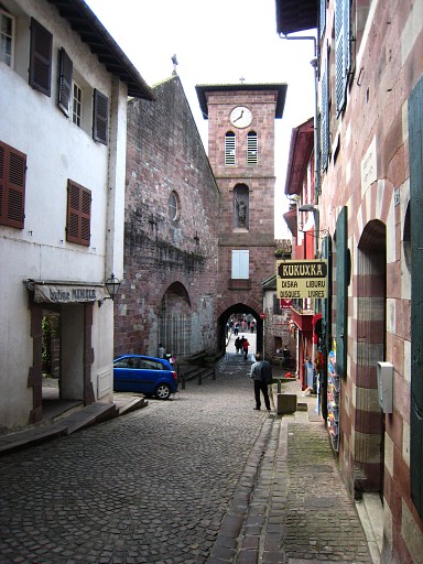 |
Main
street of this beautiful town. |