|
The
bordermarkers of the Pyrenees : all my trips
 |
|
| -
27 may
2009 - Deep into the valley |
 |
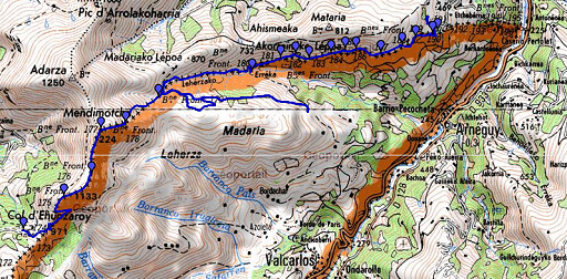 |
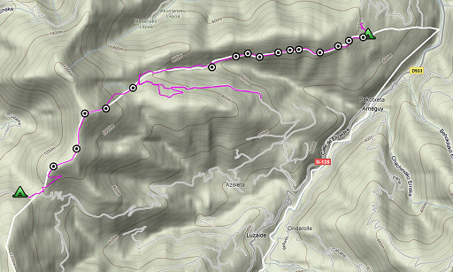
esfr-trip-track-20090527.kml (click to open in Google Earth or copy link to Google Maps; click right on this link to download gpx-version) Part of a 16-days trip, using day 1-10 to cover bm154 to 264 in the eastern Pyrenees and day 11-16 for bm416 to 365 near Bagnères-de-Luchon. Day 3: continuing on the borderridge from bm174 to bm 190. |
 |
For explanation of
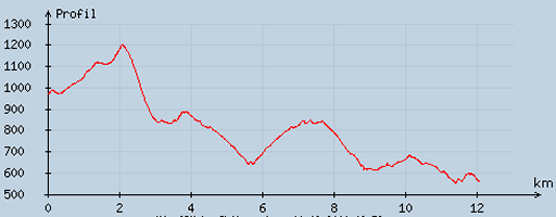
the gps-coordinates and other cartographic backgrounds: see my cartography page En route: ± 8-18.45, 10.47h, break 3/4h According to my watch: up 865m, down 1274m = 2139m in total. Hmax 1212m Lmin 535m |
 |
According
to visugpx - distance : 12.29 km - cum. elevation gain : 558 m - cum. elevation loss : 963 m - total elevation: 1521 m - altitude maxi : 1200 m - altitude mini : 551 m - altitude average : 807 m |
 |
An
early start at 8am after a cold night. It's still cloudy and chilly.
Patches of fog on the ridge. Later in the morning getting brighter. From Col d'Ehunzaroy, I climb the ridge - following the borderfence - to bm175. |
 |
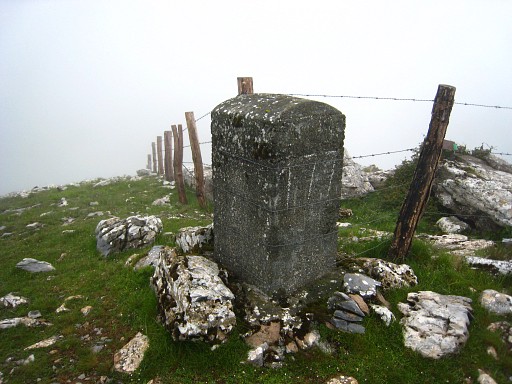
Bm176 |
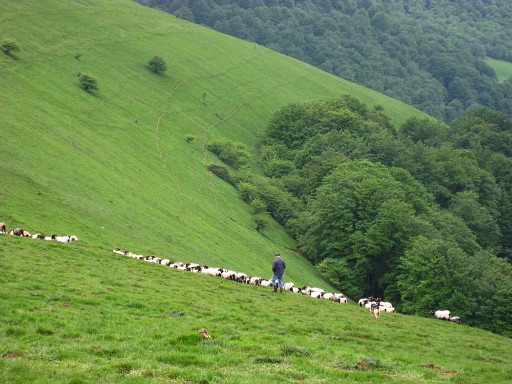 |
I have a chat with a shepherd. |
 |
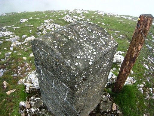
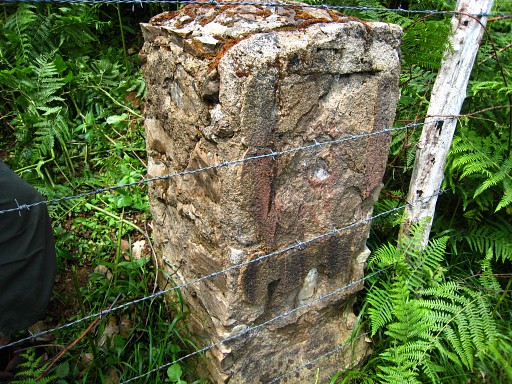
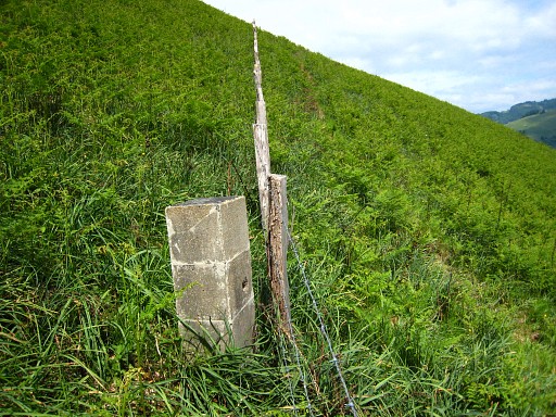
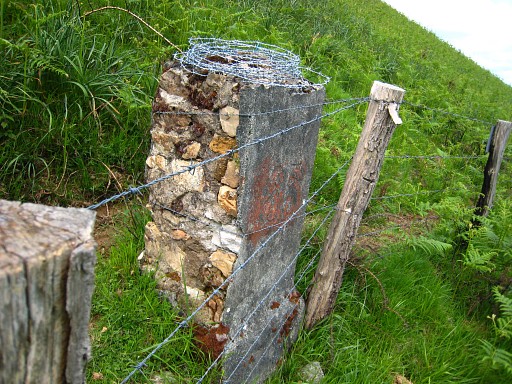
Bm177, similar to bm171 (see yesterday) |
 |
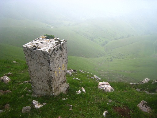
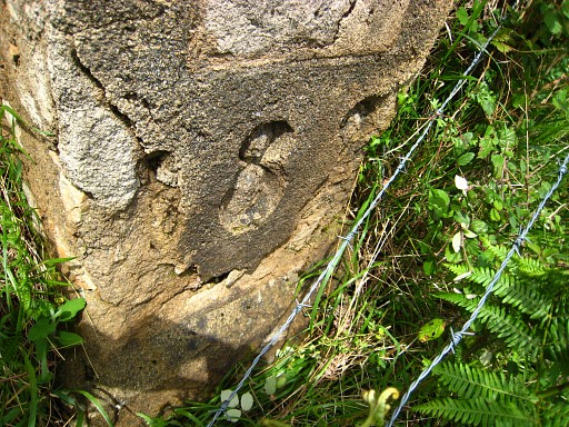
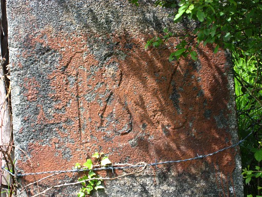
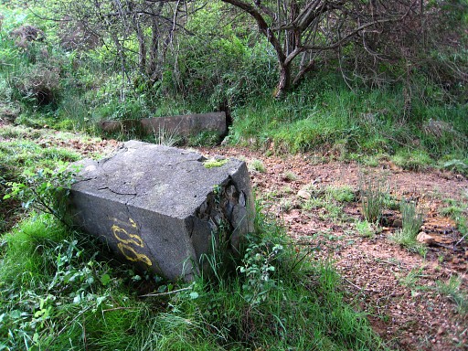
Bm177, note the number on top of it. From here it's a steep descend, coming along |
 |
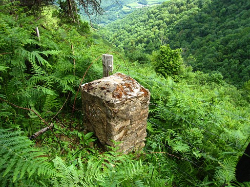
Bm178 |
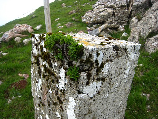 |
Bm178, melting with nature. |
 |
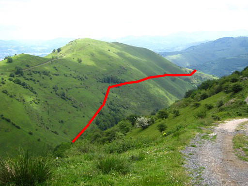
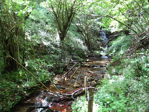
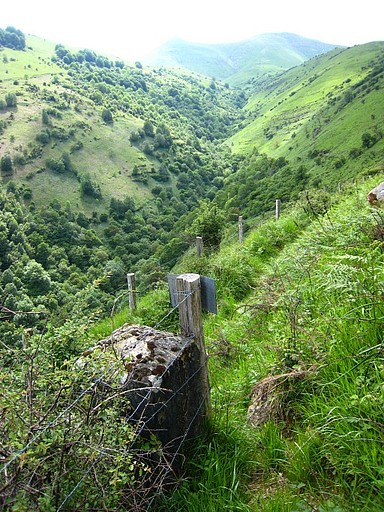
At
bm178, the border leaves the ridge and follows a stream starting from
bm178. At bm180, the border will leave the stream and go uphill. From bm178, further descending to a dirtroad, then continuing along the stream to |
 |
bm179 |
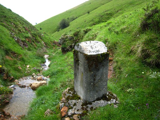 |
Bm179 |
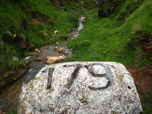 |
Bm179, again an engraving on top. The continuation of the stream to bm180 seems a bit too tough. On the map I see promising dirtroads/trails on the Spanish side. A bit downstream from bm179, you can cross the fence by means of a footstool. |
 |
From the fence a distinct path climbs
uphill - along a muddy part and a fallen tree - getting vague and
ending at a dirtroad. I don't recognize it well on the map but I try
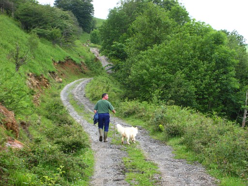
the dirtroad and descend on it. However, there are no trails to the left descending to the borderridge and the hillside is covered with blackberry and fern, not very inviting. But I'm happy to meet this Spanish shepherd. |
|
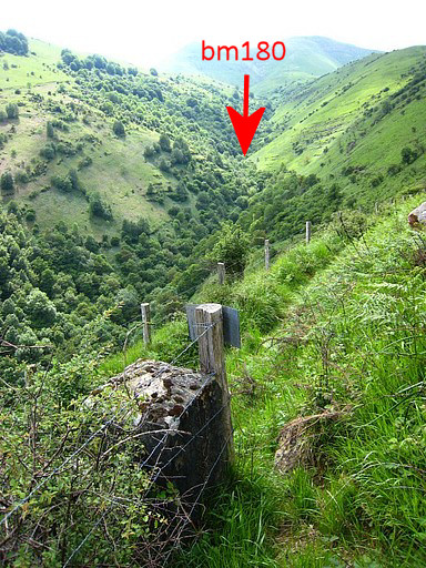
He shows me the course of the border
on the other side of the valley. From bm180, the borderline leaves the
stream and goes uphill. From bm180, the borderfence reappears. Move the cursor over the picture to see the borderline. His advice: make a detour via Arneguy but then - after some questioning - he tells me about a trail, a while back going down. I walk back on the dirtroad and where that trail starts (on a bend of the dirtroad) I take a lunch-break. |
 |
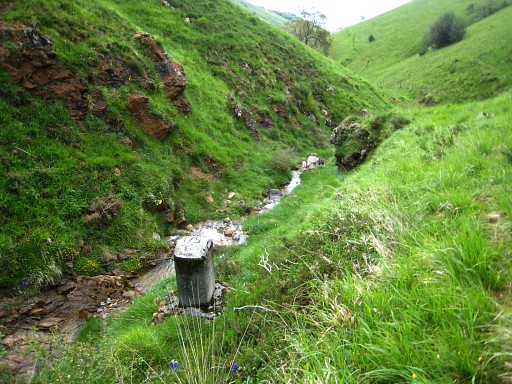
That trail leads me to the fence-crossing with the footstool where I came from. On the French side, I descend parallel of the borderstream. I first make a small detour around a barn but then descend on some cattle-tracks but mostly on the difficult to walk hillside. Finally I reach the borderfence, pointed out by the shepherd. I follow it back downwards to the stream to bm180, it's close to a waterfall. |
 |
The waterfall near bm180. |
 |
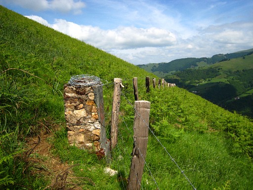
From there, navigating is simple: along the fence at its French side. But walking remains tough until bm185 due to to fern, blackberry and sliding underground. Bm181 |
 |
Bm181 |
 |
Bm182 |
 |
Bm182 |
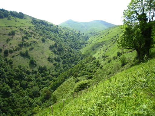 |
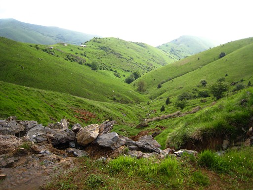
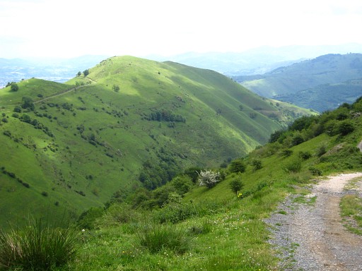
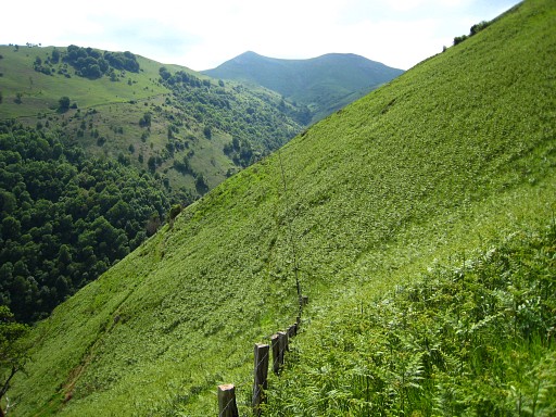
Looking back at the valley. |
 |
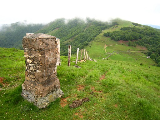
Bm183 |
 |
Bm183 |
|
Bm183, looking
backwards Move the cursor over the picture to see the approximate place of bm180 |
 |
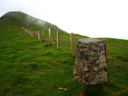
Bm184, but apparently without a number on it. |
 |
Bm184 (seen from the east, in the slight bend of the fence). |
 |
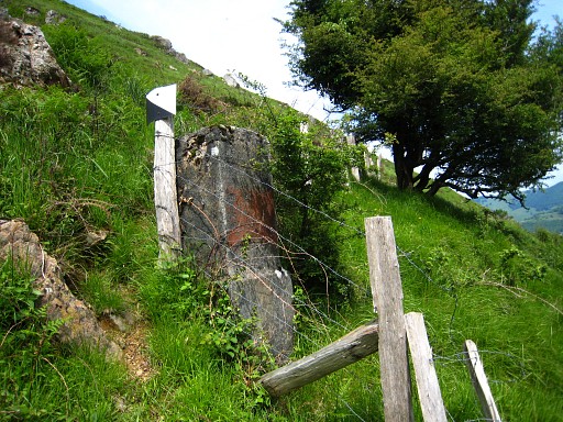
Bm185 Here a path meets the borderfence. It's coming from the west. On the map I see that it is connected via dirtroads with the bordercrossing between bm178 and bm179. That could be the GRPdesBF-main trail connecting bm178 with bm185. |
 |
Bm185 |
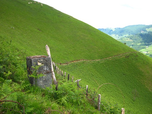 |
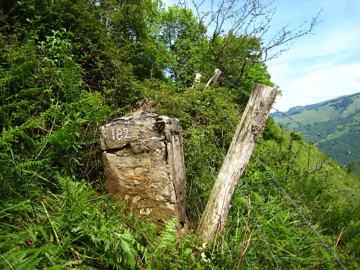
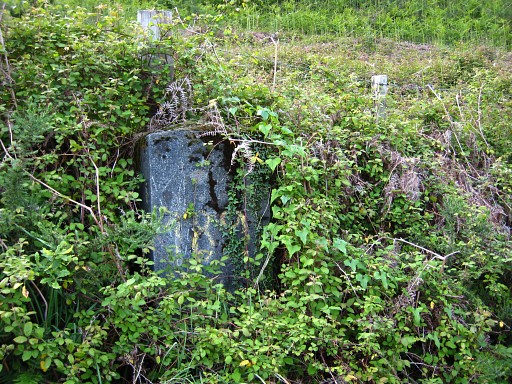
Bm186, apparently the original number has weathered/faded away. This is my own with chalk. |
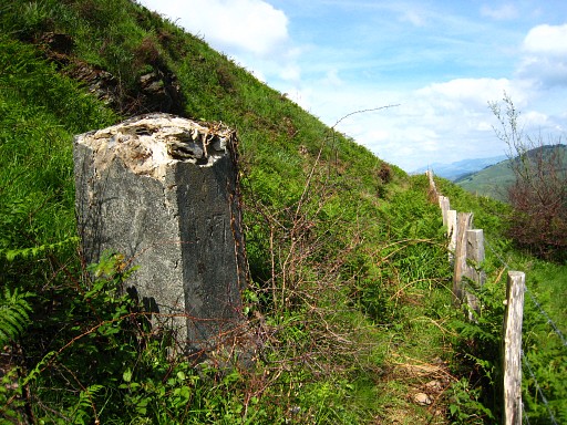 |
Bm187 |
 |
Bm188 |
 |
Bm188 Here the trail gets broader and more grassy and is joined at the left side by a fence. |
 |
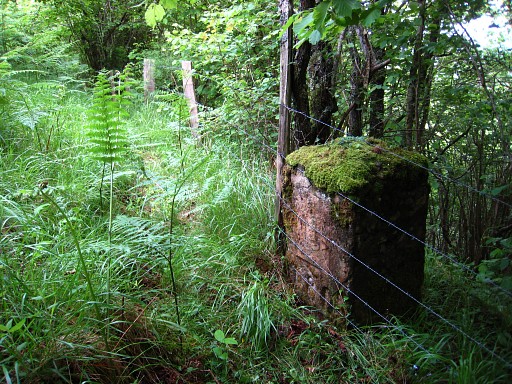
In the left fence (where the right fence starts with a kind of short-cut) I find bm189. |
 |
Bm189 |
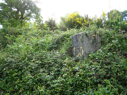 |
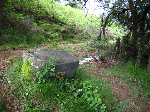
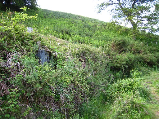
And after some searching (not knowing which fence/trail is the border) I find bm190, largely overgrown. |
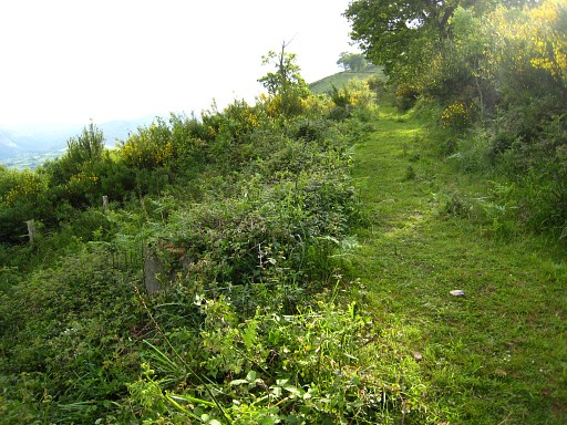 |
Bm190, giving an idea of its position (looking west). Indication: when you come from bm189 on the trail/dirtroad, you will arrive at a spot where the righthand fence leaves the dirtroad (with a narrow overgrown track along it). From that corner you will find bm190 at ± 15m, further along the dirtroad in its overgrown sidewalk. |
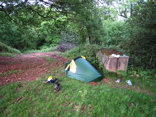 |
A bit further, I find this bivouac spot under the trees. The dirtroad/trail has become a dirtroad. It has been a tough afternoon. The weather was nice. |