|
The
bordermarkers of the Pyrenees : all my trips
 |
|
| - 22 august
2011 - Giant bordermarkers |
 |
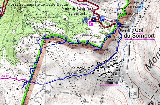 |
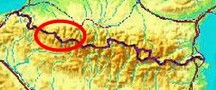
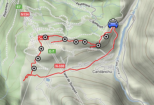
esfr-trip-track-20110822.kml (click to open this trip in Google Earth or copy link to Google Maps; click right on this link to download gpx-version) Summary: part of a 3-weeks trip to the Pyrénées to 'do' the ± 60 remaining bordermarkers. All done as daytrips from campings. Day 8: A short trip from Col de Somport, doing bm304-298 Weather: sunny, very strong winds |
 |
For
explanation of
the gps-coordinates and other cartographic backgrounds: see my cartography page En route (±): 14.45 - 18.00 (3.15h) According to the gps-tripteller: Distance: 8,1km Cum. elevation gain : 568m Total elevation: 1136m Maximum height: 1728m Time: 3.16h |
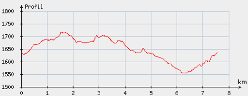 |
According
to visugpx - distance : 7,6km - cum. elevation gain : 182m - cum. elevation loss : 187m - total elevation: 369m - altitude maxi : 1718m - altitude mini : 1554m - altitude average : 1657m |
 |
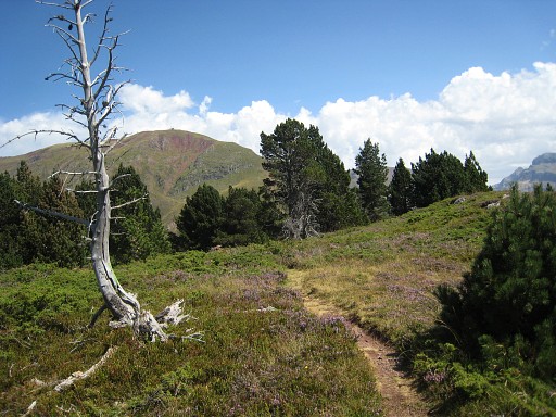
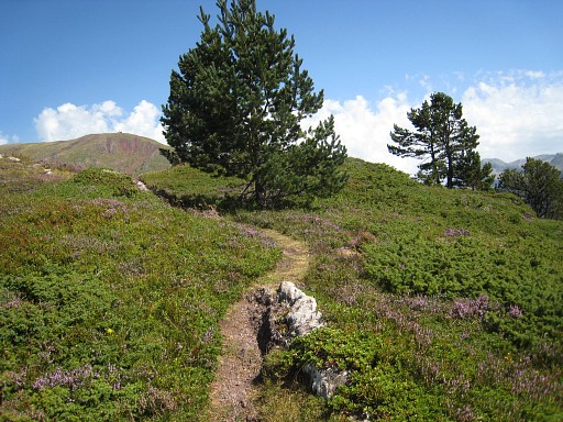
This day was
supposed to be a resting day but the backpackers menu at a Candanchu
bar needed some digestion. At the Spanish side of the Col du Somport, I climb to the St. Mary's chapel and pickup a trail there. It climbs through a forest and leads you underneath a hilltop with bm304 on top of it. |
 |
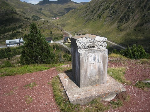
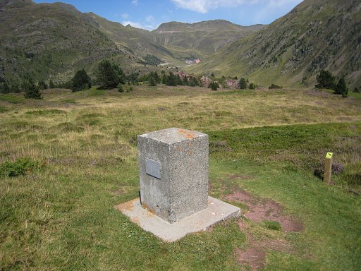
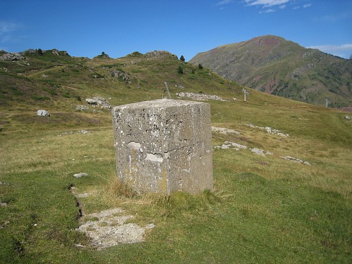
Bm304 |
 |
Bm304 |
 |
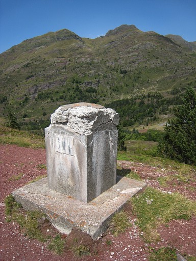
The trail leads you further to bm303. |
 |
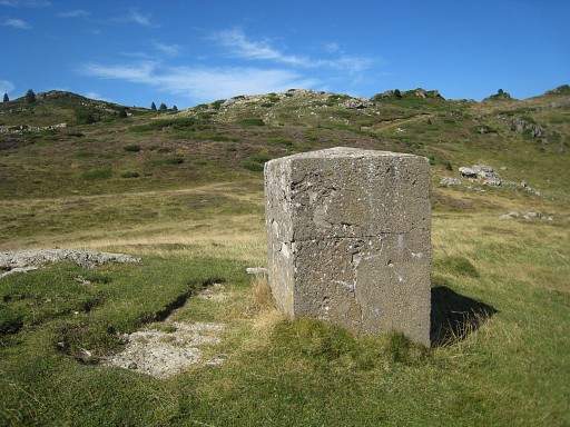
Bm303 |
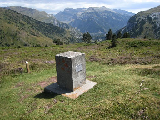 |
Bm303 |
 |
Bm303 in the background. A green/yellow waymarking has appeared and can be followed until bm300. |
 |
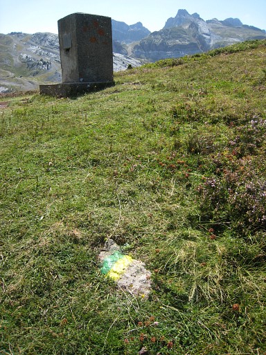
After bm303, don't go this way, it's a military shooting area on Spanish soil. |
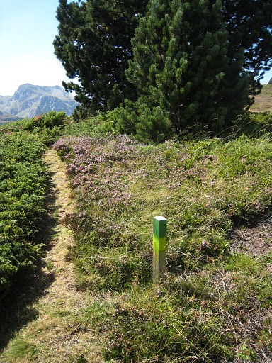 |
This is the trail to follow. |
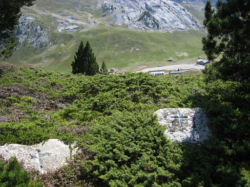 |
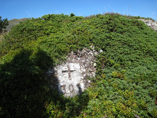
Both bm302 and bm301 are crosses and quite hidden in the
undergrowth. They are 15-20 away from the path on small hilltops
and not visible from the path. Note the solitary cross to the left. |
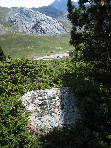 |
Bm302
|
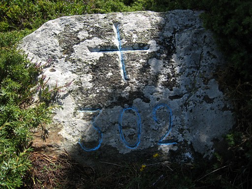 |
Bm302 |
 |
Since bm302 is difficult to find, this clue: a dead tree to the W along the path. Bm302 is roughly located where the trees in the background stand, 20 meters to the right of the path |
 |
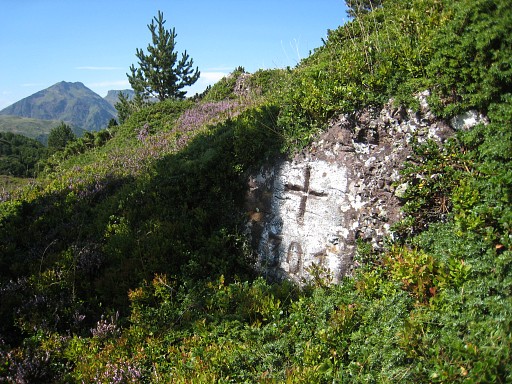
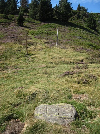
Bm301 is also quite hidden in the undergrowth, in this case 15m from the path. |
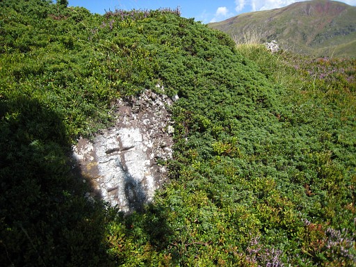 |
Bm301 |
 |
Bm301 |
 |
And a clue for bm301, looking from W to E: behind the tree on the small hilltop, that's where bm301 is. |
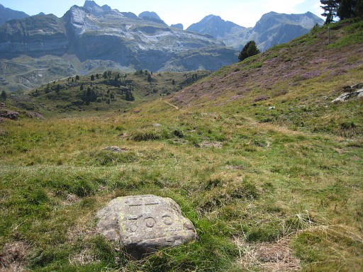 |
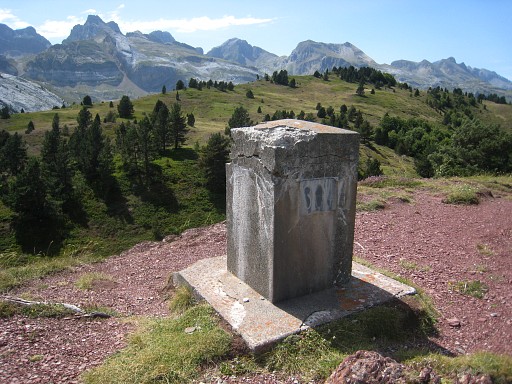
Bm300 lies flat in the grass. At this point, the green/yellow trail bends to the left but the borderline goes straight ahead over the hillridge . |
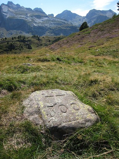 |
Bm300 |
 |
Bm300, looking forward to the hillridge where a smaller trail will bring you |
 |
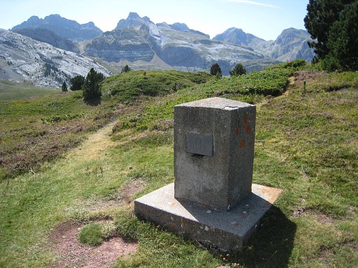
to bm299. |
 |
Bm299 |
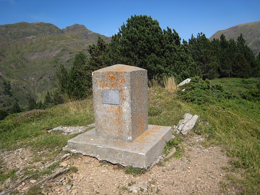 |
Bm299 |
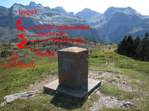 |
The first picture of bm299 again to show the next bordermarkers. From bm299 the border is a straight line to bm297. The next bm - bm298sub - is already visible in the valley and can be gently reached with a semi-circle descending to it. |
 |
Bm298sub is unnumbered. |
 |
From bm298sub you can easily spot bm299 on the hillridge. |
 |
Bm298sub |
 |
On my way to bm298. This is a view back to - bm298sub - the hillridge with bm299 |
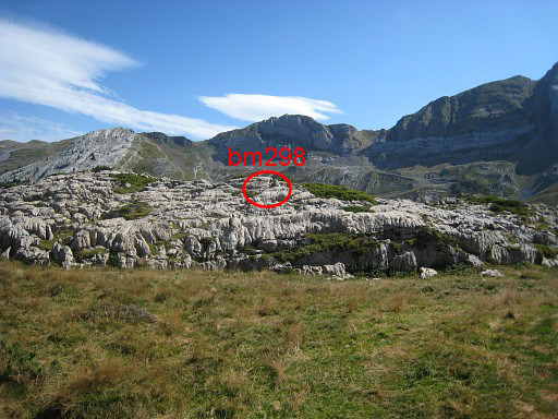 |
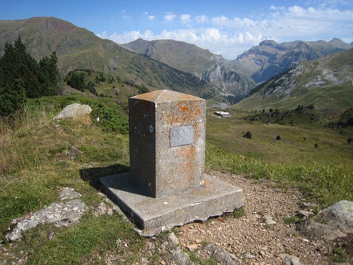
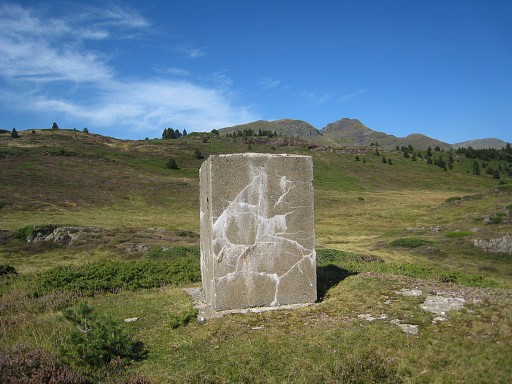
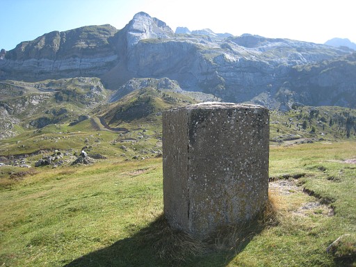
Bm298 is easily reached by winding SSW along a sort of path until you see this rock platform. |
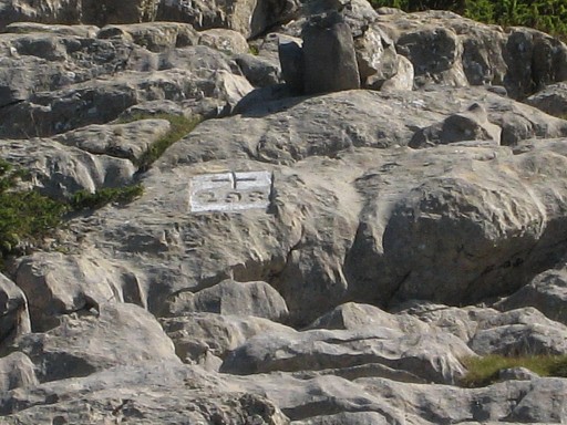 |
Zoom-in to bm298 |
 |
Bm298 |
 |
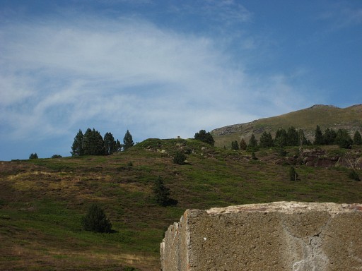
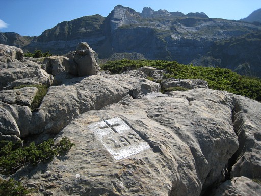
From bm298 looking back in the direction of bm298sub and bm299. From bm298, there's no obvious path to the next bordermarkers. |
 |
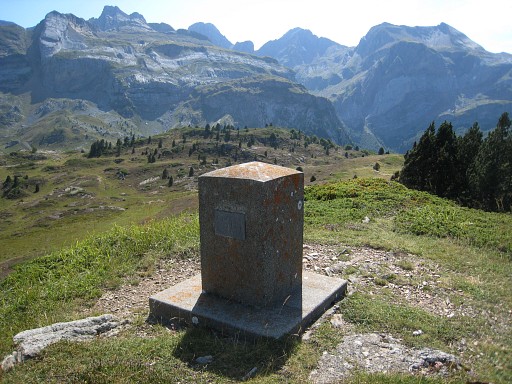
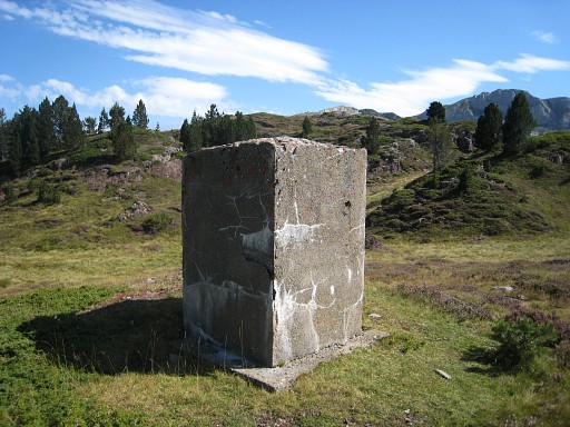
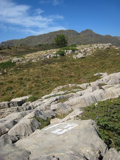
But bm297sub2
(also a giant block) is easily found by walking two semicircles to the SSW. Distance to bm298: ± 225m |
 |
Bm297sub2 |
 |
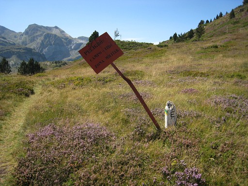
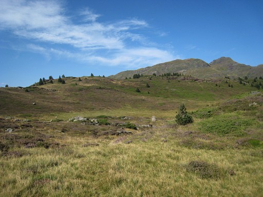
Bm297sub2, looking in the direction of bm297. The GR11-trail is 25m further. The crossing of the border of the GR11 is obvious through some ES- and FR-information panels. I give up by lack of time and walk on the GR11 to Candanchu and back to Col du Somport. |