|
The
bordermarkers of the Pyrenees : all my trips
 |
|
| - 25 august
2011 - Hidden bordermarkers |
 |
 |
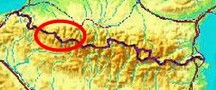
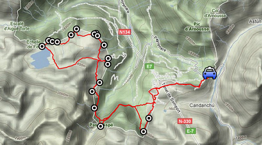
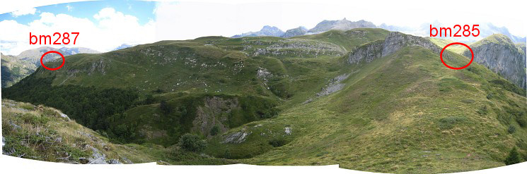
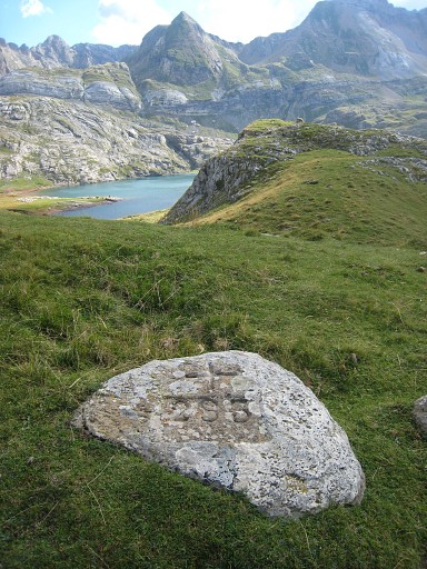
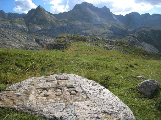
esfr-trip-track-20110825.kml (click to open this trip in Google Earth or copy link to Google Maps; click right on this link to download gpx-version) Summary: part of a 3-weeks trip to the Pyrénées to 'do' the ± 60 remaining bordermarkers. All done as daytrips from campings. Day 11: a roundtrip from Col du Somport to do bm281-297, some of them not easy to find. Weather: sun, nice breeze, very strong winds in the end |
 |
For
explanation of
the gps-coordinates and other cartographic backgrounds: see my cartography page En route (±): 10 - 21.15 (11.15h) According to the gps-tripteller: Distance: 29,7km Cum. elevation gain : 1663m Total elevation: 3326m Maximum height: 1835m Time: 11.19h |
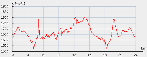 |
According
to visugpx - distance : 24,4km - cum. elevation gain : 1217m - cum. elevation loss : 1216m - total elevation: 2433m - altitude maxi : 1803m - altitude mini : 1520m - altitude average : 1675m |
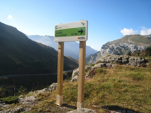 |
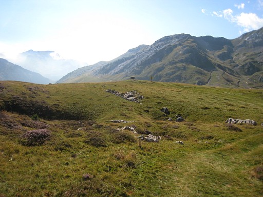
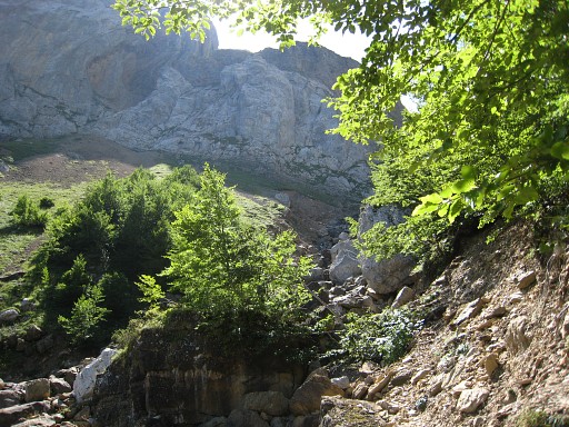
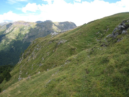
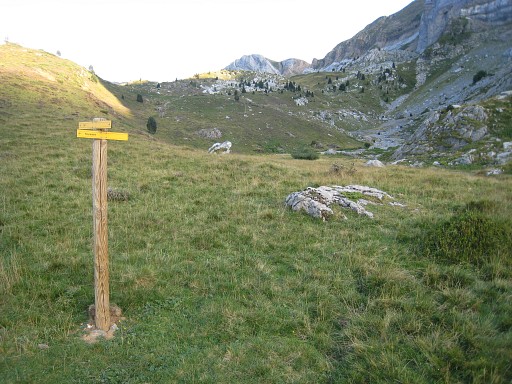
Again a long,long day. Start from Col de Somport, the target being bm297-282. From the chapel just above the road-junction in front of the cafe, I deliberately take the green/yellow trail - which should bring you in 5,1 km to Pas d'Aspe - |
 |
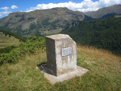
which winds nicely along some bm’s like bm303 |
 |
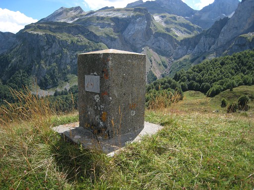
and bm300 |
 |
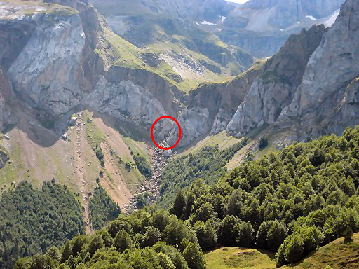
and in the distance the submarker bm298sub
|
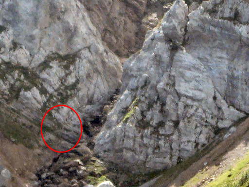
 |
bm298sub, zoom-in |
 |
and another submarker: bm297sub2 |
 |
bm297sub, zoom-in |
 |
to where it merges with the GR11 which is about here, you're looking in the direction of Pas d'Aspe. |
 |
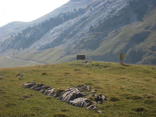
And this is view to the location of the bordercross bm297, which has disappeared, and its replacement on a hill |
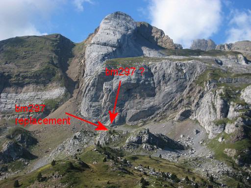 |
A zoom-in with the probable location
of the disappeared bm297 against the rockwall and it's
replacement on a hilltop ± 175m N of it. About the disappeared bm297 and the placement of its substitute and 3 submarkers on the line bm297-299, see: this exchange of letters. |
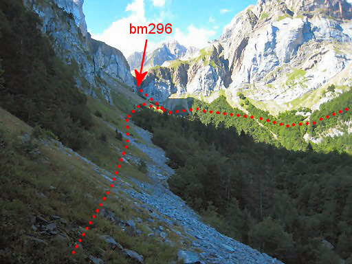 |
I continue on the
GR11, enter a forest and then reappear in the open and see Pas d'Aspe ahead. The GR11 passes underneath Pas d’Aspe (bm296). You'll need to climb back and forth to it. |
 |
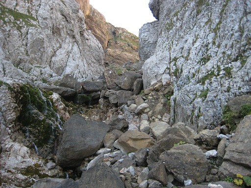
The GR11 has taken a new - lower -
course to cross (the bed of the stream) because of landslides. It’s easier - coming from this side to take the old path (so ignoring the red/white cross) to bring you higher up to the bed. |
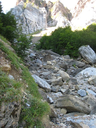 |
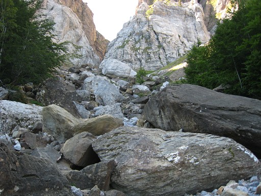
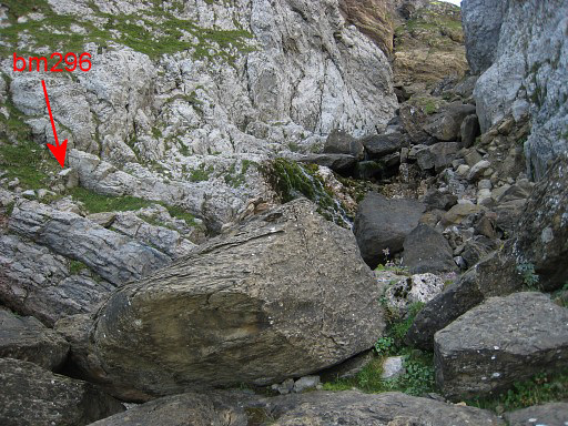
At this point you
need to climb up the bed of the (now) dry stream with its large
boulders. An access on the eastside of the stream seems more difficult because of the landslides there. |
 |
Soon you will spot cairns which will guide you up on the
W-side of the bed. |
 |
Then the ‚trail’ crosses the stream and you’re close
to bm296. I first climbed too high but with help of my gps, I find |
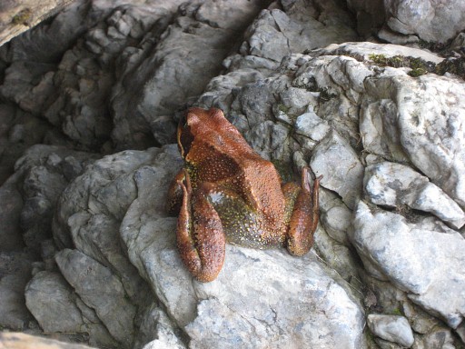 |
a frog |
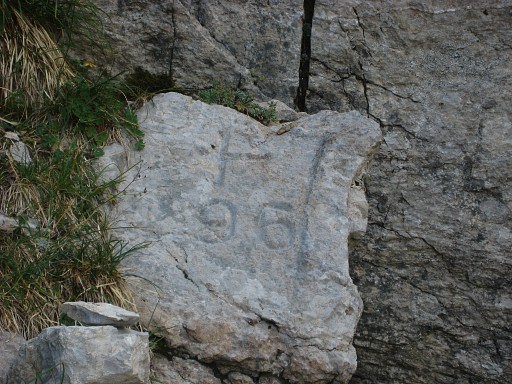 |
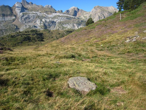
and then - inconspiciously - bm296 |
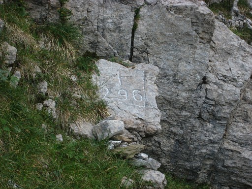 |
but more distinct with chalk. |
 |
This picture might help you to locate bm296. The actual pass is steep climb higher up. |
 |
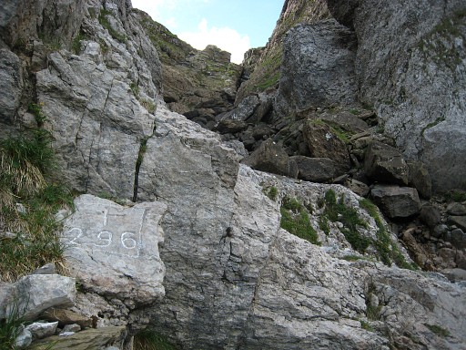
Bm296, a bit lower |
 |
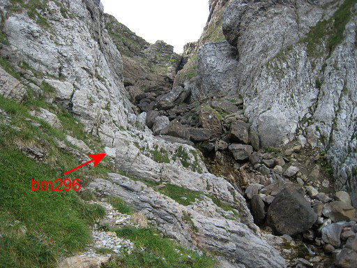
And from the other side of the stream |
 |
Back at the bed, looking back at the bed, approximately from where the new course of the GR11 crosses the bed. If you arrive from bm295, this is where you will meet the bed and where you have to climb to bm296 |
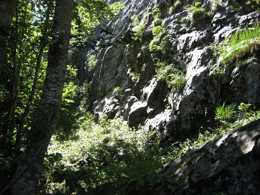 |
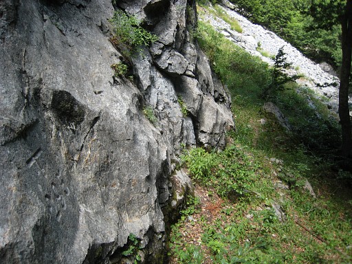
Further along the GR11. Bm295 is against this rockwall, say 70m W from the path. |
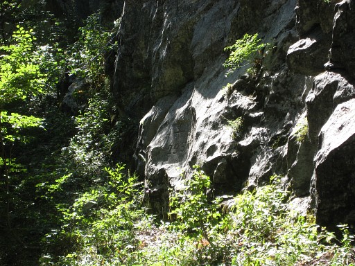 |
Zoom-in |
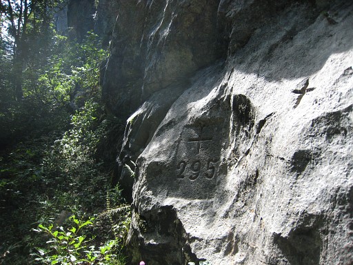 |
Bm295 |
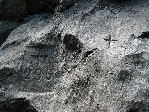 |
Bm295 |
 |
Bm295 |
 |
But where to leave the path to get to bm295? That's easy: east of bm295, there are two giant boulders on each side of the
path, this is one of them. That the indicator where you have to leave the the path W to reach the bordercross 295. |
 |
Further on - where the GR11 leaves the forest - you have to go W into
the forest for ±90m to a hilltop. There you will find bm294. |
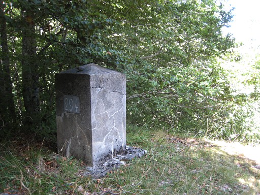 |
Bm294 |
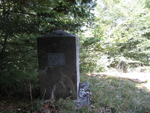 |
Bm294 |
 |
This is where the GR11 enters the forest (coming from N) and where you have to climb 90m to the W to bm294. |
 |
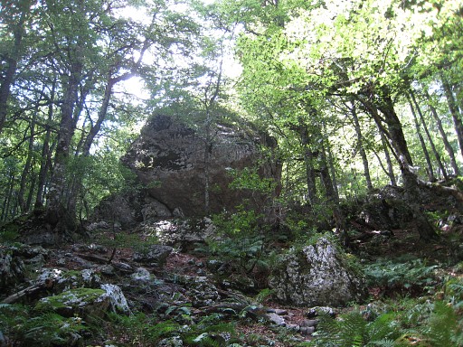
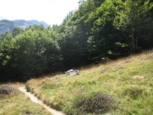
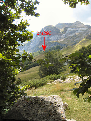
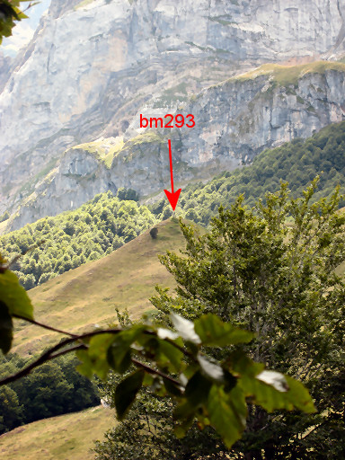
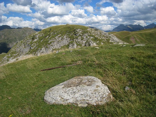
A bit further on the GR11, bm293 is well visible on a hilltop, 110m NEE from the path. I go back & forth for a visit. |
 |
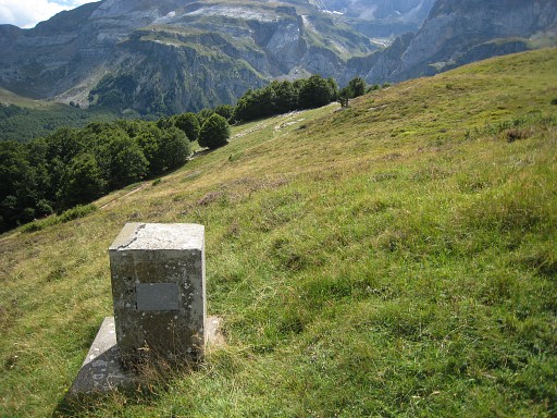
Bm293 |
 |
Bm293 |
 |
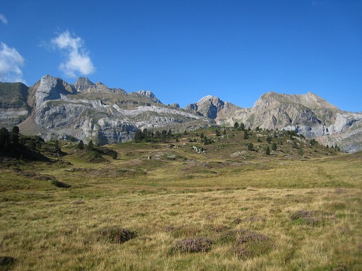
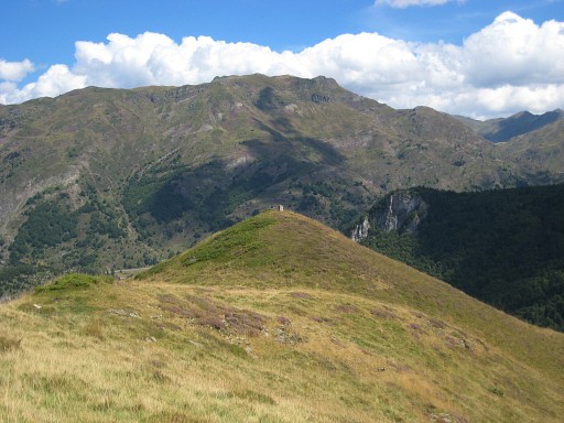
The hilltop gives a nice view to Col d'Aspe with indicated, the location of bm296. |
 |
Bm296, indicated on this deep zoom-in. |
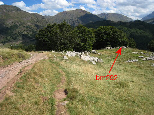 |
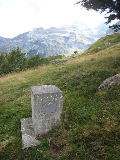
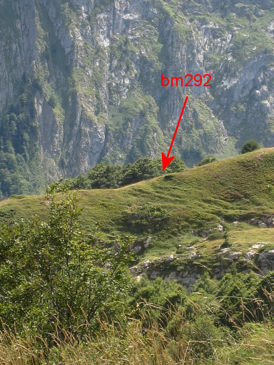
Back to he GR11 and continuing until a T-junction. The GR11 bends to the left and to the right descends a path to the parking of Sansanet. Follow the last one and a bit further, there’s this little forest at the right of the path with bm292 already visible in its edge. |
 |
Bm292 |
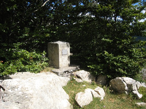 |
Bm292 |
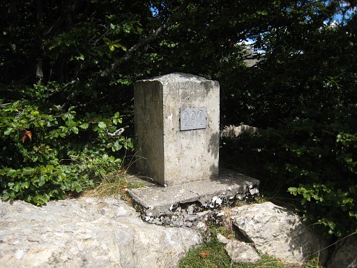 |
Bm292 |
 |
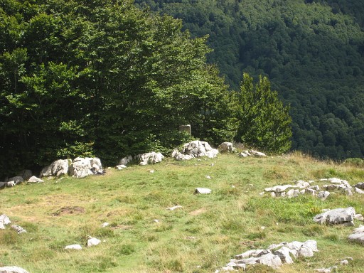
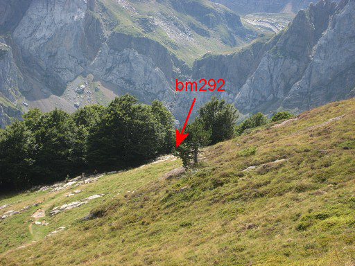
A view from bm292 to bm293, the distance in a direct line is ± 650m |
 |
with this zoom-in, bm293 now visible. |
 |
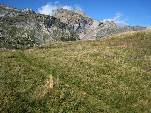
Now I'm leaving the ‚official’ paths, navigating with my gps from one bm to the
other untill bm281. Without the Darrieu’s waypoints and Robert Darieumerlou’s pictures, it would have been much more difficult. However, I learn that almost every bm (-location) from 281 to 293 can be seen from one to the next one. In between you can sometimes use cattle tracks. This is bm291, ± 200m from bm292. |
 |
Zoom-in to the location of bm292. |
 |
Bm291 |
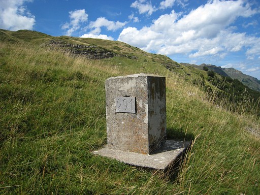 |
Bm291 |
 |
Bm290 is reached by a sort of semicircle. In a direct line it's ± 450m from bm291. |
 |
Bm290 |
 |
Bm290 stands close to a solitary tree. In the far distance, I recognize the location of bm292. |
 |
Zoom-in from bm290 to bm292. From bm290 on, there are only crosses which are hard to find with their uncolored engravings in a rocky surrounding. Even with waypoints and pictures. |
 |
Bm290 under the solitary tree, seen from NW |
 |
Zoom-in to bm290 |
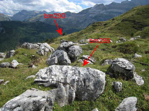 |
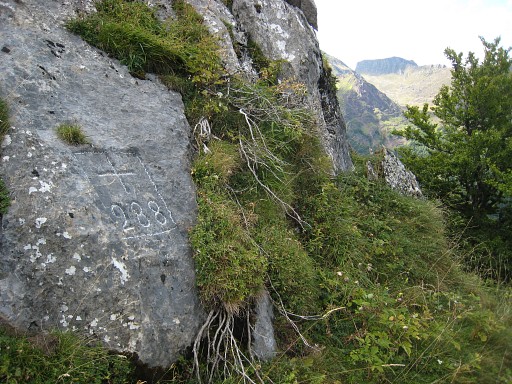
About 350m further I find bm289. This picture: the backside of the rock with a view towards the solitary tree |
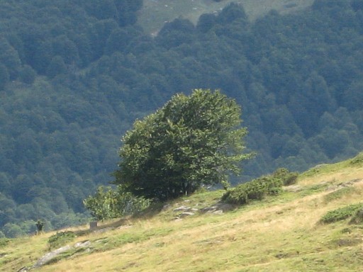 |
with a zoom-in to that solitary tree with bm290 under it. |
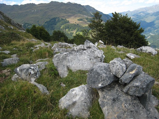 |
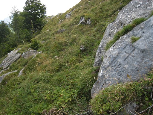
Bm289 |
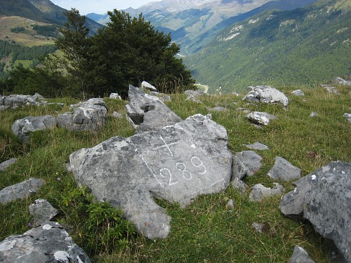 |
Bm289 |
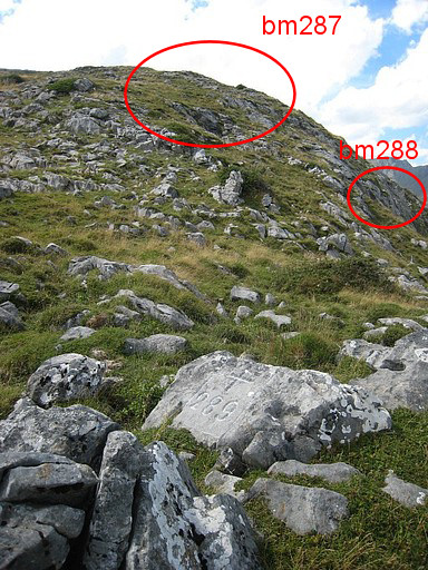 |
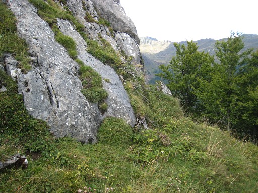
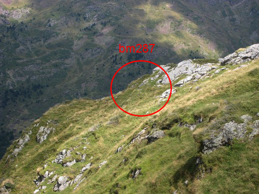
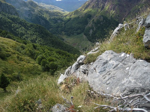
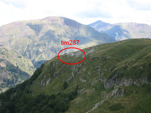
Bm289, looking forward to the hillside where I will find bm288 at approximately 80m. Higher up the hill (65m in a straight line from bm288) is bm287. So bm287-288-289 are quite close to each other. |
 |
Bm288 |
 |
Bm288 |
 |
Bm288 |
 |
Up the hill, bm287 is difficult to
find, looking just like the other rockpieces in the grass. Without the
chalk, the number is hardly noticeable. Hint: it is not on the hillridge but on its northern slope. |
 |
Bm287
|
 |
Bm287. We're looking ± W, the direction to follow to the next bm |
 |
A Spanish "chase reserved" sign, often a bordermarker in his own right. |
 |
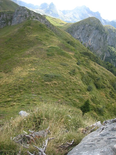
I'm on my way to bm286, in a straight
line ± 600m but needing a semi-circle along the hillside and using
cattle tracks when available. This picture: looking back to the location of bm287. |
 |
With this zoom-in of its approximate location (if I'm right). |
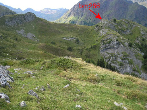 |
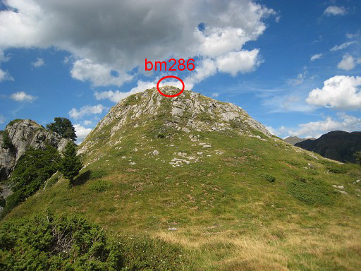
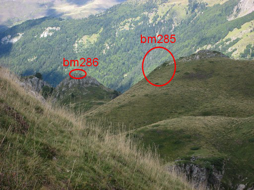
And looking forward to bm286 |
 |
Bm286 |
 |
Bm286 |
 |
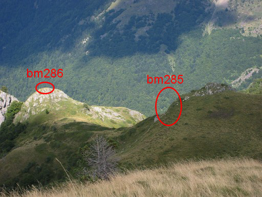
From bm286 looking forward to the location of bm285 |
 From bm286 looking SW |
|
 |
And a zoom-in to where bm287 is located. |
 |
On my way to bm285, looking back at the little rocky summit with bm286. |
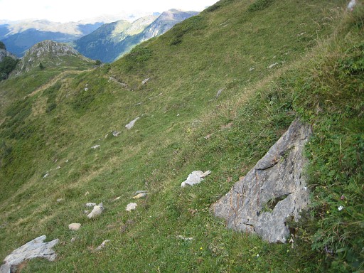 |
On my way to the next, looking back to (in the distance) the little summit of bm286 |
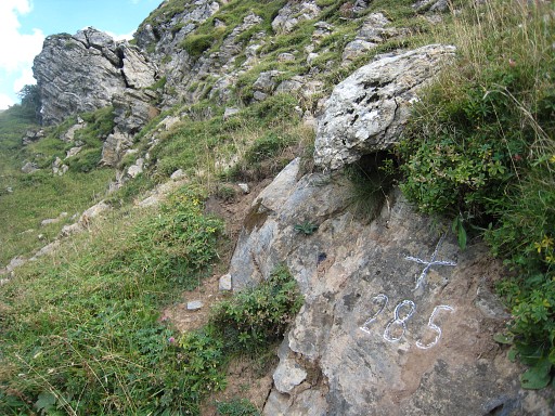 |
Bm285 |
 |
Bm285 |
 |
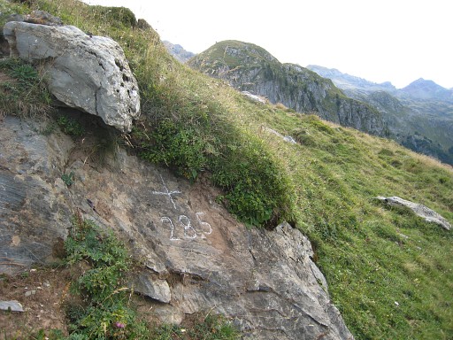
Bm285, from some distance |
 |
Apparently a bit further and again looking back at the landmark of the summit of bm286. |
 |
Ten minutes later - and five minutes before finding bm284 - another view back |
 |
with this zoom-in |
 |
Bm284 |
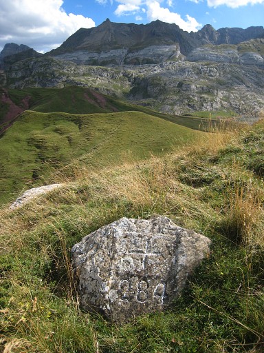 |
Bm284 |
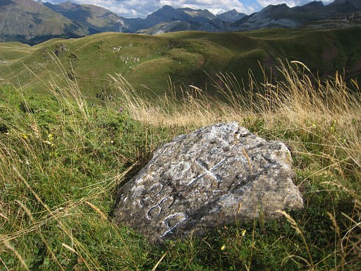 |
Bm284 |
 |
Bm284, looking back in the direction of bm285-286. |
 |
with this zoom-in |
 |
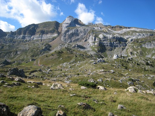
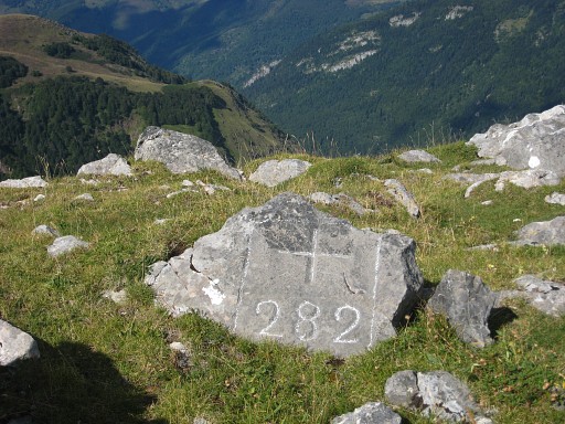
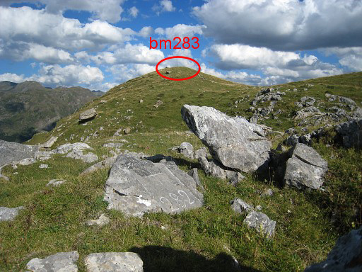
Further on - in a straight line 150m but to be reached by a semi-circle - bm283 In the distance: Lac d'Estaens or Ibon de Astanes. On the ridge straight on (125m to the W), you will find bm282 on the N-side of the ridge. |
 |
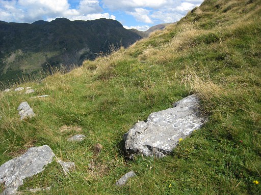
Bm283 |
 |
Bm283, looking back in the direction of bm284 |
 |
with this zoom-in of the apparent location of bm284, that is the summit of this hill. |
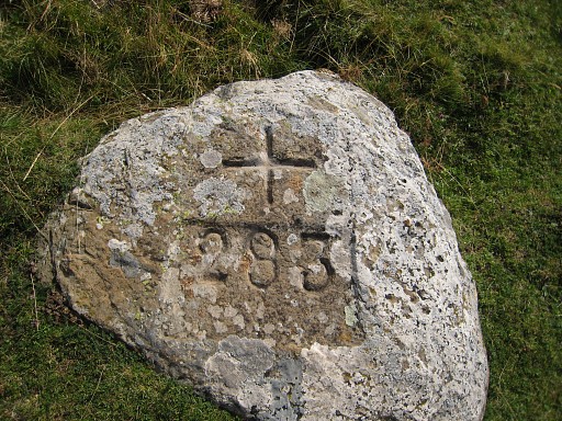 |
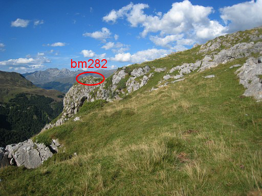
Bm283, zoom-in As said before: from bm283, go straigth on the ridge (125m to the W) and you will find bm282 on the N-side of the ridge. |
 |
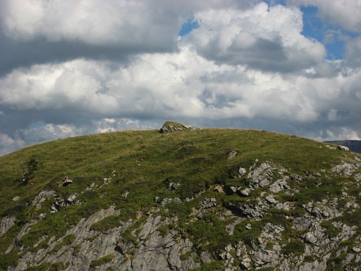
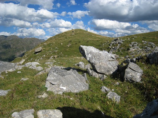
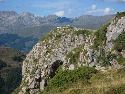
But bm282 wasn't easy to find on this field littered with rockpieces |
 |
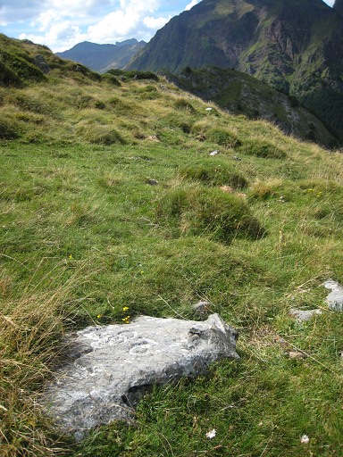
Bm282 |
 |
Bm282 |
 |
Bm282, looking back in the direction of bm284. |
 |
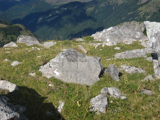
The same picture but the probable location of bm283, I'm not sure. |
 |
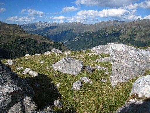
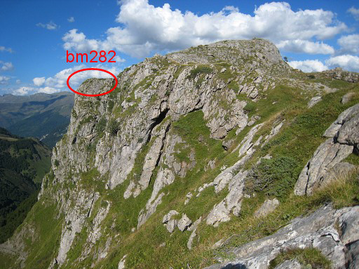
On my way to bm281, looking back at the location of bm282. It's a distinct outcrop of the ridge |
 |
with this zoom-in |
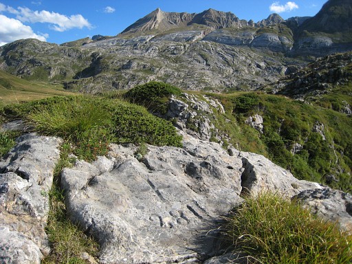 |
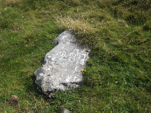
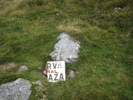
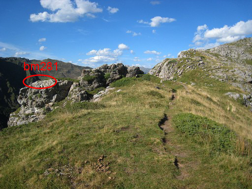
Finally I reach bm281 |
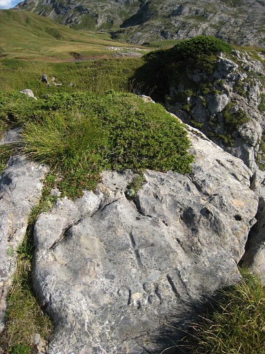 |
Bm281
|
 |
From bm281, this view NE along the ridge with the location of bm282. |
 |
with this zoom-in |
 |
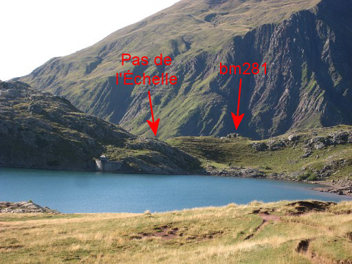
And this picture is taken more or less from the Pas de l'Échelle with a view NE back along the ridge. You can see that bm281 is also on a rocky outcrop of the ridge. |
 |
Time is pressing and I rush back (trailrunning when possible), later on joining the GR11. This picture: looking back in the direction of Pas de l'Échelle |
 |
with this zoom-in |
 |
This picture: I'm back at the point where the GR11 has emerged from the forest after Pas d'Aspe. What’s left for today are bm297 and its unnumbered submarkers. That requires to leave the GR11 at this point and undertake a tough climb S on rough terrain in a strong & chilly wind. |
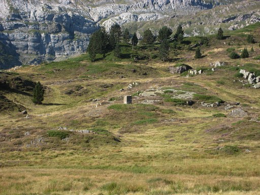
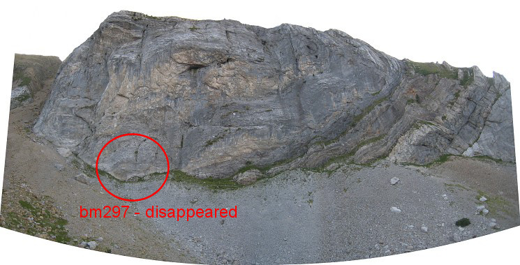 This picture: I have arrived at bm297 (that is to say: its replacement) and look S at the rockwall where once the bordercross bm297 was engraved. I think (based on the IGN-map) at the indicated location. The perspective of this panorama is somewhat distorted. |
|
|
This picture, a zoom-in from far away taken earlier today and shown before, gives a better perspective |
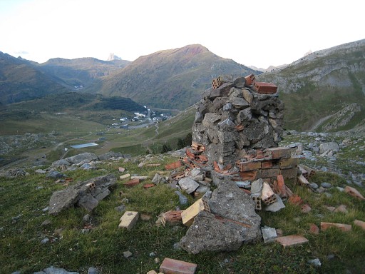 |
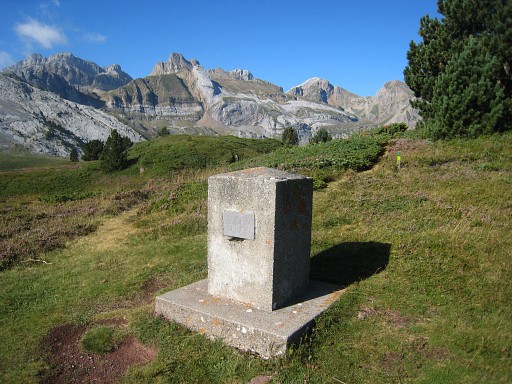
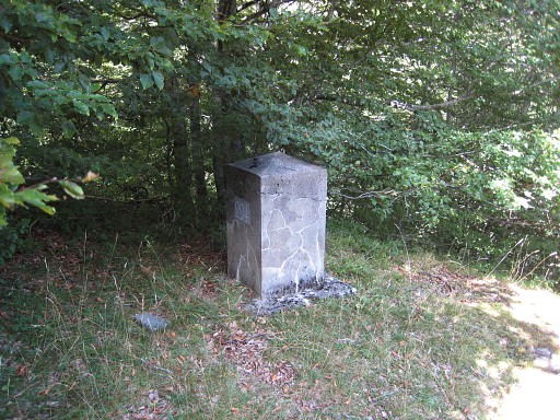
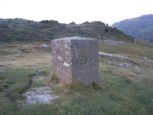
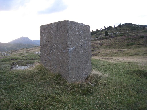
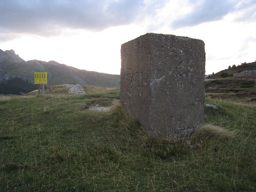
Bm297 - replacement - is a ruin, a disgrace I think. No number (anymore?). |
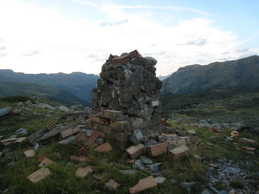 |
Bm297 - replacement
|
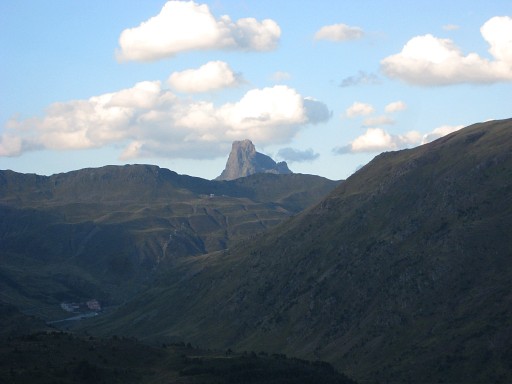 |
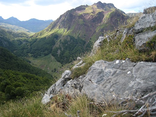
And this view to the Pic
du Midi d'Ossau, somehow making a pair with the other mythological Pic
in this area: Pic d'Anie. Or: the Pic du Trois Rois? |
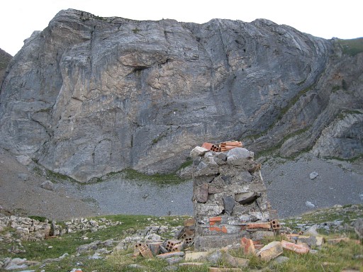 |
Bm297 - replacement - looking to the rockwall. |
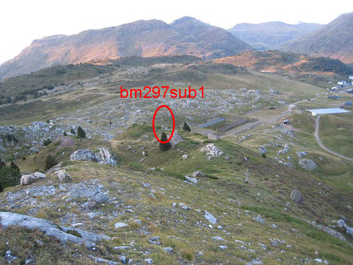 |
Then on a sort of ridge N to bm297sub1, |
 |
unnumbered with a wooden pole. |
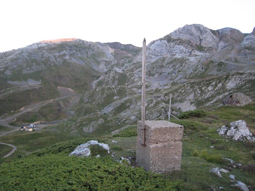 |
Bm297sub1 |
 |
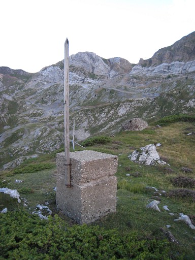
and beyond this bm, I find the giant bm297sub2, also unnumbered. |
 |
Bm297sub2 |
 |
Bm297sub2 Dusk has arrived and I hurry / run to my car, not following any particular trail. Then back 'home': my basecamp in Urdos. |