|
The
bordermarkers of the Pyrenees : all my trips
 |
|
| - friday 23 august
2013 - Traversing beneath the borderridge |
 |
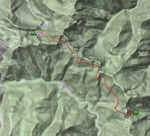 |
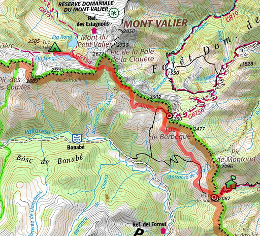
esfr-trip-track-20120823.kml (click to open this trip in Google Earth or copy link to Google Maps; click right on this link to download gpx-version) Summary: part of a 12-days trip to the Pyrenees with a lot of targets from the Ariège mountains to the Basque country Day 3: third day of a 6-days hike following the Ariège borderridge from bm418 to 425, today trying a traverse on the mountain slopes from Col de la Pale de la Clauère to Port d’Aula to Port de Salau Weather: sunny |
 |
For
explanation of
the gps-coordinates and other cartographic backgrounds: cartography-page Start: 9.00, break: 13-14 , finish: 18.00 , net walking time: 8h According to the gps-tripteller: Maximum height: 2522m other parameters unreliable because of partial failure of the gps. |
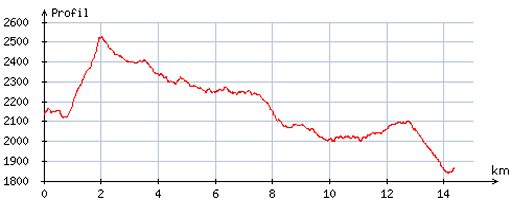 |
According
to visugpx - distance : 14,7 km - cum. elevation gain : 681m - cum. elevation loss : 955m - total elevation: 1636m - altitude maxi : 2526m - altitude mini : 1839m - altitude average : 2153m |
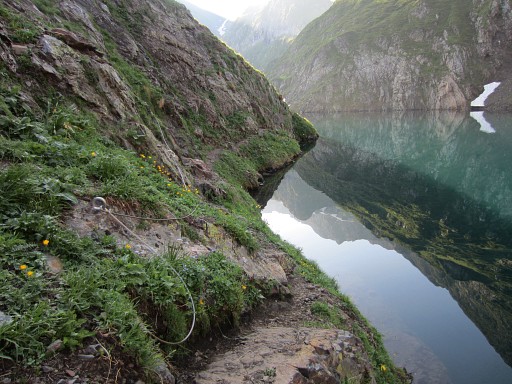 |
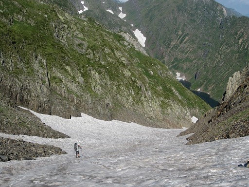
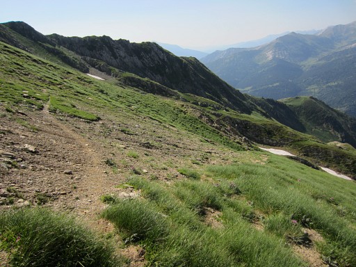
First
along Étang Long to Col de la Pale de la Clauère. The safety-cords along the lake are partly destroyed/loose which make some parts tricky. |
 |
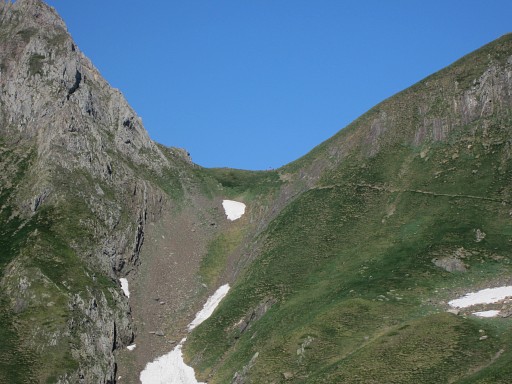
There’s still snow in the valley up to Col de la Pale de la Clauère which I already noticed yesterday. |
 |
But the first part of the climb (red/white waymarked) to Col de la Pale de la Clauère is on the green strip on the left. |
 |
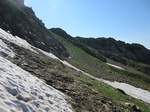
Only much higher |
 |
the red/white waymarks disappear under the snow . But then I can easily walk on the snow because the inclination is small |
 |
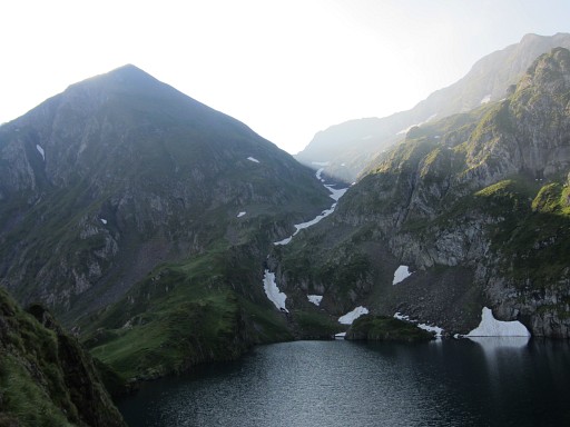
Looking back, the Étang Long still visible. |
 |
And so I continue on the snow until the final climb to the Col. This picture: I've reached the Col |
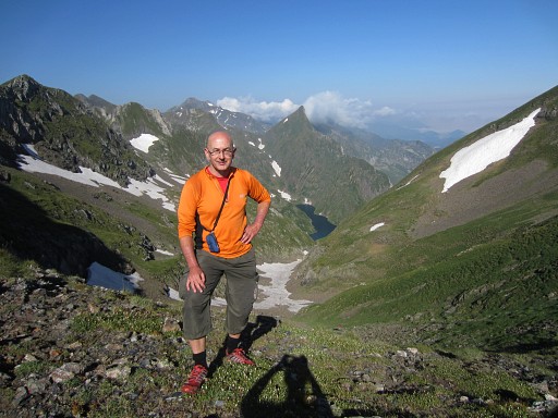 |
And as you can see, I get a little bit sun-tanned after two days of walking in the sun. |
 |
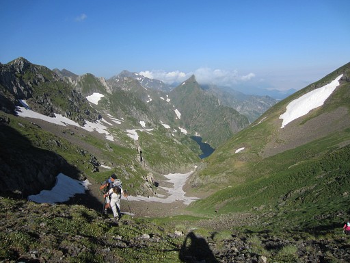
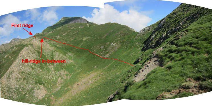
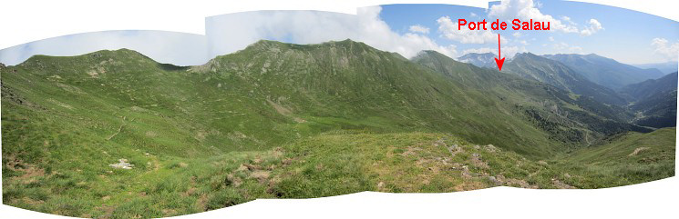
From the Col, a SE-route on the
mountain-slopes will lead me to Port d’Aula in ± 2h while crossing two
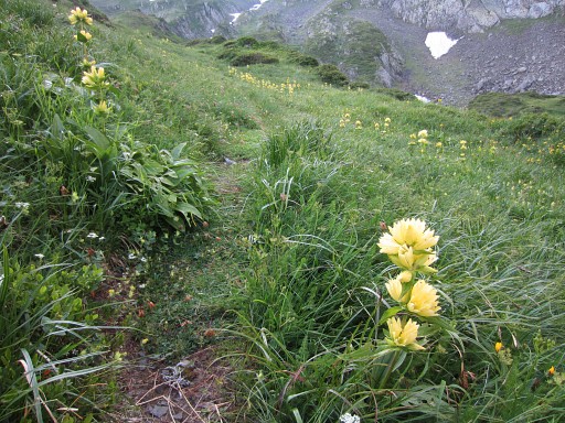
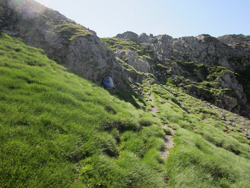
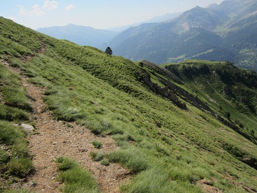
NS-ridges. That divides the route to Port d'Aula in 3 parts: 1. From Col de la Pale de la Clauère on a non-waymarked trail to a ridge/cliff and climbing over it. That's fairly easy. This picture: the trail of part 1 (approximately) |
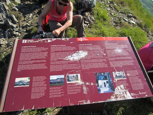 |
And also on this border-pass an information panel about the refugees fleeing France in WWII. |
 |
I'm on my way |
 |
and look back to Col de la Pale de la Clauère |
 |
Zoom-in of Col de la Pale de la Clauère |
 |
I'm approaching the first ridge to cross = the end of part 1 |
 |
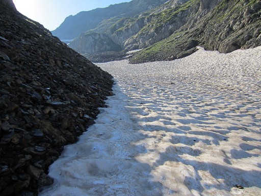
Some leftover snowfields to tackle |
 |
and a last look back to Col de la Pale de la Clauère. |
 |
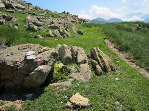
I'm allmost at the ridge and am surprised |
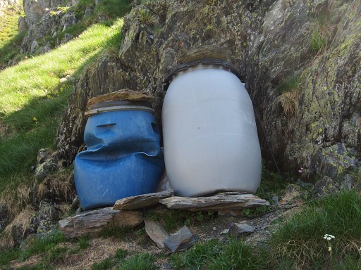 |
by these plastic drums. Why here? |
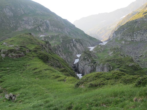
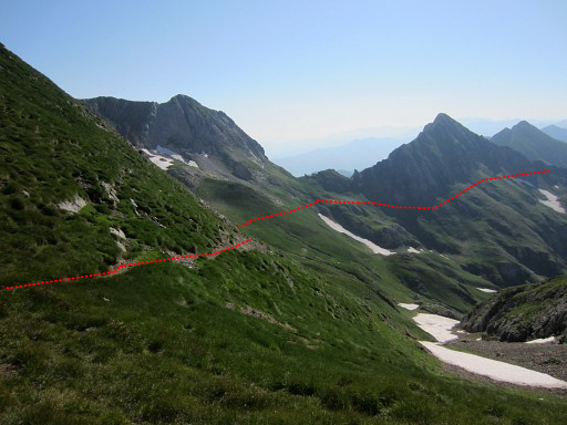
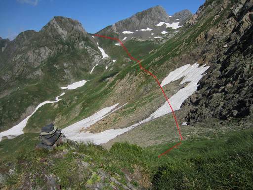
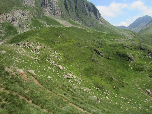
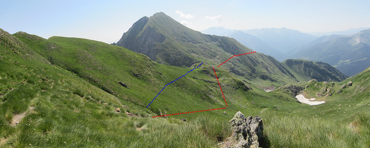 This picture: taken from the ridge. We're looking to the second part of the trail to Port d'Aula. Part 2: the trail first descends to a ‘bottom’ - a valley floor -, then climbs S to the second ridge. PM: I took a route too high in the beginning (the blue line), I should have descended more directly to the bottom |
|
 |
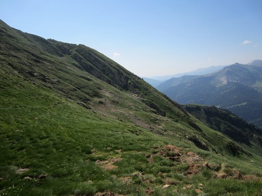
I'm on my way, I just climbed over a hill-ridge in-between. |
 |
The trail ahead is well visible. |
 |
The climbing gets a bit annoying: a tilted and slippery path. Pink waymarks have appeared. |
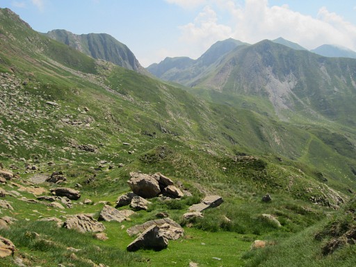
 I'm approaching the second ridge and look back.
|
|
 |
The last stretch of the second part. |
 |
Zoom-in |
 |
Almost at the second ridge |
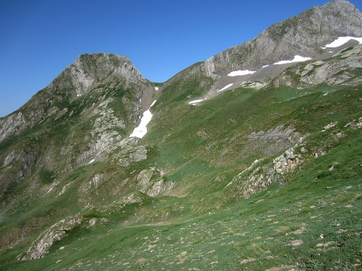
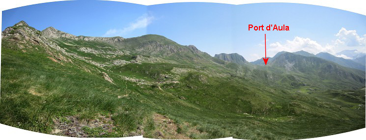 Part 3: from this second ridge the Port d’Aula is now visible |
|
 |
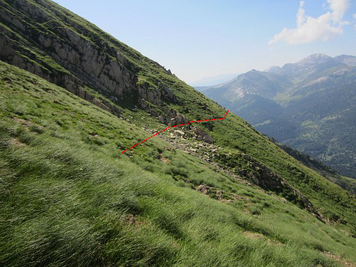
and the pink trail brings me - now more comfortable - to it. At one point I made a shortcut where the pink trail seemed to vanish. |
 |
I'm getting closer to Port d'Aula |
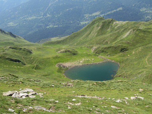 |
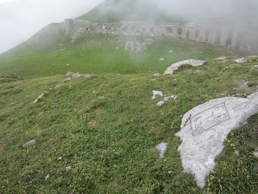
The Estany del Port d'Aula |
 |
And now we're allmost there |
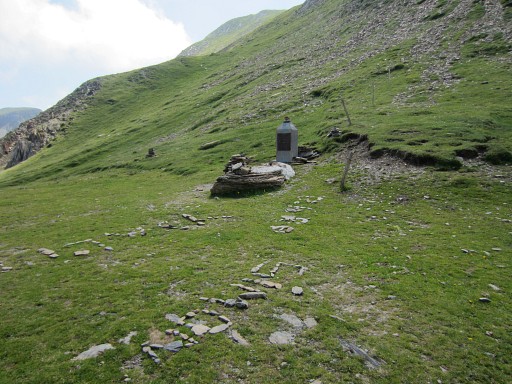 |
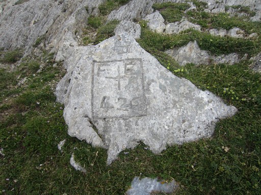
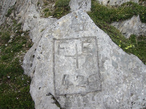
at Port d'Aula with bm421 |
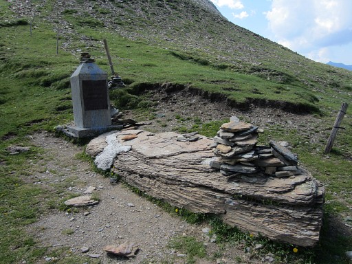 |
Bm421 |
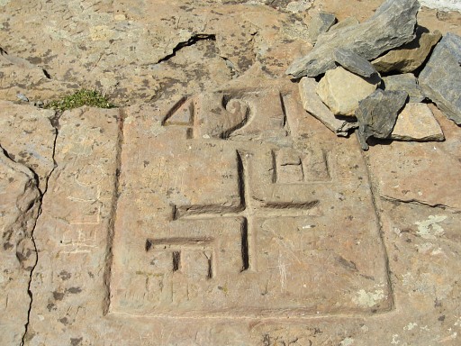 |
Bm421 |
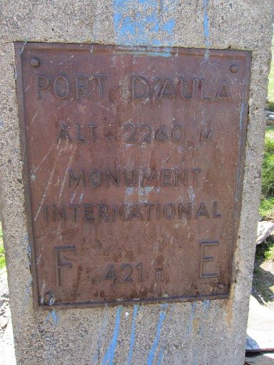 |
Bm421 |
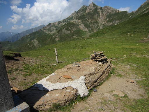 |
Bm421 |
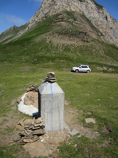 |
Bm421 Lunchbreak at Port d’Aula |
 |
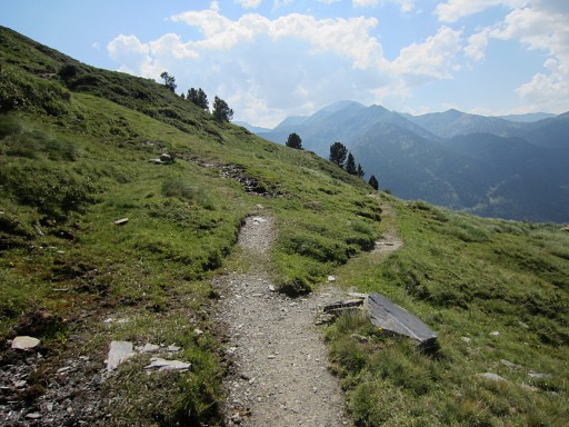
Then from Port d’Aula to Port de Salau.
That’s proves to be easy: an abundantly white waymarked trail leads me almost the whole way. It will take me ± 2½h. |
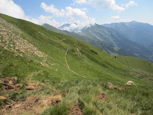 |
The trail bends on a next ridge and then |
 we can see the next valley with Port d'Aula in the far distance. |
|
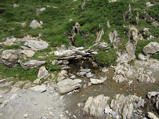 |
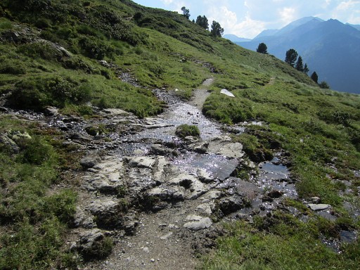
The white trail passes a source later on (the first watersource since Étang Long) and some little streams later on. |
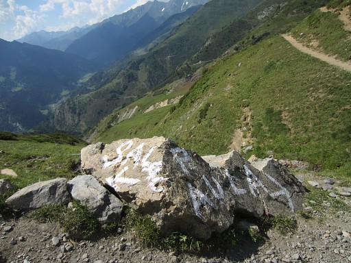 |
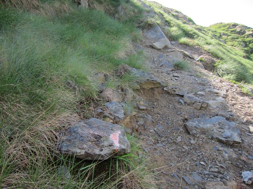
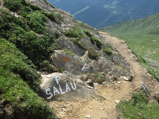
But then the white waymarking stops
abruptly at this large painted sign. I almost can’t believe it and return to check it. In fact the white trail is continued by a sparsely yellow waymarked trail. |
 |
If you continue the path from the end of the white waymarking, you have to be attentive to see the (yellow) branch to the left. |
 |
And that's after ± 150m, right after this a small stream crossing the path. |
 |
The yellow trail will bring me to Port de Salau. |
 |
Port de Salau |
 |
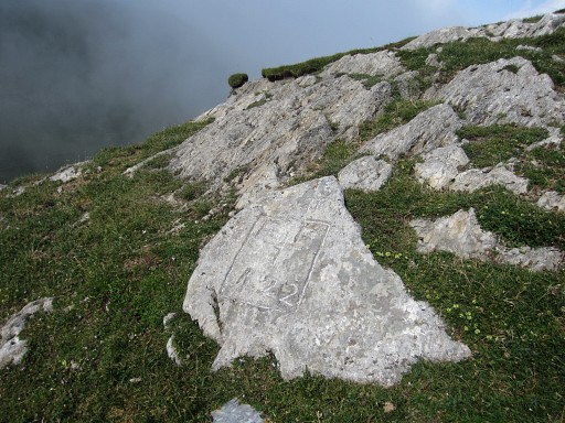
Bm422 |
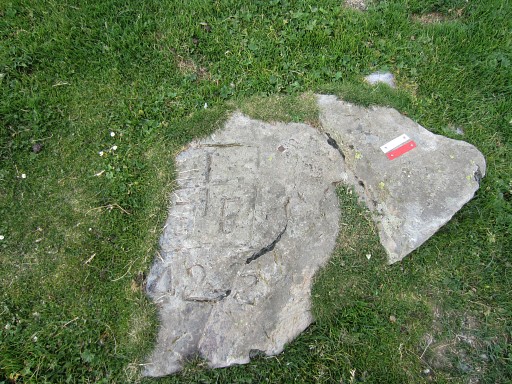 |
Bm422 |
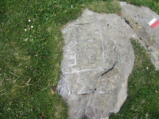 |
Bm422 |
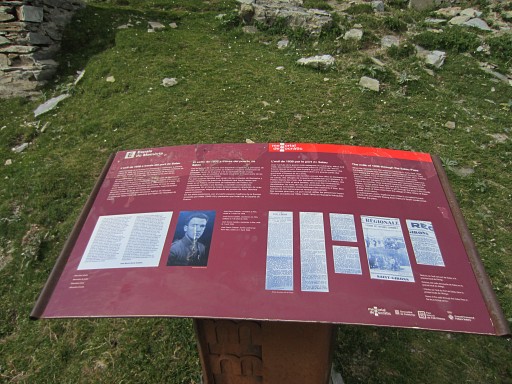 |
And also here an information panel about the refugees in WWII |
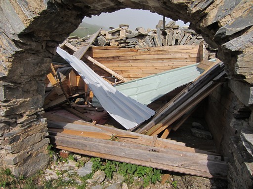 |
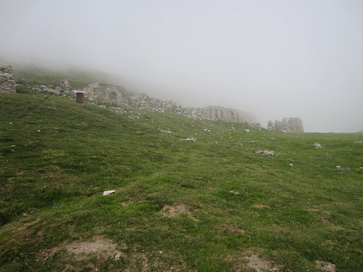
The ramshack and dirty refuge built in the ruines has collapsed. |
 |
On the hillside 75m to the SE, there's bm422bis |
 |
Bm422bis |
 |
Bm422bis |
 |
Bm422bis |
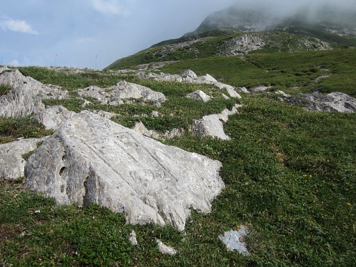 |
Bm422bis |
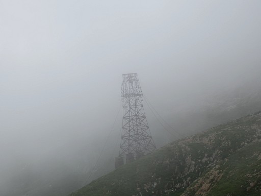 |
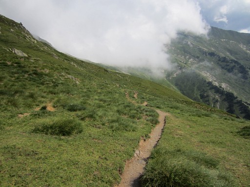
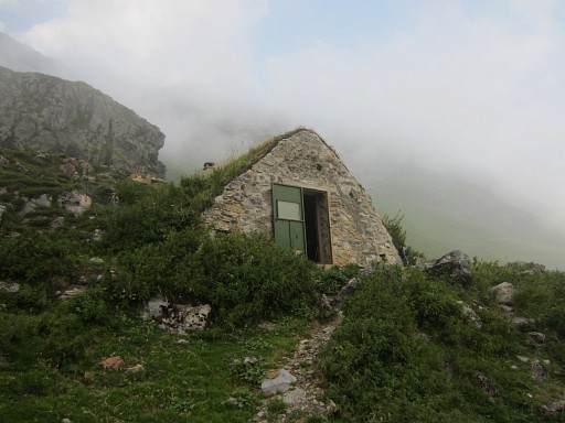
After ‘doing’ bm422 and 422bis, I descend to the nice and comfortable Cabane de la Lanne. It's foggy in France. |
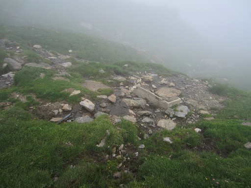 |
Beyond the refuge, there's this source at ± 300m, to the right of the trail. |
 |
Back at the refuge |
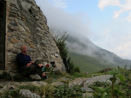 |
where I enjoy |
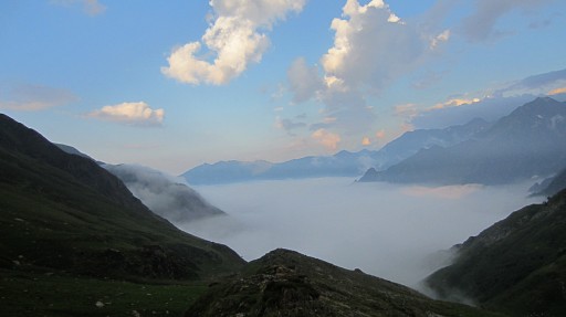 |
the evening-views |