|
The
bordermarkers of the Pyrenees : all my trips
 |
|
| - sunday 13 september
2015 - Return to Latour-de-Carol |
 |
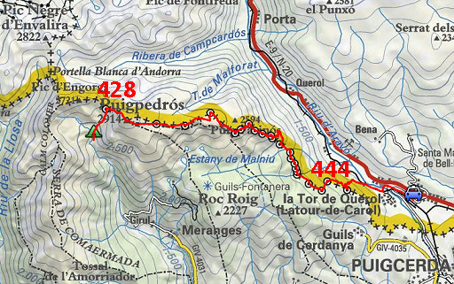 |
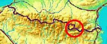
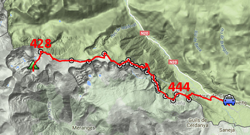
track-20150913.kml (click to open this trip in Google Earth or copy link to Google Maps; click right on this link to download gpx-version Summary: part of a 10-days trip to the Pyreneesé, mainly meant as a reconnaissance for the GRPdesBF. Today: climbing to bm428 and the Puigpedrós and crossing the plateau and descending to Latour-de-Carol. Weather: very strong wind, cloudy in the beginning, sunny later on. |
 |
For
explanation of
the gps-coordinates and other cartographic backgrounds: see the cartography-page The gps-track has not been manually corrected which explains the inaccuracy and misalignment at some points. GPS - 21,3 km - max H = 2935m - elevation gain: 1359m - time: 9:34h Started at 7:30 , finish at 17:00 = 9:30h net walking time |
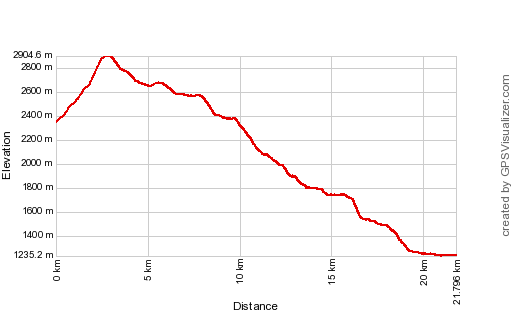 |
According to Gps-Track-Analyse - distance : 22.1 km - cum. elevation gain : 902m - cum. elevation loss : 2016m - total elevation: 2918m - altitude maxi :2905 m - altitude mini : 1235m - altitude average : 2068m |
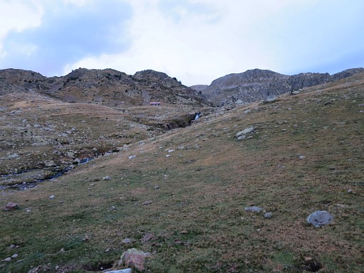 |
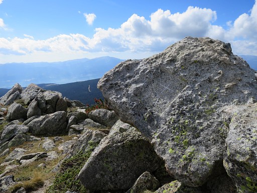
Clear skies today, it seems. View from my bivouac-spot to the cabin of Refugi d'Engorgs which was occupied yesterday. |
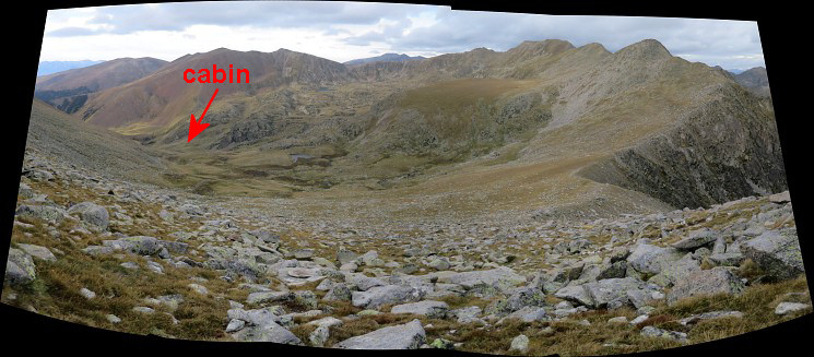
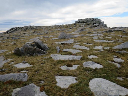
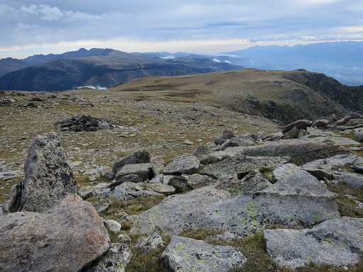
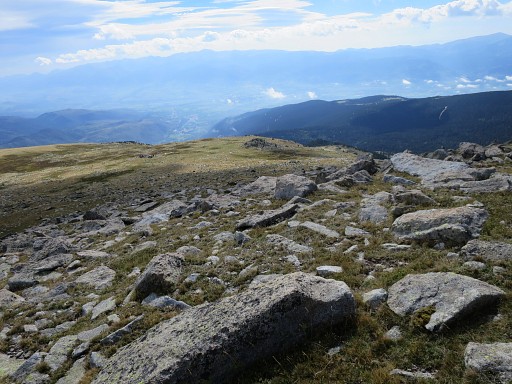
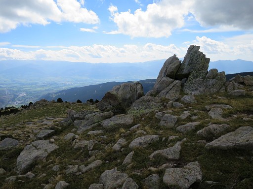
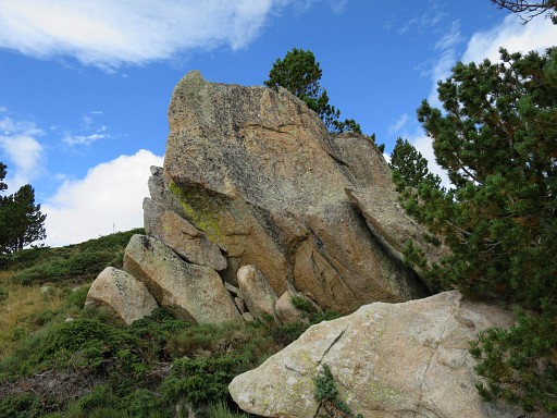
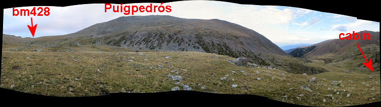 I climb back to Portella Blanca de Meranges (bm428). This panorama shows the terrain. |
|
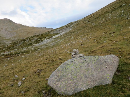 |
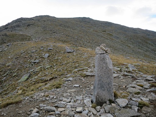
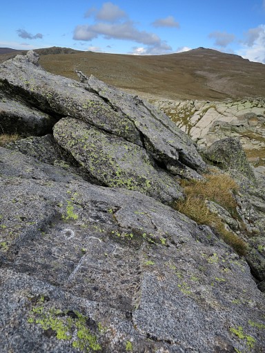
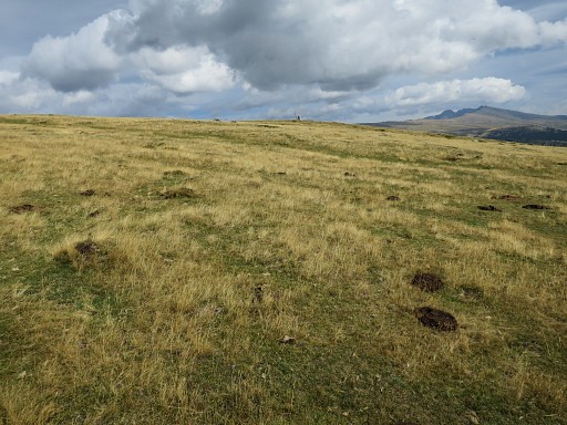
There's an occasional cairn but too few to count on. But you don't need them, just head N. There are no trails. |
 |
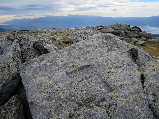
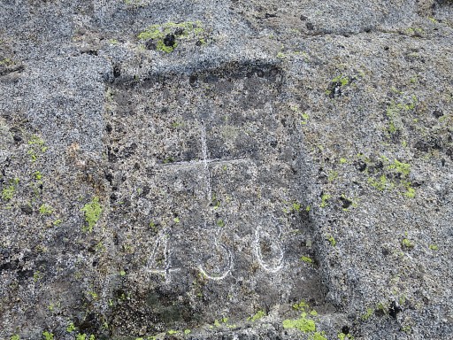
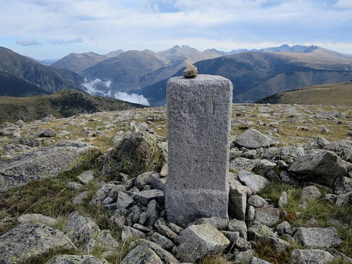
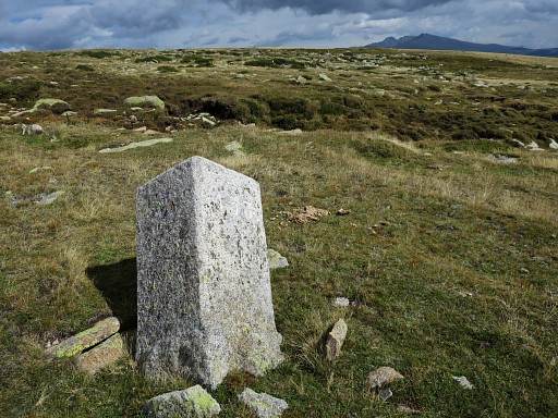
After 45 min I arrive at bm428. This picture: looking into France. I was here yesterday in foggy weather. Now it's clear but the wind is very strong. |
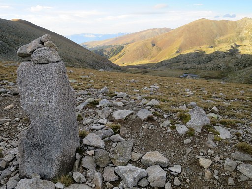 |
Bm428, looking into Spain |
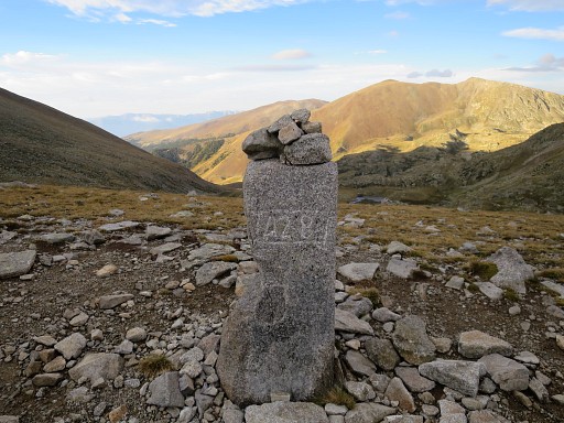 |
Bm428 |
 |
Bm428, looking NW |
 |
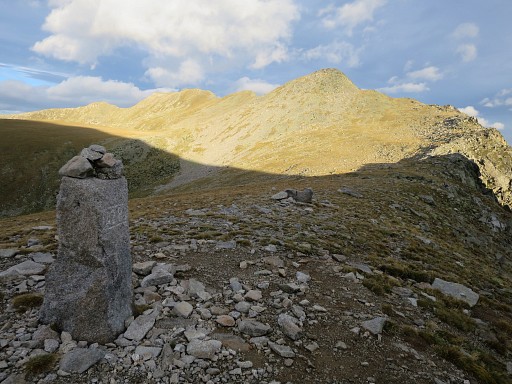
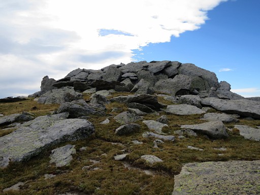
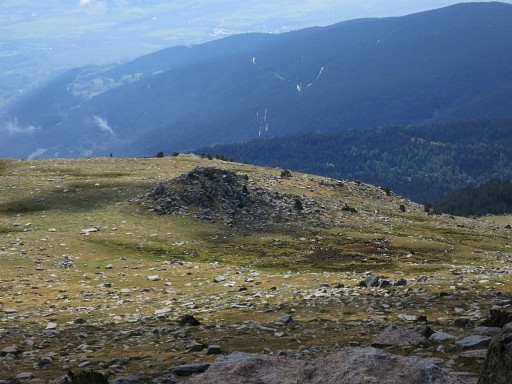
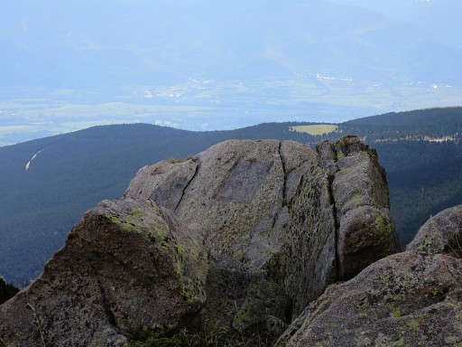
Bm428, looking SE to the summit of Puigpedrós. There's a trail uphill waymarked with cairns. |
 A panorama-view back into the valley where I climbed from. |
|
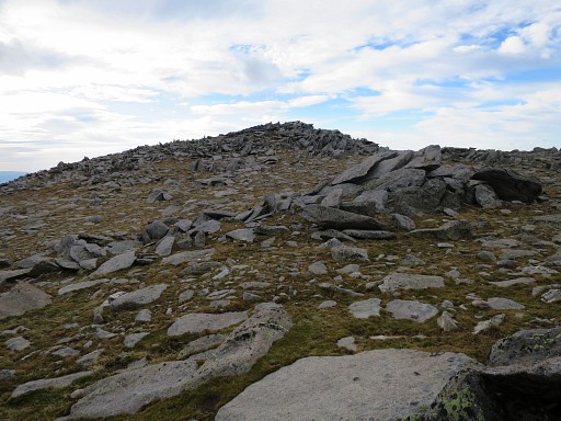 |
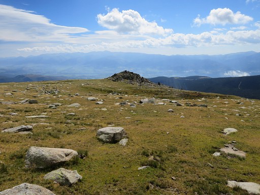
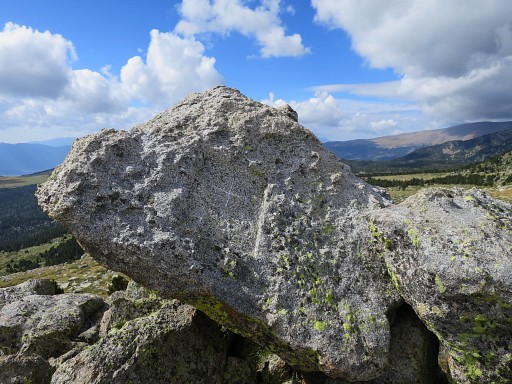
I have climbed almost to the summit - the Puigpedrós - |
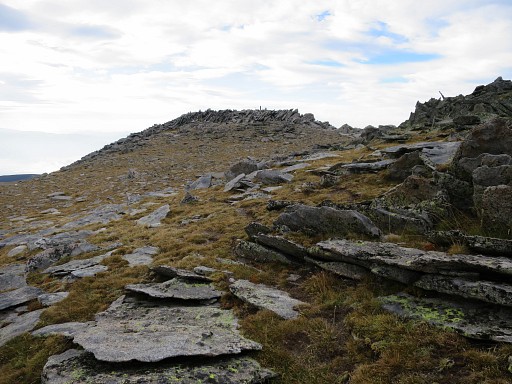 |
which is a bit further and the third hilltop on the ridge and clearly the highest. |
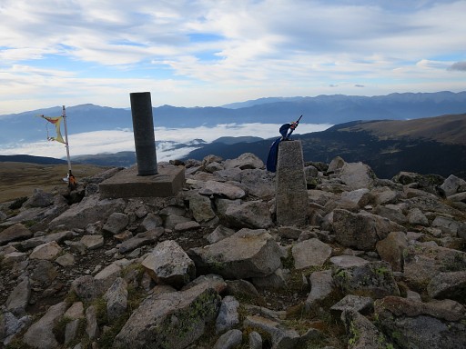 |
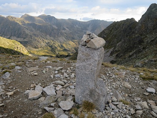
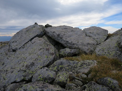
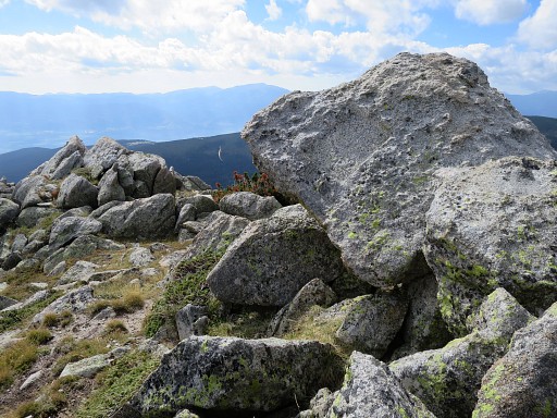
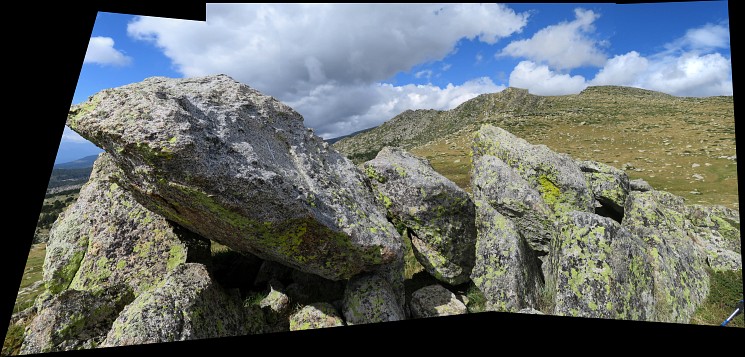
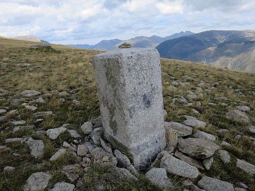
A geodesic marker at this rocky hilltop. It took me 2h from my camping spot to the summit. This spot -officially 2915m - is the highest point on the entire GRPdesBF. In fact you don't need to 'do' the Puigpedrós - you can head straight from the ridge to bm 439 - but as a famous mountain-top it's included in the GRPdesBF. |
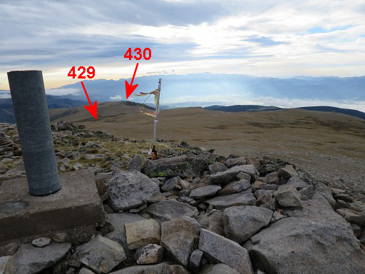 |
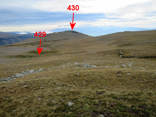
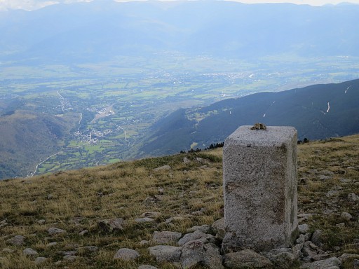
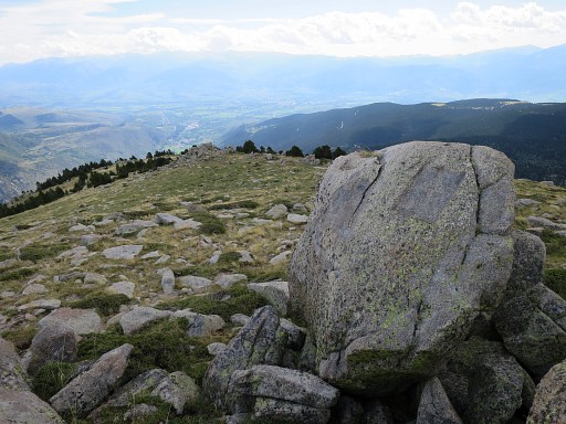
Puigpedrós, looking E over the plains where the borderline is a straigt line to bm430 with bm429 in between. |
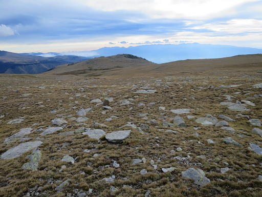 |
No trail, no waymarks, just cross the plains eastwards to the hilltop. |
 |
After ± 750m (from Puigpedrós) a stream appears |
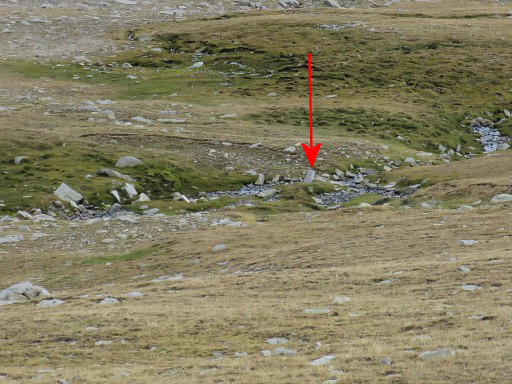 |
and in this zoom-in you can spot further on a bordermarker. |
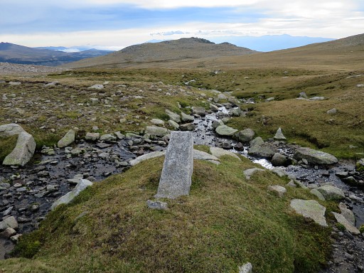 |
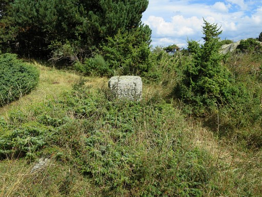
This is that bordermarker which is not an esfr-bordermarker but a local marker. As you can see, it's is a confluence of two streams. You might bivouac around here. But its high and exposed here. |
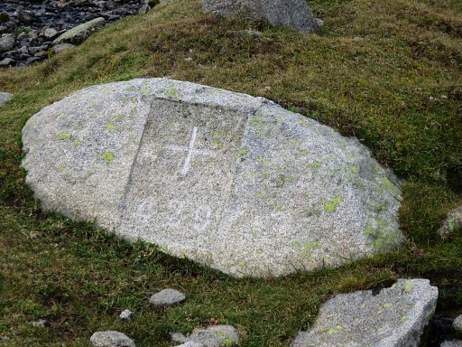 |
Bm429 is at the foot of the local marker. |
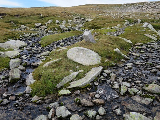 |
Bm429 |
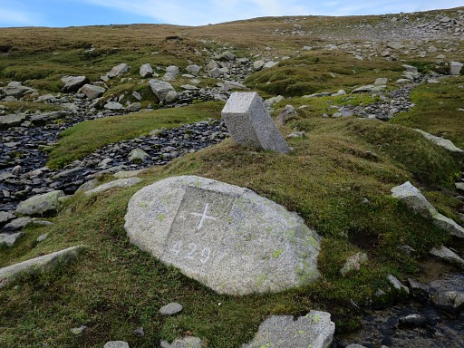 |
Bm429 |
 |
Then straight on to the hilltop 1200m to the E |
 |
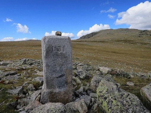
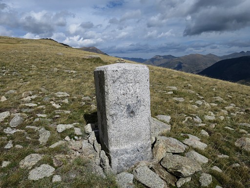
At the top of this rocky hilltop , I find bm430 |
 |
Bm430 |
 |
Bm430 |
 |
Bm430 |
 |
Bm430 |
 |
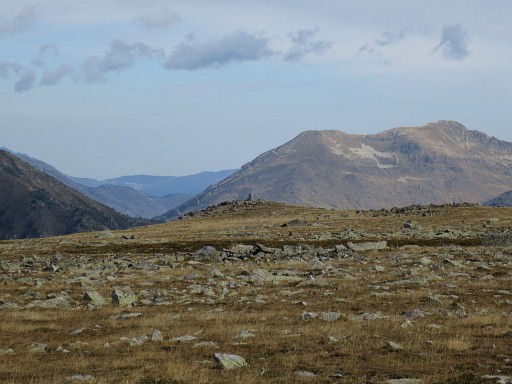
Bm430, looking back to the Puigpedrós. |
 |
This is how the rocky hilltop of bm430 looks like from some distance. |
 |
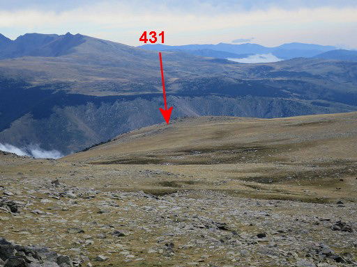
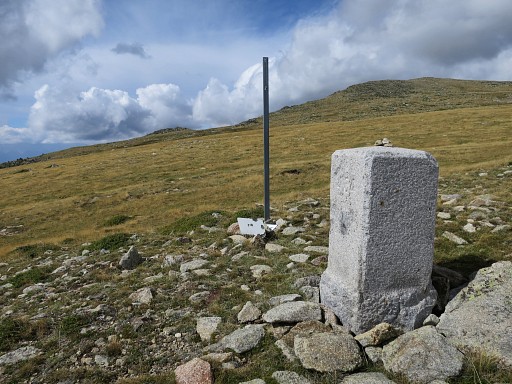
Now continuing 1200m to the NEE to bm431. I expect a next distinct hilltop and first head wrong. But bm431 is a pillar. |
 |
Zoom-in of previous picture |
 |
Getting closer |
 |
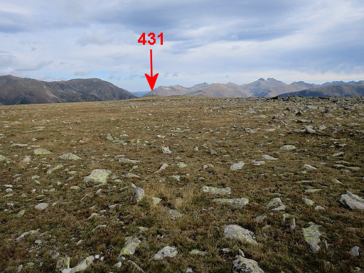
Zoom-in, bm431 becomes visible |
 |
Bm431 |
 |
Bm431, looking towards the direction of bm430. |
 |
Bm431 |
 |
Bm431, looking towards the direction of bm430 where I came from. |
 |
Then 1300m to the SE - gradually descending - to bm432. According to the French IGN-map there's an unnumbered bordercross in between. But I didn't look for it. |
 |
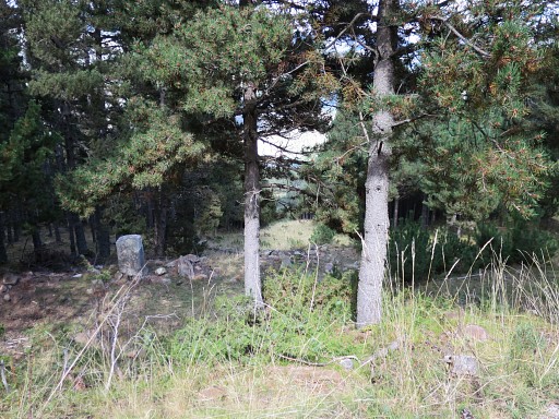
The small hilltop where bm432 can be found. |
 |
Getting closer |
 |
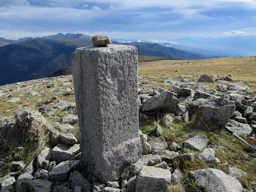
Bm432 at the top of that hilltop |
 |
Bm432 |
 |
Bm432 |
 |
Bm432 |
 Bm432, looking back where I came from. |
|
 |
Bm432 |
 |
Another view of the hilltop, now from the NE |
 |
with this zoom-in of bm432 |
 |
Bm432 |
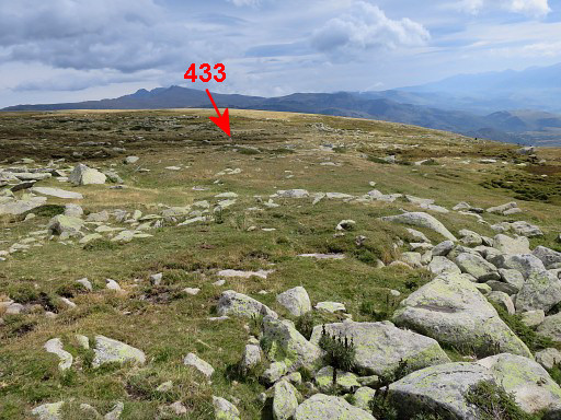 |
The next bm (433) is to the NE at 250m |
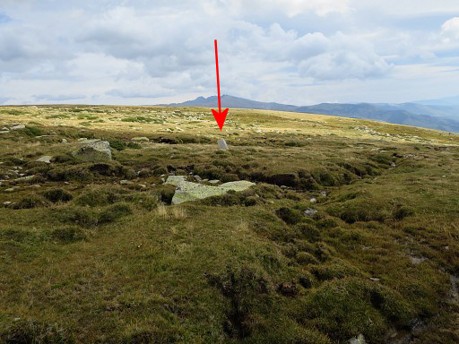 |
and might be missed because of its tilted position. |
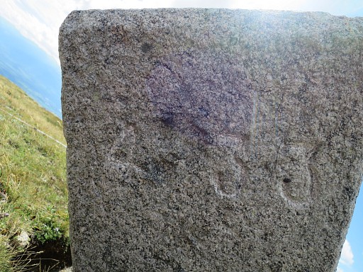 |
Bm433 |
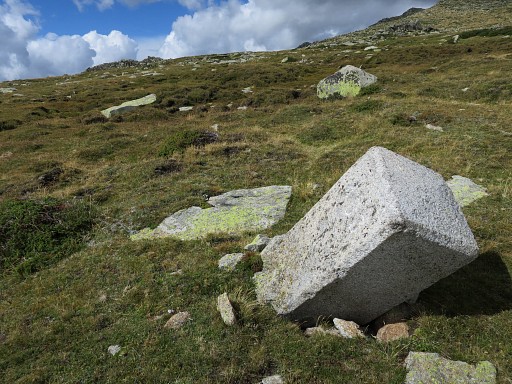 |
Bm433 |
 |
Bm433 |
 |
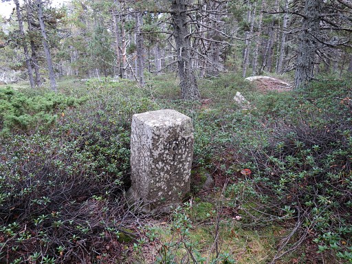
Then continuing straigt on (NE) for 400m to bm434. This picture: bm434 in the distance. |
 |
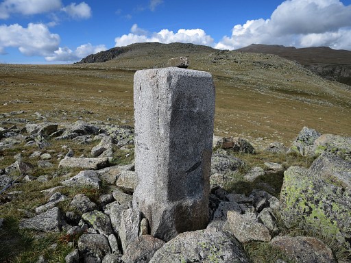
Bm434 |
 |
Bm434 |
 |
Bm434 |
 |
Bm434 |
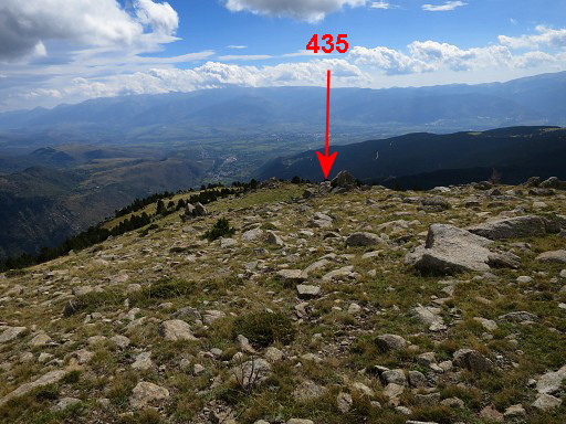 |
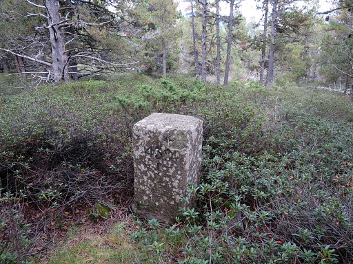
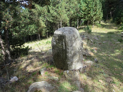
Bm434 is at the end of the large and high plains where bm429-434 are placed. It took me 2.30h to cross the plains from Puigpedrós to bm434. Now I descend SSE for 350m to bm435 which can be easily missed. |
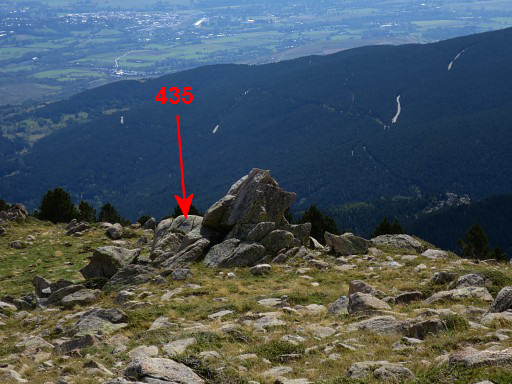 |
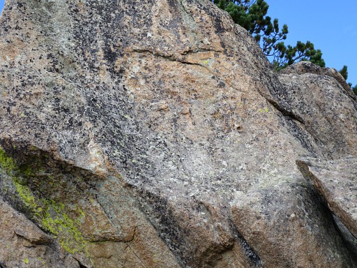
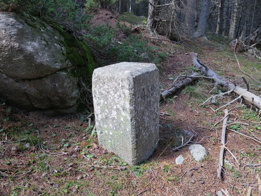
Bm435 is engraved at this rock formation |
 |
Bm435 |
 |
Bm435 |
 |
Bm435 |
 |
Bm435 |
 |
Bm435 |
 |
Then descending further - now SEE - to bm436 at 350m from bm435 |
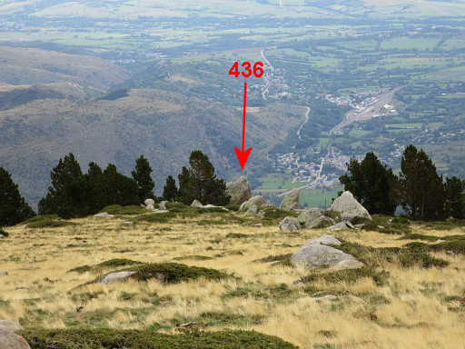 |
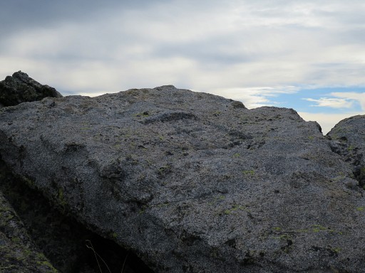
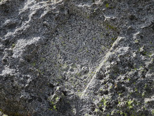
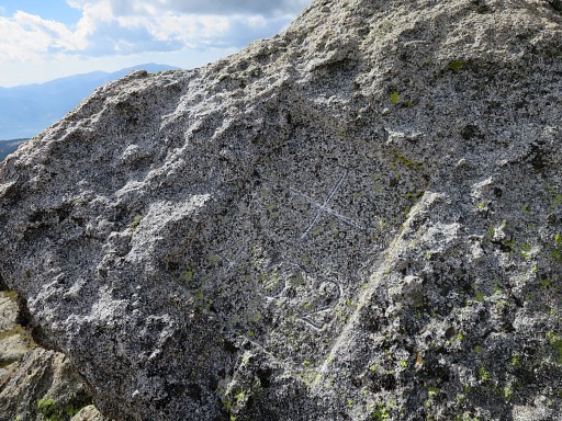
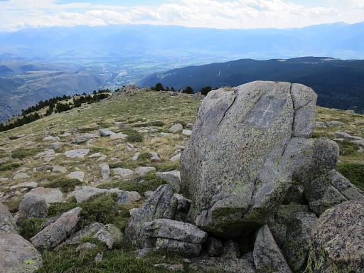
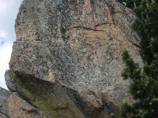
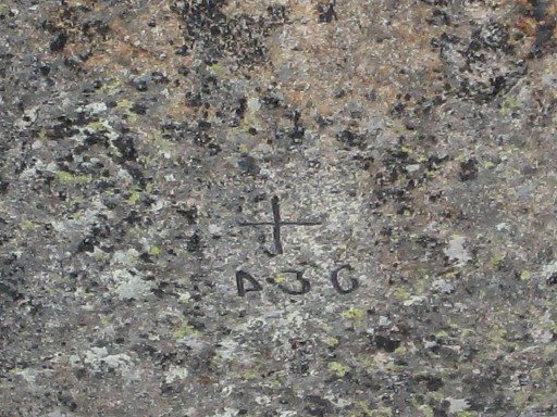
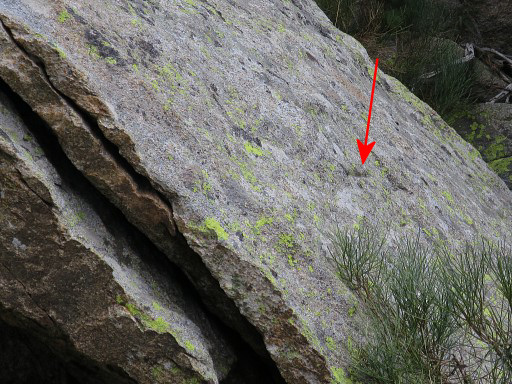
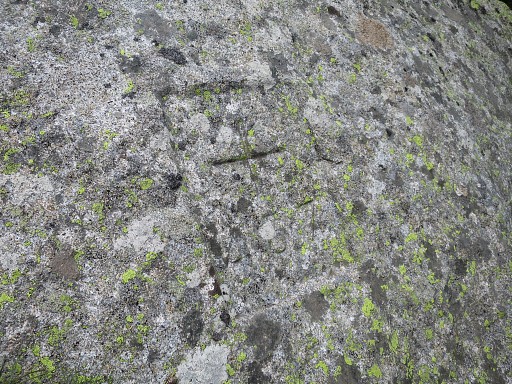
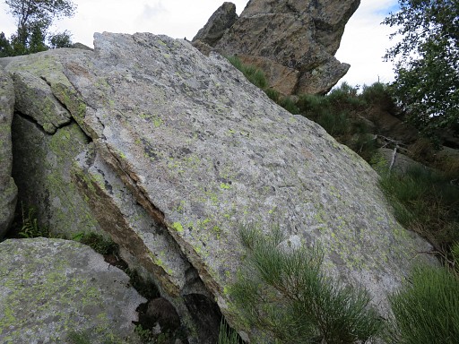
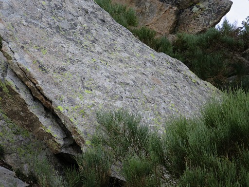
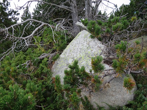
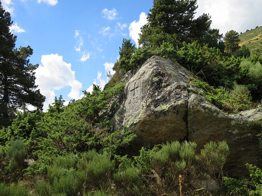
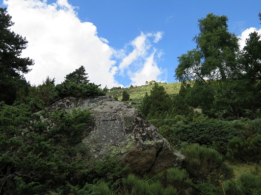
Bm436 is engraved at a large and well recognizable boulder, |
 |
this one. |
 |
The boulder seen from the other side. Bm436 is engraved at this side but is very difficult to recognize. From the side of the boulder you could climb to it but I found it too risky. |
 |
Bm436 |
 |
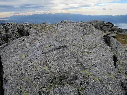
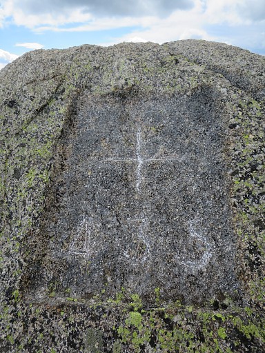
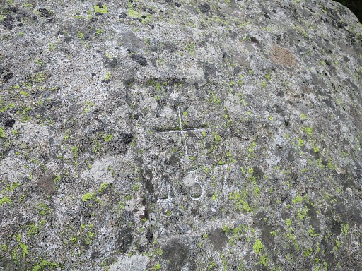
Let's compare it with a picture from 20100710 when cross and number were painted. |
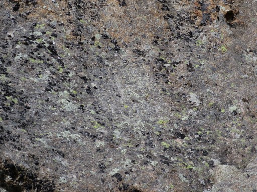 |
We know now where bm436 is engraved but still it's hard to recognize anything. |
 |
But if we compare it with a picture from 20100710 when cross and number were painted, we can distinguish better cross and number. |
 |
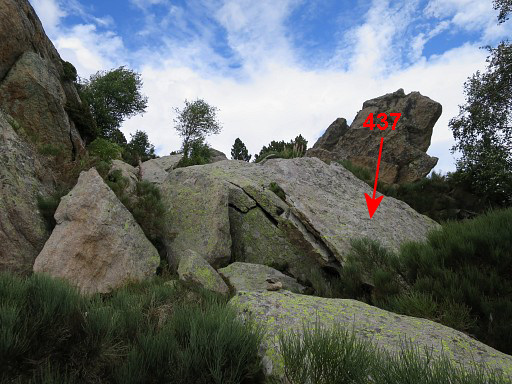
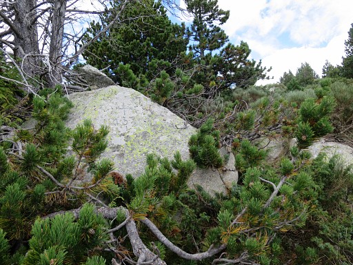
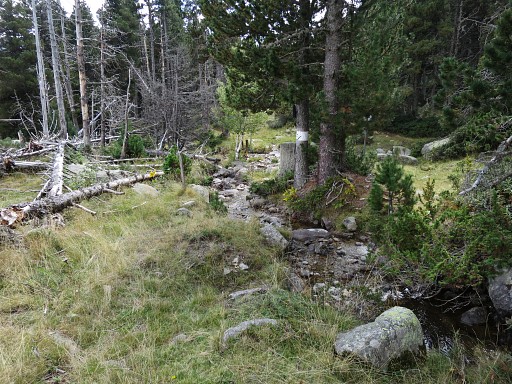
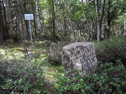
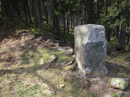
Continuing downhill, a sign like this is a bordermarker in itself. The next bm (437) can be found |
 |
at the right side of this forest strip at the most southern side of a few rock formations. |
 |
But bm437 is not easy to find without a clue like this picture and |
 |
this zoom-in |
 |
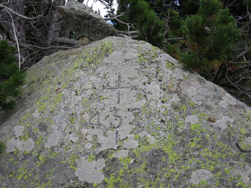
Bm437 |
 |
Bm437 |
 |
Bm437 |
 |
Bm437 from some distance |
 |
Bm437, zoom-in from previous picture |
 |
Bm437 I is not far away from bm437 - 125m to the SE - but is hidden behind trees. |
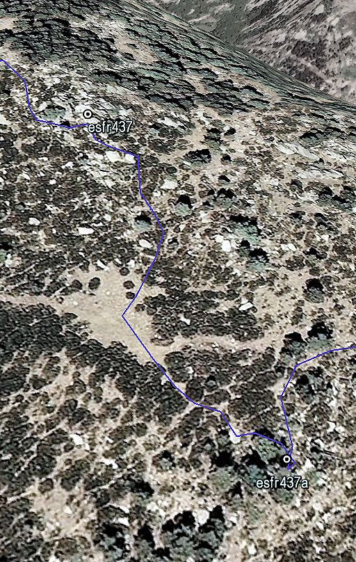 |
This Google Earth screenprint might help you to find it. There is an open grassy space in between which helps orienting. |
 |
Bm437 I |
 |
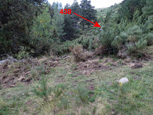
Bm437 I But how to get to bm438? A direct descent SE is not impossible but difficult because of the thick broom undergrowth. I decide to find a more elegant way. |
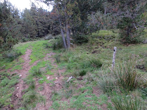
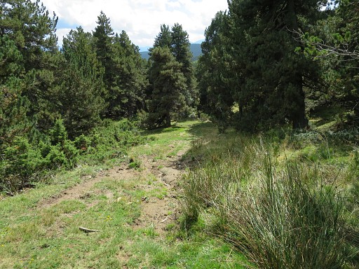
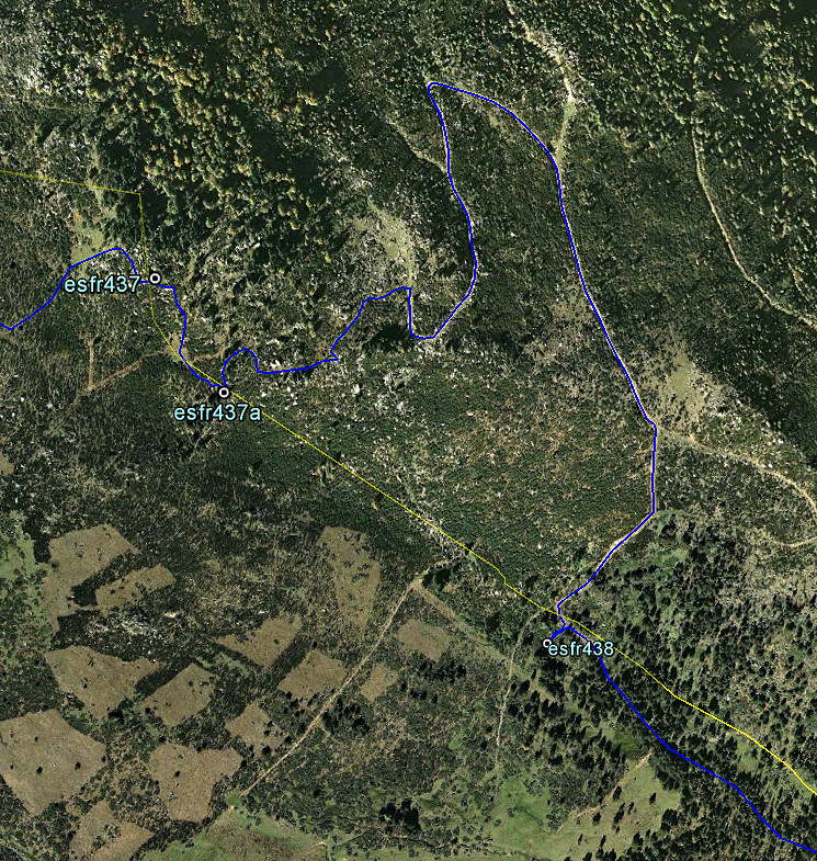 From the open space between bm437 and 437 I there's a vague and grassy dirtroad going E. After 250m it merges with distinct dirtroad. Go right (=S) and follow this dirtroad, descending in its windings (S-N-SE-S) for 750m until |
|
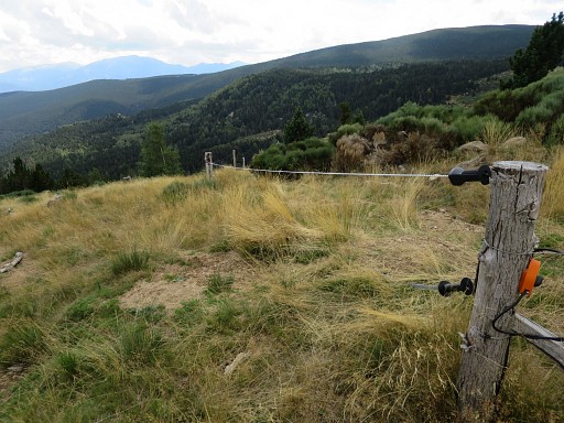 |
this fence appears at your right hand. Now continue S along this fence for 100m |
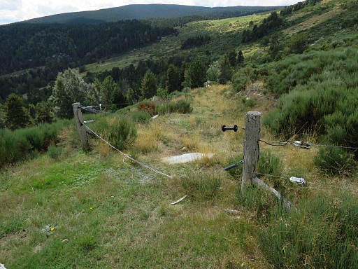 |
until this fence-crossing. Cross the fence and follow the grassy dirtroad for 150m downhill |
 |
passing this rock. |
 |
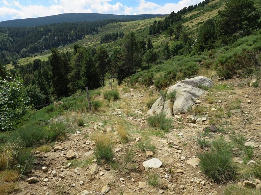
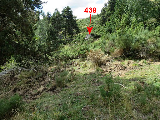
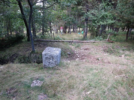
Then the dirtroad bends SE and after 25m you are here. Bm438 is nearby but hidden at 25m distance at the right side of the fence |
 |
View SW from the fence towards the boulder of bm438. |
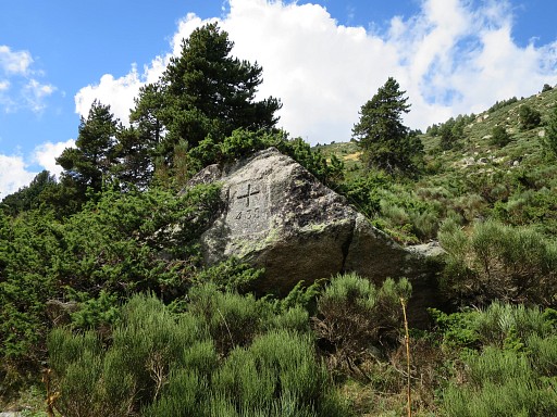 |
Bm438 |
 |
Bm438 |
 |
Bm438 |
 |
Back at the fence and looking back at the boulder with bm438 |
 |
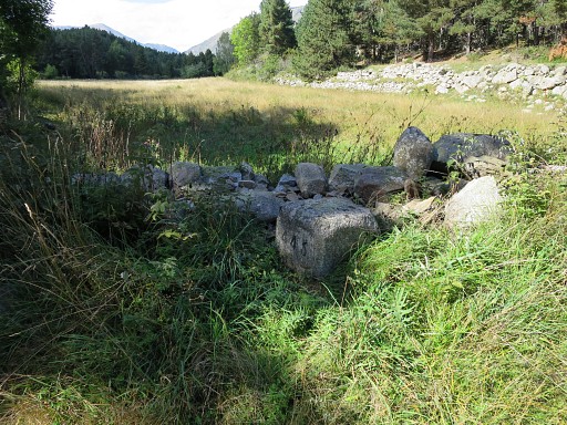
Wayfinding becomes easier now. Descend further along the dirtroad for 150m and keep straight on, entering the forest. |
 |
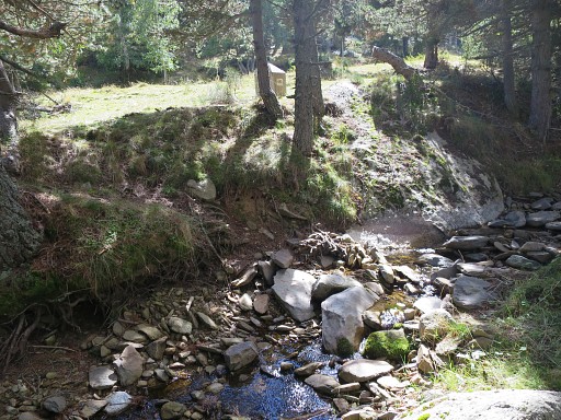
A little stream appears at the right side, keep that in sight because |
 |
bm439 is placed along this stream. Distance from bm438 = 500m SE. |
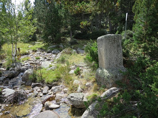 |
Bm439 |
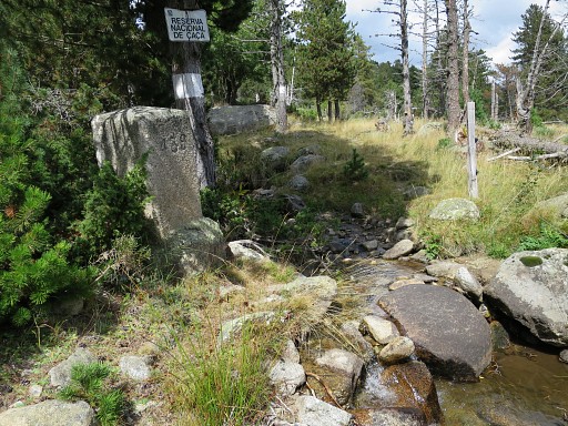 |
Bm439 I cross the stream and now continue for ± 1km to the S and SSE to cover bm439 I to bm440 with first keeping a fence at my left hand. Finding these bordermarkers is easy. |
 |
Bm439 I |
 |
Bm439 I |
 |
Bm439 I |
 |
Bm439 II |
 |
Bm439 II |
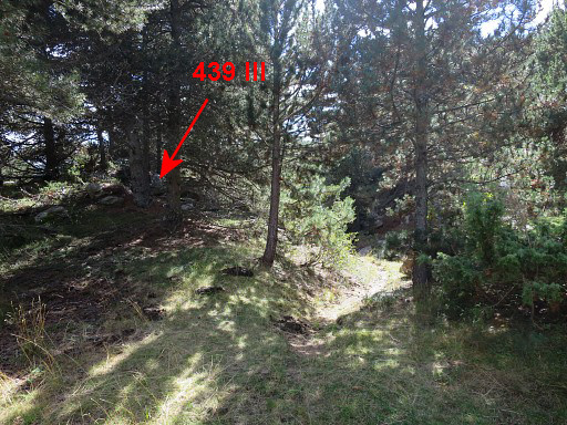 |
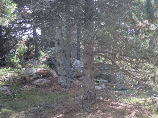
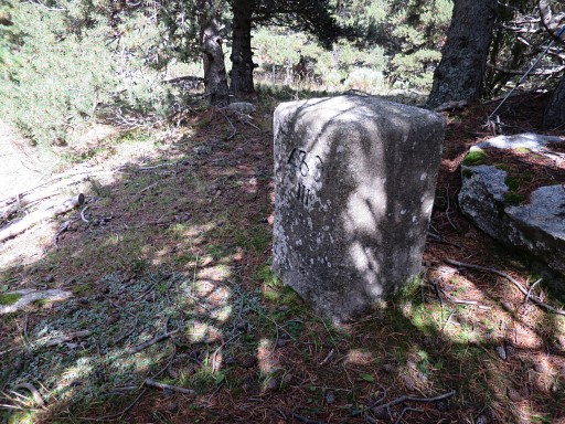
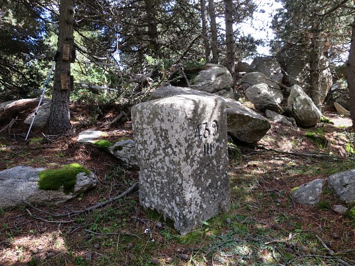
Bm439 III is hidden under a tree. |
 |
Bm439 III |
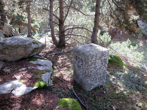 |
Bm439 III |
 |
Bm439 III Down below the trail to continue S to bm440. |
 |
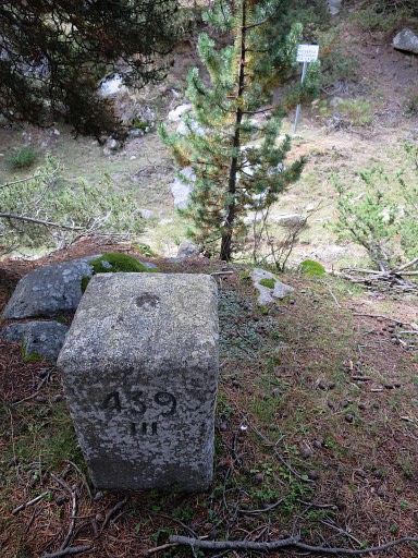
Bm439 III |
 |
Bm439 III |
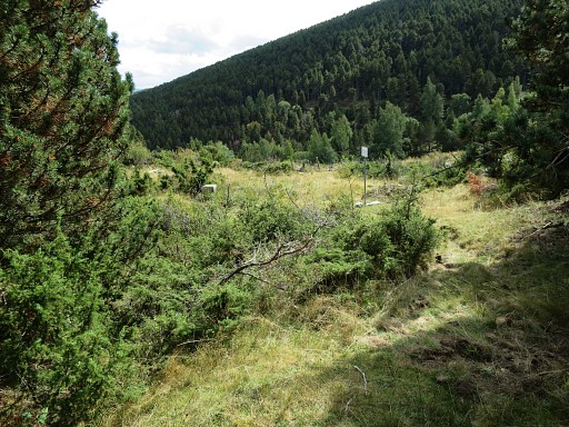 |
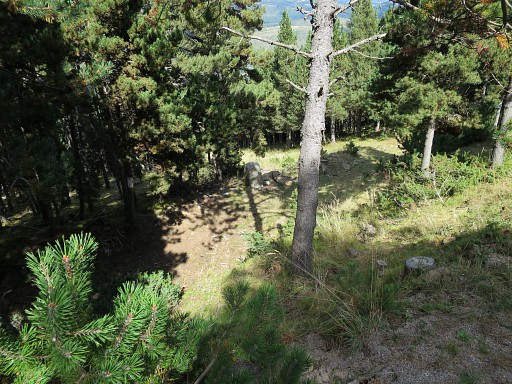
I'm leaving the forest and bm440 appears to the left. |
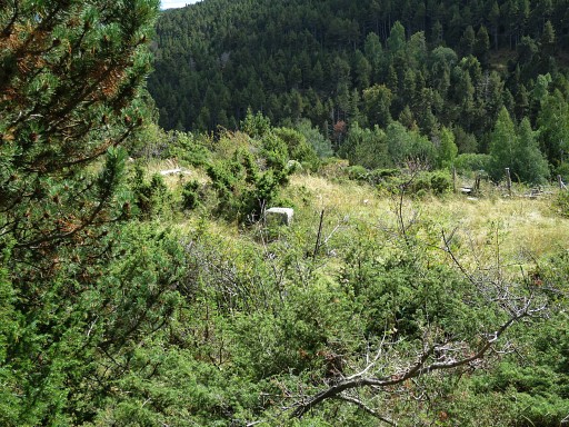 |
Bm440 |
 |
Bm440 |
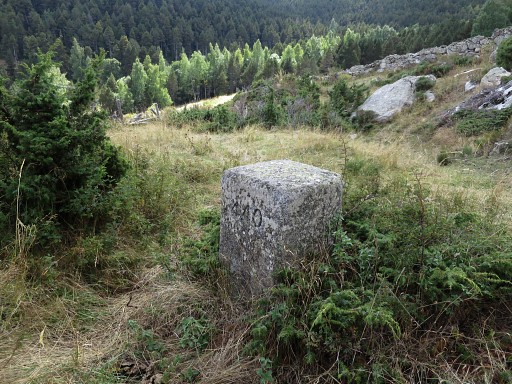 |
Bm440 |
 |
Then crossing a field - you can climb over the fence here - to get to |
 |
bm441 at the other side of a stream. |
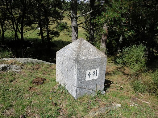 |
Bm441 |
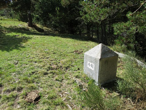 |
Bm441 Now picking up the forest road going SE and passing |
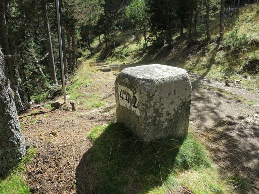 |
bm442 |
 |
Bm442 |
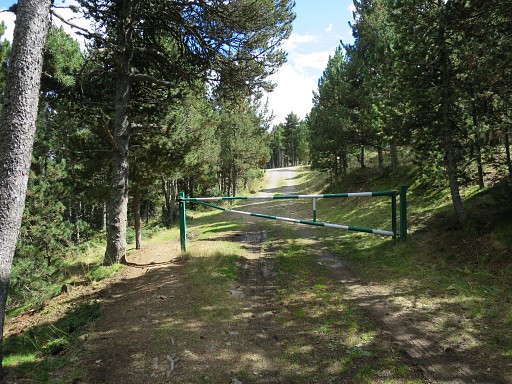 |
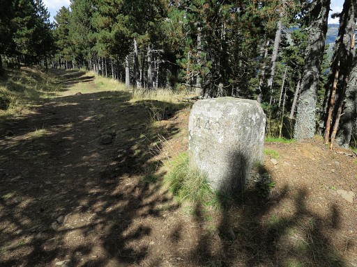
The forest road ends at a tarmac road. |
 |
Follow the tarmac road until - after 500m - an open strip appears at your left hand, descending steeply. That's where bm443 is. |
 |
Bm443 |
 |
Bm443 |
 |
Bm443 |
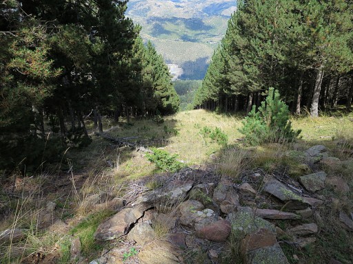 |
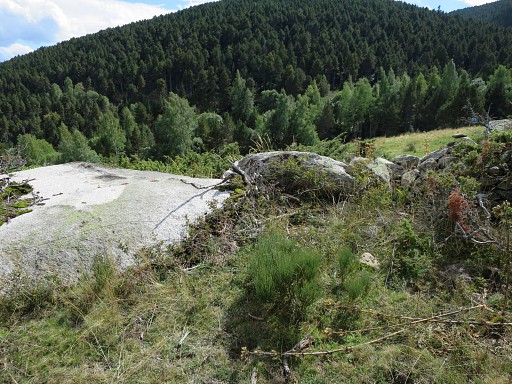
Now descending down the open strip which is the border. |
 |
Bm444 at the bottom of the strip. From bm434 it took me 3.30h to get to bm444. I cross the fence and follow it to the right until I arrive after 400m at a dirtroad. |
 |
Then - after 700m - a field appears at your left hand. That's the spot of bm445. I descend through the forest on a trail to |
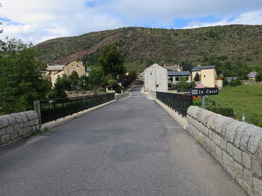 |
arrive at Latour-de-Carol |
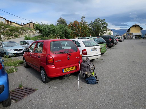 |
and its train station where my ever loyal car is waiting. |
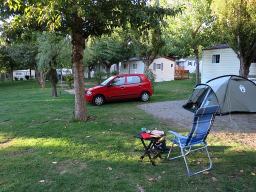 |
Then driving to my favourite camping Las Closas in Err. Tomorrow will be a resting day. |