|
The
bordermarkers of the Pyrenees : all my trips
 |
|
| -
thursday 8 september
2016 - Roc de France |
 |
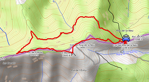 |
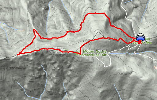
track-20160908.kml (click to open this trip in Google Earth or copy link to Google Maps; click right on this link to download gpx-version Summary: Part of a 9-days trip to the Pyrenees, covering various targets from east to west. Today: checking the routes around Roc de France and what is best for the GRPdesBF Weather: cloudy |
 |
For
explanation of
the gps-coordinates and other cartographic backgrounds: see the cartography-page The gps-track has not been manually corrected which explains the inaccuracy and misalignment at some points. Started at 15:15 , finish at 17:15, |
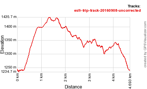 |
According
to Gps-Track-Analyse - distance : 4,8 km - cum. elevation gain : 410m - cum. elevation loss : 415m - total elevation: 826m - altitude maxi : 1436m - altitude mini : 1235m - altitude average : 1317m |
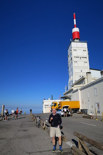 |
Yesterdag I drove from Holland to the foothills of the Mont Ventoux. I always wanted to visit its famous summit. I admire the bikers who arrive at the top after a long and tough climb. |
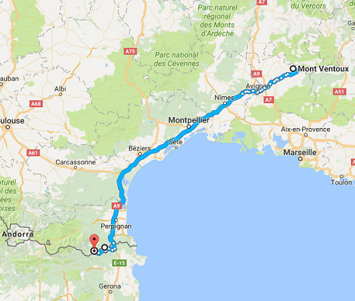 |
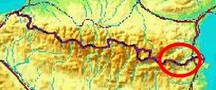
After Mont Ventoux a long drive to Coll del Pou de la Neu above Maçanet de Cabrenys. |
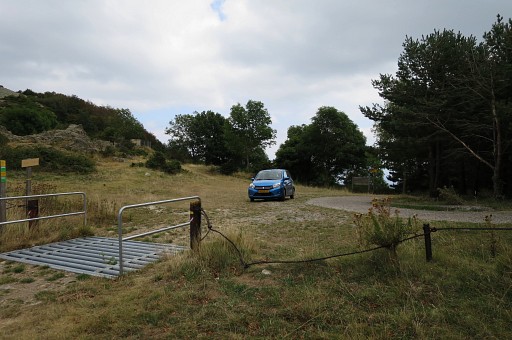 |
From Maçanet de Cabrenys it's a long dirtroad uphill, the last part being a narrow concrete road. This is the Coll del Pou de la Neu. |
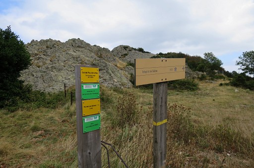 |
A signpost points to the trail which descends to Refuge de Salines, part of the GRPdesBF |
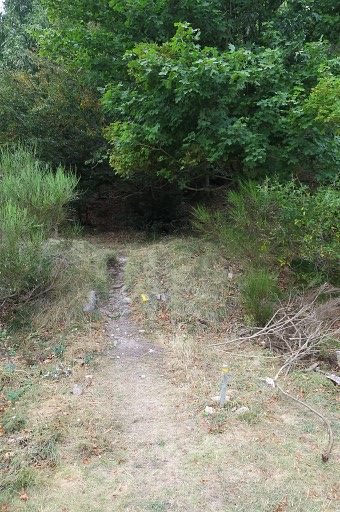 |
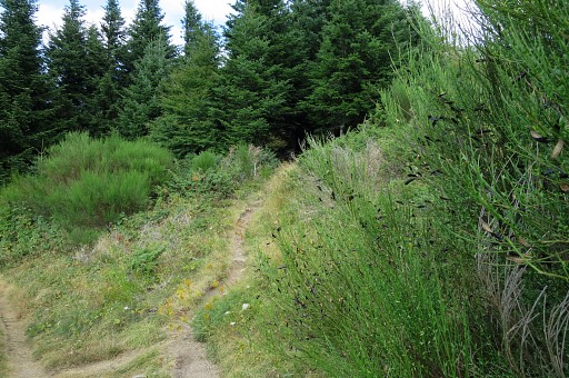
At the French side of the Coll, a yellow waymarked trail enters the forest |
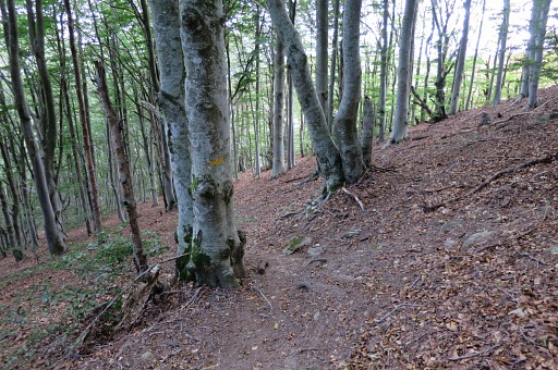 |
and climbs through this beach forest |
 |
uphill. The broadcast station comes in sight. |
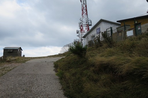 |
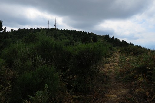
At this point turn right, the yellow trail is going behind the station. |
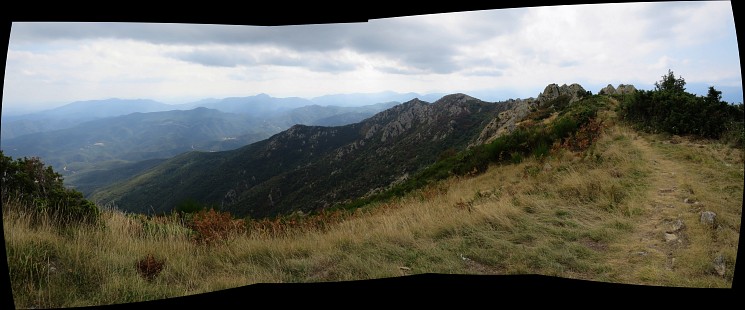 I have passed the station and look forward (w/sw) to the ridge ahead which is essentially the borderline, gradually descending towards Coustouges. |
|
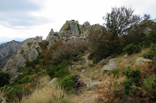 |
The yellow trail follows the rocky ridge |
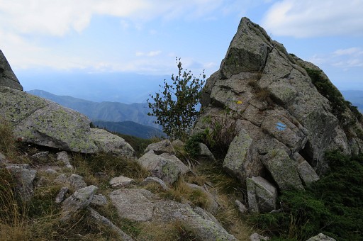 |
There are also blue waymarks |
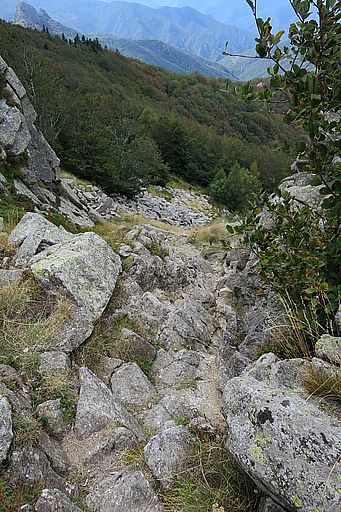 |
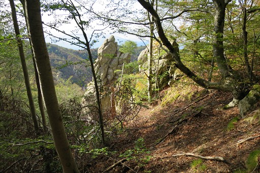
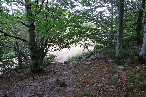
Then there's a steep and rocky descent. No problem if you take care. |
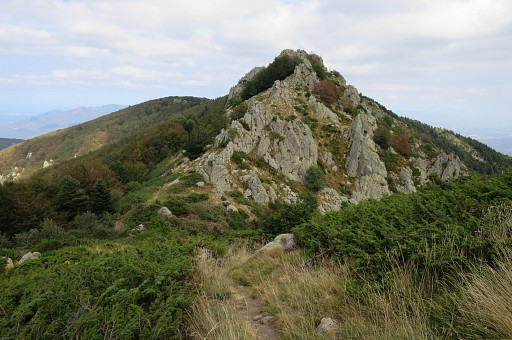 |
After the descent, looking back to the rock summit where I descended from. |
 |
I
have arrived at the GR10-trail and look back (east) to the rocky ridge
where I come from. It took me 1 hour from the Coll up to here. From this point - as said, looking back - there's a bifurcation ahead. The GR10 will go left underneath the ridge while the yellow trail leads you over the ridge. |
 |
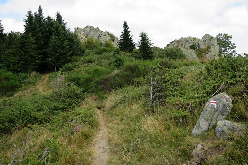
If we zoom-in, we can see where the yellow trail enters the forest |
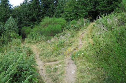 |
This is the bifurcation mentioned above: left is the GR10, right is the yellow trail |
 |
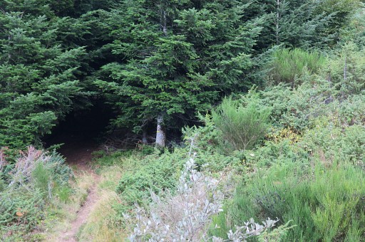
The right trail with |
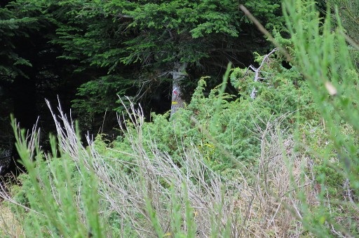 |
a zoom-in to the tree where we see a yellow waymark and a red/white cros. |
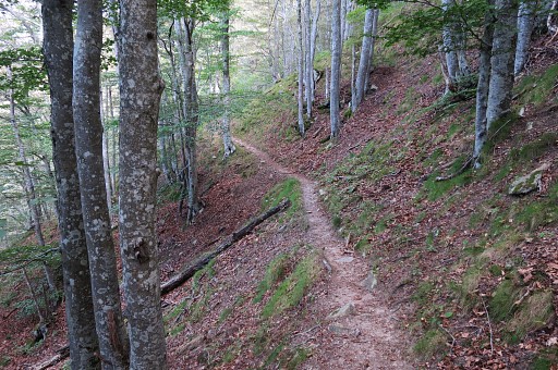 |
I return to the Coll on the GR10 which |
 |
is a nice and easy path. |
 |
And here I leave the forest |
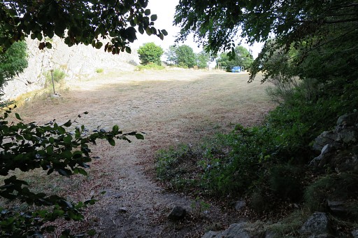 |
and I'm back at Coll del Pou de la Neu. The GR10 took me 45 minutes to return so 15 minutes less then the yellow trail over the ridge. Conclusion: for the GRPdesBF it's easier and faster to use the GR10 |
 |
Finally I drive to camping la Rive Verte in St-Laurent-de-Cerdans. |