|
The
bordermarkers of the Pyrenees : all my trips
 |
|
| - sunday 3 june
2018 - Bm163-174 revisited |
 |
 |
Summary:
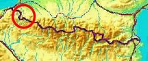
part of 6 day-trips in
the Pyrenees, near Bagnères-de-Luchon and in the Basque country, together with Jan-Willem Doomen Today: a short roundtrip, part of the project to visit every bordermarker at least twice. Basecamp: the camping municipal in Saint-Étiènne-de-Baïgorry. Weather: sunny / cloudy |
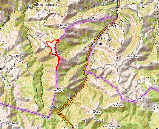
 track-20180603.kml
(click to open this trip in Google Earth or copy link to Google Maps; click right on this link to download gpx-version). The gps-track has not been manually corrected which explains the inaccuracy and misalignment at some points. For cartographic backgrounds: see the cartography-page Gps-waypoints of all bordermarkers (most recent version): kml: esfr-bordermarkers-all-waypoints.kml gpx: esfr-bordermarkers-all-waypoints.gpx |
|
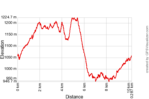 |
According to Google Earth: 9,8km, max-height 1210m, min-height 954m, elevation: +572m -571m Start 11:03 Finish 14:27 |
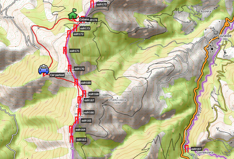
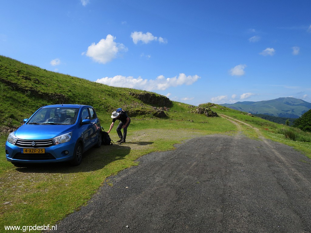 | We manage to drive on winding and narrow roads up to close to the borderridge. This is our starting point. We search for some water source at the farmbuilding downhill but to no result. (click photo to enlarge) |
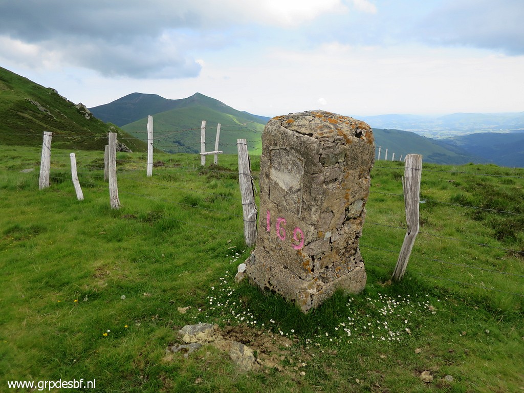
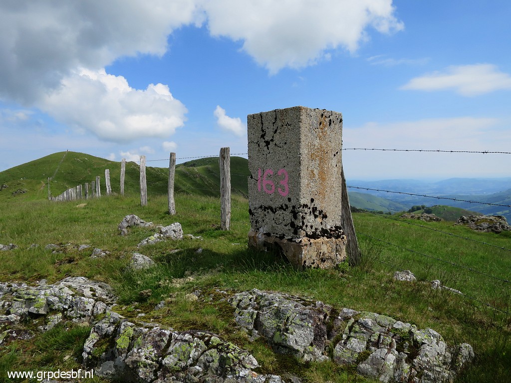 | Easy walk to the col at bm169. Jan-Willem takes a rest while I continue south to bm163. Yesterday we came as far as bm162, now I catch up at bm163 and proceed along the ridge to the north. This picture: bm163, looking north (click photo to enlarge) |
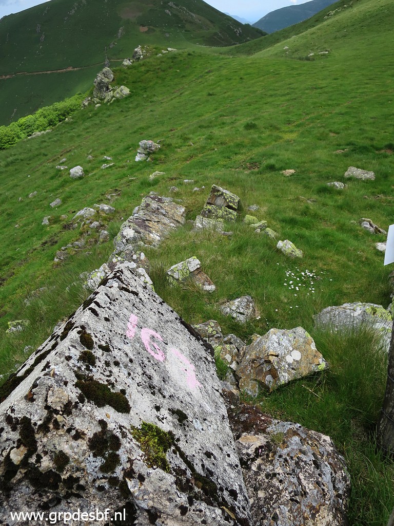
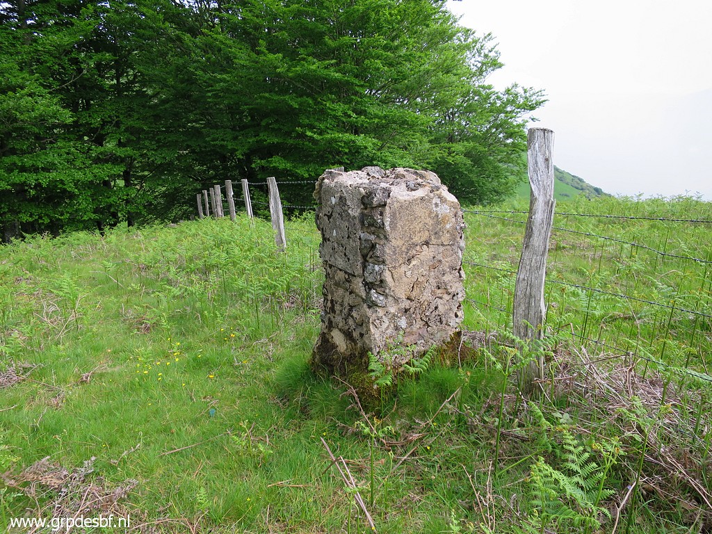
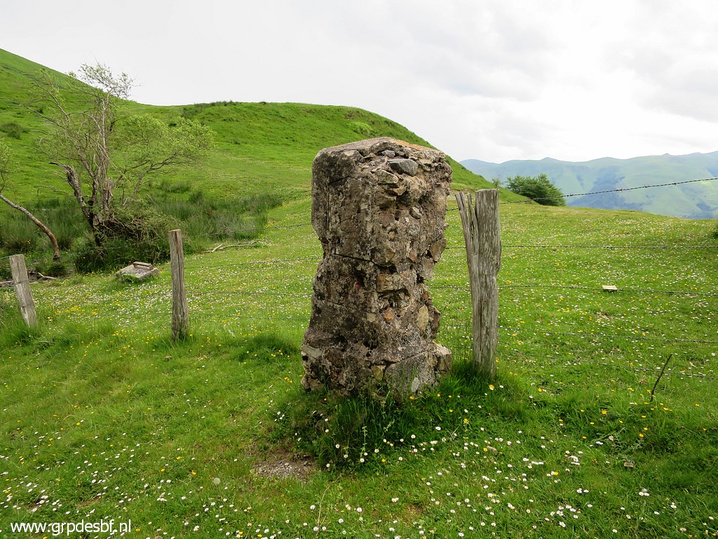
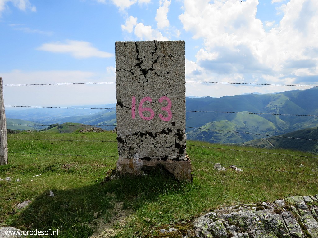 | Bm163 We find on this long borderridge different types of markers. This one seems a concrete successor of the original ones. There's no number engraving, sometimes we see the number painted like on this one. (click photo to enlarge) |
 | Bm163 (click photo to enlarge) |
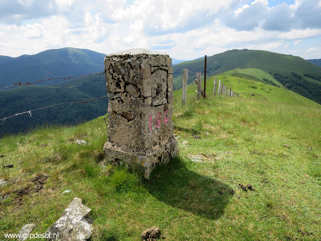
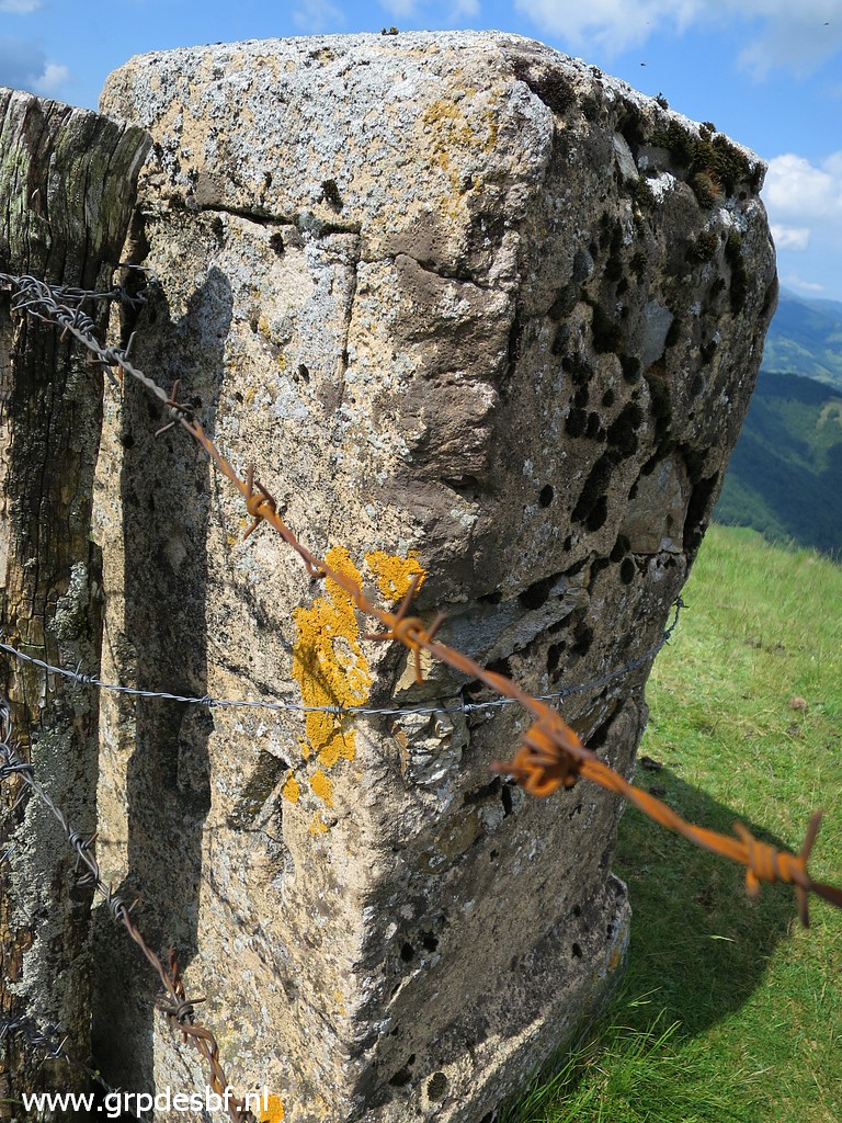
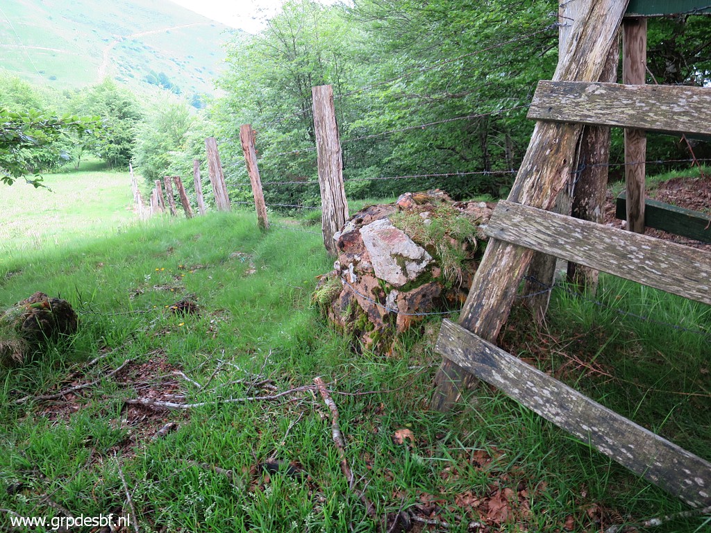
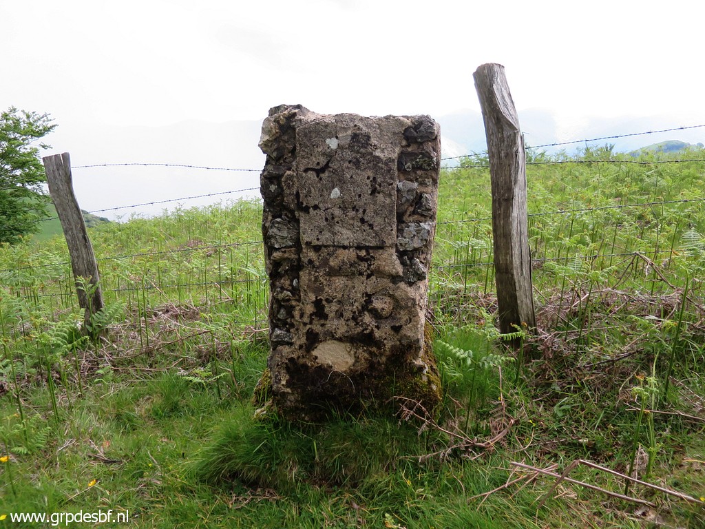
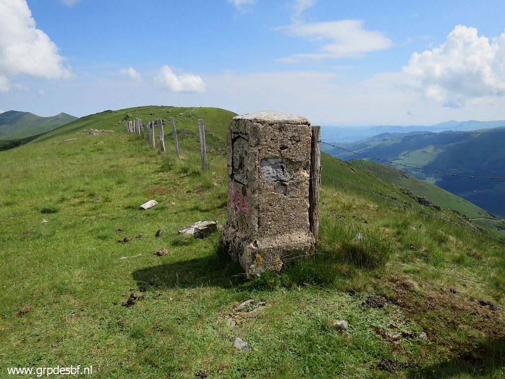 | Bm164, looking north This seems an original one: brickmason on the inside, concrete plaster at the outside. (click photo to enlarge) |
 | with an outline of which may have contained a plaque with a coat of arms (click photo to enlarge) |
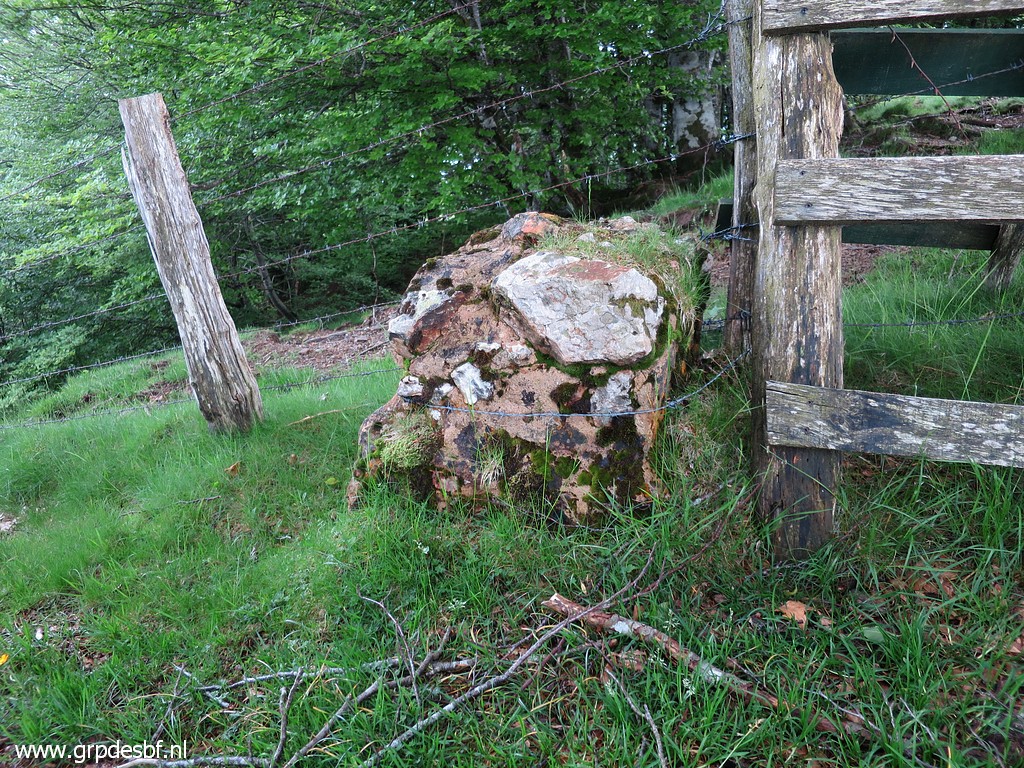
 | Bm164 (click photo to enlarge) |
 | Bm164, backside with same outline. (click photo to enlarge) |
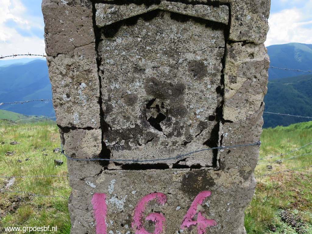 | Bm164, zoom-in of the outline (click photo to enlarge) |
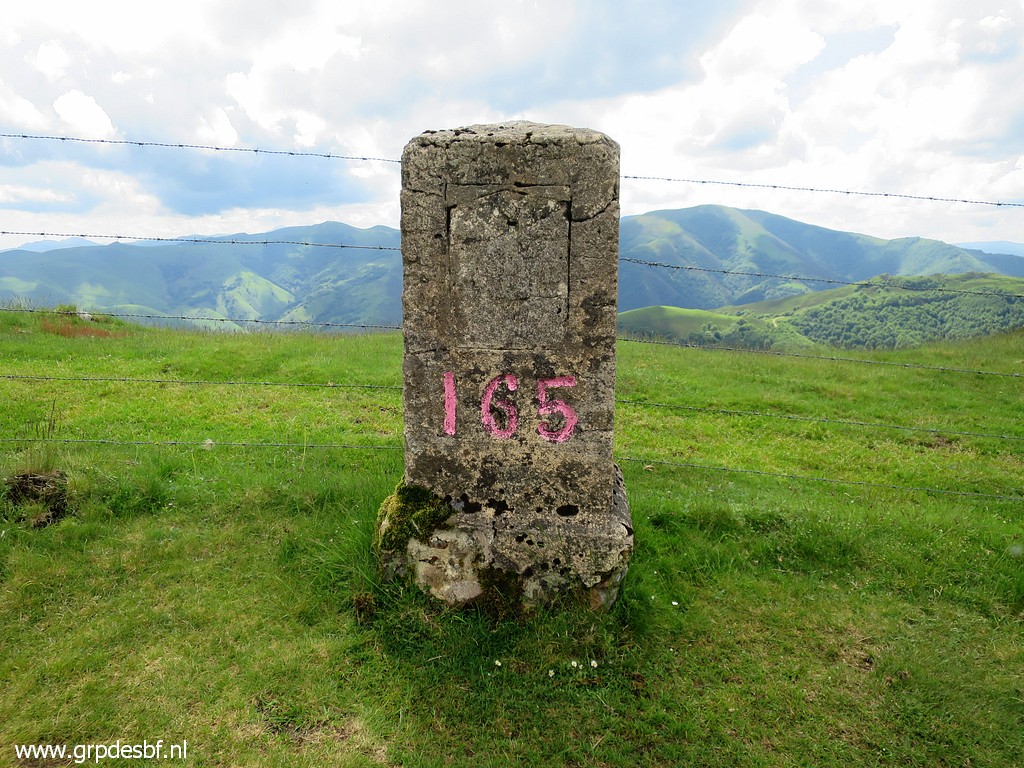
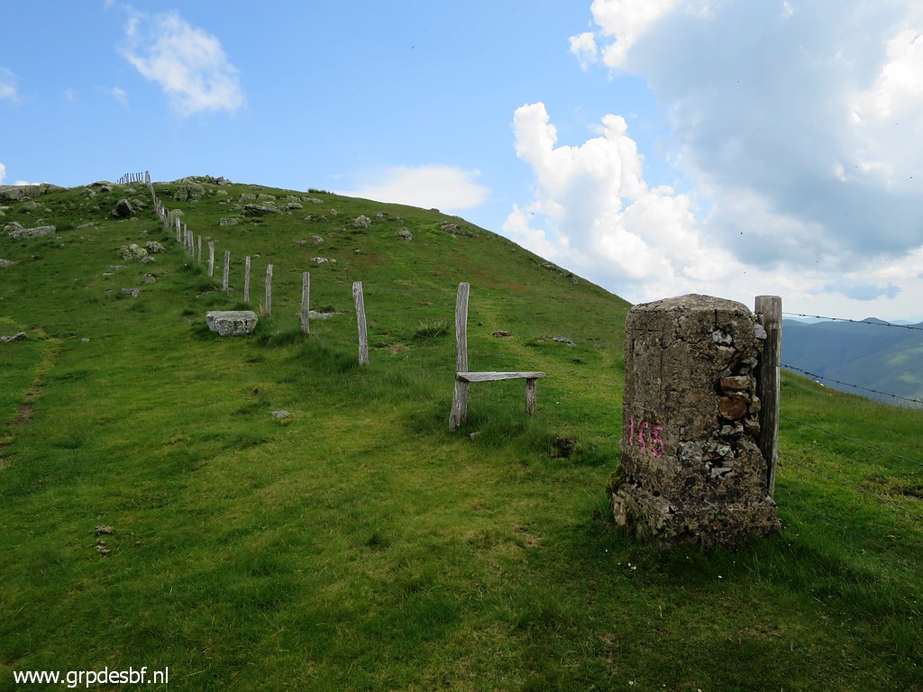 | Bm165, looking north (click photo to enlarge) |
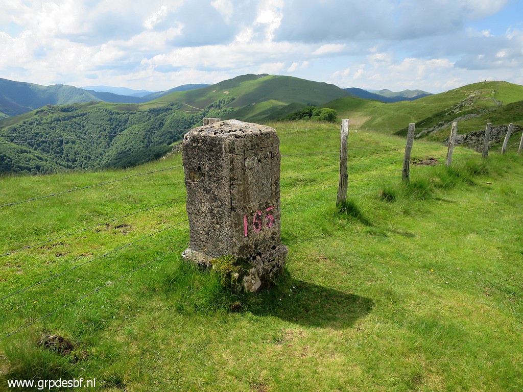
 | Bm165 (click photo to enlarge) |
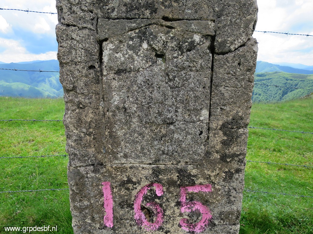
 | Bm165 (click photo to enlarge) |
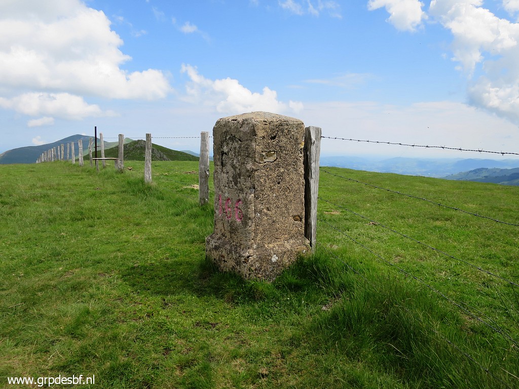
 | Bm165 (click photo to enlarge) |
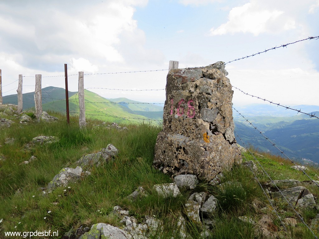
 | Bm166, looking north (click photo to enlarge) |
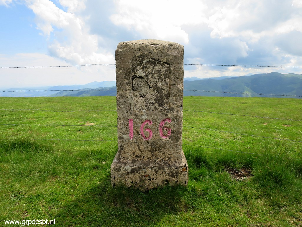 | Bm166 (click photo to enlarge) |
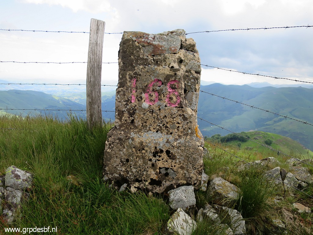
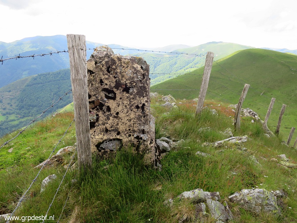
 | Bm166 (click photo to enlarge) |
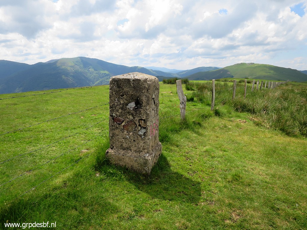
 | Bm167, looking north (click photo to enlarge) |
 | Bm167, a massive concrete one (click photo to enlarge) |
 | Bm167 (click photo to enlarge) |
 | Bm167 (click photo to enlarge) |
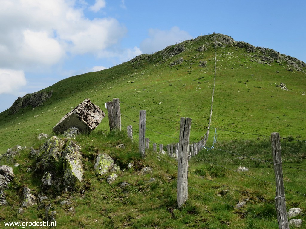
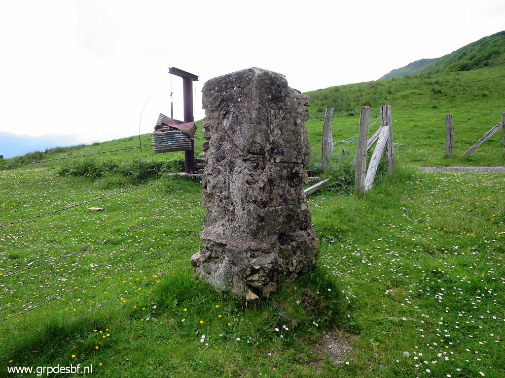
 | Bm168 at the next hilltop, looking north (click photo to enlarge) |
 | Bm168 (click photo to enlarge) |
 | Bm168 (click photo to enlarge) |
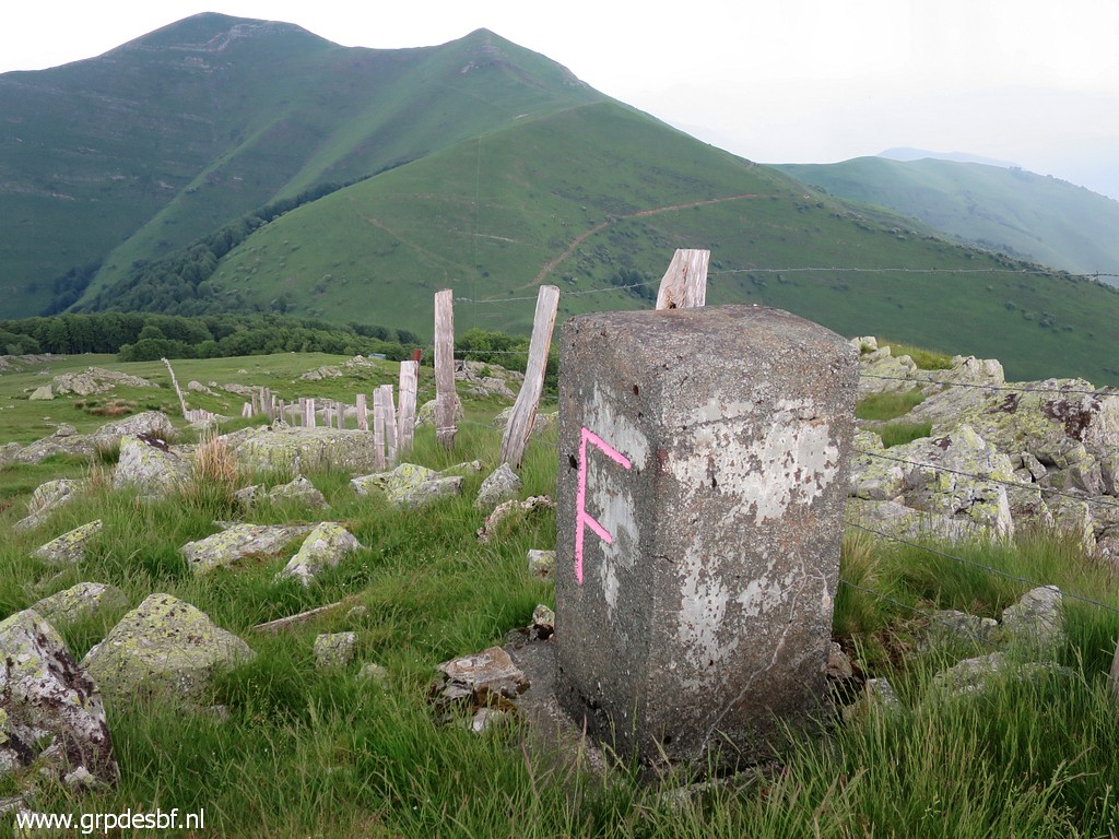
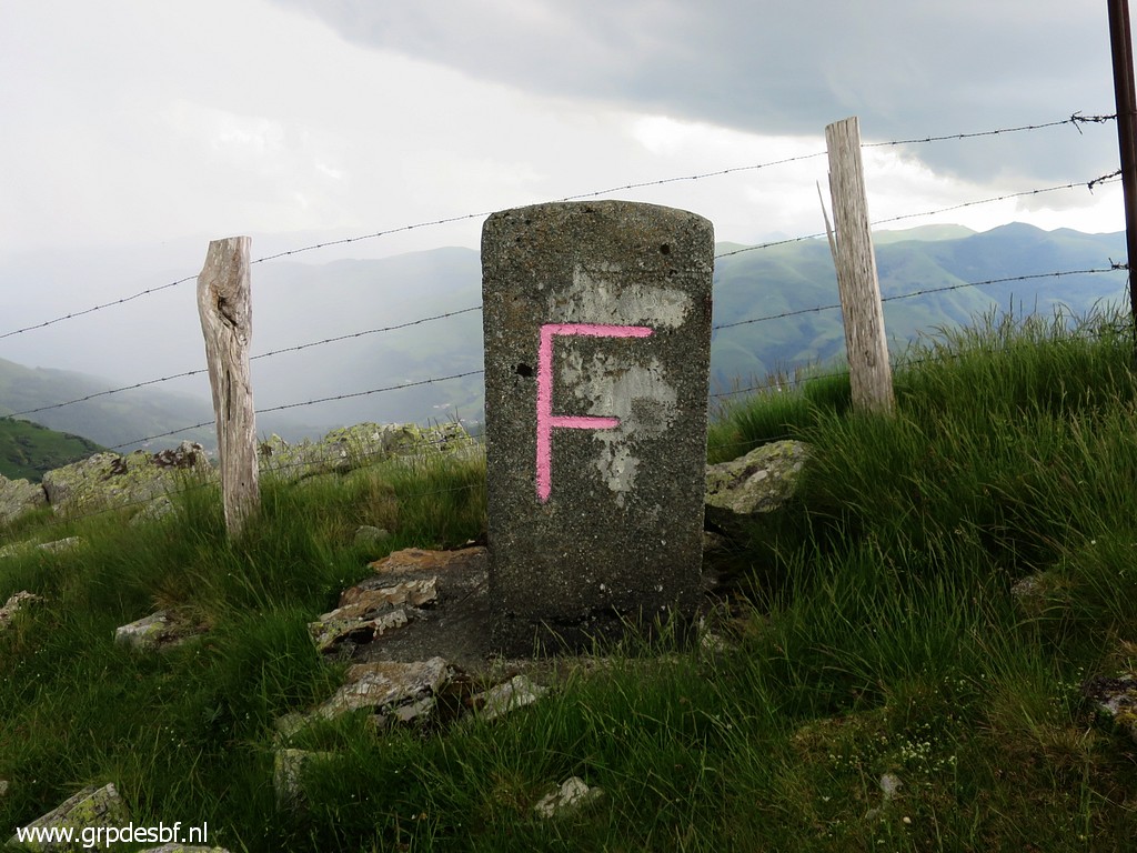
 | A geodesic pillar at the same hilltop, looking north (click photo to enlarge) |
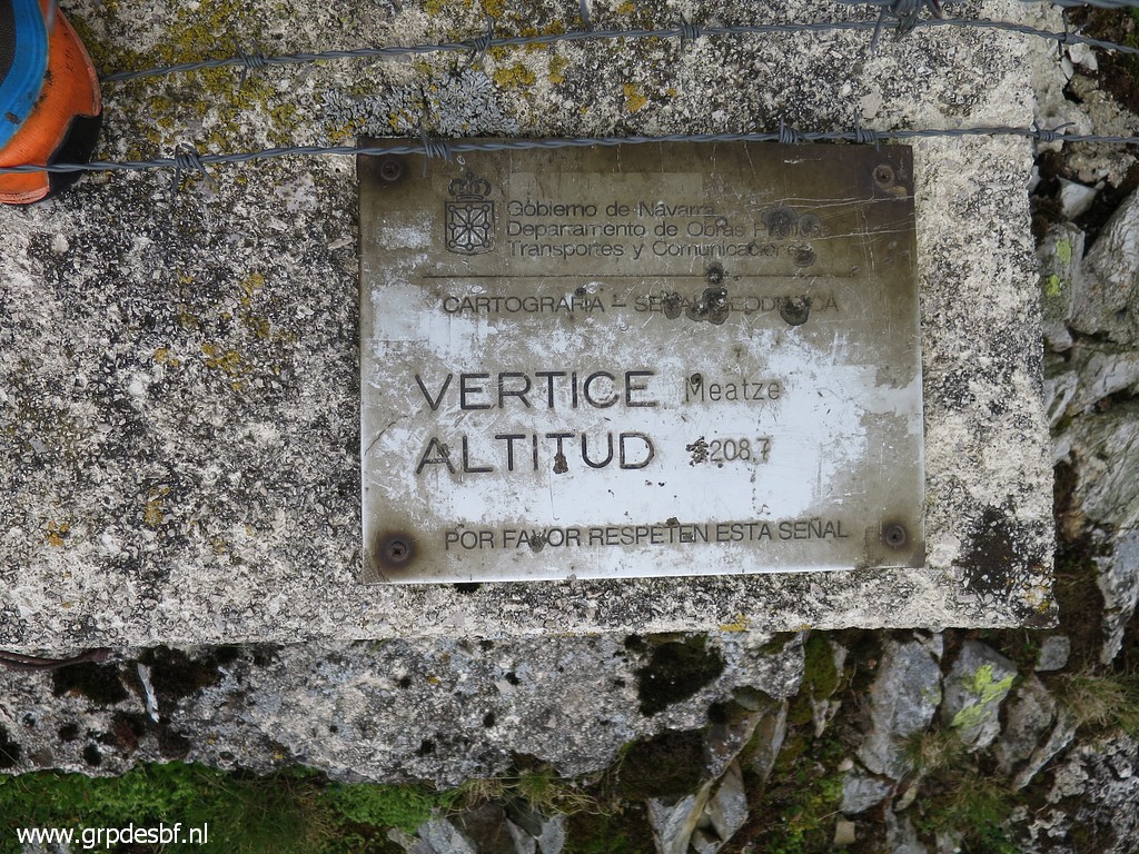 | I's the hilltop of Meatze, 1208,7m high (click photo to enlarge) |
 | Bm169, looking north, where Jan-Willem is waiting, enjoying the stillness and beauty of the landscape. (click photo to enlarge) |
 | Bm169 (click photo to enlarge) |
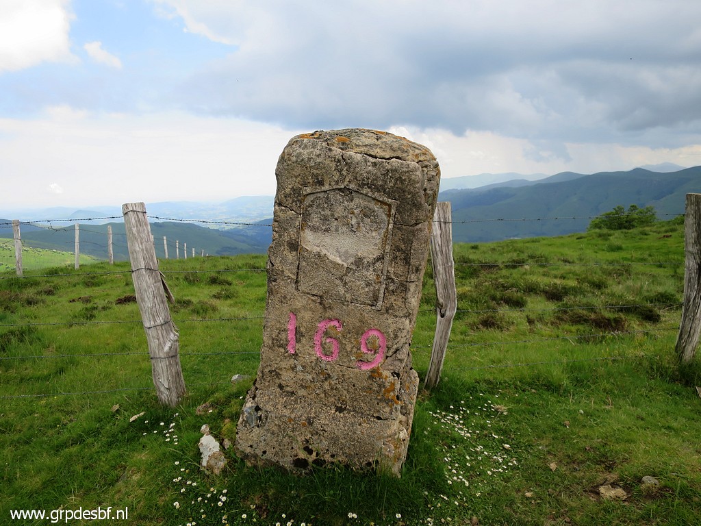 | Bm169 (click photo to enlarge) |
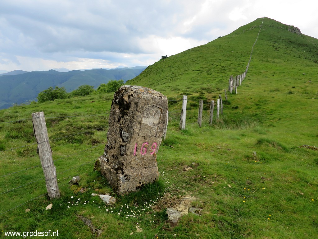 | Bm169 (click photo to enlarge) |
 | Bm169 (click photo to enlarge) |
 | Bm170, looking north (click photo to enlarge) |
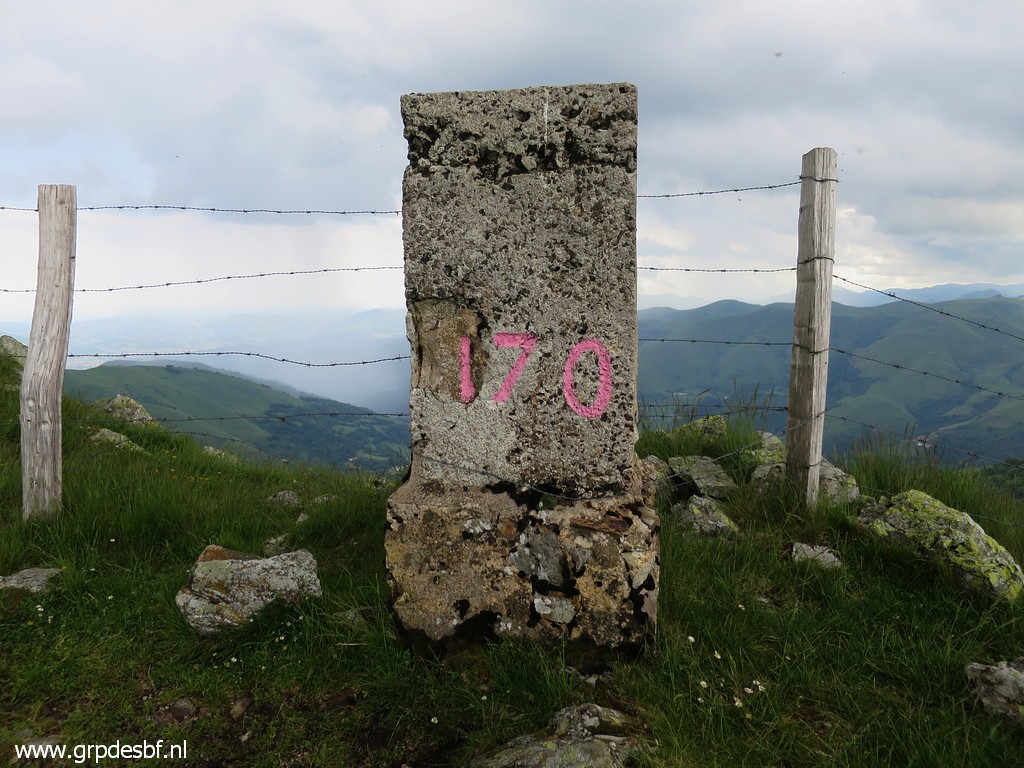 | Bm170 (click photo to enlarge) |
 | Bm170 (click photo to enlarge) |
 | Bm171, looking north This is the third type of marker on this ridge: solid grey concrete with very large letters. (click photo to enlarge) |
 | Bm171 (click photo to enlarge) |
 | Bm171 (click photo to enlarge) |
 | Bm171, backside (click photo to enlarge) |
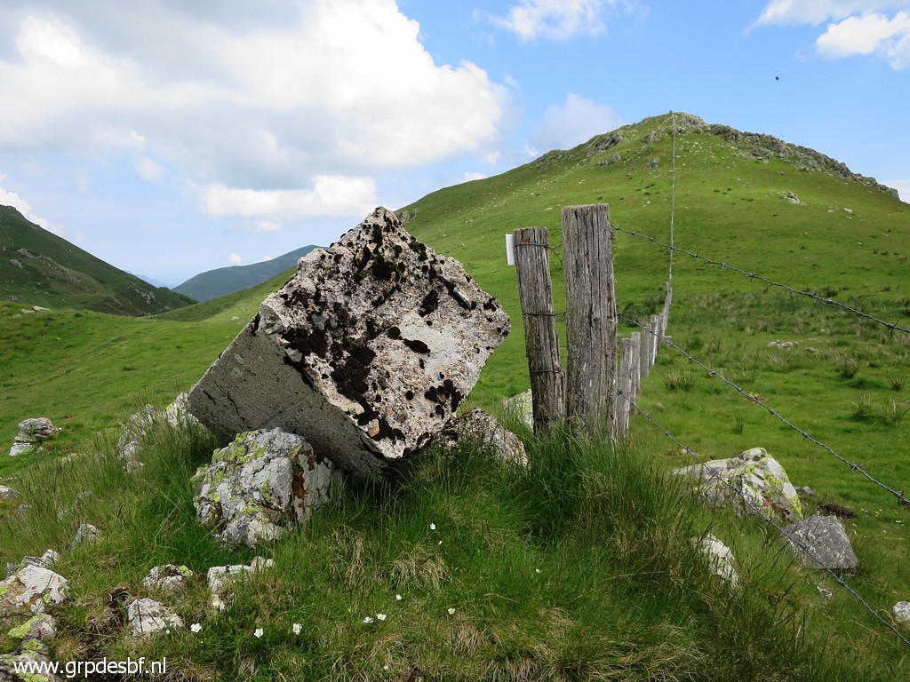
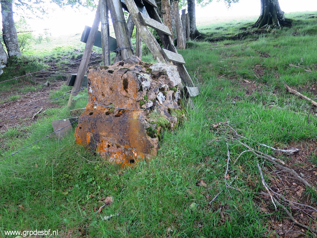
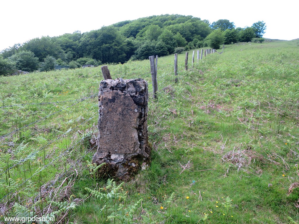
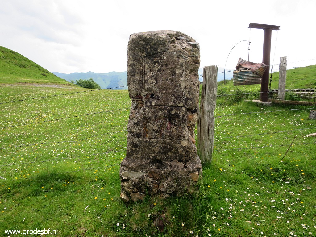
 | Bm172, looking north An original marker but not much left. No visual number anymore. (click photo to enlarge) |
 | Bm172 (click photo to enlarge) |
 | Bm172 (click photo to enlarge) |
 | Bm173, looking north (click photo to enlarge) |
 | Bm173 (click photo to enlarge) |
 | Bm173 (click photo to enlarge) |
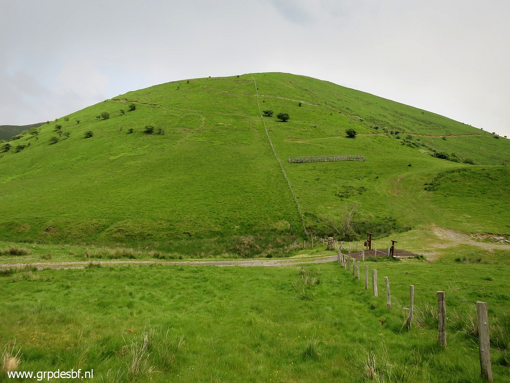
 | After a short passage through a forest a view ahead to Col d'Ehunzaroy with bm174 (click photo to enlarge) |
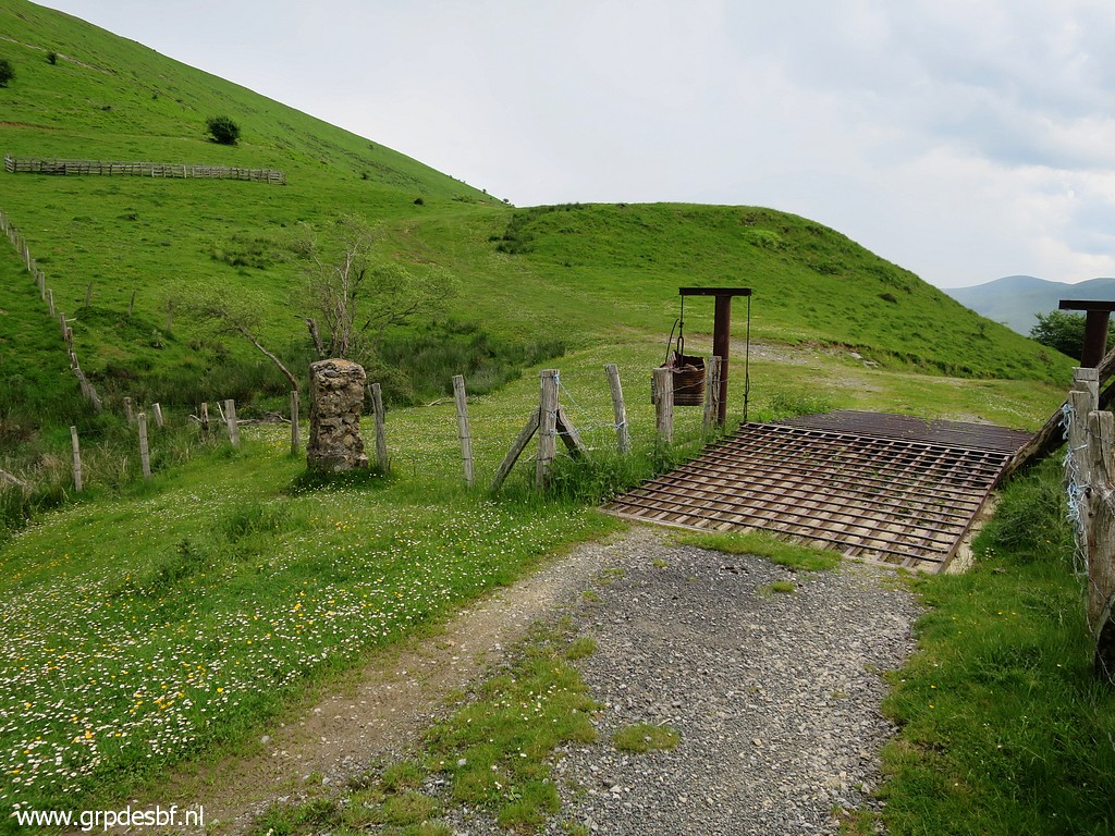
 | Getting closer to Col d'Ehunzaroy (click photo to enlarge) |
 | Bm174 with a peculiar metal bordercross. There are more like this further on. (click photo to enlarge) |
 | Bm174 (click photo to enlarge) |
 | Bm174 (click photo to enlarge) |
 | Bm174 Enough for today. We decide to return to the car. (click photo to enlarge) |
 | But first a coffee-break at this building nearby. It's closed and might be in use by hunters. (click photo to enlarge) |
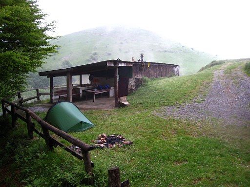 |
Nine years ago (20090526), there was this wooden shelter with bunkbeds. |
 | What remains is a watertap at either side of the cabin and a nice flat spot to pitch your tent. From bm155 to approximately bm179, this is the only watersource at the GRPdesBF-route. (click photo to enlarge) |
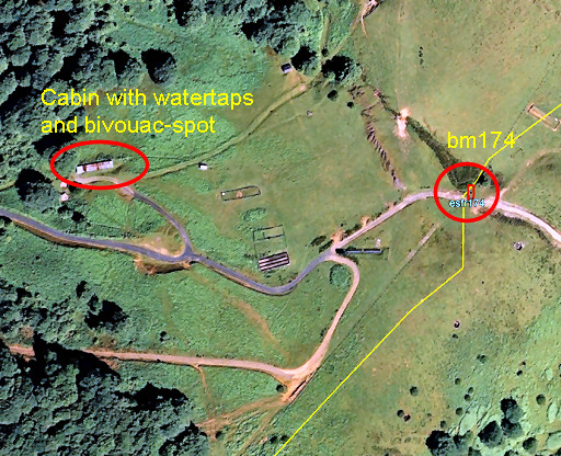 |
Let's show the position of the cabin on a map. |
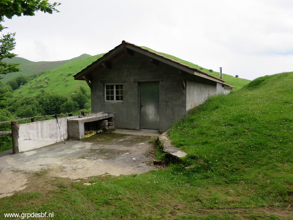
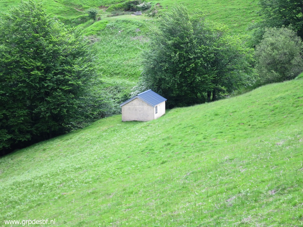
 | There's another cabin nearby (click photo to enlarge) |
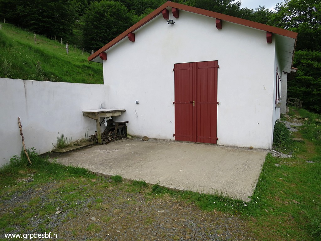
 | and I have a look there but it's also closed. (click photo to enlarge) |
 | At the other side of the first cabin is another watertap. We return on easy tarmac to our car. Last day of our Pyrenees-trip. The weatherforecast predicts thunderstorms in the afternoon in the days to come. That's too dangerous on these hillridge. (click photo to enlarge) |
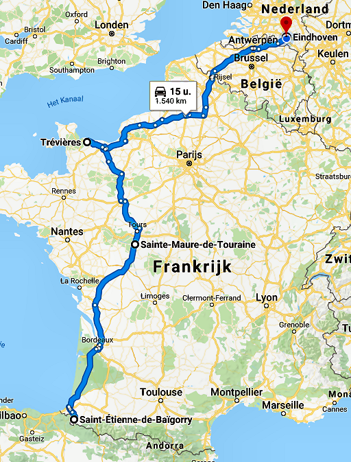 |
In two days we drive to Normandy with an overstop on the nice camping municipal de Marans in
Sainte-Maure- de-Touraine. That's the only dry night so far.. But in Normandy the weather is even more disappointing. We visit the American cemetary in drenching rain and we just ..... return home the next day. |