|
The
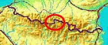
bordermarkers of the Pyrenees : all my trips
 |
|
| -
sunday 19 august
2018 - Redoing bm332-356 + some 'bornes de paçage' |
 |
 |
Summary:
one of 8 solo daytrips in
the Pyrenees, in the area of Haute-Garonne near Bagnères-de-Luchon, in
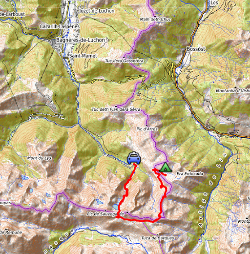
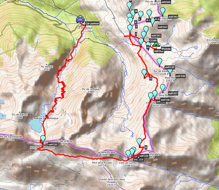
order to redo the bordermarker-range no. 331 to 417. Today: first day of a 4-days trekking, covering bm331-358 Weather: splendid |
 track-20180819.kml
(click to open this trip in Google Earth or copy link to Google Maps; click right on this link to download gpx-version). The gps-track has not been manually corrected which explains the inaccuracy and misalignment at some points. For cartographic backgrounds: see the cartography-page Gps-waypoints of all bordermarkers (most recent version): kml: esfr-bordermarkers-all-waypoints.kml gpx: esfr-bordermarkers-all-waypoints.gpx |
|
 |
According to Garmin
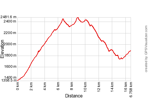
Basecamp: Distance: 16,8 km Max-height: 2482m Min-height: 1358m Elevation: +1881m -1361m Total elevation: 3242m Start 8:41 Finish 17:46 Total time: 9.05 |
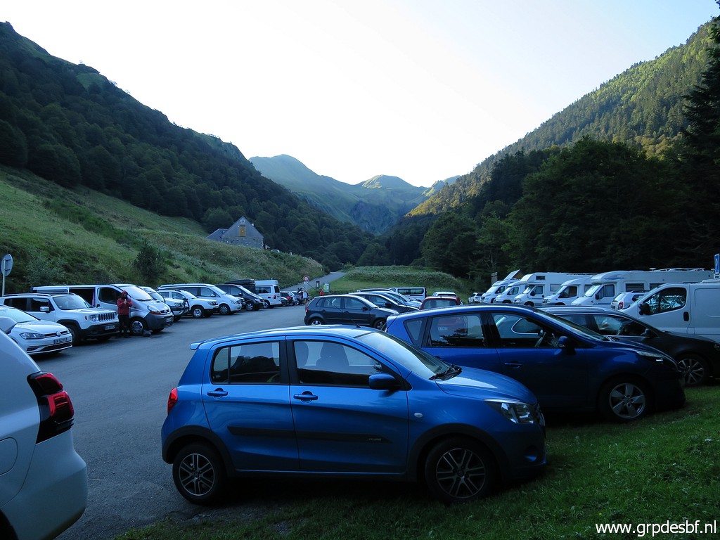 |
It has been a long drive from Eindhoven - through the night with short breaks to sleep some hours - to Hospice de France. My blue and faithful car heralds the fresh morning. click photo to enlarge |
 |
The crossing of Port de Venasque is a classic route click photo to enlarge |
 |
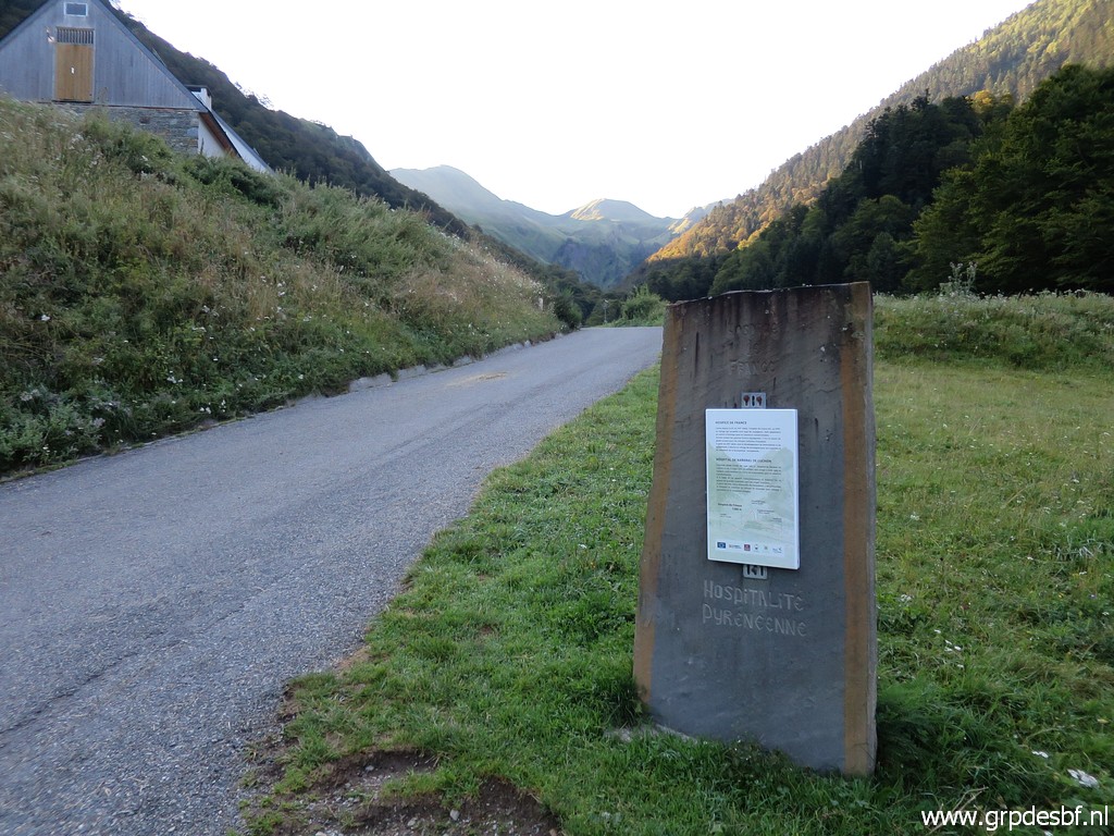
with Hospice de France a classic refuge at the foot of the ascent. click photo to enlarge |
 |
Towards the ascent of Port de Venasque click photo to enlarge |
 |
which starts gently by the many lacelets in the first half. Despite the long cardrive and the few hours of sleep, walking & climbing goes well. click photo to enlarge |
 |
Further on, looking back click photo to enlarge |
 |
to (zoom-in) Col de Barèges with bm356, to be reached in two days. click photo to enlarge |
 |
In between to Port de Venasque this little plateau. click photo to enlarge |
 |
Having reached the refuge click photo to enlarge |
 |
and continuing to the Port. click photo to enlarge |
 |
Looking back and click photo to enlarge |
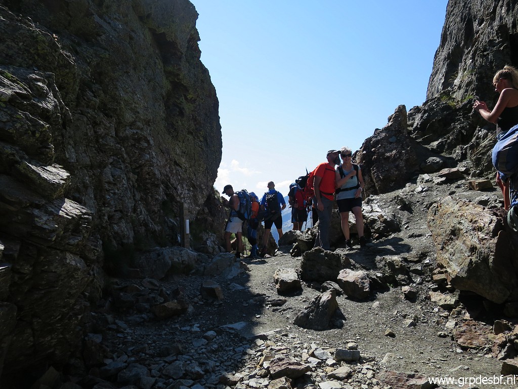 |
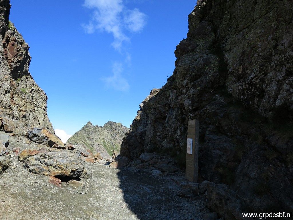
finally reached the Port, filled with walkers. click photo to enlarge |
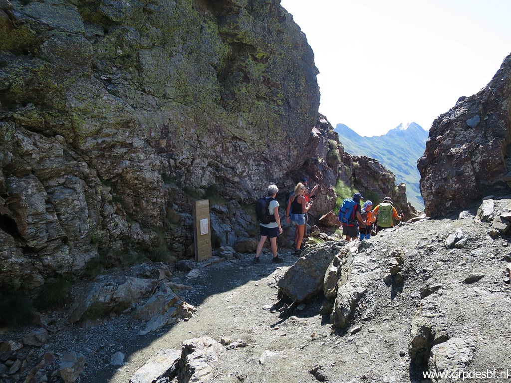 |
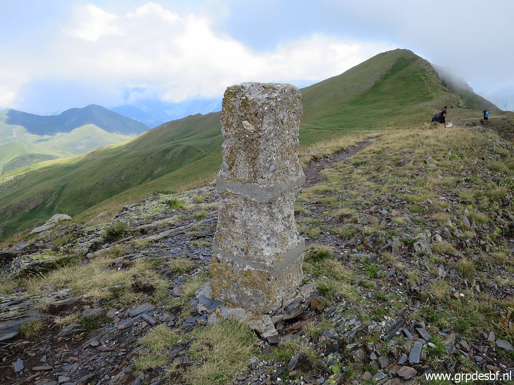
Bm332 is above the signpost click photo to enlarge |
 |
and engraved in the rockface. click photo to enlarge |
 |
Bm332 click photo to enlarge |
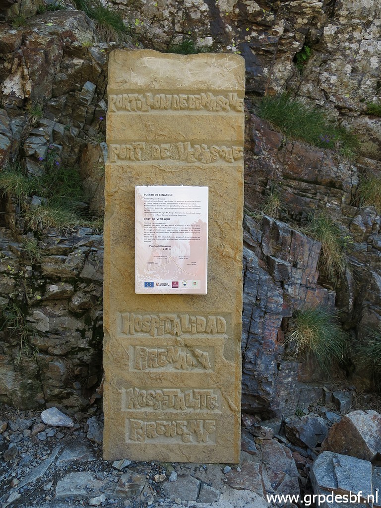 |
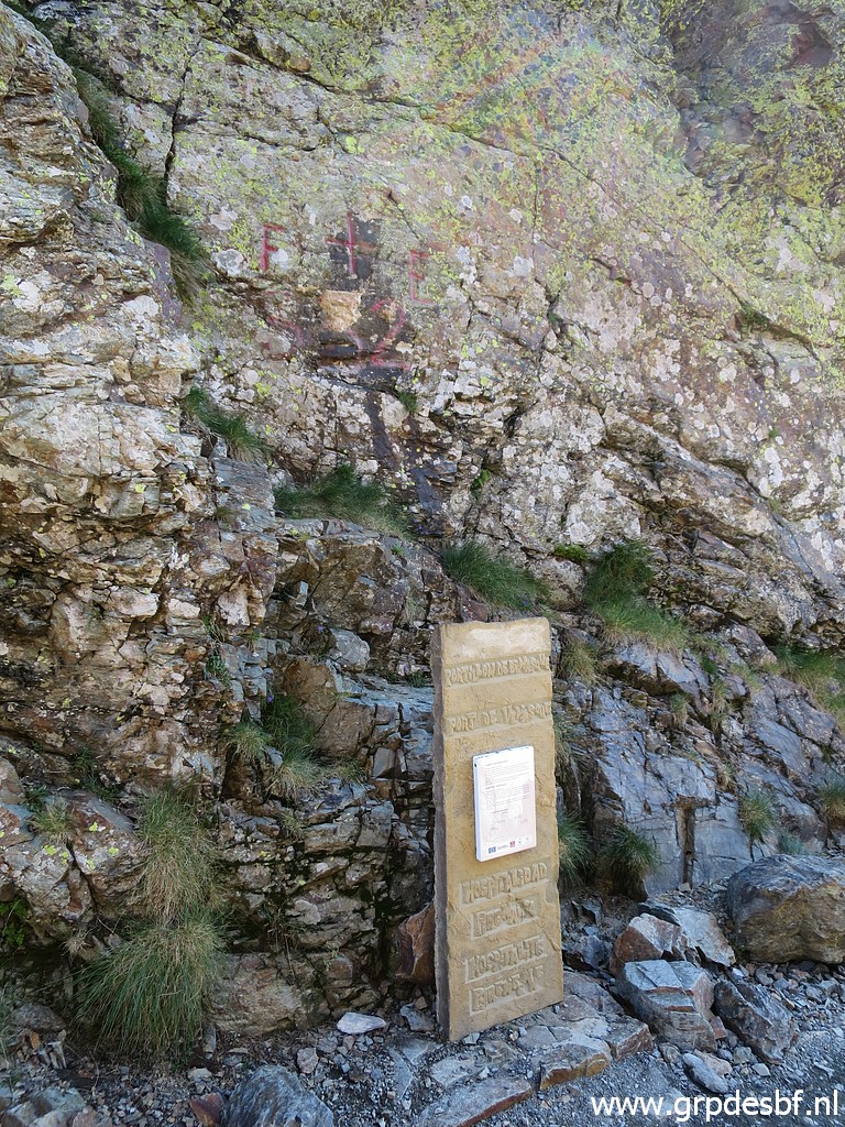
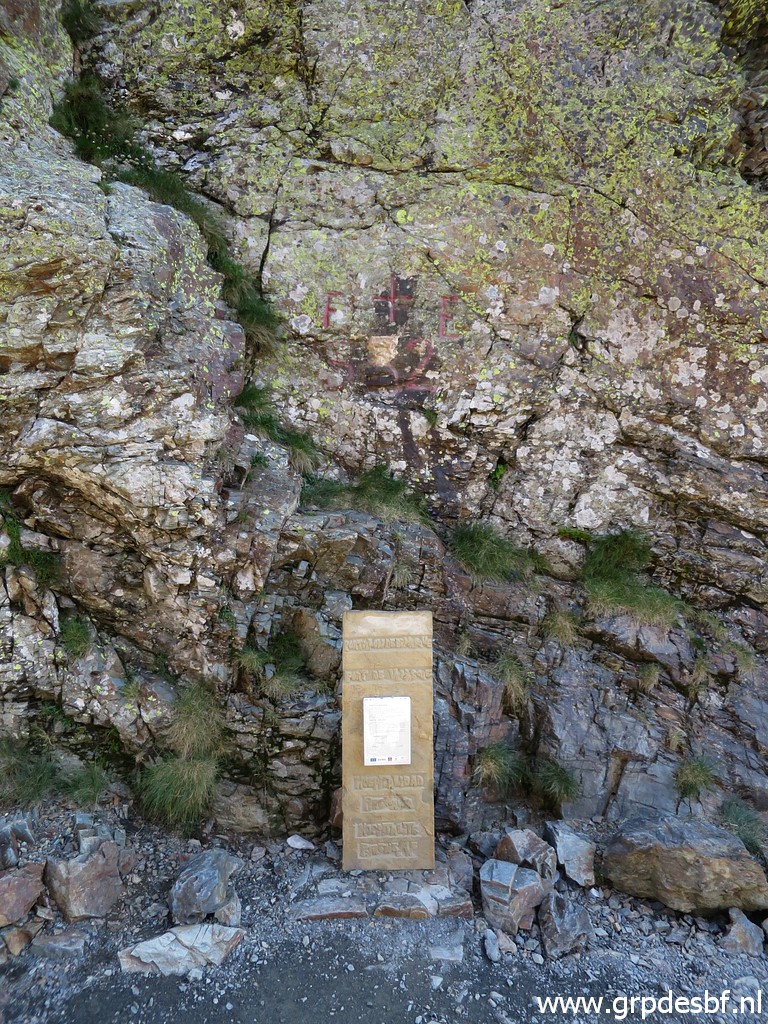
The memorial signpost in detail click photo to enlarge |
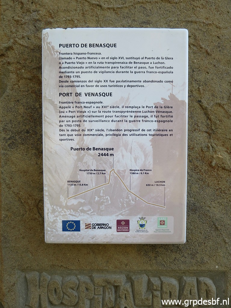 |
with some information about this famous borderpass. click photo to enlarge |
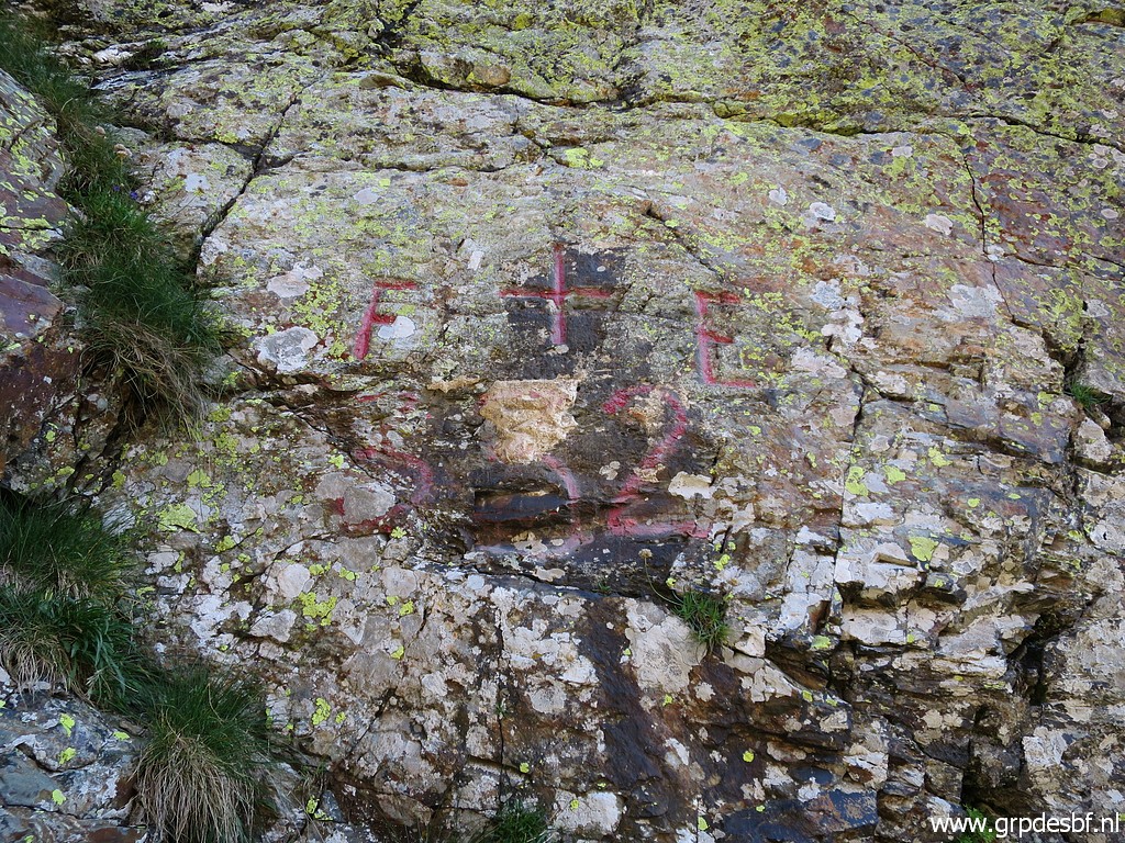 |
The engraved cross in detail click photo to enlarge |
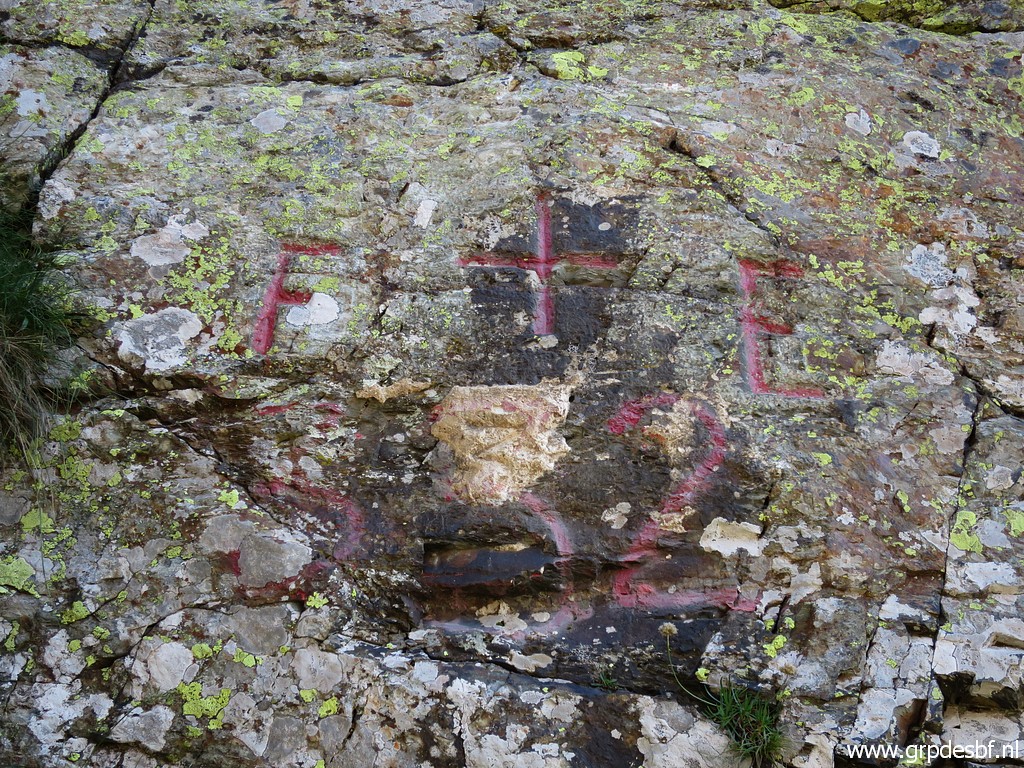 |
Bm532 click photo to enlarge |
 |
Port de Venasque, looking south to the Maladeta-massive click photo to enlarge |
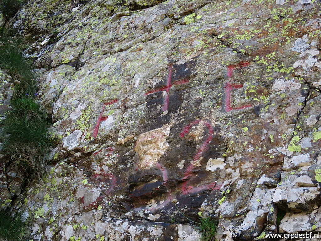 |
Another close-up of bm332. click photo to enlarge |
 |
Last picture of Port de Venasque click photo to enlarge |
 |
Looking the way to go and click photo to enlarge |
 |
that is to the left, first to the Port dera Picada click photo to enlarge |
 |
with along the trail here and there some faint water sources. click photo to enlarge |
 |
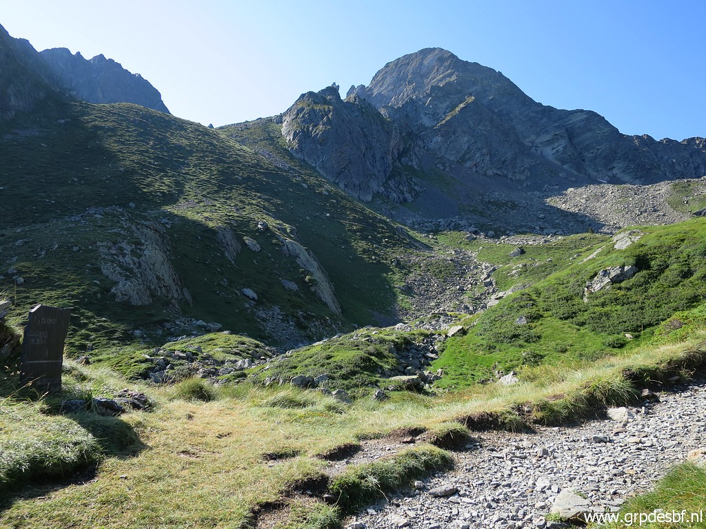
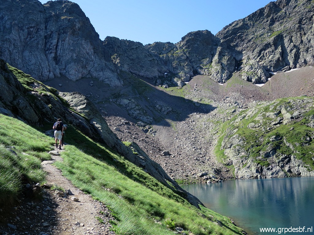
Having reached the Port dera Picada, looking forward towards the Pas dera Escaleta or Pas de l'Escalette. click photo to enlarge |
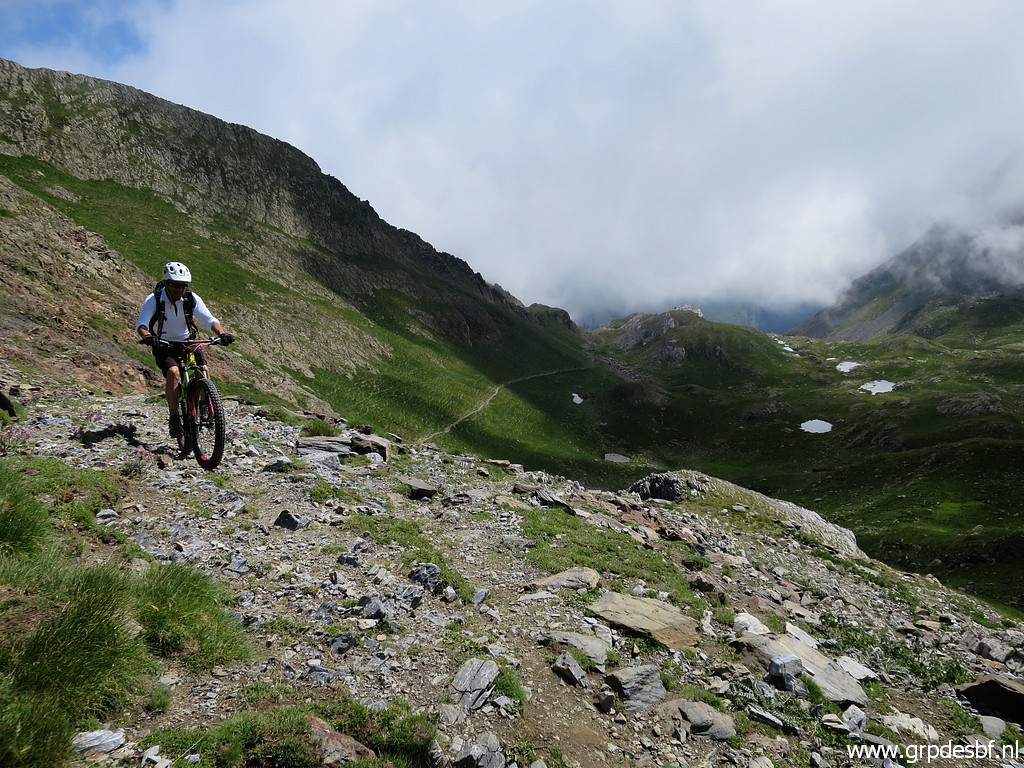 |
A brave mountainbiker surprises me. click photo to enlarge |
 |
Continuing click photo to enlarge |
 |
with a view of possible bivouac-spots in case you need them. click photo to enlarge |
 |
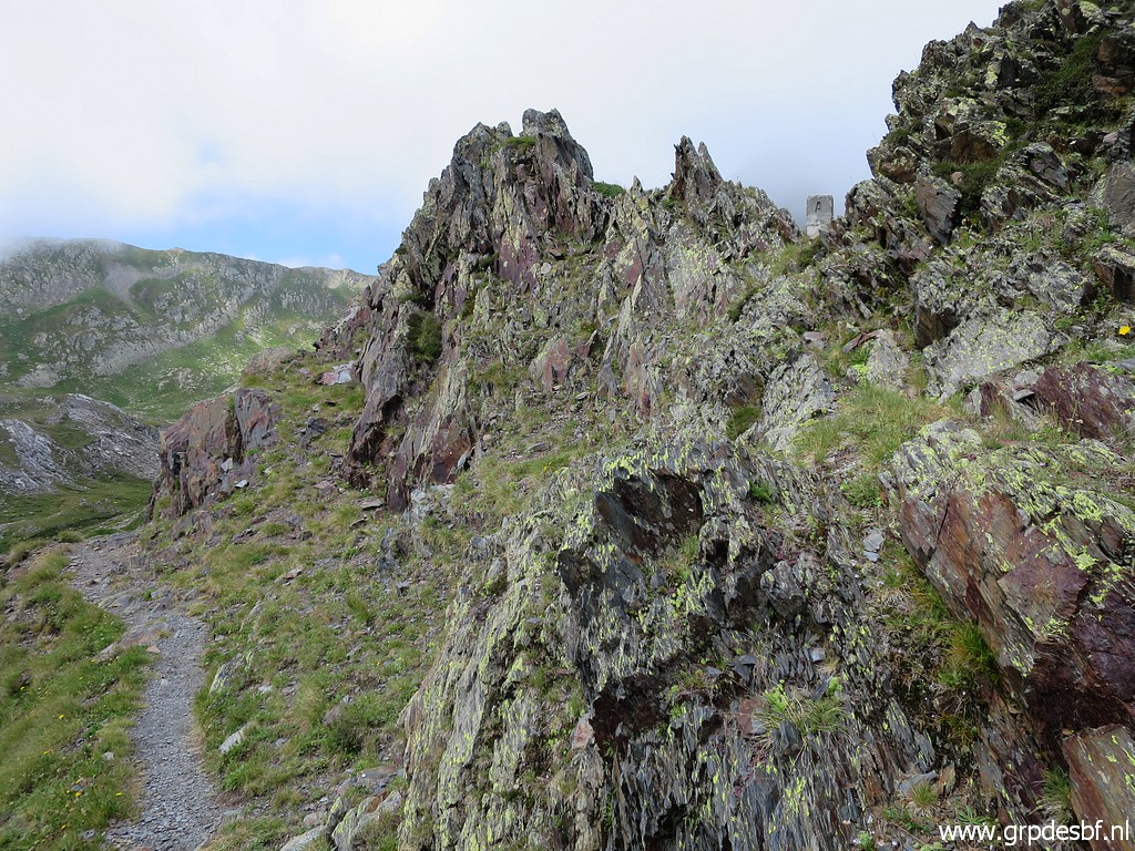
Having arrived at the Pas dera Escaleta click photo to enlarge |
 |
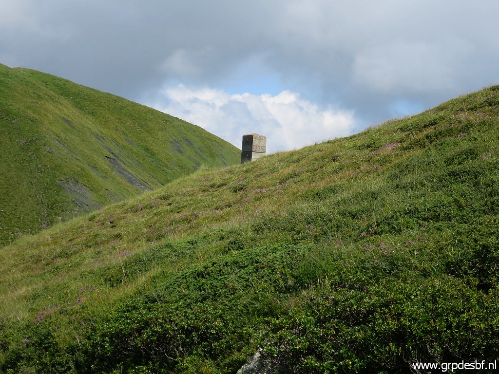
with a zoom-in to bm334 ahead. click photo to enlarge |
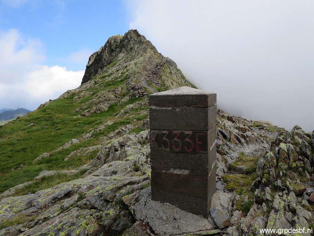 |
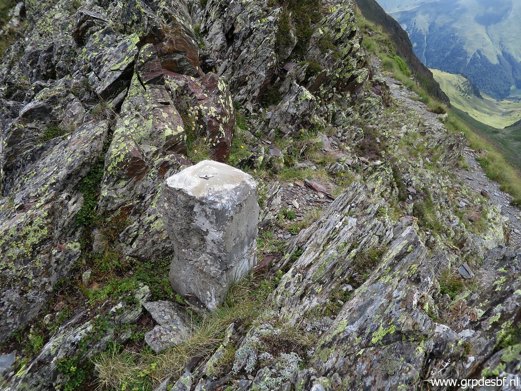
But first there is bm333 click photo to enlarge |
 |
Bm333 click photo to enlarge |
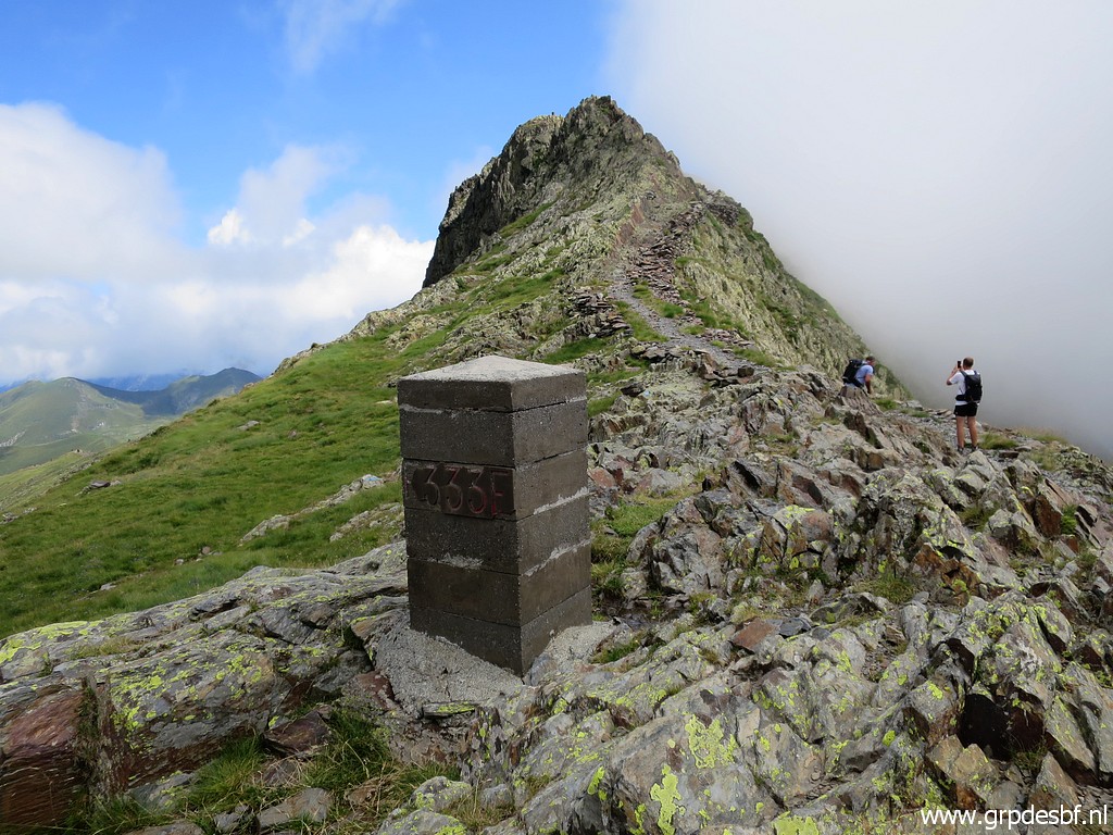 |
Bm333 click photo to enlarge |
 |
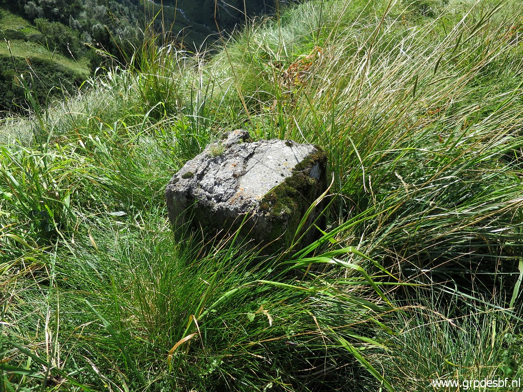
Further on, there is - on the ridge itself - a so called 'borne de paçage'. They were placed in the 19th century to delimitate the borders of Spanish-owned land on the French side of the border. Although no international demarcation, they were included in the treaties to regulate the grazing territory of the Spanish communities who owned land on French soil. They were also reinstalled in the restauration of 1950-ies, having vanished before. click photo to enlarge |
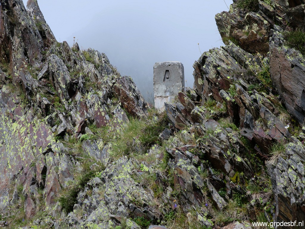 |
Borne de paçage A Charles Darrieu provided me with the gps-waypoints to find them. As far as I know, he has been the first (and only one) to try to find them back. More information on this special page. click photo to enlarge |
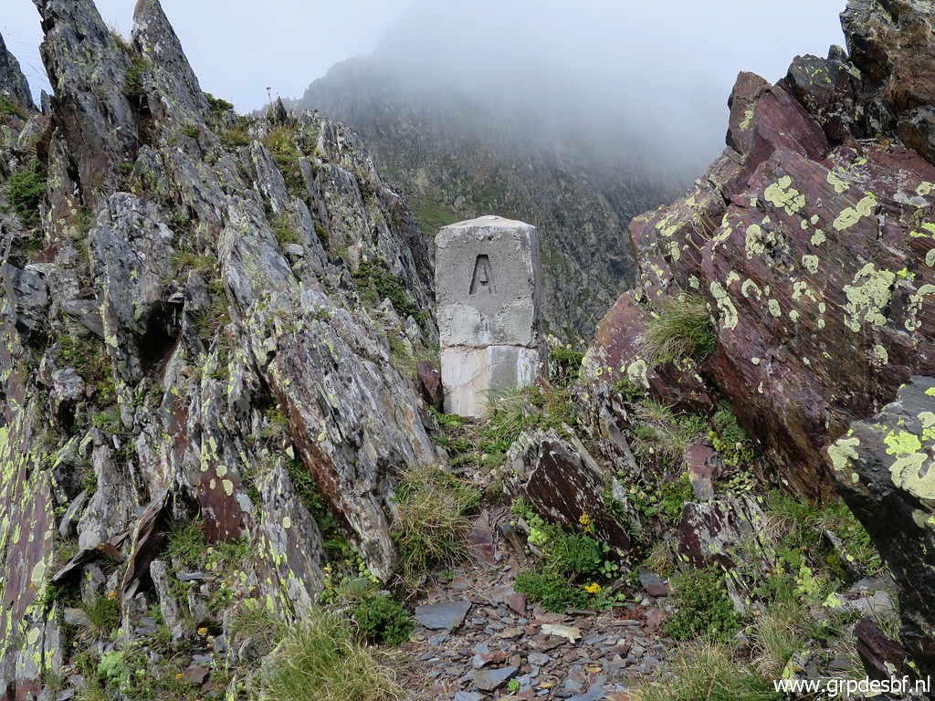 |
Borne de paçage A click photo to enlarge |
 |
Borne de paçage A click photo to enlarge |
 |
Moving on to click photo to enlarge |
 |
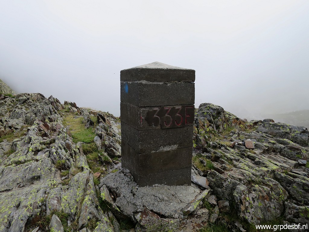
bm334 which is on a little detour from the trail. click photo to enlarge |
 |
Bm334 click photo to enlarge |
 |
with an unknown marker besides it. click photo to enlarge |
 |
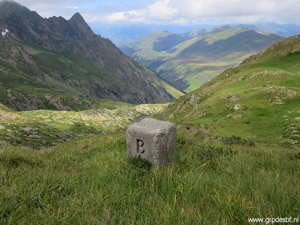
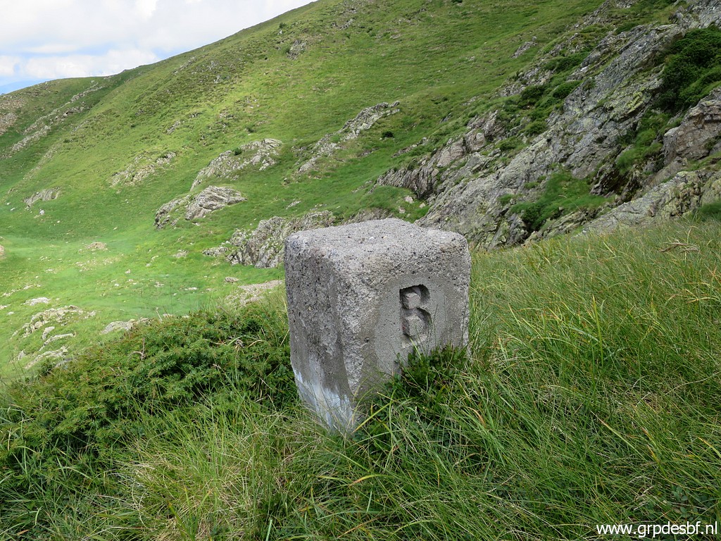
The next goal is borne de paçage B, ± 100m west of the trail click photo to enlarge |
|
Borne de paçage B click photo to enlarge |
|
Borne de paçage B click photo to enlarge |
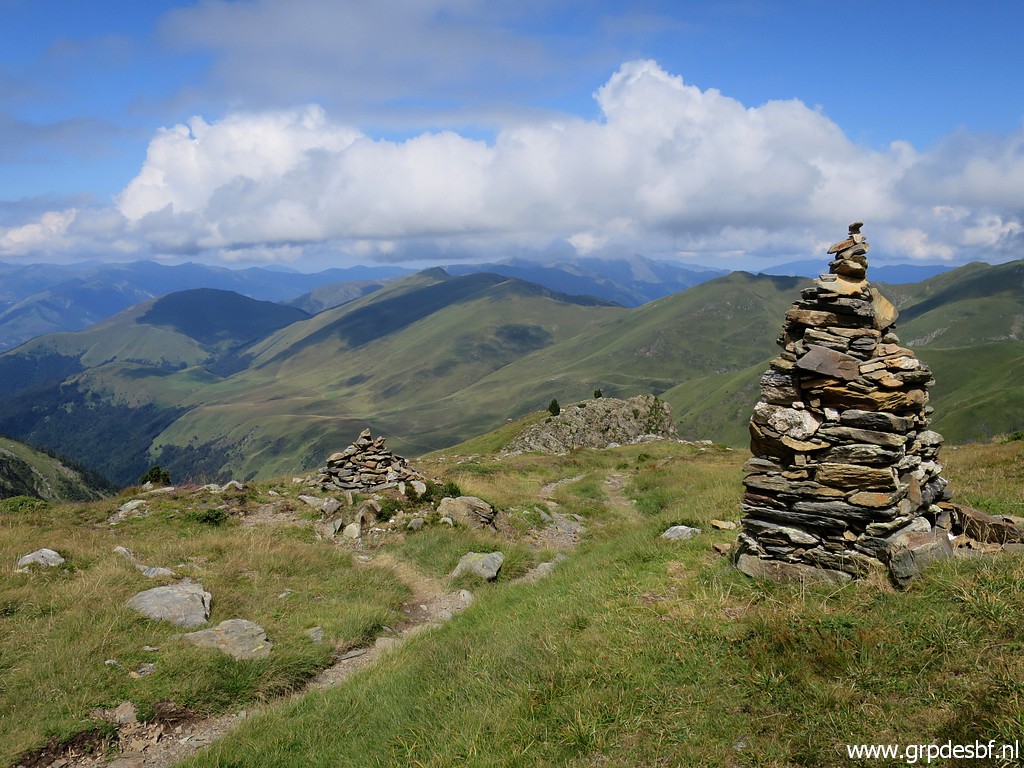 |
I climb back to the trail and pass later on these remarkable cairns. click photo to enlarge |
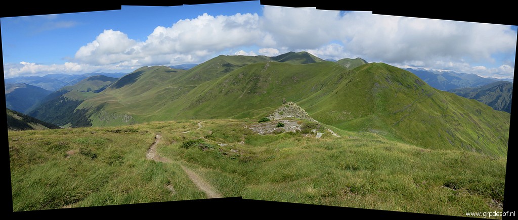 |
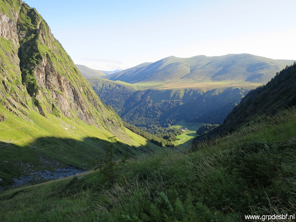
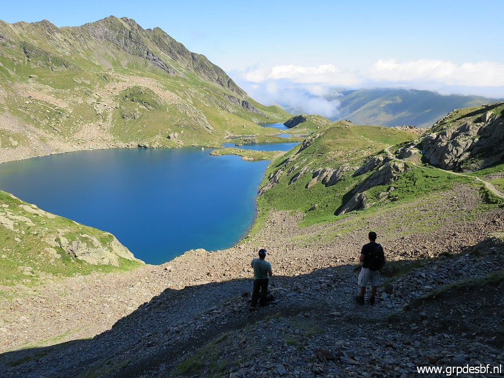
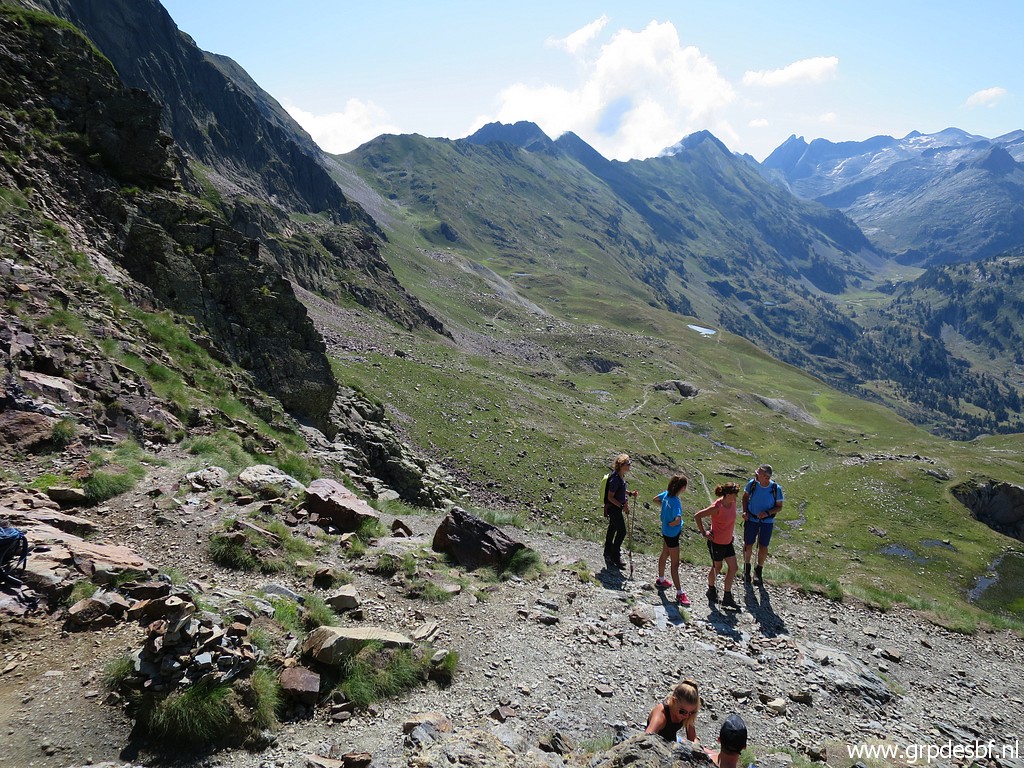
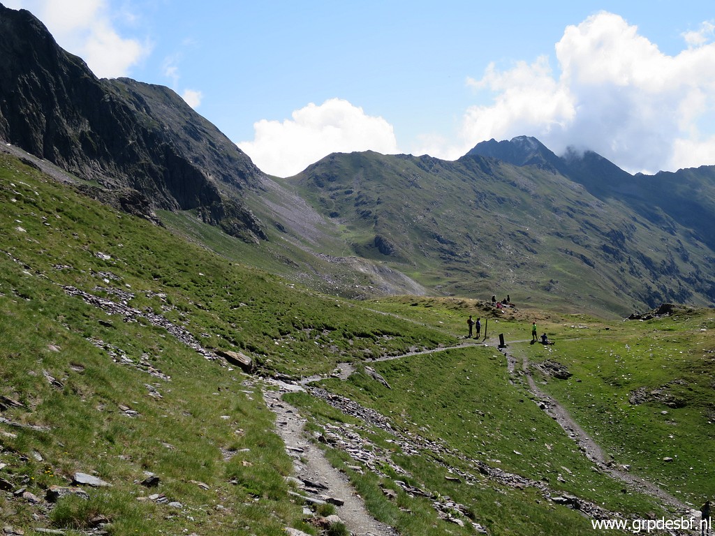
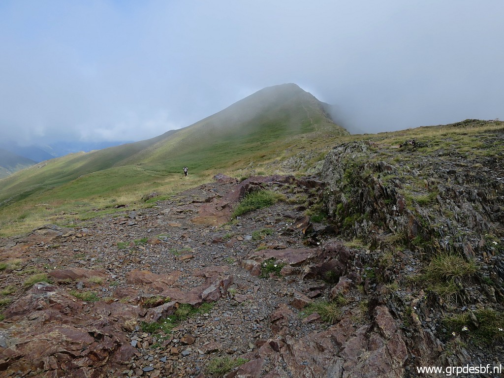
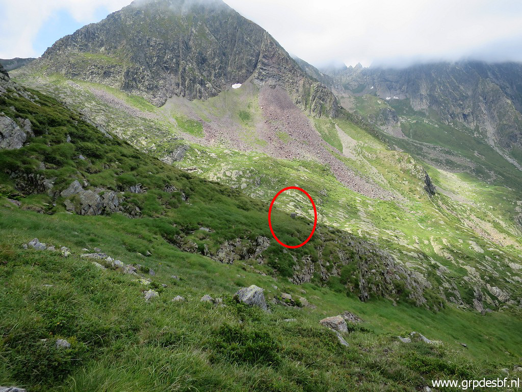
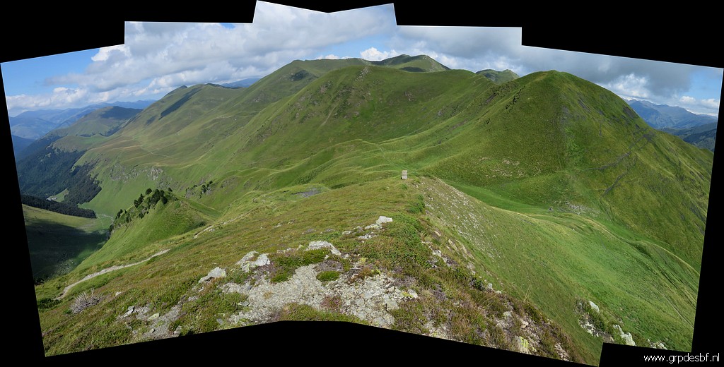
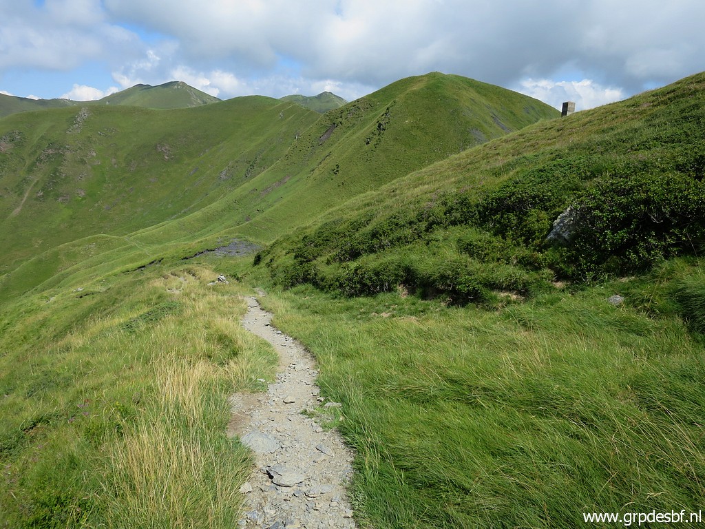
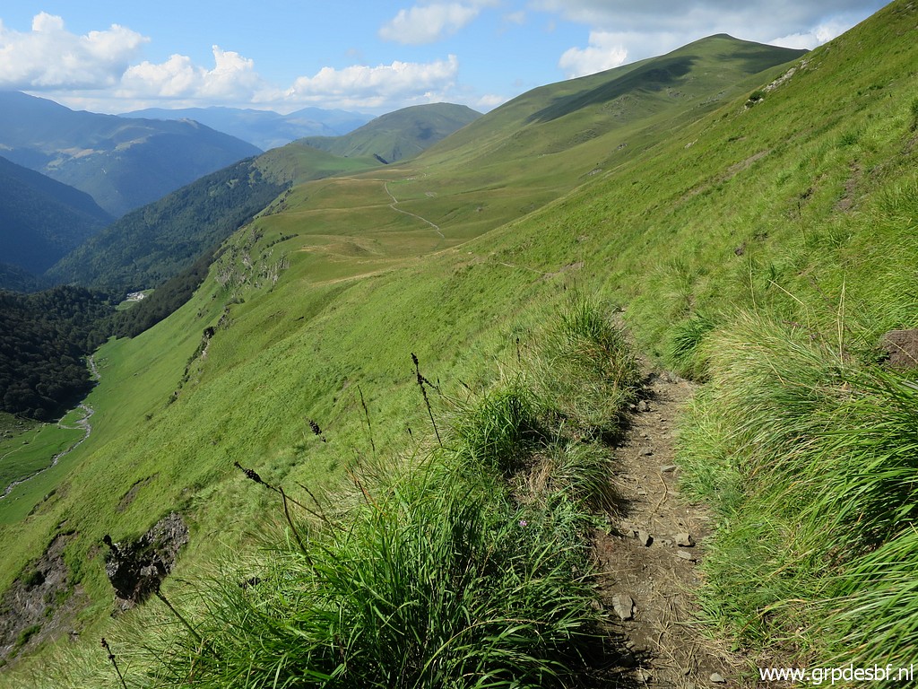
This panorams gives an overview of the mountain ridge ahead which is (mainly) the borderline up to bm355. click photo to enlarge |
 |
The trail descends to Pas de la Mounjoye with bm336 click photo to enlarge |
 |
but first there is bm335 click photo to enlarge |
 |
above the trail. click photo to enlarge |
 |
Bm335 click photo to enlarge |
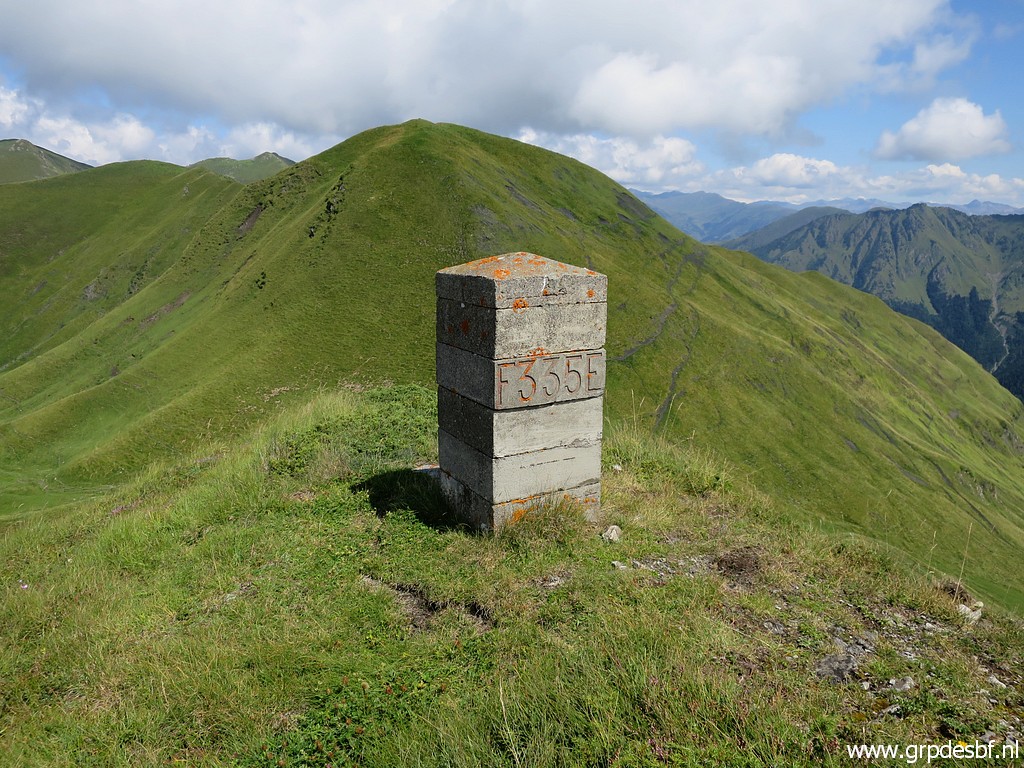 |
Bm335 click photo to enlarge |
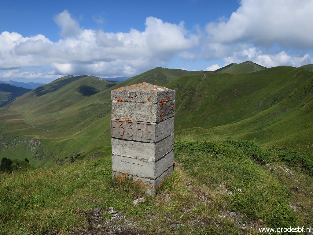 |
Bm335 click photo to enlarge |
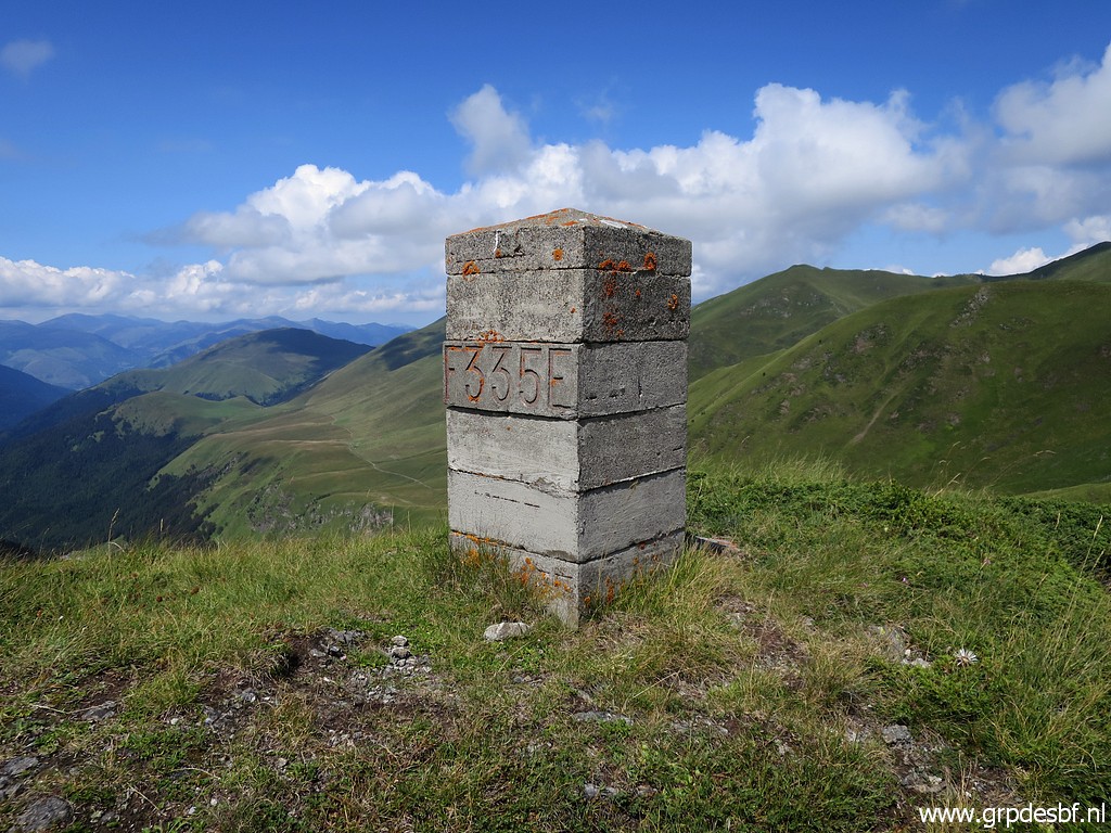 |
Bm335 click photo to enlarge |
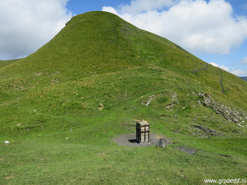 |
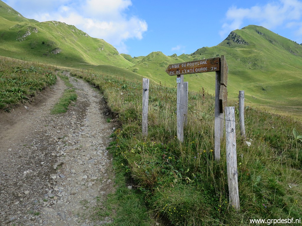
Arriving at bm336. Ahead is the hilltop of Pic de la Mounjoye with bm337. The main route of the GRPdesBF will skip bm337-340 and take a trail at the right side (east-side) of this hillridge to proceed to the valley of Roumingou. To the left is another trail heading north and finally arriving at Col de Barèges. click photo to enlarge |
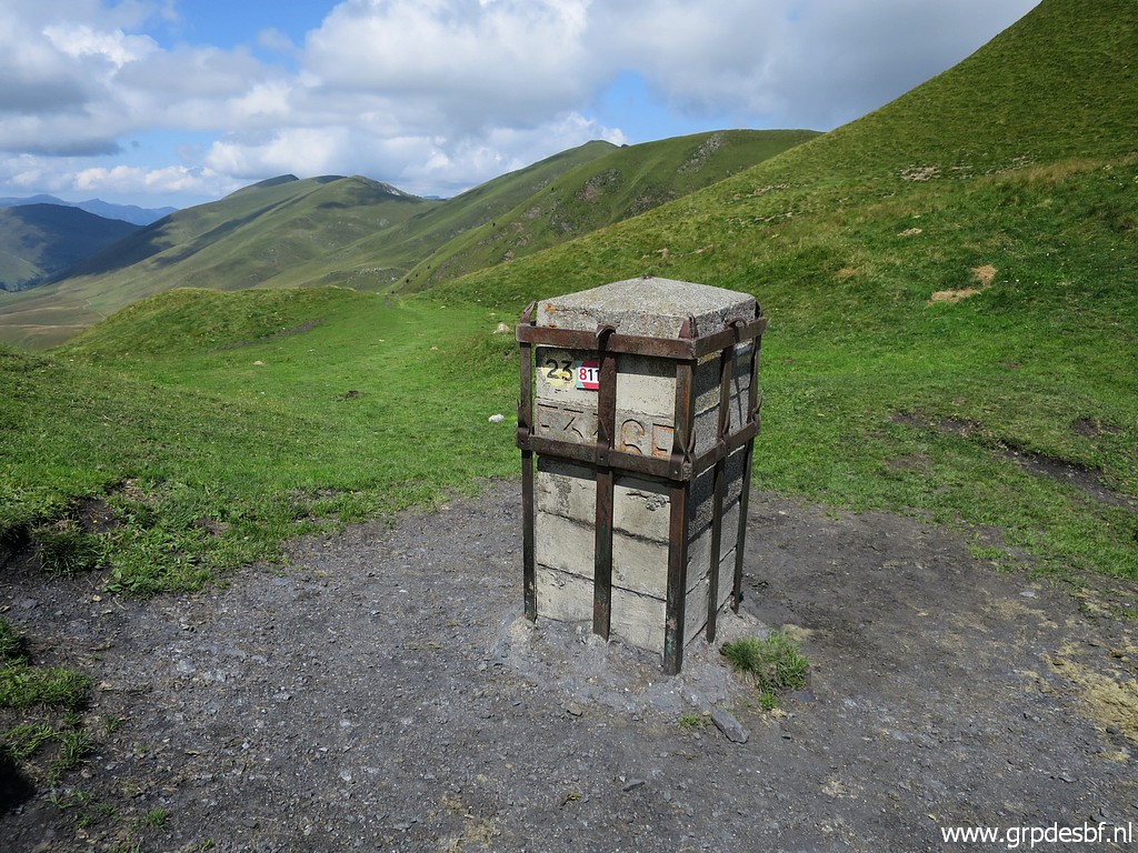 |
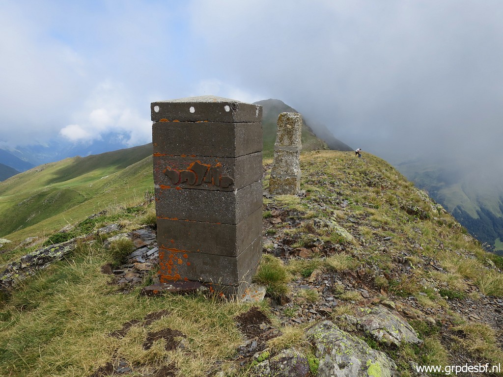
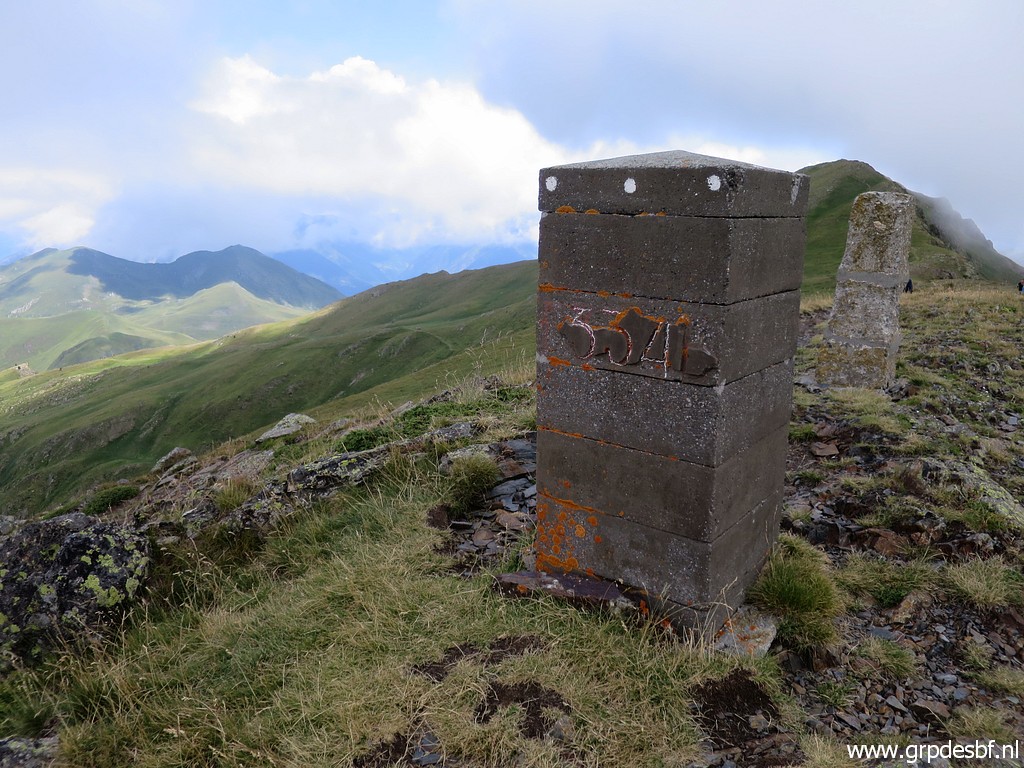
Bm336 click photo to enlarge |
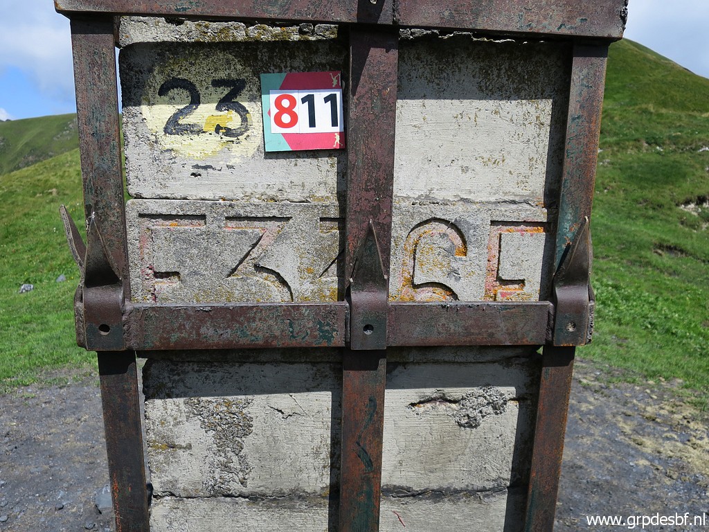 |
Bm336 click photo to enlarge |
 |
Bm336 click photo to enlarge |
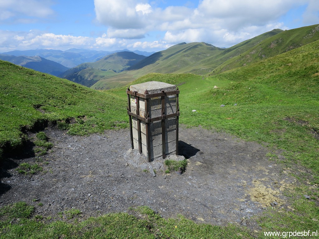 |
Bm336 click photo to enlarge |
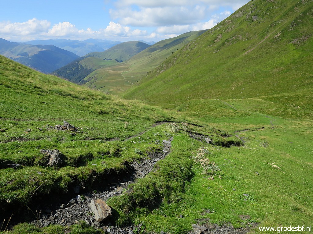 |
I decide to continue on the left trail - west of the ridge - to cover some other bornes de paçage. click photo to enlarge |
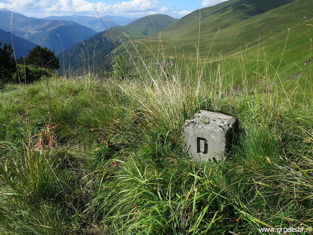 |
Borne de paçage D which is also west of the trail and requires more searching. click photo to enlarge |
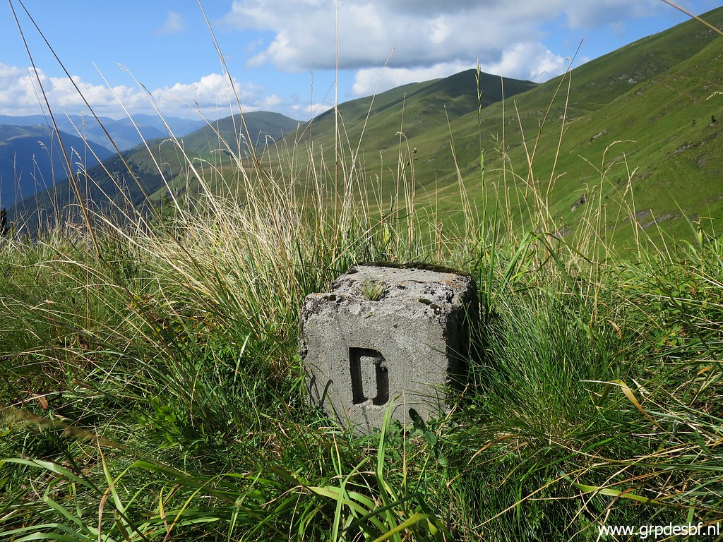 |
Borne de paçage D click photo to enlarge |
 | Borne de paçage D click photo to enlarge |
 |
Continuing north click photo to enlarge |
 |
and arriving at this fence. click photo to enlarge |
|
Borne de paçage H is further on to the right of the trail, close to the borderline. click photo to enlarge |
|
Borne de paçage H click photo to enlarge |
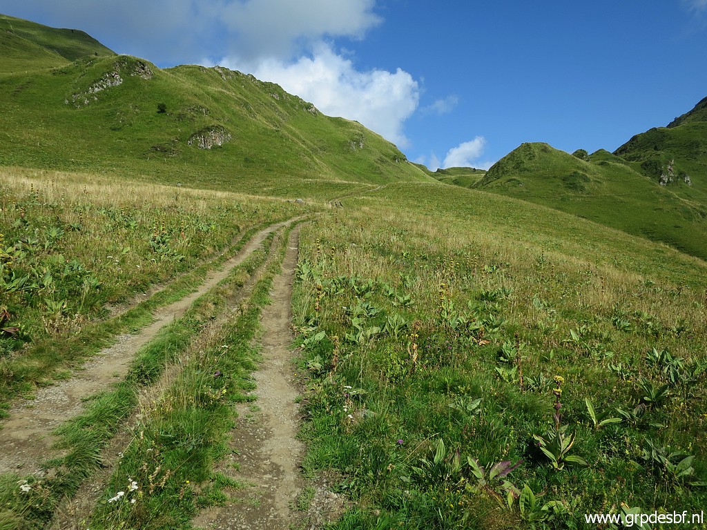 |
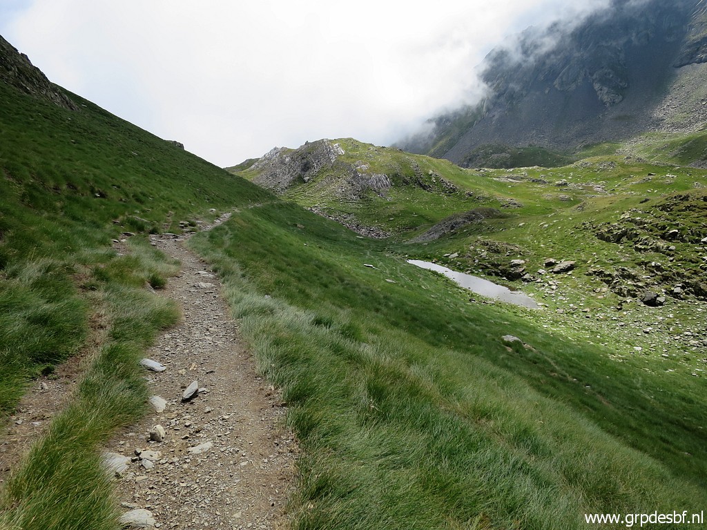
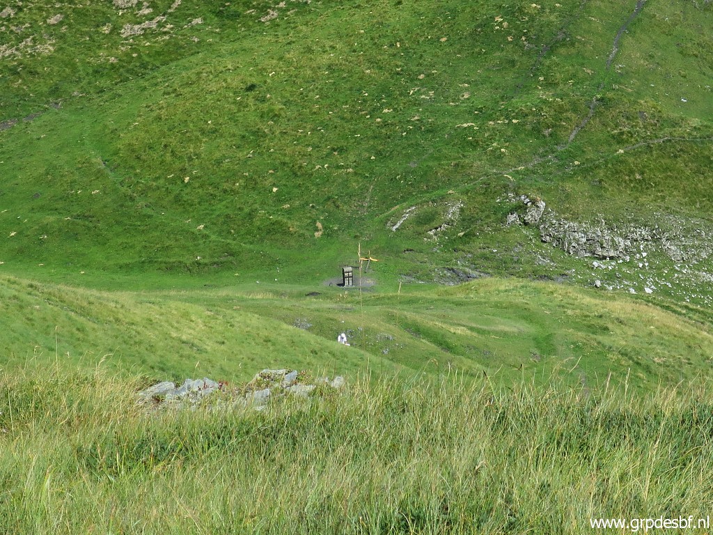
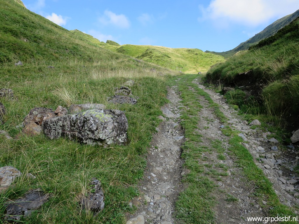
I have arrived at the dirtroad leading up to the valley of Roumingou with click photo to enlarge |
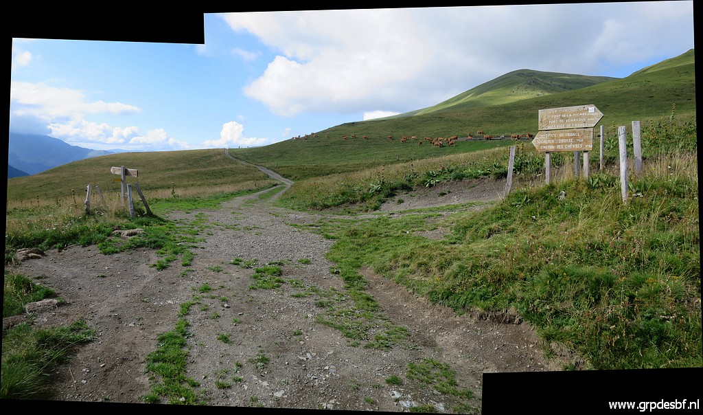 |
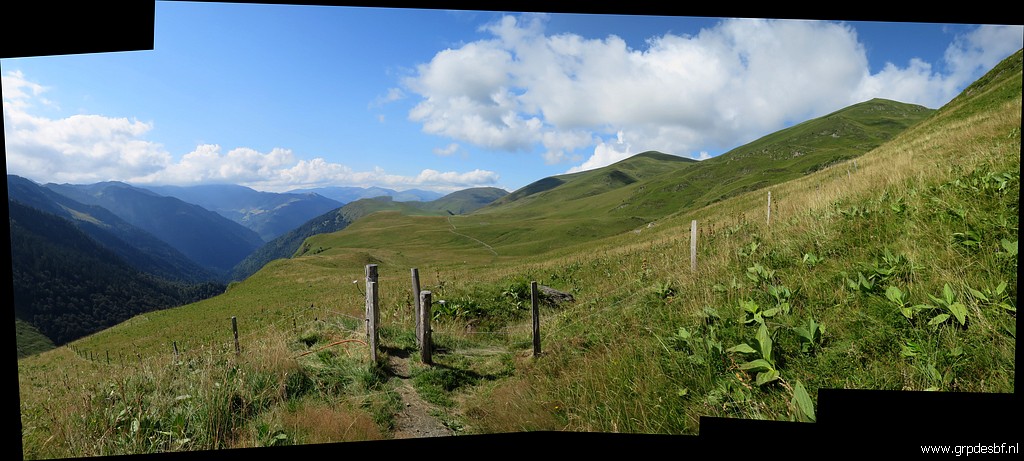
That dirtroad starts at this crossing (looking north). To the right is to the valley of Roumingou. Straight on is towards to Cabane de Roumingau and that is the continuation of the main route towards Col de Barèges. To the left a trail descends to Hospice de France. click photo to enlarge |
 |
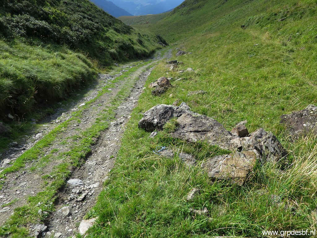
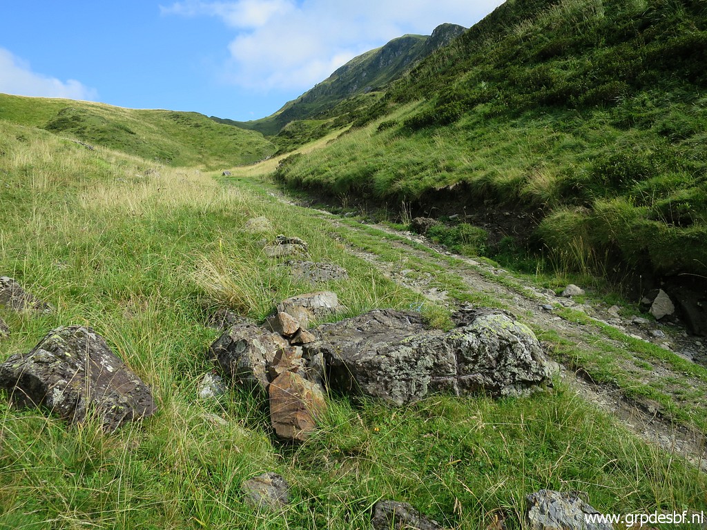
I take the dirtroad to the valley of Roumingou click photo to enlarge |
|
with a short detour to cover borne de paçage I. click photo to enlarge |
|
Borne de paçage I click photo to enlarge |
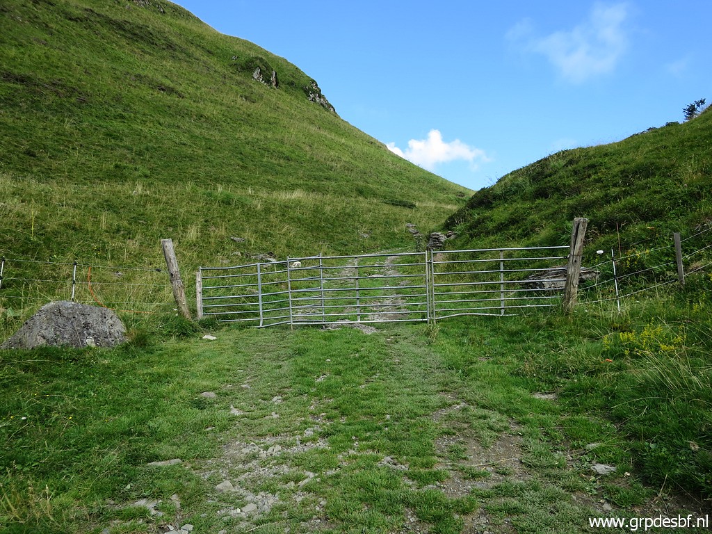 |
Arriving at a gate click photo to enlarge |
 |
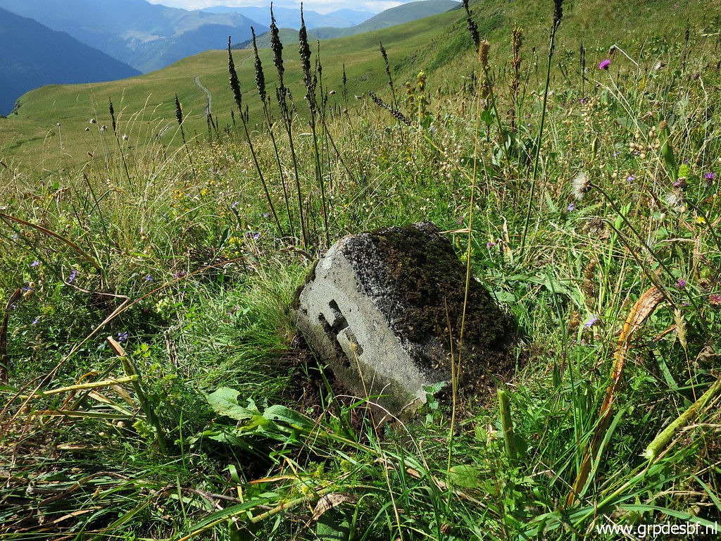
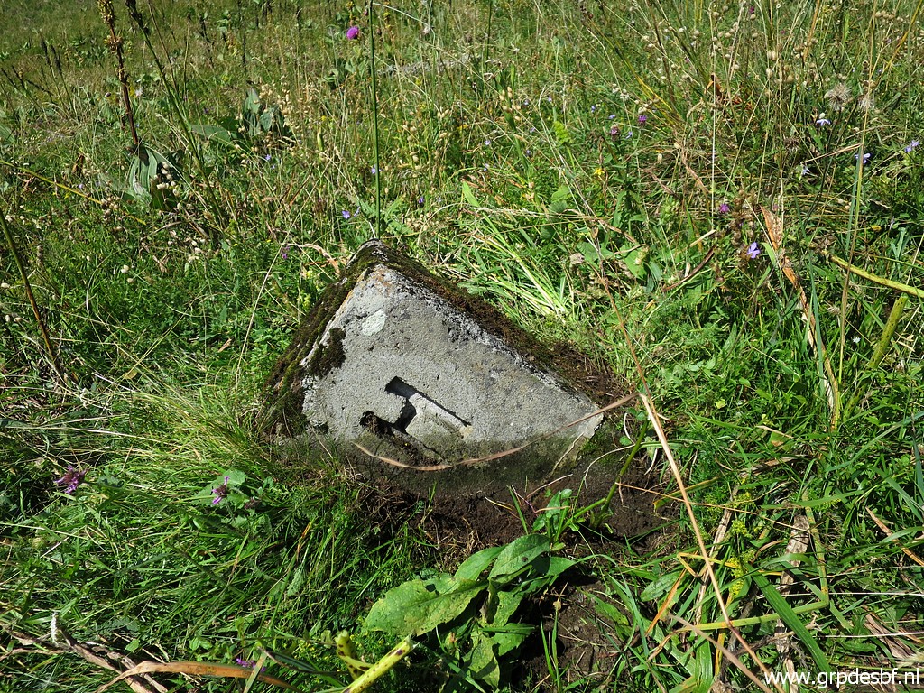
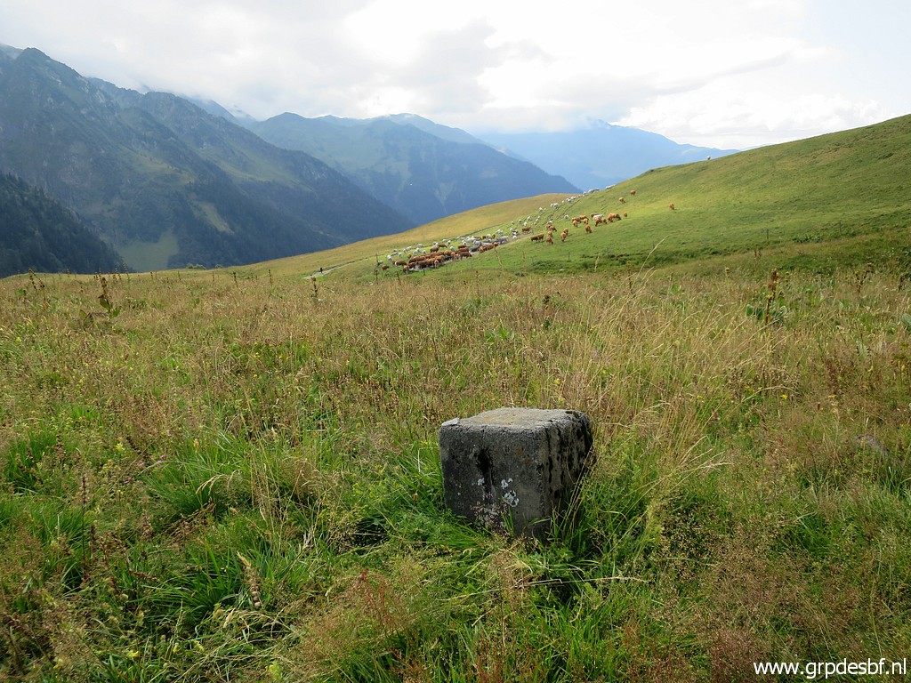
with ± 75m beyond it this rock along the dirtroad (looking back) click photo to enlarge |
 |
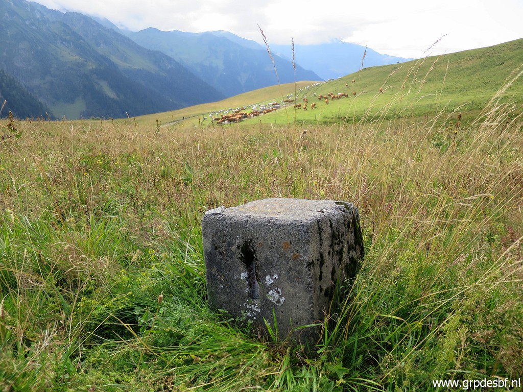
Same rock, now seen from the east. click photo to enlarge |
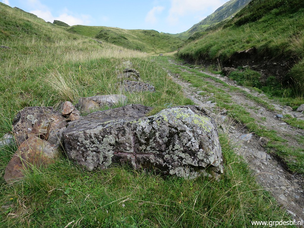 |
This is an unnumbered bordermarker, engraved in the 1950-ies when the bordermarkers
on the ridge were restaurated. It has a large cross engraved at his side click photo to enlarge |
 |
and at the top another engraving. click photo to enlarge |
 |
Another picture click photo to enlarge |
 |
Close-up with the engravings chalked. click photo to enlarge |
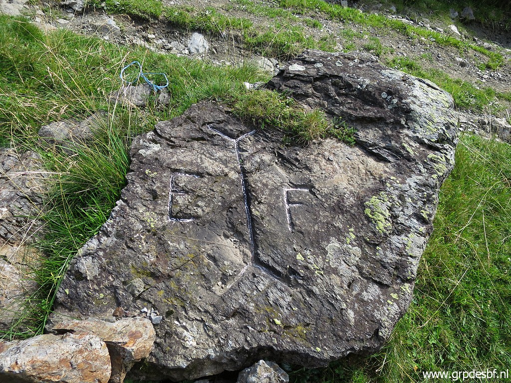 |
The engravings at the top. click photo to enlarge |
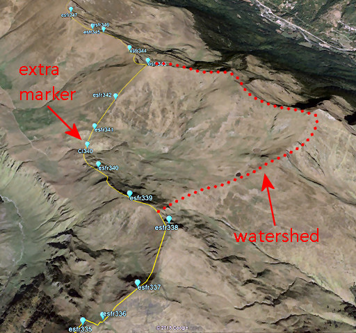 |
The reason for this extra marker? Between bm338 and 343 the borderline leaves the watershed, ceding the valley of Roumingou to Spain. Between bm340 and 341 the borderline crosses the dirtroad and that's where this extra marker was engraved. The international bordercommission that reinstalled the since long vanished bordermarkers in this region in the 1950-ies, decided to engrave this extra marker. CI340 means "croix intermédiaire 340". |
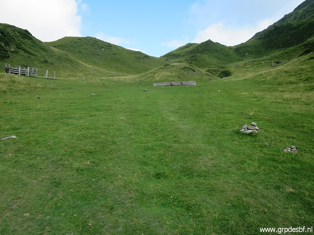 |
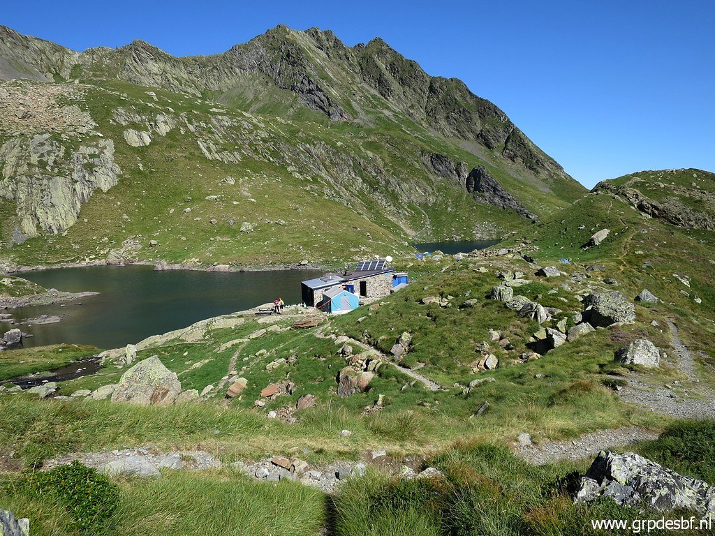
Having arrived on the spot of my bivouac for the night: the valley of Roumingou with click photo to enlarge |
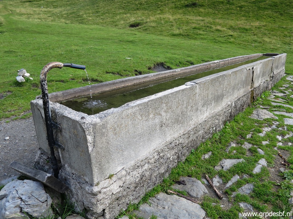 |
a water source click photo to enlarge |
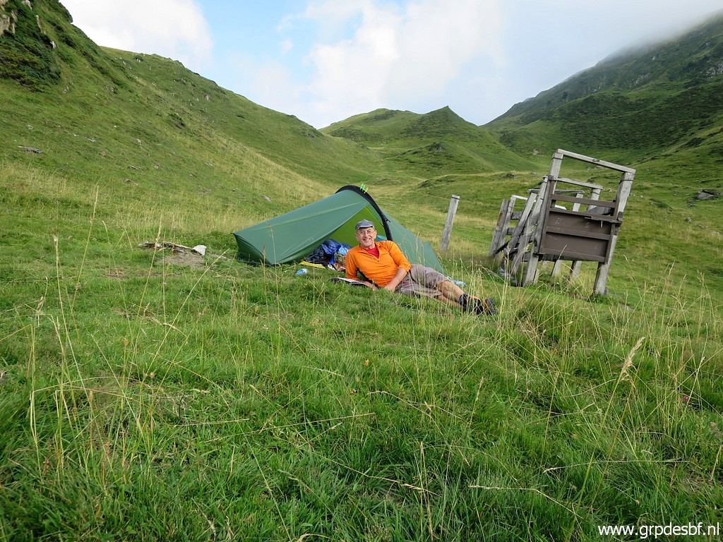 |
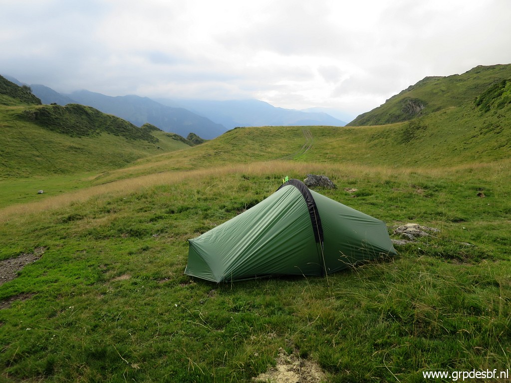
and enough flat space for a tiny tent though this picture suggests a tilted underground. I'm content and tired click photo to enlarge |
 |
and will sleep a solid and long sleep. When I go out for a pee, I see the milky way, thrilling. click photo to enlarge |