|
The
bordermarkers of the Pyrenees : all my trips
 |
|
| -
monday 27 august
2018 - Redoing bm386-405 |
 |
 |
Summary:
one of 8 solo daytrips in
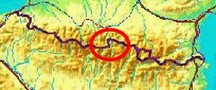
the Pyrenees, in the area of Haute-Garonne near Bagnères-de-Luchon, in
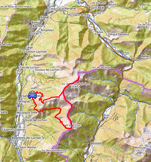
order to redo the bordermarker-range no. 331 to 417. Today: redoing bm368-405 as part of my project of having visited every bm twice with at least one year in between. Long trip due to the time needed to get on the borderridge and back. Weather: sunny & warm |
 track-20180827.kml
(click to open this trip in Google Earth or copy link to Google Maps; click right on this link to download gpx-version). The gps-track has not been manually corrected which explains the inaccuracy and misalignment at some points. For cartographic backgrounds: see the cartography-page Gps-waypoints of all bordermarkers (most recent version): kml: esfr-bordermarkers-all-waypoints.kml gpx: esfr-bordermarkers-all-waypoints.gpx |
|
 |
According to Garmin
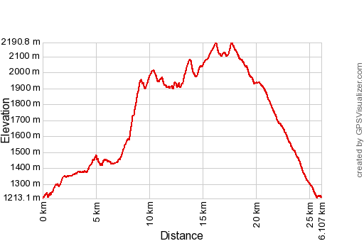
Basecamp: Distance: 26,1 km Max-height: 2191m Min-height: 1213m Elevation: +2034m -2034m Total elevation: 4068m Start 8:56 Finish 19:14 Total time: 10:18 |
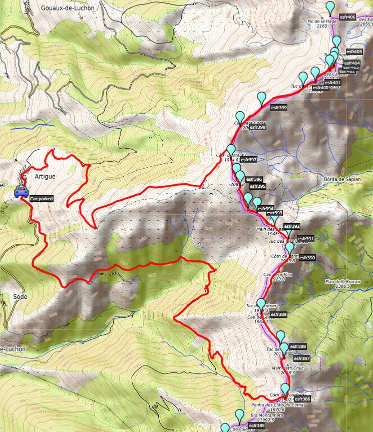
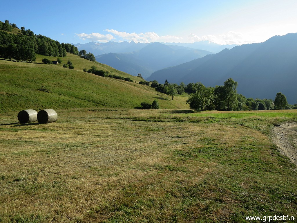
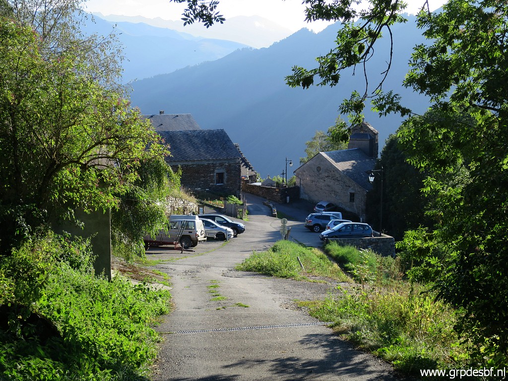
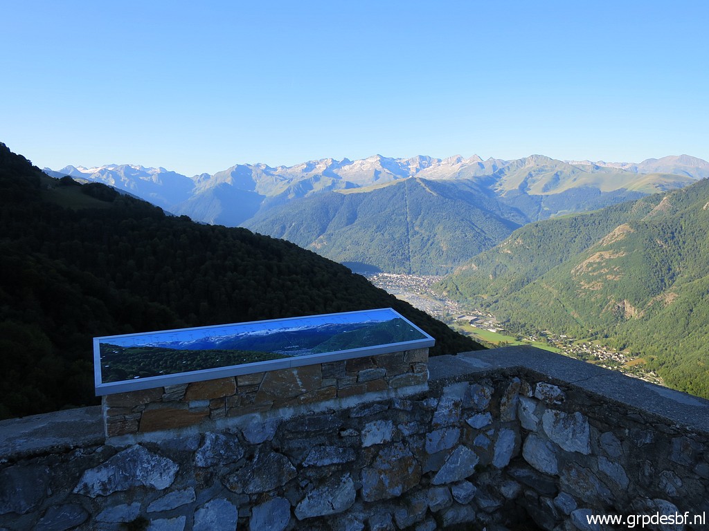 | I park my car at Artigue. From the parking lot, this view to click photo to enlarge |
 | the Maladeta-massif, I think. click photo to enlarge |
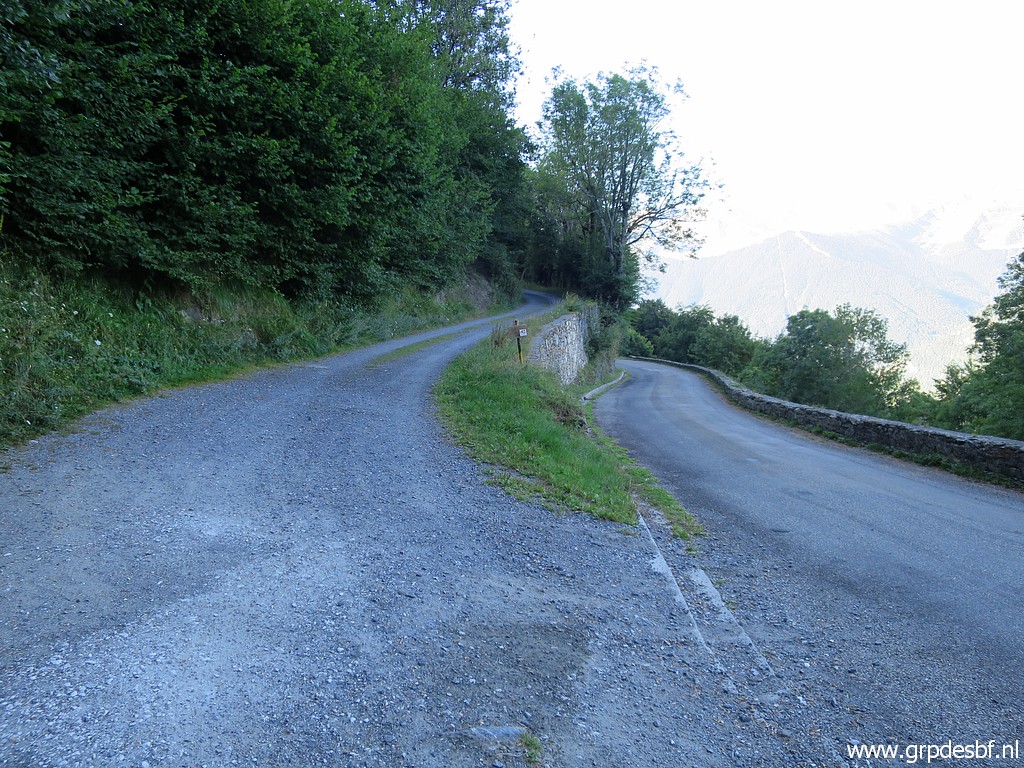 | Getting on the borderridge requires a long walk along mountain roads. At this point I go left and will soon get on a dirtroad. click photo to enlarge |
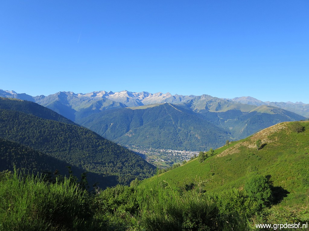 | A view towards click photo to enlarge |
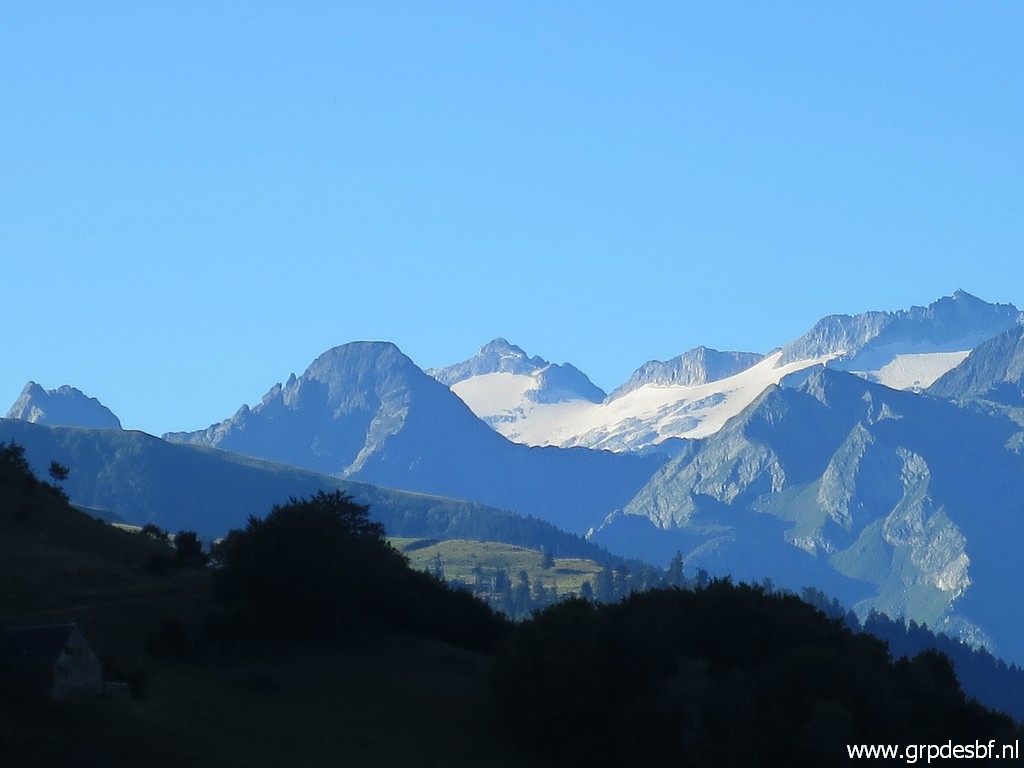
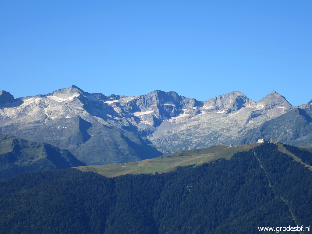 | the ski-hotel on Superbagnères with in the background the borderridge. No bordermarkers there between bm330bis and 331 for 15km along the borderline. Too high and rocky for regular borderpasses thus no need to. click photo to enlarge |
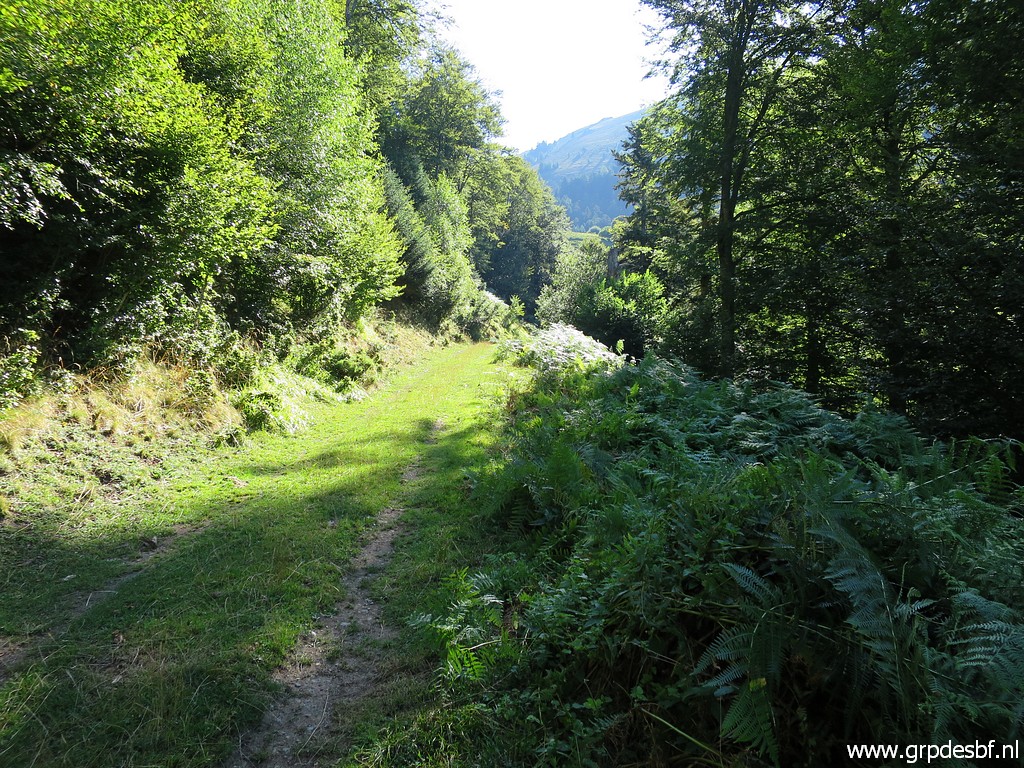 | I continue on the dirtroad which follows the contours of the hillside and ends at a certain point. click photo to enlarge |
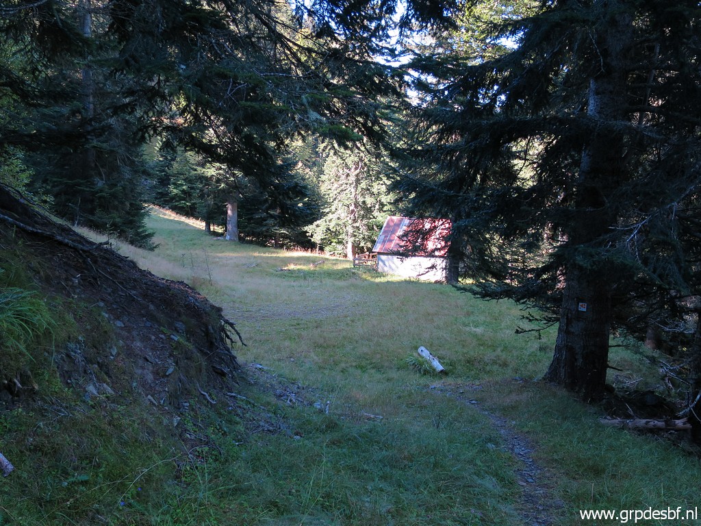 | After crossing a stream and taking a trail though the forest, I pass along this simple cabin: Cabane de Cuéou, click photo to enlarge |
 | very basic... click photo to enlarge |
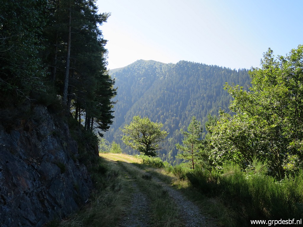 | Beyond the cabane, there is again a mountain road but click photo to enlarge |
 | at one point I have to start climbing to the borderridge. First through this forest straight up to click photo to enlarge |
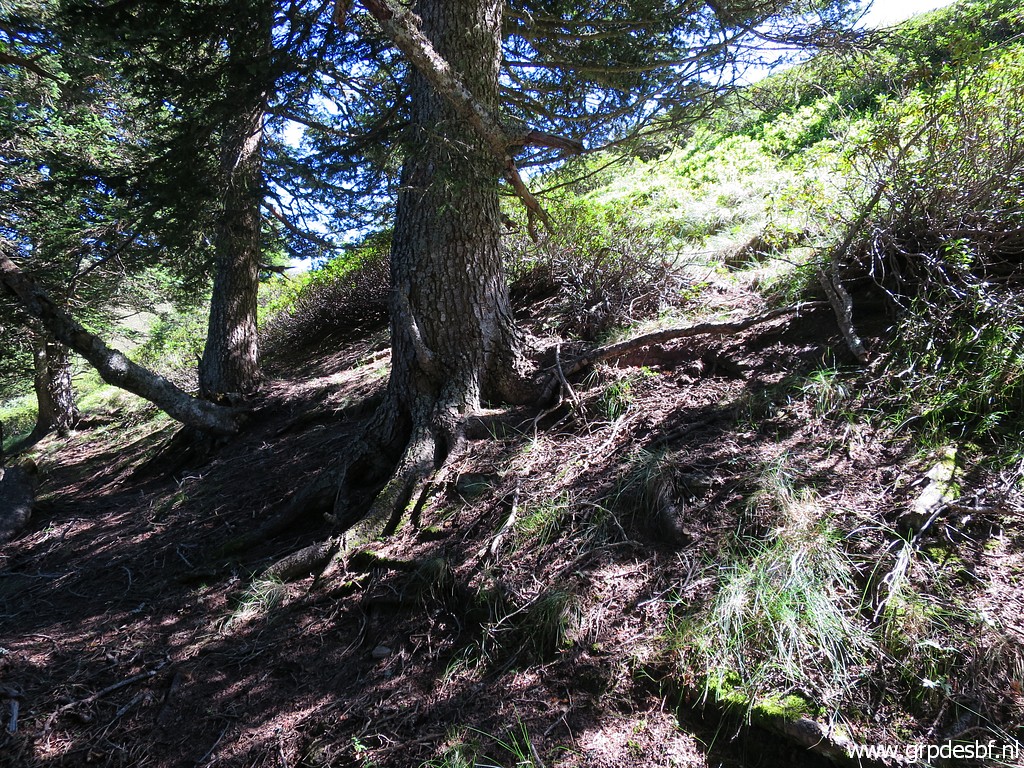 | it's upper edge close to the borderridge. Then it is a short climb through the grass and undergrowth click photo to enlarge |
 | to bm386 click photo to enlarge |
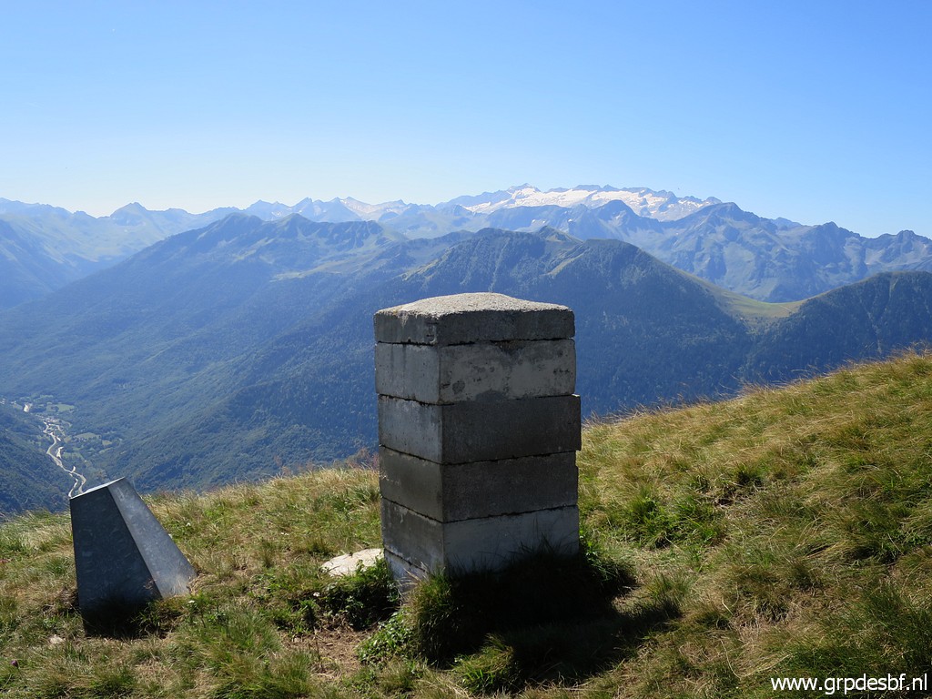
 | There is a magnificient view to the south with three borderlines to spot. click photo to enlarge |
 | Bm386 click photo to enlarge |
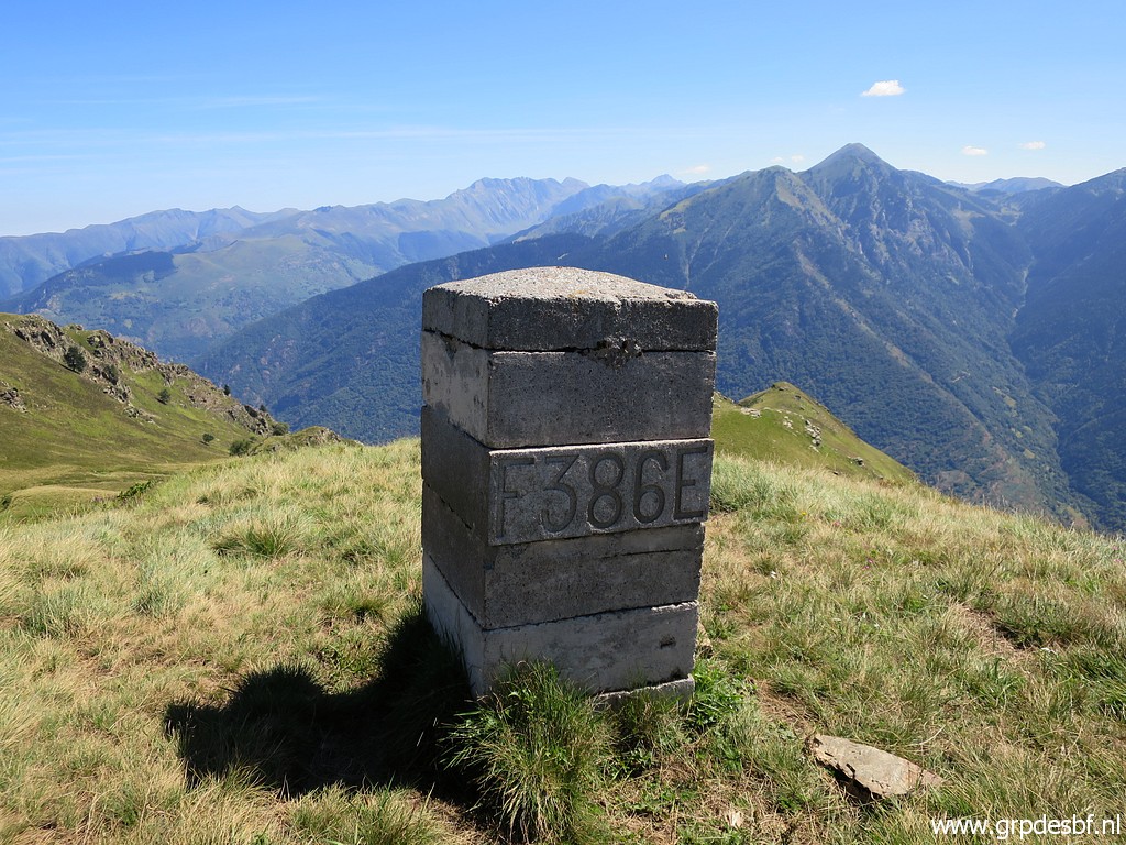 | Bm386 click photo to enlarge |
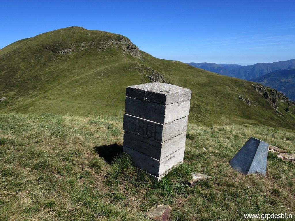
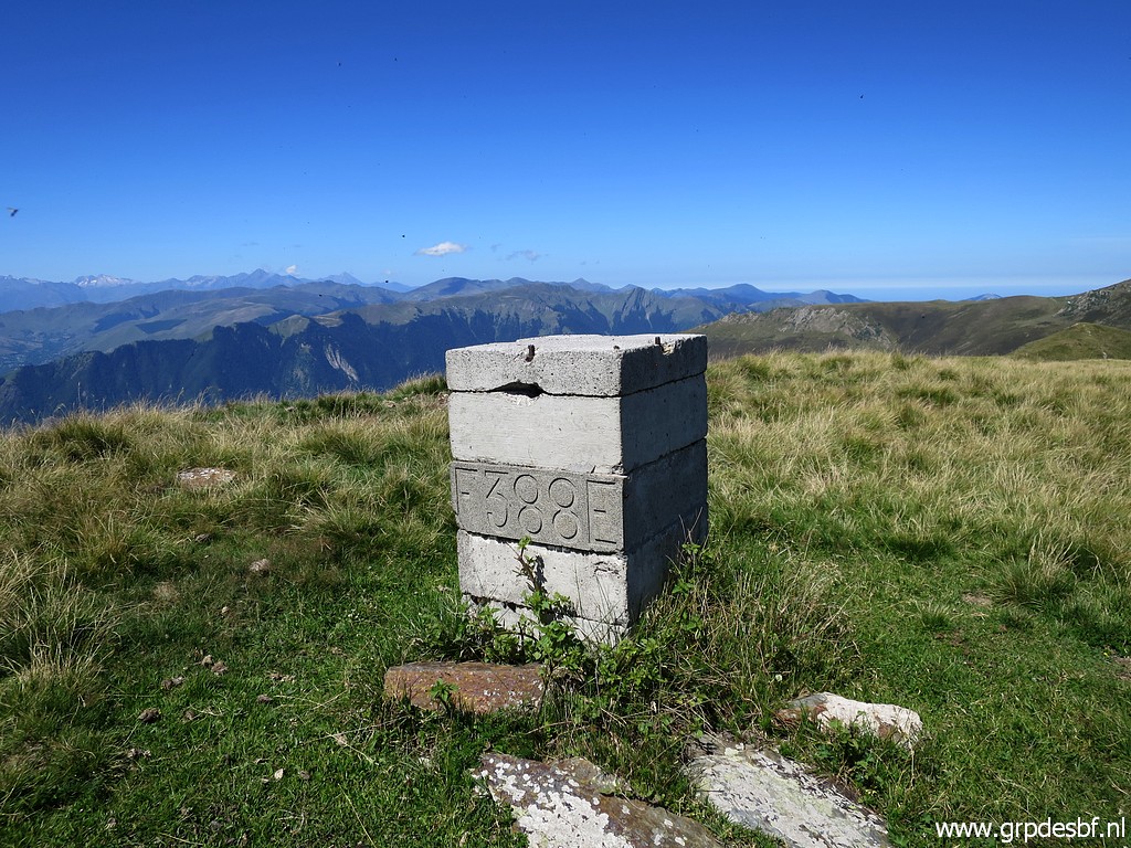
 | Bm386 with the base of the former masonry bm of the 19th century. I am on the ridge and will follow it to the north. That involves considerable elevation in its ups and downs. click photo to enlarge |
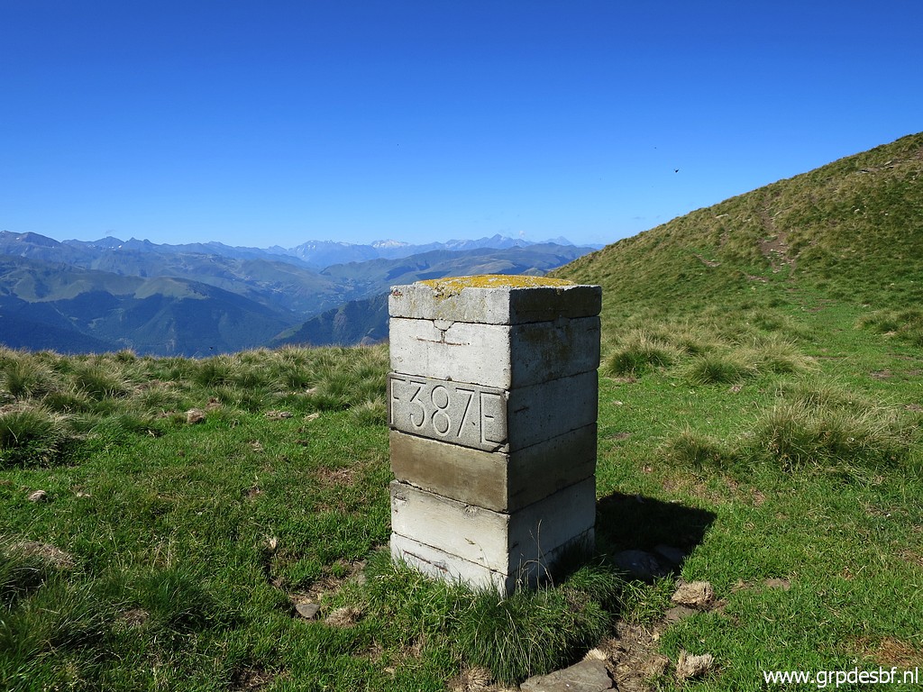 | Bm387 click photo to enlarge |
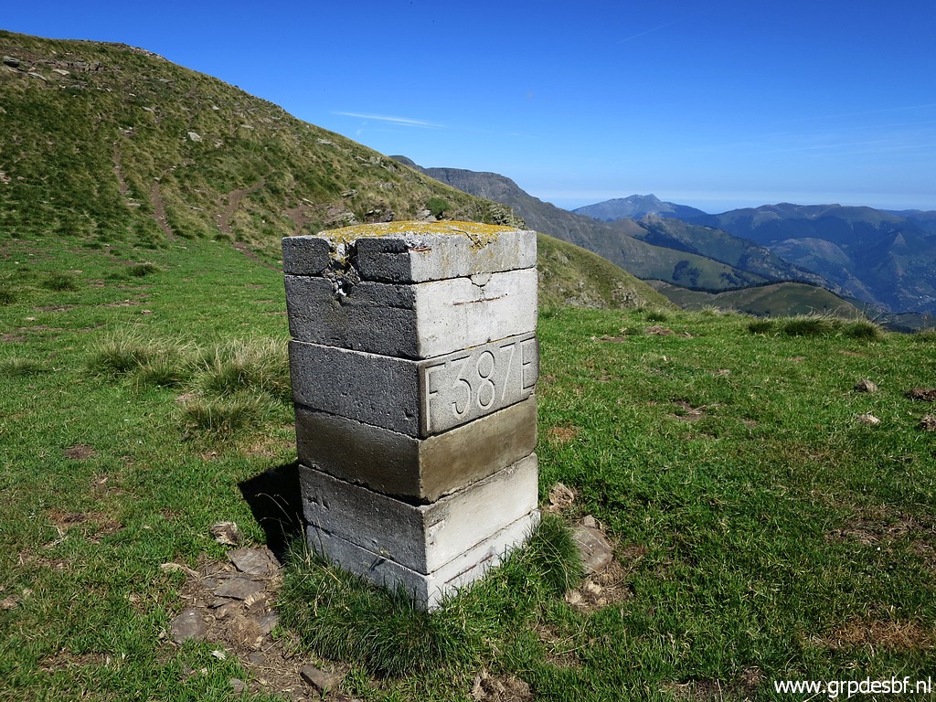 | Bm387 click photo to enlarge |
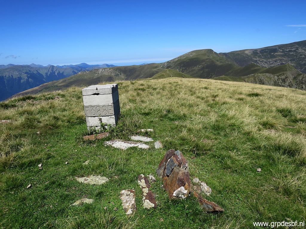 | Bm388 click photo to enlarge |
 | Bm388 click photo to enlarge |
 | Bm388 click photo to enlarge |
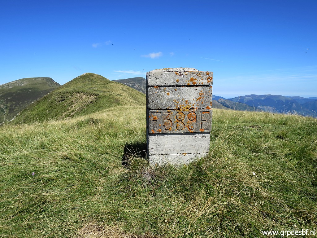 | Bm389 click photo to enlarge |
 | Bm389 click photo to enlarge |
 | Bm390 click photo to enlarge |
 | Bm390 click photo to enlarge |
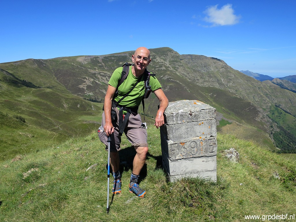 | Bm391 I meet two ladies who kindly took this picture of me. click photo to enlarge |
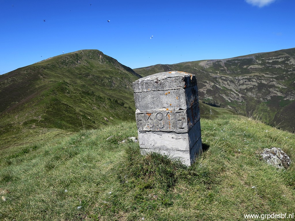 | Bm391 click photo to enlarge |
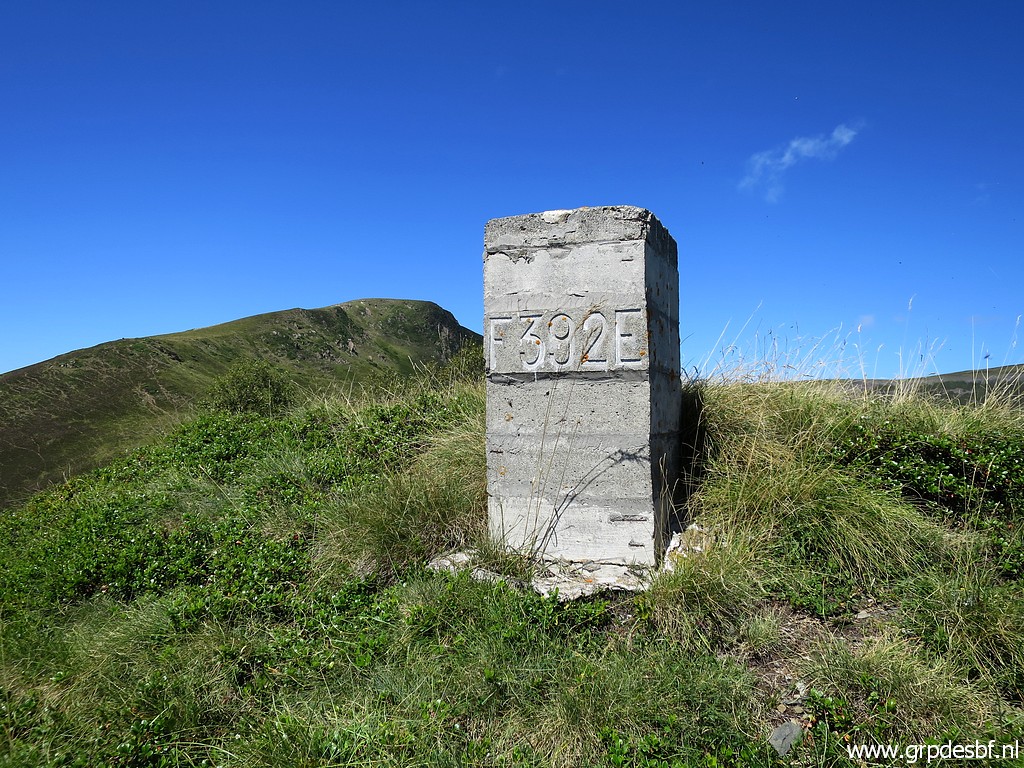 | Bm392 click photo to enlarge |
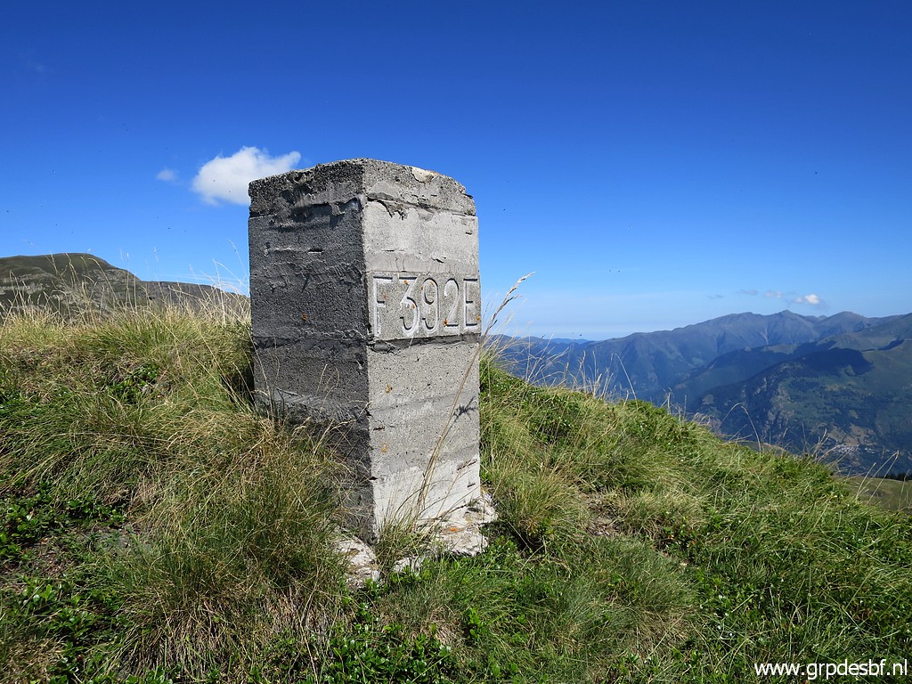 | Bm392 click photo to enlarge |
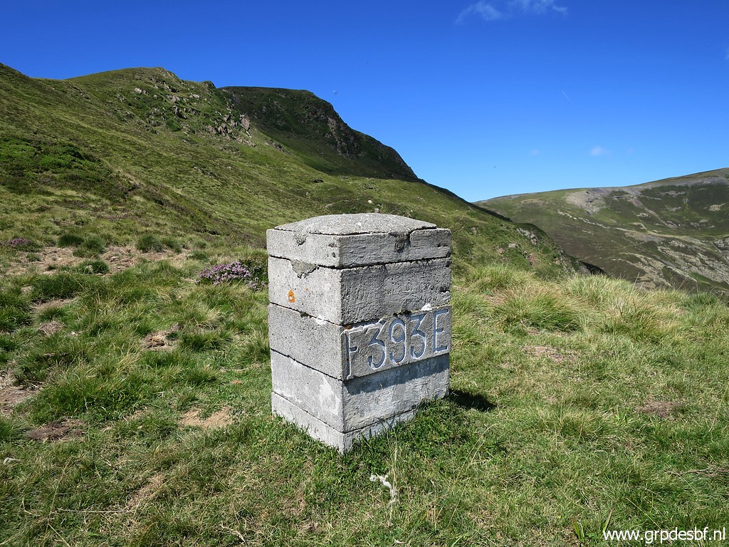 | Bm393 click photo to enlarge |
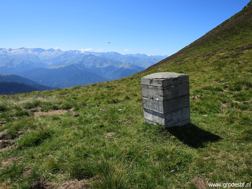 | Bm393 click photo to enlarge |
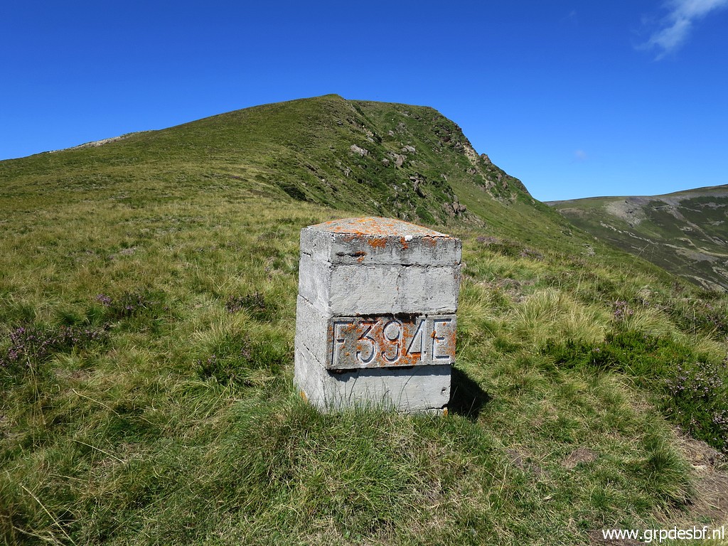 | Bm394 click photo to enlarge |
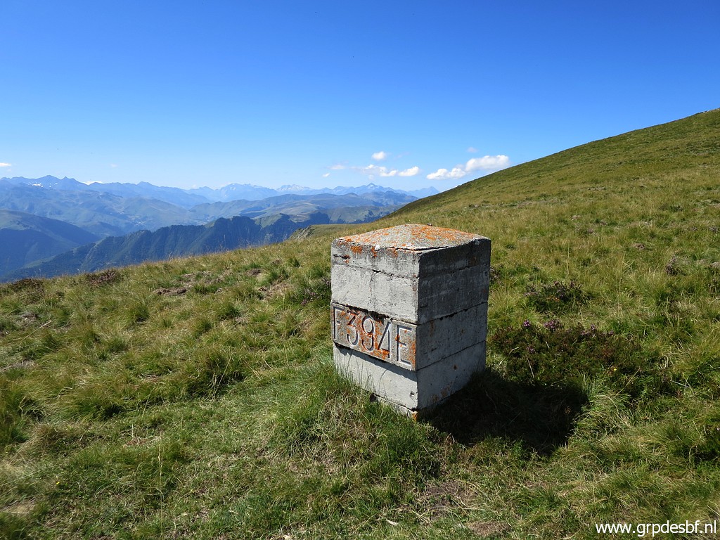 | Bm394 click photo to enlarge |
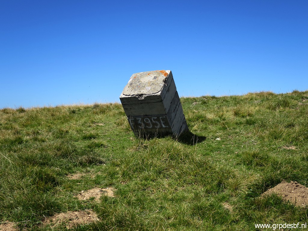 | Bm395 click photo to enlarge |
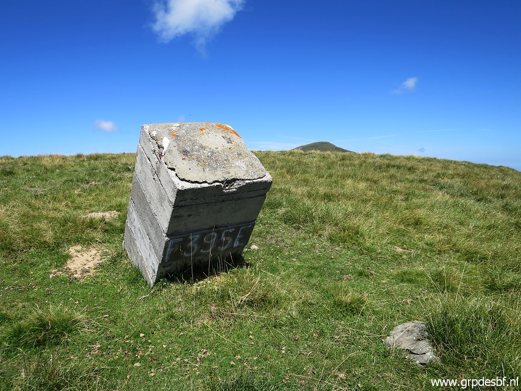 | Bm395 click photo to enlarge |
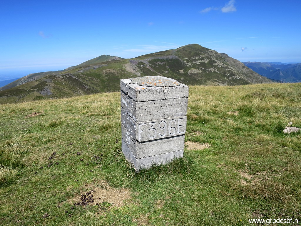 | Bm396 click photo to enlarge |
 | Bm396 click photo to enlarge |
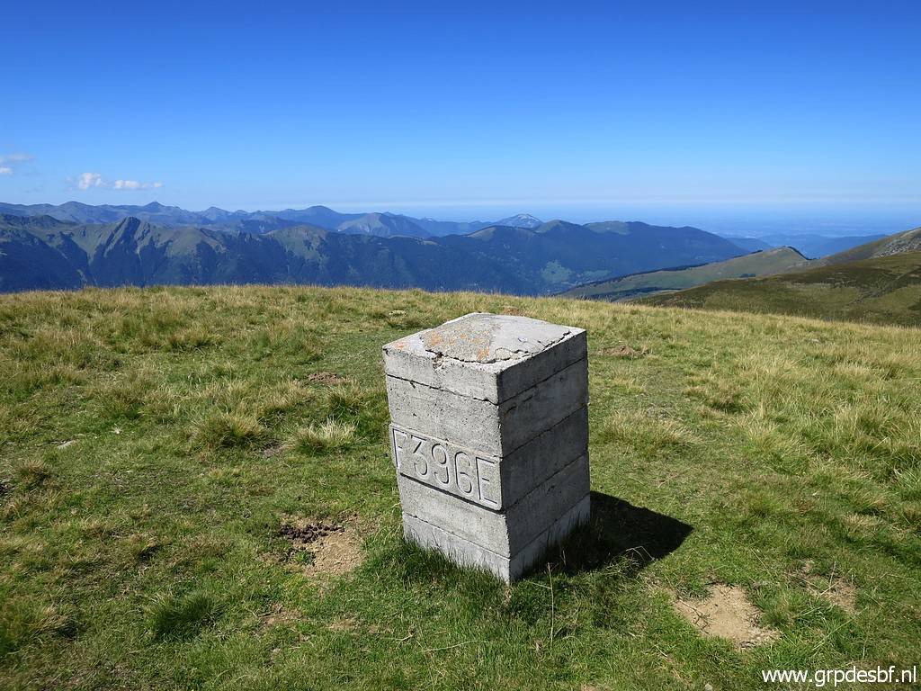
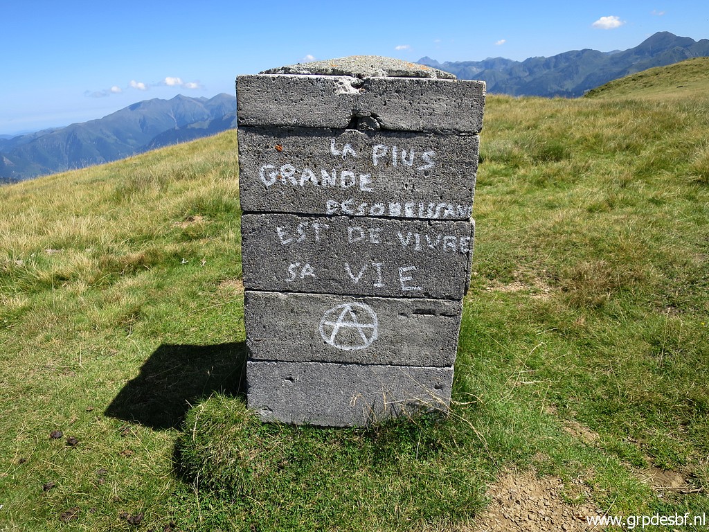 | Bm396, backside with a grand motto for life: "the greatest disobedience is to live your own life" click photo to enlarge |
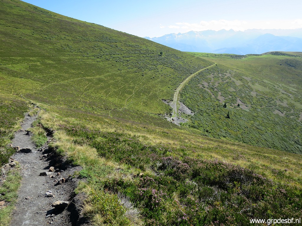
 | Looking forward to Col des Taons de Bacanère click photo to enlarge |
 | with - zoom-in - bm397 already visible. click photo to enlarge |
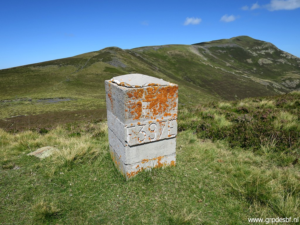 | Bm397 click photo to enlarge |
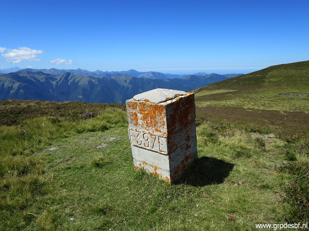 | Bm397 click photo to enlarge |
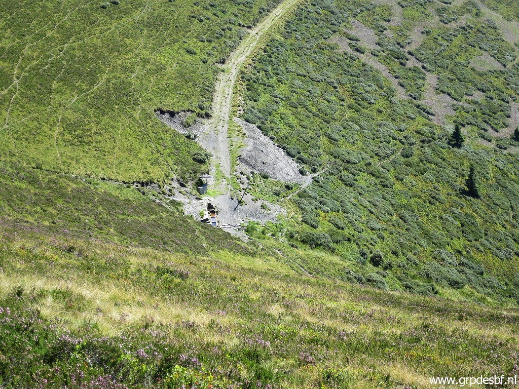
 | A bit further on, these remnants of some industrial activity. click photo to enlarge |
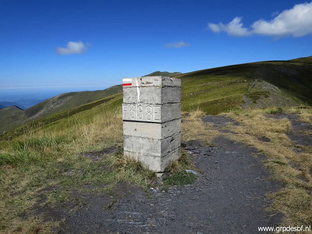 | Bm398 click photo to enlarge |
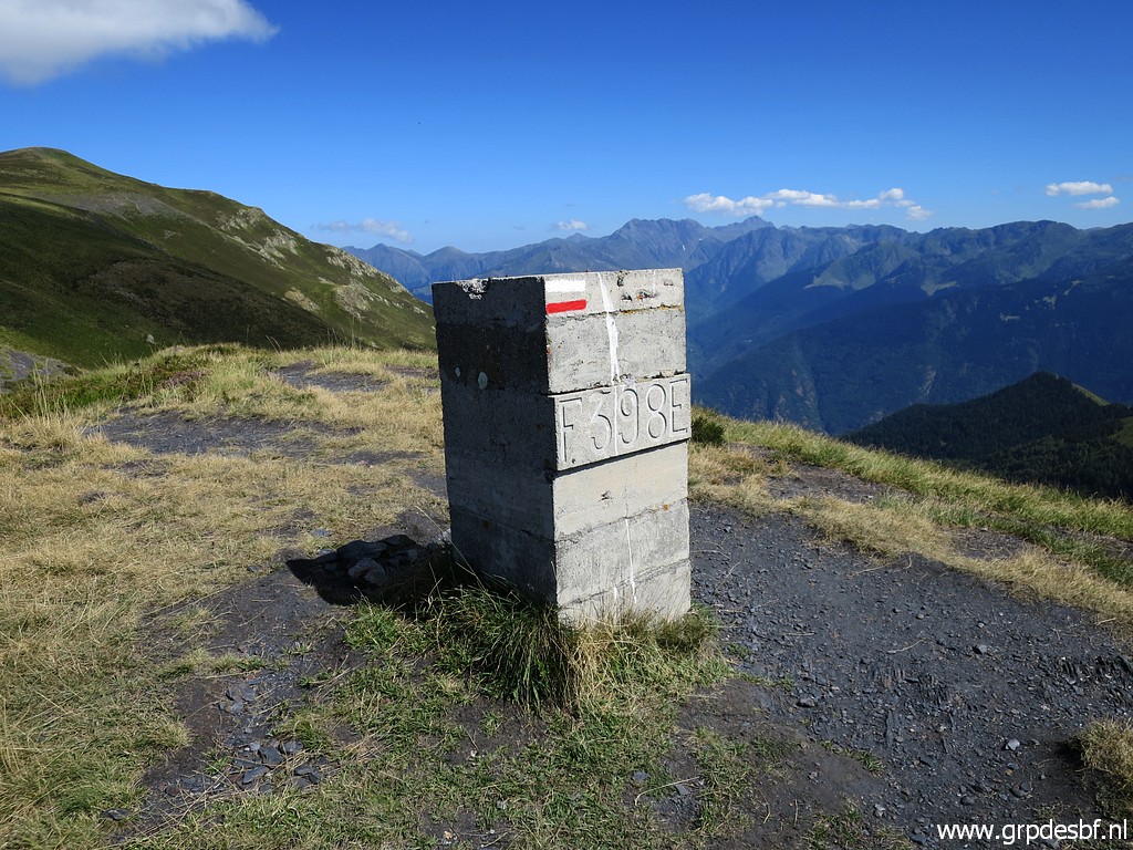 | Bm398 click photo to enlarge |
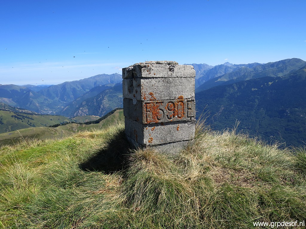
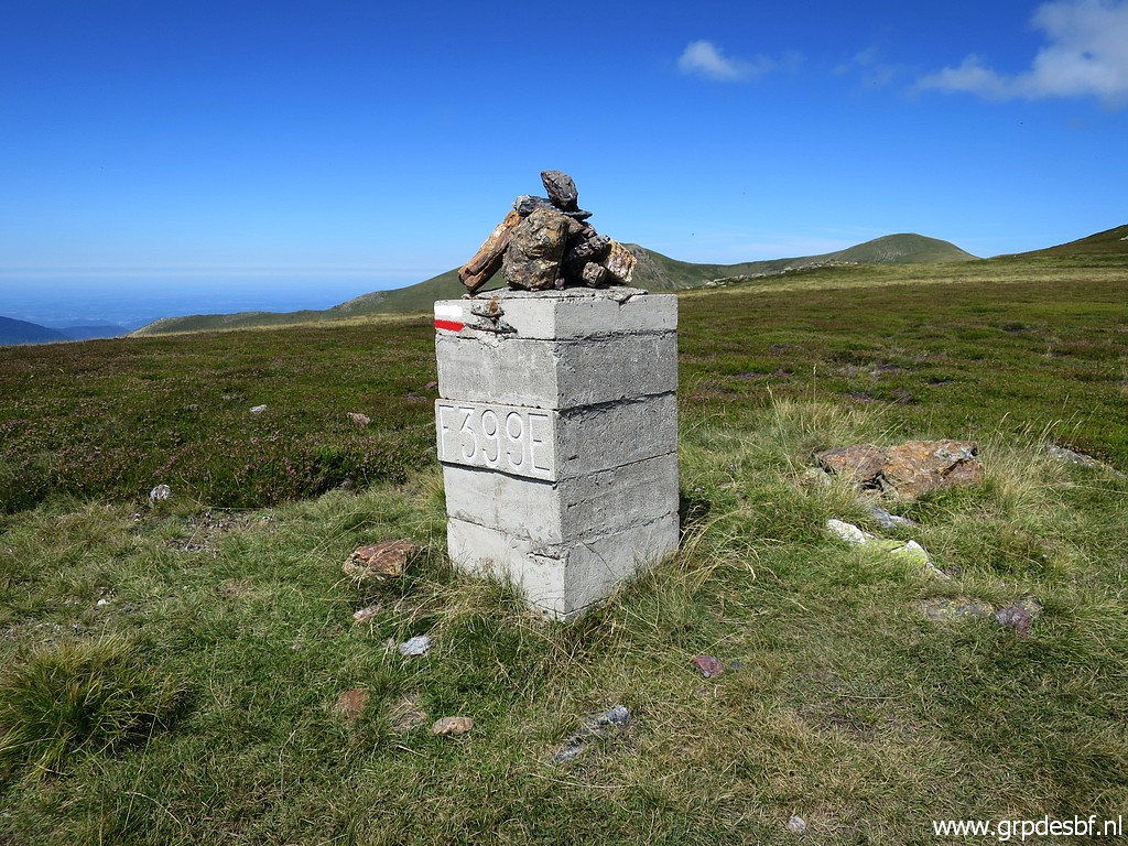 | Bm399 click photo to enlarge |
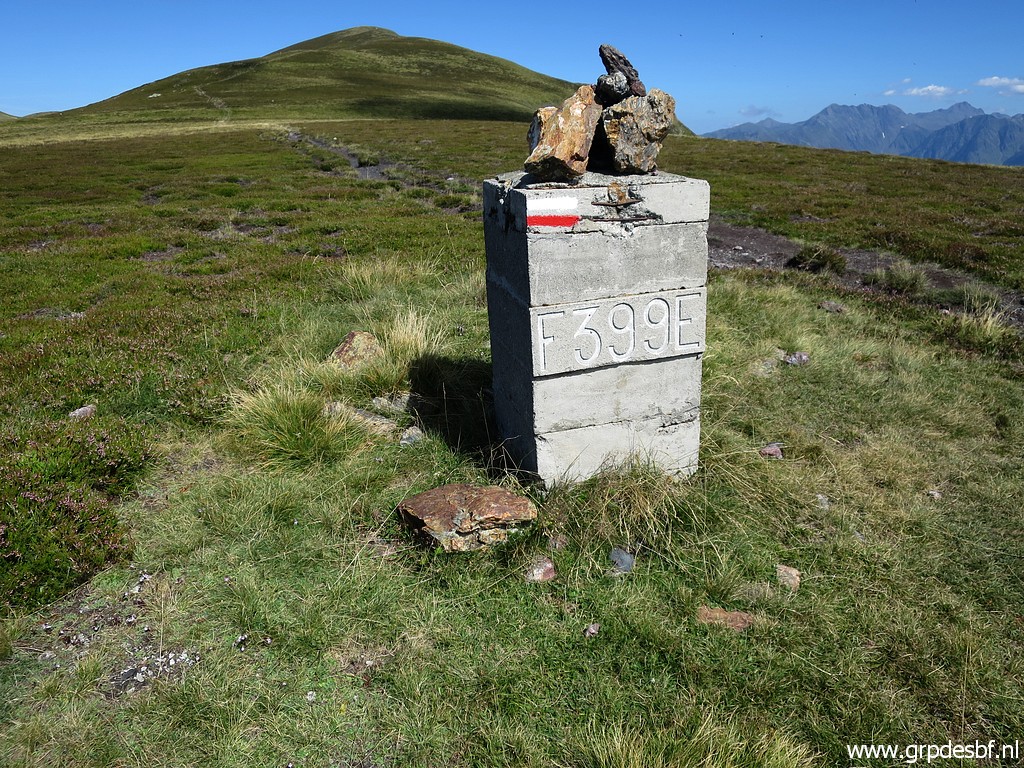 | Bm399 click photo to enlarge |
 | Bm400 click photo to enlarge |
 | Bm400 click photo to enlarge |
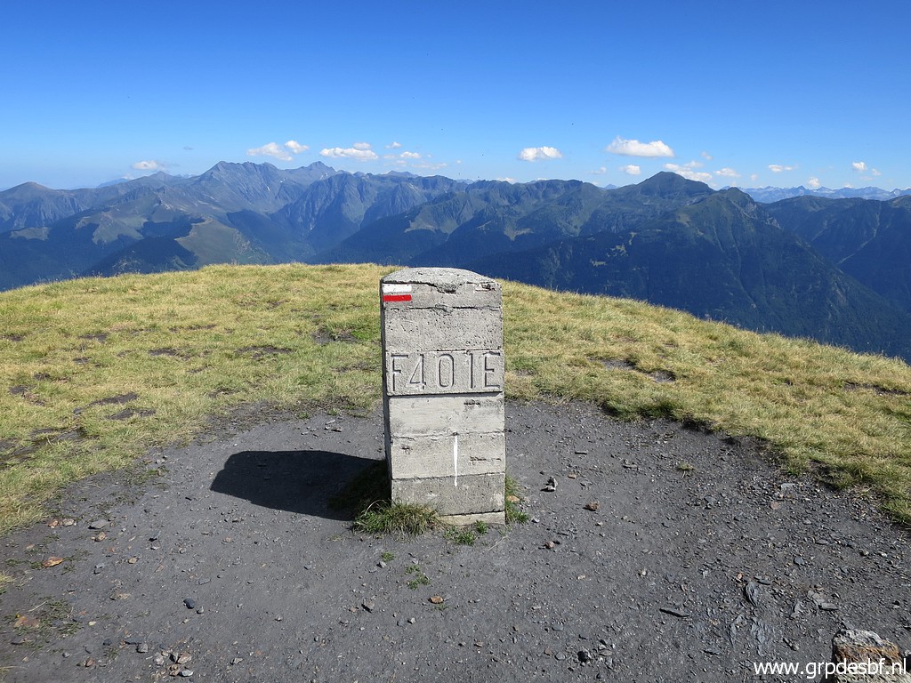 | Bm401 click photo to enlarge |
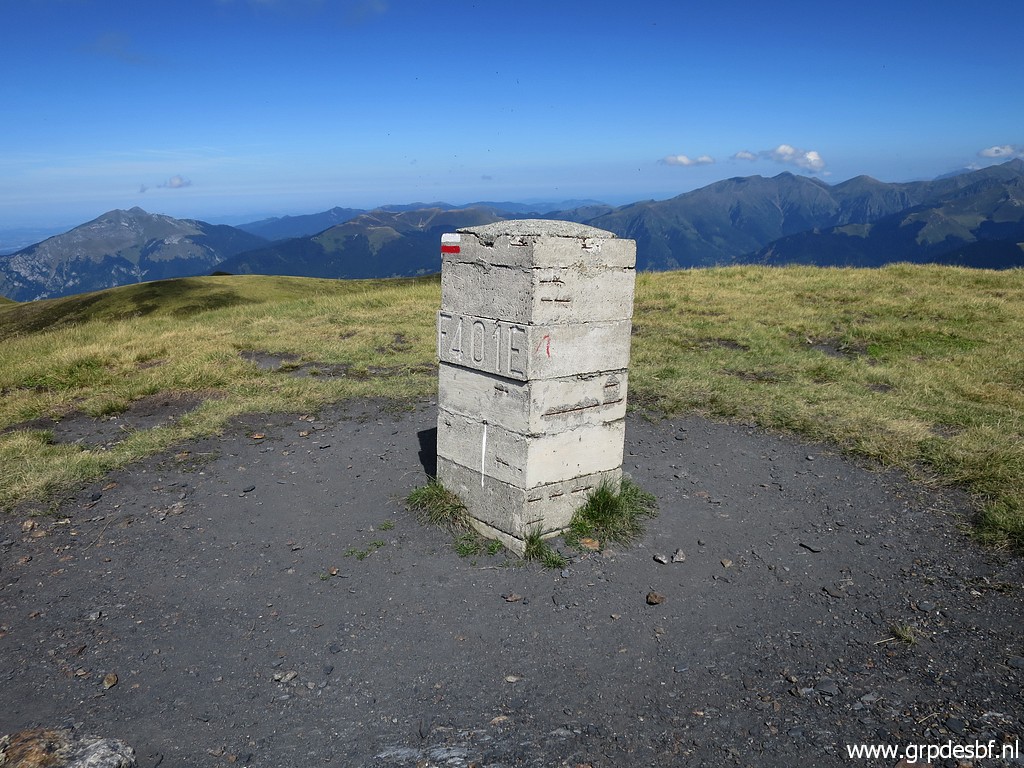 | Bm401 click photo to enlarge |
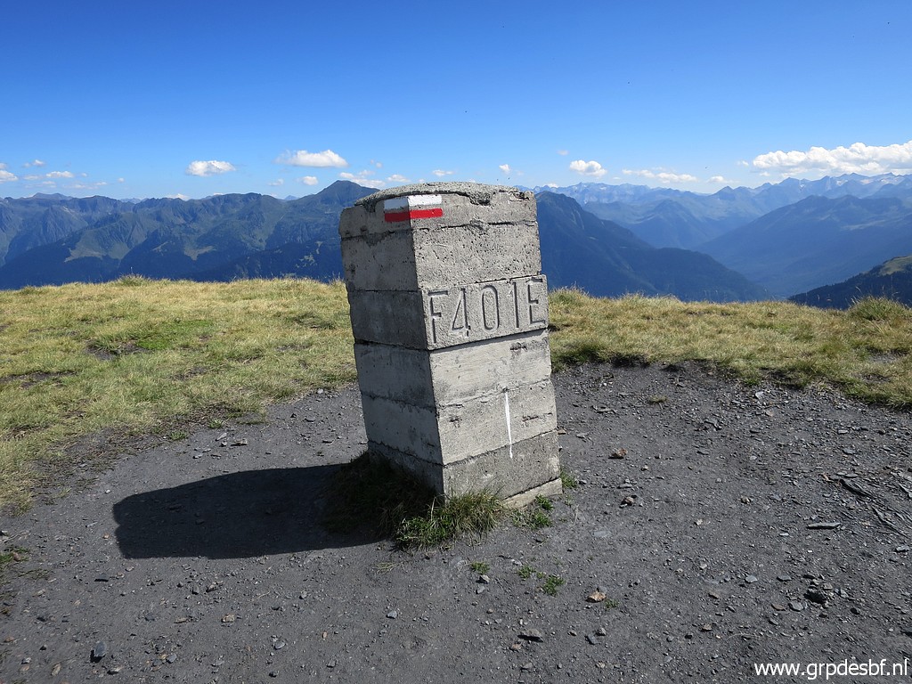 | Bm401 click photo to enlarge |
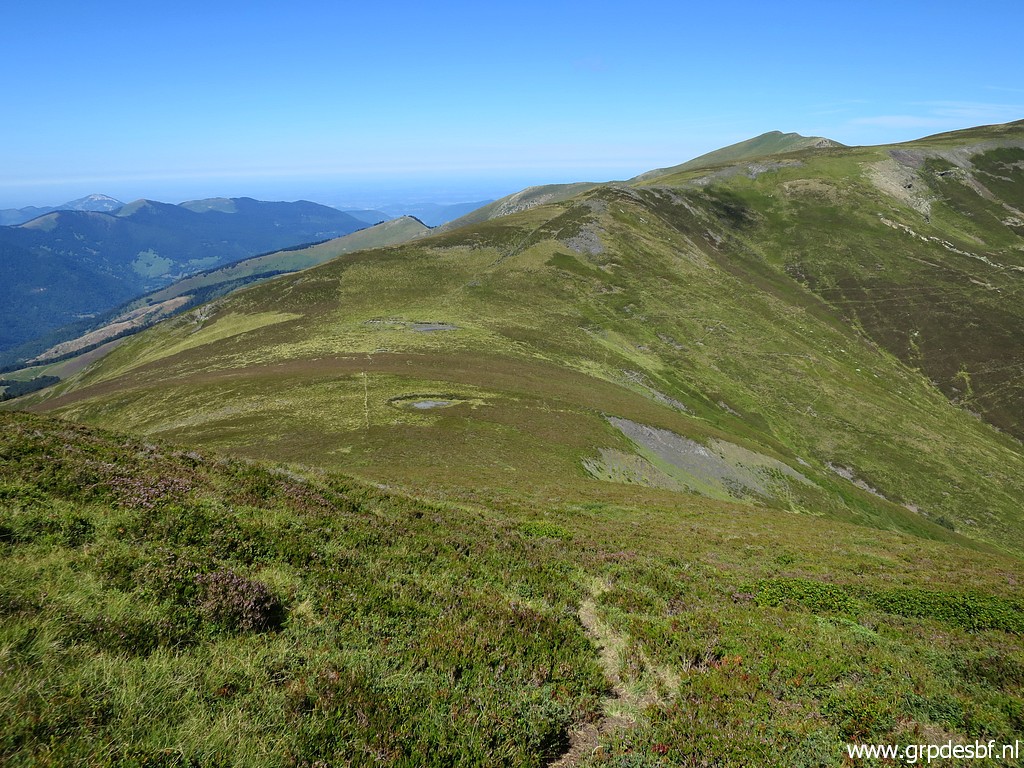
 | A view forward, I will cover the borderridge up to bm405. click photo to enlarge |
 | Bm402 click photo to enlarge |
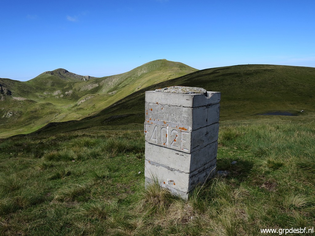 | Bm402 click photo to enlarge |
 | Bm402, looking back. click photo to enlarge |
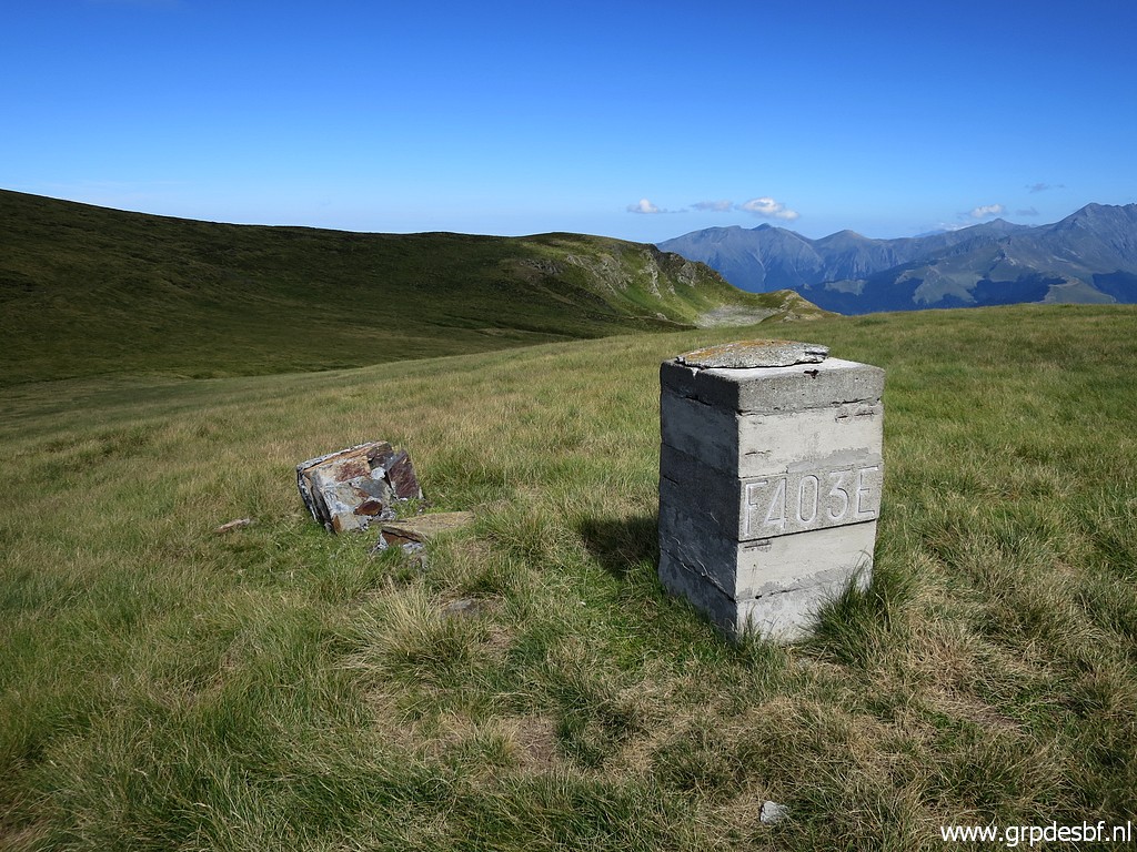 | Bm403 click photo to enlarge |
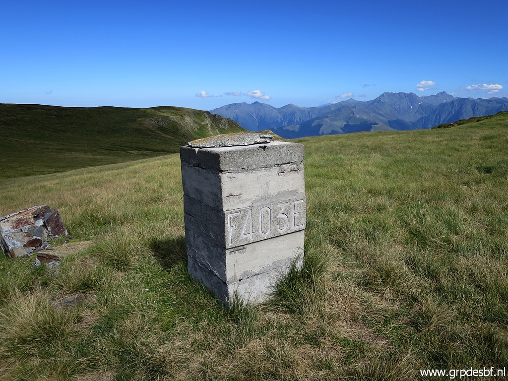 | Bm403 click photo to enlarge |
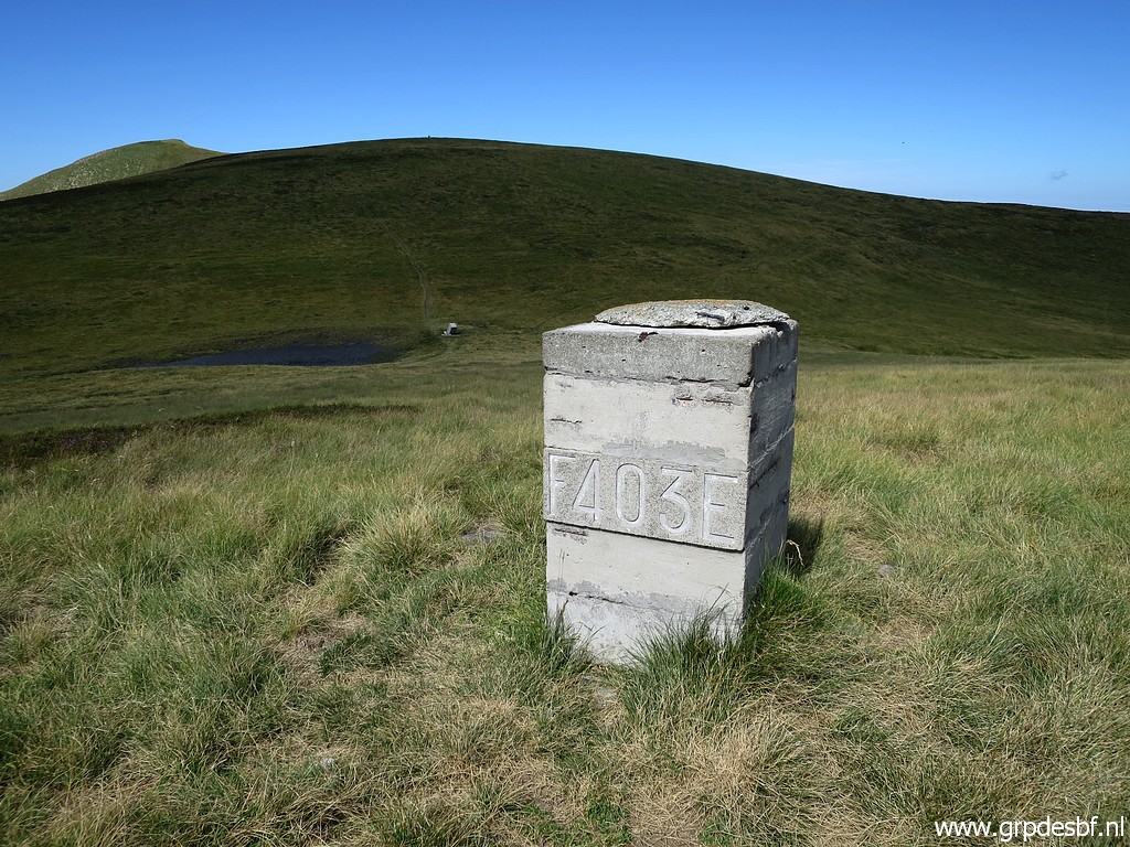 | Bm403 click photo to enlarge |
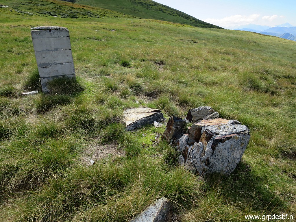 | Bm403, with the remnants of the original bm. click photo to enlarge |
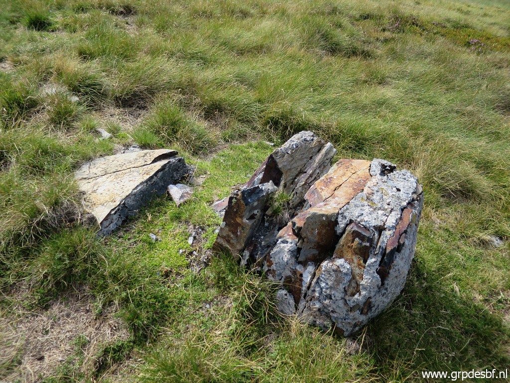 | The remnants of the original bm403. One can clearly see that it is the work of a bricklayer, using pieces of rocks found around the spot. click photo to enlarge |
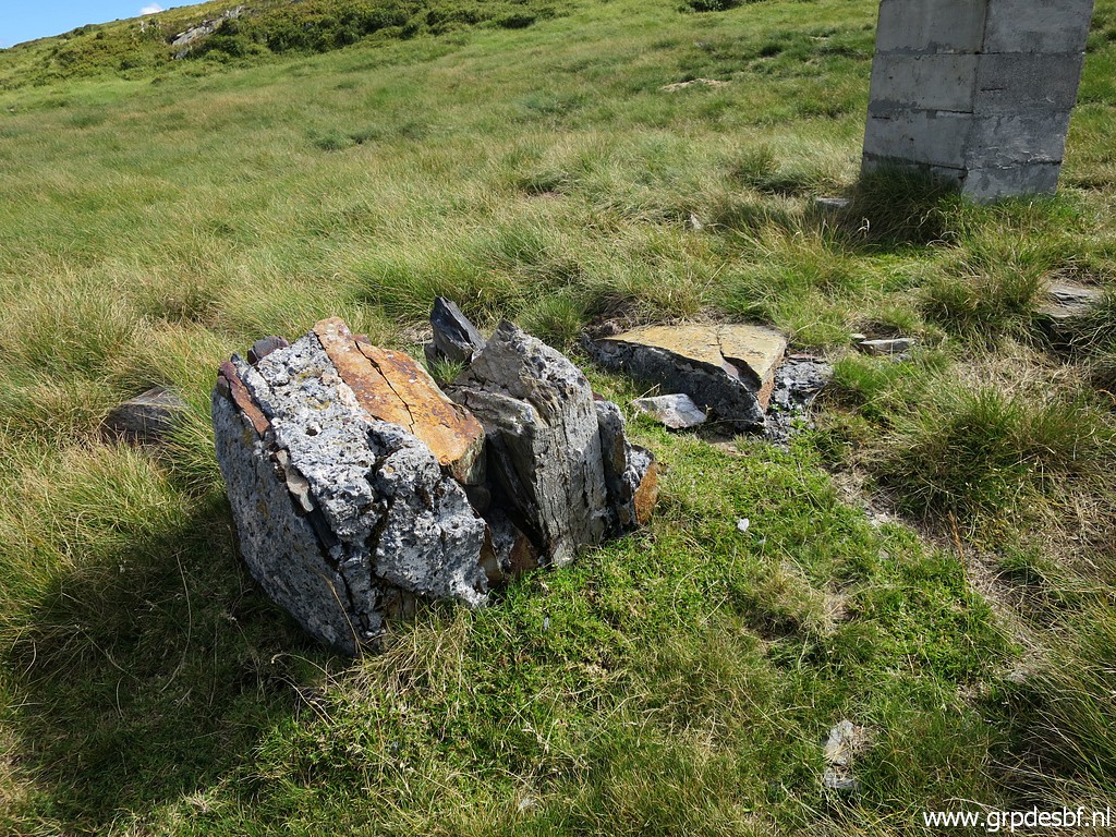 | The remnants of the original bm403 click photo to enlarge |
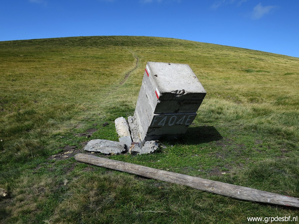 | Bm404 click photo to enlarge |
 | Bm404 click photo to enlarge |
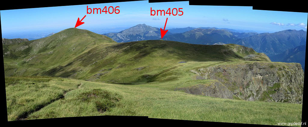
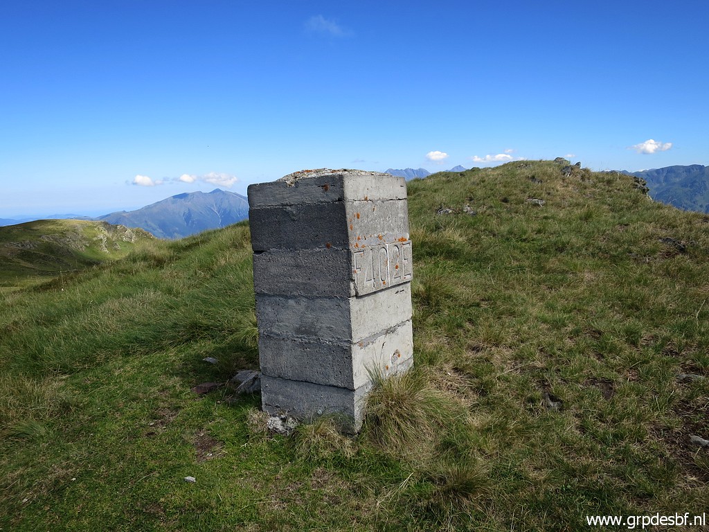
 | Bm405, the last one of today click photo to enlarge |
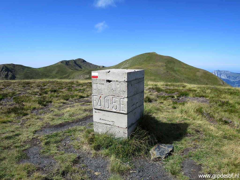 | Bm405, ahead is Pic de la Hage with bm406. click photo to enlarge |
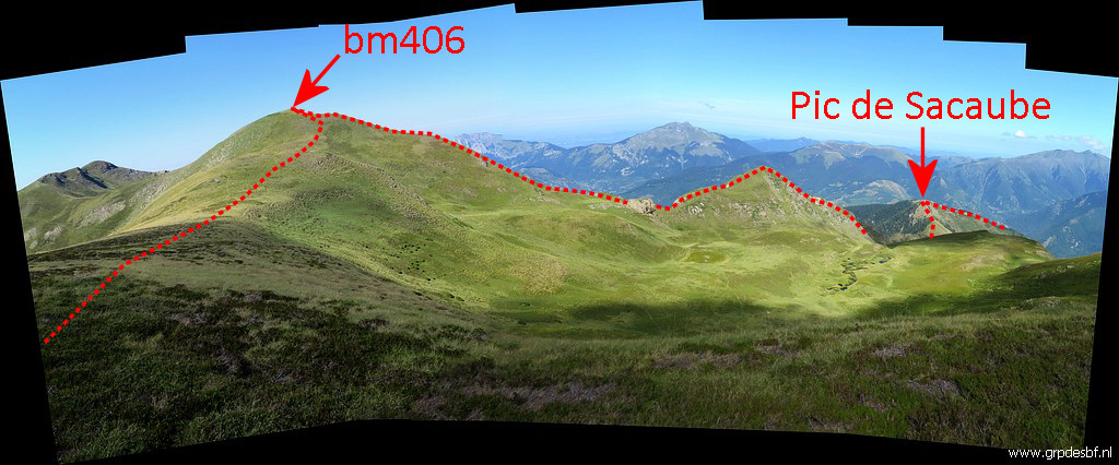 | From here, there is a fine view of the borderline further on click photo to enlarge |
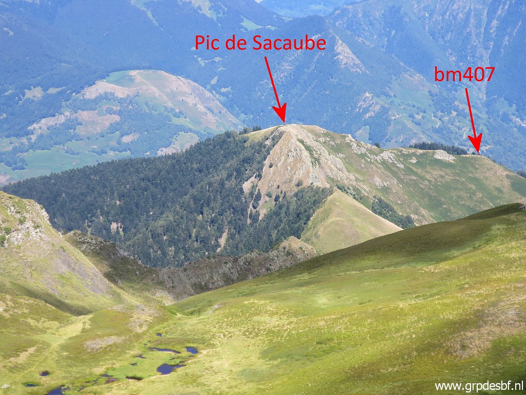 | with on this zoom-in the Pic de Sacaube which is a steep climb. click photo to enlarge |
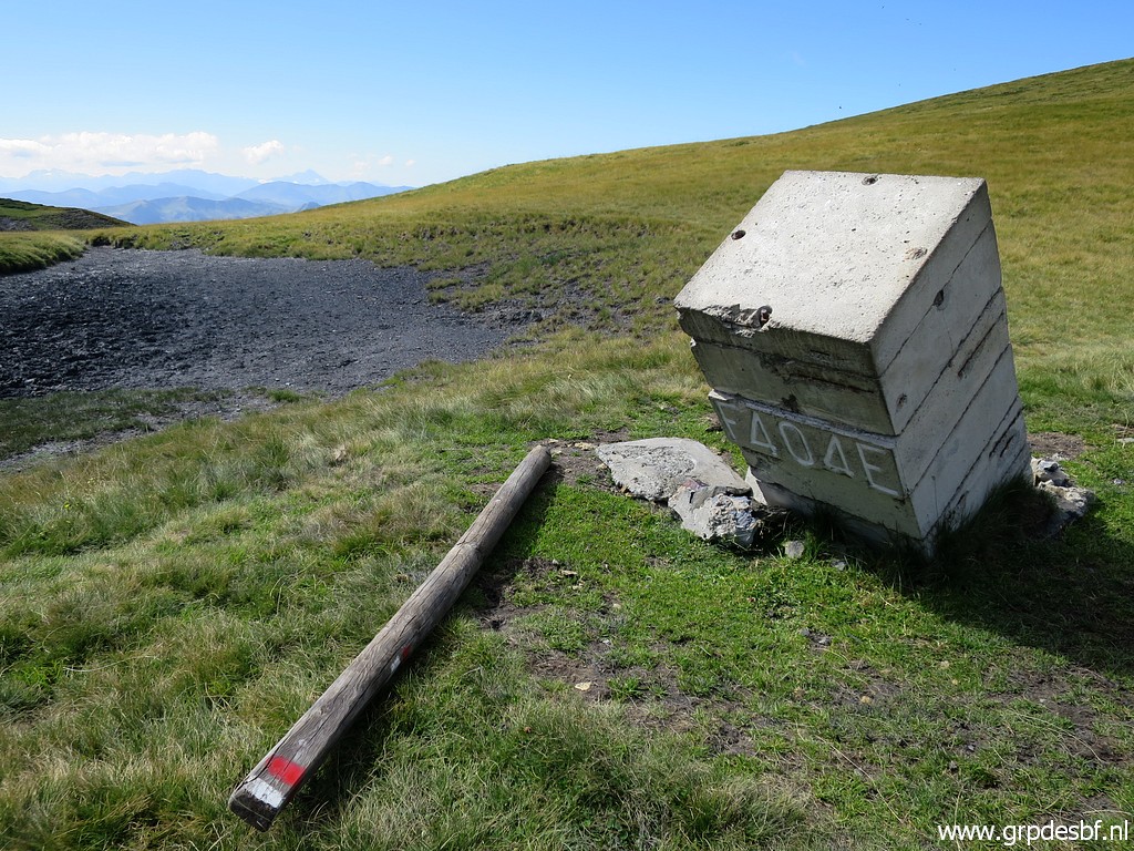
 | I return and make another picture of bm404 to show its backside and click photo to enlarge |
 | further on from bm401 click photo to enlarge |
 | to show another base of the original bm401. click photo to enlarge |
 | Back at the Col des Taons de Bacanère where I will descend and well click photo to enlarge |
 | to the dirtroad below where click photo to enlarge |
 | a source is waiting. click photo to enlarge |
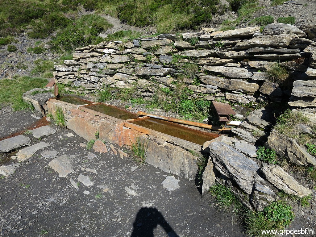 | In fact this is the only source within easy reach from the ridge between bm374 to bm408I. click photo to enlarge |
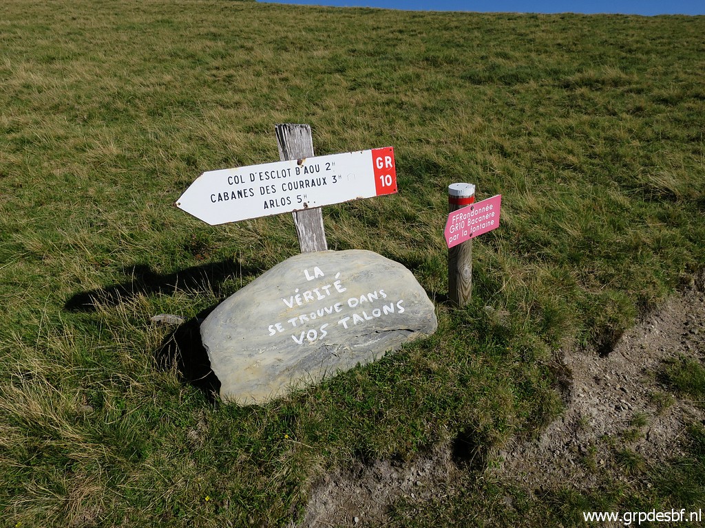 | Another 'motivational quote': "The truth is in your heels" click photo to enlarge |
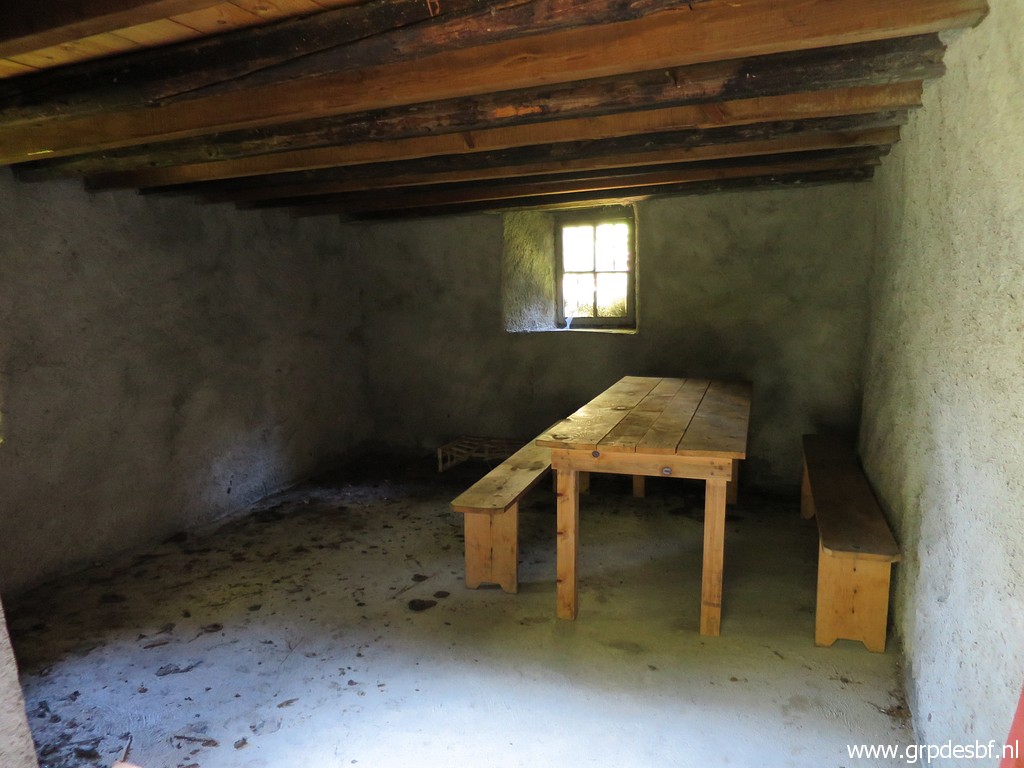
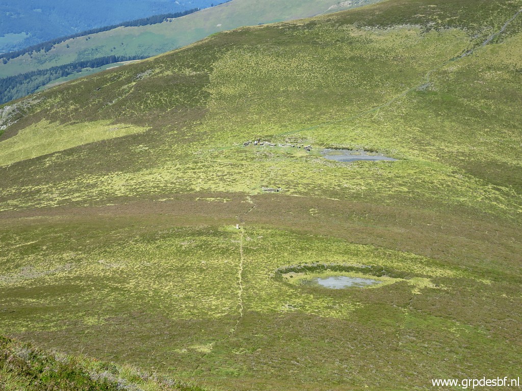
 | Cabane de Peyrehitte with a basic hiker's cabin besides the shepherd's cabane. No water available, you have to collect it at the source mentioned above, 600m away. click photo to enlarge |
 | The rest of my trip is a pleasant but long descent along dirtroads along summer pastures to click photo to enlarge |
 | Artigue. click photo to enlarge |