|
The
bordermarkers of the Pyrenees : all my trips
 |
|
| -
wednesday 28 august
2019 - Redoing bm567 to 577 |
 |
 |
Summary:
part of a series of 11 trips in august-september 2019 in the
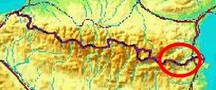
Pyrénées-Orientales, Andorra and the Hautes-Pyrénées. This is trip 4. Today: a survey in and around le Perthus. The main objective is to investigate the acesss to bm573. I got disturbing messages of Carlos and Conchita Roca that it has become inaccessible because of the dense bush. My basecamp is the camping in St-Laurent-de-Cerdans. Weather: sunny and very hot |
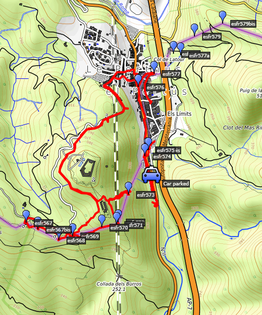
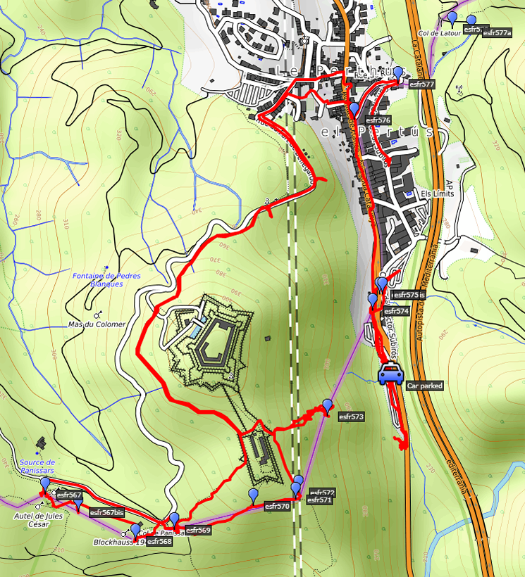 track-20190828.kml
(click to open this trip in Google Earth or copy link to Google Maps; click right on this link to download gpx-version). The gps-track has not been manually corrected which explains the inaccuracy and misalignment at some points. For cartographic backgrounds: see the cartography-page Gps-waypoints of all bordermarkers (most recent version): kml: esfr-bordermarkers-all-waypoints.kml gpx: esfr-bordermarkers-all-waypoints.gpx |
|
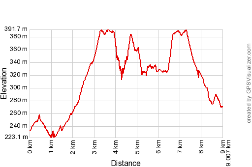 |
According to Garmin
Basecamp (uncorrected track): Distance: 9,0 km Max-height: 393m Min-height: 229m Elevation: +414m -380m Total elevation: 794m Start 9:29 Finish 14:31 Total time: 5:03 |
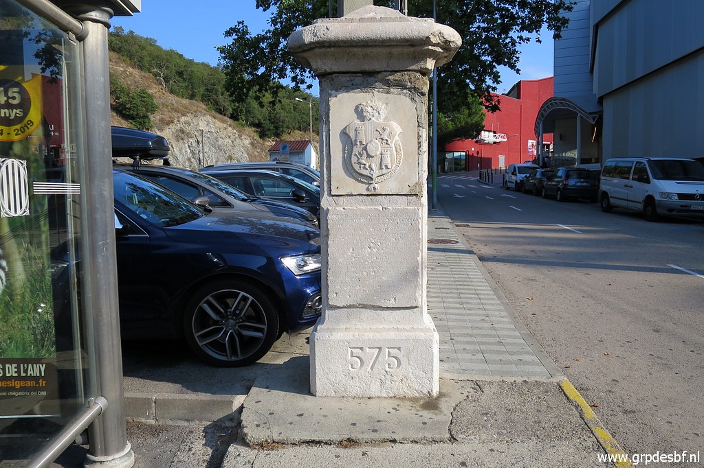
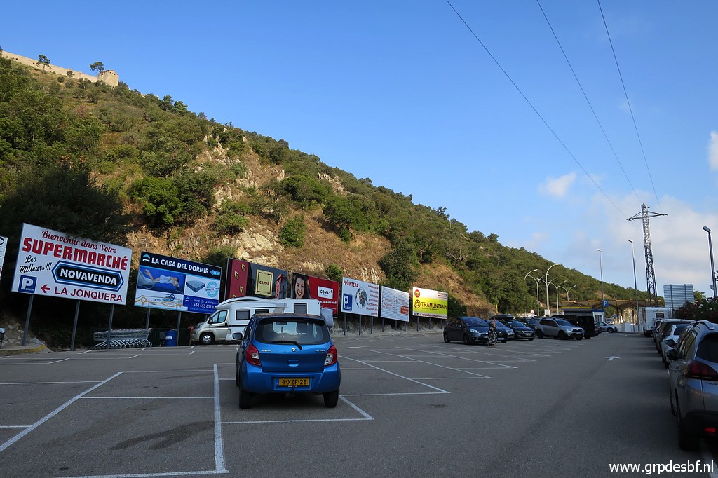 | My car parked at a huge parking lot at the south side of Le Perthuis. High up the hill: Fort de Bellegarde. (click photo to enlarge) |
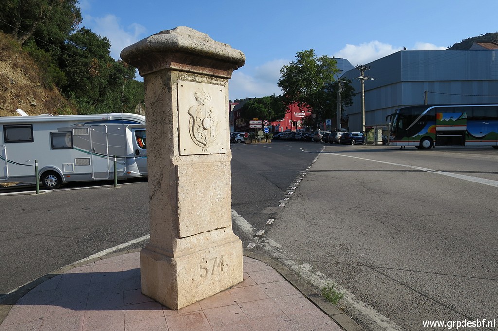 | I first cover bm574 to 575. (click photo to enlarge) |
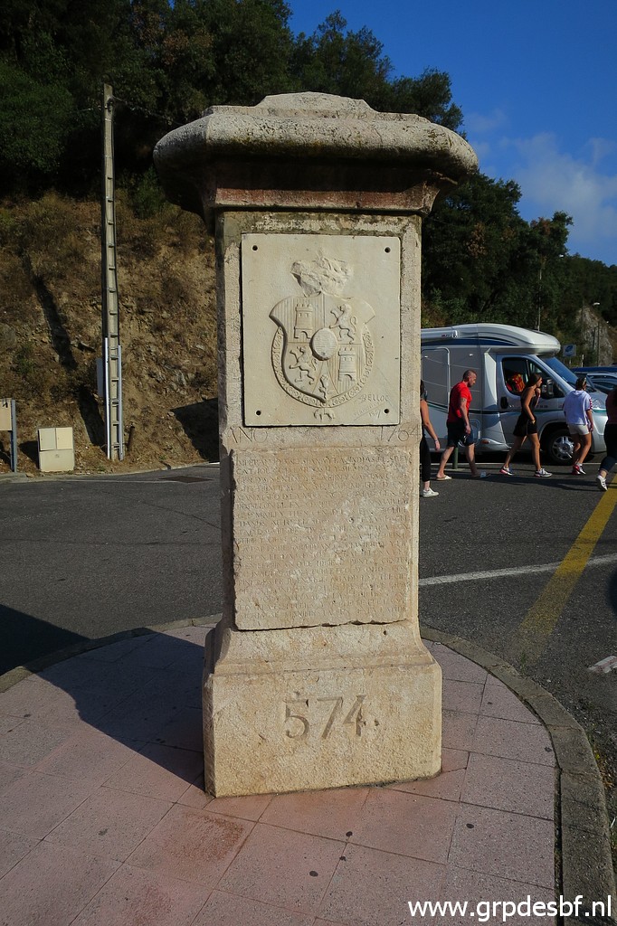 | Bm574 (click photo to enlarge) |
 | Bm574 (click photo to enlarge) |
 | Bm574 (click photo to enlarge) |
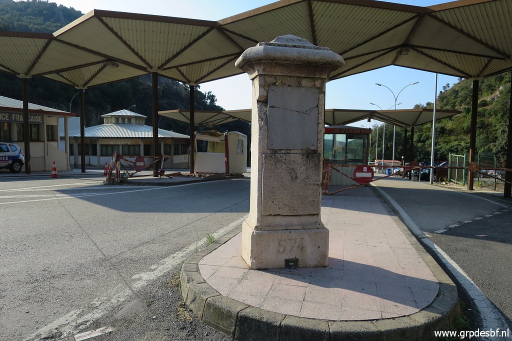 | Bm574 (click photo to enlarge) |
 | Bm574 (click photo to enlarge) |
 | Bm574 (click photo to enlarge) |
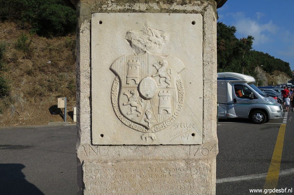
 | Bm574, geodetic point at his foot. (click photo to enlarge) |
 | Now I am at the spot of bm574bis. At the end of the dotted line is bm574. Bm574 used to stand at this spot in the old days but was replaced to its actual position when the access to Le Perthus was enlarged. (click photo to enlarge) |
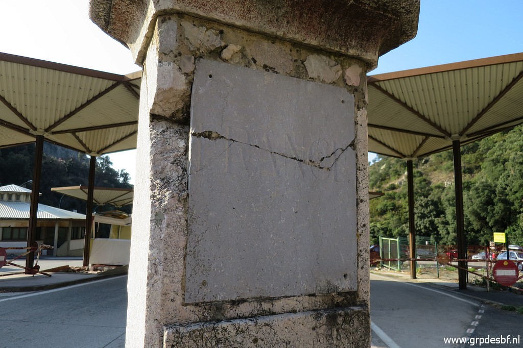
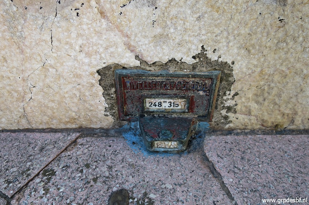
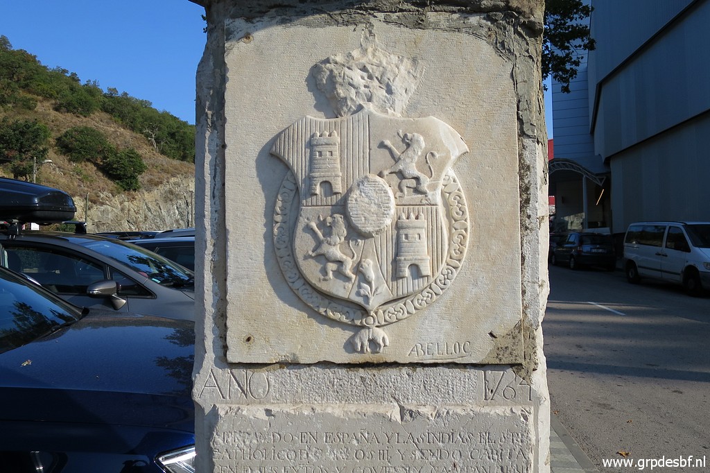
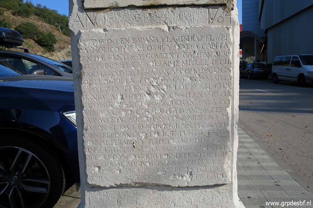
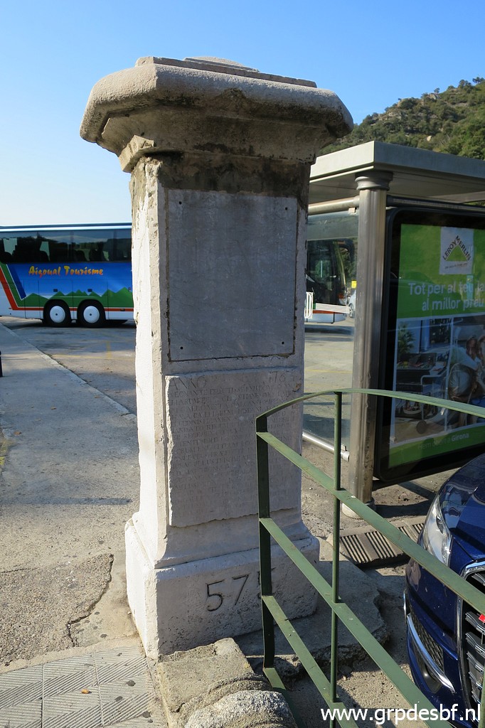
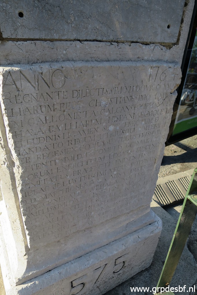
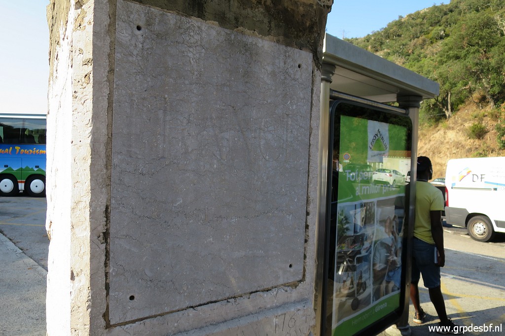
 | At this spot, there was a metal plate with "574" on it. (click photo to enlarge) But it has disappeared in recent years. Carlos and Conchita Roca notified me about it. My last picture dates of 12-09-2012: 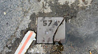 |
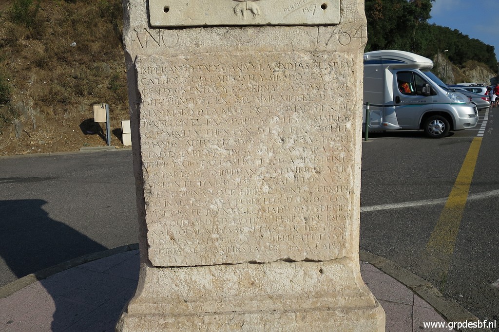
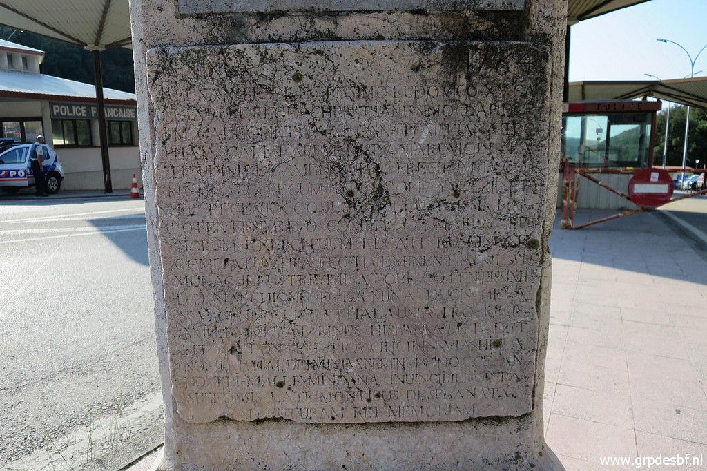
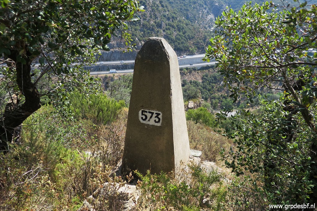
 | Bm573 (click photo to enlarge) |
 | Bm573 (click photo to enlarge) |
 | Bm573 (click photo to enlarge) |
 | Bm573 (click photo to enlarge) |
 | Bm573 (click photo to enlarge) |
 | Bm573 (click photo to enlarge) |
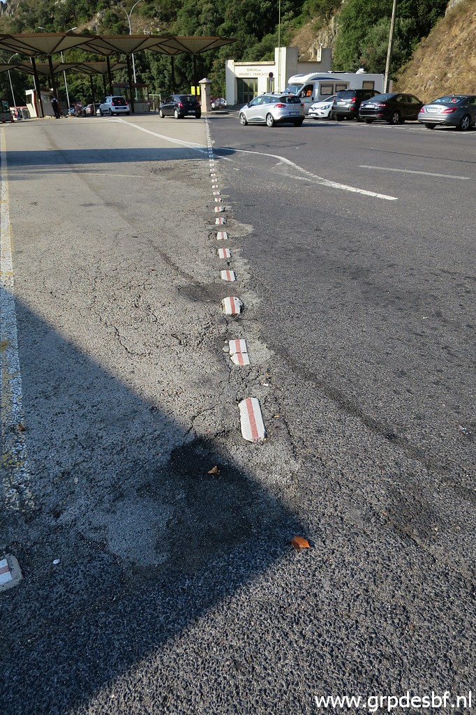
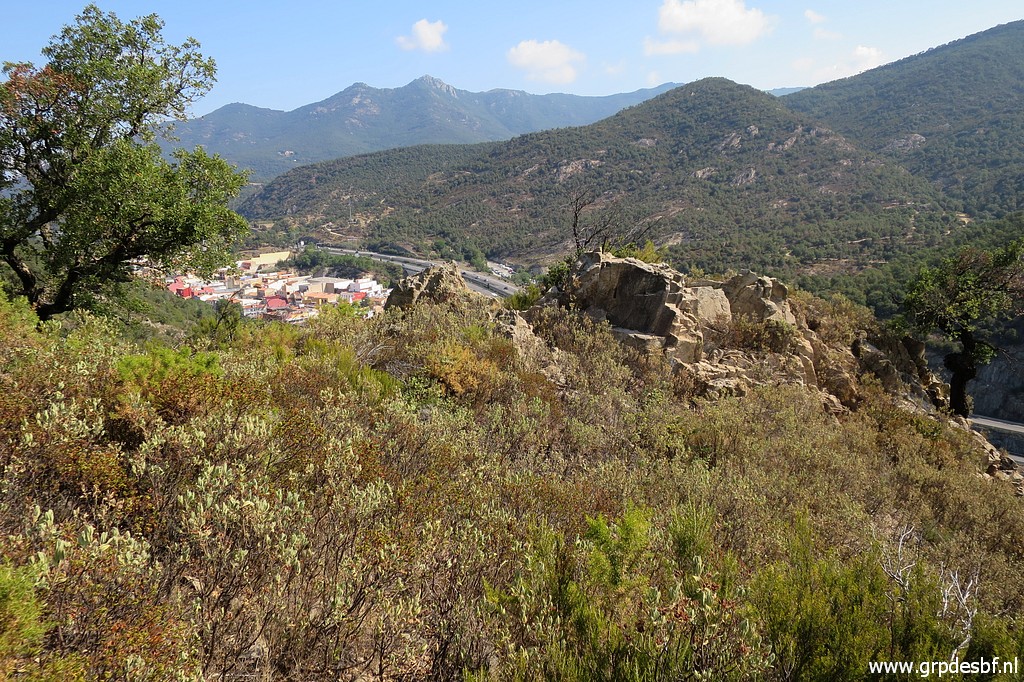
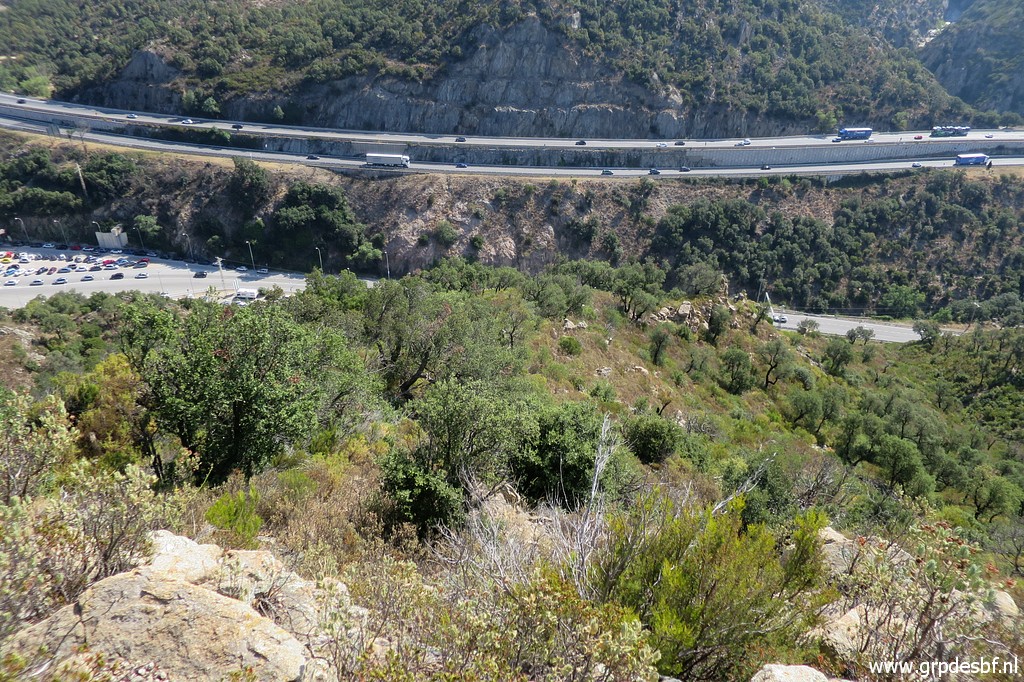
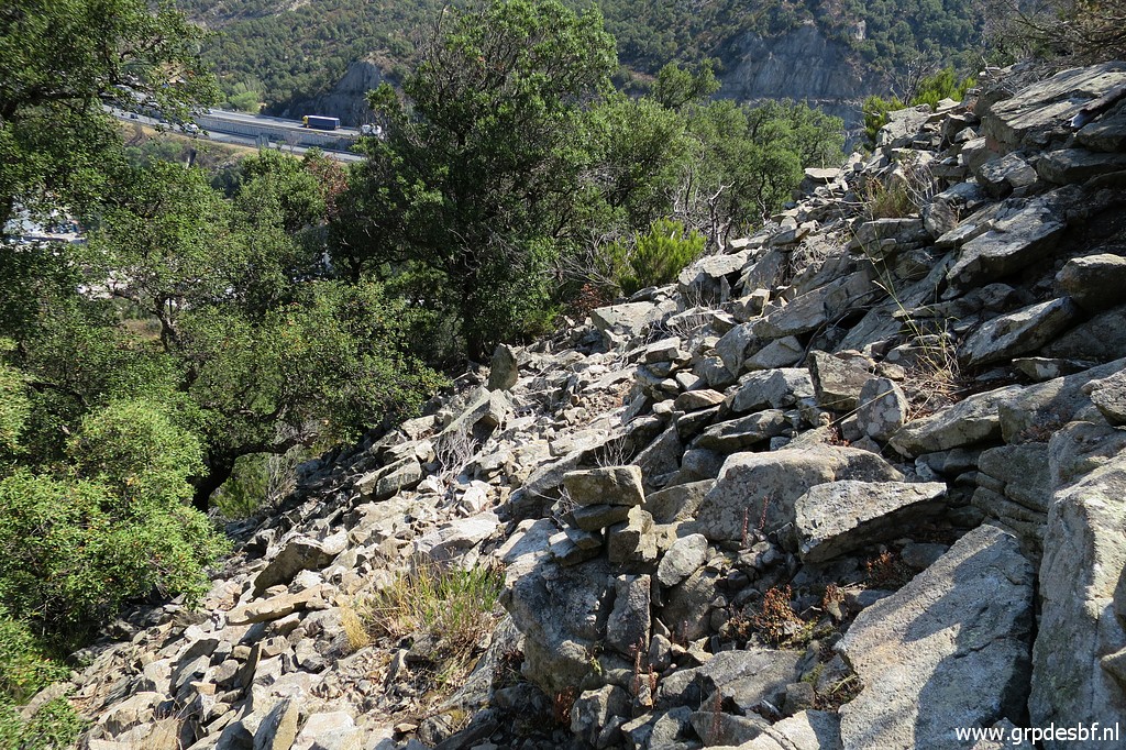
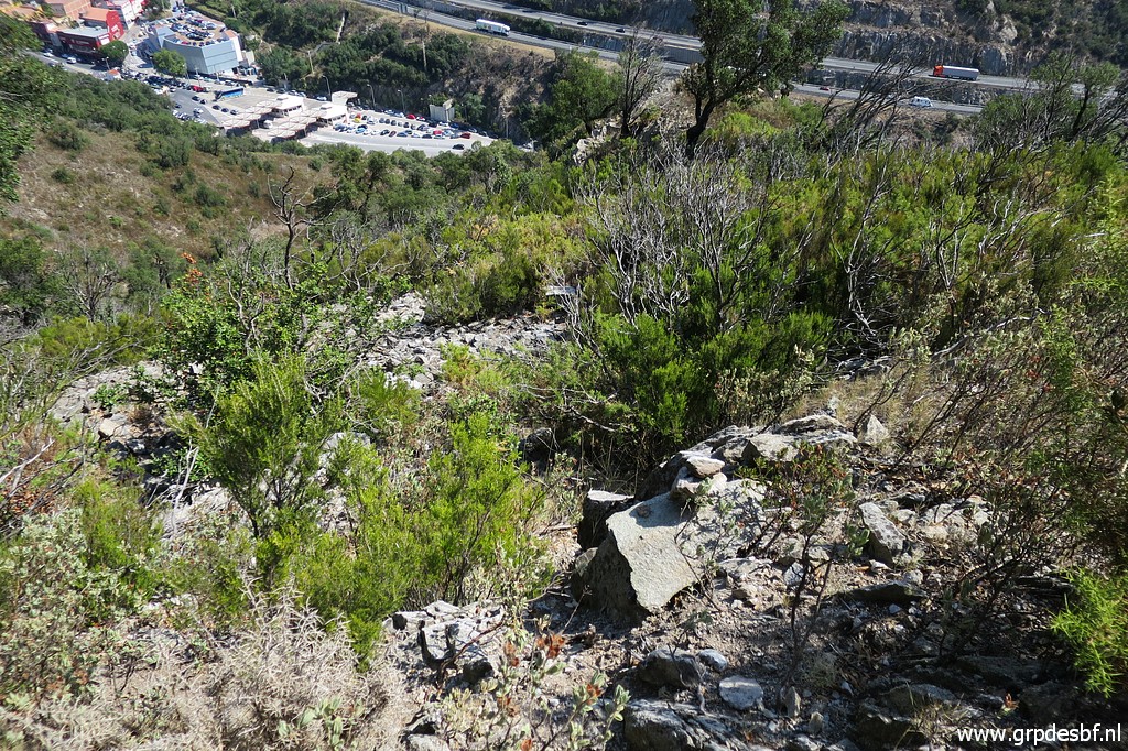
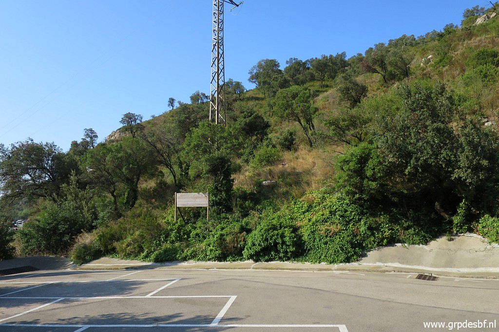 | Then I return to the parking lot to see if I can climb from there to bm573. On 12-9-2012 I could easily descend from bm573 to this parking lot (its most southern point). It was easy because a large fire had burnt the trees and undergrowth. But 8 years later, the 'maquis' has returned. It seems even more because there are less trees than before the fire. (click photo to enlarge) |
 | I can spot bm573 from below (click photo to enlarge) |
 | Zoom-in of previous picture. (click photo to enlarge) |
 | Bm573 I try to climb the hillside but I soon give up. De bush is too pricky and too dense. I'll give it another try from above. I think I have to change my GRPdesBF-route. The (variant-)route from bm573 downhill to the parking lot has become too difficult because of the maquis. (click photo to enlarge) |
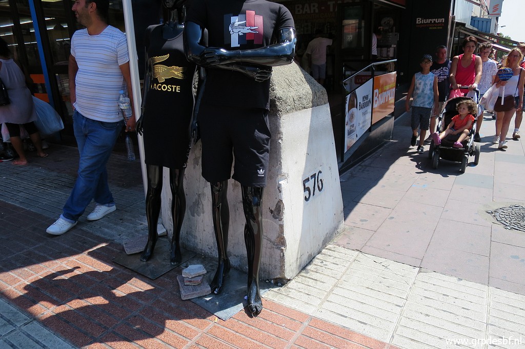
 | So I walk through Le Perthus (very crowded today) past bm576 and (click photo to enlarge) |
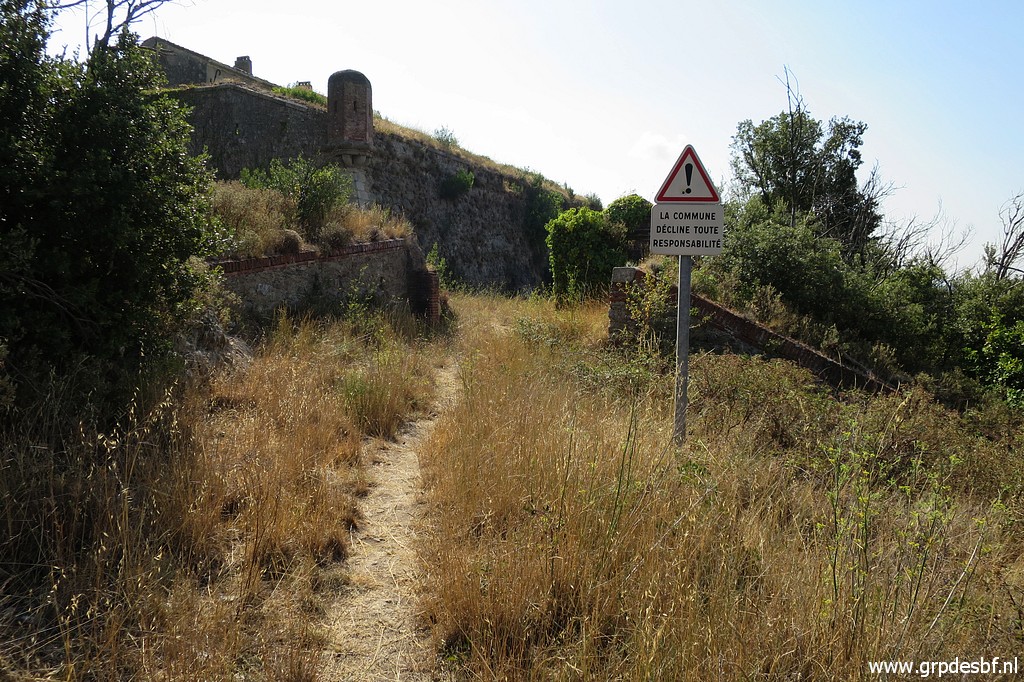
 | take the road uphill to Fort de Bellegarde. I discover a new trail, (click photo to enlarge) |
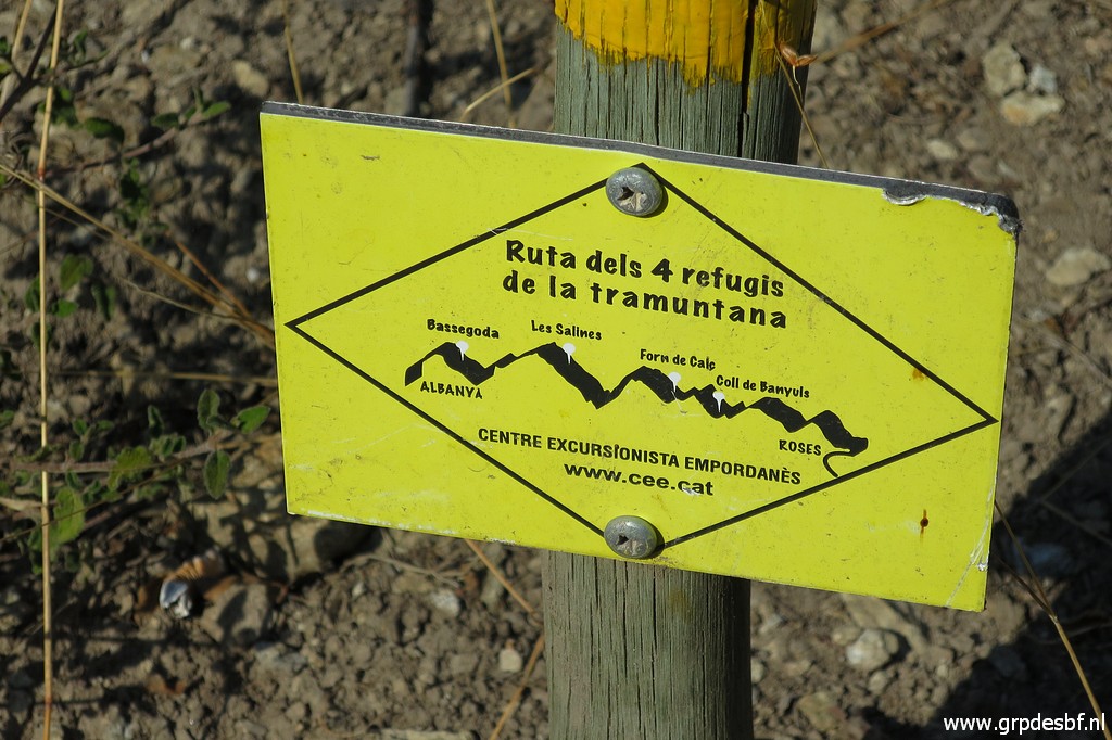 | part of a multi-day hiking route, (click photo to enlarge) |
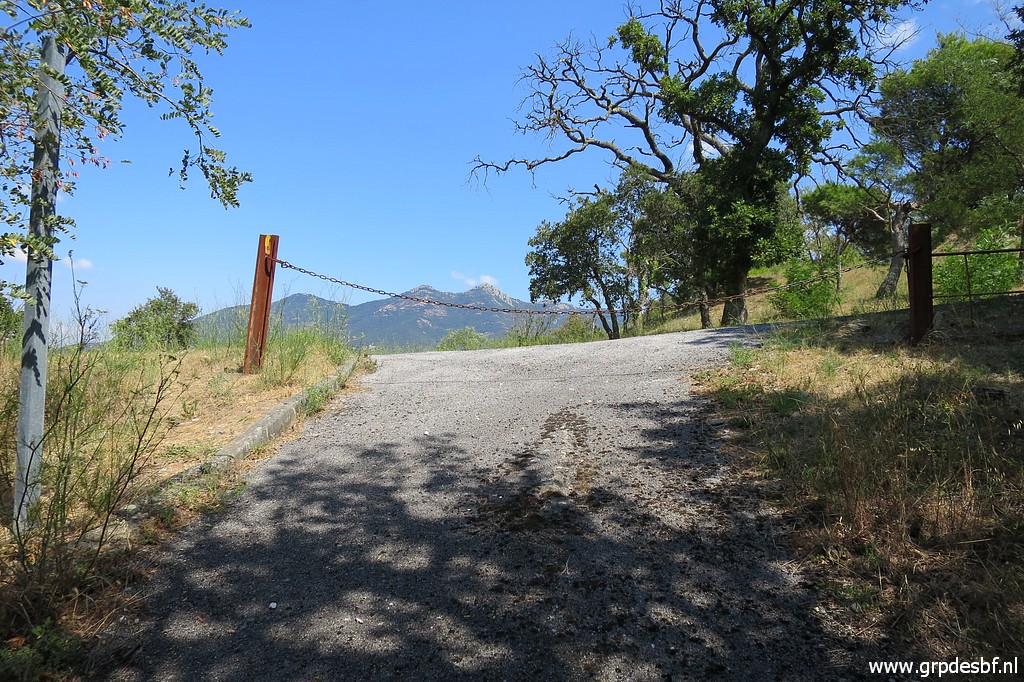
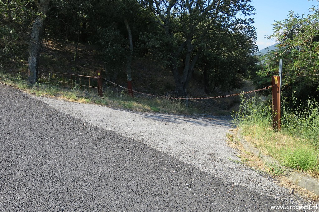 | which brings me nicely as a shortcut to the entrance of Fort de Bellegarde. At the other side of the entrance road I continue on the dirtroad/trail past this chain. (click photo to enlarge) |
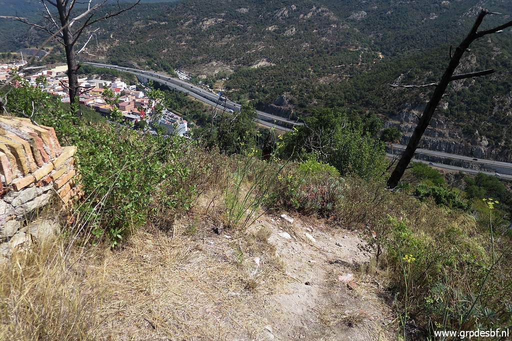
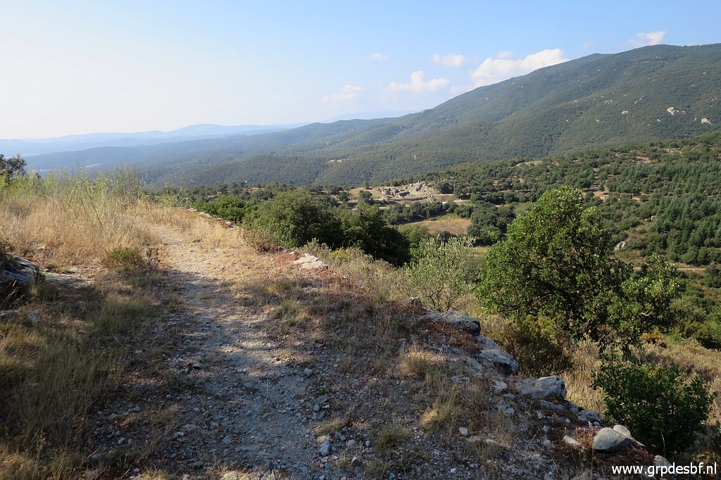 | The trail goes underneath the western ramparts of the Fort and offers (click photo to enlarge) |
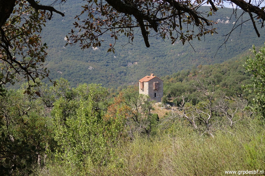
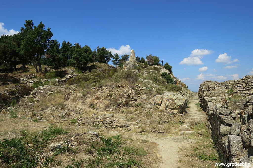
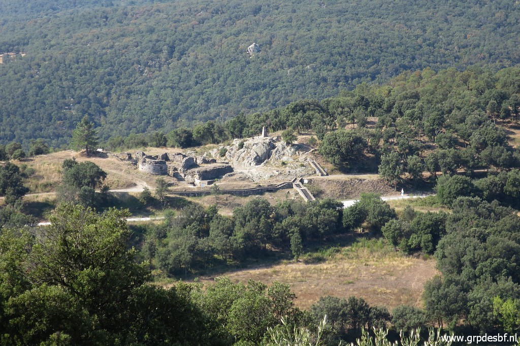 | a nice view of the archeological site of Panissar with (click photo to enlarge) |
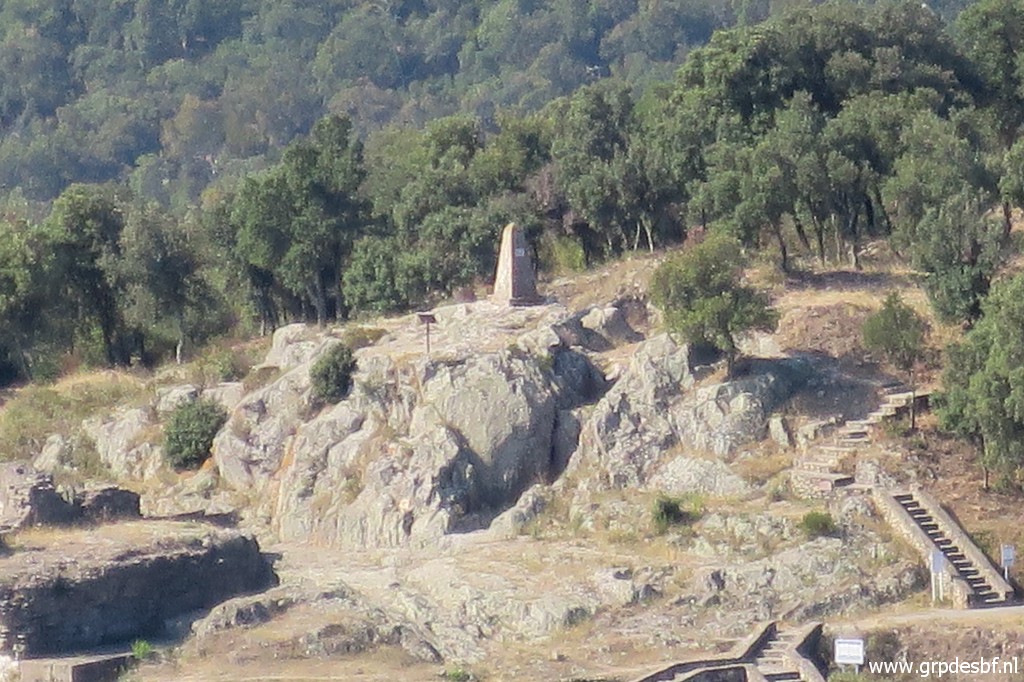 | bm567. (click photo to enlarge) |
 | The trail brings me to (click photo to enlarge) |
 | the ramparts which (click photo to enlarge) |
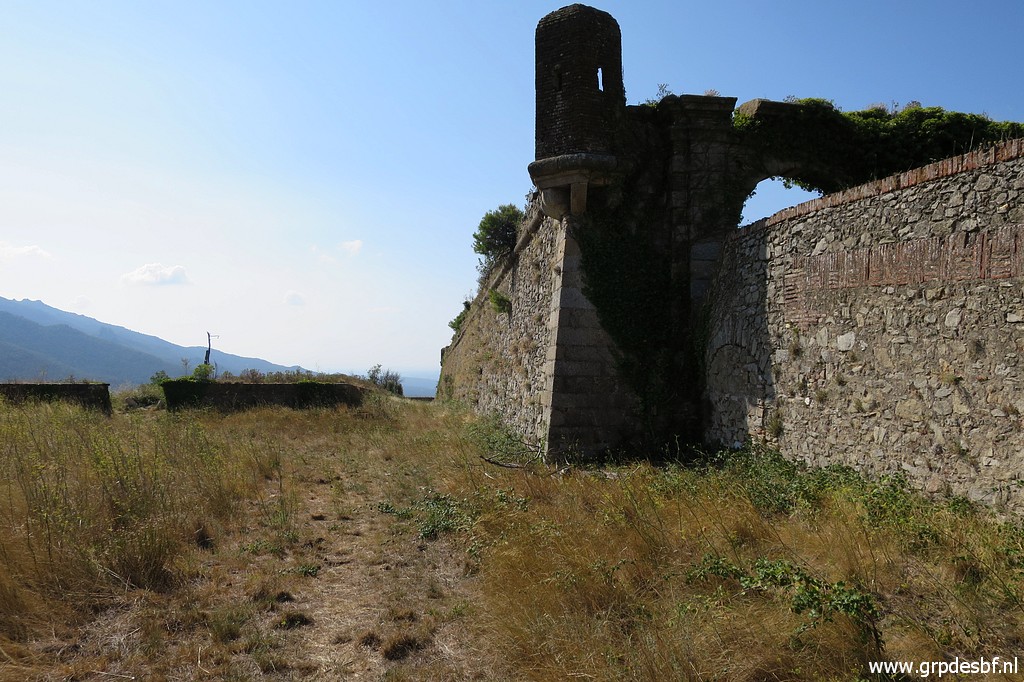 | you can cross to get to the E-side. (click photo to enlarge) |
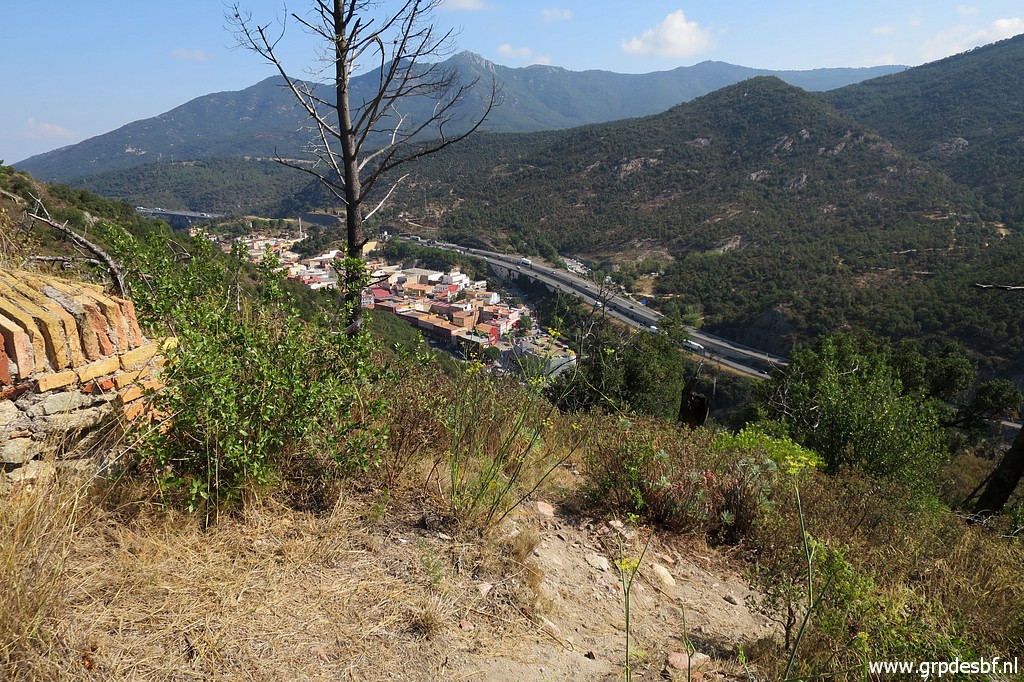 | That is here. And this is where I descend in the direction of bm573, using my gps. (click photo to enlarge) |
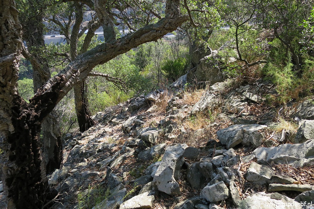
 | Through the bush, there is a vague trail. Further on, there are some rocks and beyond that I arrive at a rocky outcrop. (click photo to enlarge) |
 | From that rocky outcrop I can spot (click photo to enlarge) |
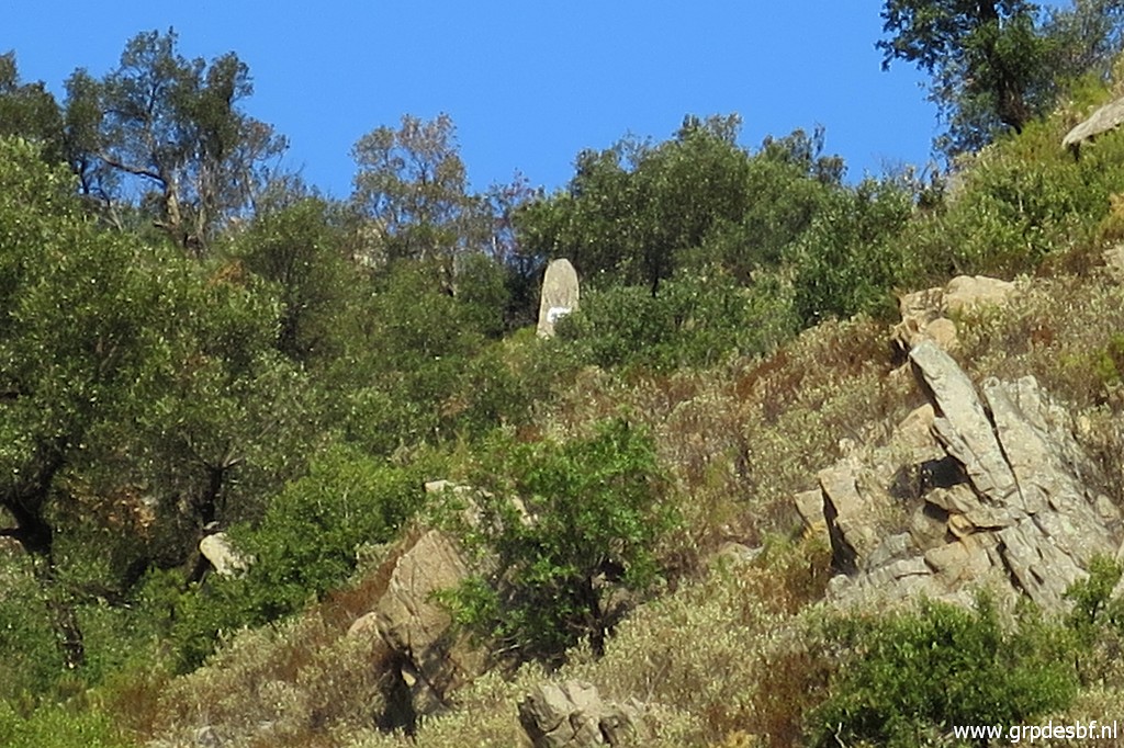
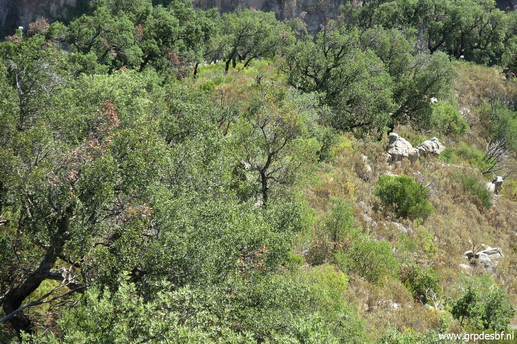 | the top of bm573. (click photo to enlarge) |
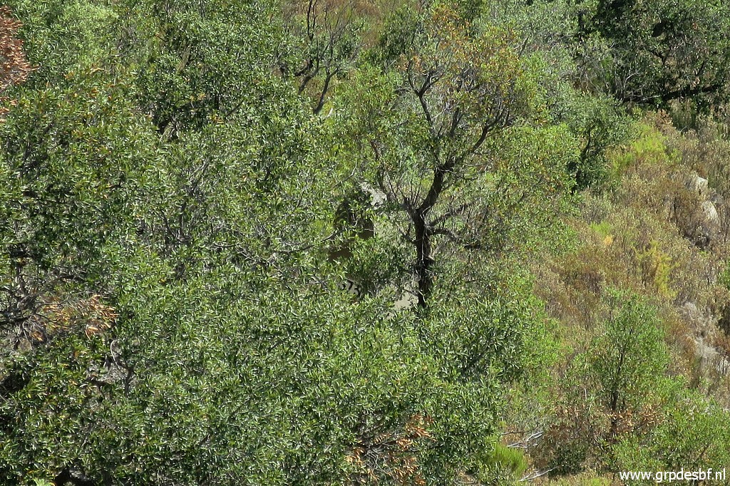 | Zoom-in to bm573 But how to get there? From the rocky outcrop, it's too steep. The secret is to descend ± 40m before that outcrop at the N-side of the ridge. (click photo to enlarge) |
 | That
side of the ridge consists of several rockfalls. A sort of trail with
cairns brings me left underneath the rocky outcrop downhill. (click photo to enlarge) |
 | But somewhere I loose the 'trail' and get too low. With my gps I get back on the track towards bm573. This picture: the last part of the access to bm573. (click photo to enlarge) |
 | And then there is bm573. (click photo to enlarge) |
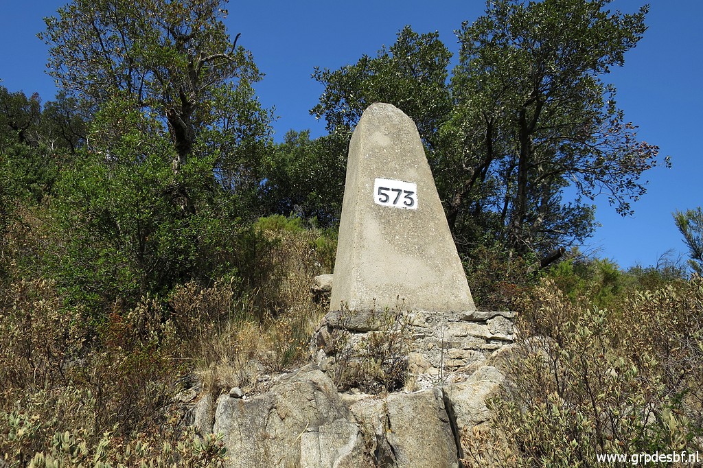 | Bm573 (click photo to enlarge) |
 | Returning is easier, the route/trail being more obvious. I make some extra cairns. (click photo to enlarge) |
 | And now back at the path from where I started. (click photo to enlarge) |
 | The bend of the trail: three ways to go. I continue to bm572 in order to cover all bordermarkers around Le Perthus. Why not? (click photo to enlarge) |
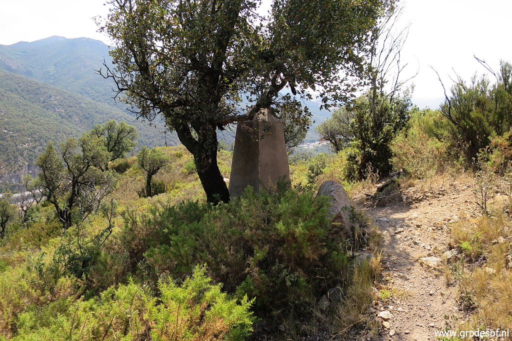 | Bm572 (click photo to enlarge) |
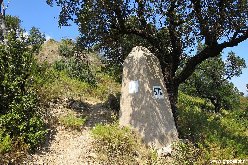 | Bm572 (click photo to enlarge) |
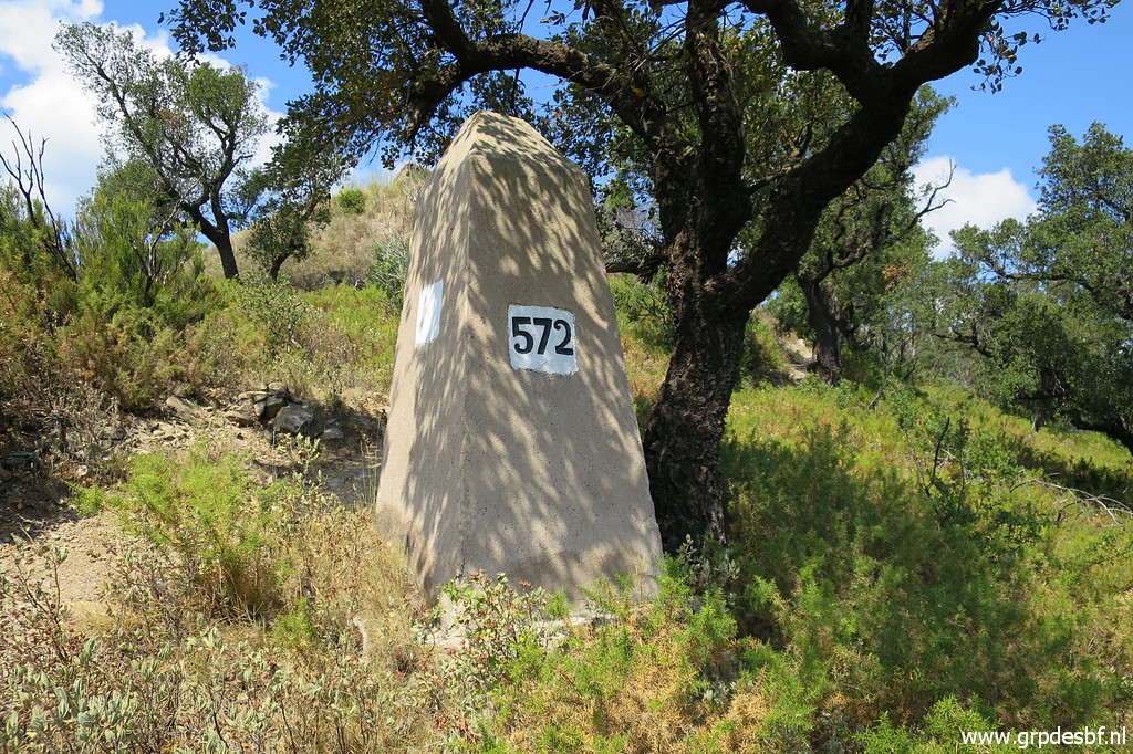 | Bm572 (click photo to enlarge) |
 | Bm571 is close (click photo to enlarge) |
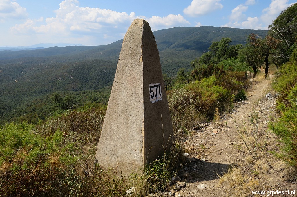 | Bm571 (click photo to enlarge) |
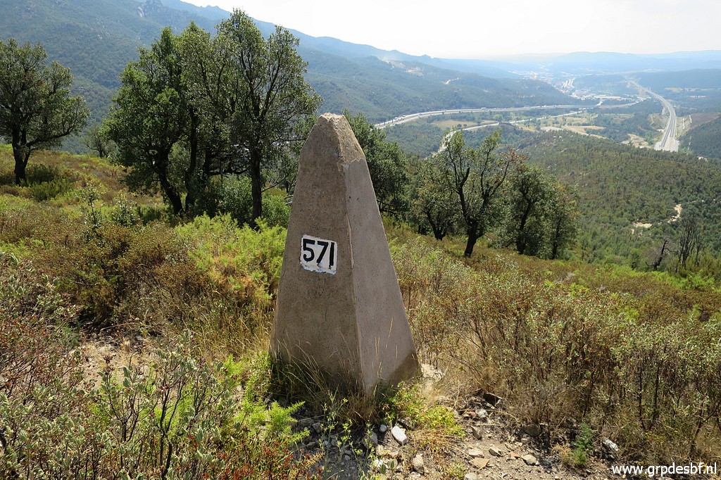 | Bm571 (click photo to enlarge) |
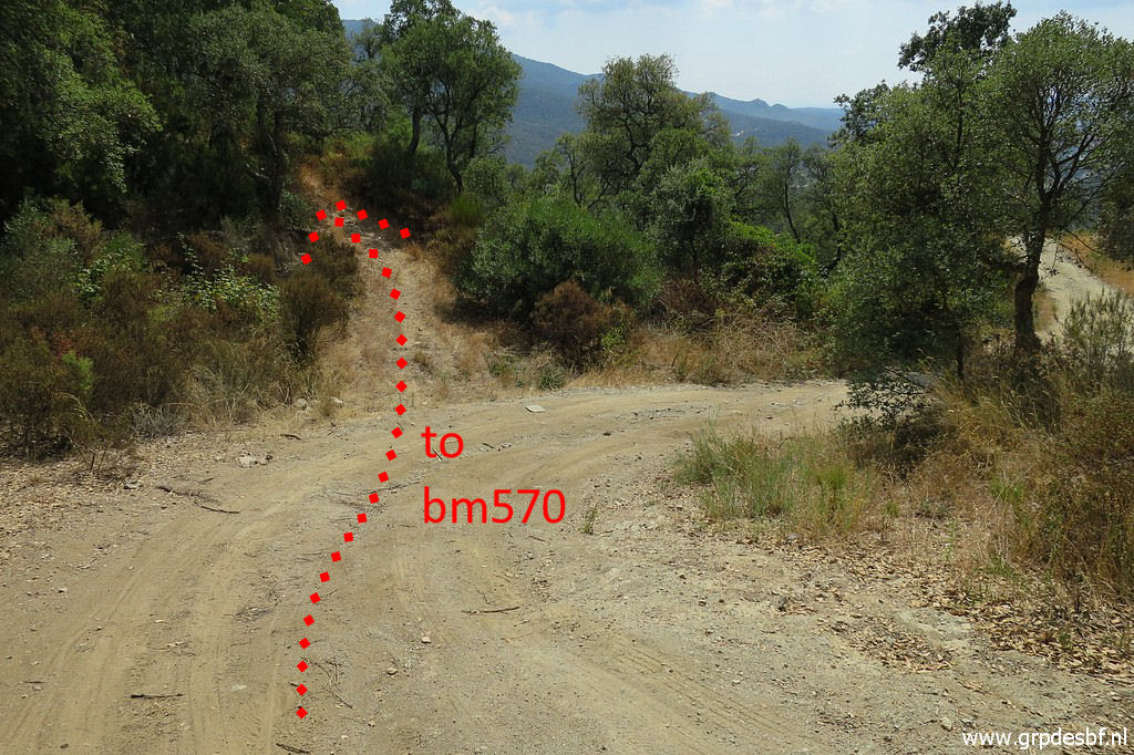
 | And the trail brings me to bm570 (click photo to enlarge) |
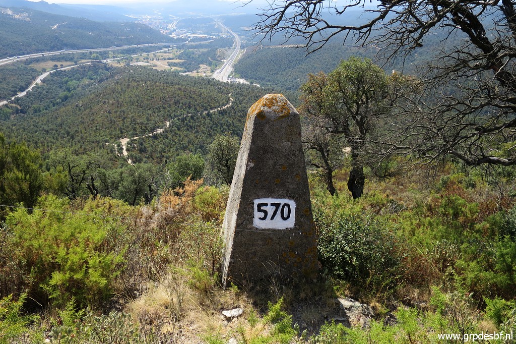 | Bm570 (click photo to enlarge) |
 | A bit further a view of the tower near bm568. (click photo to enlarge) |
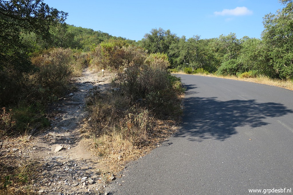
 | This is where the trail ends, at a dirtroad. I look back. (click photo to enlarge) |
 | The dirtroad brings me to Col de Panissar. Bm569 stands besides (click photo to enlarge) |
 | an old cemetery (click photo to enlarge) |
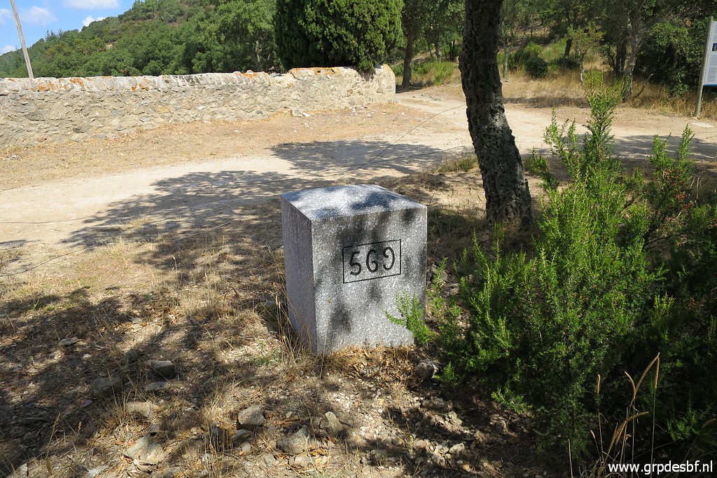 | Bm569 (click photo to enlarge) |
 | I spot a new cycling trail (click photo to enlarge) |
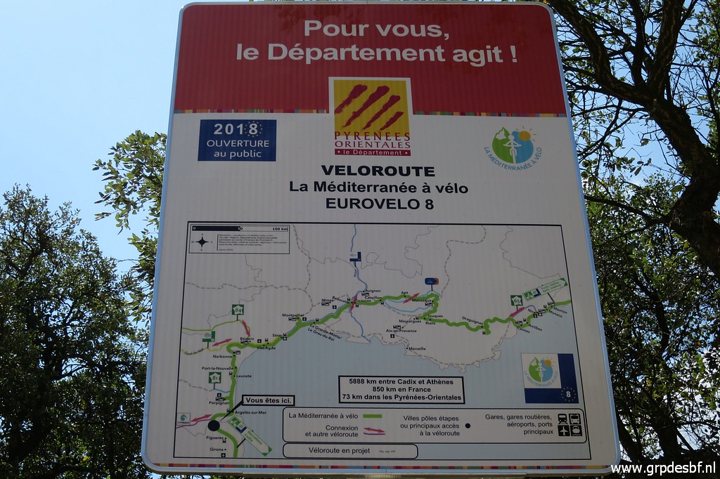 | with a very interesting challenge: along the Mediterranean coast from Spain to Greece. See this website: (click photo to enlarge) |
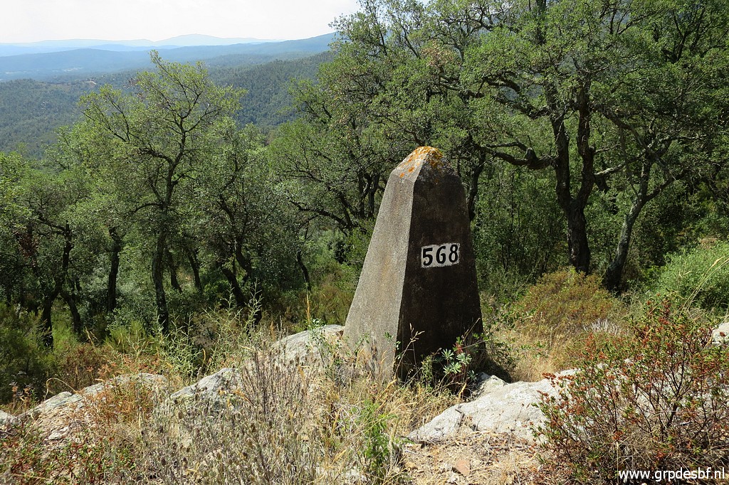 | Bm568 (click photo to enlarge) |
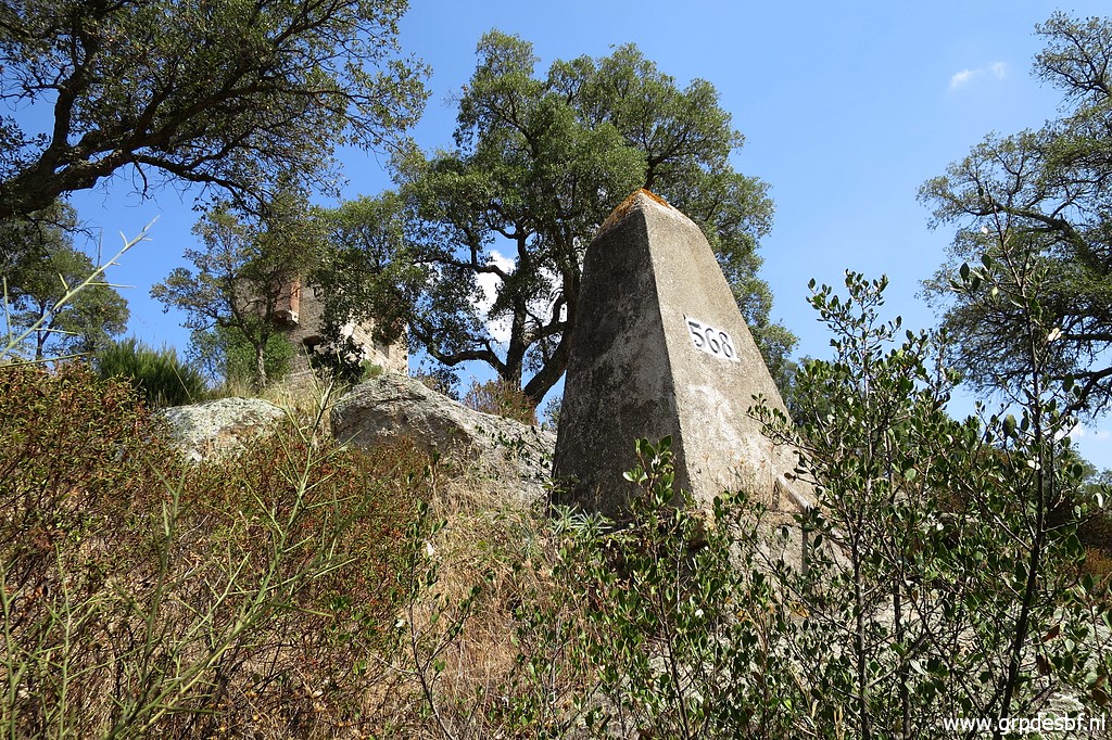 | Bm568. In the background the tower. (click photo to enlarge) |
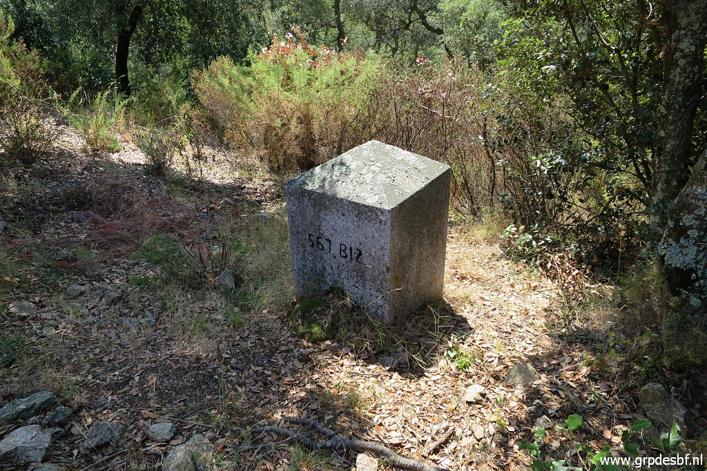 | Bm567bis, an intermediate marker not mentioned in the treaty. Not known when and why it was placed. (click photo to enlarge) |
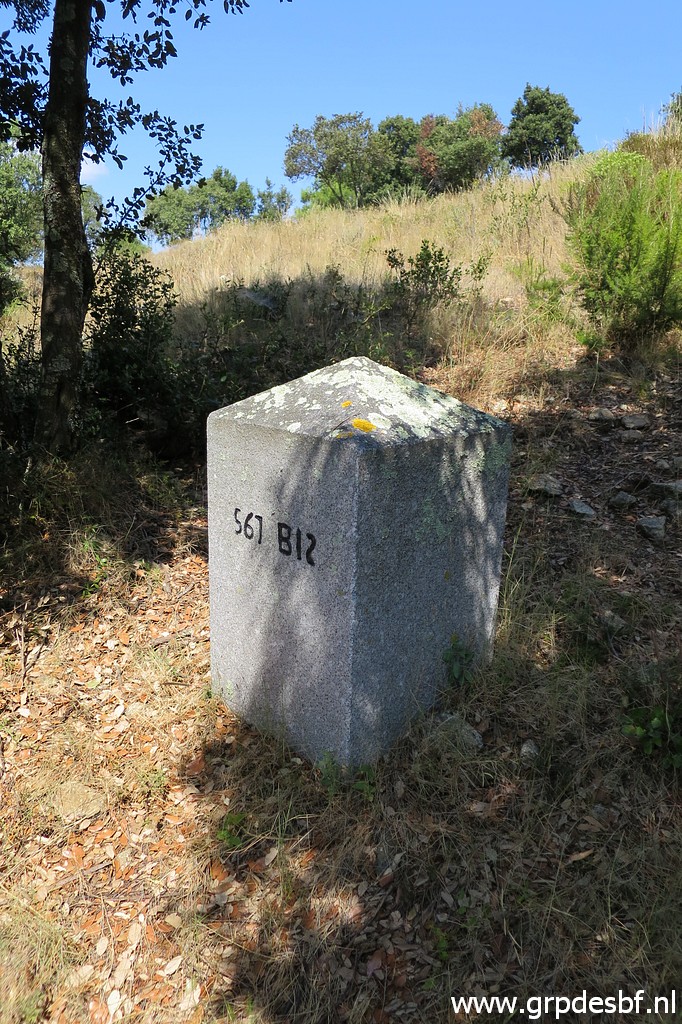 | Bm567bis (click photo to enlarge) |
 | Bm567 (click photo to enlarge) |
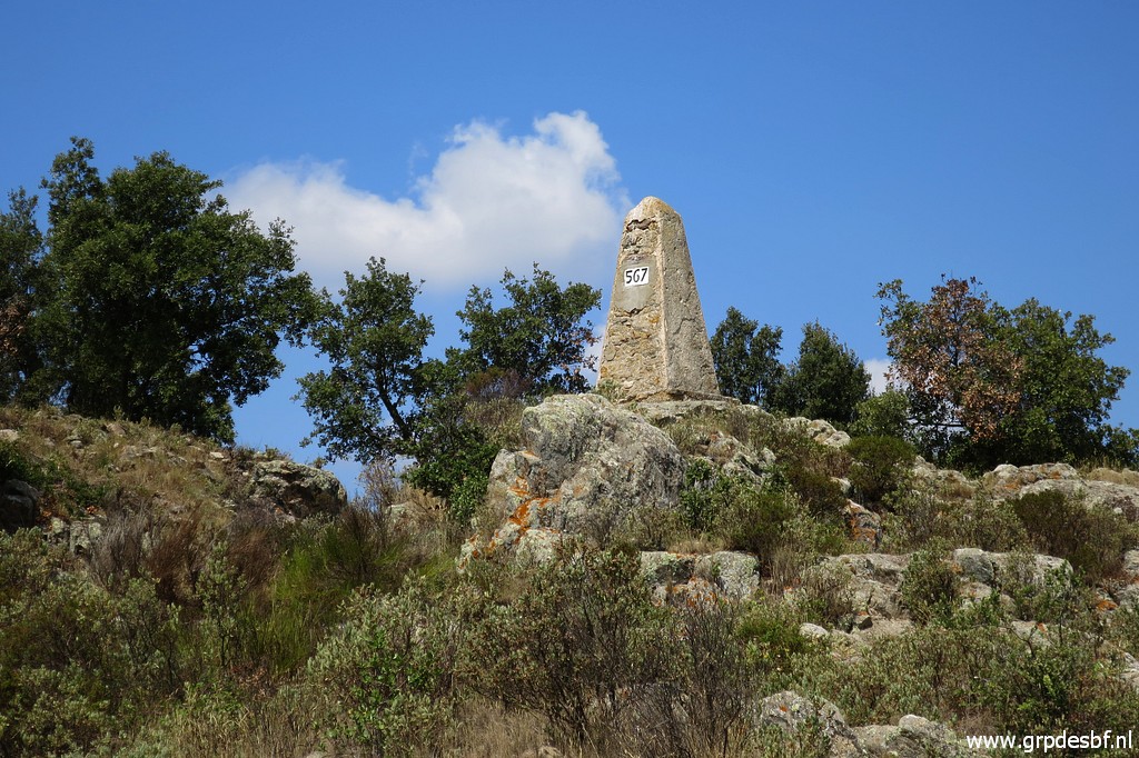 | Bm567 (click photo to enlarge) |
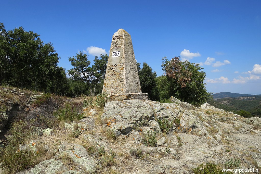 | Bm567 (click photo to enlarge) |
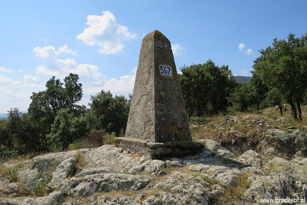 | Bm567 (click photo to enlarge) |
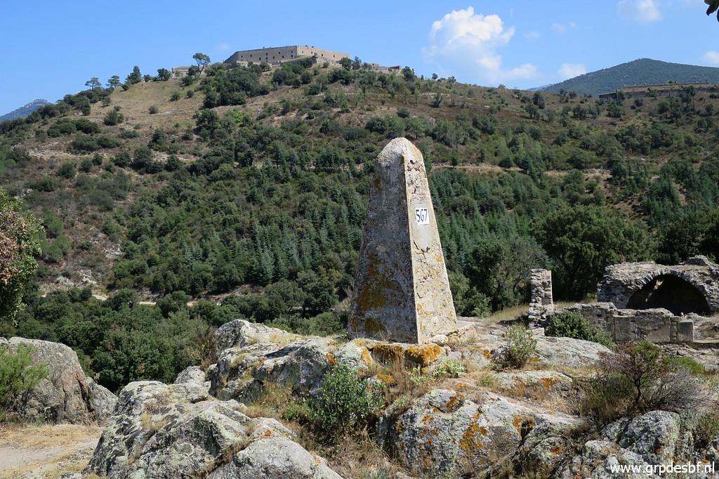 | Bm567, in the background the Fort de Bellegarde. Short break near the cemetery, it's already 30 degrees. (click photo to enlarge) |
 | I return to the entrance of Fort de Bellegarde using first a trail uphill from the cemetery. I already decided to change my GRPdesBF-route. The main route will cover bm567 to 572 and continue to Le Perthus via Fort de Bellegarde. Doing bm573 back and forth will become a variant. (click photo to enlarge) |
 | At the other side of the entrace road a sort of parking where the shortcut-trail starts towards Le Perthus. (click photo to enlarge) |
 | Back
on the tarmac, But that is
intended for a variant covering bm536-539. The main GRPdesBF-route will
continue on the dirtroad ("cami") and climb to bm540.But that is
intended for a variant covering bm536-539. The main GRPdesBF-route will
continue on the dirtroad ("cami") and climb to bm540.I try if there's
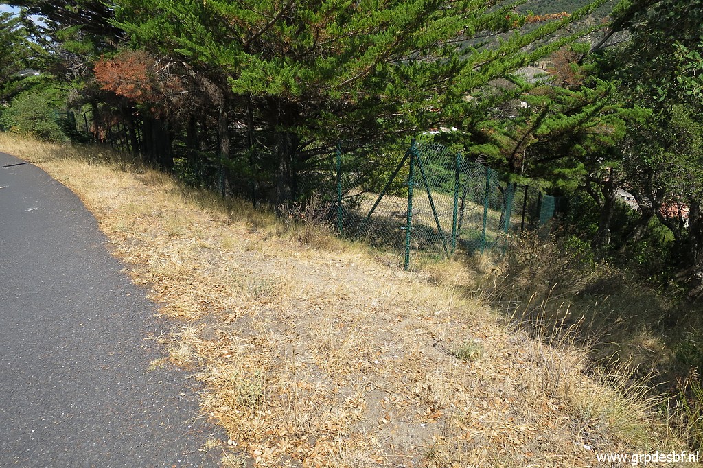
another shortcut to downtown Le Perthus, down this fence. In vain. (click photo to enlarge) |
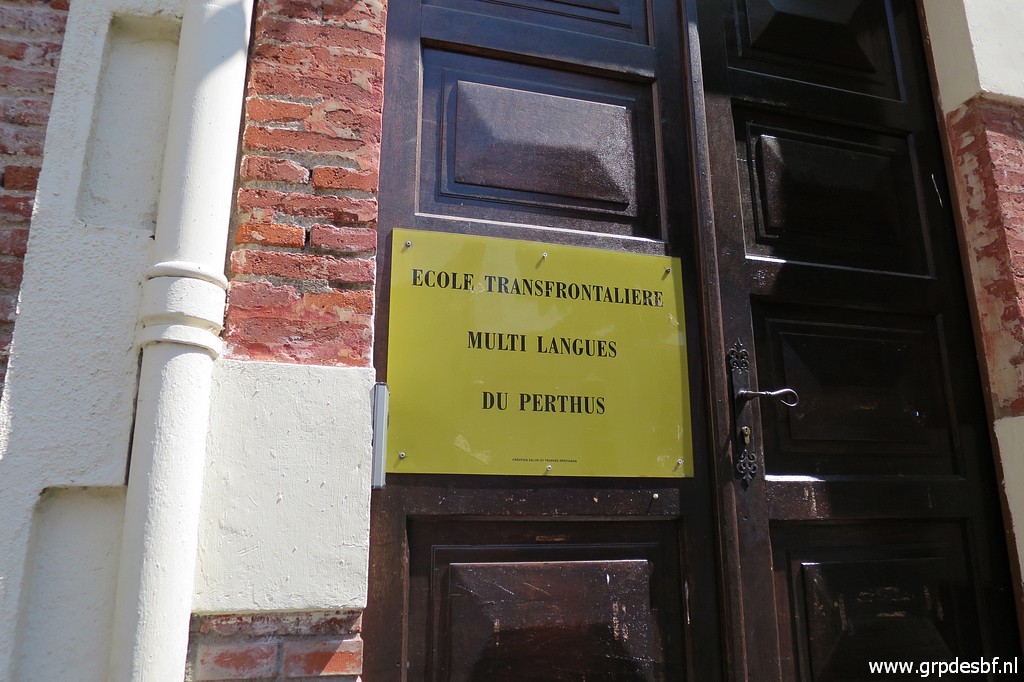 | Back in Le Perthus, interesting bilingual school. (click photo to enlarge) |
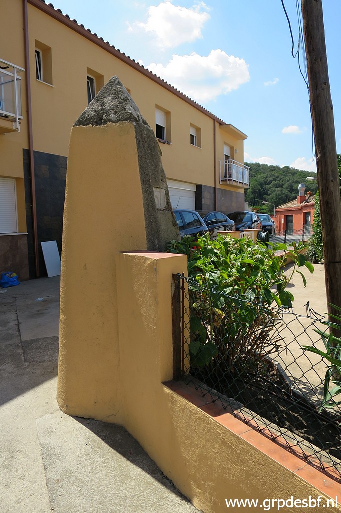
 | Bm576 again. (click photo to enlarge) |
 | And finally bm577 (click photo to enlarge) |
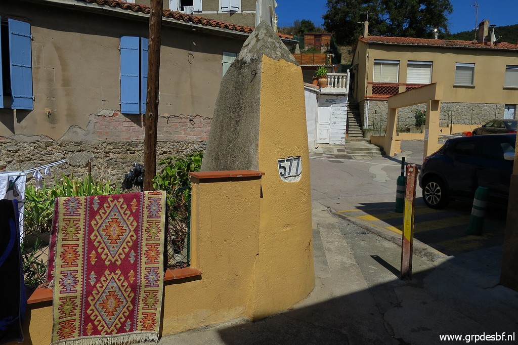 | Bm577 It is even hotter. After a lunch on a terrace, I drive back to the camping. (click photo to enlarge) |