|
The
bordermarkers of the Pyrenees : all my trips
 |
|
| -
monday 2 september
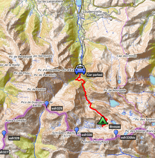
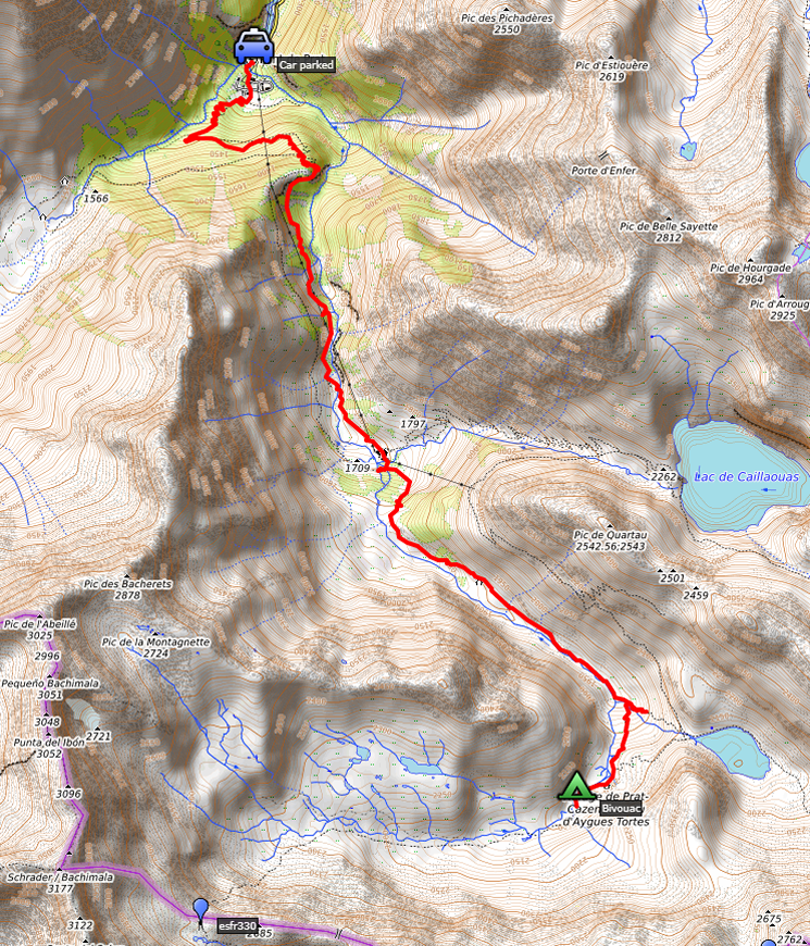
2019 - Climbing from Pont du Prat to the Vallée d'Aygues-Tortes |
 |
 |
Summary:
part of a series of 11 trips in august-september 2019 in the
Pyrénées-Orientales, Andorra and the Hautes-Pyrénées. This is the first
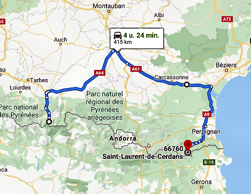
day of trip 8. Today: first day of a 3-daystrip, today climbing from Pont du Prat to the upper valley of d'Aygues-Tortes. The next day I will continue to Port d'Aygues-Tortes (bm330) and try a traverse to Señal de Viadós back and forth Weather: cloudy, foggy, cold |
 track-20190902.kml
(click to open this trip in Google Earth or copy link to Google Maps; click right on this link to download gpx-version). The gps-track has not been manually corrected which explains the inaccuracy and misalignment at some points. For cartographic backgrounds: see the cartography-page Gps-waypoints of all bordermarkers (most recent version): kml: esfr-bordermarkers-all-waypoints.kml gpx: esfr-bordermarkers-all-waypoints.gpx |
|
 |
According to Garmin
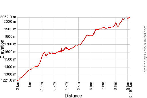
Basecamp (uncorrected track): Distance: 9,2 km Max-height: 2062m Min-height: 1259m Elevation: +929m -128m Total elevation: 1057m Start 14:33 Finish 18:43 Total time: 4:09 |
 |
|
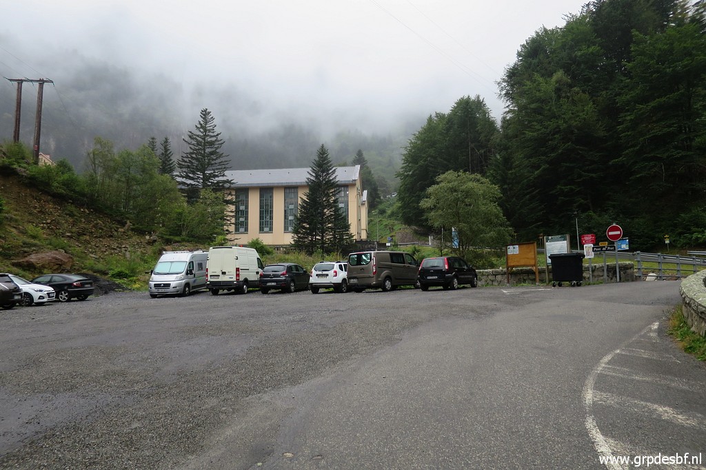 | In the morning I drive from the camping in St-Laurent-de-Cerdans to Pont du Prat. Starting in the afternoon at Pont de Prat in a bit of drizzle. (click photo to enlarge) |
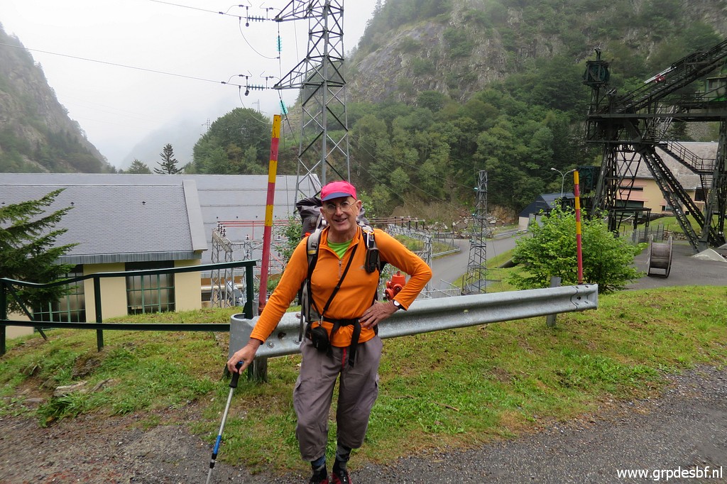 | I'm ready for my 3-days trip. (click photo to enlarge) |
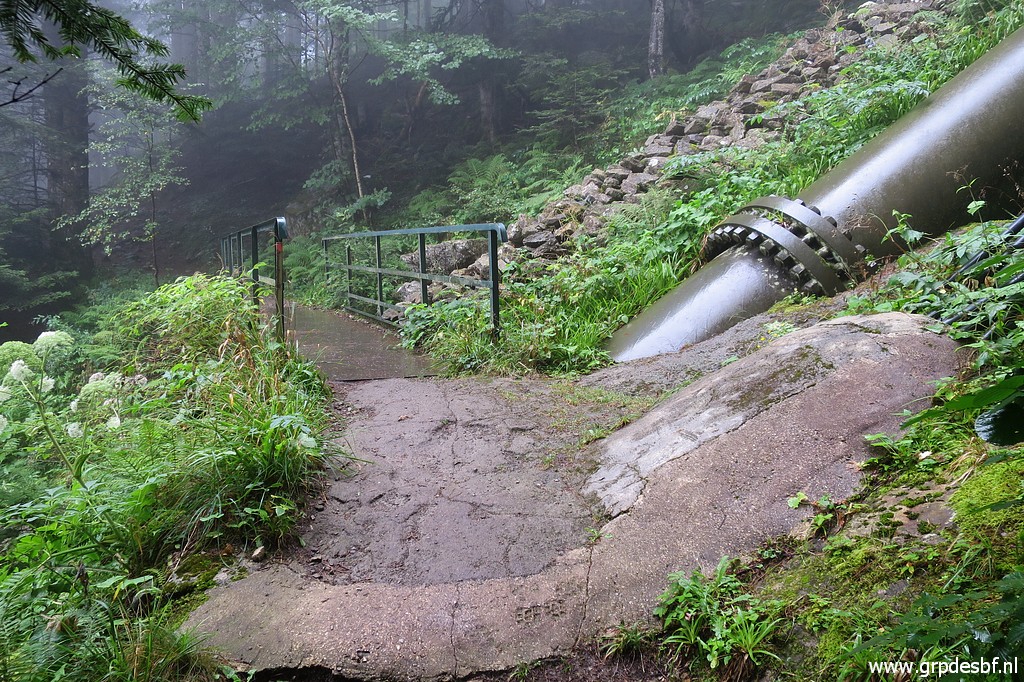 | First to Refuge de Soula. The trail passes a huge pipeline. (click photo to enlarge) |
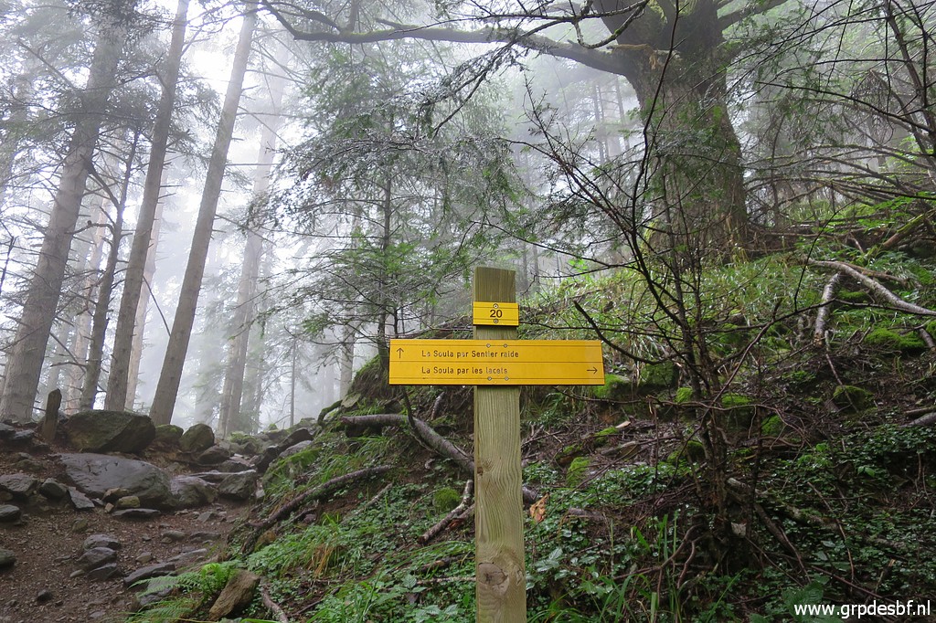 | A choice further on: gently climbing on many lacelets or taking a more direct and steeper shortcut. I take the shortcut. (click photo to enlarge) |
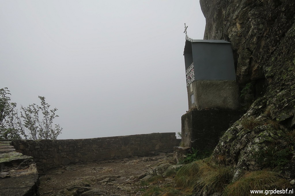 | I have exited the forest and continue along this chapel (click photo to enlarge) |
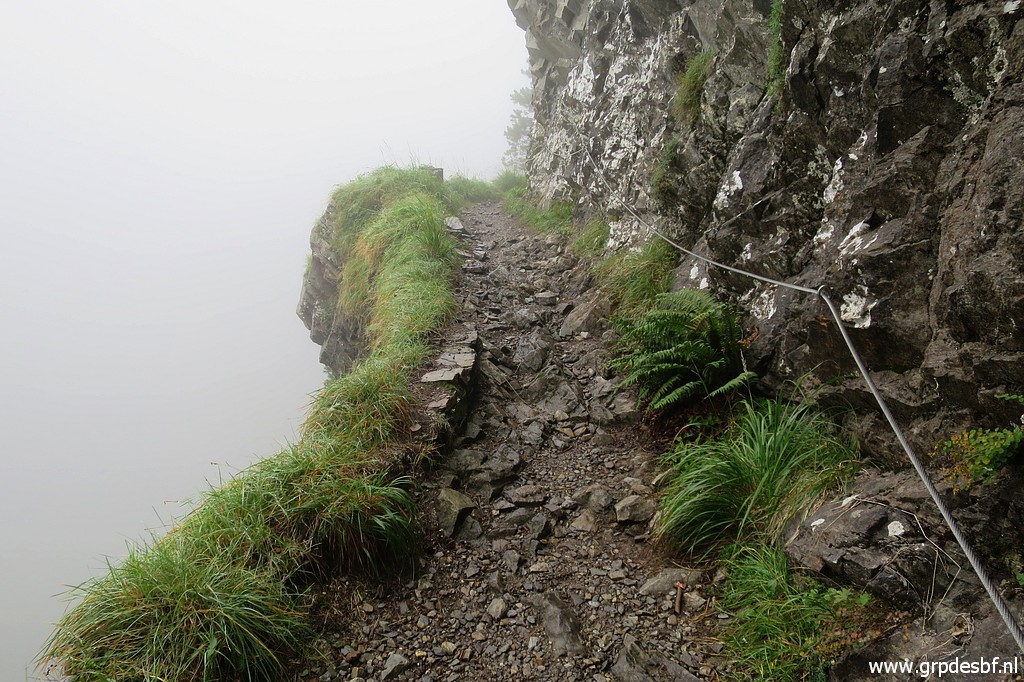 | along a path which has been carved out in the rockwall. This picture: the path seems more cliffhanger-like than it really is. (click photo to enlarge) |
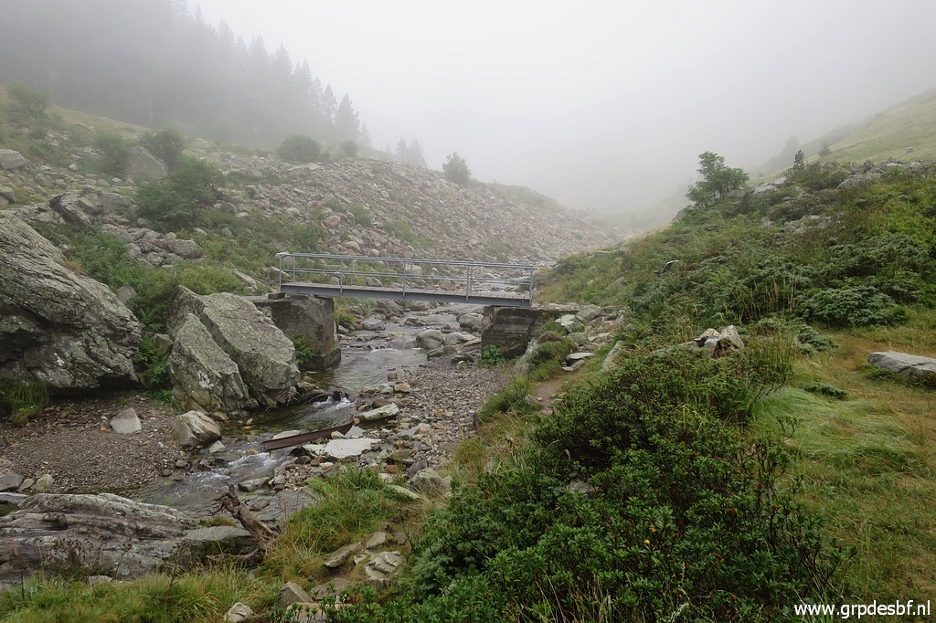 | Close to Refuge de Soula, passing the stream. (click photo to enlarge) |
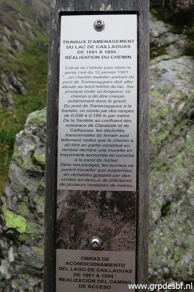 | There are a lot of information boards like this. (click photo to enlarge) |
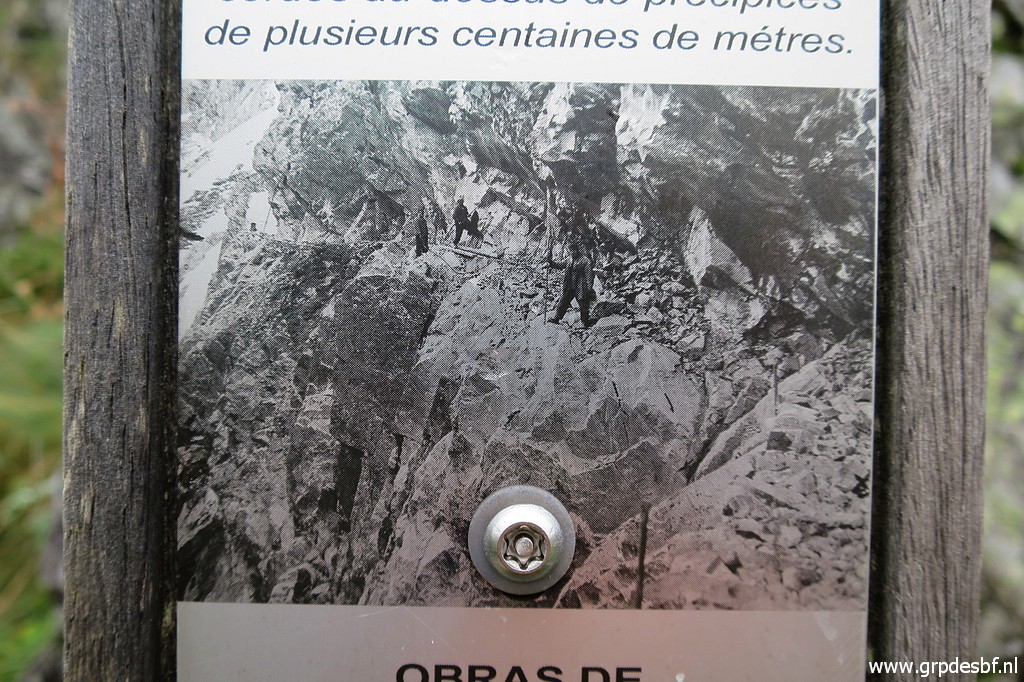 | This one with a nice picture how the path along the rockwall was carved out in the 19th century. (click photo to enlarge) |
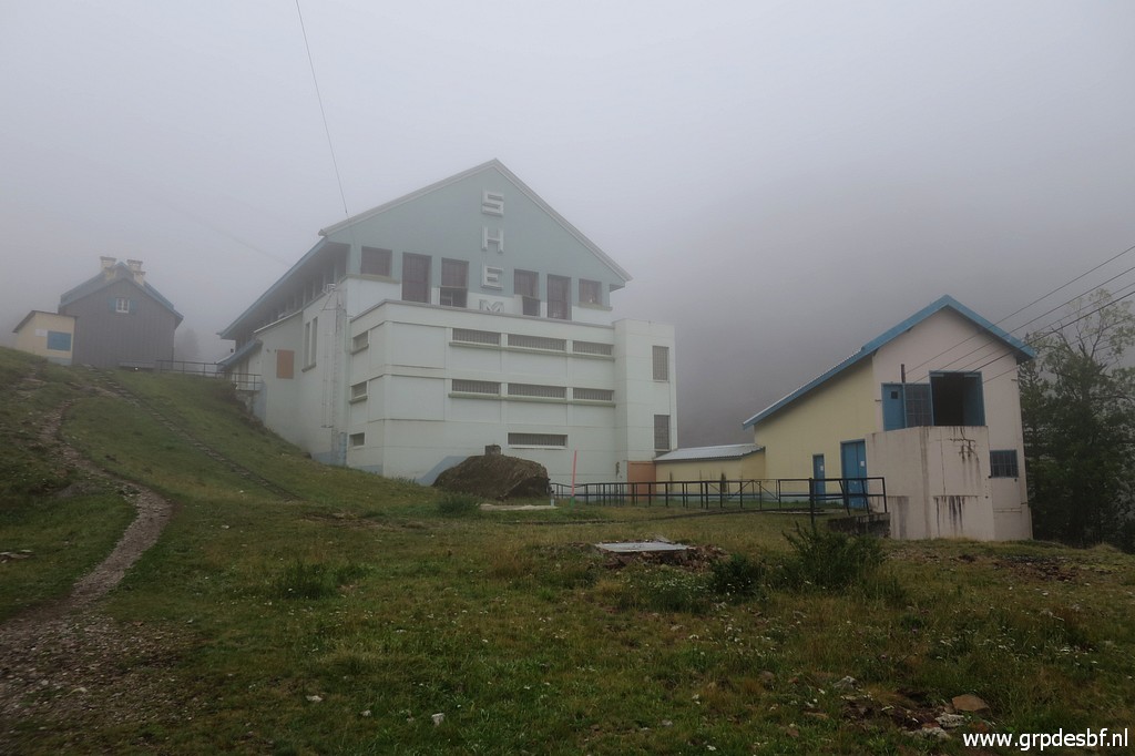 | Passing the electricity facilities of Soula, the refuge is the smaller building to the left. (click photo to enlarge) |
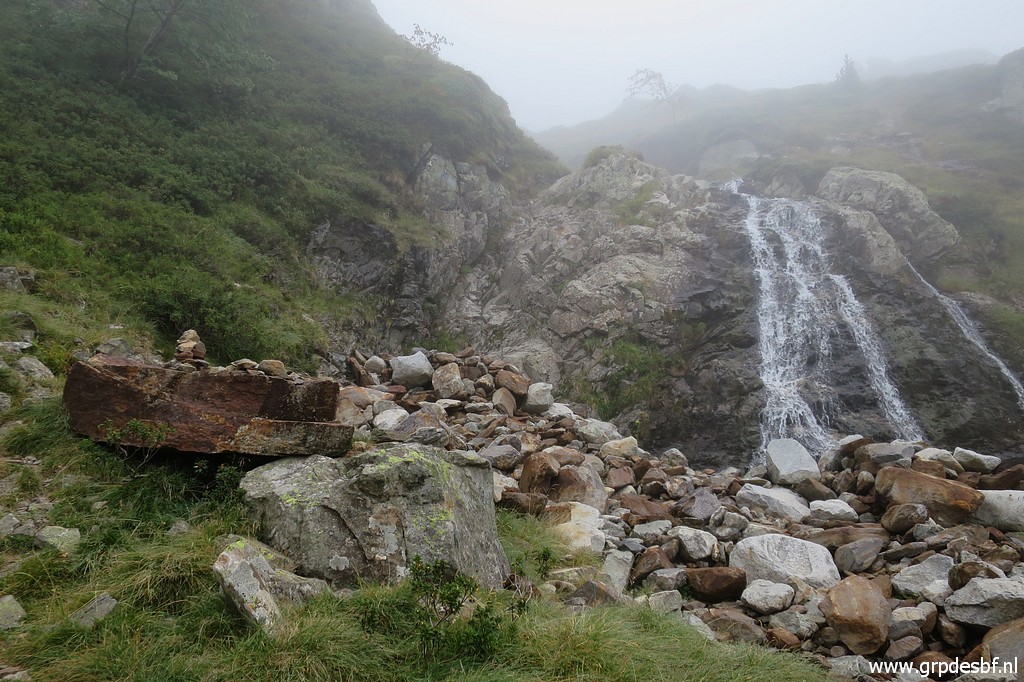
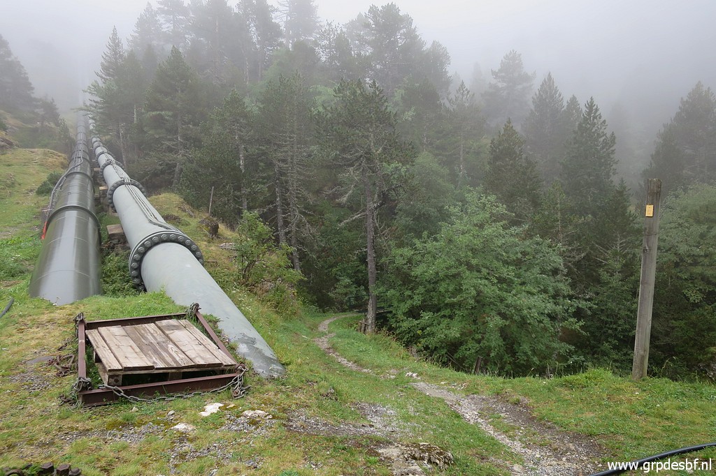 | Giant
waterpipes originating from Lac de Caillauas and the Vallée
d'Aygues-Tortes fuel the the electricity plant near Pont du Prat. (click photo to enlarge) |
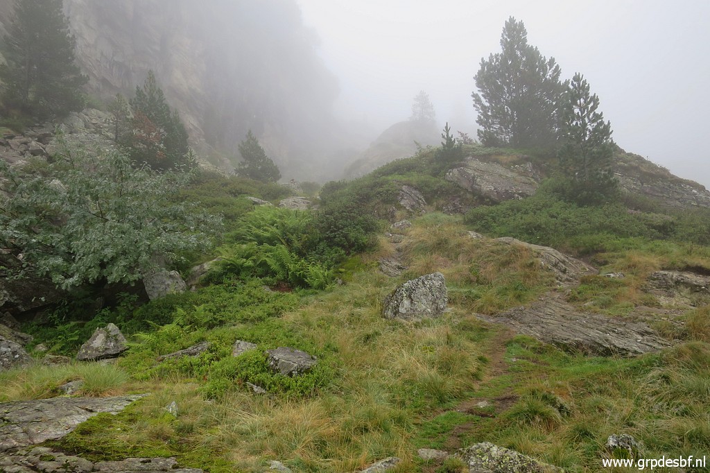 | As I get higher, it gets more foggy. (click photo to enlarge) |
 | The valley consists of severals levels with several climbs in between to get to a next level. The trail is clear but not the bifurcation to Lac de Pouchergues versus the Cabane of Prat Caseneuve. I climb for a short time to the Lac until I discover my mistake. (click photo to enlarge) |
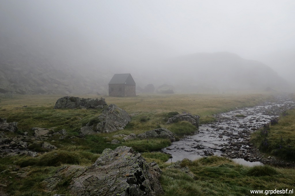 | The cabane of Prat Caseneuve. It is occupied by a hiker and I (click photo to enlarge) |
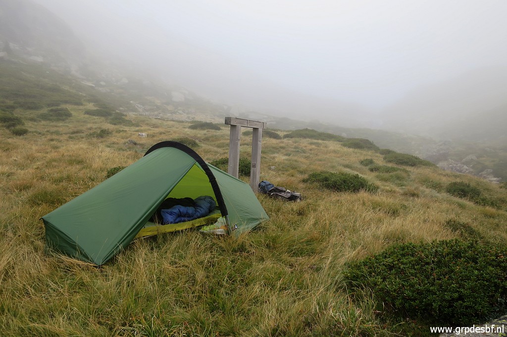 | prefer the privacy of my tent, pitched 250m beyond the cabane. (click photo to enlarge) |
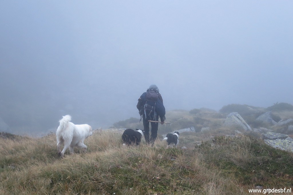 | A shepherd passes by. It's going to be a cold night. I go to sleep early, wrapped up in clothes, sleeping bag and with my woolen hat on. (click photo to enlarge) |