|
The
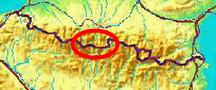
bordermarkers of the Pyrenees : all my trips
 |
|
| -
saturday 7 september
2019 - Reconnaissance of the trail from bm325 to Hospice de Rioumajou |
 |
 |
Summary:
part of a series of 11 trips in august-september 2019 in the
Pyrénées-Orientales, Andorra and the Hautes-Pyrénées. This is trip 10. Today: a check if the trail from bm325 to Hospice de Rioumajou still exists. My basecamp is the camping in Vignec in France. Weather: splendid summer weather |
 track-20190907.kml
(click to open this trip in Google Earth or copy link to Google Maps; click right on this link to download gpx-version). The gps-track has not been manually corrected which explains the inaccuracy and misalignment at some points. For cartographic backgrounds: see the cartography-page Gps-waypoints of all bordermarkers (most recent version): kml: esfr-bordermarkers-all-waypoints.kml gpx: esfr-bordermarkers-all-waypoints.gpx |
|
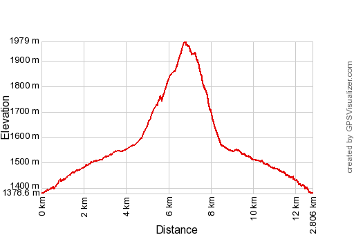 |
According to Garmin
Basecamp (uncorrected track): Distance: 12,8 km Max-height: 1987m Min-height: 1357m Elevation: +658m -638m Total elevation: 1296m Start 8:29 Finish 13:36 Total time: 5:07 |
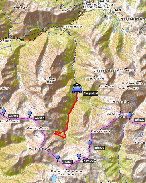
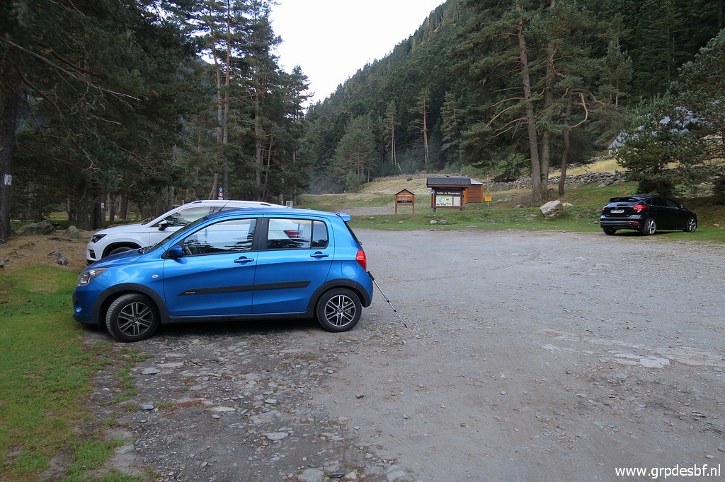 | Start from the parking of Frédencon. (click photo to enlarge) |
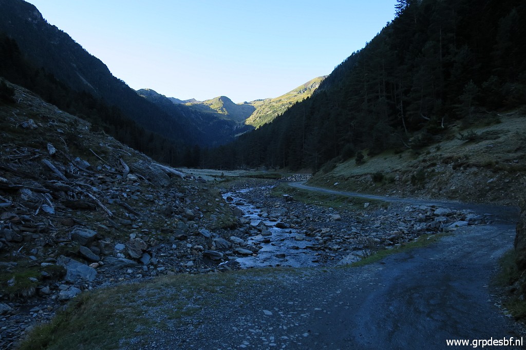 | The dirtroad from the parking to Hospice de Rioumajou. You can drive with your car up to the Hospice but I'm a bit (too?) careful with my car. (click photo to enlarge) |
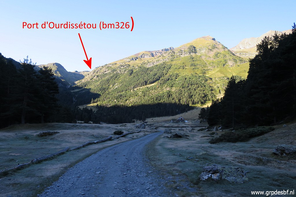 | After 4km I arrive at the end of the valley (click photo to enlarge) |
 | with this bivouac-terrain and the Hospice just beyond it. (click photo to enlarge) |
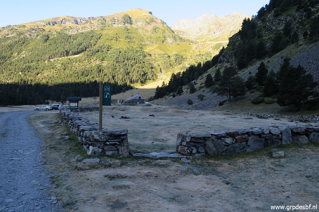
 | Just beyond the Hospice, the crossing of a stream where (click photo to enlarge) |
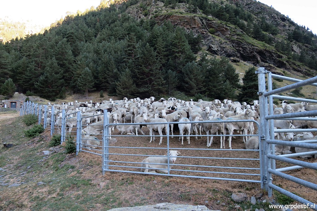 | the sheep are waiting for their release of the day. (click photo to enlarge) |
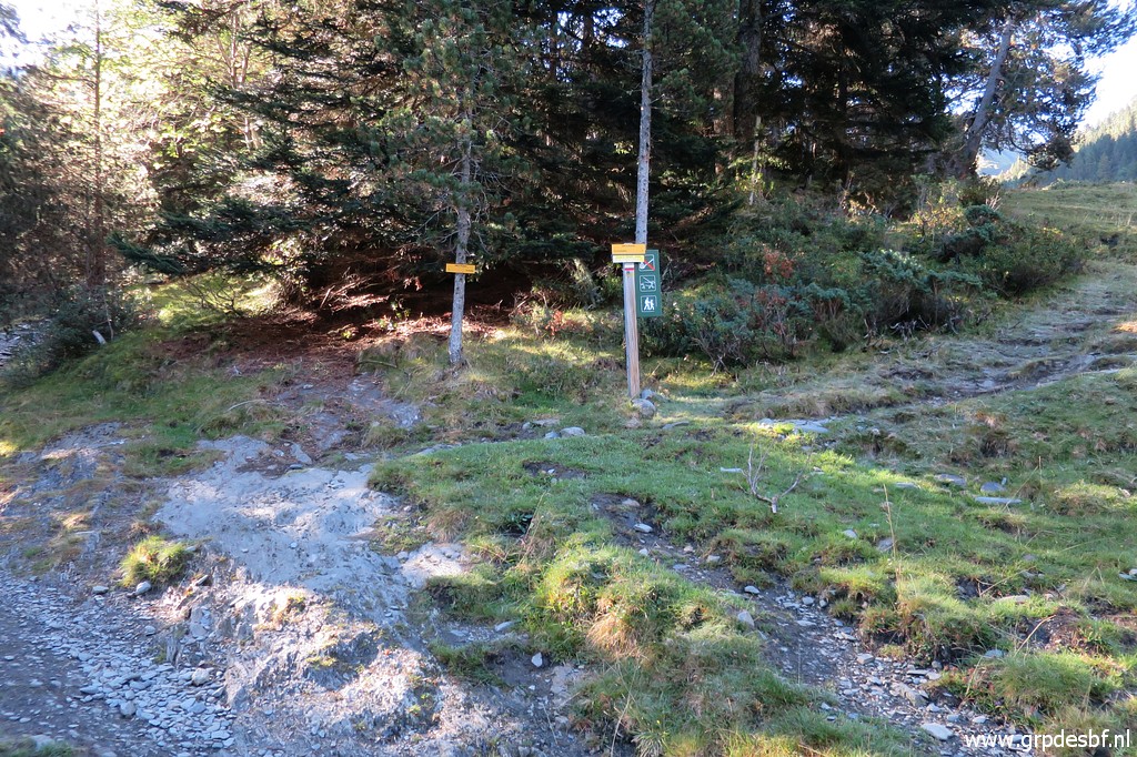 | The
trail leads in 400m to this bifork. To the left is towards Port de
Cauarère (bm328) and to the right to Port d'Ourdissétou (bm326) (click photo to enlarge) |
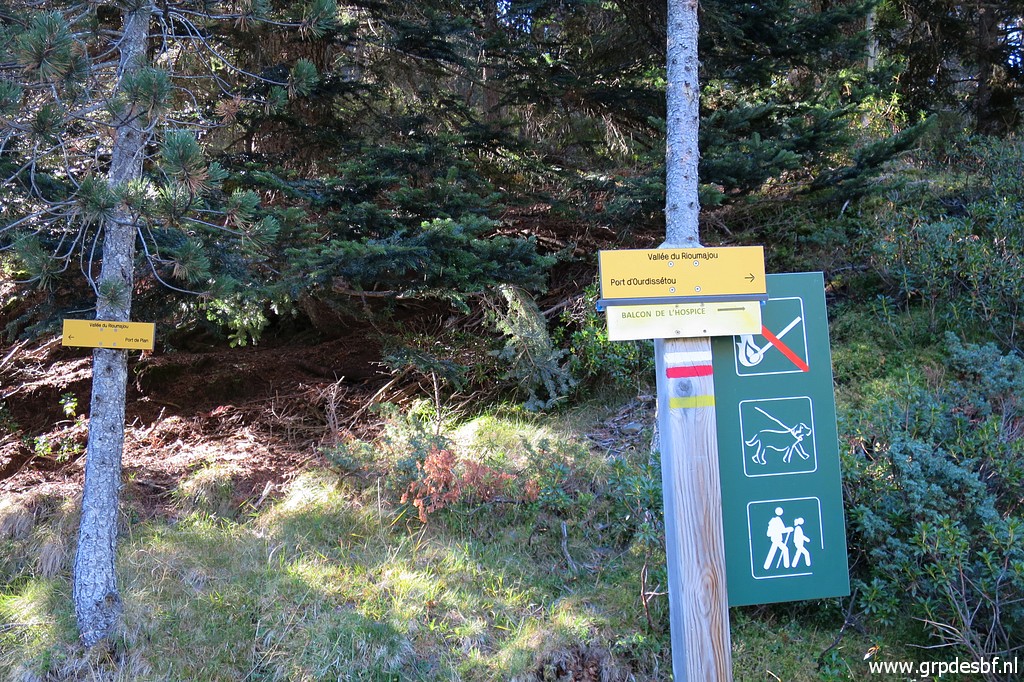 | I take the red-white trail towards Port d'Ourdissétou and (click photo to enlarge) |
 | after another 400m of steadily climbing there's another bifork (click photo to enlarge) |
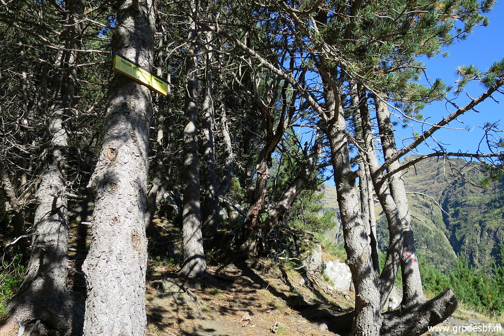 | with this sign waypointing to the "Balcon d'Hospice". That branch is a roundtrip from Hospice de Rioumajou climbing to a plateau (the balcon) with a terrific view down the valley and up the mountains. On 1 september 2010 I arrived at the Balcon, coming from bm325. (click photo to enlarge) |
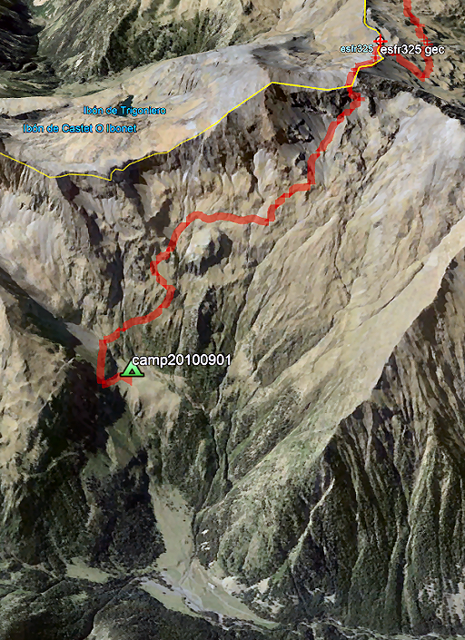 |
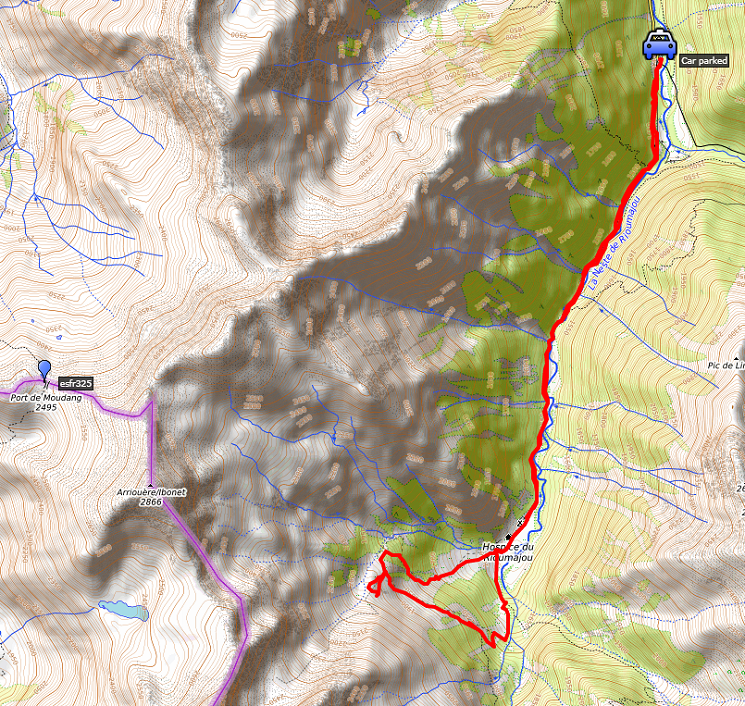
This is that route from bm325 to my bivouac spot at the Balcon. Then I could follow at the French side a route, waymarked by bright orange painted waymarks which led to the Balcon and then (the next day) connected with the red-white trail up to Port d'Ourdissétou (bm326). |
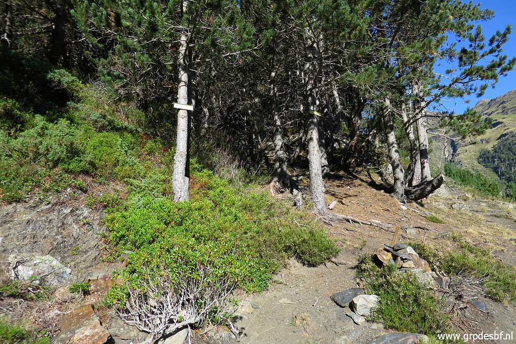
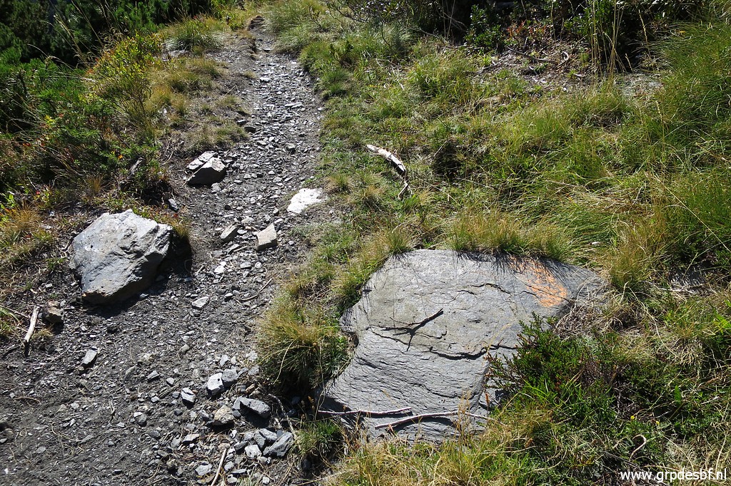 | Does that trail still exists? This picture: I soon spot fainted orange waymarks. (click photo to enlarge) |
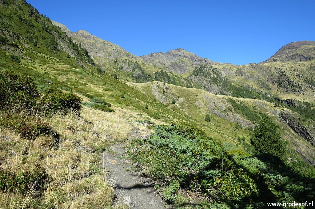 | I keep following the trail uphill to the Balcon with (click photo to enlarge) |
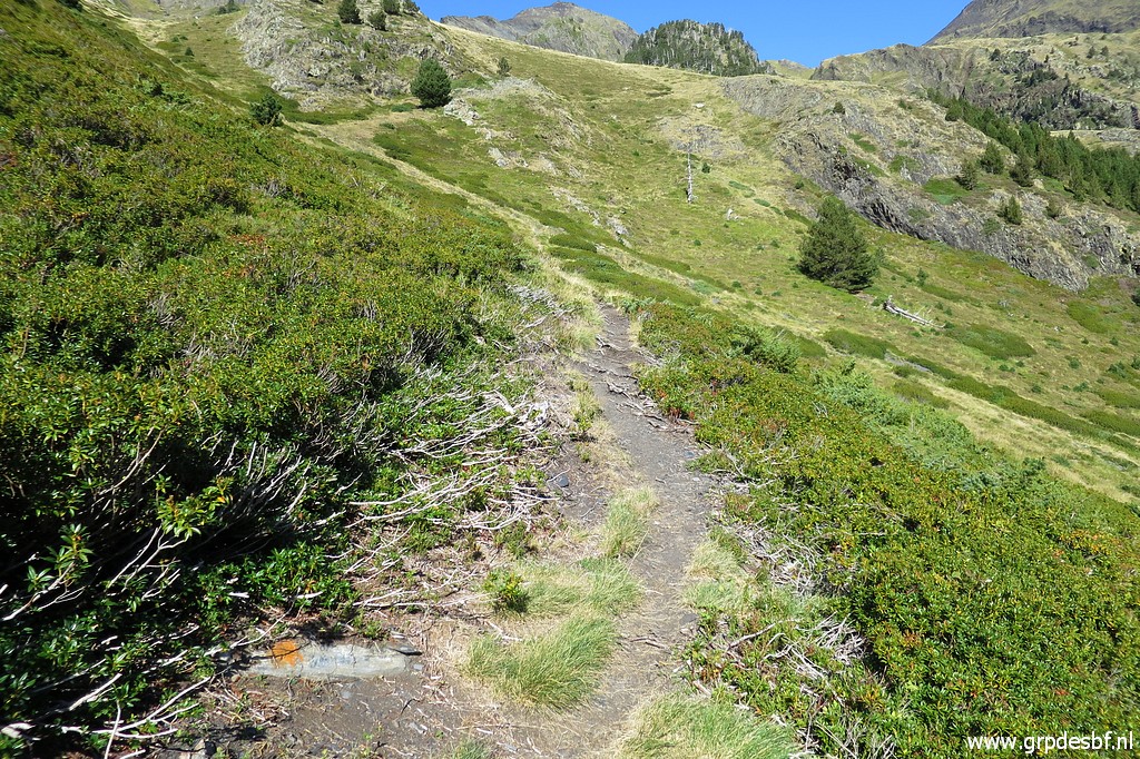 | an occasional fainted orange waymark. That is not promising, apparently those waymarks are not being maintained. (click photo to enlarge) |
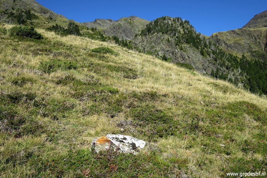 | Later on, the waymarks leave the trail, climbing up the grassy hillside. But then I loose them. I give up. These waymarks are too unreliable for serving the main route of the GRPdesBF. But I have to be honest: I alread figured out that it is better to change the main route in this area. Let's show that on two maps. (click photo to enlarge) |
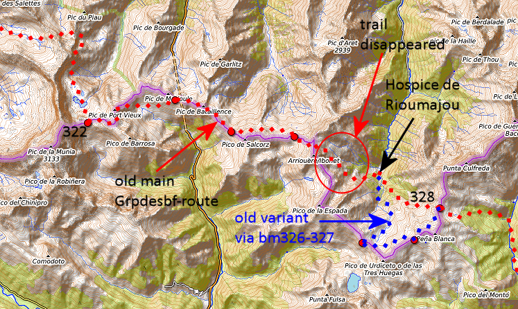 This is my old design |
|
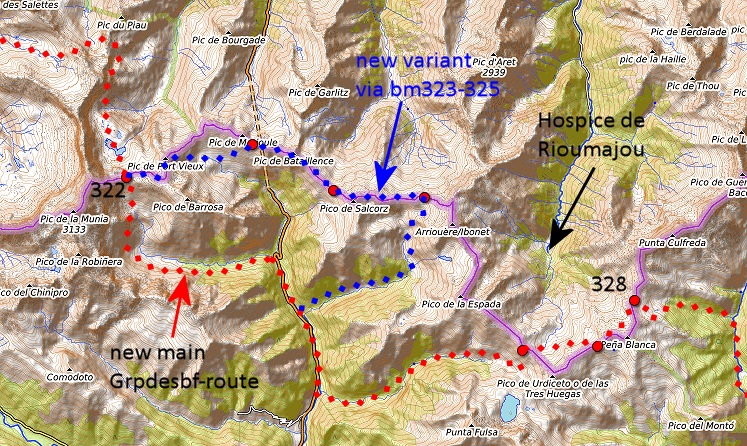 And this my new route: more easy with mostly waymarked trails but more elevation meters by its descent to the road and ascent to bm326. Involves 3,5 kilometers along the tarmac road. Has to be worked out in the grpdesbf-stages. Note: the Topopirineos-map shows a route (roughly 6km) along the mountainridge from bm325 to 326, potentially a great shortcut in good weather. But a route on Topopirineos doesn't necessarily imply a physical trail let alone easy to do. |
|
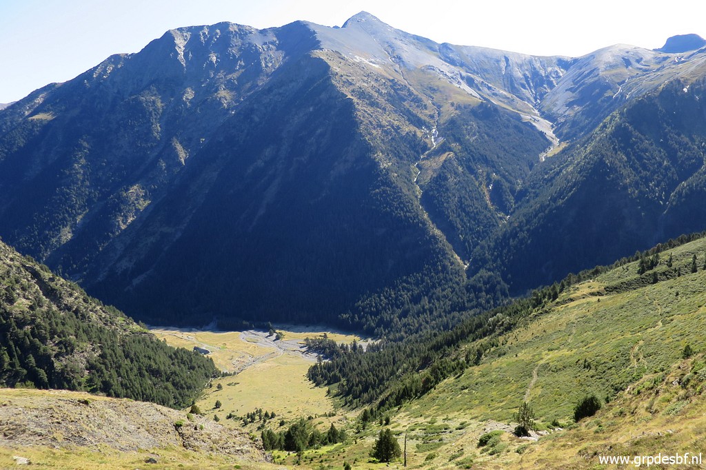 | So my trip receives a relaxt finish by completing the 'Balcon d'Hospice' circular walk. This picture: at the Balcon with its magnificient view. (click photo to enlarge) |
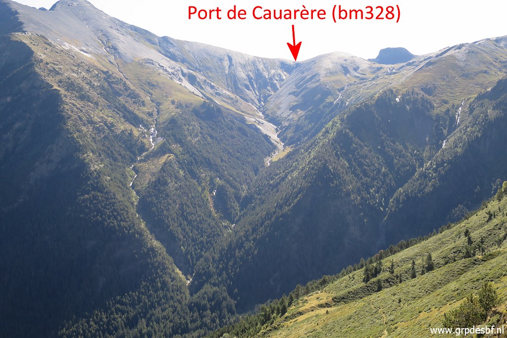 | Zoom-in to Port de Cauarère which I climbed yesterday. (click photo to enlarge) |
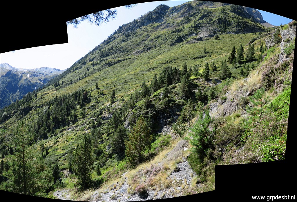
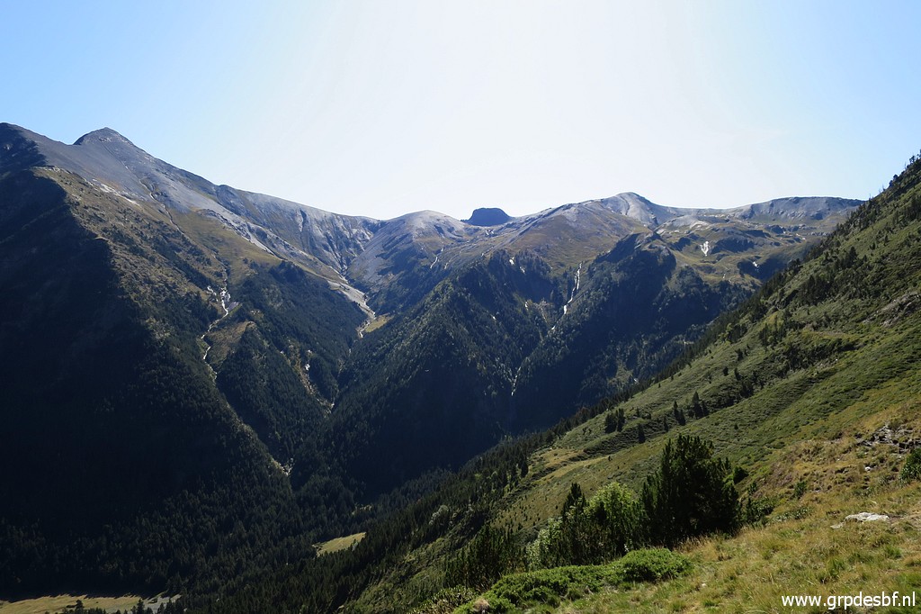 | A wider view, (click photo to enlarge) |
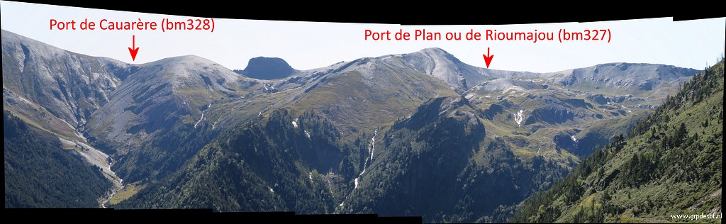 | annotated in this panorama. (click photo to enlarge) |
 | I take a break and descend back to the Hospice with this view to the south. In all peace I return to my car and the camping in Vignec. (click photo to enlarge) |