|
The
bordermarkers of the Pyrenees : all my trips
 |
|
| -
tuesday 23 june
2020 - Digging up 044-3e, relocate 044L, doing 002-011 |
 |
 |
Summary:
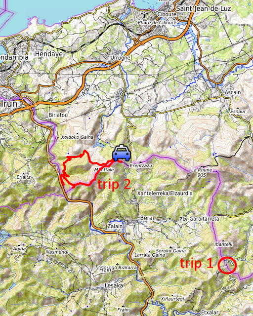
part of a series of 6 trips in june 2020 near Luchon and in the Basque
country. This is trip 3. Today: a special day. In the first trip, I will find the lost third border-plate on Col de Lizarrieta and move bm044L to its original location. The second trip is for redoing bm002 to 011. Basecamp = camping Xokoan in Dantxaria. Weather: very hot. |
 |
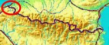
Trip 1 This is my working area for the first trip. |
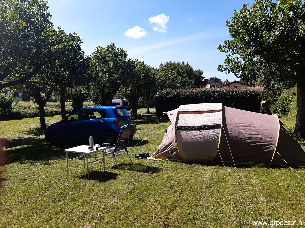 | My basecamp for my trips in the Basque country: camping Xokoan in Dantxarria. I arrived here yesterday. (click photo to enlarge) |
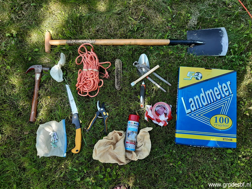 | And this my toolkit for trip 1. The two essential items are the spade and the surveyor's measuring-tape ("landmeter"). (click photo to enlarge) |
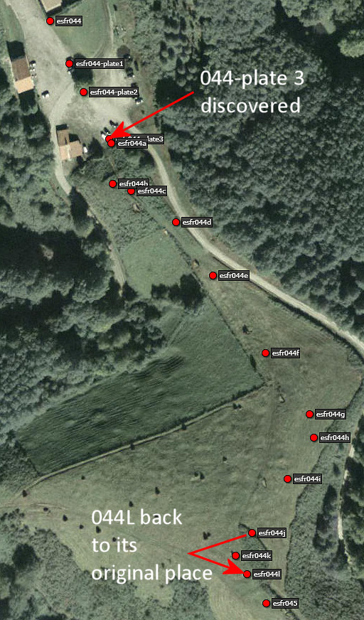
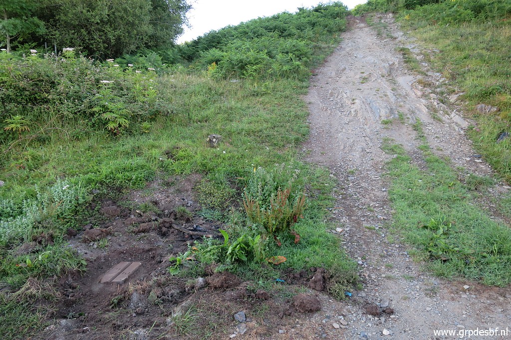
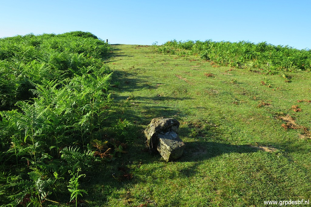
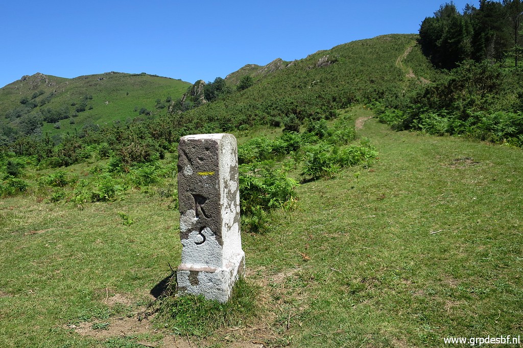
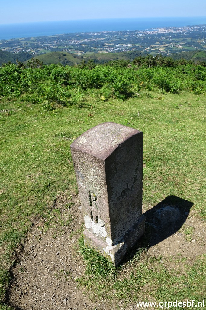
 | I arrive around 7am at Col de Lizarrieta, early enough to avoid unwanted attention. Bm044-plate 3 is an unnumbered plate at ground level with an E and a F. There were three of them placed in 1988 at the flat broad pass between bm044 and 044a. No. 1 and no. 2 still exist but no. 3 seemed lost. But could it be buried under the tarmac or under a landslide from the hillside? (click photo to enlarge) |
 | Luckily
the exact intermediate distances of the new intermediate markers
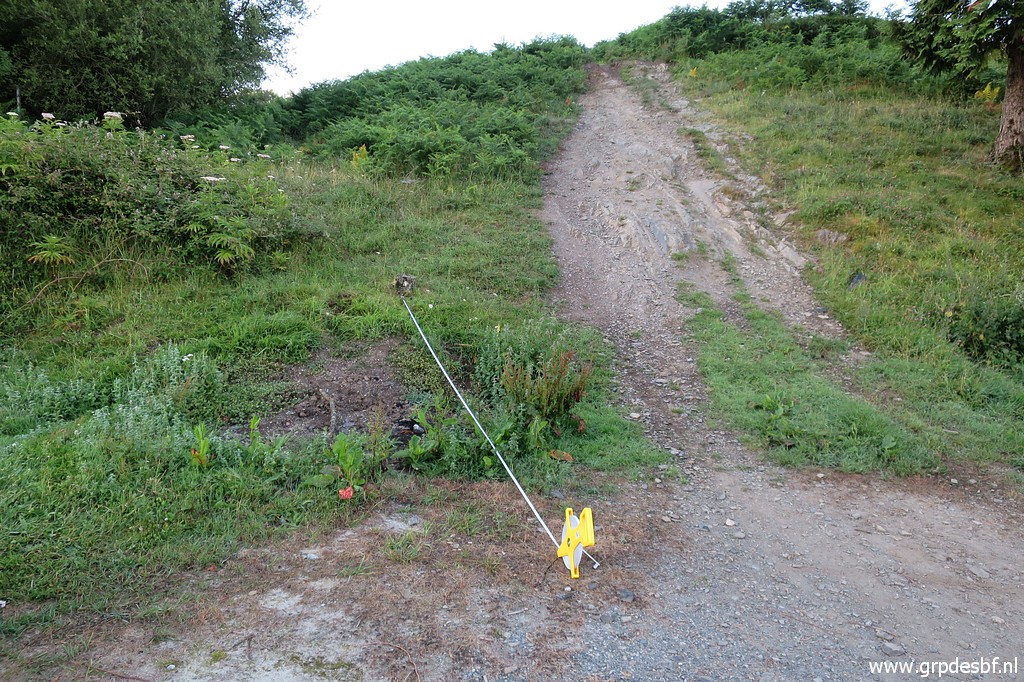
between bm044 and 045 are mentioned in de treaty of 1988 (see this page) Bm044-plate 3 is only 3,8m from bm044A but my first measurement (click photo to enlarge) |
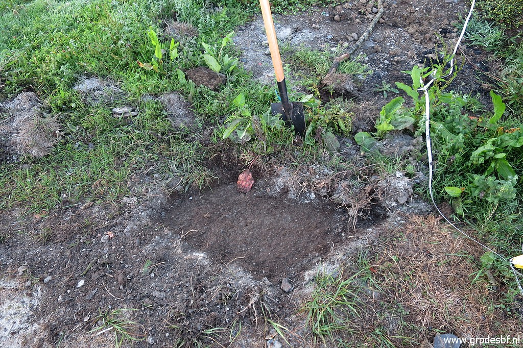 | gave no result: bare tarmac under a thin surface of earth. (click photo to enlarge) |
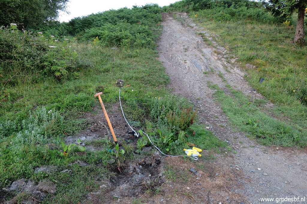
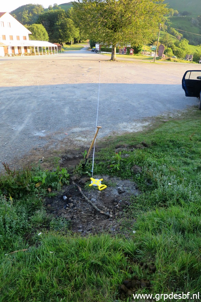 | Then I measure the distance from plate 2 (32,9m) in a straigh line to bm044A. As you can see, I was close with my first digging. (click photo to enlarge) |
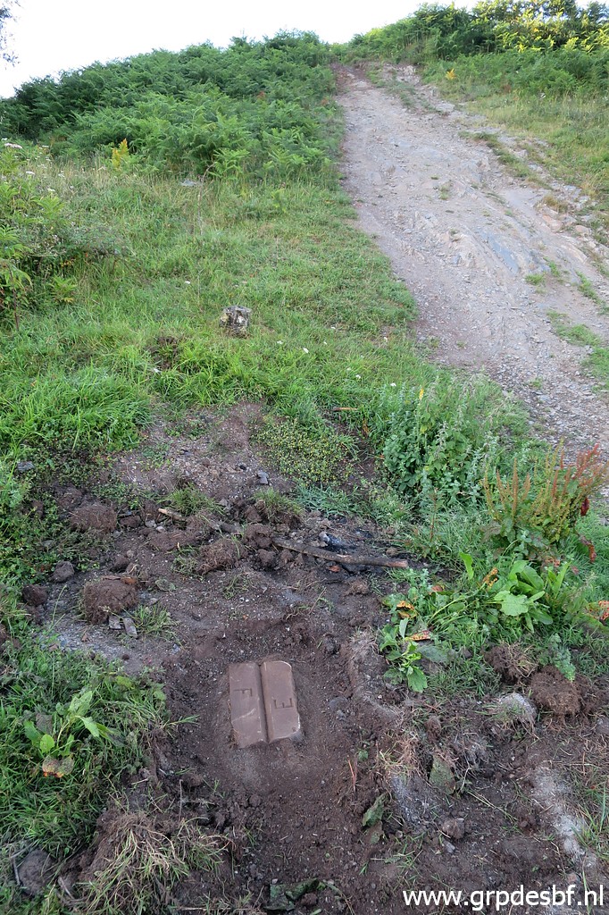 | Both measurements result in a more precise location and there I find bm044-plate 3! (click photo to enlarge) |
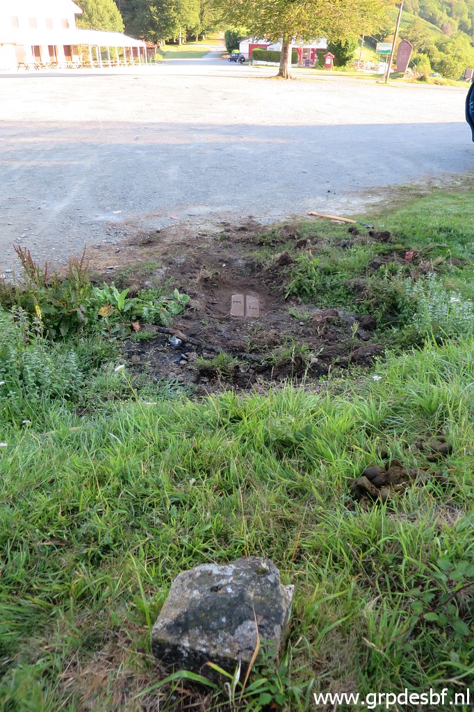 | Bm044-plate 3 as seen from bm044A. (click photo to enlarge) |
 | Bm044-plate 3 (click photo to enlarge) |
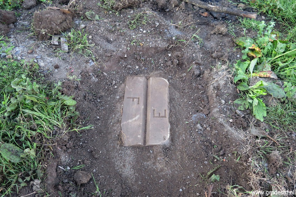 | Bm044-plate 3 Mission accomplished, I'm very content. (click photo to enlarge) |
 |
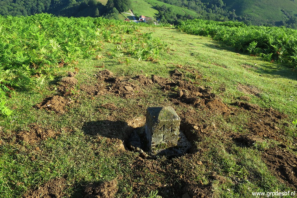
Then
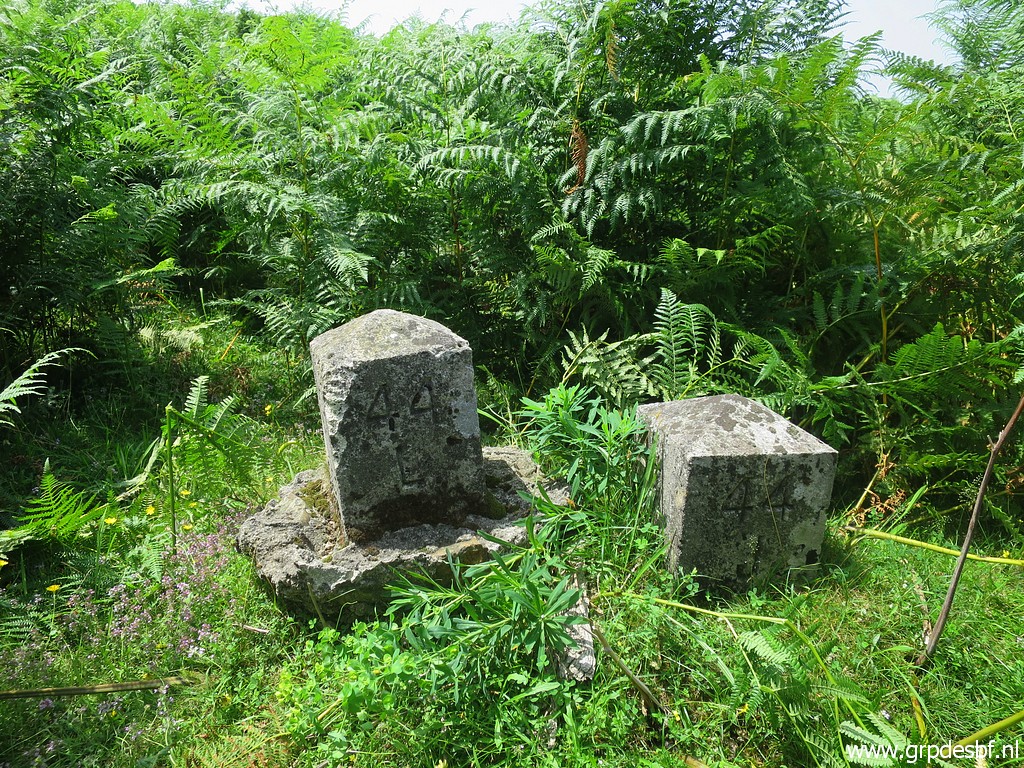
the next target: moving bm044L to its original position. Since long bm044L was lying besides bm044J and no one seemed to care. This picture was taken on 20190722 (click photo to enlarge) |
 | This picture: having arrived at bm045 with my tools. (click photo to enlarge) |
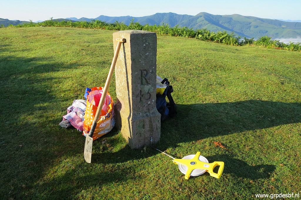 | The distance from bm045 to the original location of bm044L is 20,9m. (click photo to enlarge) |
 | And that gives this location, confirmed by a measurement from bm044K (13,0m) and a previously established gps-location. (click photo to enlarge) |
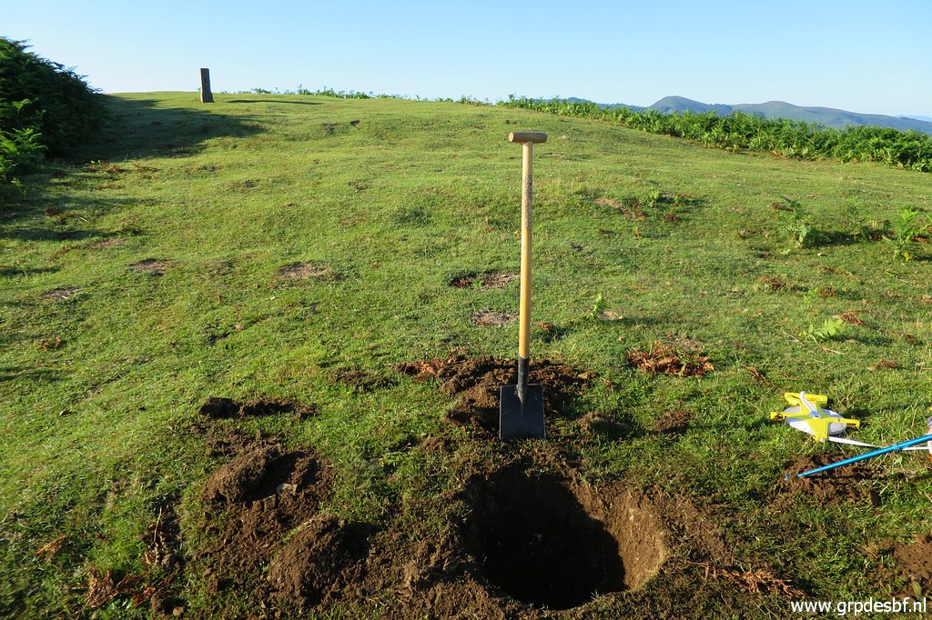 | Digging a hole for bm044L. (click photo to enlarge) |
 | Then a tough job: rolling bm044L from its position besides bm044J uphill to its original location. The round concrete base helps a lot in rolling it uphill. (click photo to enlarge) |
 | Bm044L installed at its original position. (click photo to enlarge) |
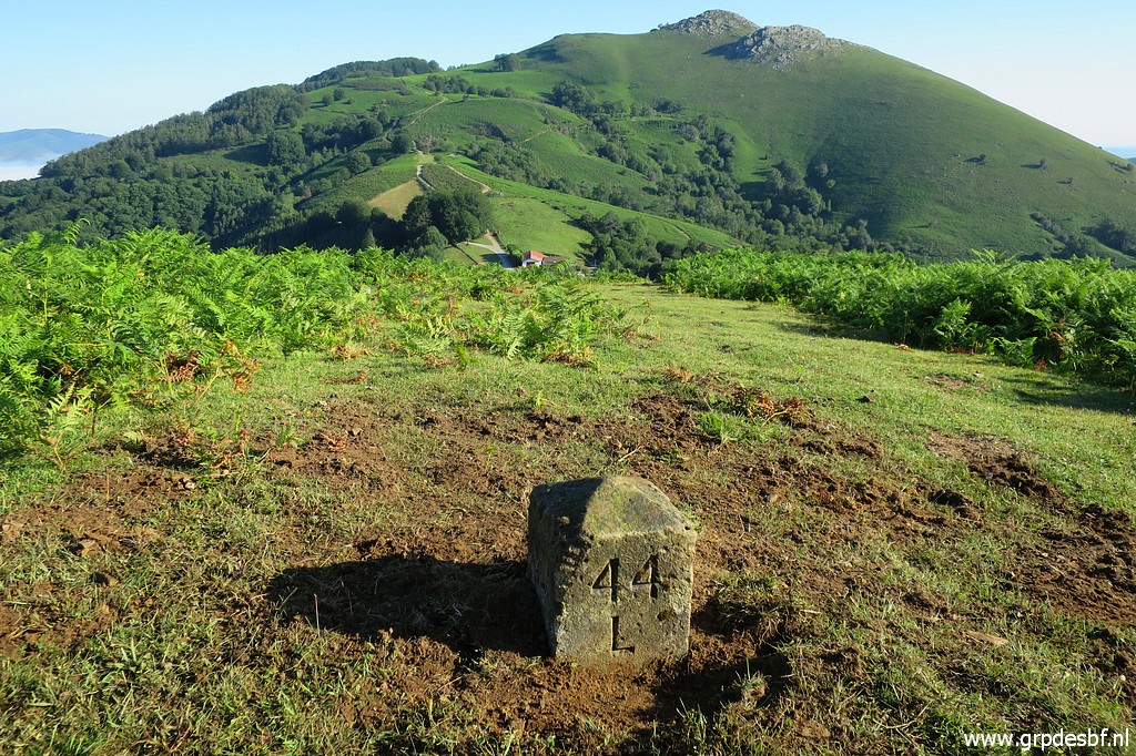 | I am very satisfied and proud of myself. But then I realize that I put the marker the wrong way: the 44L sign has to be in the direction of bm045 with the F and E in their correct positions: F towards France and E towards Spain. (click photo to enlarge) |
 | So undigging the marker and rotating the 44L sign in the direction of bm045. Now the F (click photo to enlarge) |
 | is on the correct side. (click photo to enlarge) |
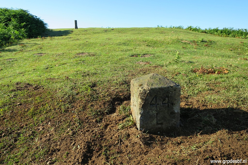 | Bm044L, now in perfect position. (click photo to enlarge) |
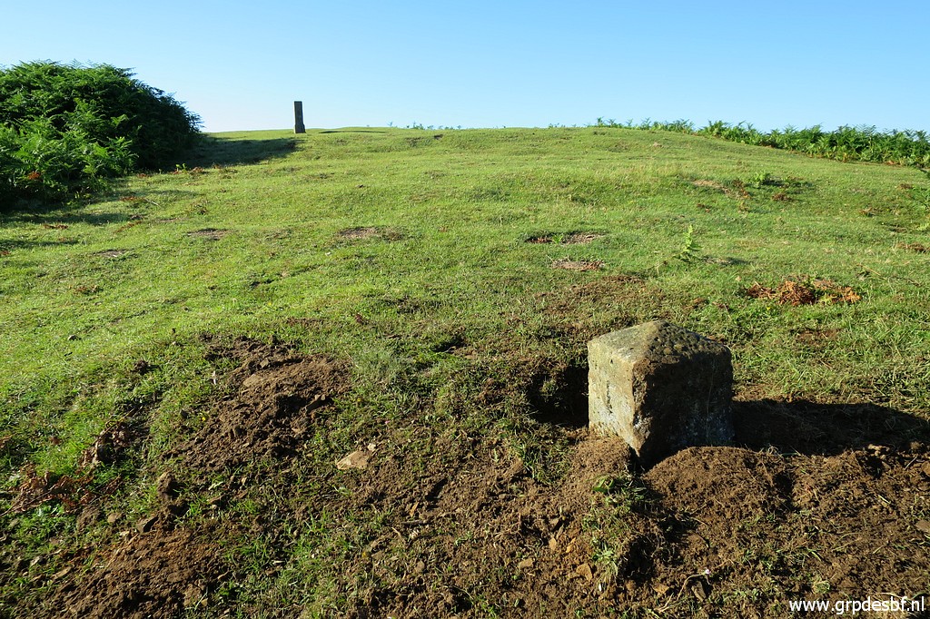
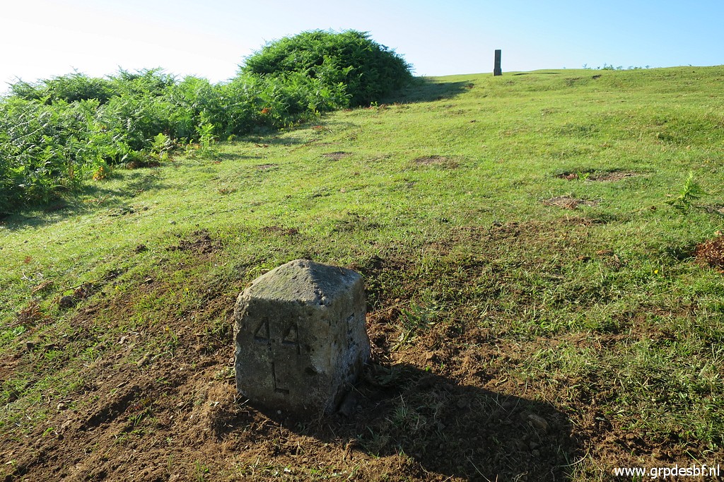 | Bm044L (click photo to enlarge) |
 | Bm044L, looking back to bm044K (click photo to enlarge) |
 | Bm044K (click photo to enlarge) I am contented and return to my car. Both jobs tooks me 2 hours to do. Then I drive via Spain to Col d'Ibardin for my second trip. |
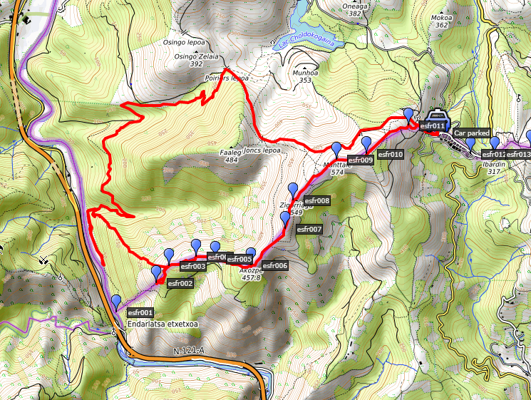 track-20200623.kml (click to open this trip in Google Earth or copy link to Google Maps; click right on this link to download gpx-version). The gps-track has not been manually corrected which explains the inaccuracy and misalignment at some points. For cartographic backgrounds: see the cartography-page Gps-waypoints of all bordermarkers (most recent version): kml: esfr-bordermarkers-all-waypoints.kml gpx: esfr-bordermarkers-all-waypoints.gpx (with elevation added by gpsvisualizer.com) |
|
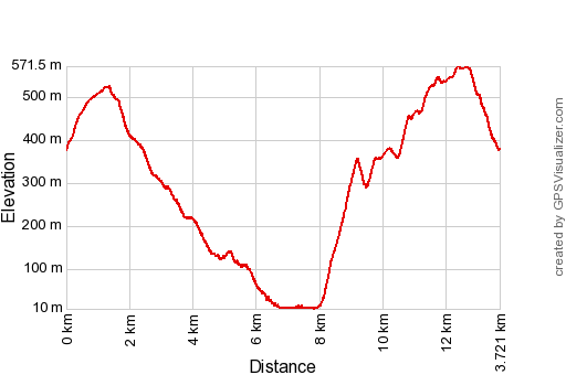 |
According to Garmin
Basecamp (uncorrected track): Distance: 14,5 km Max-height: 568m Min-height: 1m Elevation: +855m -840m Total elevation: 1695m Start 10:05 Finish 17:03 Total time: 6:58 |
| Door - via Spanje - naar
Col d'Ibardin, kopje koffie + croissant en daarna een rondwandeling
gemaakt. Eerst via de GR10 naar onderen, later een gele en andere
rood-witte route die me langs die laatste boerderij brengen en zo tot
bijna bij de Bidoassa. Ik probeer nog de rood-witte route door het
weiland dat grotendeels is overgenomen door de varens, vooral het
laatste stuk tot aan het bos langs de oever: manshoog. Ga weer terug om
de steile gele route naar boven te nemen. Dat valt me zwaar, moet
onderweg een tijdje rusten en drinken. Het is erg heet en ik ben wat
bang voor de warmtestuwing die ik ooit bij Le Perthus. Heel kalm verder
en ik kom bij 003 uit. Eerst nog 002 doen en daarna een uur pauzeren
met koffie en zo. Dan over de crête (die golvend klimt) terug naar Col
d'Ibardin. Onderweg geweest van 10 tot 17, ik ben plakkerig en moe. Wat
boodschappen in een venta (mondkapje) en terug naar de camping. |
|
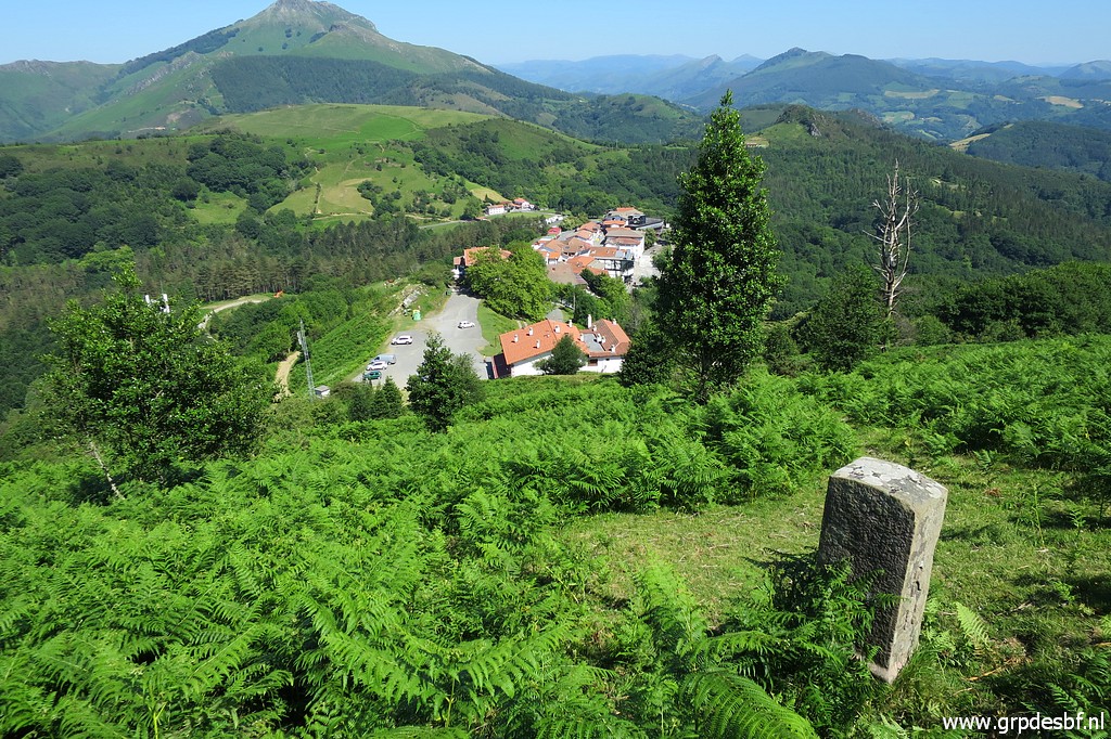
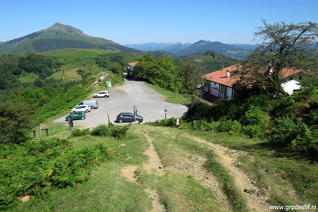
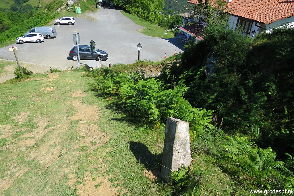
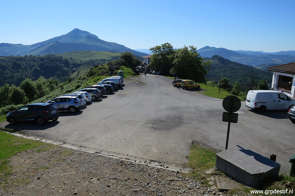 | I
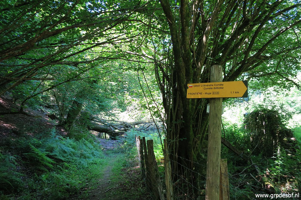
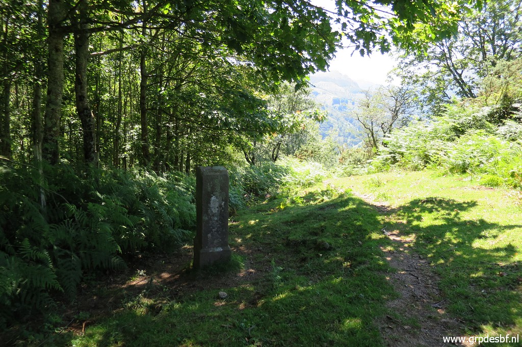
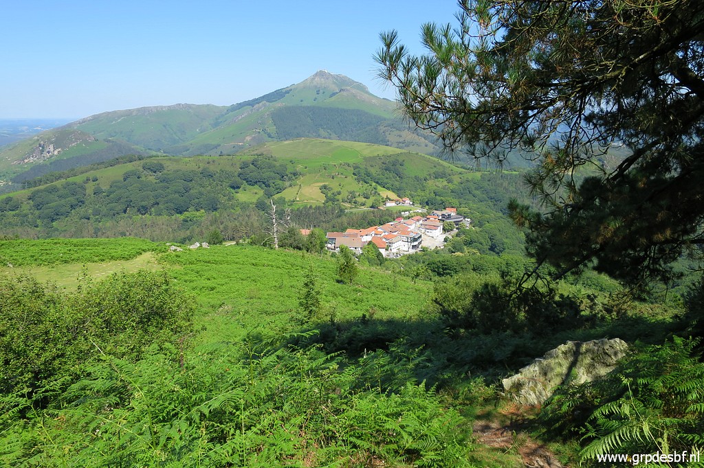
park my car at Col d'Ibardin and enjoy a coffee and croissant at a terrace. Then I pick up the GR10-trail. I want to descend easily to the Bidasoa-river, climb to bm002 and then walk back to Col d'Ibardin. This picture: at the far western side of Col d'Ibardin, looking back. In the background the hilltop of La Rhune. (click photo to enlarge) |
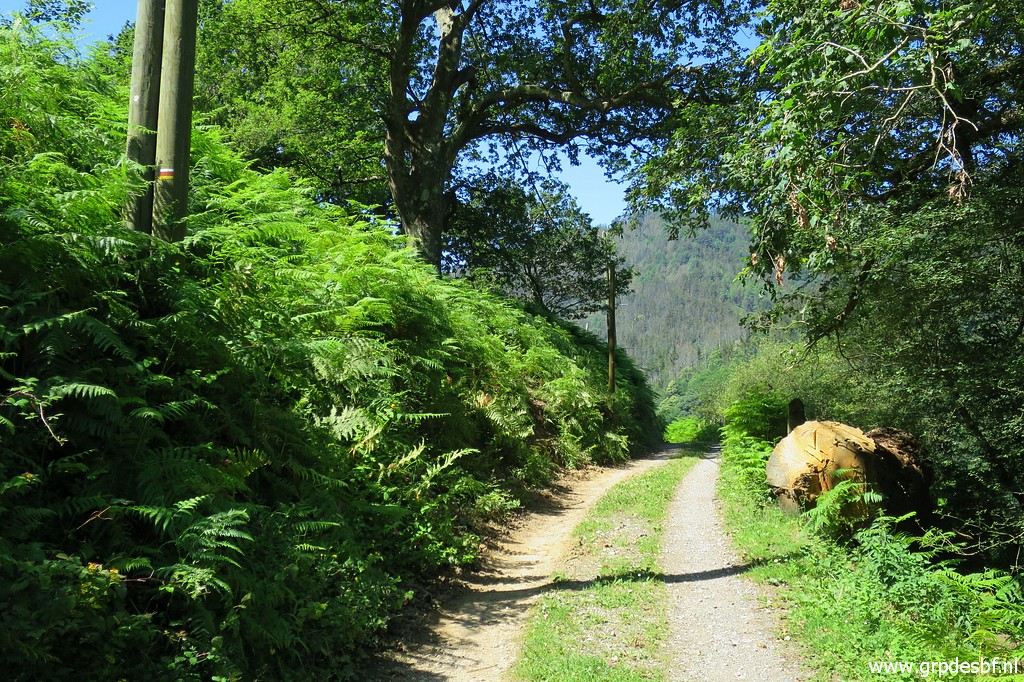
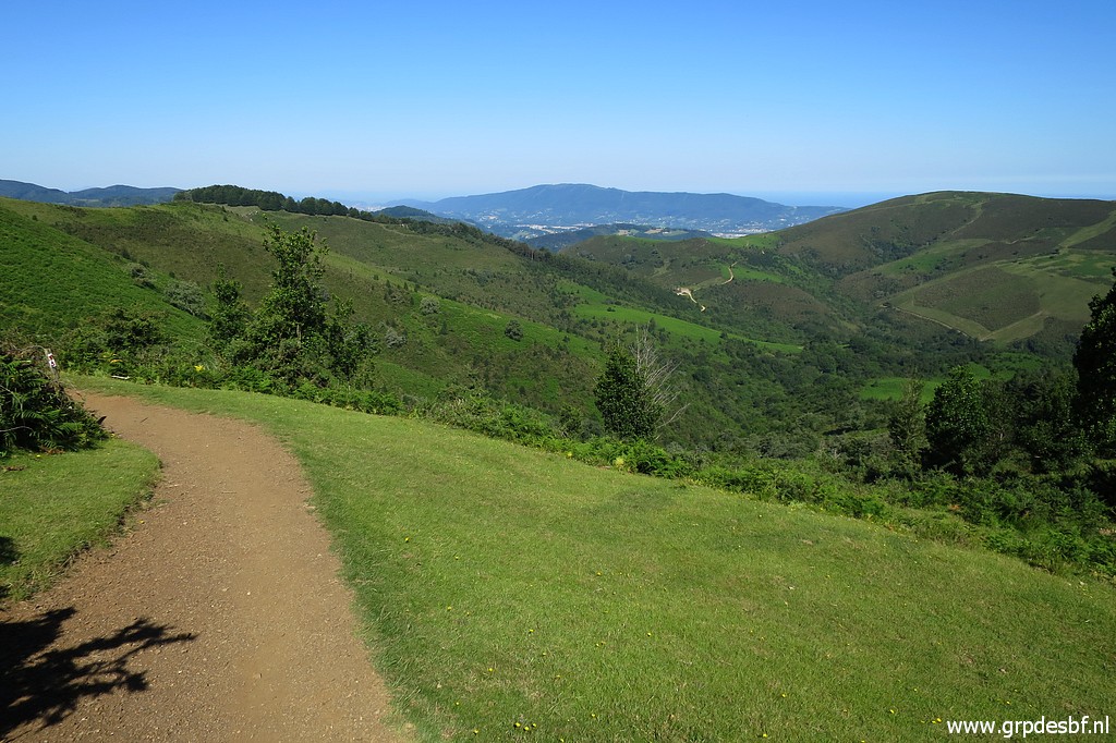 | It's a nice part of the GR10, in fact the first stage of it from Hendaye to Col d'Ibardin. (click photo to enlarge) |
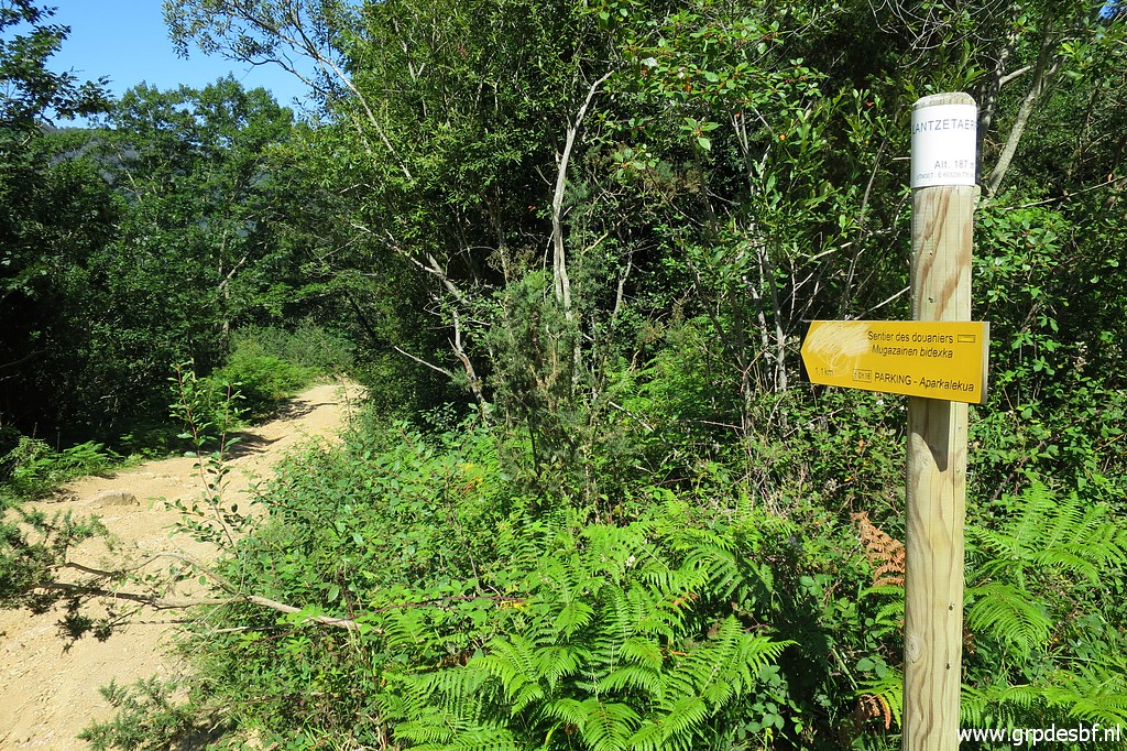 | Later on I switch to a local waymarked trail: the sentier des douaniers, (click photo to enlarge) |
 | which finally arrives at the road from Hendaye via Biriatou to the last farmhouse. Note the red-white waymarks: this is not the GR10 but another GR. (click photo to enlarge) |
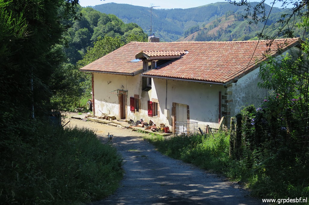 | The last farmhouse. Beyond it (click photo to enlarge) |
 | the waymarked trail (red-white and yellow) continues and descends (click photo to enlarge) |
 | to this sharp bend in the trail. Jan-Willem Doomen and I camped here on: (click photo to enlarge) |
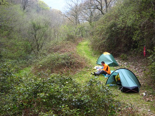 |
1 april 2009 |
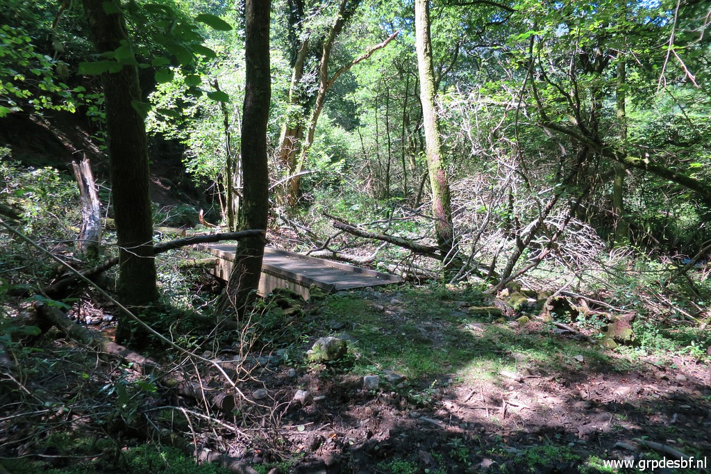 | The trail descends gently further untill this footbridge (click photo to enlarge) |
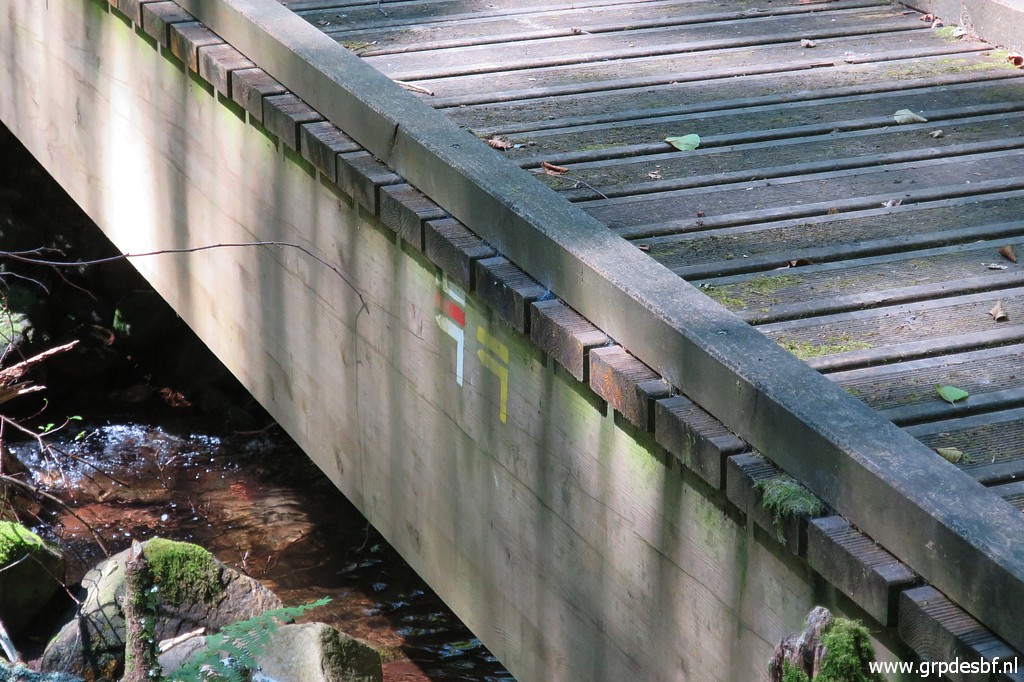 | after which the trail continues at the other side of the stream. (click photo to enlarge) |
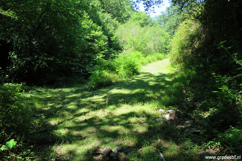
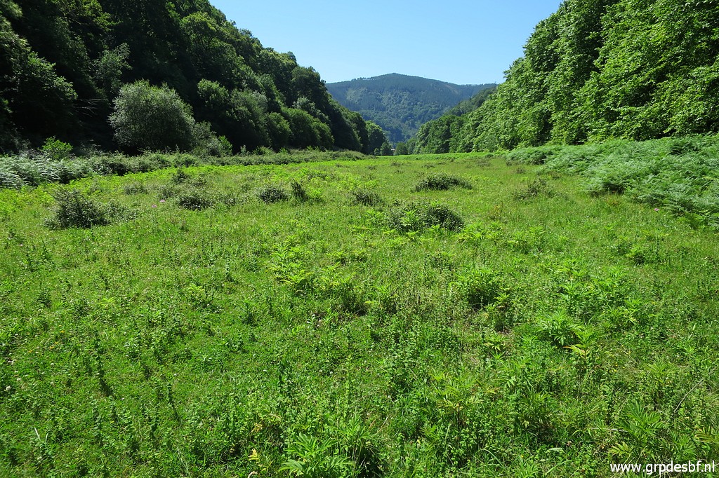
 | Arriving at the meadows near the Bidasoa-river. Now the waymarks part: the red-white route will enter the meadow and go after a curve south - parallel to the river - in the direction of bm001. The yellow route climbs steeply to bm003. (click photo to enlarge) |
 | First I do a reconnaissance of the red-white trail through the meadow. (click photo to enlarge) |
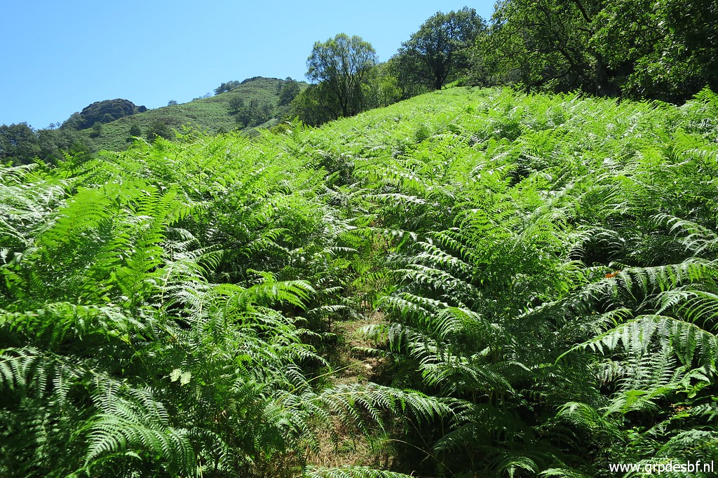
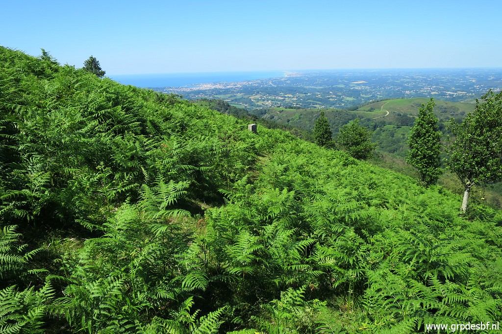
 | As
many meadows in the Pyrenees experience in the last decade: the lack of
grazing cattle gives fern the opportunity to take over. This picture: looking south, towards the end of the meadow. The trail is hardly waymarked. (click photo to enlarge) |
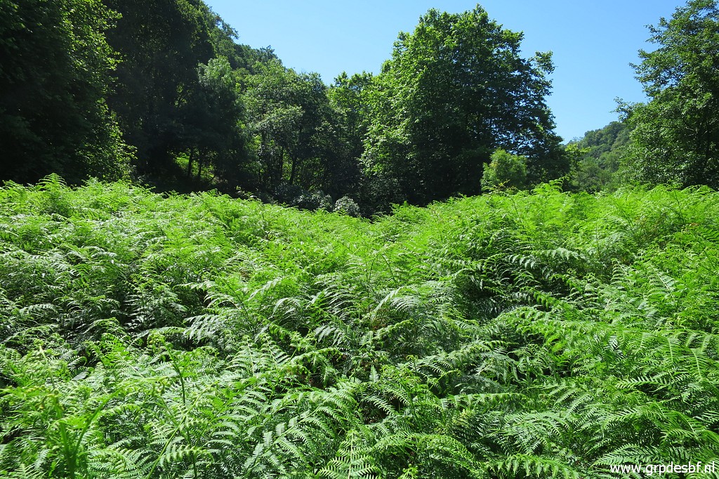 | Approaching the end of the meadow, the fern is now men's high. (click photo to enlarge) |
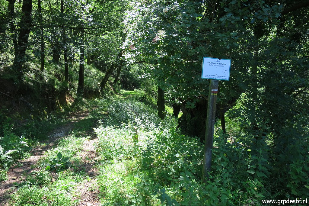
 | At the end of the meadow the trail enters the forest along the river (click photo to enlarge) |
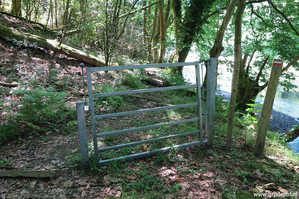 | through this gate. The red-white waymarks reappear. I return through the meadow (click photo to enlarge) |
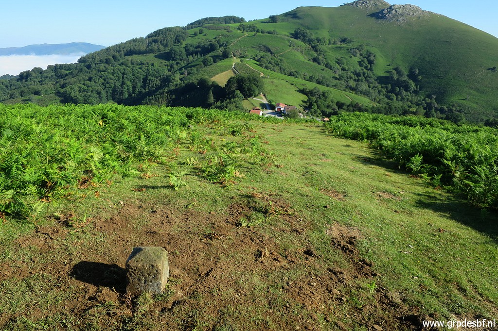
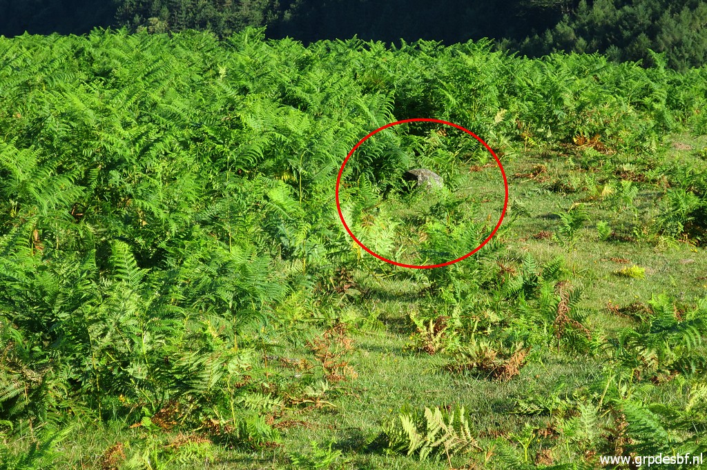
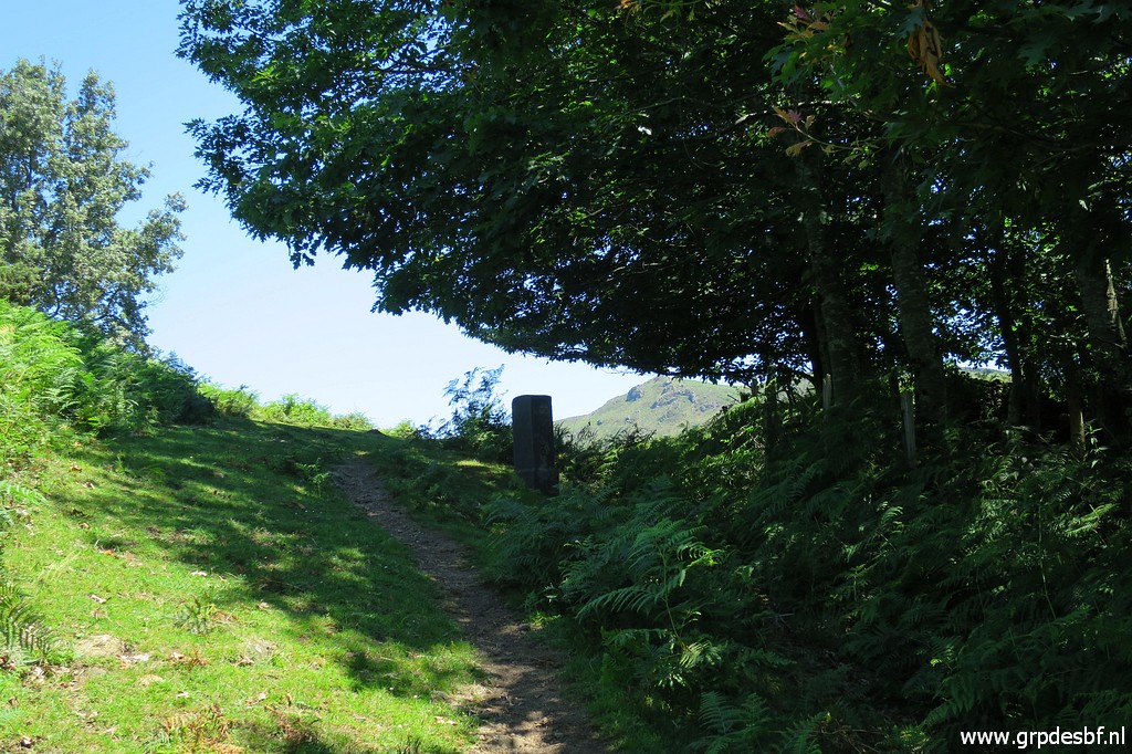
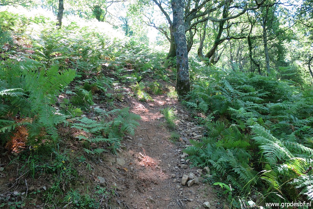 | and start climbing the steep yellow waymarked trail to bm003 which is a 300m ascent. (click photo to enlarge) |
 | Parts of it are covered with fern. The trail is steep and it is very hot. I have to stop and rest for a while in the shade, a bit afraid for the heatstroke I experienced on 12-7-2019 near Le Perthus in the Pyrénées Orientales. (click photo to enlarge) |
 | A view back. (click photo to enlarge) |
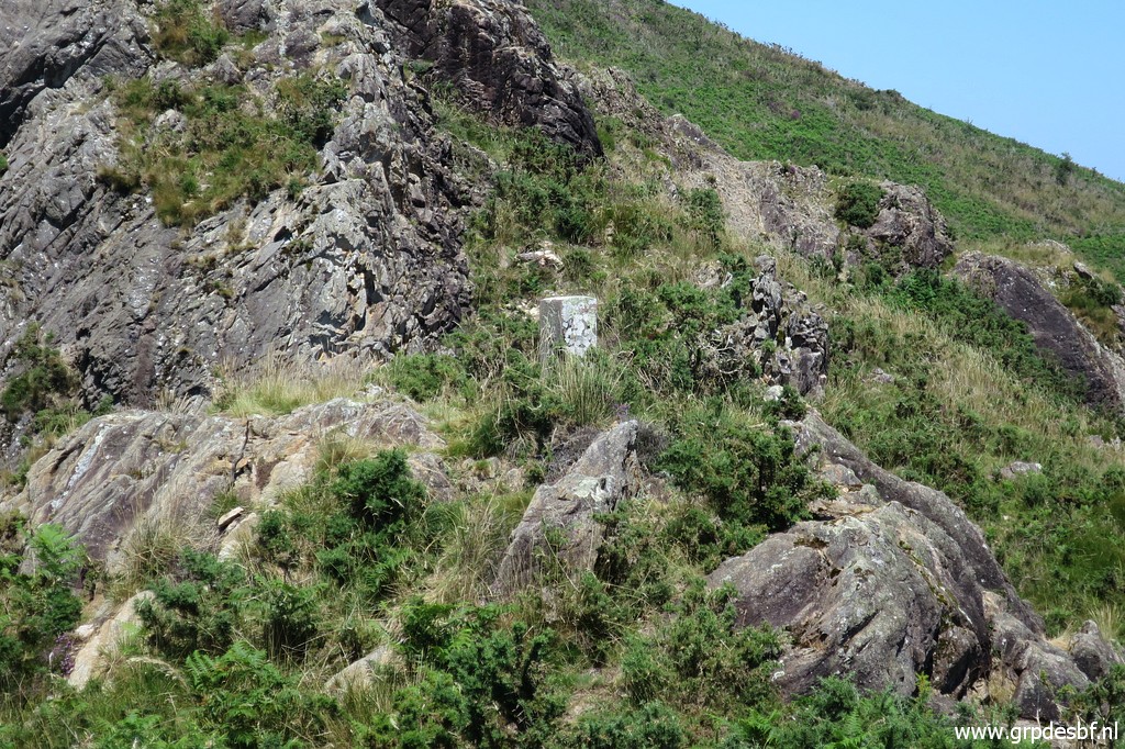
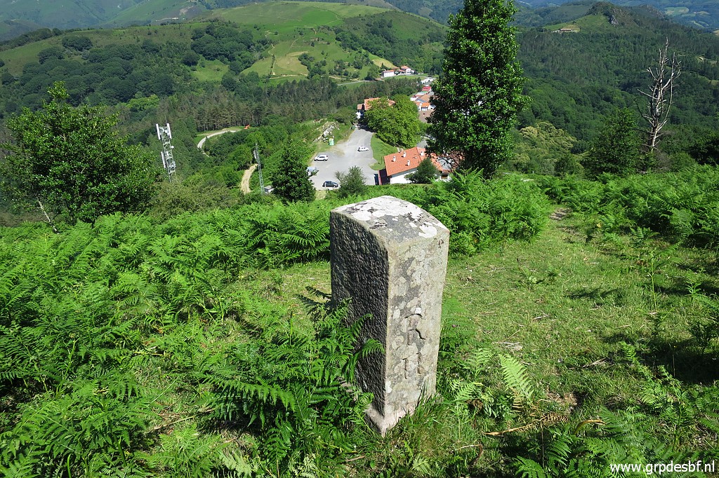
 | Then I arrive at the hillridge with bm003. (click photo to enlarge) |
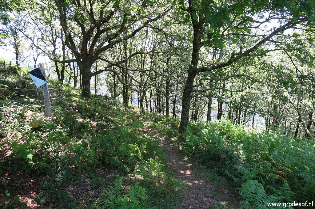 | But first I want to do bm002 before taking a break. That means descending through the forest (click photo to enlarge) |
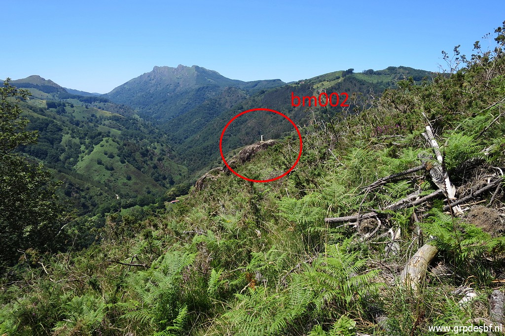 | to the open hillside and spot bm002 to the right. (click photo to enlarge) |
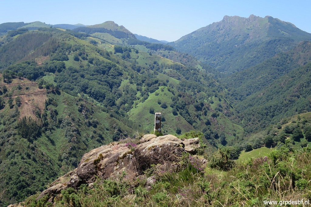 | Bm002 (click photo to enlarge) |
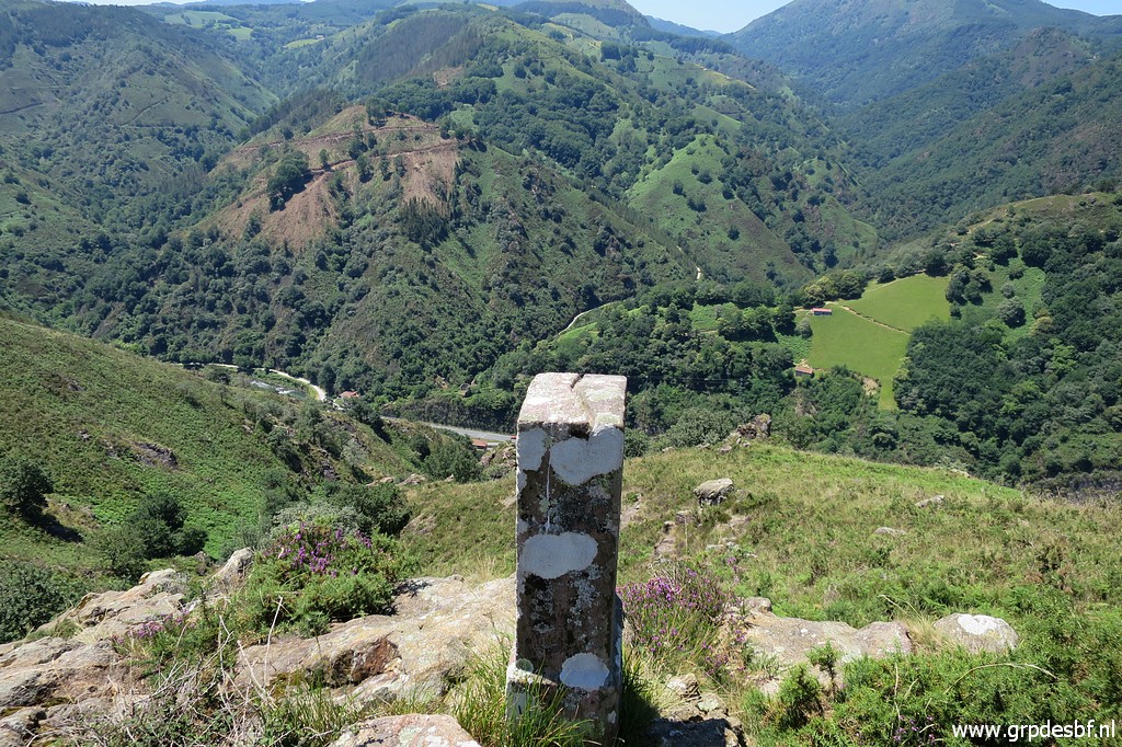 | Bm002 (click photo to enlarge) |
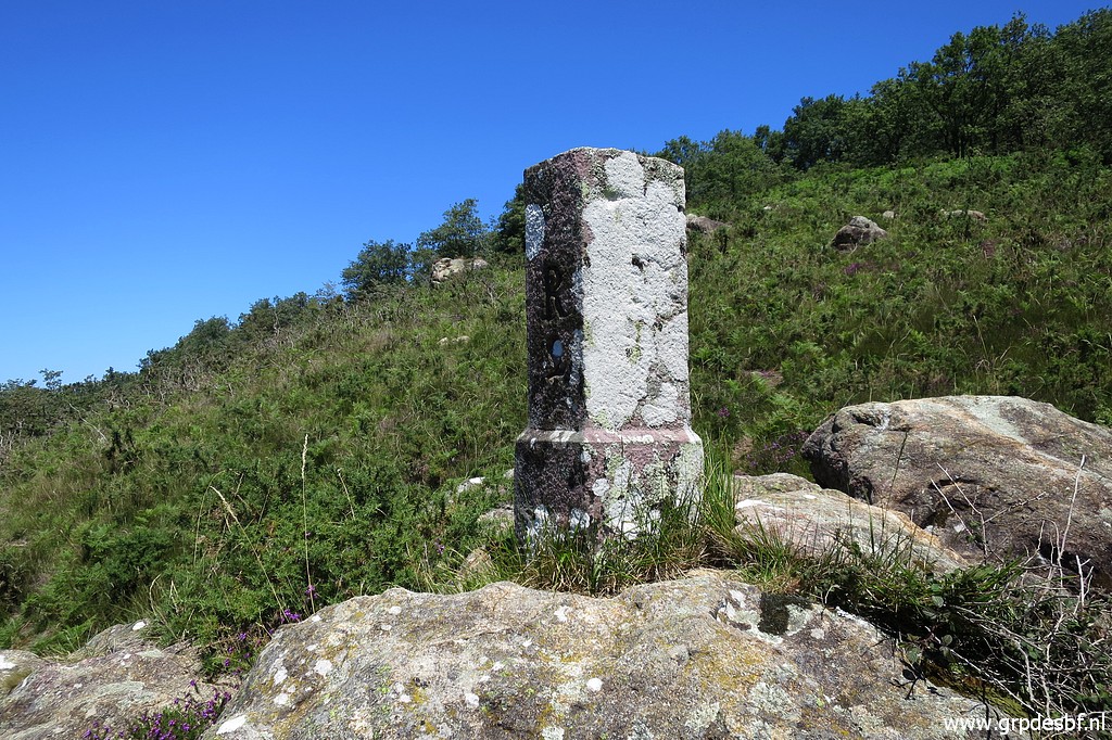 | Bm002 (click photo to enlarge) |
There are several crosses on the rocks around it. This compilation of picture shows them: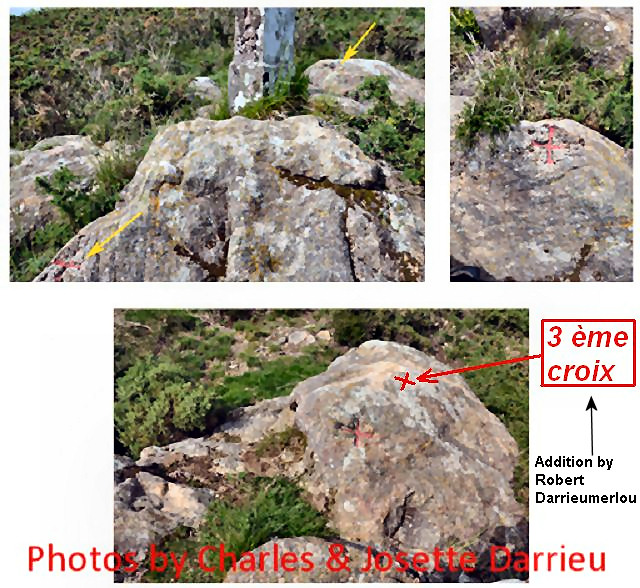 |
|
 | Bm002 I could't find the cross at the foot of the rock because I couldn't get close enough due to the undergrowth. (click photo to enlarge) |
 | Bm002 But the other two are easy to find. You can spot one on the rock in the background. (click photo to enlarge) |
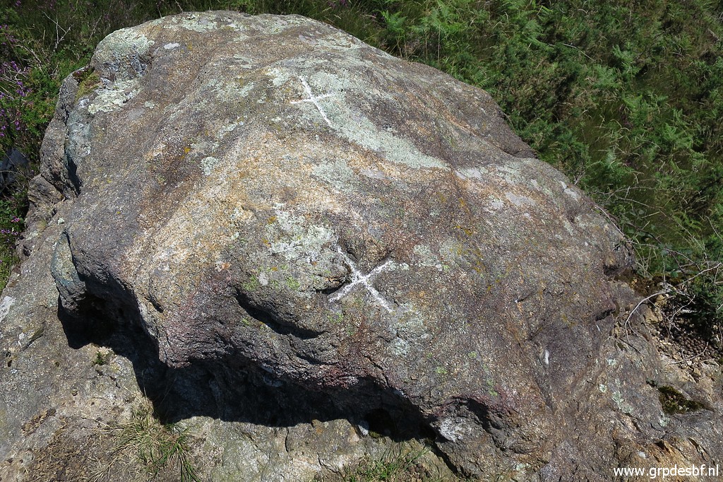 | That's this one with another one on top of the rock. (click photo to enlarge) |
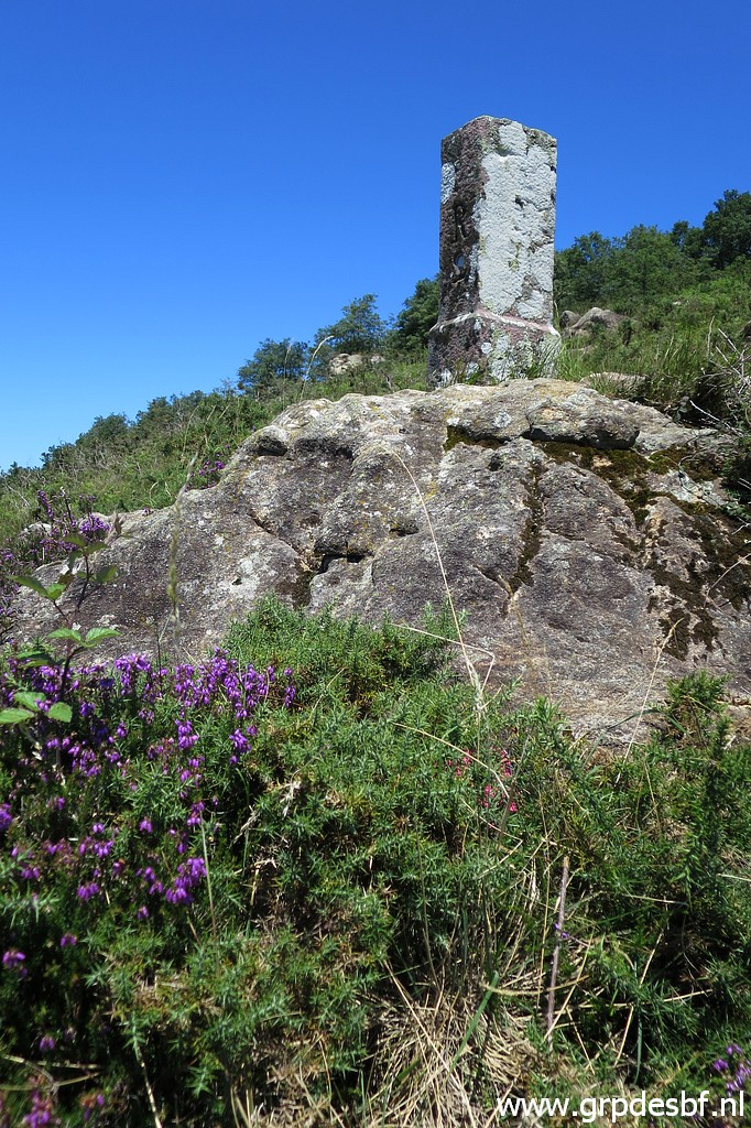
 | Bm002 with those 2 crosses, seen from above. (click photo to enlarge) |
 | I return to bm003. (click photo to enlarge) |
 | Bm003 (click photo to enlarge) |
 | Bm003 (click photo to enlarge) |
 | Bm003 Time to take a break for an hour: coffee, crackers, taking notes, resting. (click photo to enlarge) |
 | Then going on, a last view back to bm003. (click photo to enlarge) |
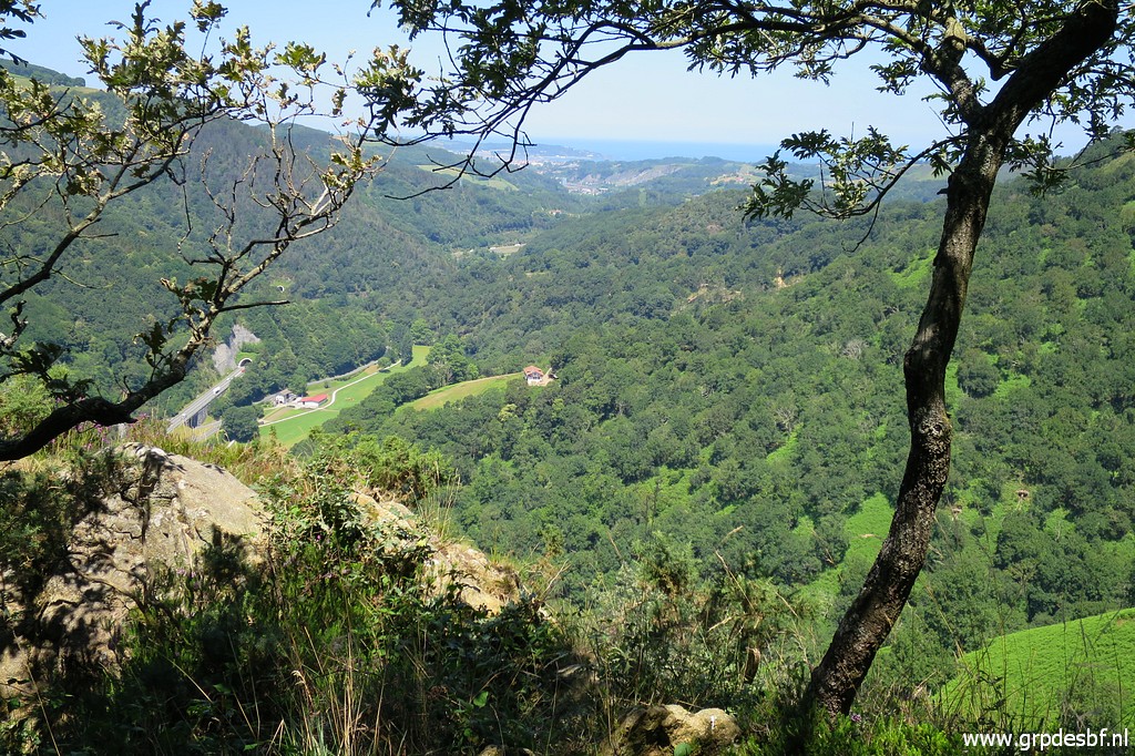
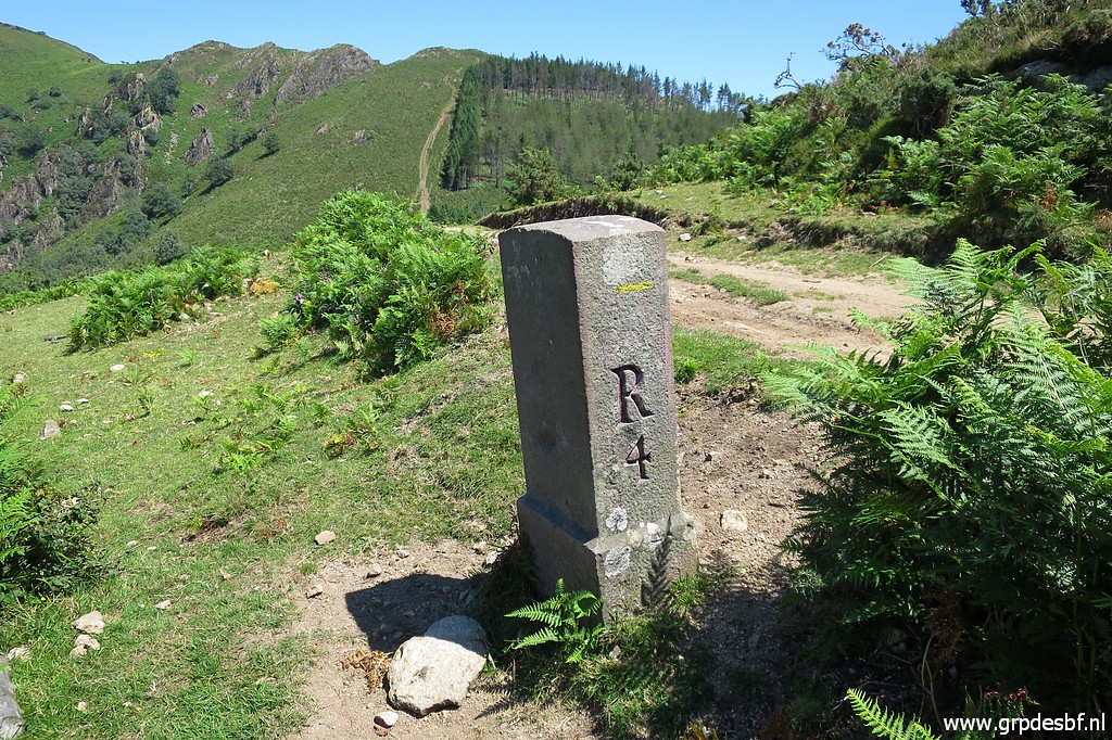
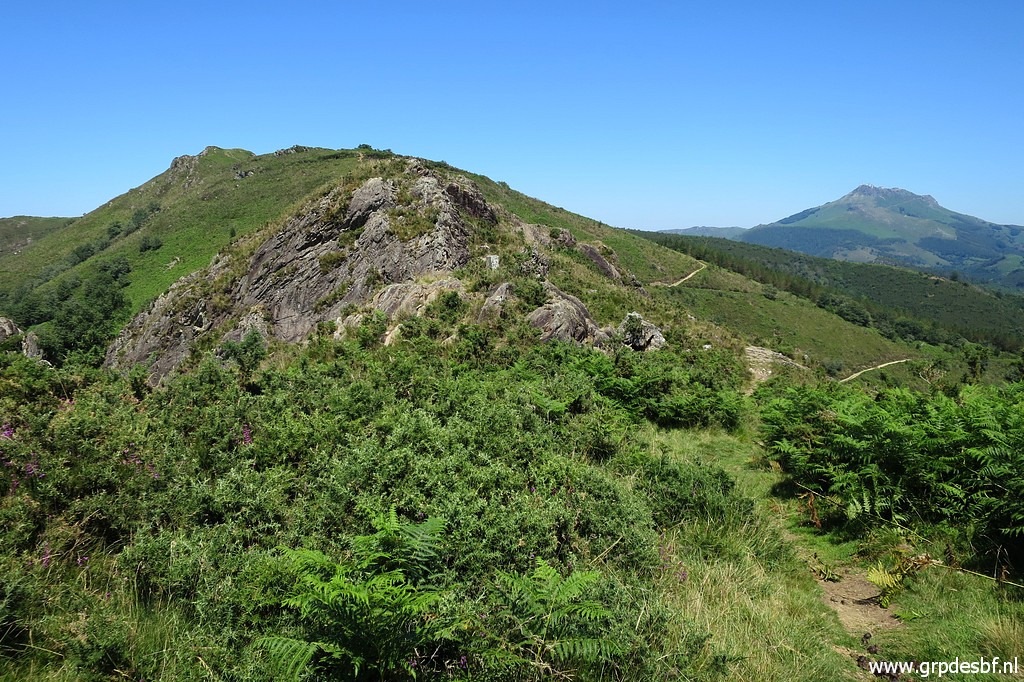
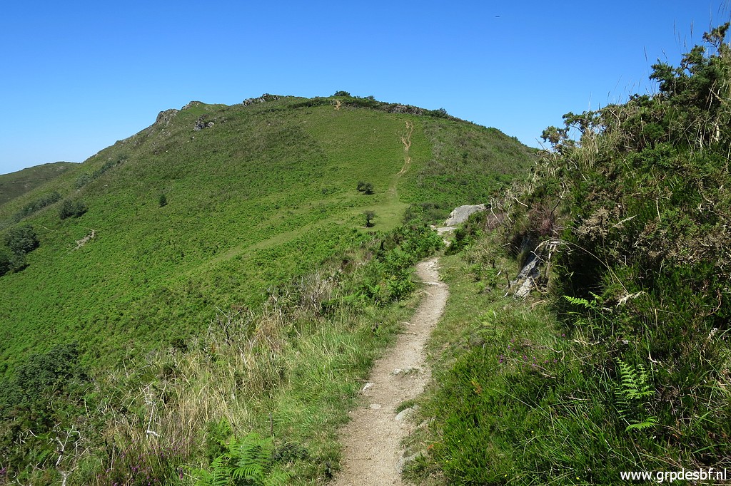
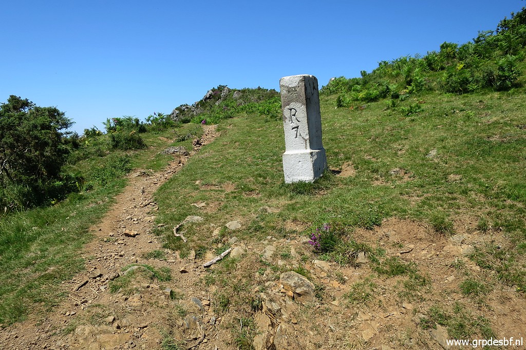
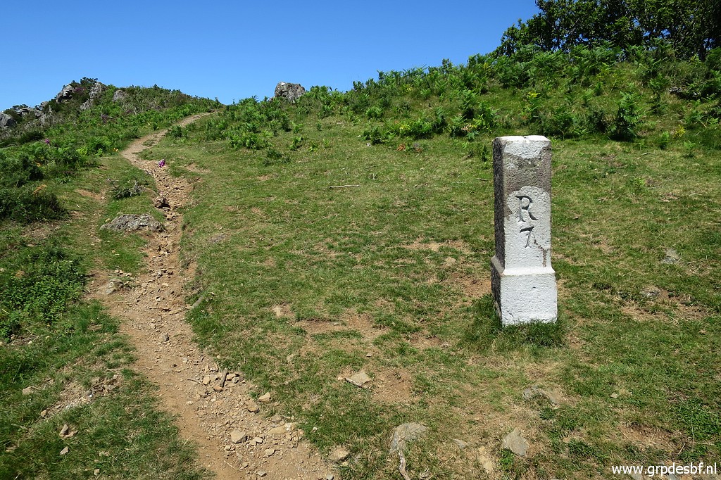
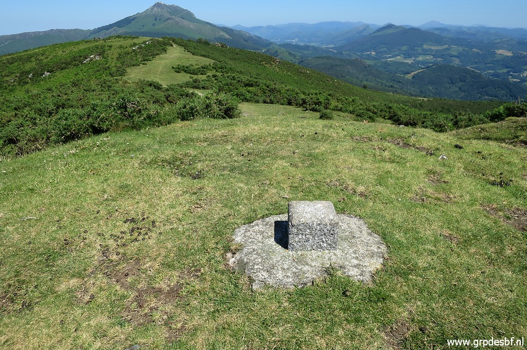
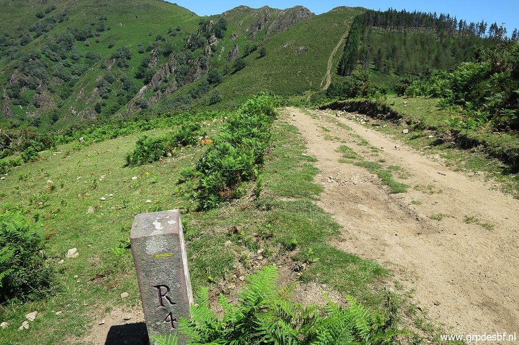 | Navigation is easy: just follow the hillridge going E-NE towards Col d'Ibardin. But in its undulating elevation not to be underestimated. This is bm004. (click photo to enlarge) |
 | Bm004 (click photo to enlarge) |
 | Bm005 is downhill at the 'pass' ahead. (click photo to enlarge) |
 | Bm005 (click photo to enlarge) |
 | Bm005 (click photo to enlarge) |
 | Bm005 (click photo to enlarge) |
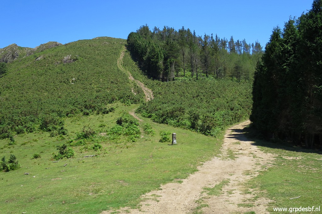
 | Having climbed again and procedeing towards a rocky part of the ridge (click photo to enlarge) |
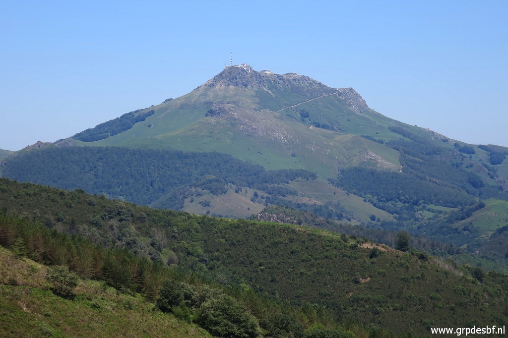 | with this view to La Rhune. (click photo to enlarge) |
 | Bm006 (click photo to enlarge) |
 | Bm006 (click photo to enlarge) |
 | Bm006 (click photo to enlarge) |
 | Bm006 (click photo to enlarge) |
 | Continuing on the trail (click photo to enlarge) |
 | to bm007. (click photo to enlarge) |
 | Bm007 (click photo to enlarge) |
 | Bm007 (click photo to enlarge) |
 | Bm007 (click photo to enlarge) |
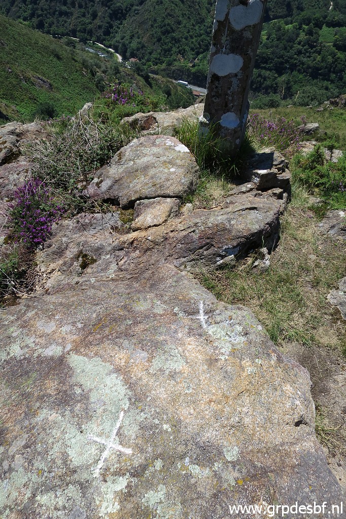
 | Bm007 with a cross on the rock in front. (click photo to enlarge) |
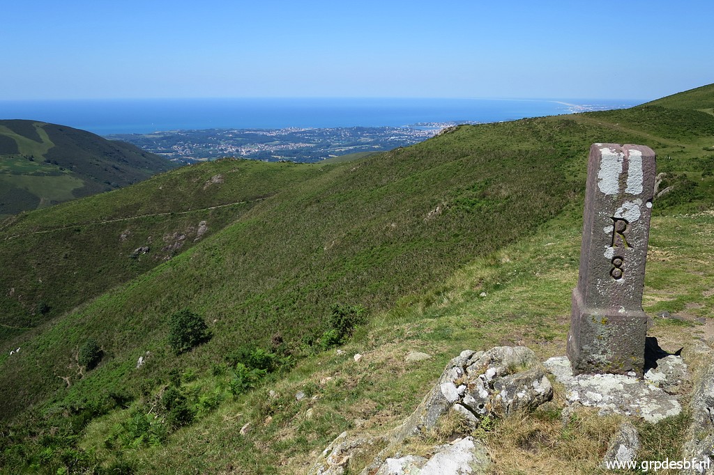
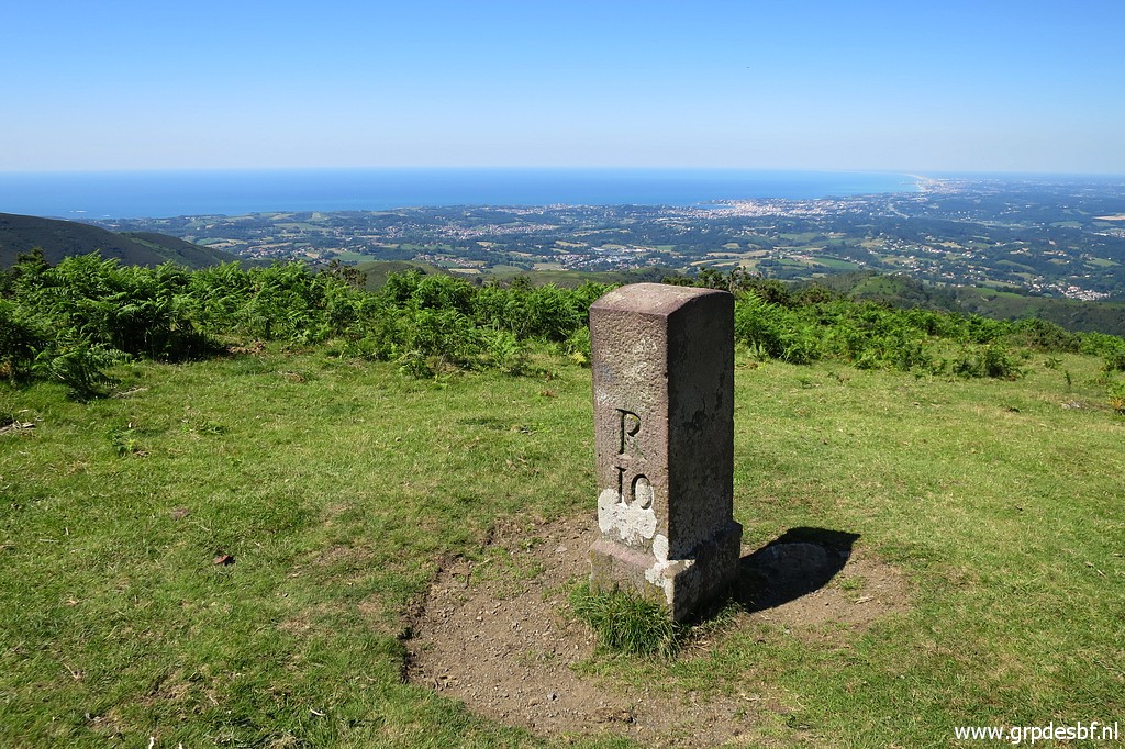
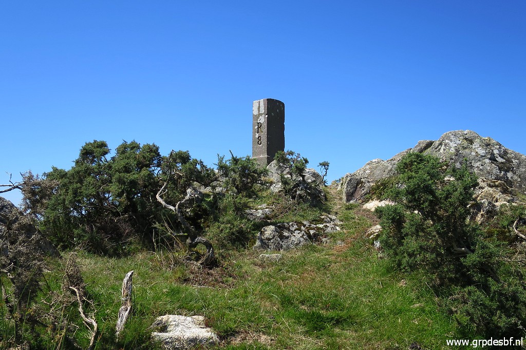 | Further on - on a hilltop - bm008. (click photo to enlarge) |
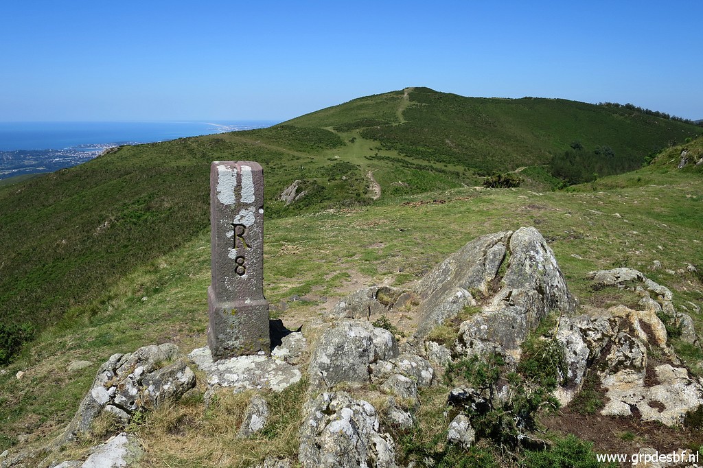
 | Bm008, in the background the sea. (click photo to enlarge) |
 | Bm008 (click photo to enlarge) |
 | Bm008 (click photo to enlarge) |
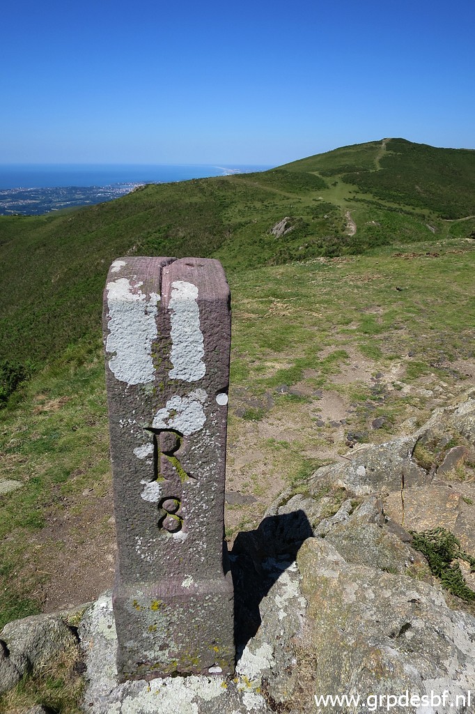 | Bm008, note the groove on top, indicating the borderline. (click photo to enlarge) |
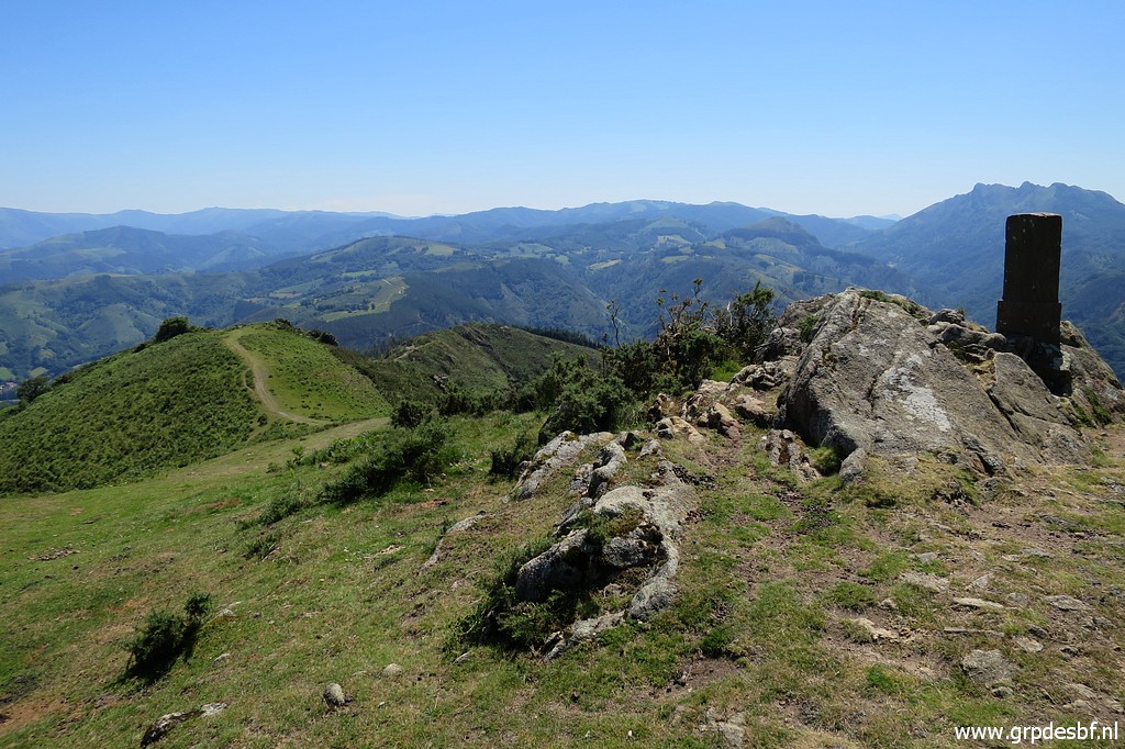 | Bm008, a view back. (click photo to enlarge) |
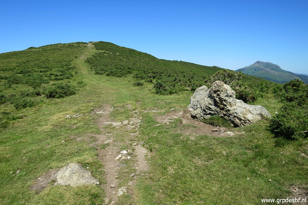 | Continuing to (click photo to enlarge) |
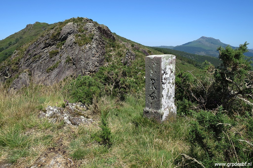
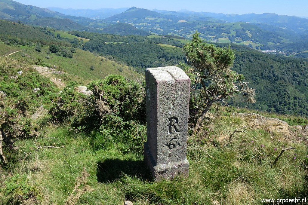
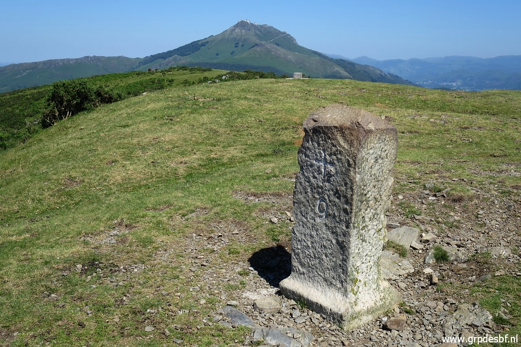
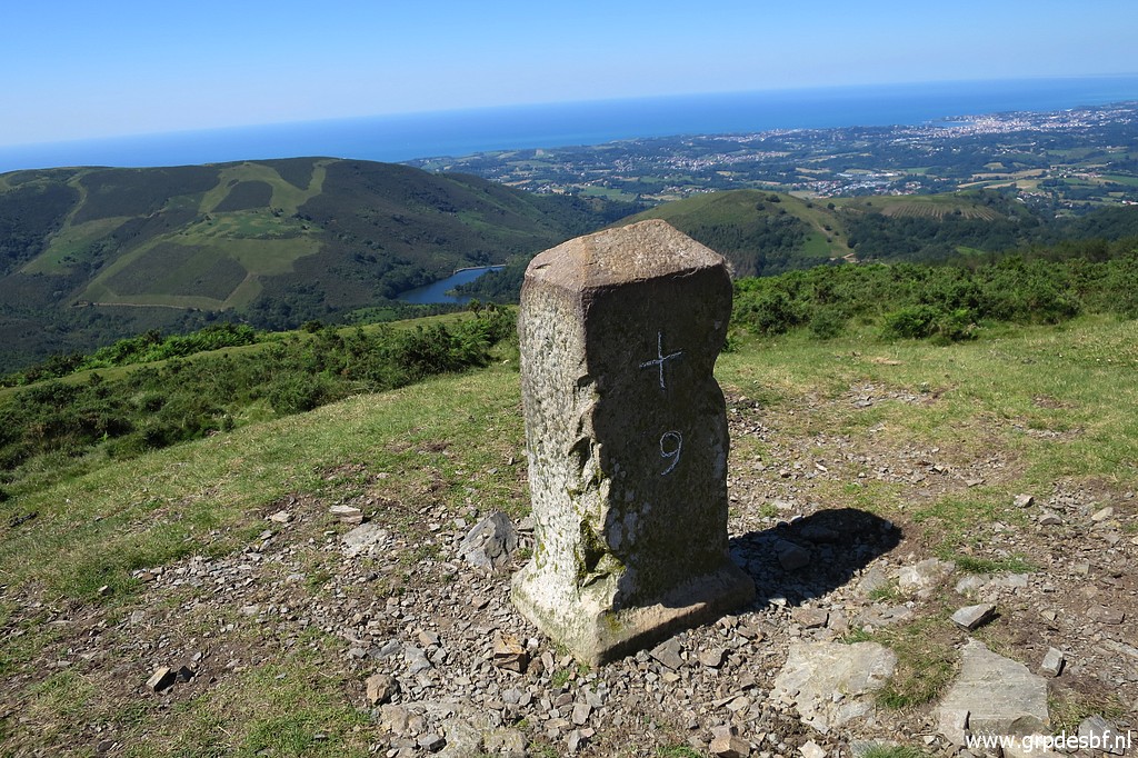 | bm009 which a atypical. Must have been a replacement of a lost original marker. (click photo to enlarge) |
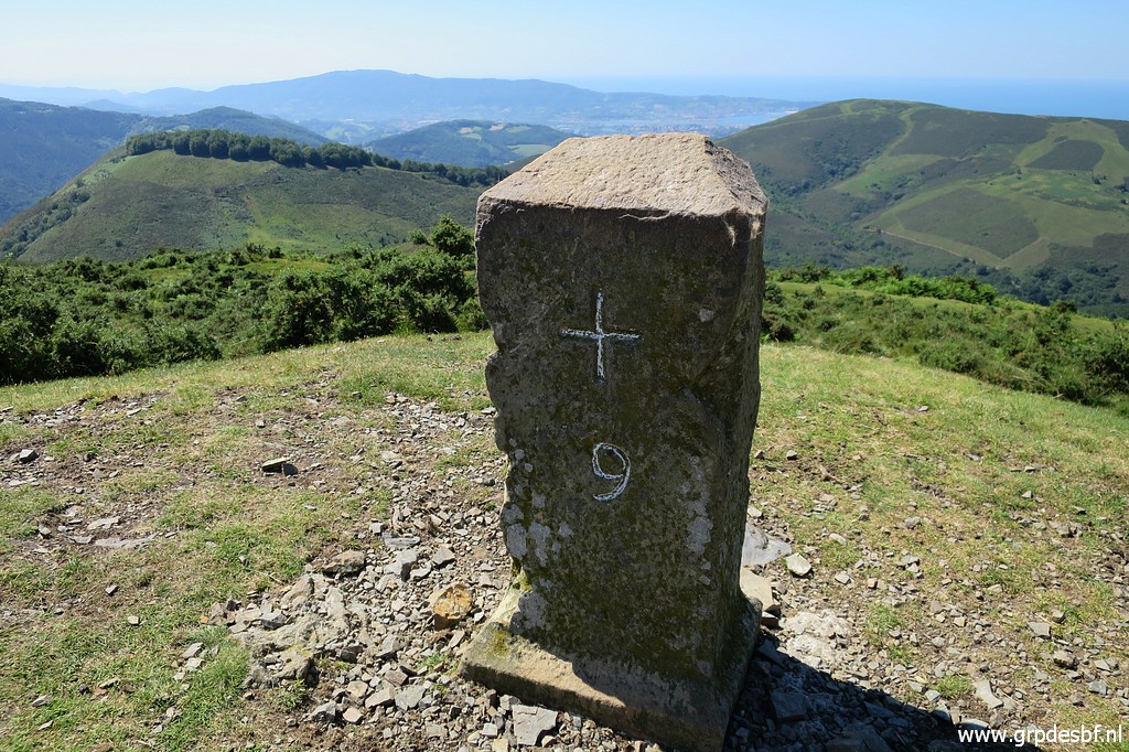 | Bm009 (click photo to enlarge) |
 | Bm009 (click photo to enlarge) |
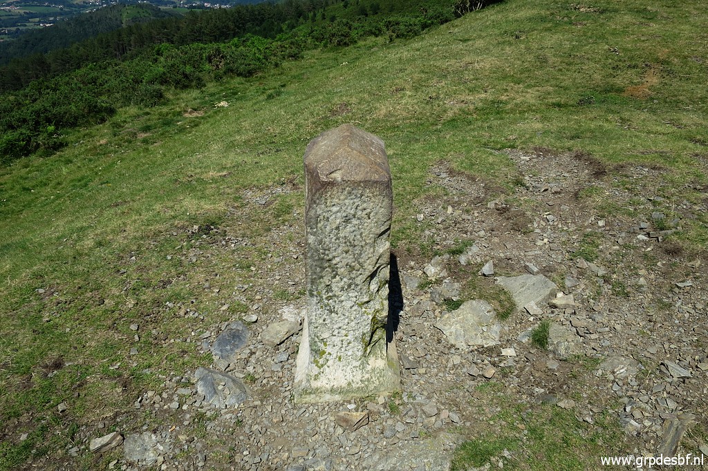 | Bm009 (click photo to enlarge) |
 | Bm009, in the background some (click photo to enlarge) |
 | geodetic marker, I think. (click photo to enlarge) |
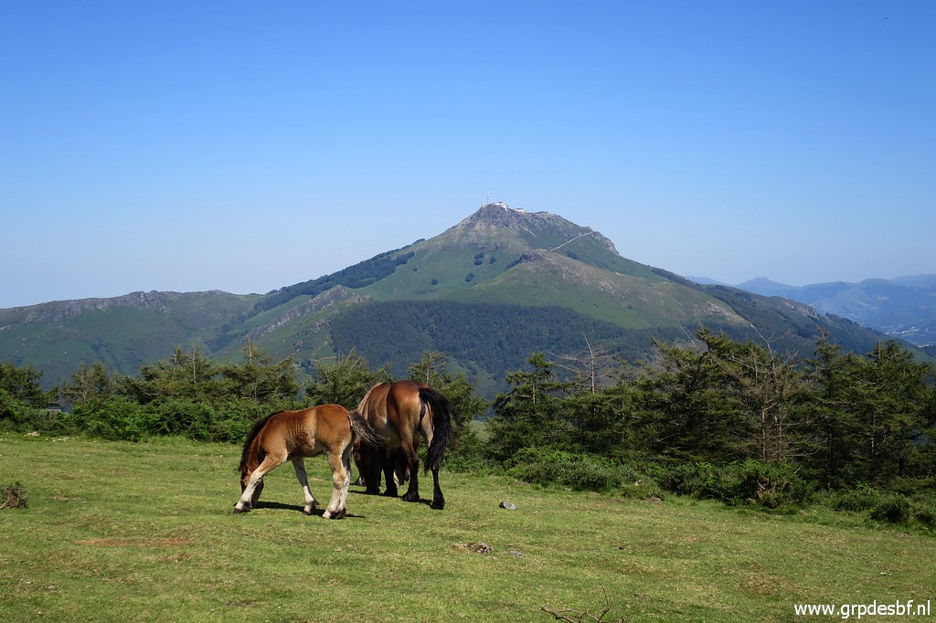 | And the iconic La Rhune keeps drawing the photographer's attention. (click photo to enlarge) |
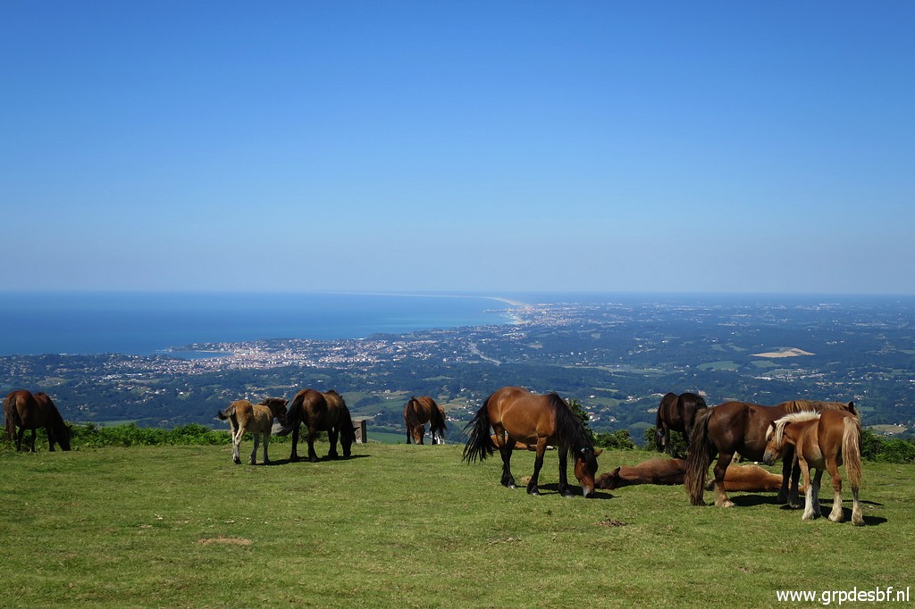 | Bm010, between the horses. (click photo to enlarge) |
 | Bm010 (click photo to enlarge) |
 | Bm010 (click photo to enlarge) |
 | Bm010, Note: no groove on top of it. (click photo to enlarge) |
 | Gradually the trail is descending now and (click photo to enlarge) |
 | Col d'Ibardin comes in sight. (click photo to enlarge) |
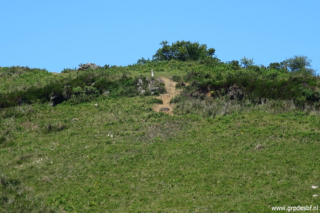
 | Bm011 stands left of the trail in the midst of fern. (click photo to enlarge) |
 | Bm011 (click photo to enlarge) |
 | Bm011 (click photo to enlarge) |
 | Bm011 (click photo to enlarge) |
 | Almost back at the Col d'Ibardin. (click photo to enlarge) |
 | This is an unnumbered marker (click photo to enlarge) |
 | with a cross on top of it. End of my trip, I am tired. I walk back to my car and return to the camping. (click photo to enlarge) |