|
The
bordermarkers of the Pyrenees : all my trips
 |
|
| -
friday 4 september
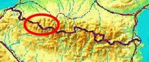
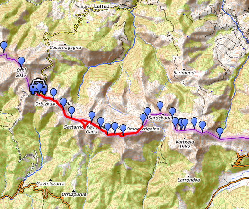
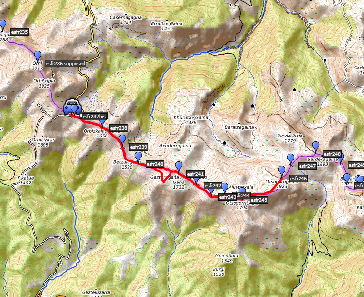
2020 - Doing 237-246 from Port de Larrau |
 |
 |
Summary:
part of a series of 6 daytrips and 1 multiday trip in september 2020 in
the Pyrénées Atlantiques. This is trip 1. Today: from Port de Larrau a hence & forth trip from bm237 to bm246. Weather: splendid, pretty strong wind. |
 track-20200904.kml
(click to open this trip in Google Earth or copy link to Google Maps; click right on this link to download gpx-version). The gps-track has not been manually corrected which explains the inaccuracy and misalignment at some points. For cartographic backgrounds: see the cartography-page Gps-waypoints of all bordermarkers (most recent version): kml: esfr-bordermarkers-all-waypoints.kml gpx: esfr-bordermarkers-all-waypoints.gpx (with elevation added by gpsvisualizer.com) |
|
 |
According to Garmin
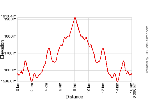
Basecamp (uncorrected track): Distance: 16,1 km Max-height: 1976m Min-height: 1586m Elevation: +908m -905m Total elevation: 1813m Start 9:52 Finish 15:14 Total time: 5:22 |
 | I
have driven throught the night from Holland (departure yesterday at 1pm) to Port de
Larrau, arriving there at 09:30 (about 1400km). I slept a few
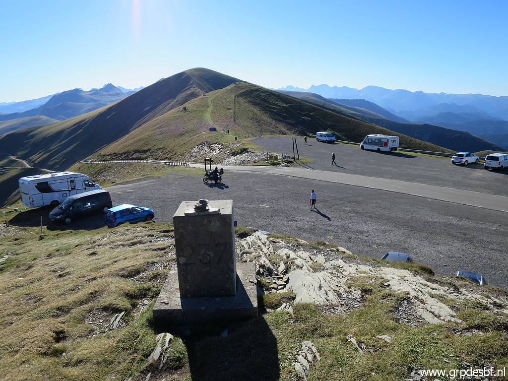
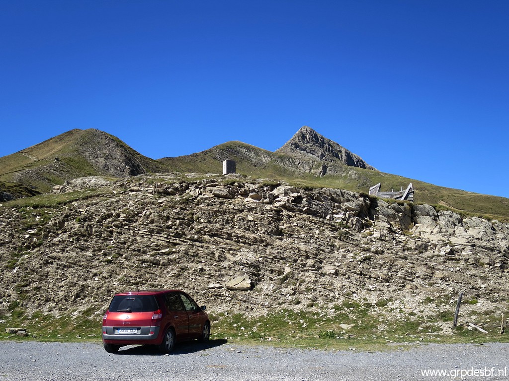
hours in the car. This picture: bm237 is on the hillridge behind the white car. I am going to redo the range bm237-246 because I want to 'do' every bordermarker twice. I did this range 11 years ago on 1-6-2009 and the next day. (click photo to enlarge) |
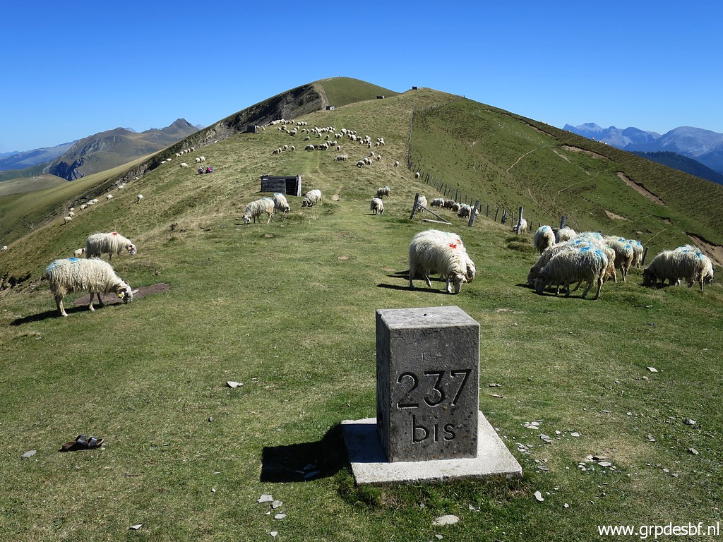
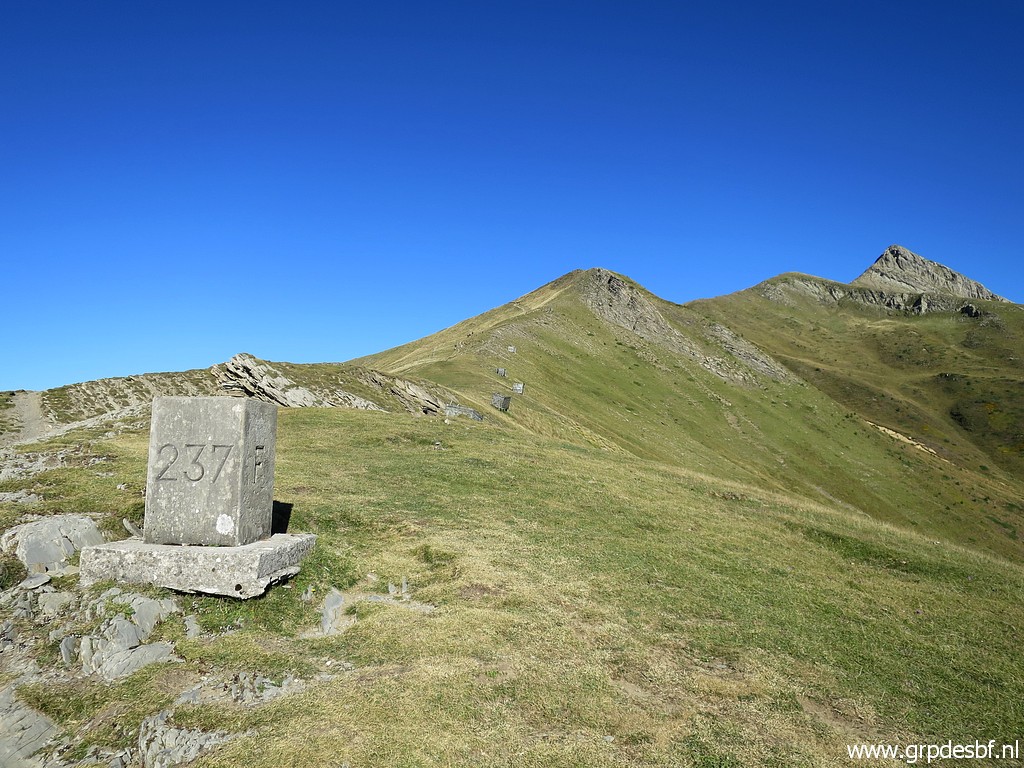 | Starting with bm237. (click photo to enlarge) |
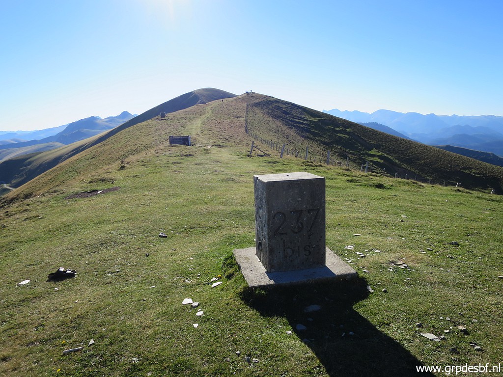
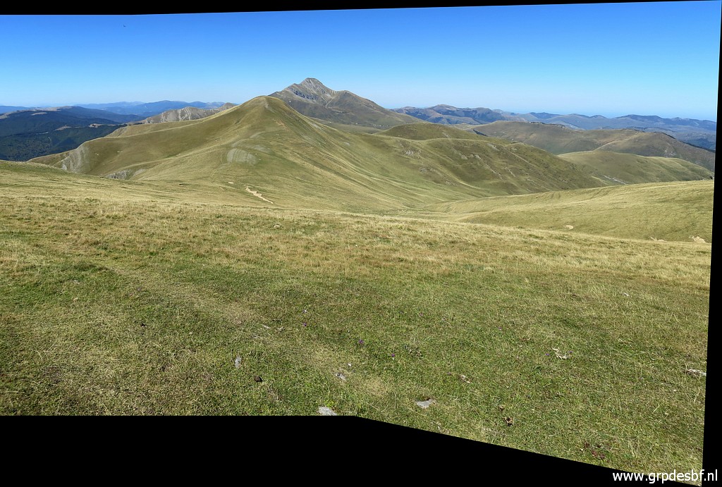
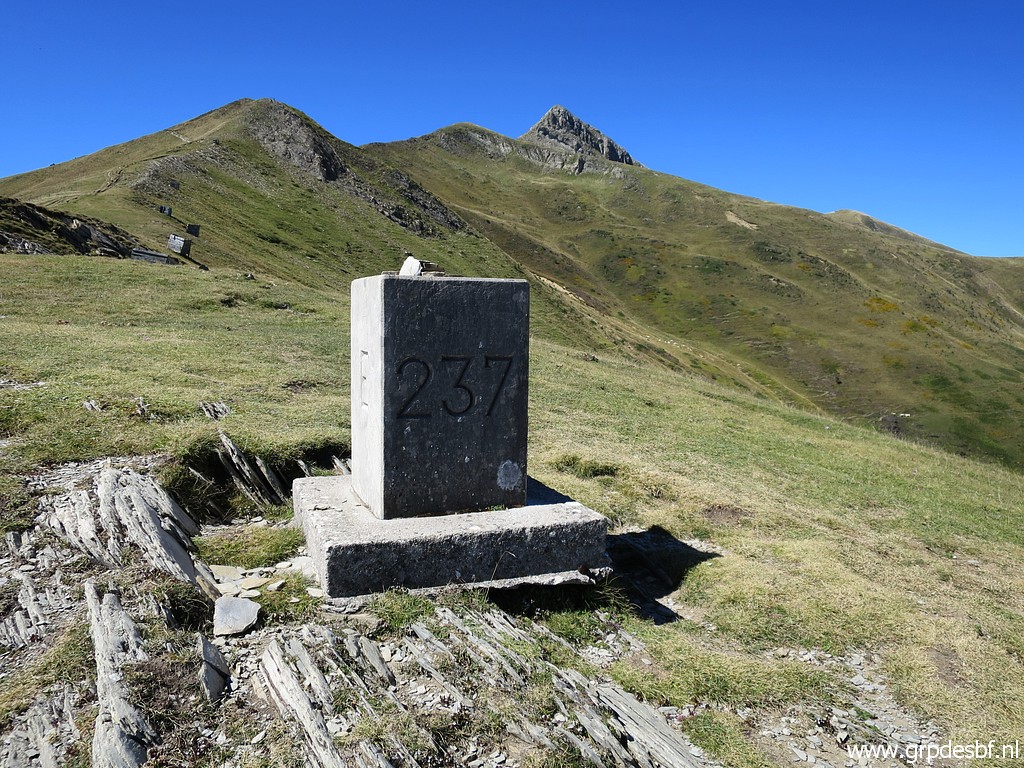
 | Bm237 with a view to (click photo to enlarge) |
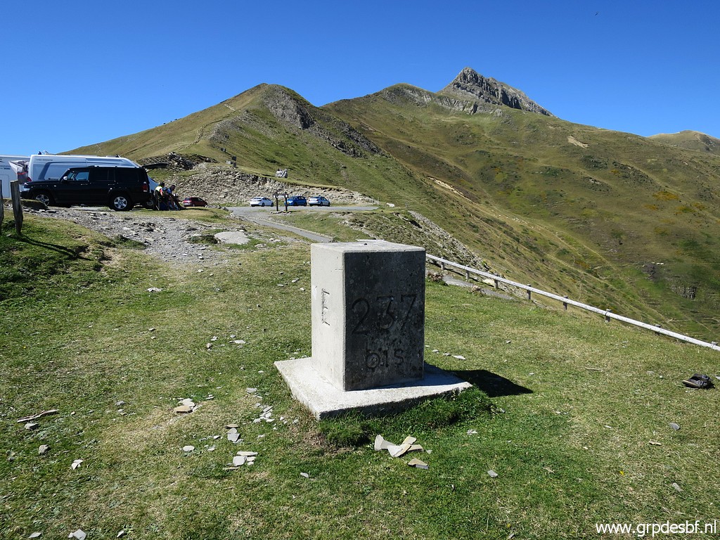
 | Bm237bis at the other side of the Port. (click photo to enlarge) |
 | Bm237 (click photo to enlarge) |
 | Bm237bis (click photo to enlarge) |
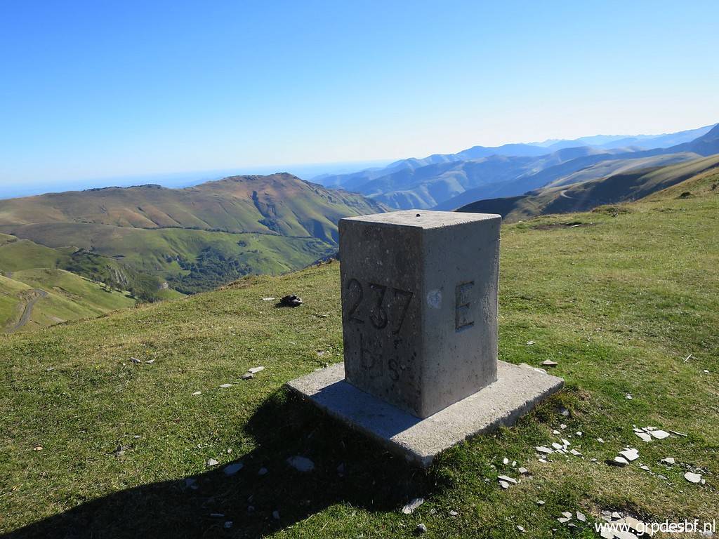 | Bm237bis (click photo to enlarge) |
 | Bm237bis (click photo to enlarge) |
 | Bm237bis, a geodetic marker at its side. (click photo to enlarge) |
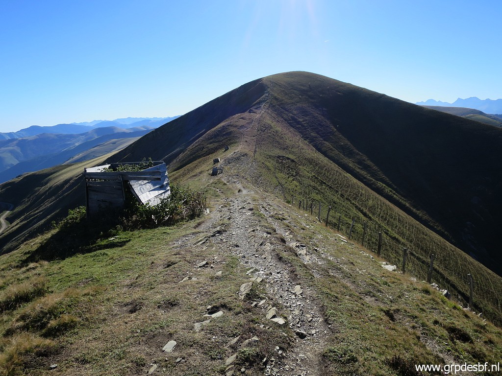 | Then following the ridge to the east. The ruined 'cabin' was meant for hunters for shooting migrating birds. (click photo to enlarge) |
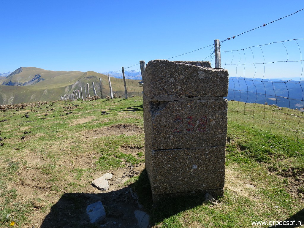
 | Bm238 (click photo to enlarge) |
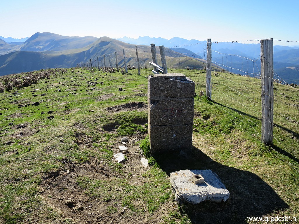
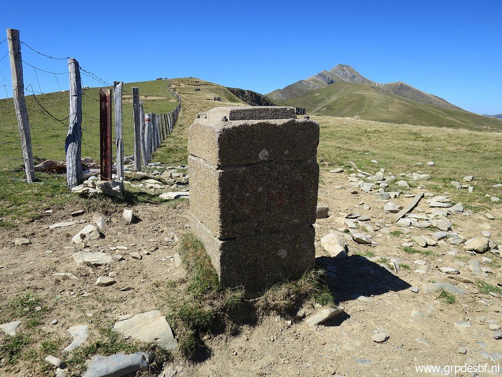
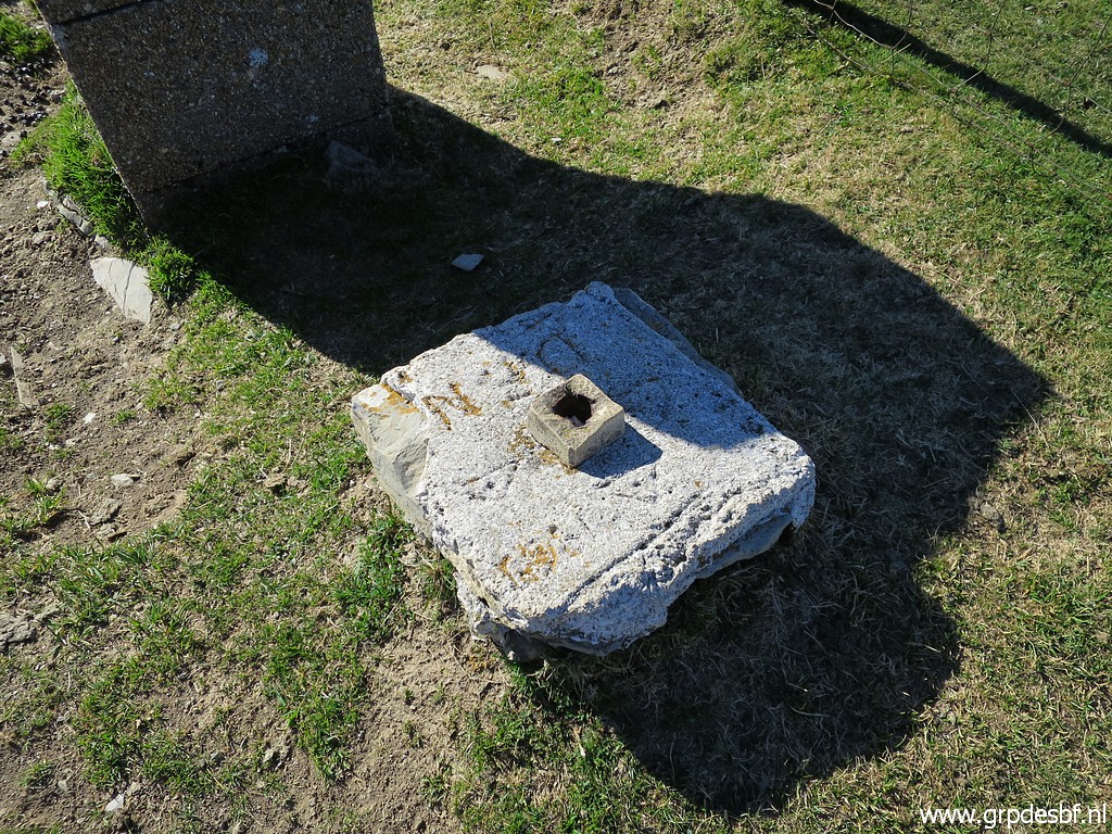 | At the foot of bm238 a kind of marker with DFN ingraved upon it. It means "Diputacion Foral de Navarra" and that is a broad Navarran government organisation with among his tasks the delimitation of the border. (click photo to enlarge) |
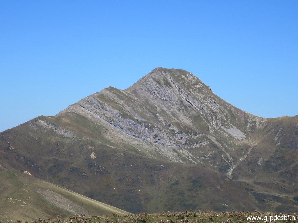
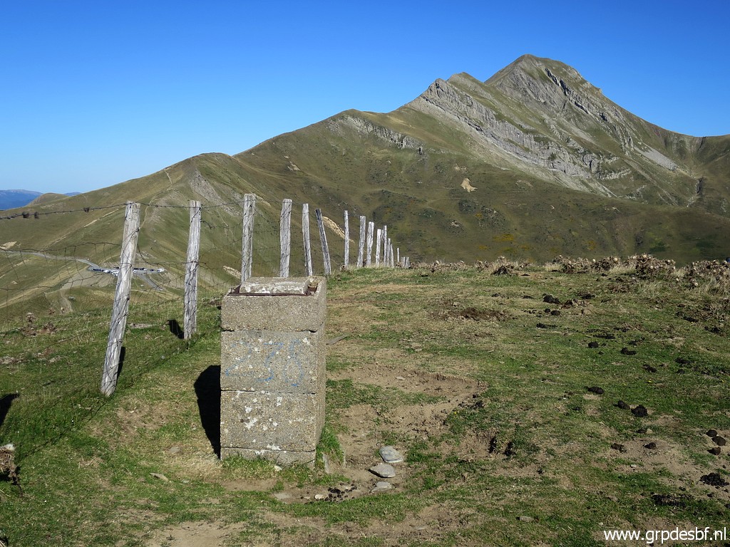 | Bm238, looking back with Pic d'Orhy in the background. (click photo to enlarge) |
 | Bm238 (click photo to enlarge) |
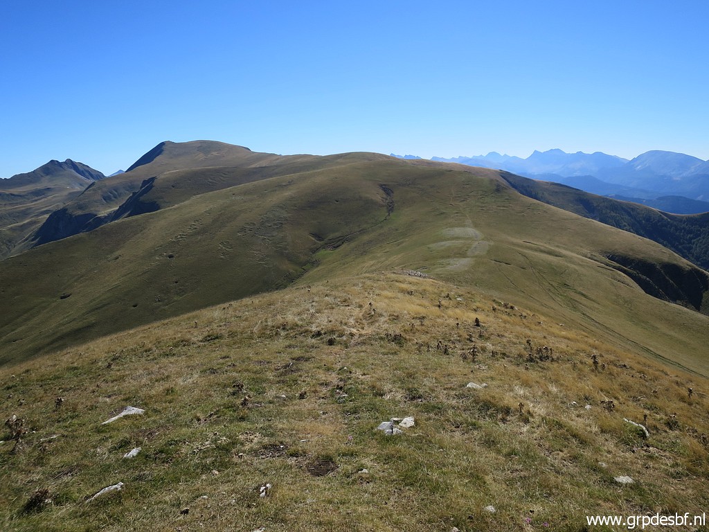
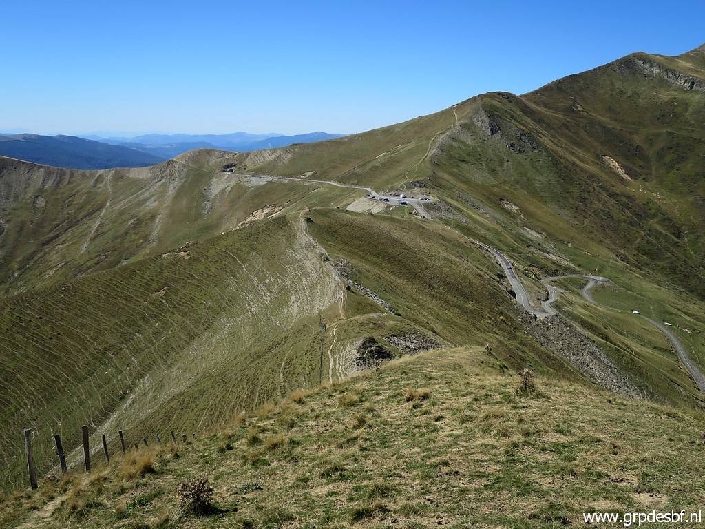
 | Continuing along the ridge (click photo to enlarge) |
 | with - in the far distance - a pass (click photo to enlarge) |
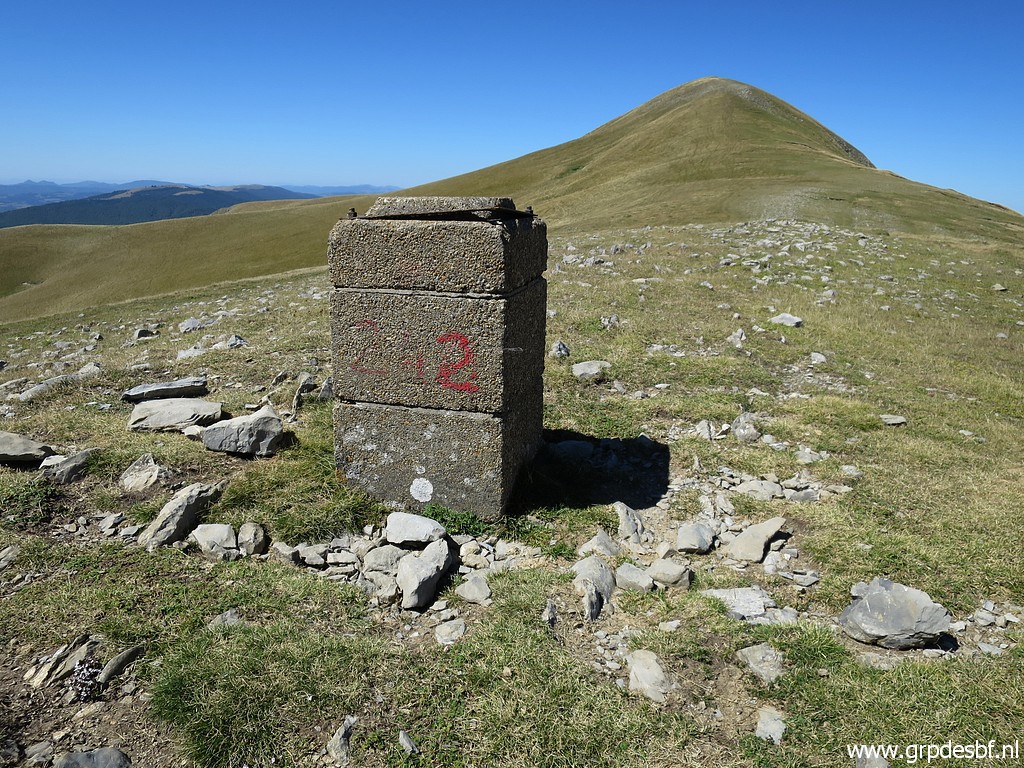
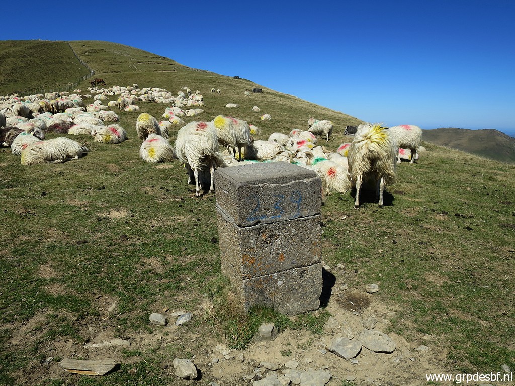
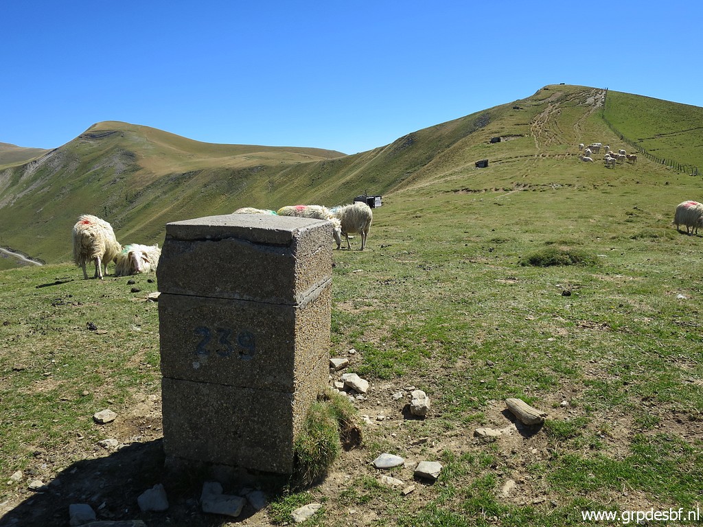
 | with bm239. (click photo to enlarge) |
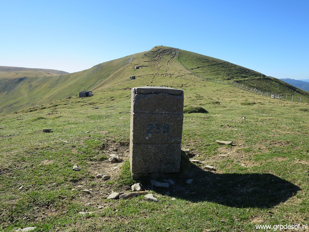 | Bm239 (click photo to enlarge) |
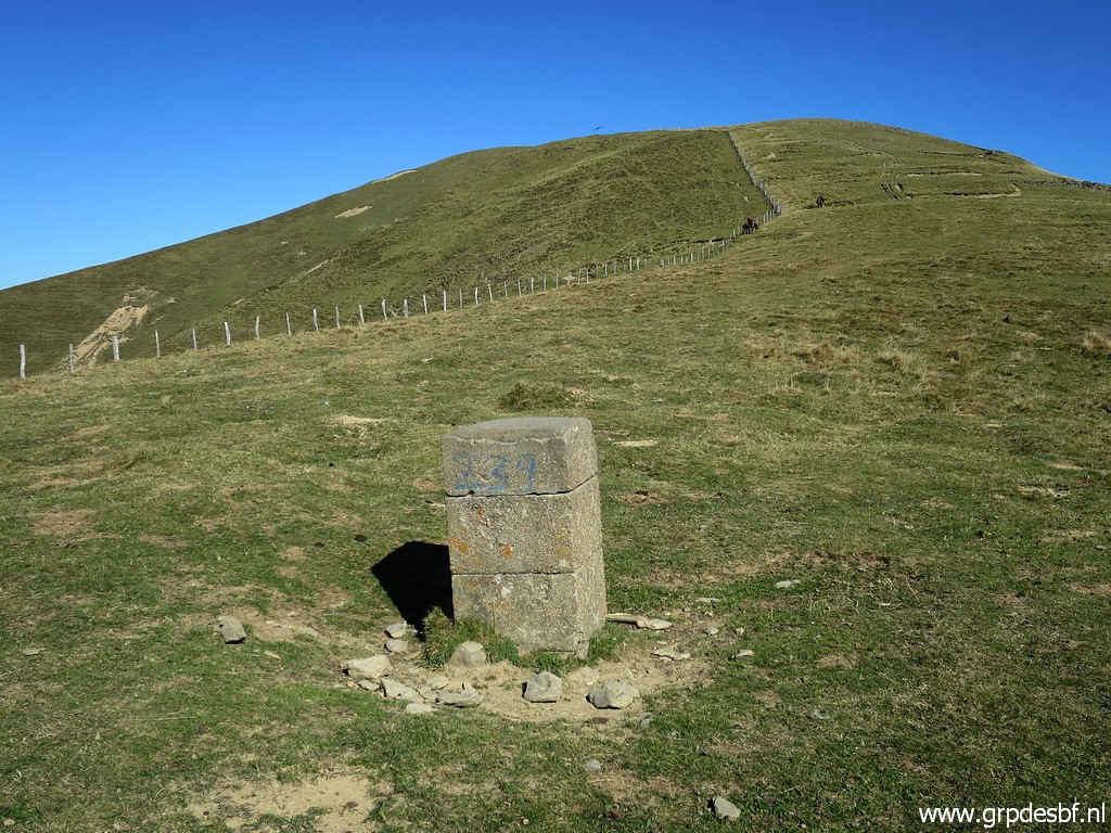 | Bm239, looking back. (click photo to enlarge) |
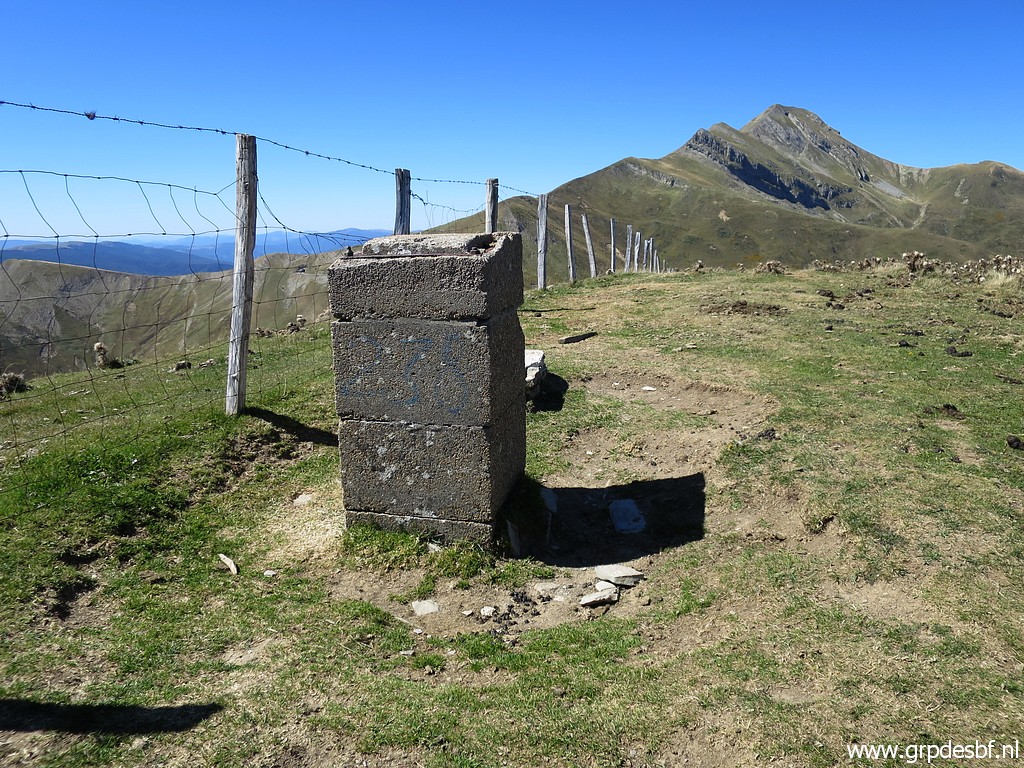
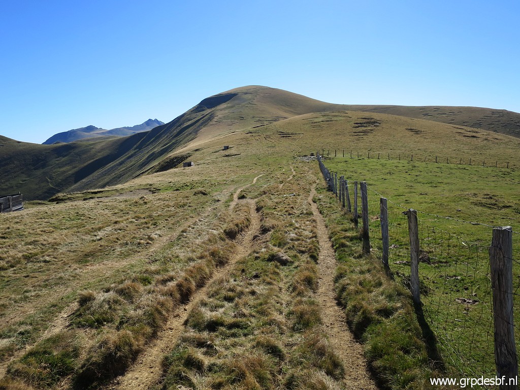 | Then climbing over the next hilltop and approaching (click photo to enlarge) |
 | bm240. (click photo to enlarge) |
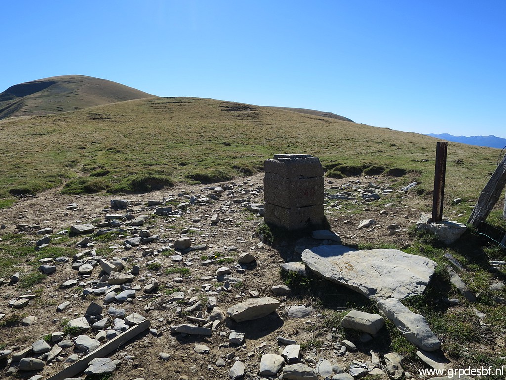 | Bm240 (click photo to enlarge) |
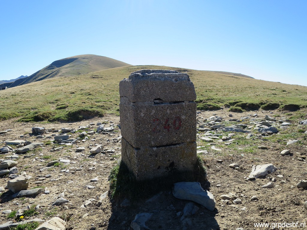 | Bm240 (click photo to enlarge) |
 | Bm240, looking back. (click photo to enlarge) |
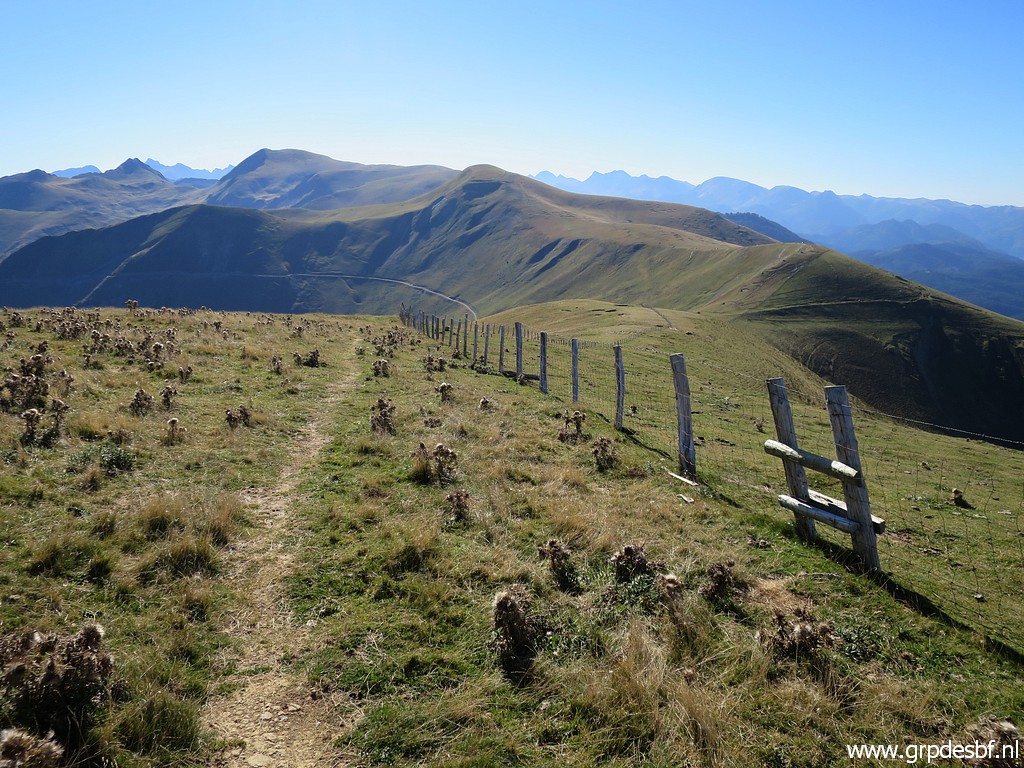
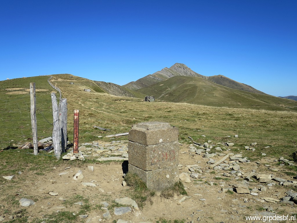
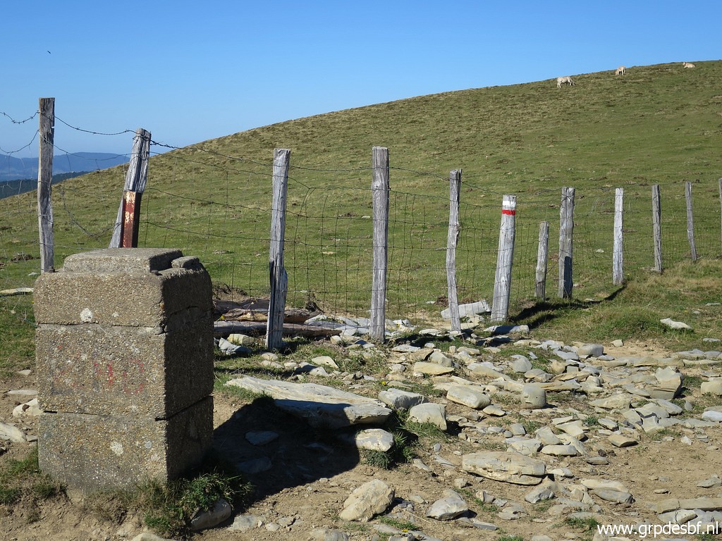 | Bm240, note the red-white waymarks. There is a GR from Port de Larrau to Refugio de Belagua. (click photo to enlarge) |
 | Red-white waymarks further on. You have to leave this trail (click photo to enlarge) |
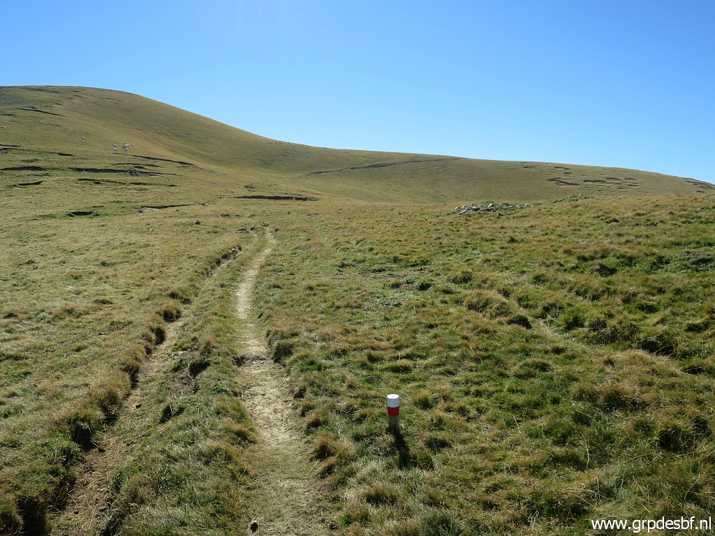
 | to get to bm241. (click photo to enlarge) |
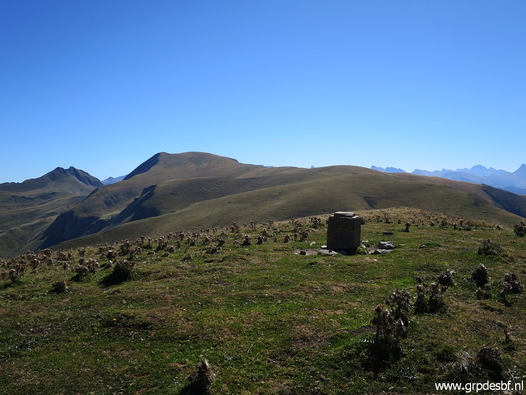
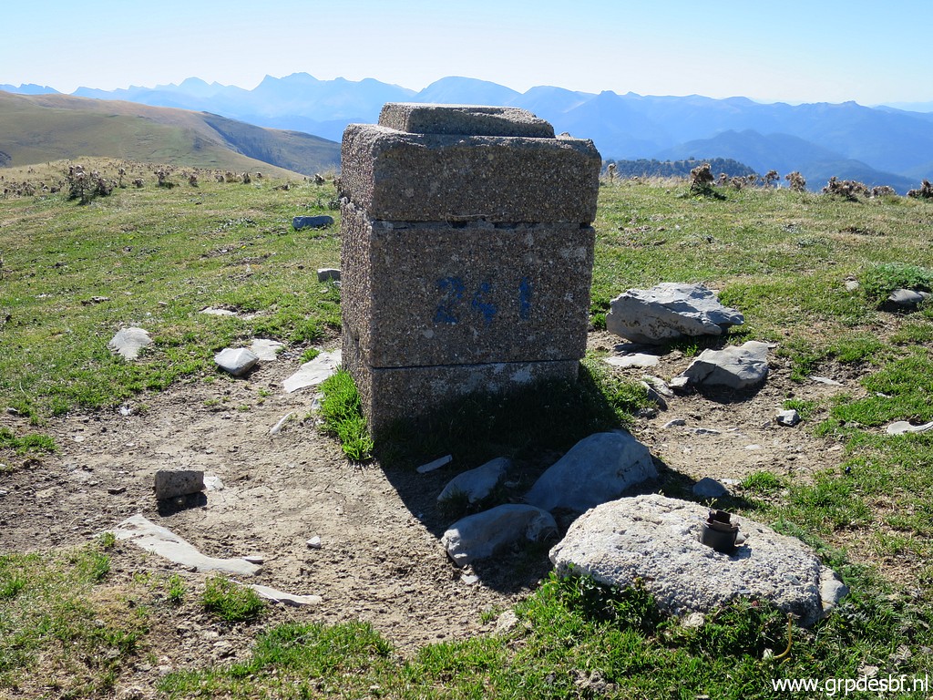 | Bm241 (click photo to enlarge) |
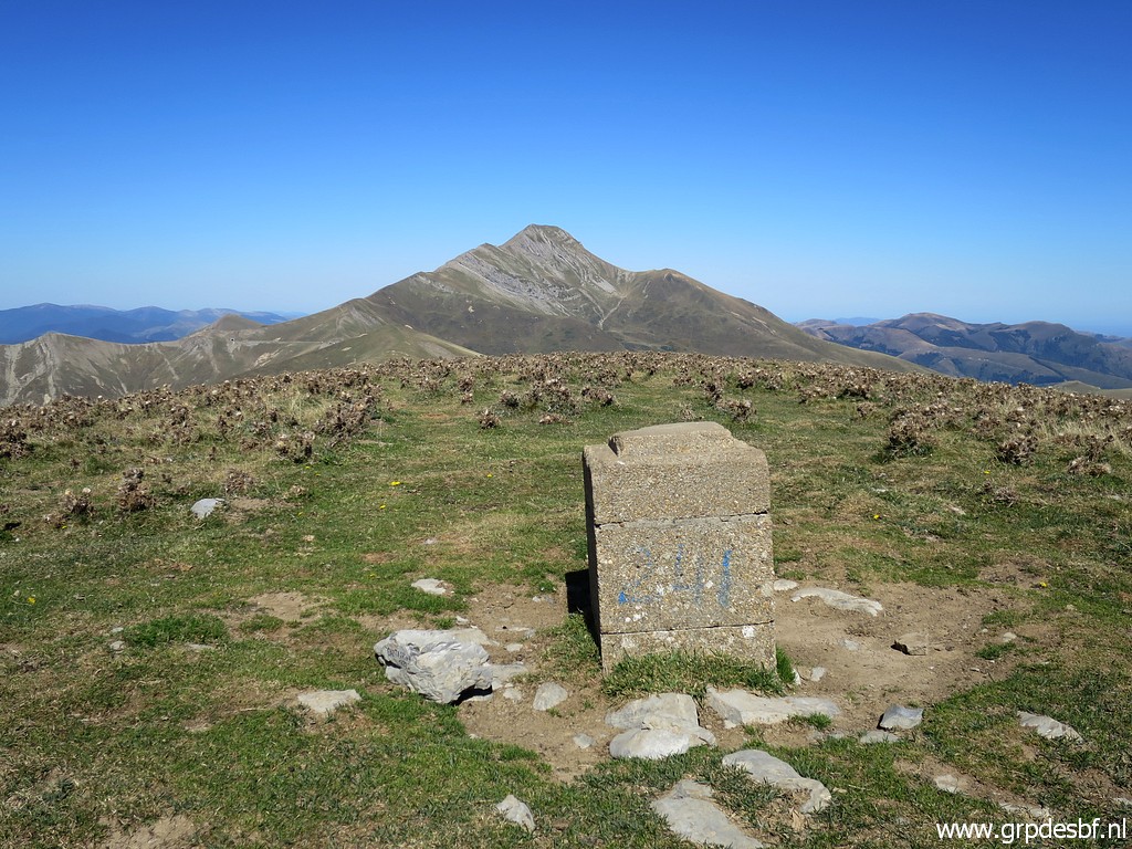 | Bm241 (click photo to enlarge) |
 | A view back to Pic d'Orhy. (click photo to enlarge) |
 | Continuing on the ridge (click photo to enlarge) |
 | to bm242. (click photo to enlarge) |
 | Bm242 (click photo to enlarge) |
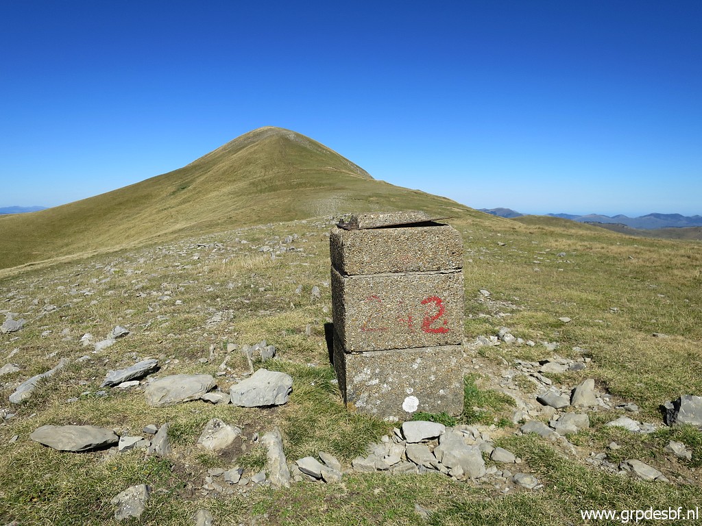 | Bm242, looking back. (click photo to enlarge) |
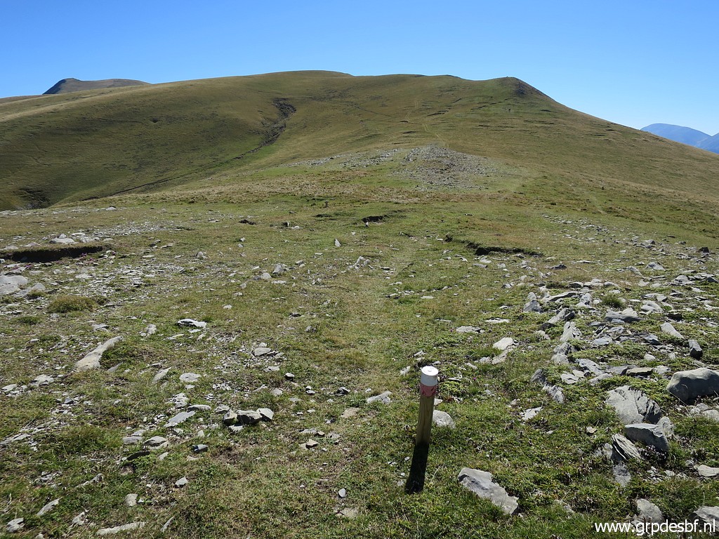 | Red-white signpost, picked up again. (click photo to enlarge) |
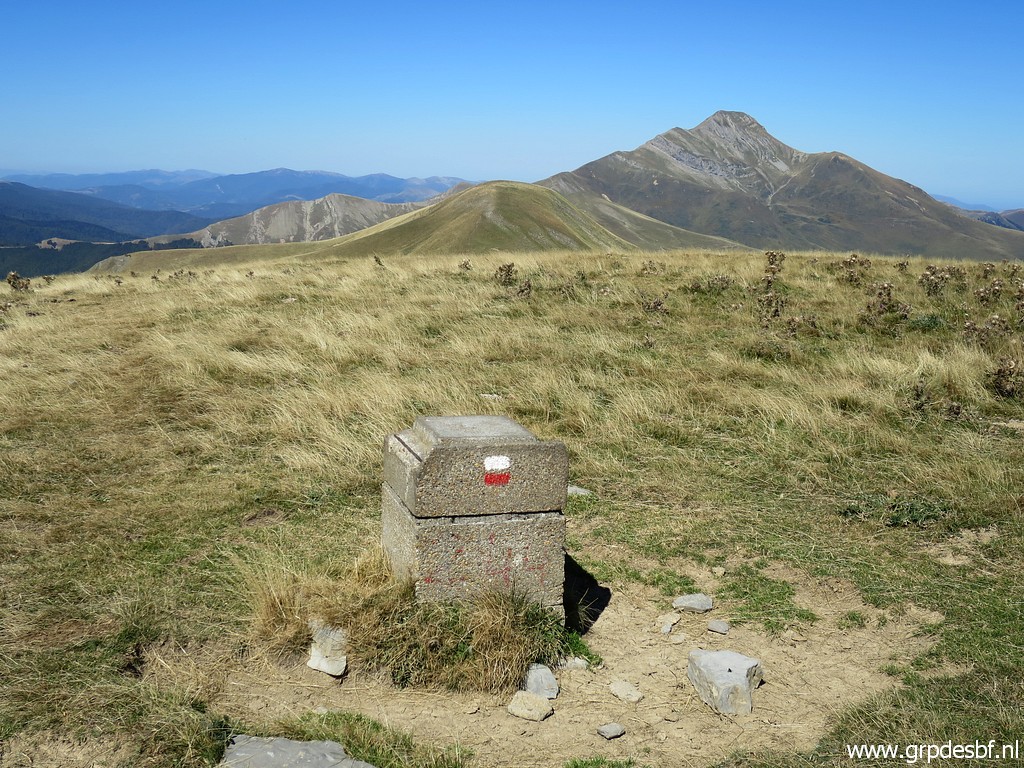
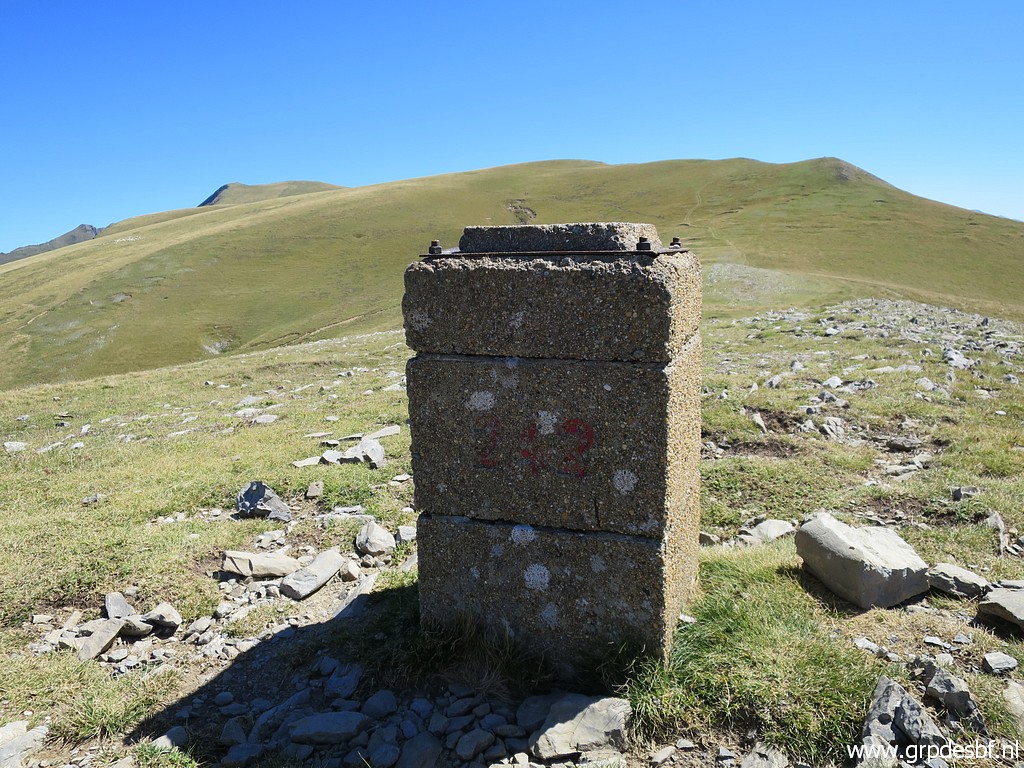
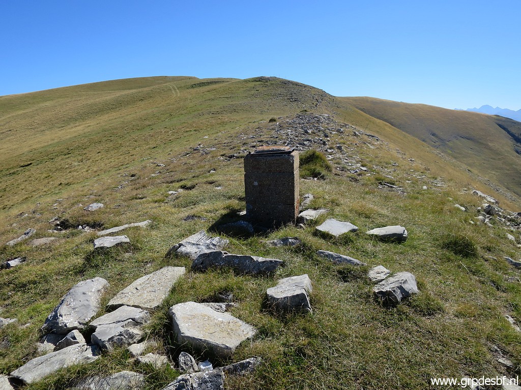 | Bm243 (click photo to enlarge) |
 | Bm243 (click photo to enlarge) |
 | Bm243, looking back. (click photo to enlarge) |
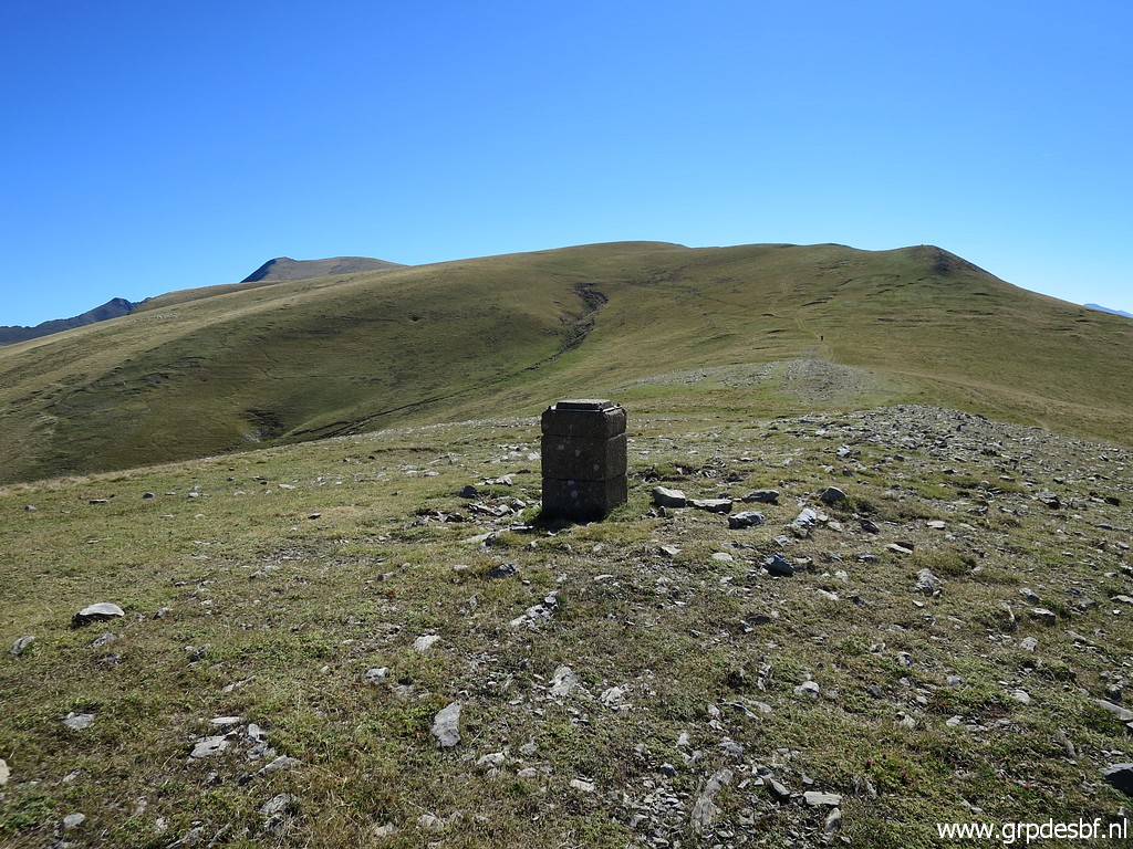
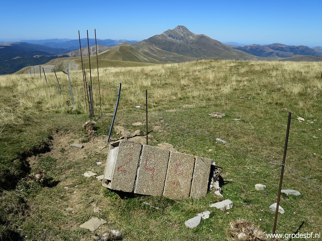
 | Continuing to bm244 (click photo to enlarge) |
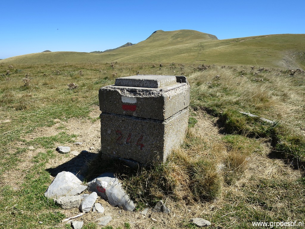
 | Bm244 (click photo to enlarge) |
 | Bm244 (click photo to enlarge) |
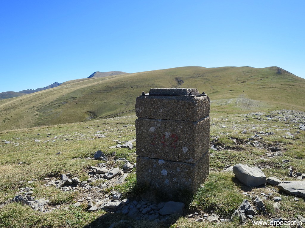
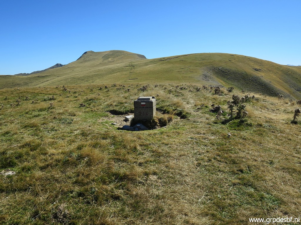
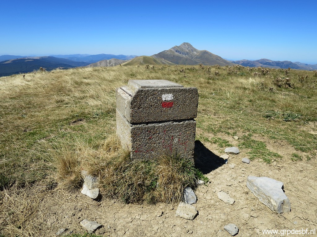
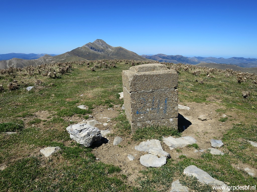
 | Further on bm245 (click photo to enlarge) |
 | Bm245 (click photo to enlarge) |
 | Bm245, looking back (click photo to enlarge) |
 | Bm245 (click photo to enlarge) |
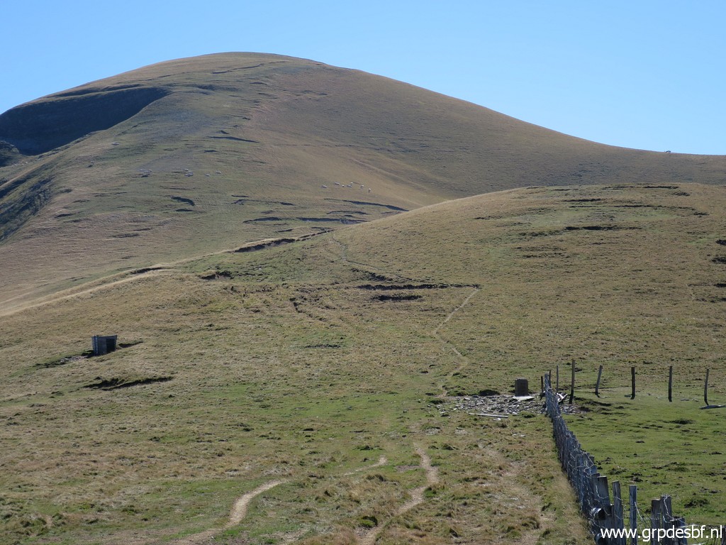
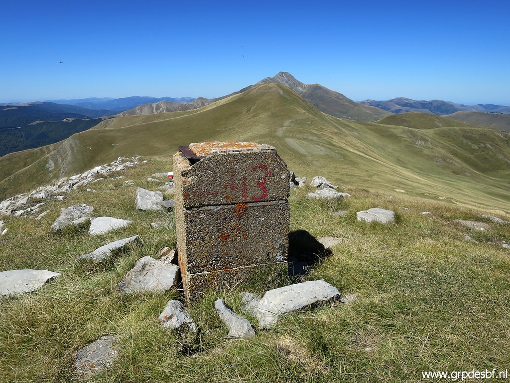
 | Bm245, looking ahead. Bm246 is on the hilltop in the background. (click photo to enlarge) |
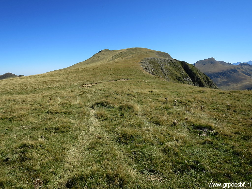 | Continuing on (click photo to enlarge) |
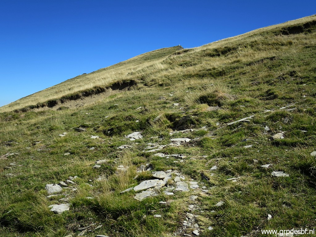 | a vague trail along the hillside, climbing (click photo to enlarge) |
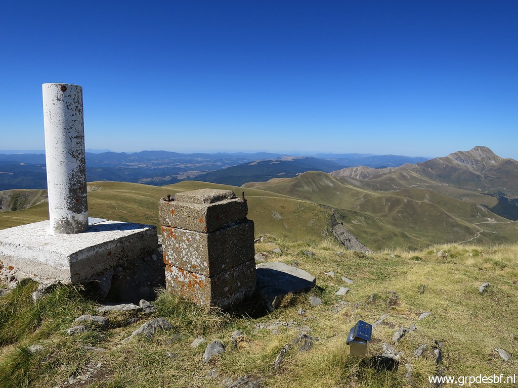
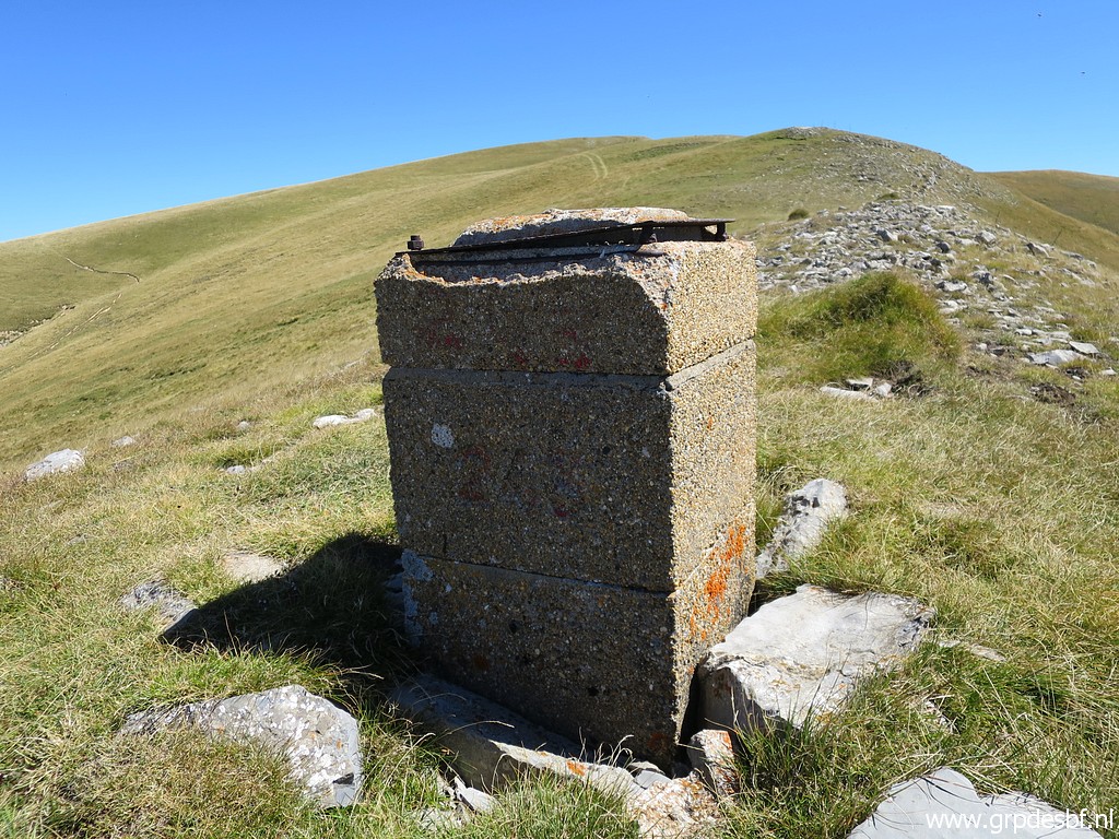
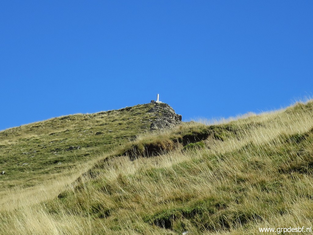 | to - zoom-in - a geodetic pillar at the summit. (click photo to enlarge) |
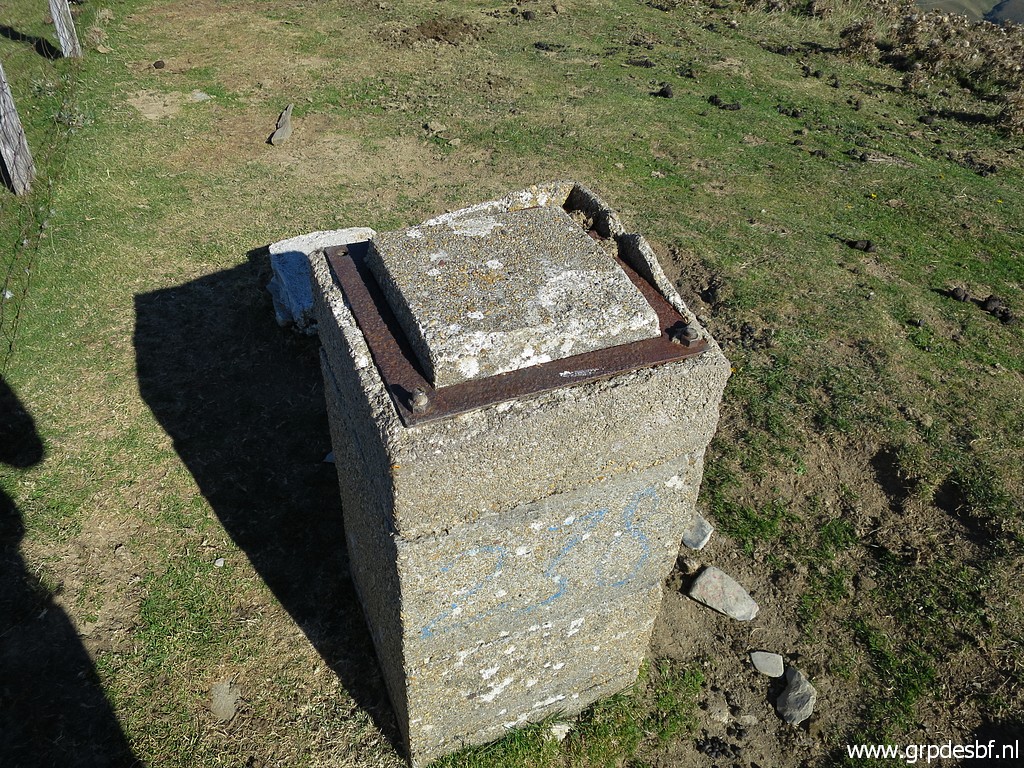
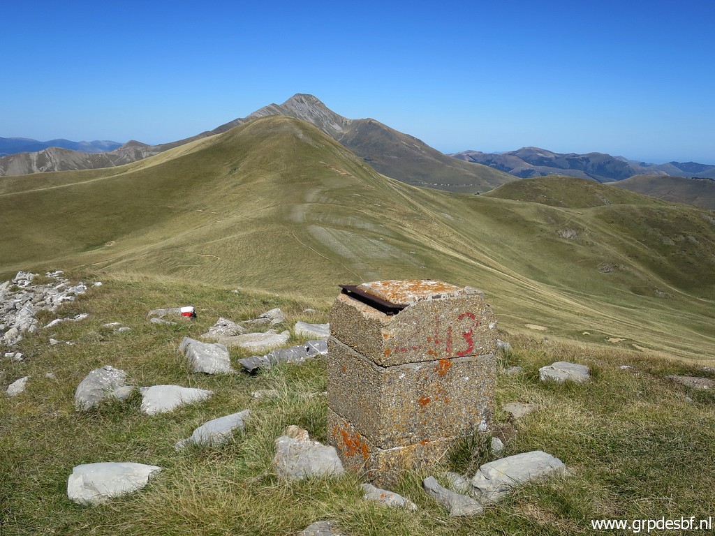
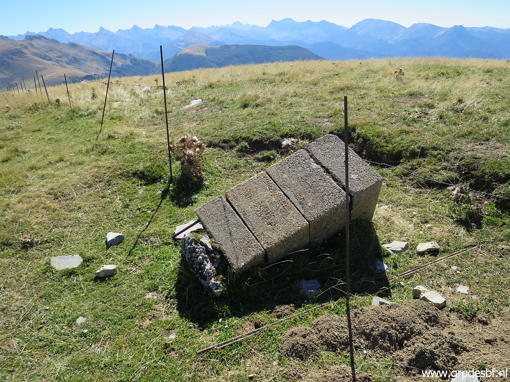
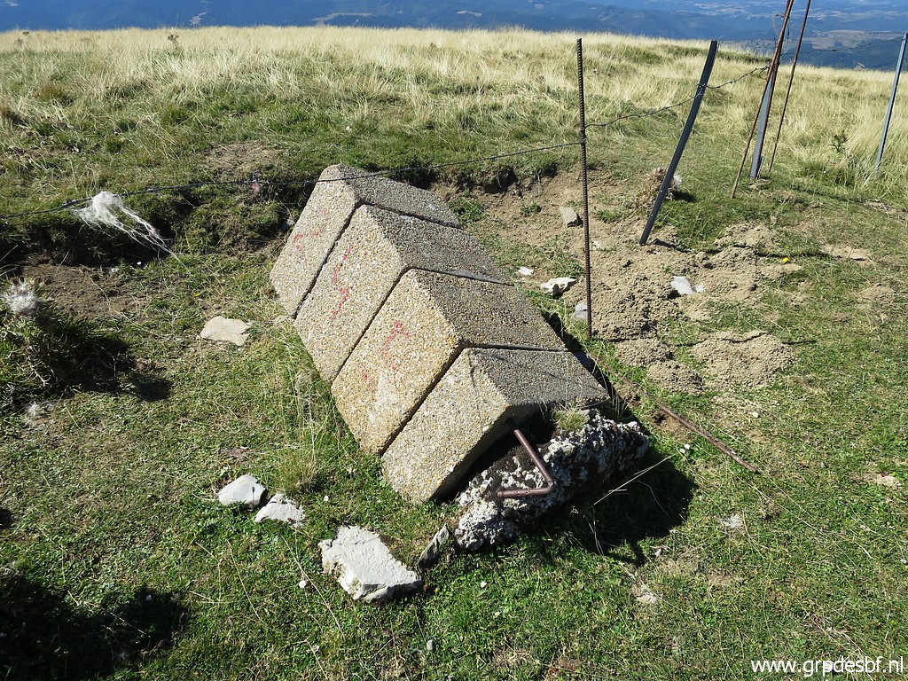
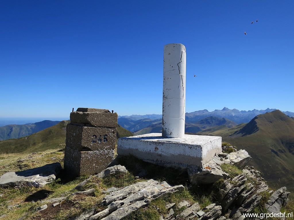
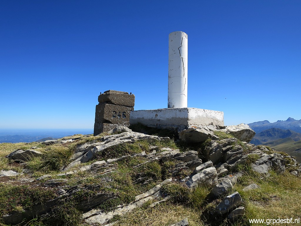 | Bm246 besides the geodetic pillar. (click photo to enlarge) |
 | Bm246 (click photo to enlarge) |
 | Bm246, looking back. (click photo to enlarge) |
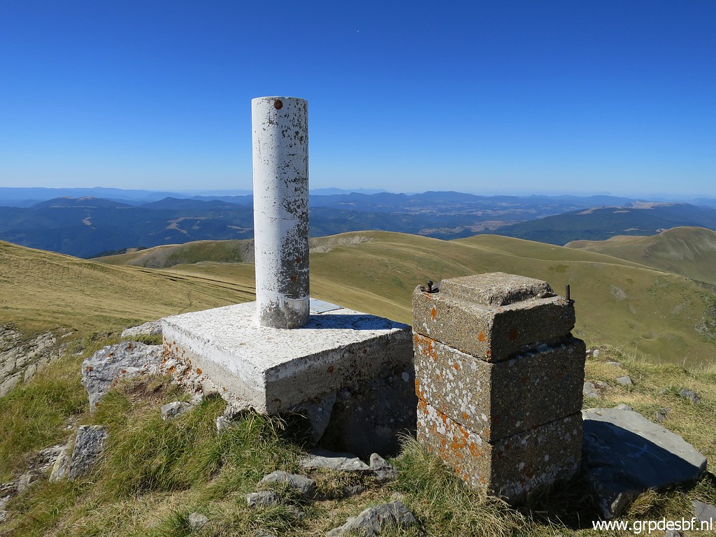 | Bm246 (click photo to enlarge) |
 | A little metal box besides it (click photo to enlarge) |
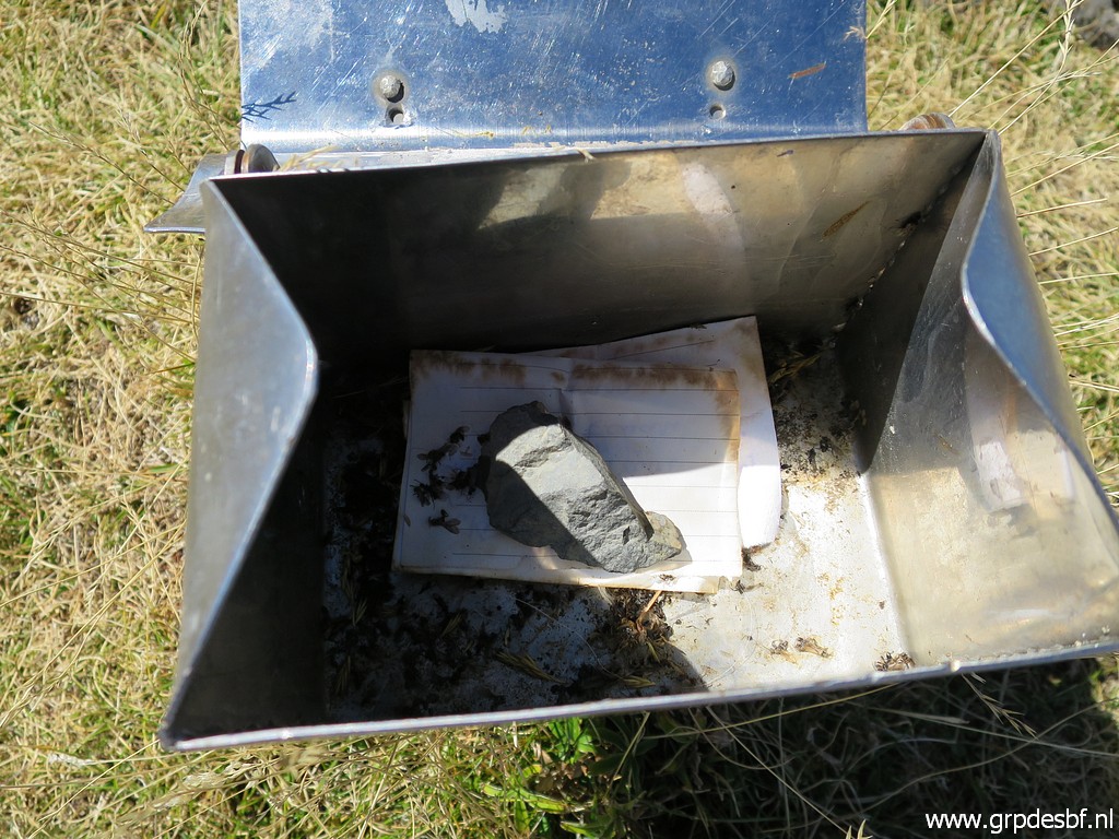 | with some notes in it. (click photo to enlarge) |
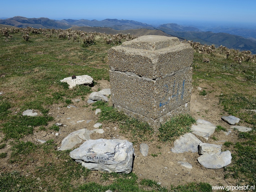
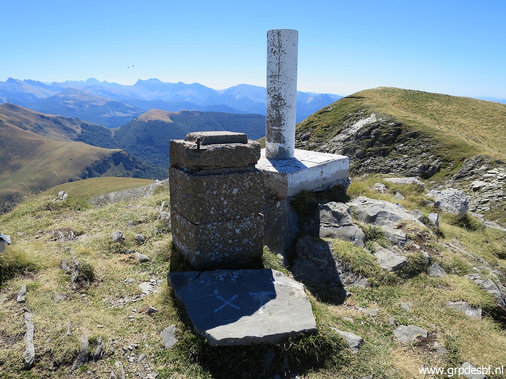 | Bm246 with at the foot a rock with a cross on it. (click photo to enlarge) |
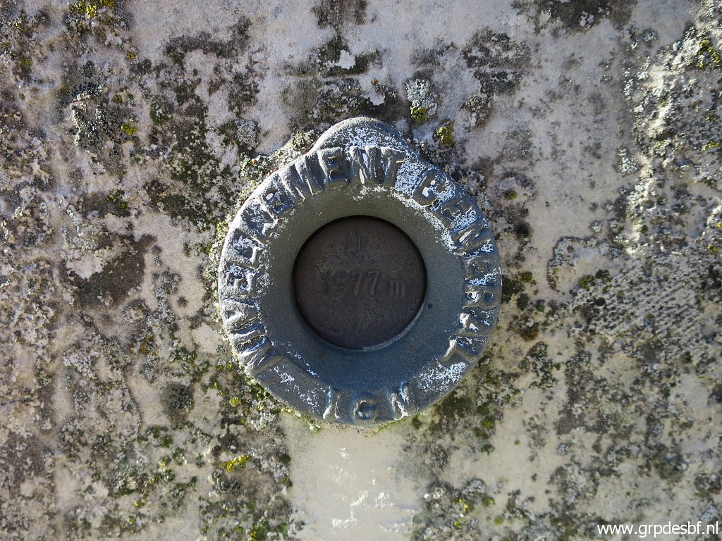
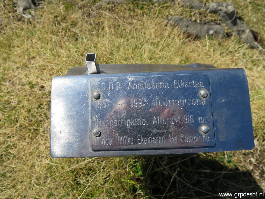
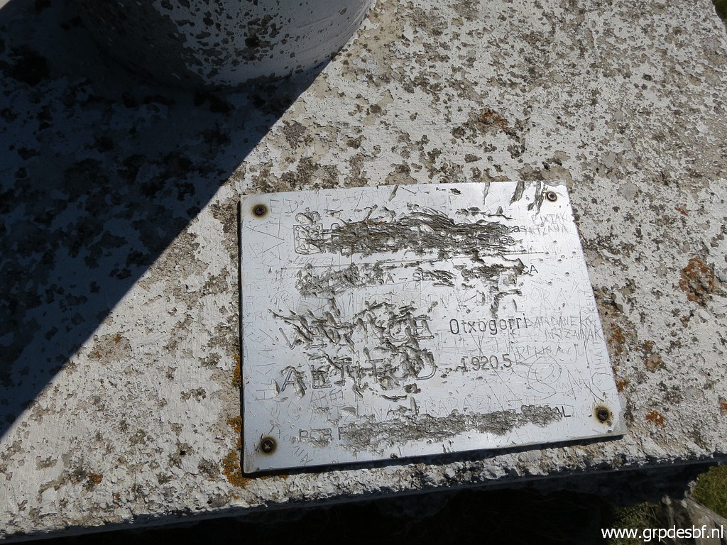 | At the foot of the pillar this plate , indicating a different height than the one on the metal box. (click photo to enlarge) |
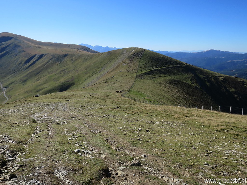
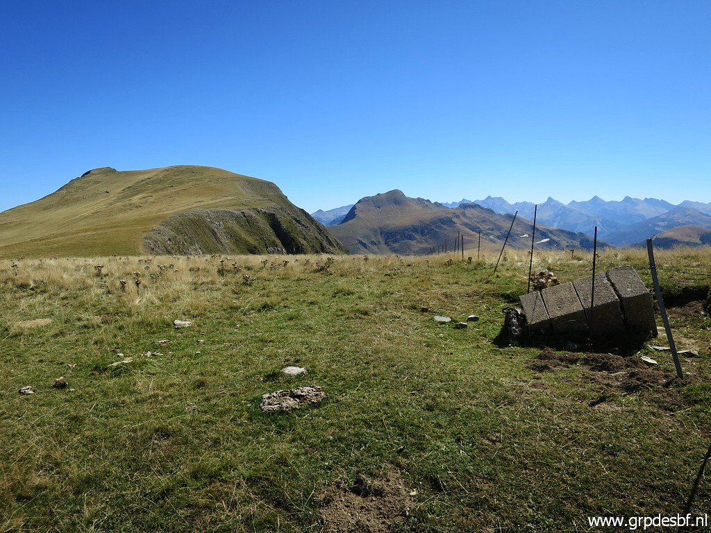
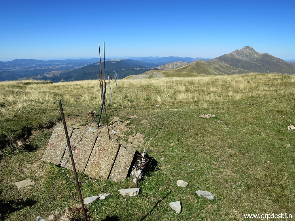
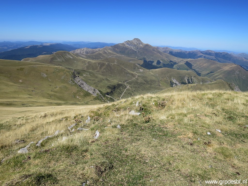
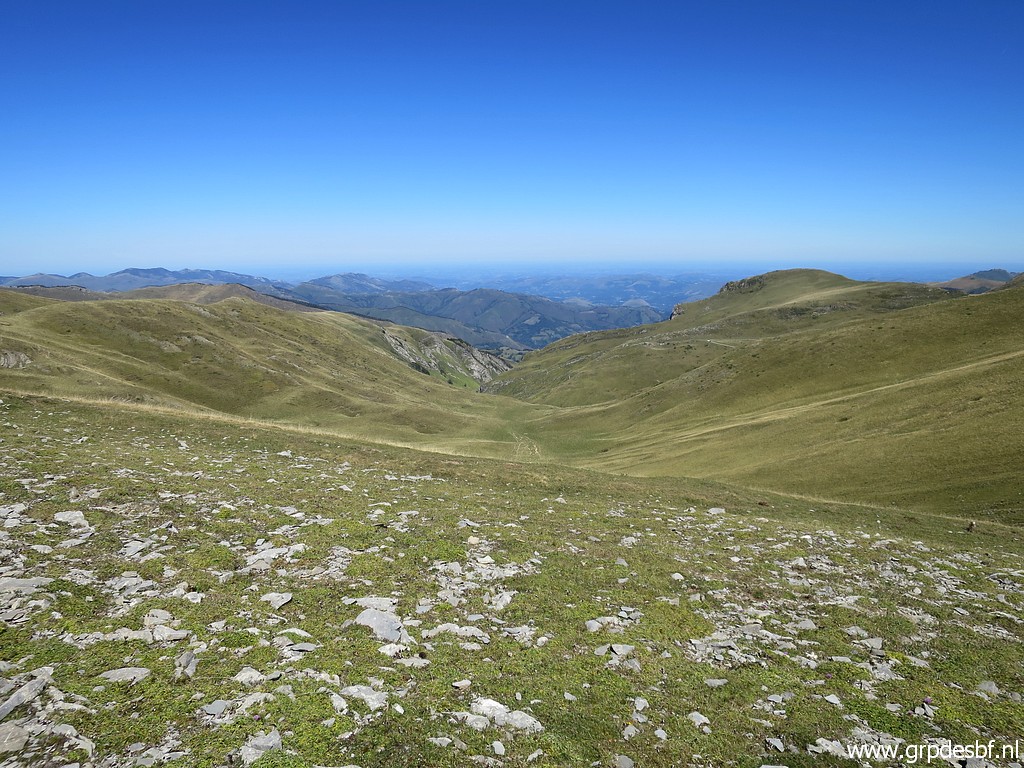
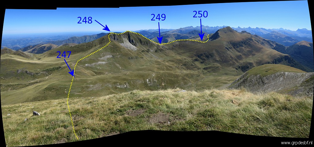 | Then a few pictures of the borderline ahead. (click photo to enlarge) |
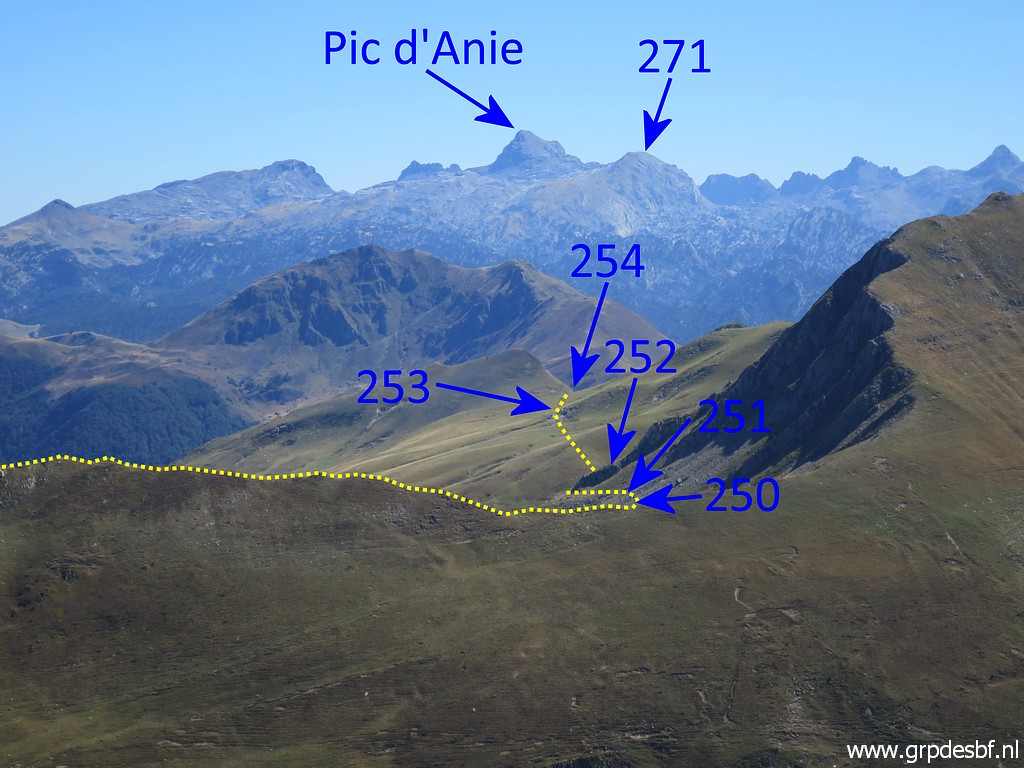 | Zoom-in. Bm250 is at Port de Belhay. (click photo to enlarge) |
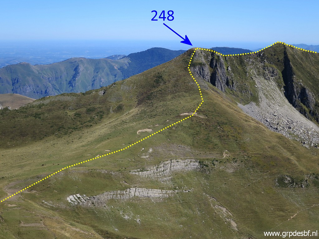 | Another zoom-in I take a short break, it's too late to continue to bm247-248. (click photo to enlarge) |
 | Then returning along the ridge (click photo to enlarge) |
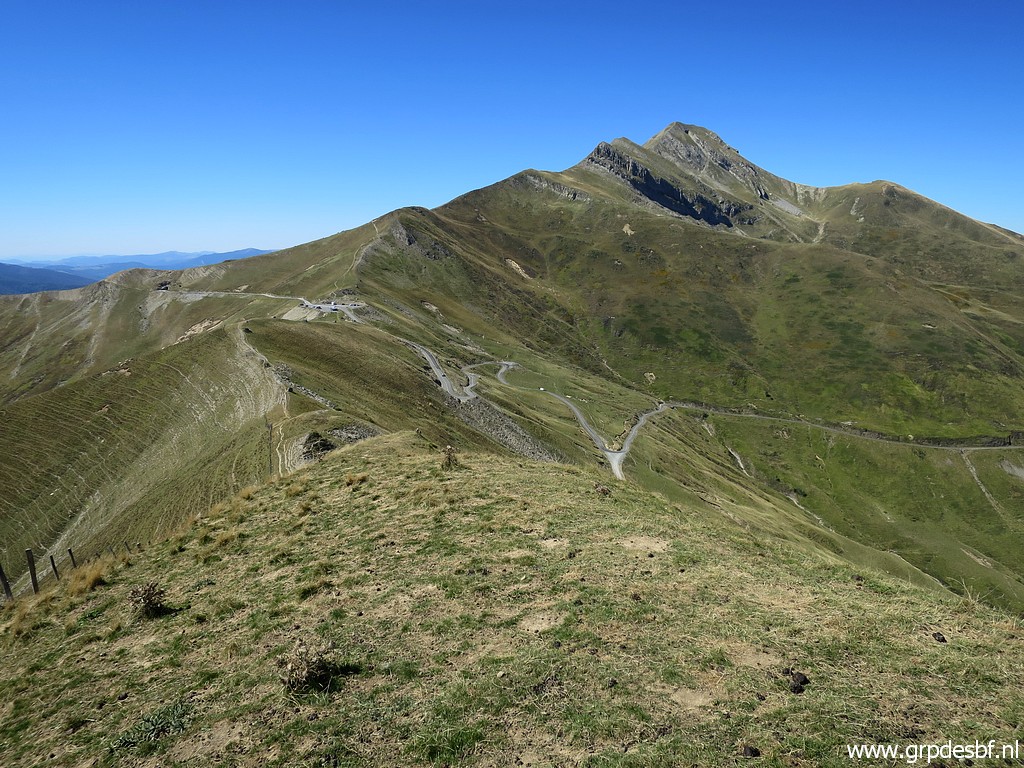
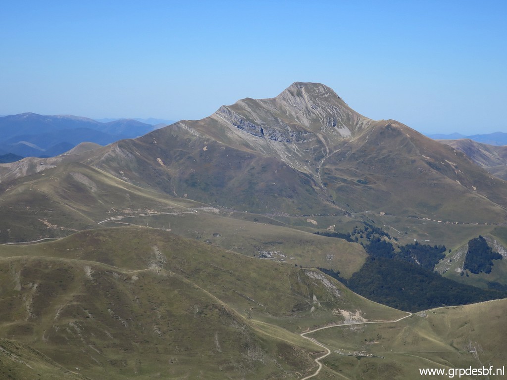 | with the Pic d'Orhy continuously in sight. (click photo to enlarge) |
 | Zoom-in to Pic d'Orhy (click photo to enlarge) |
 | On my way back, I make new pictures of the bordermarkers because the changed sunlight-angle allows better pictures. This is bm245 (click photo to enlarge) |
 | Bm245 (click photo to enlarge) |
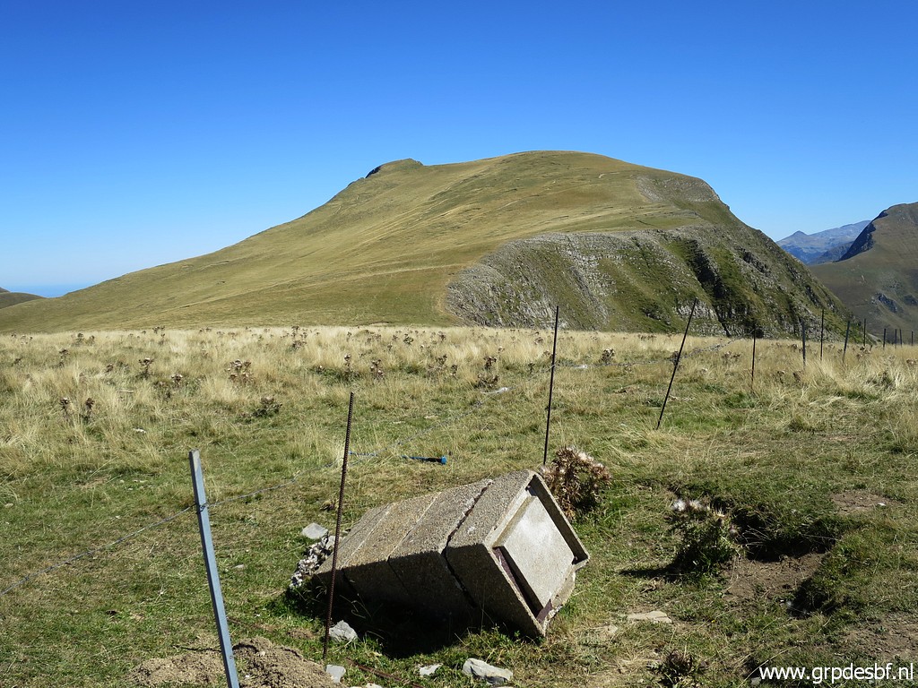
 | Bm244 (click photo to enlarge) |
 | Bm244 (click photo to enlarge) |
 | I remember that I descended in 2009 down the valley to the right to find a place to pitch my tent. (click photo to enlarge) |
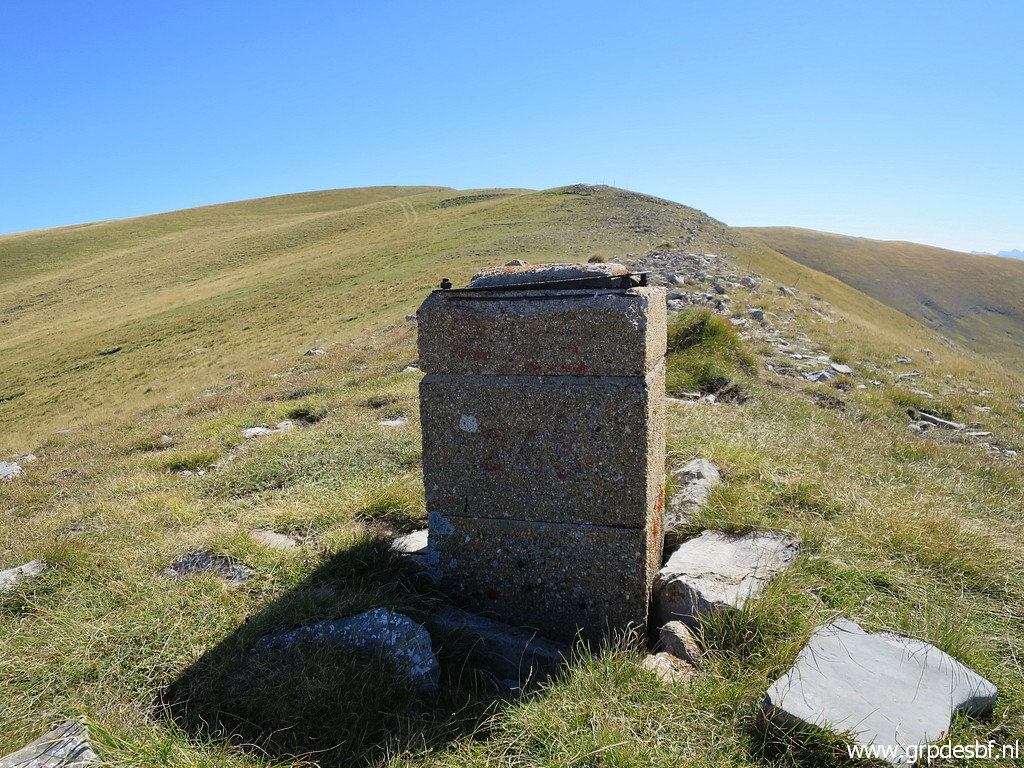
 | Bm243 (click photo to enlarge) |
 | Bm243 (click photo to enlarge) |
 | And this is that valley where I found a bivouac-spot in 2009. Picture taken from approximately the spot of bm242. You may have to descend considerably to find water. (click photo to enlarge) |
 | Bm242 (click photo to enlarge) |
 | Bm242 (click photo to enlarge) |
 | Bm241 (click photo to enlarge) |
 | Bm241 (click photo to enlarge) |
 | Bm241 (click photo to enlarge) |
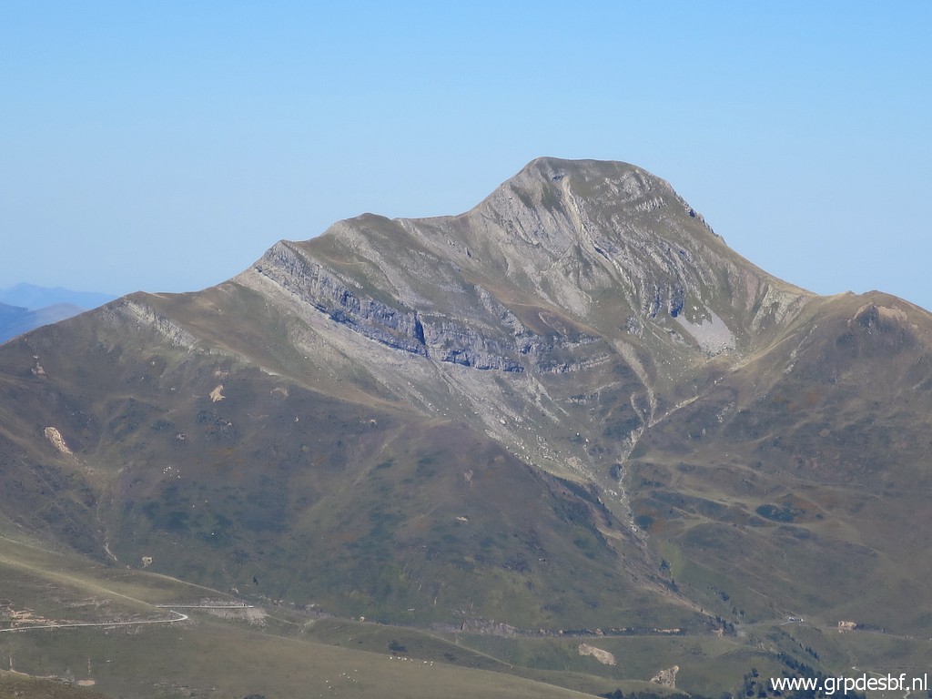
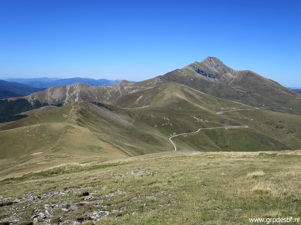 | Some more photos of the Pic d'Orhy ahead. (click photo to enlarge) |
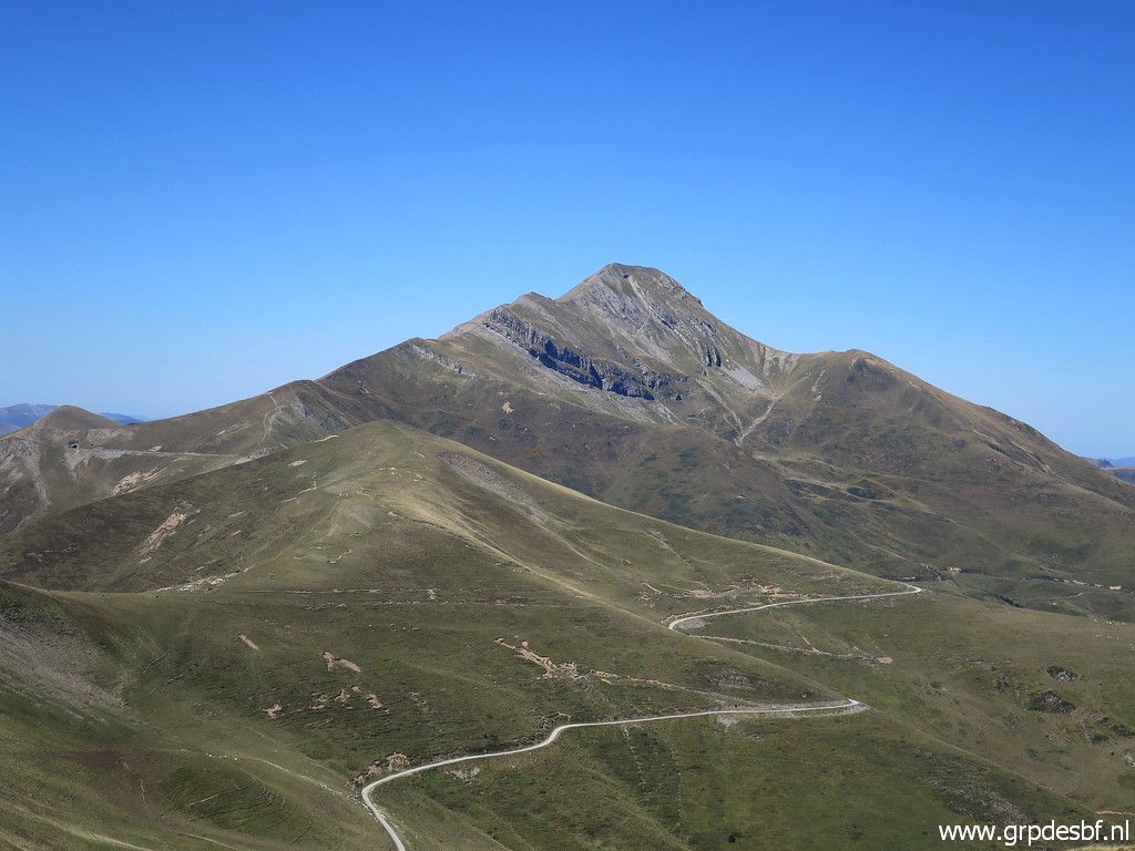 | Pic d'Orhy (click photo to enlarge) |
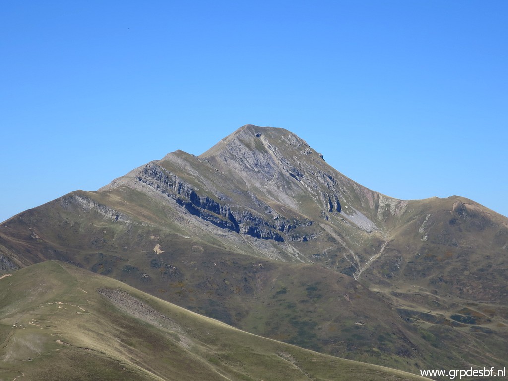 | Pic d'Orhy zoom-in. (click photo to enlarge) |
 | Bm240 (click photo to enlarge) |
 | Bm240 (click photo to enlarge) |
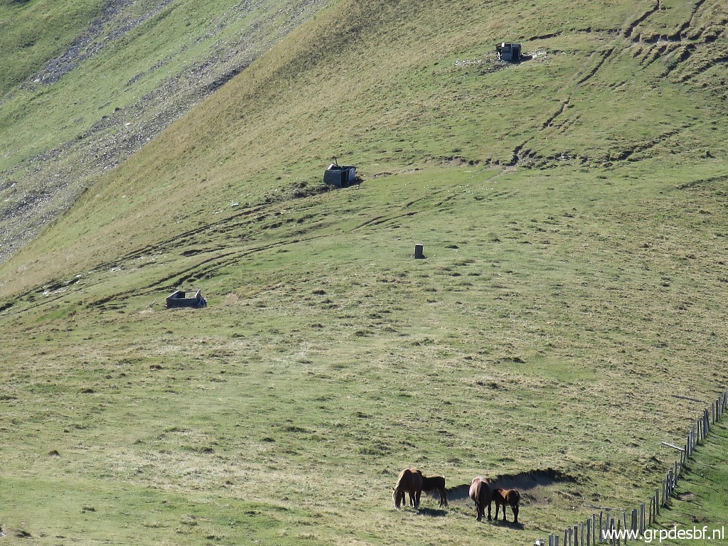
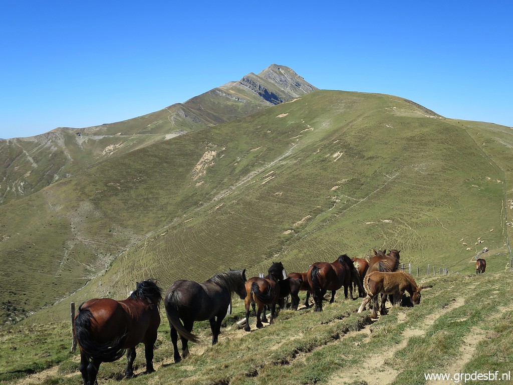 | Horses appear, (click photo to enlarge) |
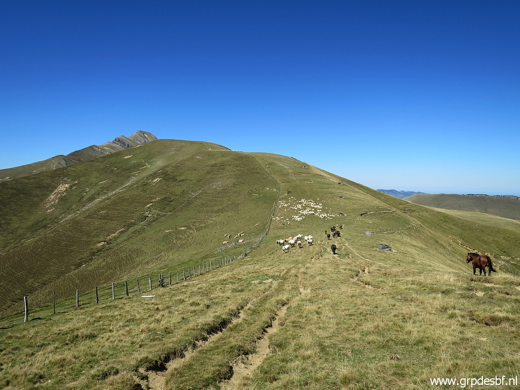 | as wella as sheep further on. (click photo to enlarge) |
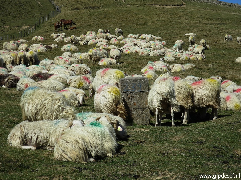
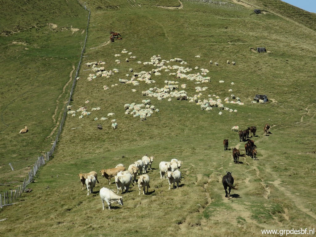 | The herd of sheep (click photo to enlarge) |
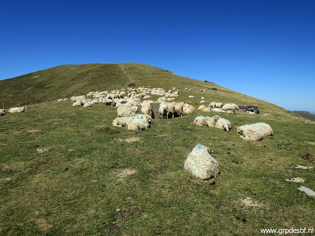 | hide bm239. (click photo to enlarge) |
 | Bm239 (click photo to enlarge) |
 | Bm239 (click photo to enlarge) |
 | Bm239 (click photo to enlarge) |
 | Bm238 (click photo to enlarge) |
 | Bm238 (click photo to enlarge) |
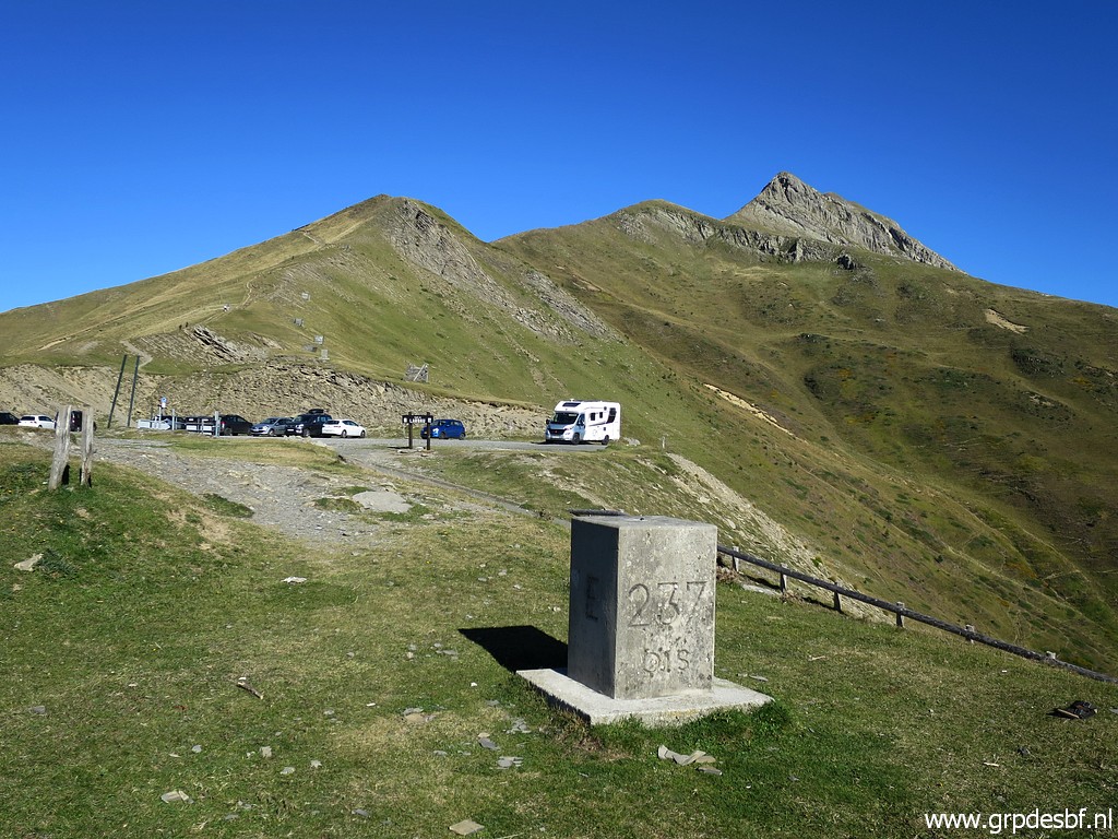
 | Getting closer to (click photo to enlarge) |
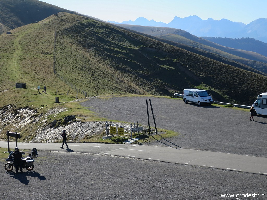
 | Port de Larrau. (click photo to enlarge) |
 | Bm237bis (click photo to enlarge) |
 | Bm237bis (click photo to enlarge) |
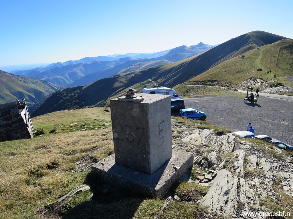
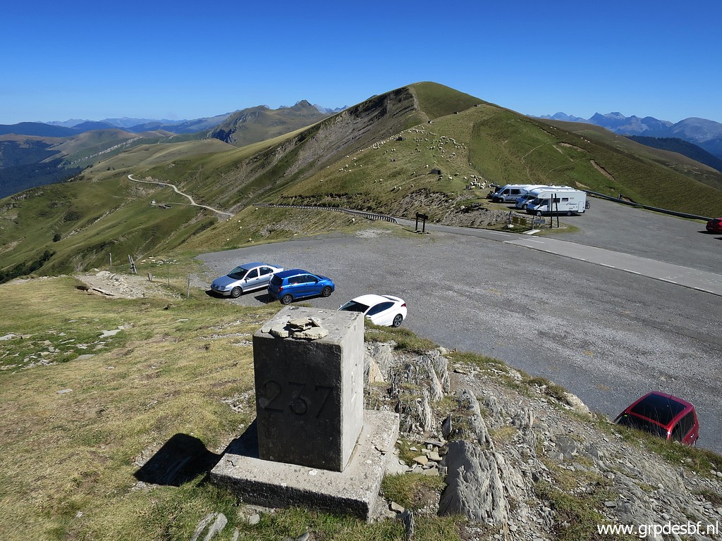
 | Bm237 (click photo to enlarge) |
 | Bm237 (click photo to enlarge) |
 | Bm237 I'm back, my trip took 5,5 hours. Enough for today, it's time to find a camping. (click photo to enlarge) |
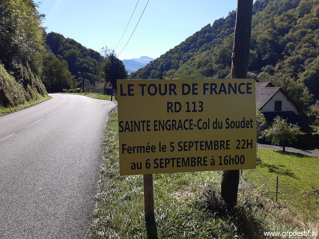 | I planned to sleep at a camping in Sainte-Engrâce but the access road will be closed tomorrow because of the Tour de France. That will make a trip tomorrow from Sainte-Engrâce unpractical. (click photo to enlarge) |
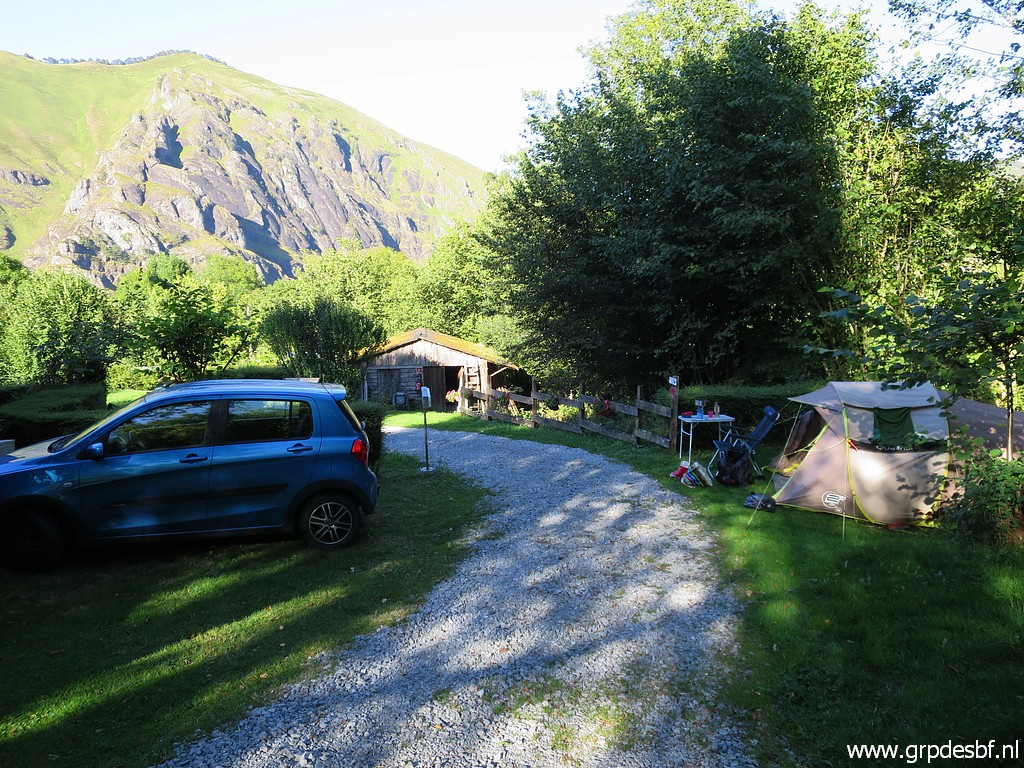 | So I drive back to Larrau to its small-scale and scenic camping. I'm tired... (click photo to enlarge) |