|
The
bordermarkers of the Pyrenees : all my trips
 |
|
| -
monday 7 september
2020 - Redoing 247-255 |
 |
 |
Summary:
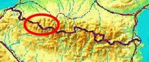
part of a series of 6 daytrips and 1 multiday trip in september 2020 in
the Pyrénées Atlantiques. This is trip 4. Today: from Refugio Belagua a hence & forth trip to bm247-255. Basecamp = the camping in Larrau. Weather: cloudy, foggy, strong winds, cold. |
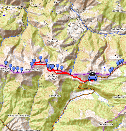
 track-20200907.kml
(click to open this trip in Google Earth or copy link to Google Maps; click right on this link to download gpx-version). The gps-track has not been manually corrected which explains the inaccuracy and misalignment at some points. For cartographic backgrounds: see the cartography-page Gps-waypoints of all bordermarkers (most recent version): kml: esfr-bordermarkers-all-waypoints.kml gpx: esfr-bordermarkers-all-waypoints.gpx (with elevation added by gpsvisualizer.com) |
|
 |
According to Garmin
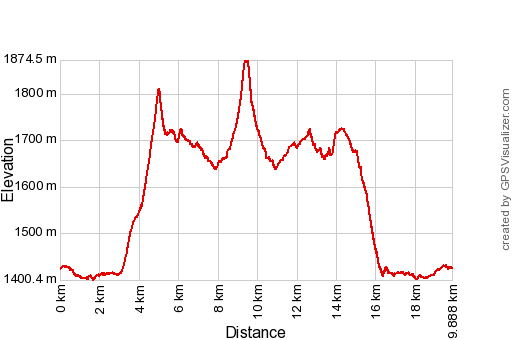
Basecamp (uncorrected track): Distance: 19,9 km Max-height: 1881m Min-height: 1394m Elevation: +1128m -1131m Total elevation: 2259m Start 8:28 Finish 16:45 Total time: 8:17 |
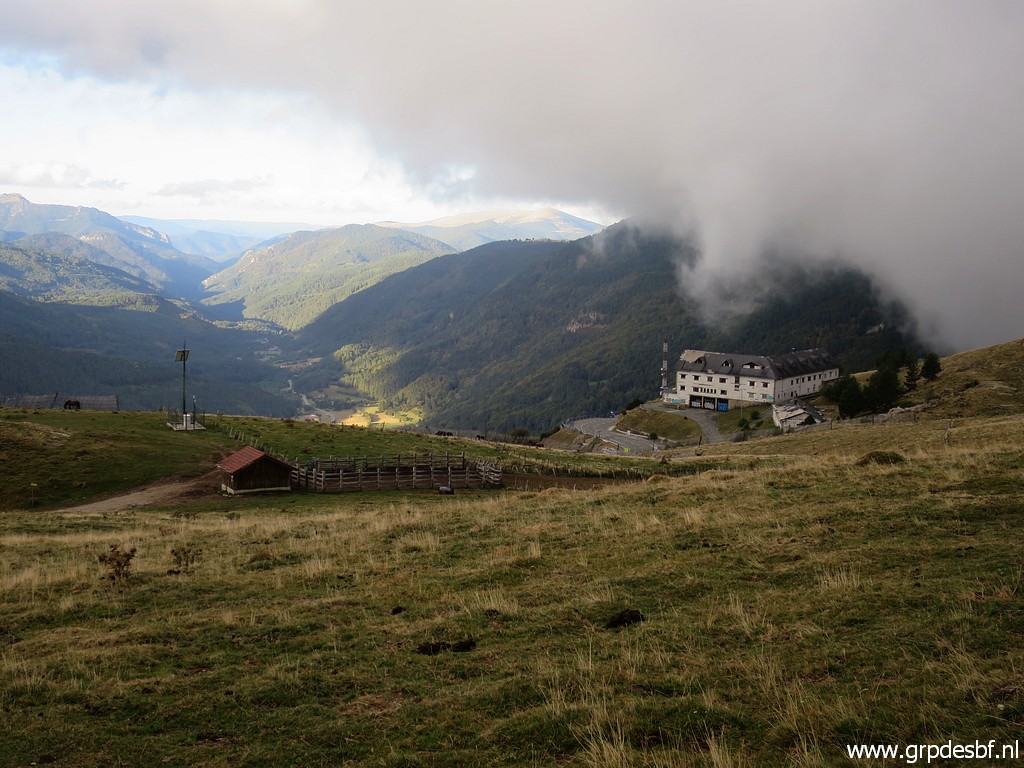
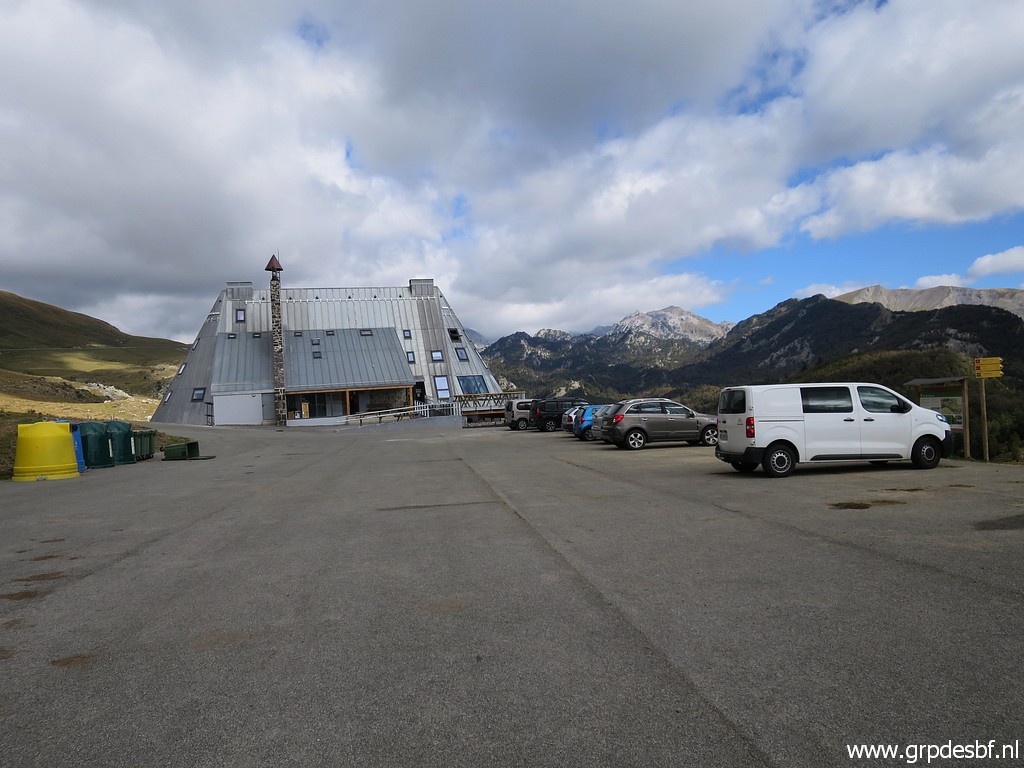
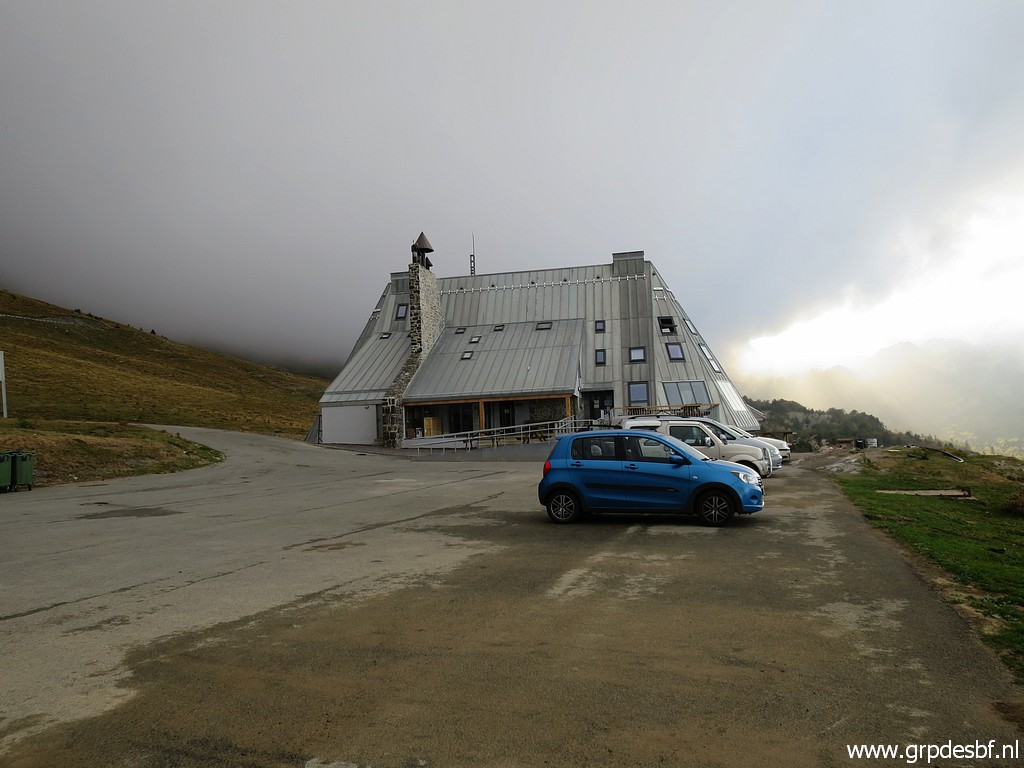 | Parking my car at Refugio Belagua. I'm surprised that it has been reopened. (click photo to enlarge) |
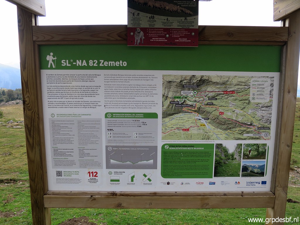 | An information panel. (click photo to enlarge) |
 | It shows some interesting trails. De day after tomorrow I will try the red-white waymarked trail towards Col d'Anaye (bm272) (click photo to enlarge) |
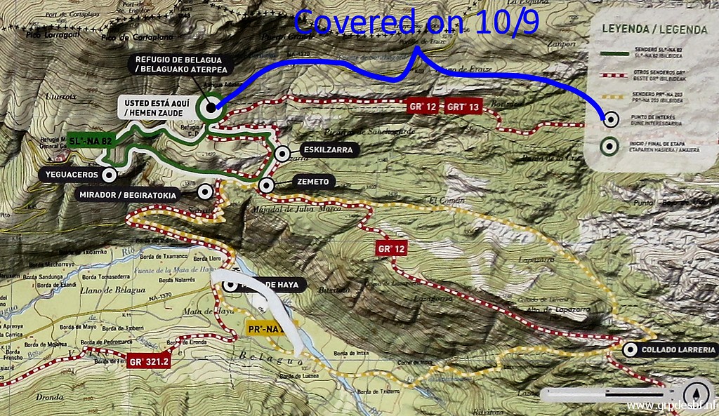
 | Another panel (click photo to enlarge) |
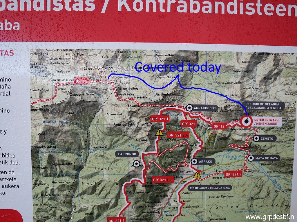 | shows the trail which I will follow (in general) today. (click photo to enlarge) |
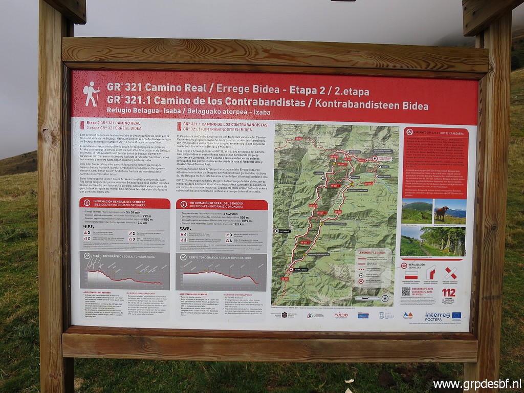
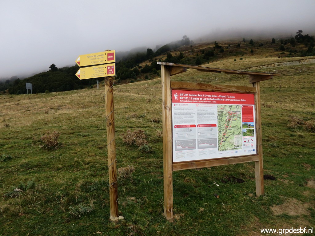 | This is Spain nowadays: ample information about the trails and a lot of waymarked routes. (click photo to enlarge) |
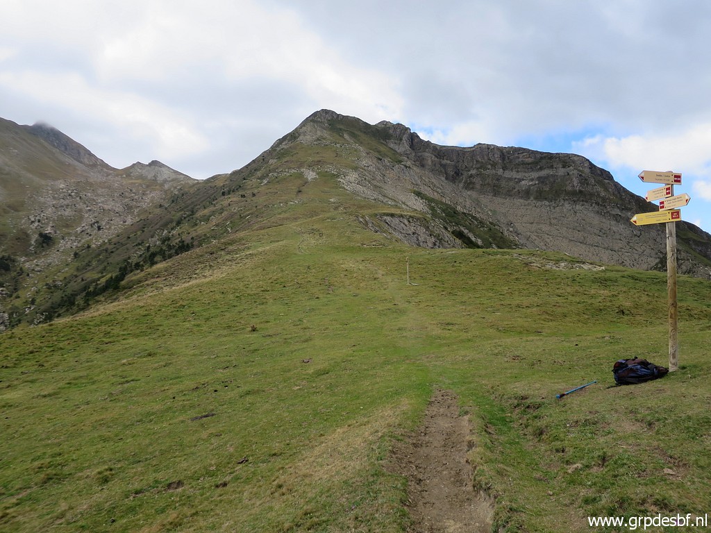
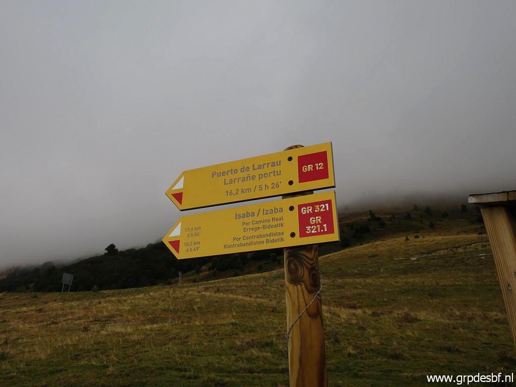 | I take the GR12 towards Port de Larrau. (click photo to enlarge) |
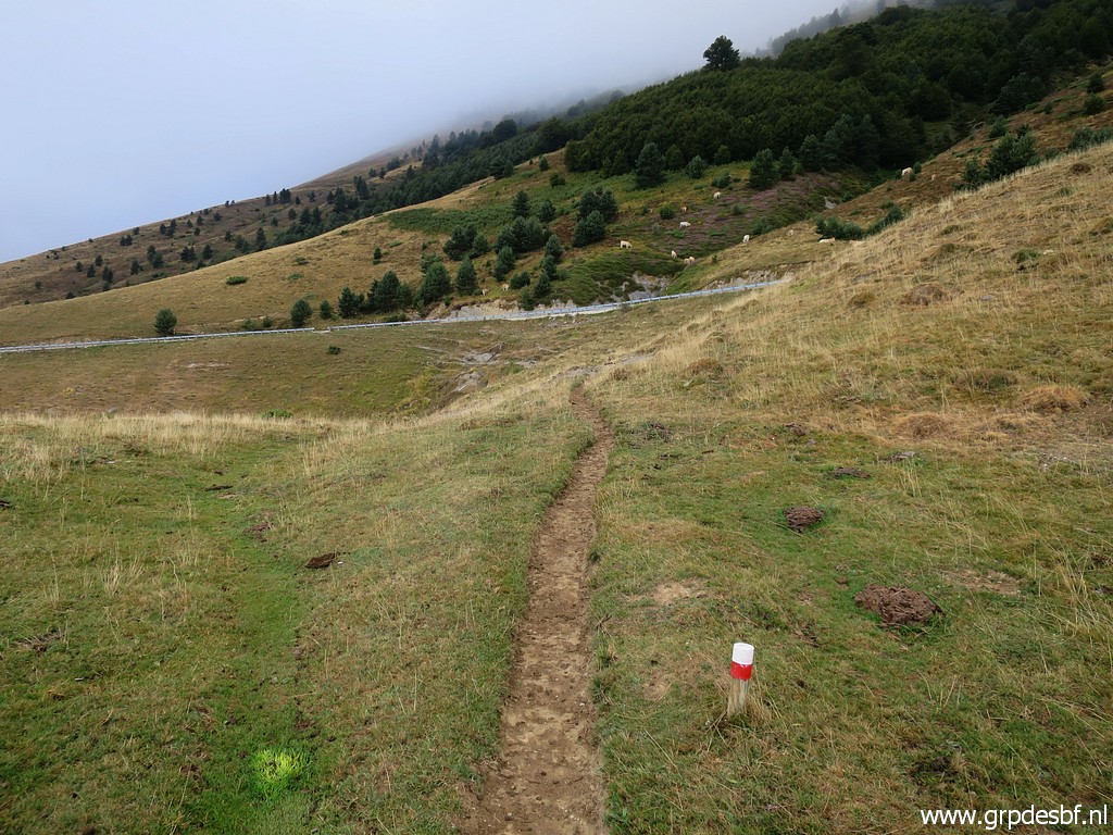 | On easy and well waymarked trails, (click photo to enlarge) |
 | I proceed (click photo to enlarge) |
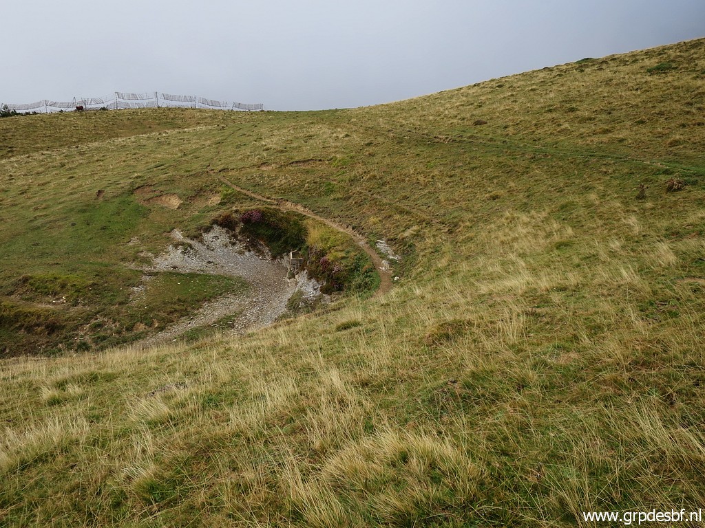 | along a (click photo to enlarge) |
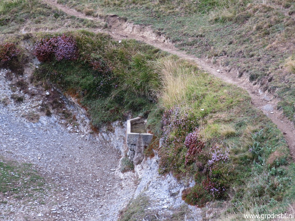 | drinking facility for cattle but now dry. (click photo to enlarge) |
 | Later on another one, also dry. (click photo to enlarge) |
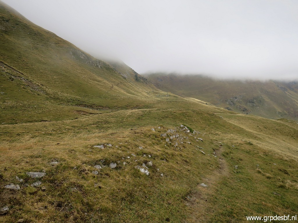
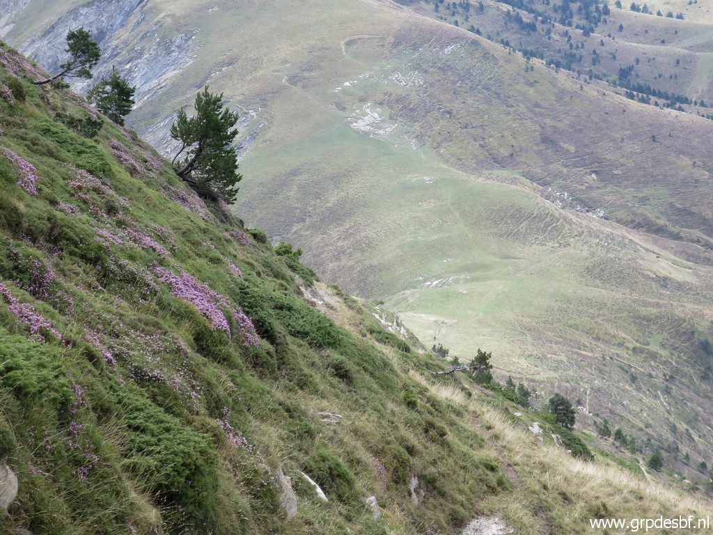
 | Getting closer to the fog. (click photo to enlarge) |
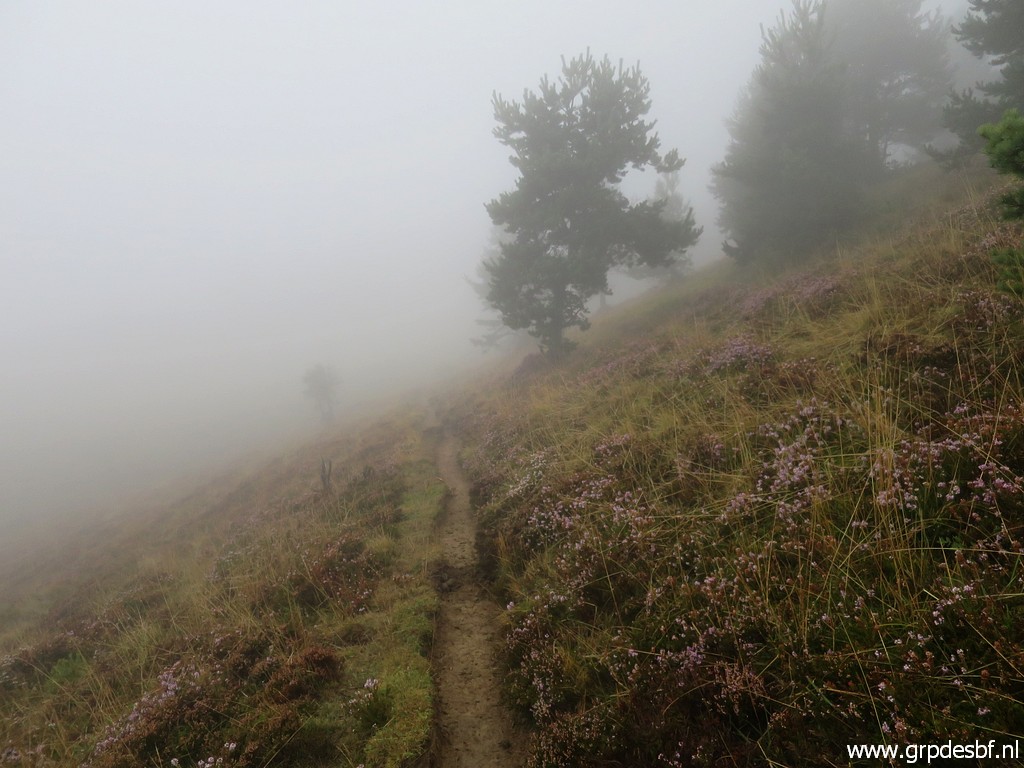 | In waves of fog, (click photo to enlarge) |
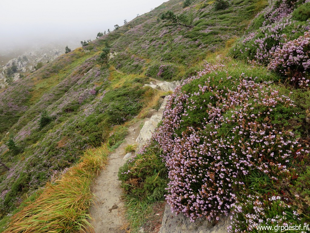 | I continue (click photo to enlarge) |
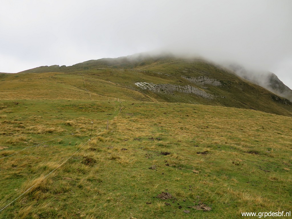
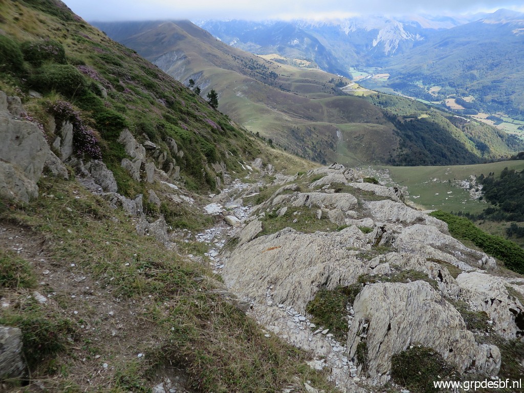
 | and climb further on steeply to this pass. (click photo to enlarge) |
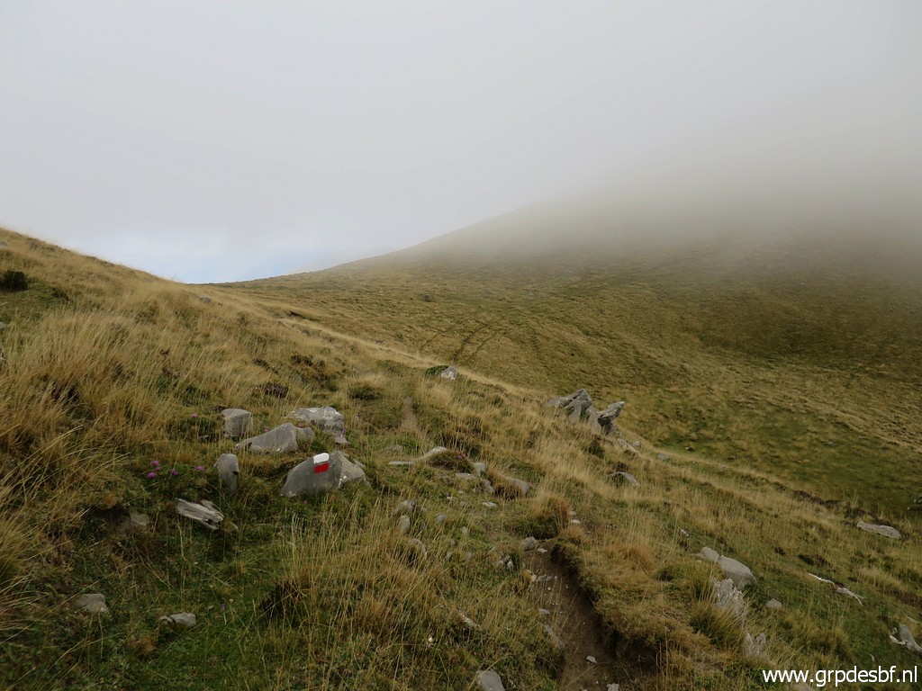
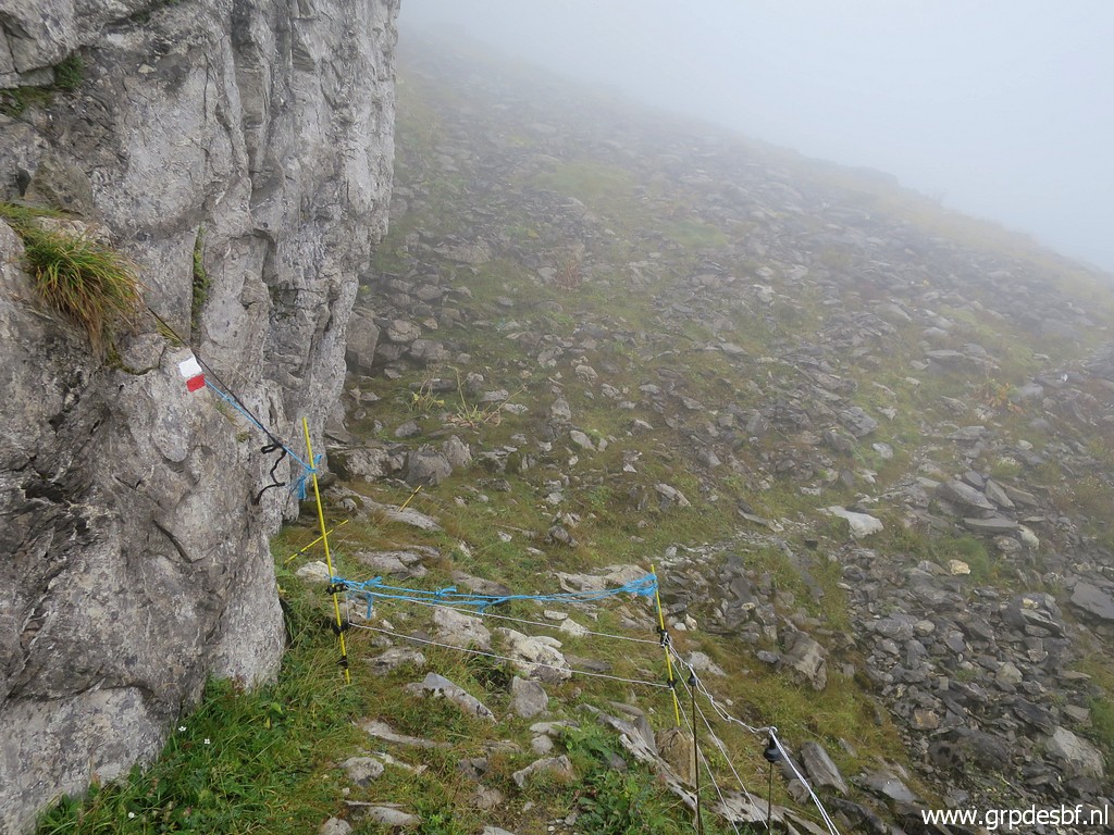 | Following the waymarks, (click photo to enlarge) |
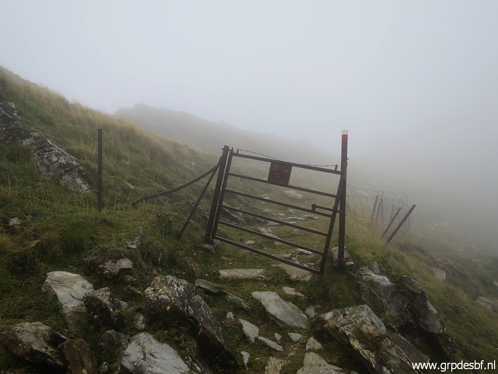 | I arrive at the gate which gives access (click photo to enlarge) |
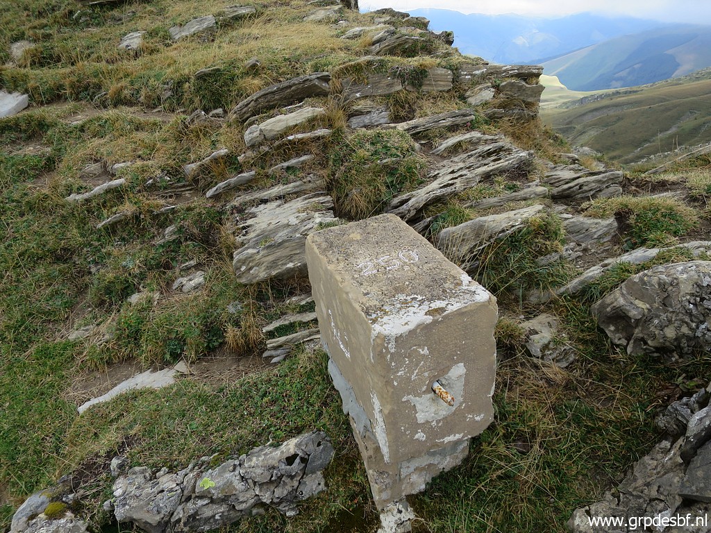
 | to Port de Belhay with bm250, broken in half since long. (click photo to enlarge) |
 | Bm250 (click photo to enlarge) |
 | Bm250 (click photo to enlarge) |
 | Bm250 (click photo to enlarge) |
 | Bm250, the two parts have now been 'glued' together. (click photo to enlarge) |
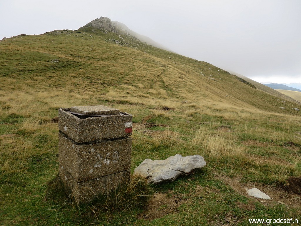
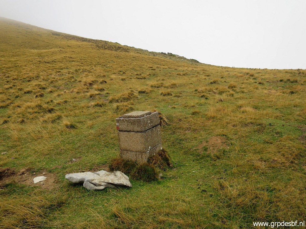 | On a trail along the mountainside to bm249. (click photo to enlarge) |
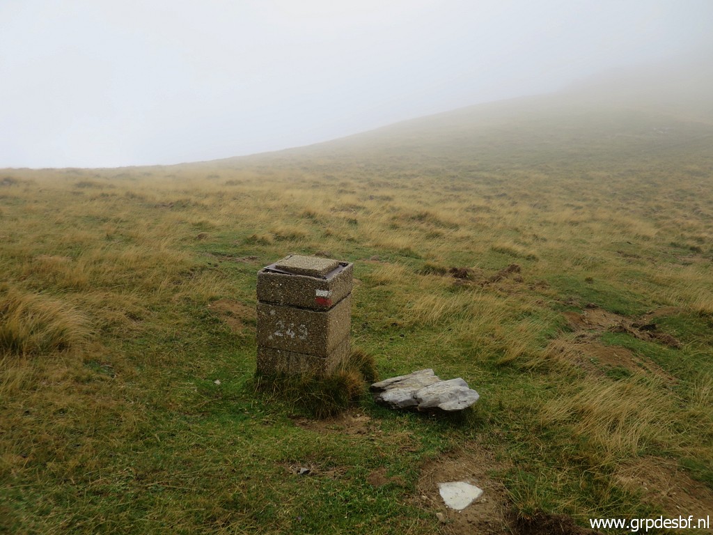 | Bm249 (click photo to enlarge) |
 | Bm249 (click photo to enlarge) |
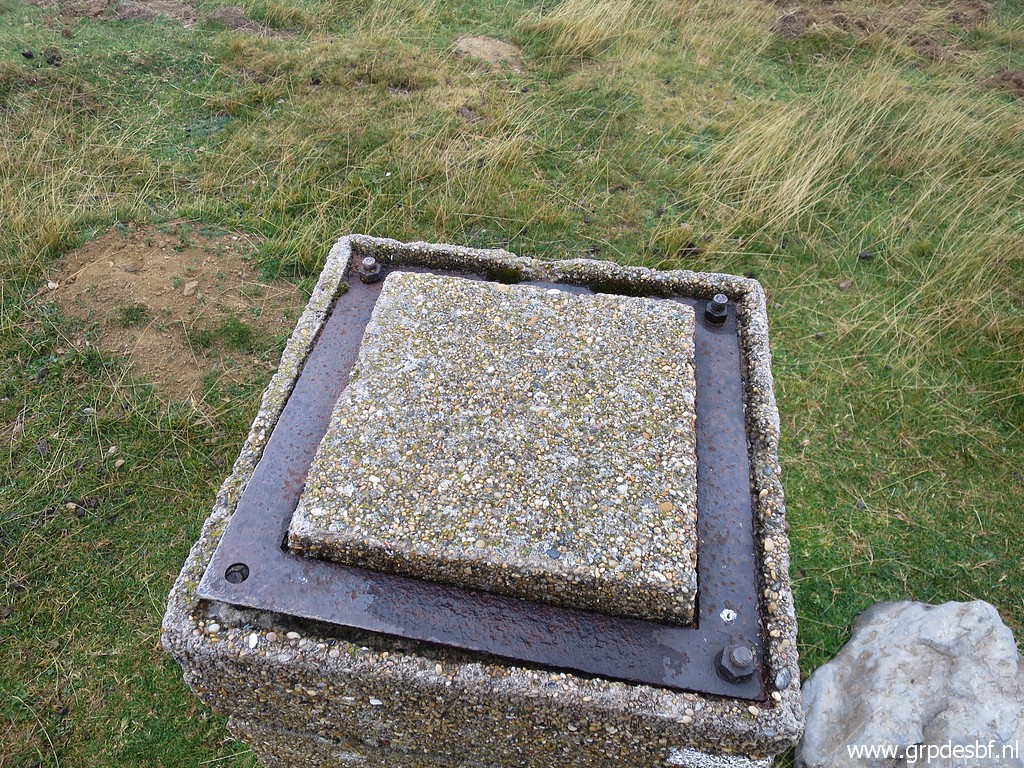 | Bm249 (click photo to enlarge) |
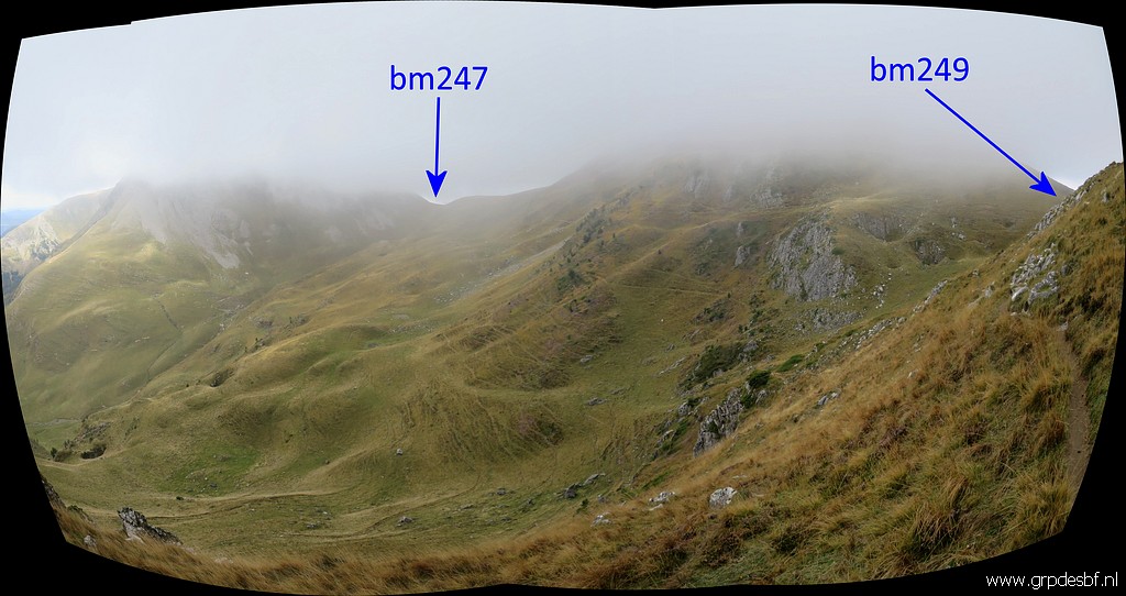
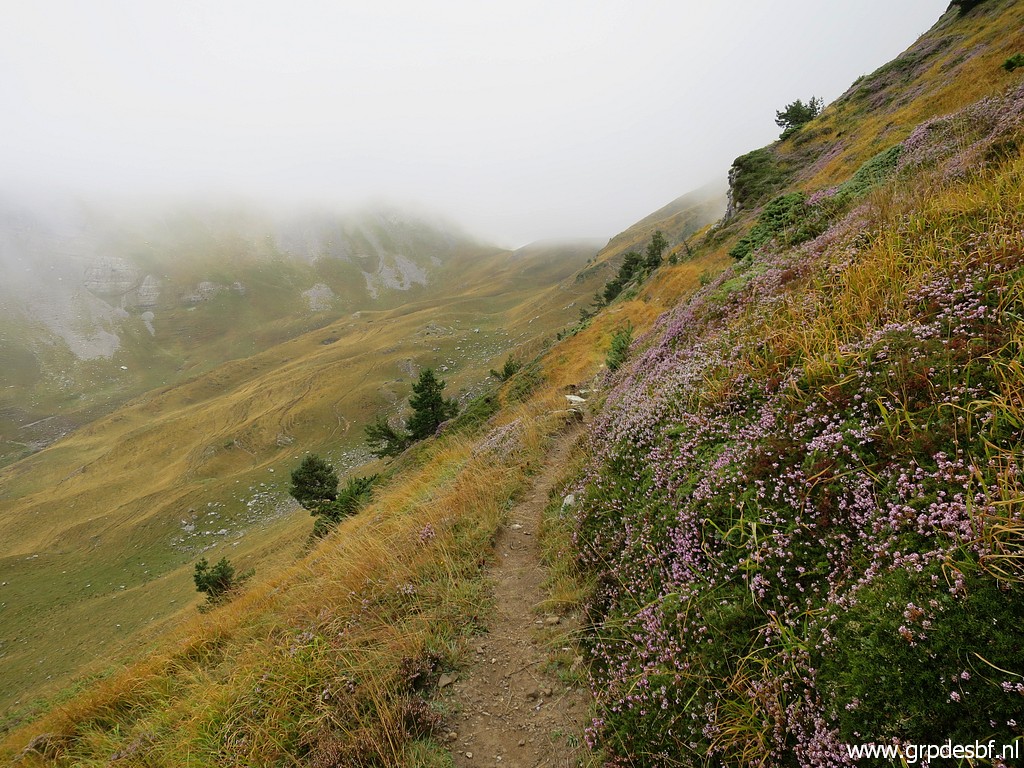 | And continuing towards (click photo to enlarge) |
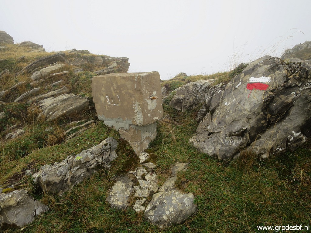
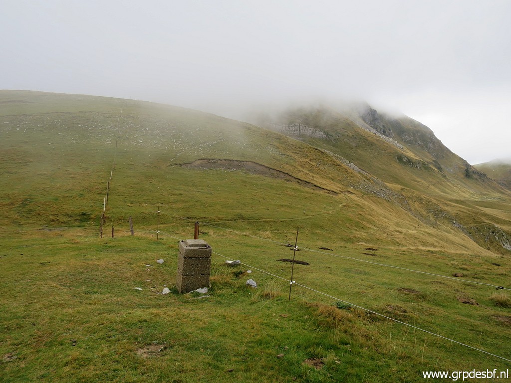
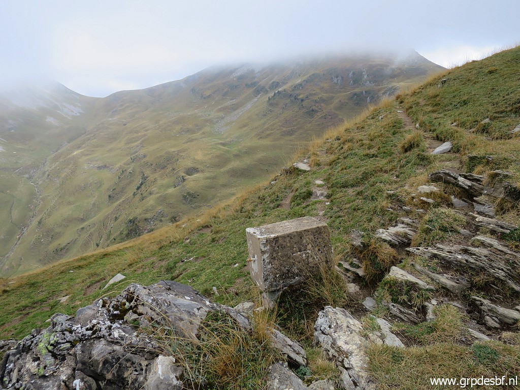
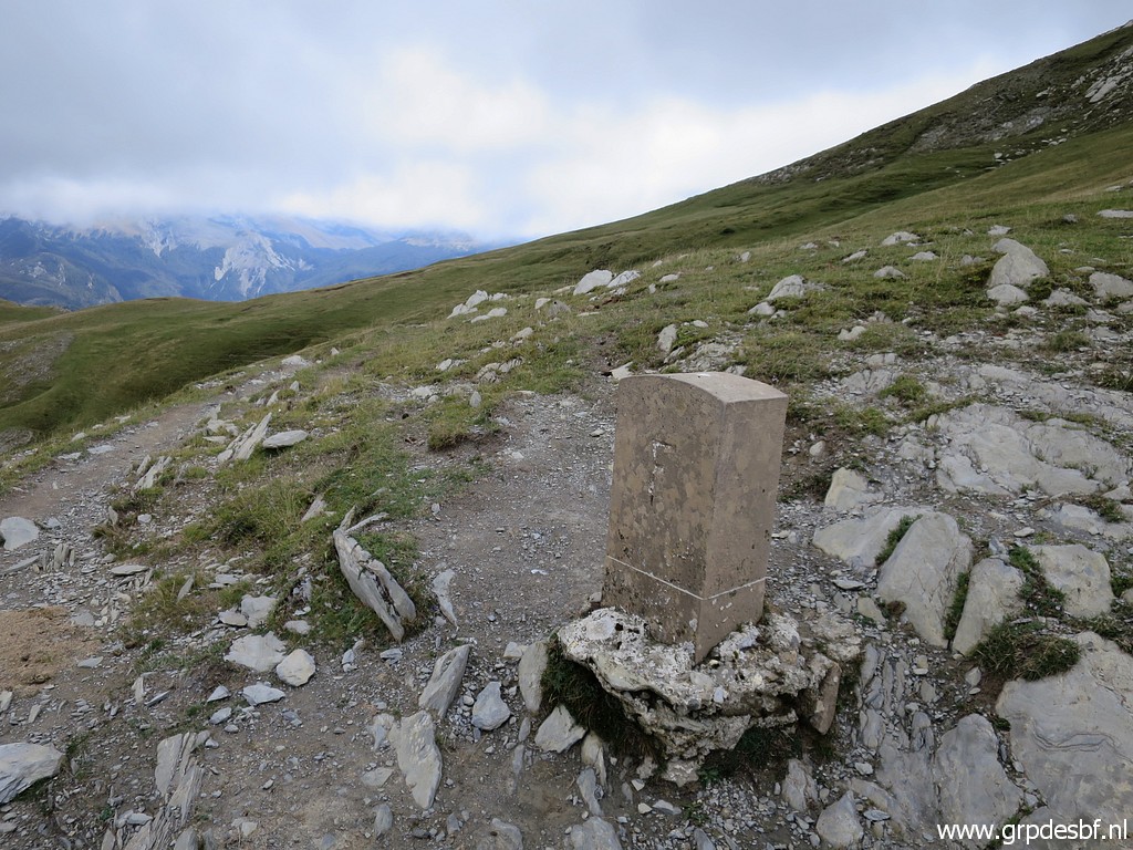
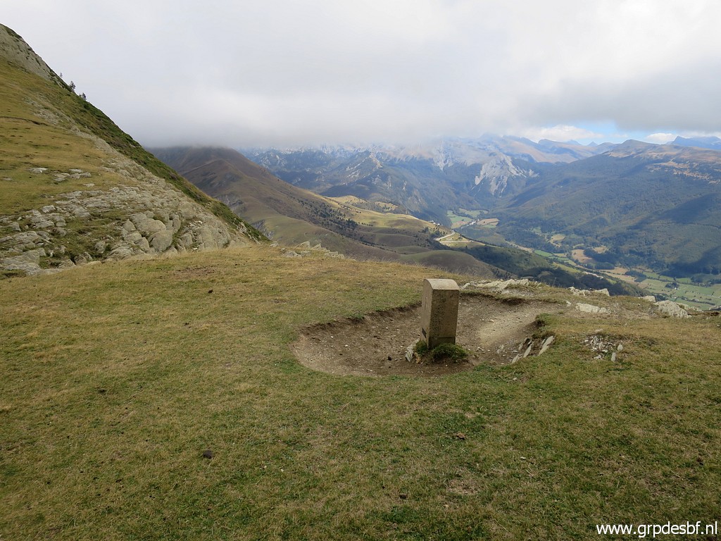
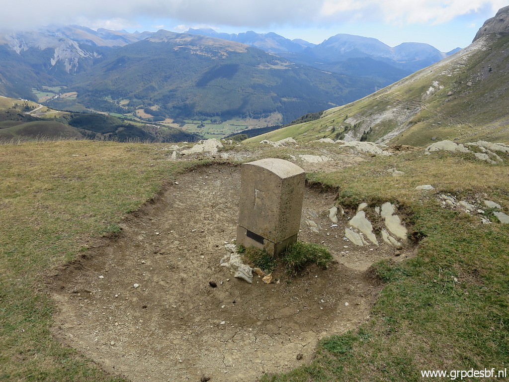
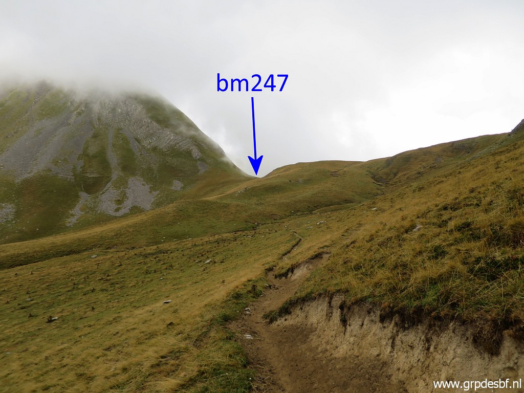 | the Portilla de la Pista with bm247. (click photo to enlarge) |
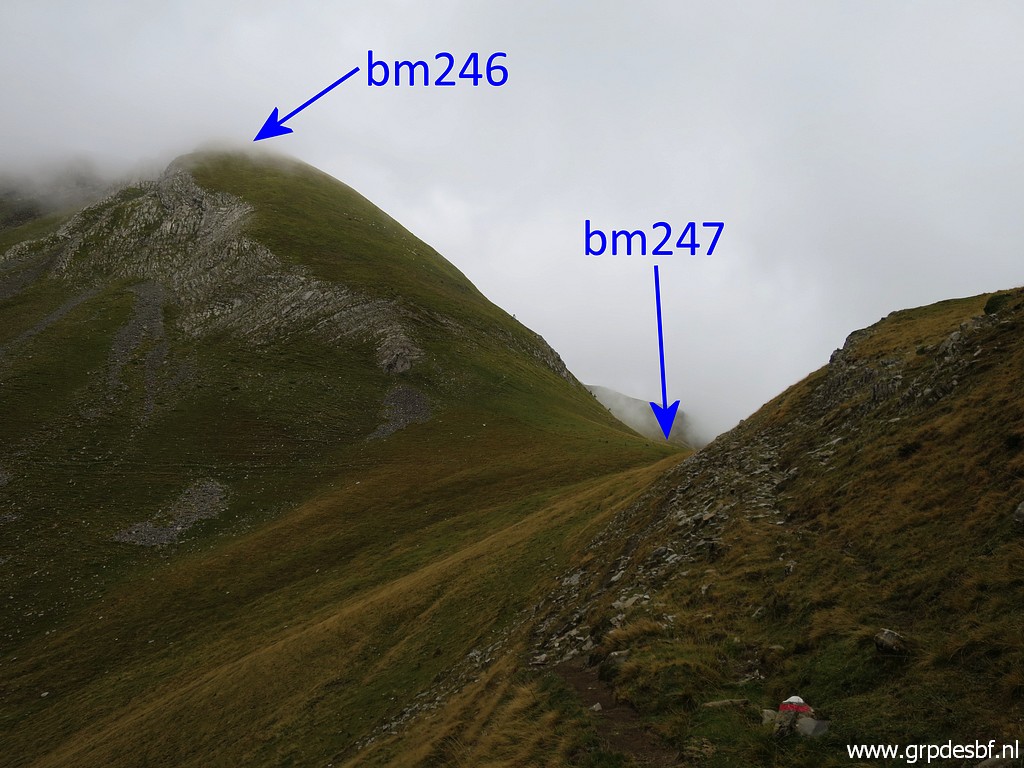 | Bm246 is a steep climb but there is a trail and it's not as difficult as it looks. I did the descent from bm246 to 247 on 20090602. (click photo to enlarge) |
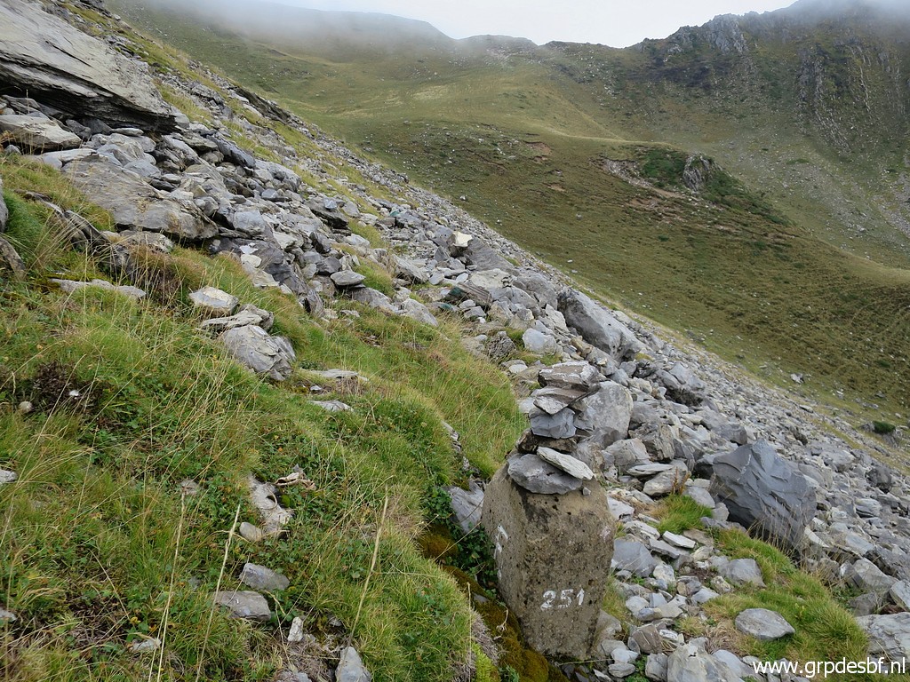
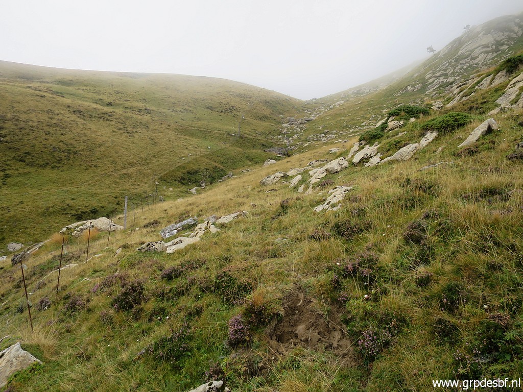
 | Getting closer to bm247, still on the red-white trail. (click photo to enlarge) |
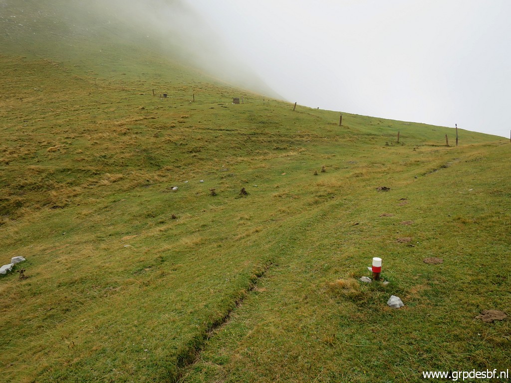
 | Bm247 is visible along the fence. (click photo to enlarge) |
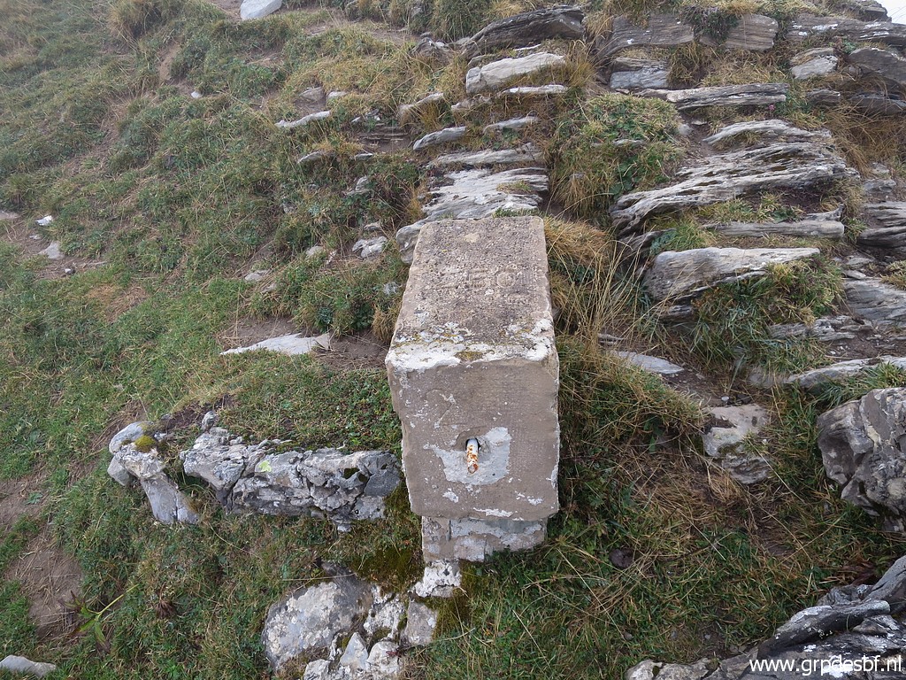
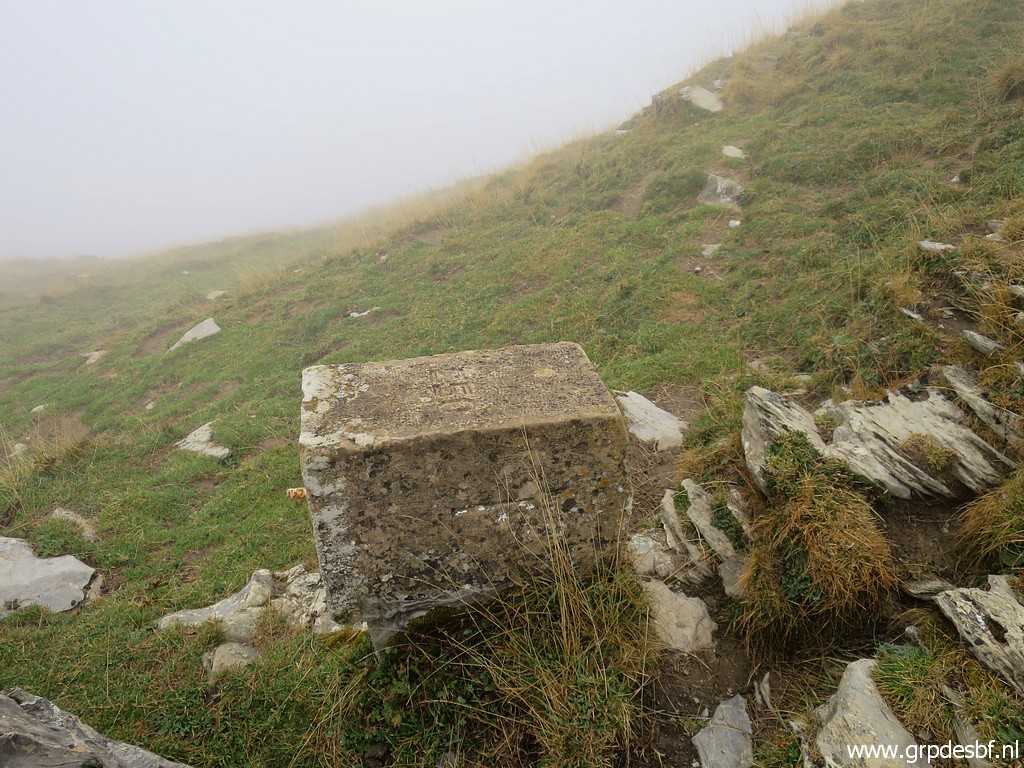
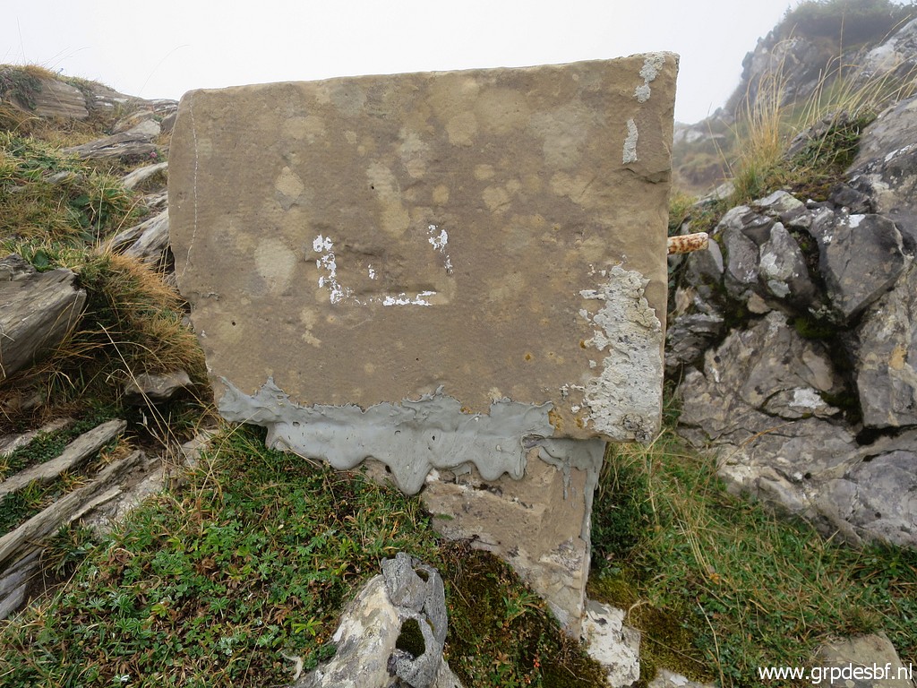
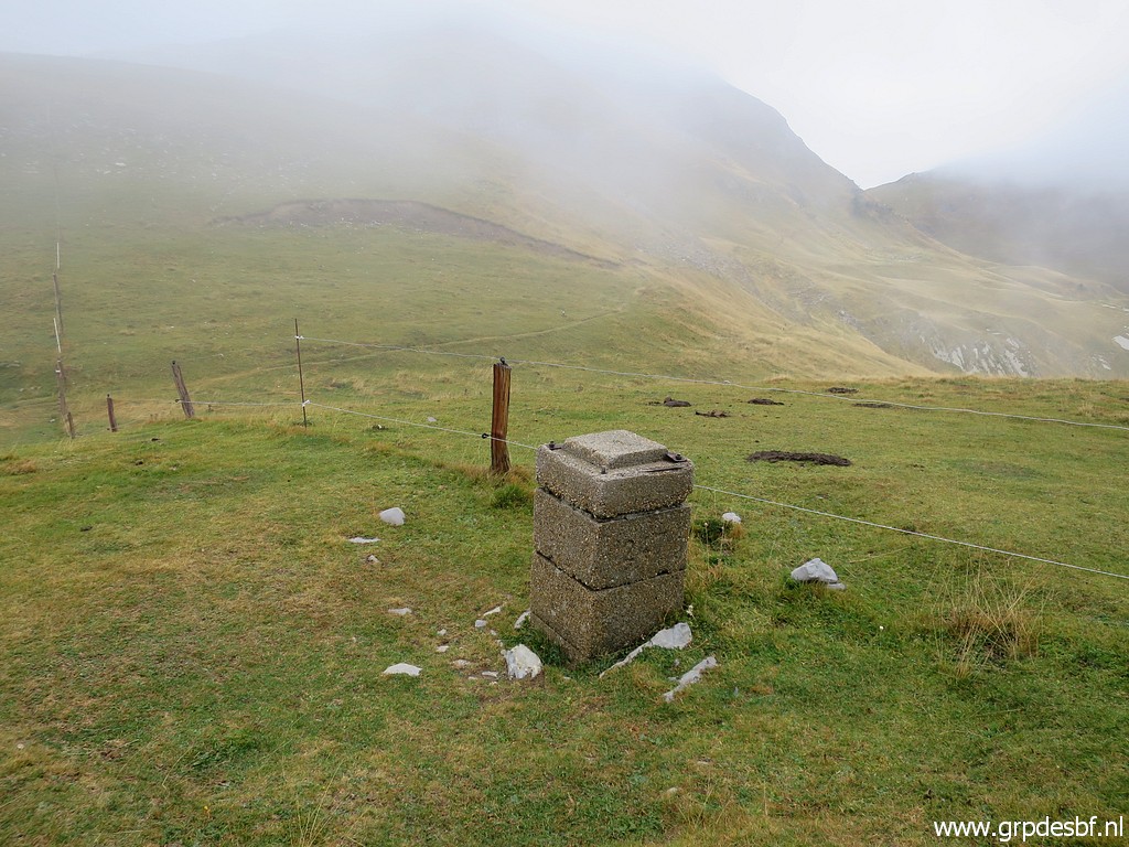 | Bm247 (click photo to enlarge) |
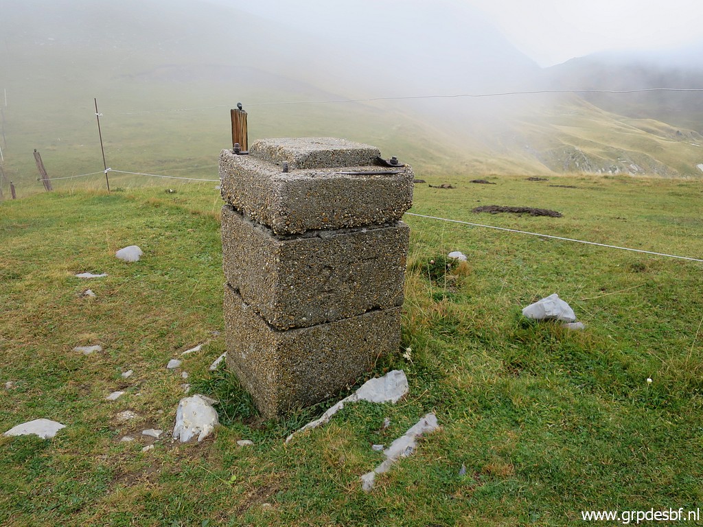 | Bm247 (click photo to enlarge) |
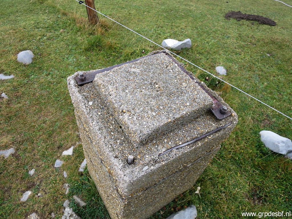 | Bm247 (click photo to enlarge) |
 | Bm247 (click photo to enlarge) |
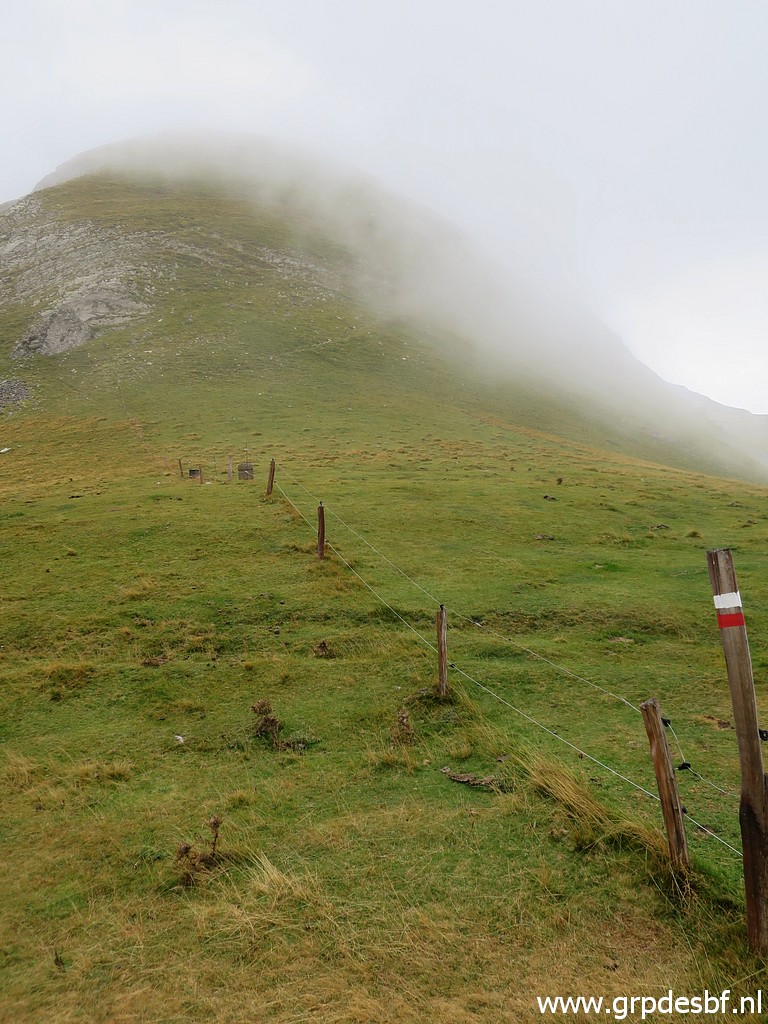
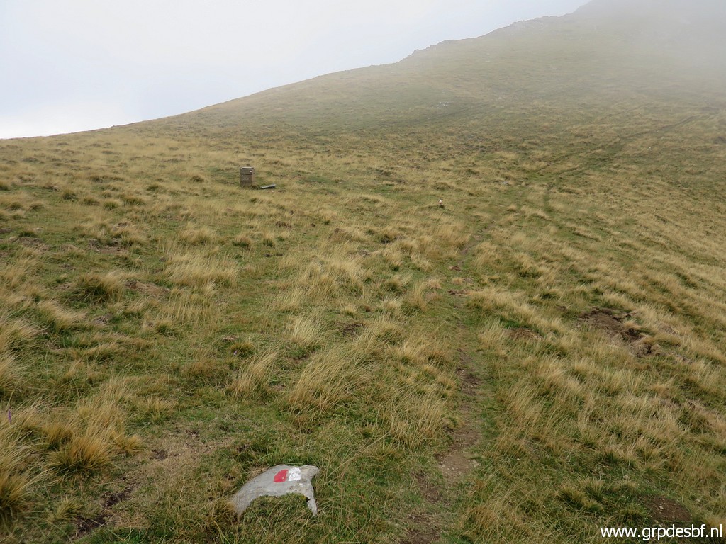
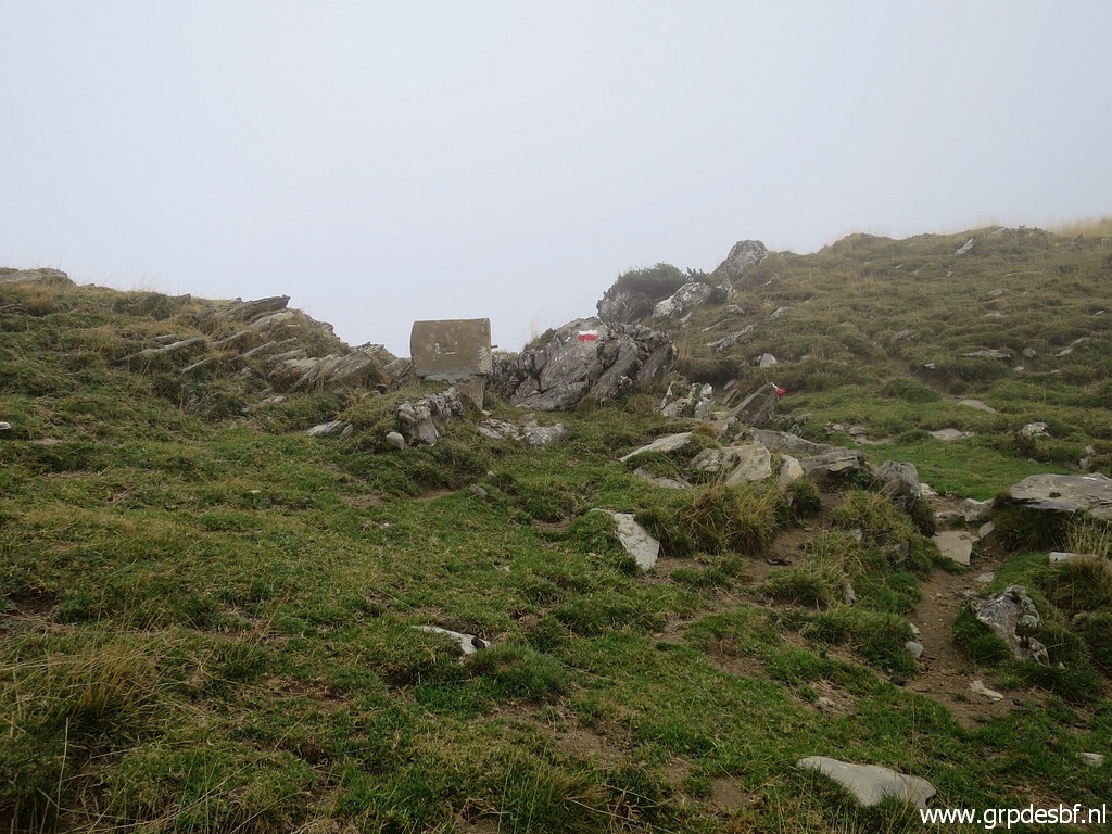
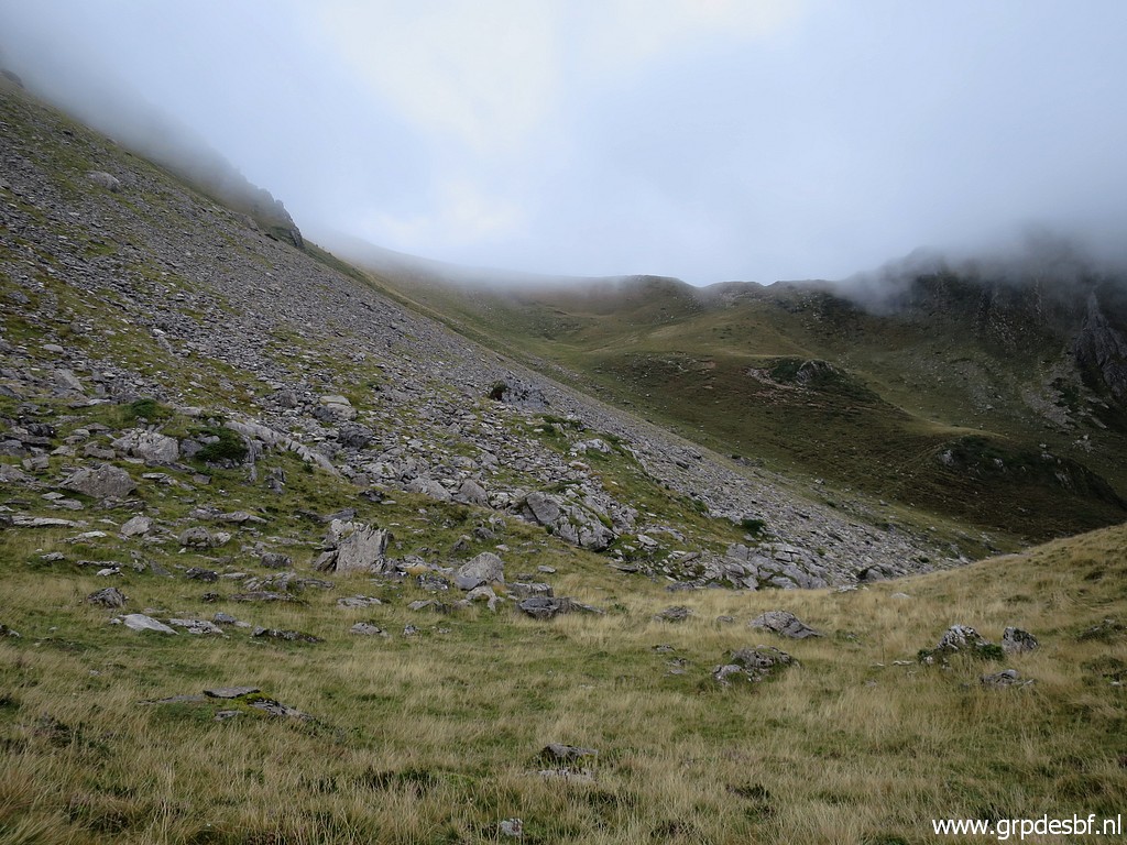
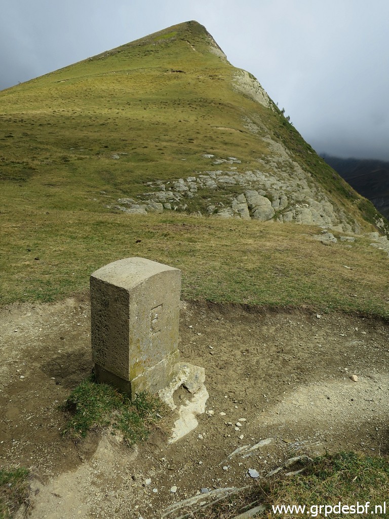
 | Then climbing NE to bm248. (click photo to enlarge) |
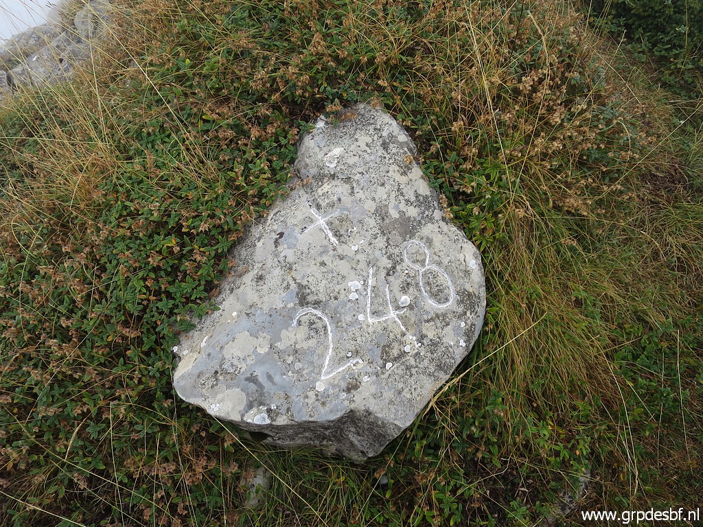
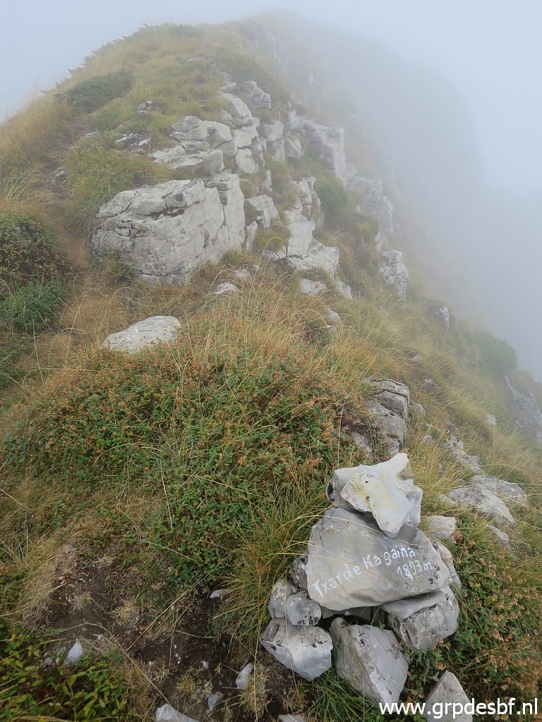
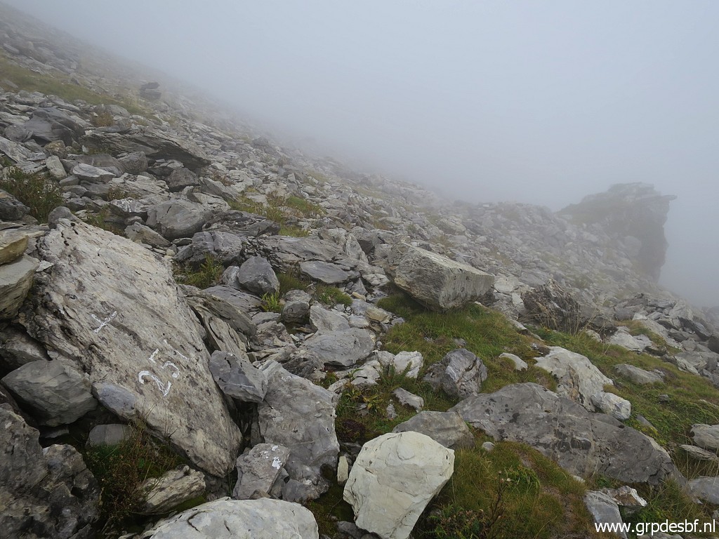
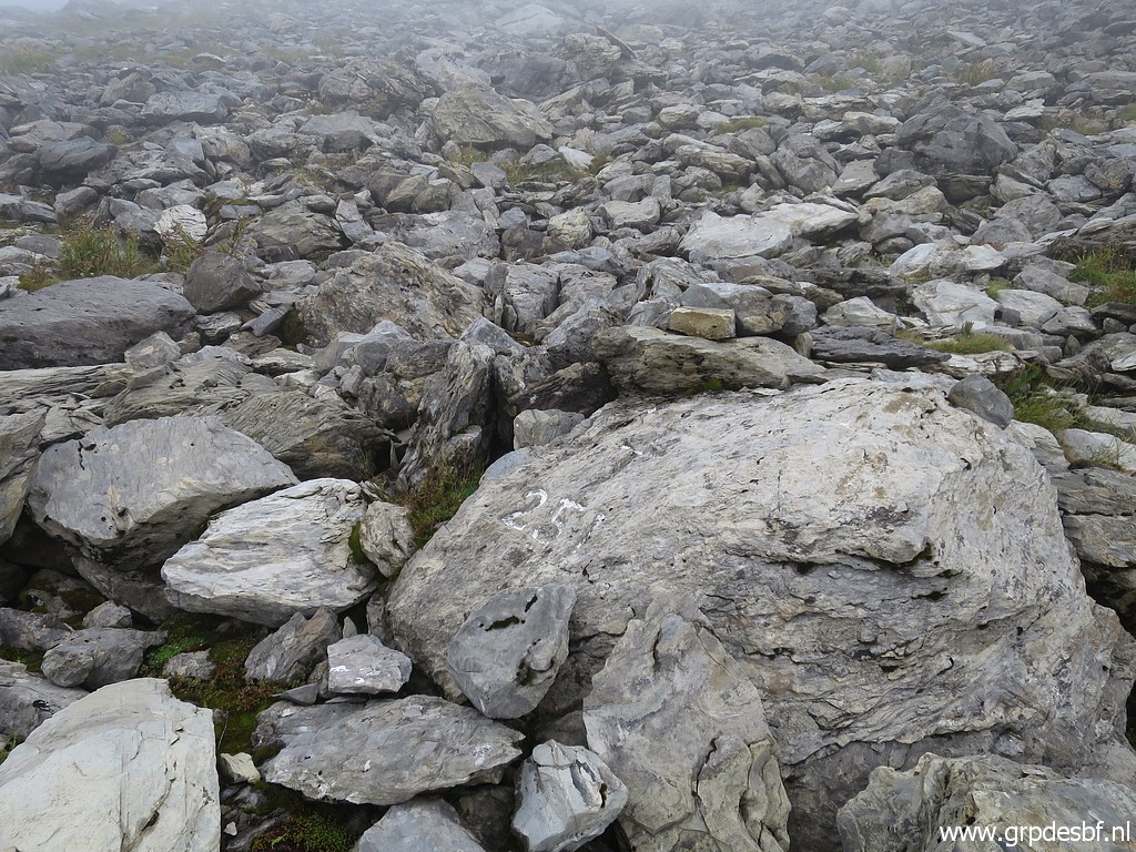
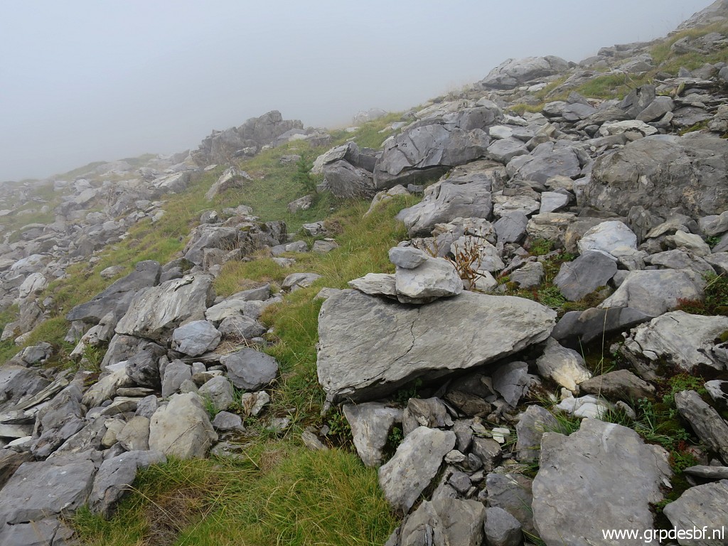
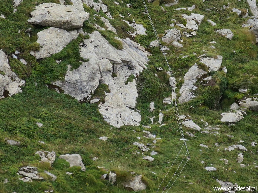
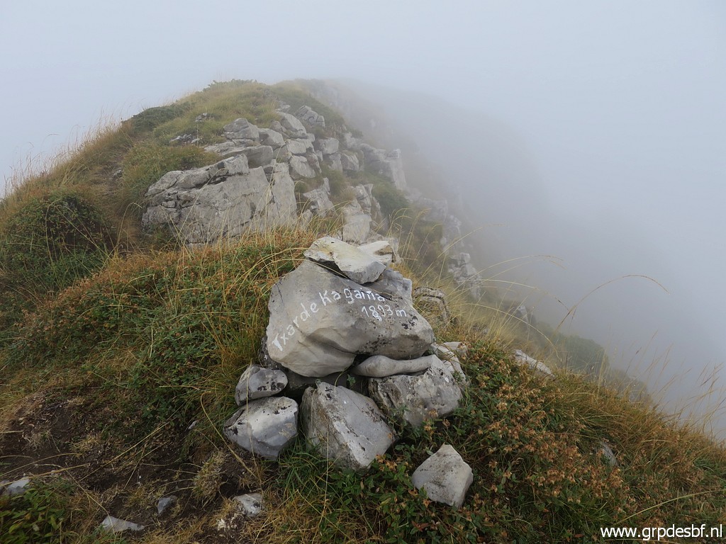 | In the end it's a tough climb on the steep grassy hill to the ridge. There I find this cairn but I can't find bm248.... (click photo to enlarge) |
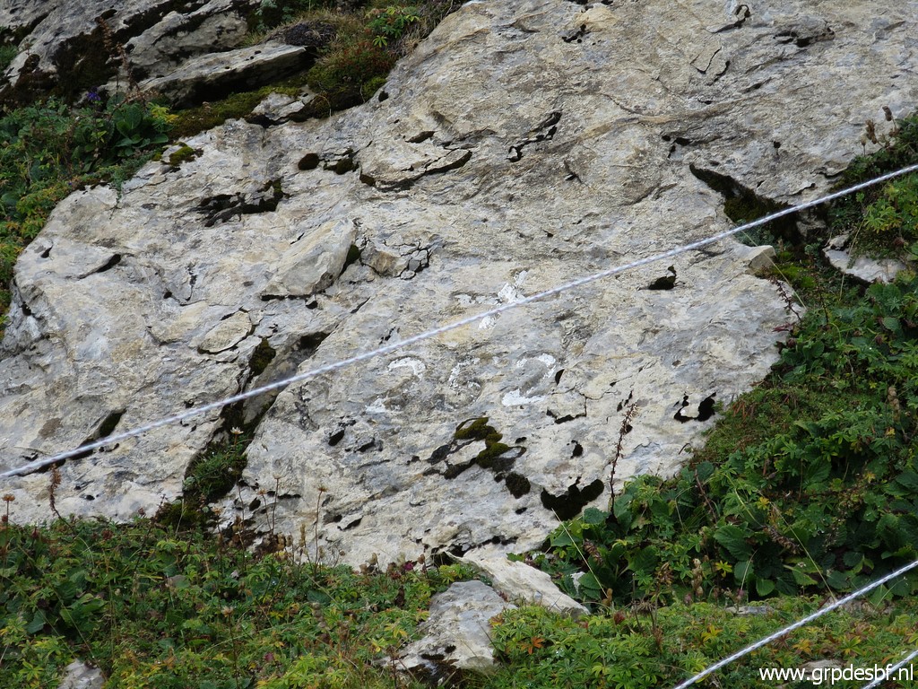
 | It
takes me quite a time to find bm248. It is this rock, partly
overgrown and the cross and number hardly visible without paint or
chalk. (click photo to enlarge) |
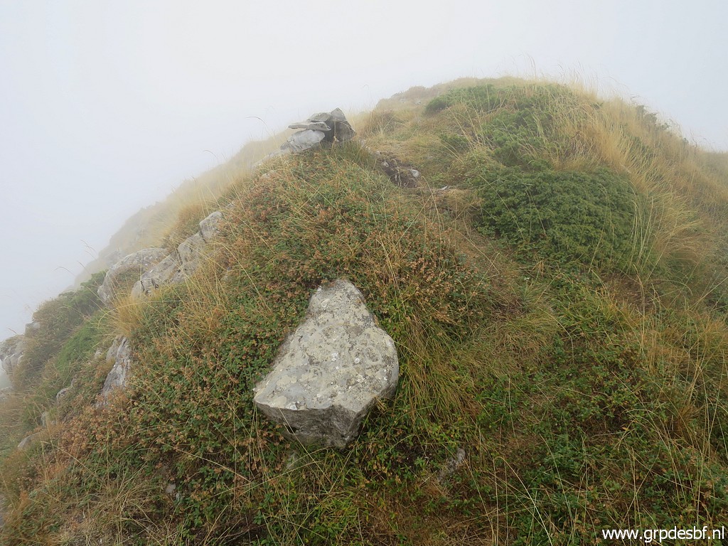
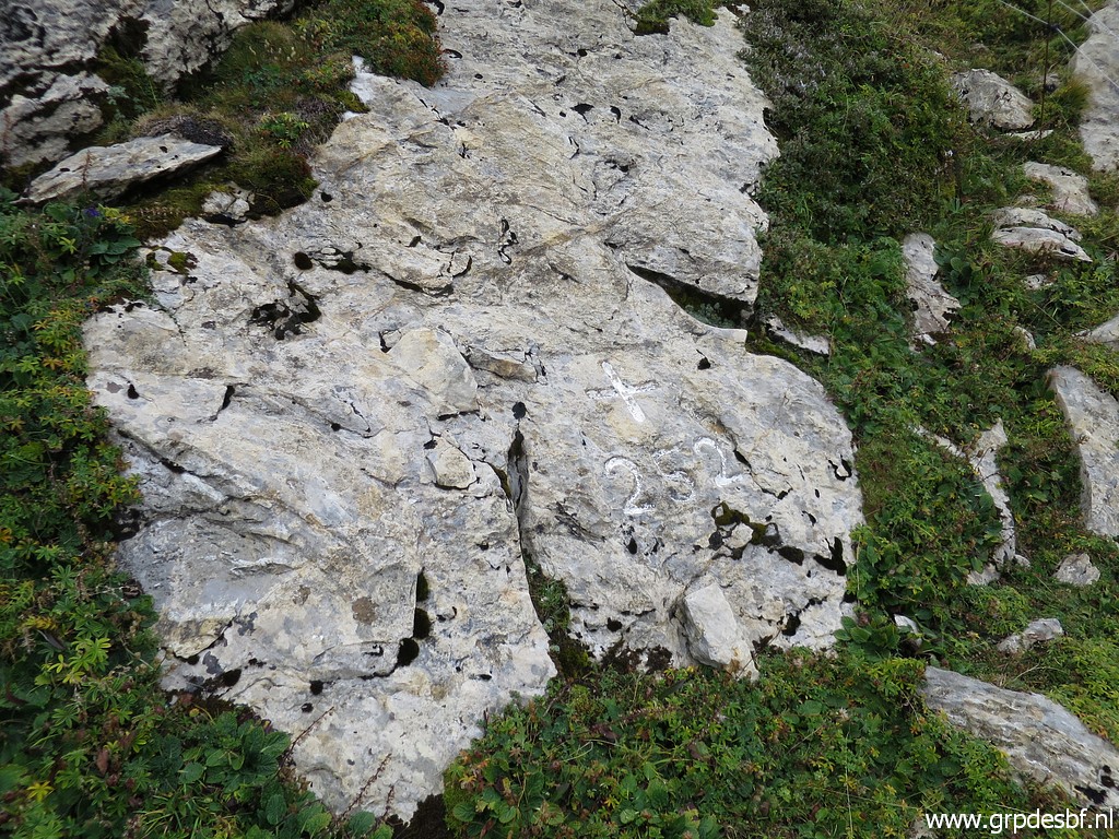
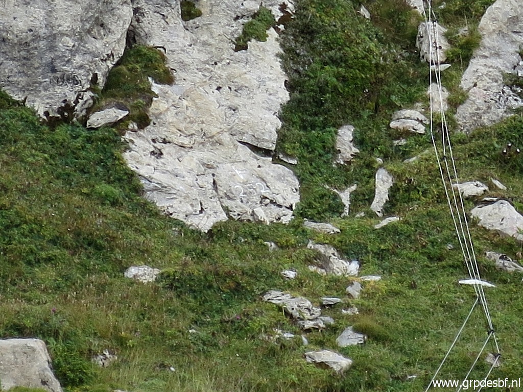
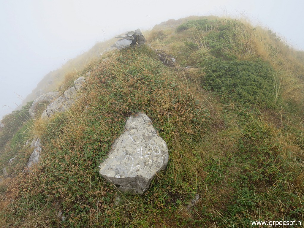 | Bm248, now with chalked cross and number. In the background you can see the cairn. (click photo to enlarge) |
 | Bm248 (click photo to enlarge) |
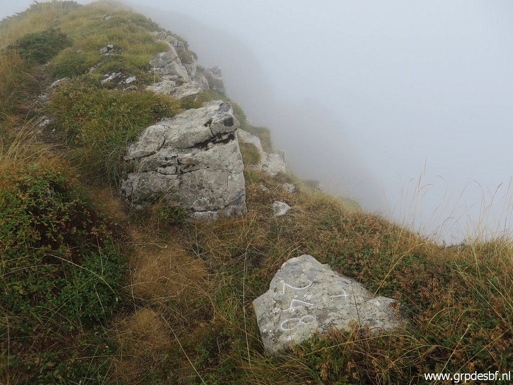 | Bm248, looking E. (click photo to enlarge) |
 | Bm248, as seen in the background of the cairn in front. (click photo to enlarge) |
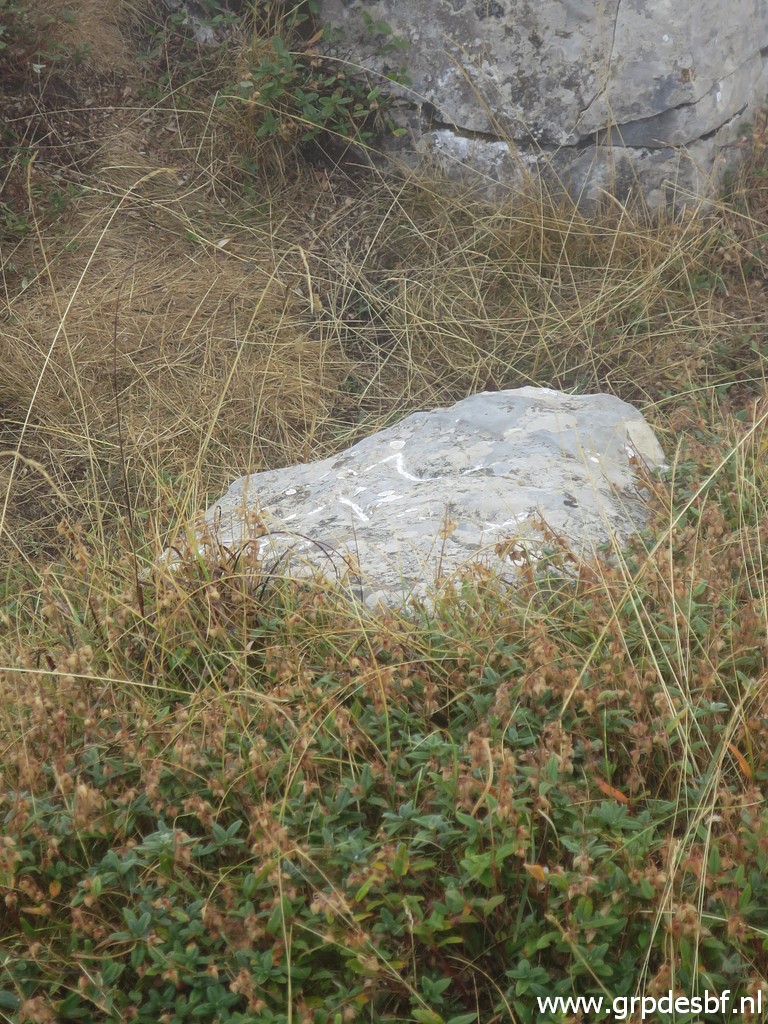 | Zoom-in to bm248. (click photo to enlarge) |
 | I descend back and return. It's too cold for a coffee break, I eat my crackers and drink water while walking. (click photo to enlarge) |
 | The trail along the mountainside, back to bm249. (click photo to enlarge) |
 | Arriving at the pass with bm249. (click photo to enlarge) |
 | Bm249, once again. (click photo to enlarge) |
 | Bm249 (click photo to enlarge) |
 | Bm249 (click photo to enlarge) |
 | Bm249 (click photo to enlarge) |
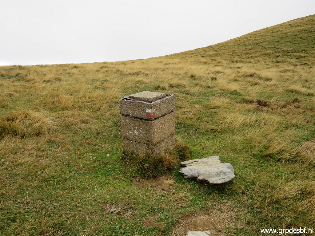
 | Now I am back at approximately Port de Belhay (bm250) and I look back. In the cold wind and the drizzle, my hands have become very cold. (click photo to enlarge) |
 | Back at bm250. (click photo to enlarge) |
 | Bm250 (click photo to enlarge) |
 | Bm250, in the far distance to the left the pass with bm247. (click photo to enlarge) |
 | Bm250 (click photo to enlarge) |
 | Bm250 (click photo to enlarge) |
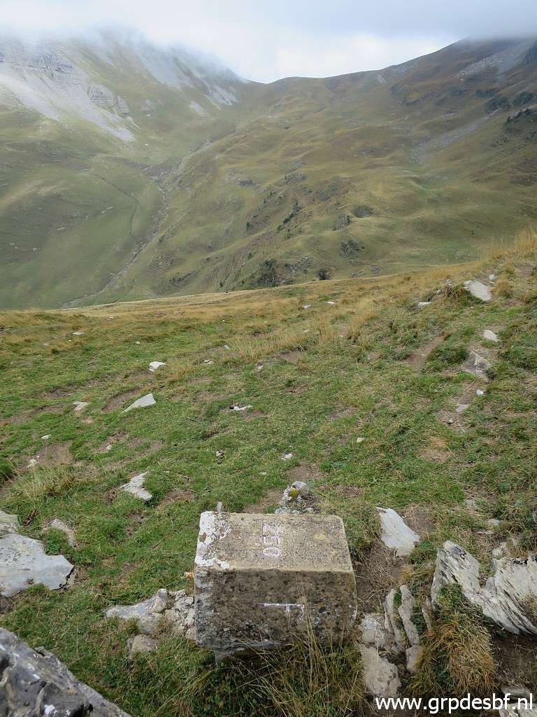 | Bm250 (click photo to enlarge) |
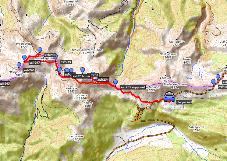
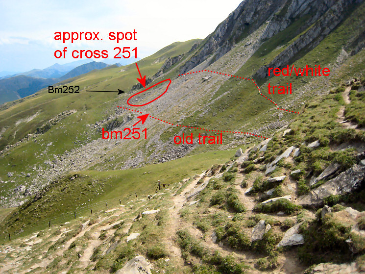
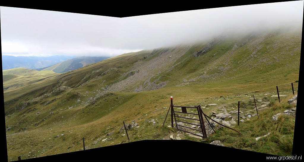
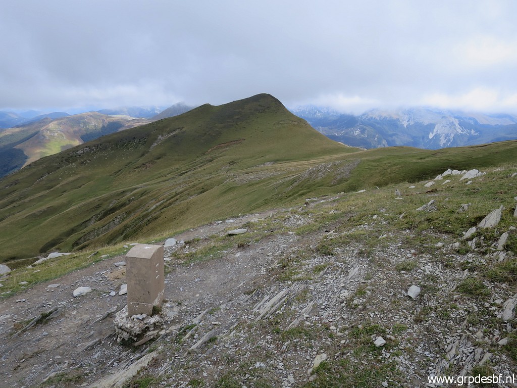
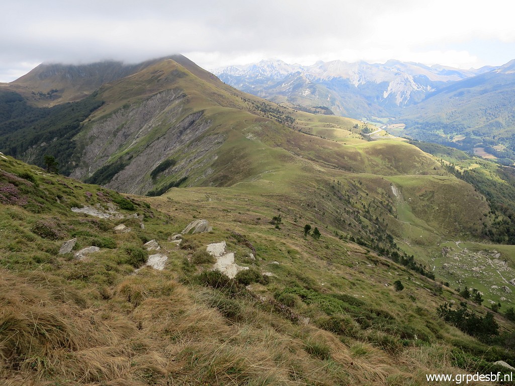
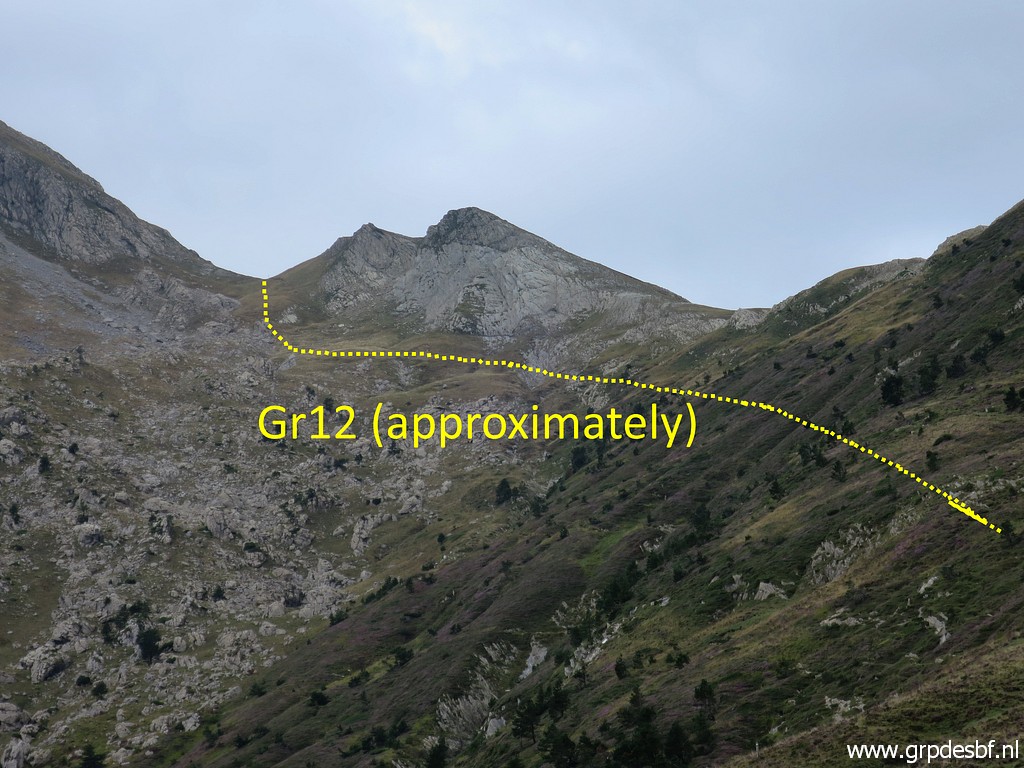
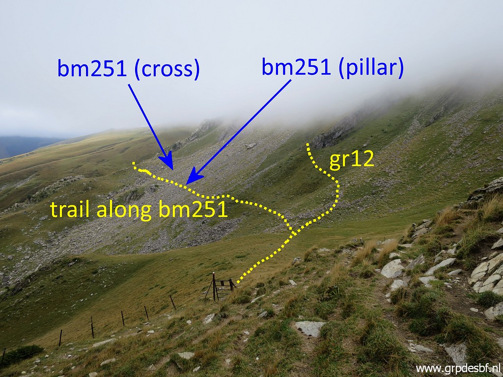 | From the Port de Belhay this view ahead. The GR12 is where I came from. I will now return via bm251-255. (click photo to enlarge) Hereunder a better 'map' of the situation, picture made about 10 years ago: |
 |
|
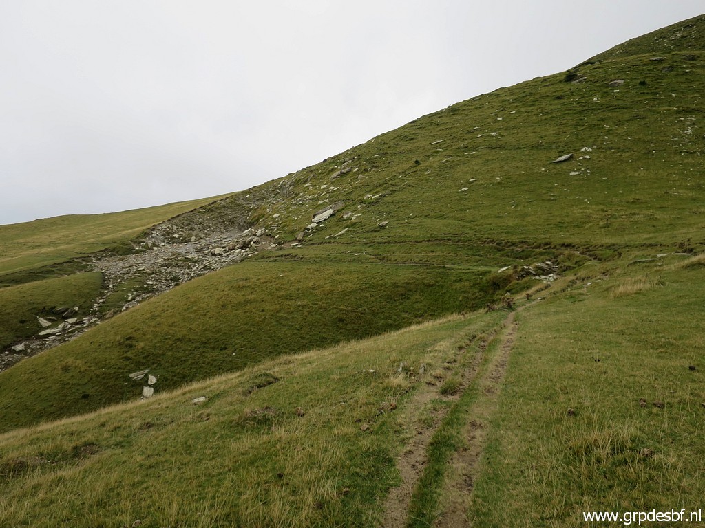
 | The GR12 is well visible (and is waymarked) whereas the trail along bm251 is vaguer. (click photo to enlarge) |
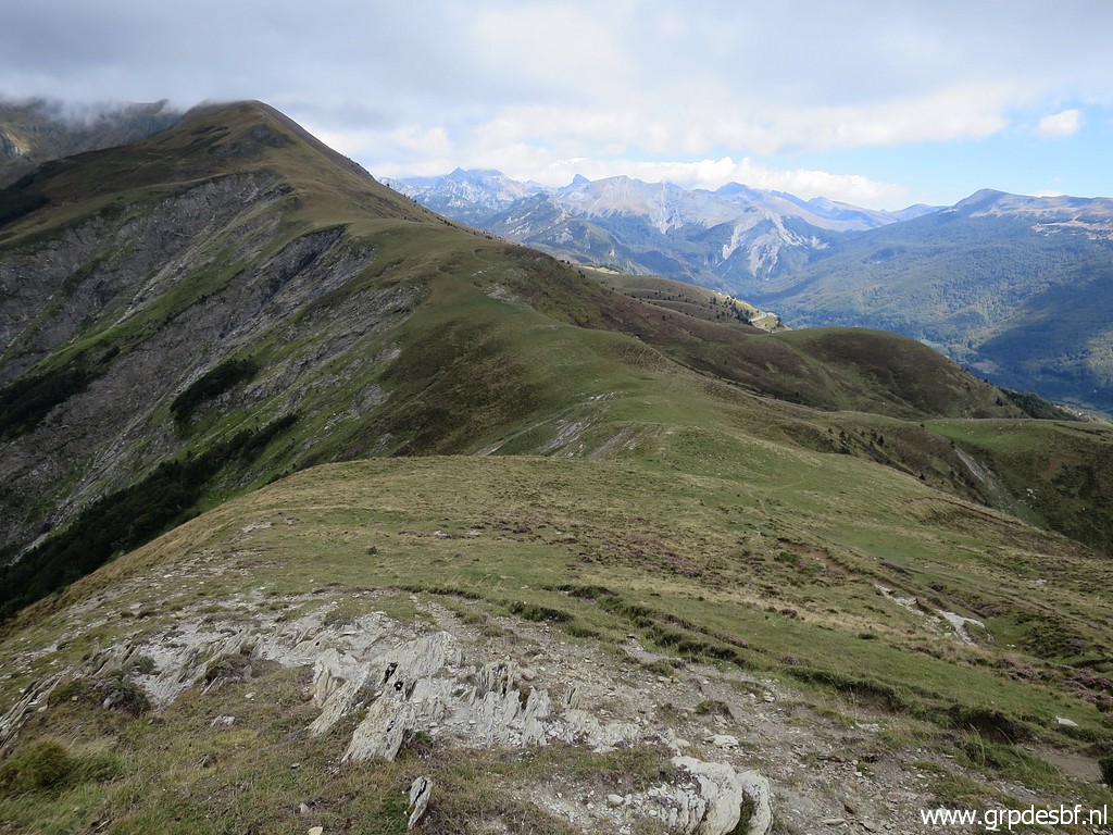
 | The sky has cleared a bit. (click photo to enlarge) |
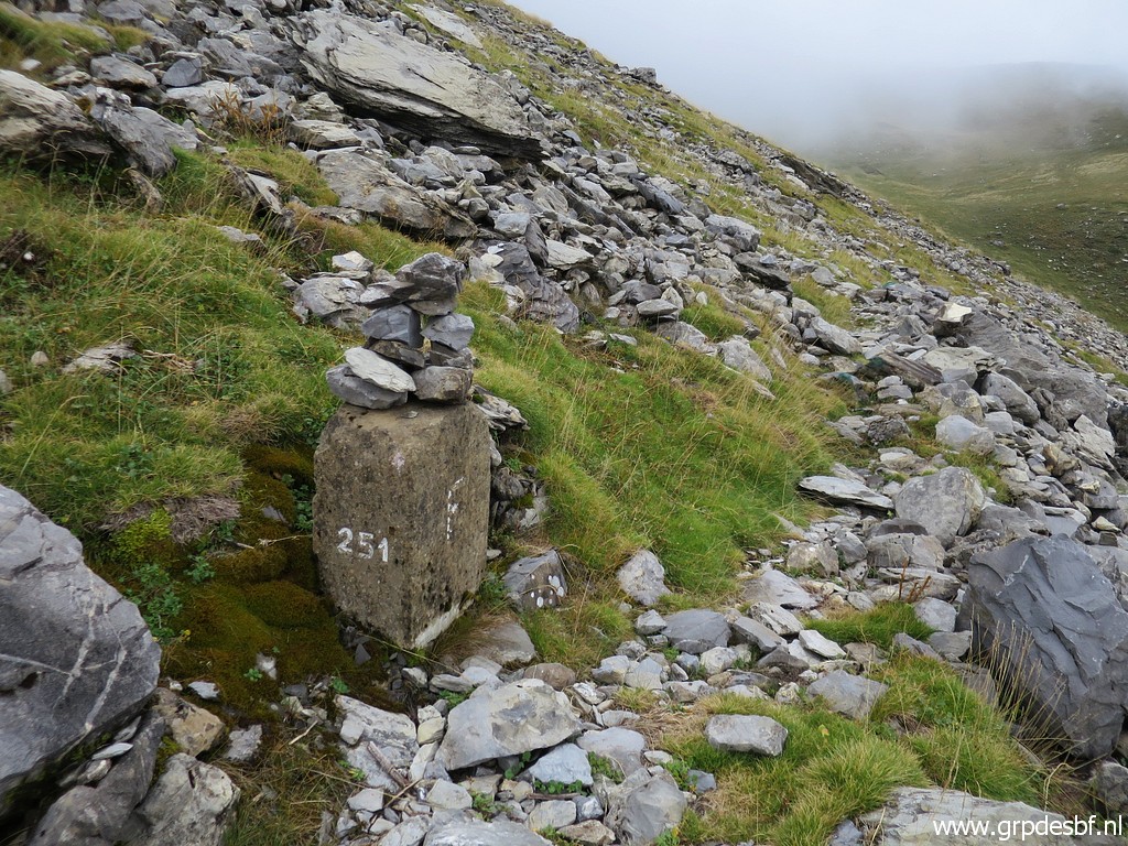
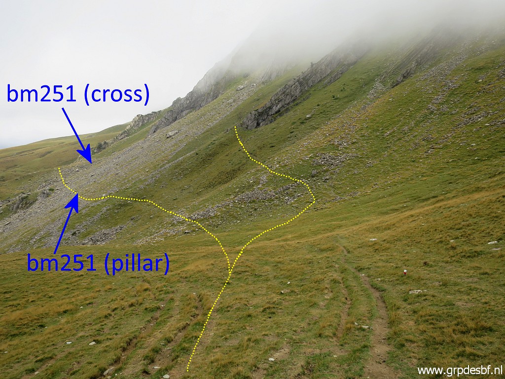 | Taking the trail along the two 251-markers. (click photo to enlarge) |
 | The trail is waymarked here and there with cairns and blue paint. Further on there is (click photo to enlarge) |
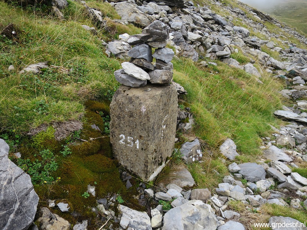
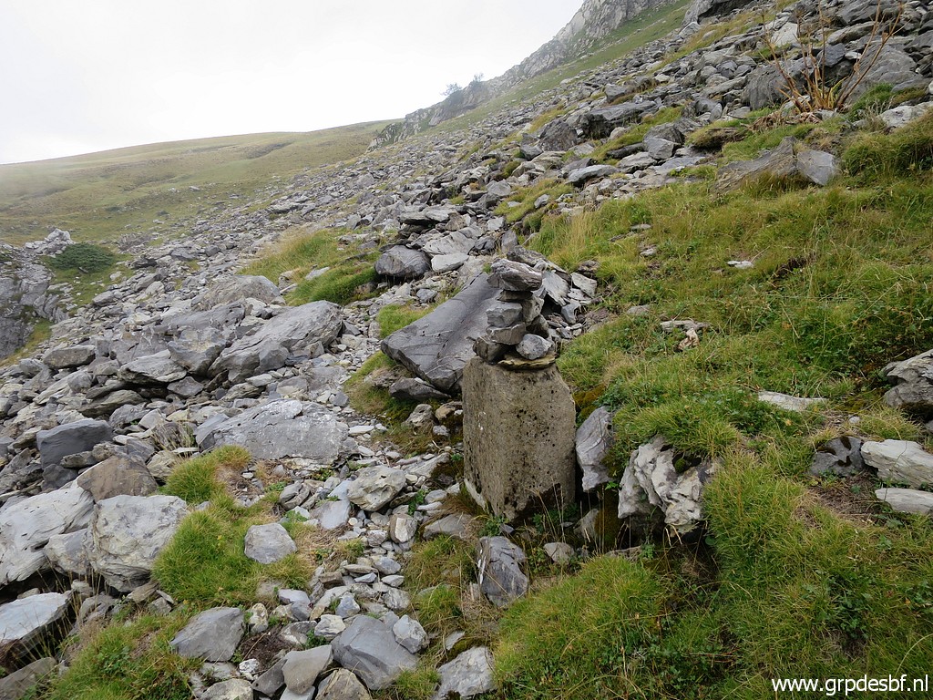 | the bm251-pillar It is unknown why the bm251-cross (±55m SEE from here) has been complemented (or replaced?) by this pillar. Was the bm251-cross considered as being lost? Or did they decide on a different course of the border? (click photo to enlarge) |
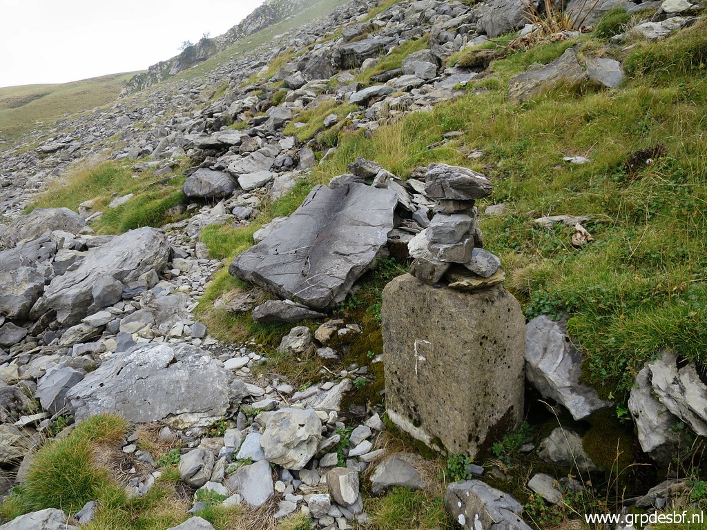 | Bm251-pillar It is the same model as bm250. (click photo to enlarge) |
 | Bm251-pillar (click photo to enlarge) |
 | Bm251-pillar (click photo to enlarge) |
 | Bm251-pillar with a view back to Port de Belhay. (click photo to enlarge) |
 | Bm251-cross This marker is ±55m SEE from bm251-pillar and ±20m S from the trail. (click photo to enlarge) |
 | Bm251-cross (click photo to enlarge) |
 | Bm251-cross (click photo to enlarge) |
 | Back on the trail. (click photo to enlarge) |
 | Bending around a hillridge looking ahead and (click photo to enlarge) |
 | and a last view back to the rockfall with the bm251-markers and the Port de Belhay. (click photo to enlarge) |
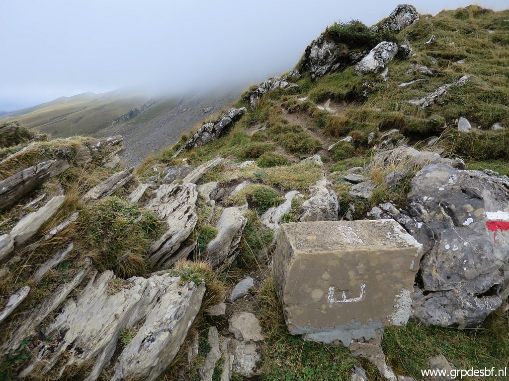
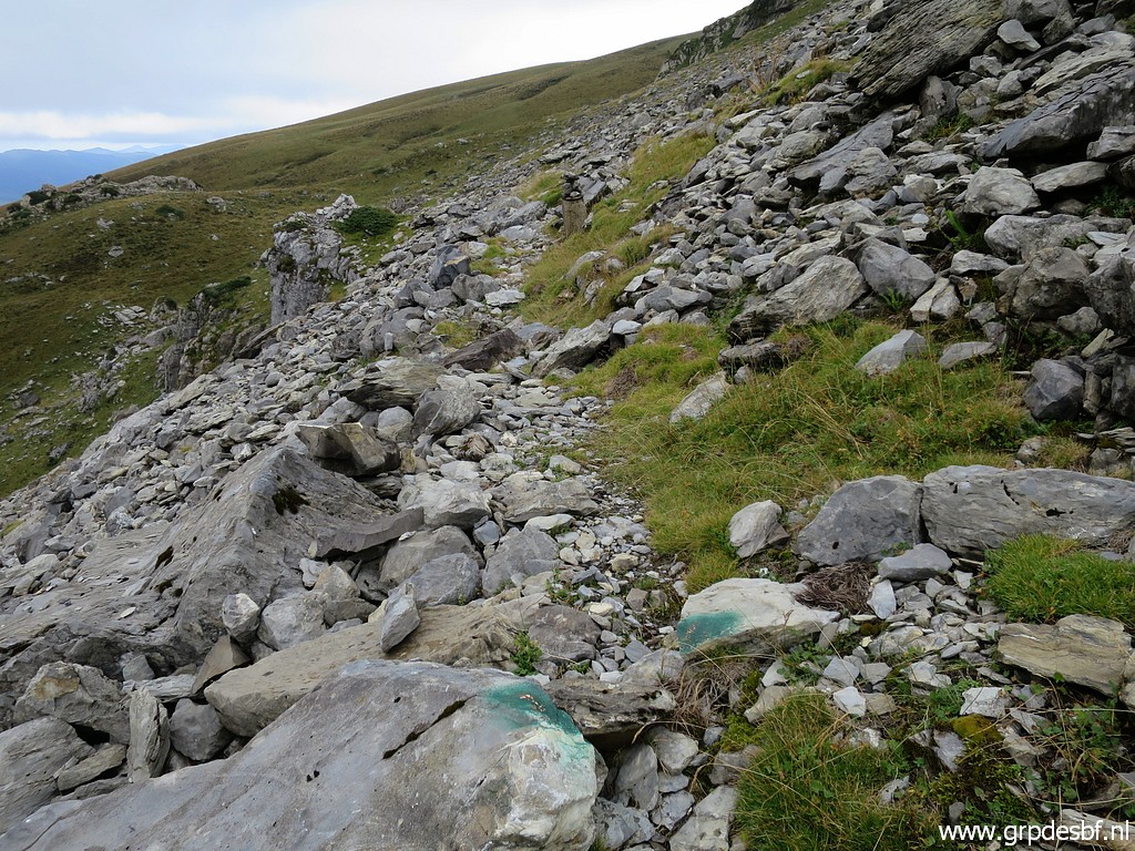
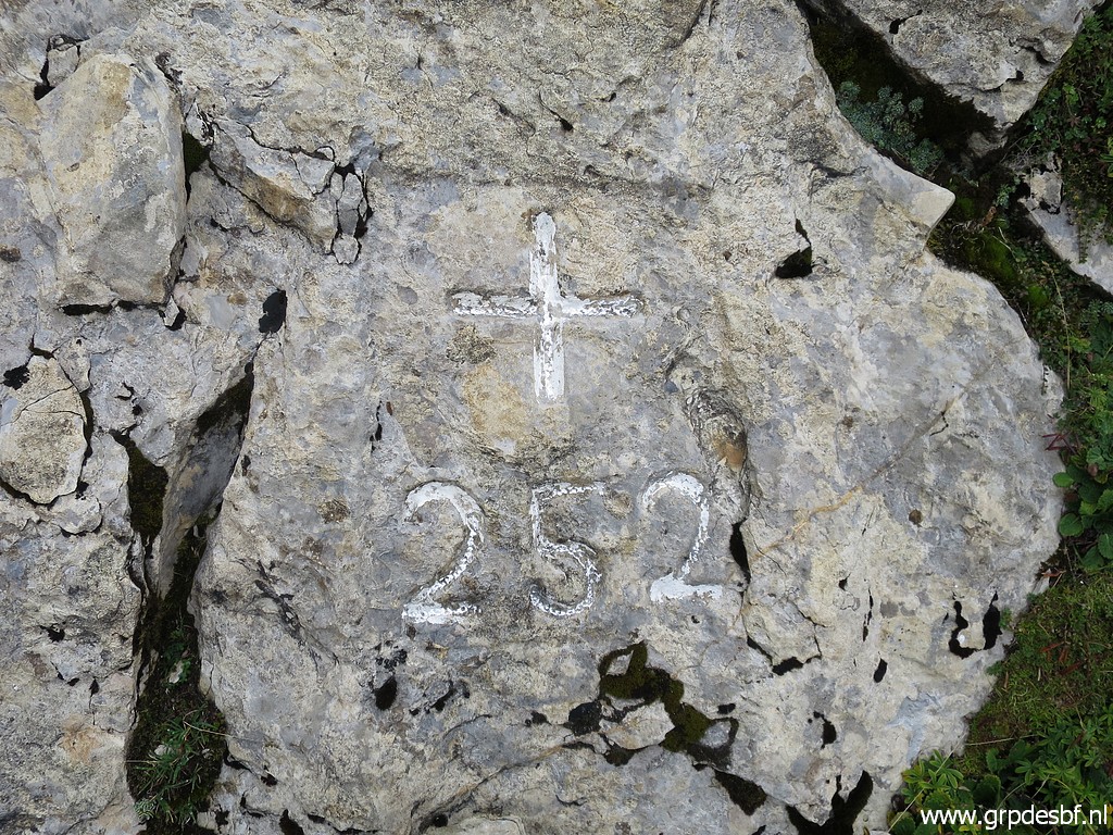
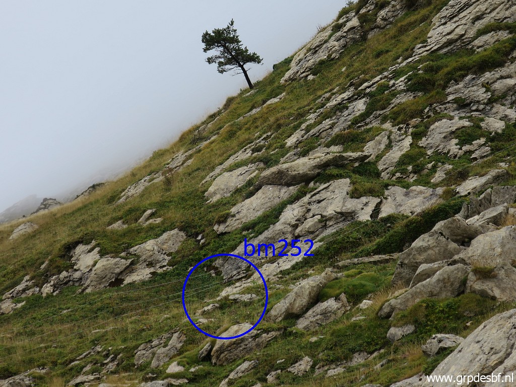
 | Bm252 is nearby but not that easy to find in the midst of rocks. Note the route to bm253: that is is on a SEE-course straight uphill (no trails) for 325m to a large cattle-trail. (click photo to enlarge) |
 | But first bm252, behind a fence. (click photo to enlarge) |
 | Bm252 (click photo to enlarge) |
 | Bm252 (click photo to enlarge) |
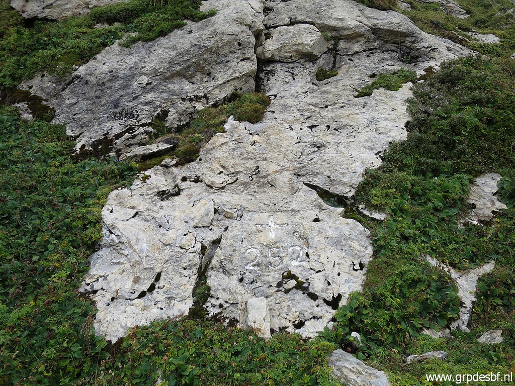 | Bm252 (click photo to enlarge) |
 | Bm252 (click photo to enlarge) |
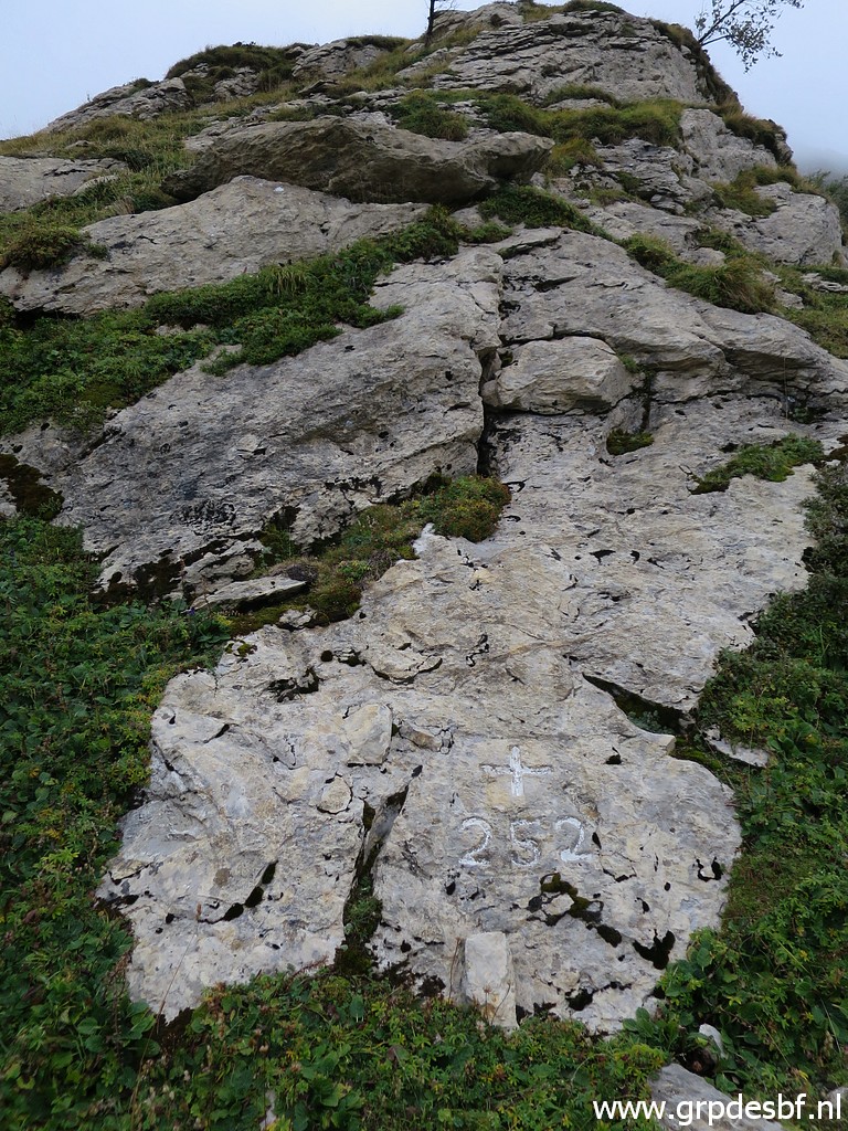
 | Bm252 in the corner left under. (click photo to enlarge) |
 | Bm252 (click photo to enlarge) |
 | Bm252, now seen from the other side. (click photo to enlarge) |
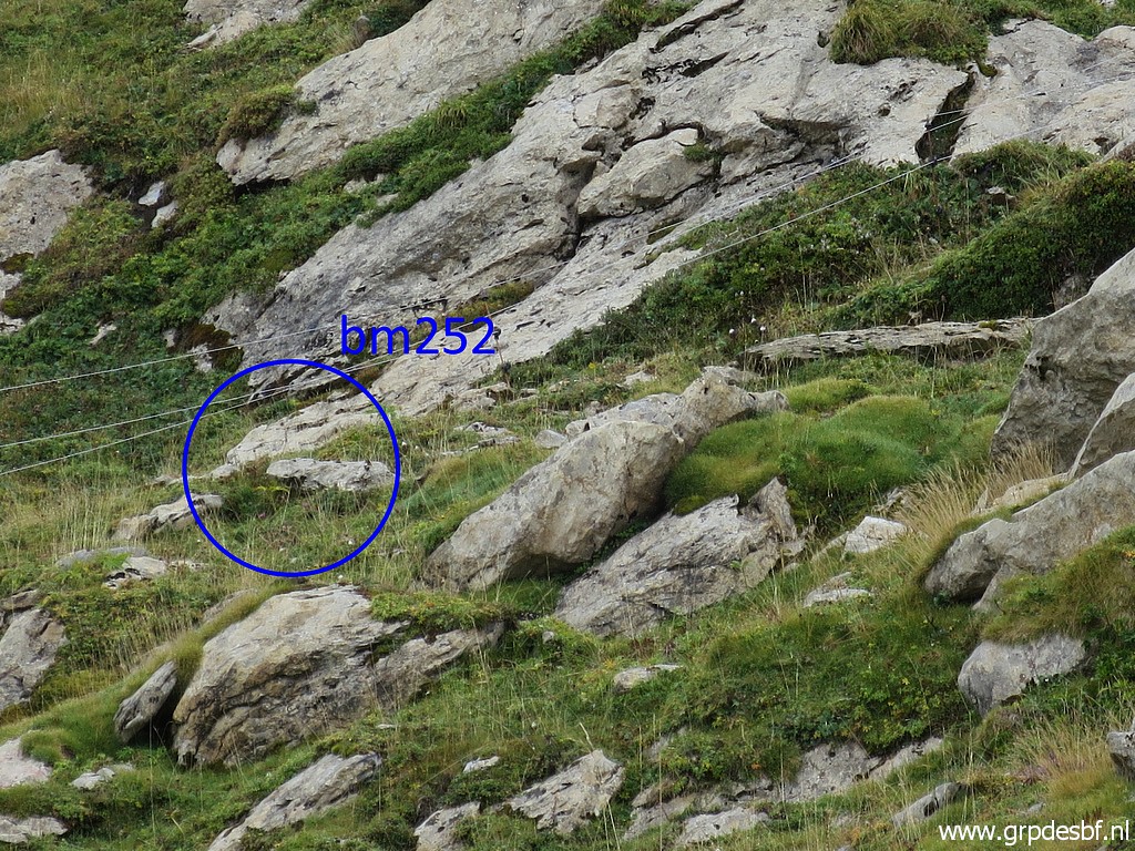 | Bm252 (click photo to enlarge) |
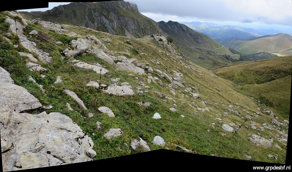
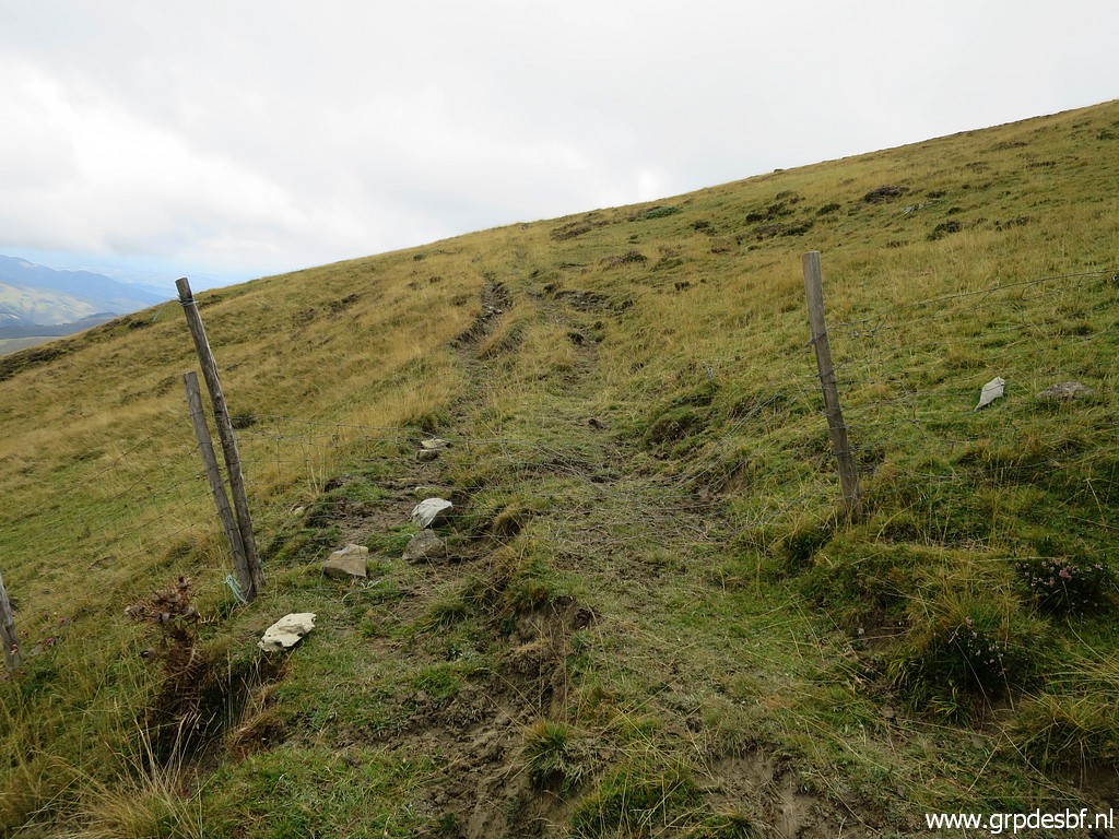 | Passing through this fence-gate and climbing SEE uphill. (click photo to enlarge) |
 | A view back (click photo to enlarge) |
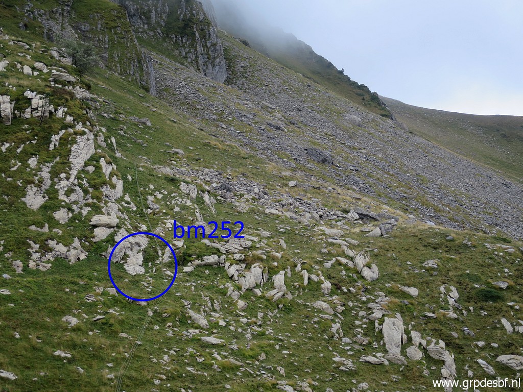 | with this zoom-in to (click photo to enlarge) |
 | bm252. (click photo to enlarge) |
 | Bm252 (click photo to enlarge) |
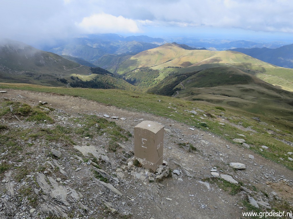
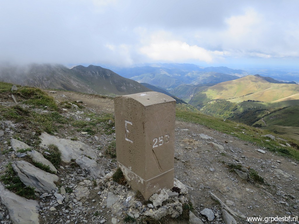
 | Having arrived at the cattle-track (click photo to enlarge) |
 | which brings me easily to bm253. The mountain pass in the background is Port de Binbaleta (bm254) (click photo to enlarge) |
 | Bm253 As you can see it's the same model as bm250 and 251. (click photo to enlarge) |
 | Bm253 (click photo to enlarge) |
 | Bm253 (click photo to enlarge) |
 | Bm253 (click photo to enlarge) |
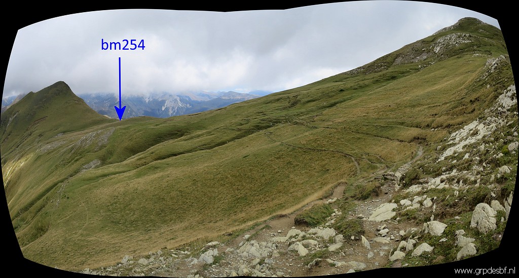 |
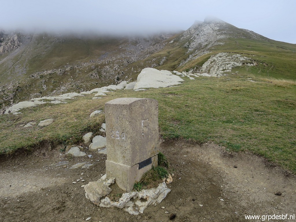
Then proceeding to Port de Binabaleta with bm254. |
 | Bm254 (click photo to enlarge) |
 | Bm254 (click photo to enlarge) |
 | Bm254 (click photo to enlarge) |
 | Bm254 (click photo to enlarge) |
 | Bm254 (click photo to enlarge) |
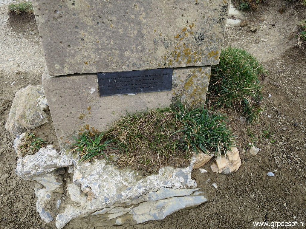 | Bm254, a small plaque (click photo to enlarge) |
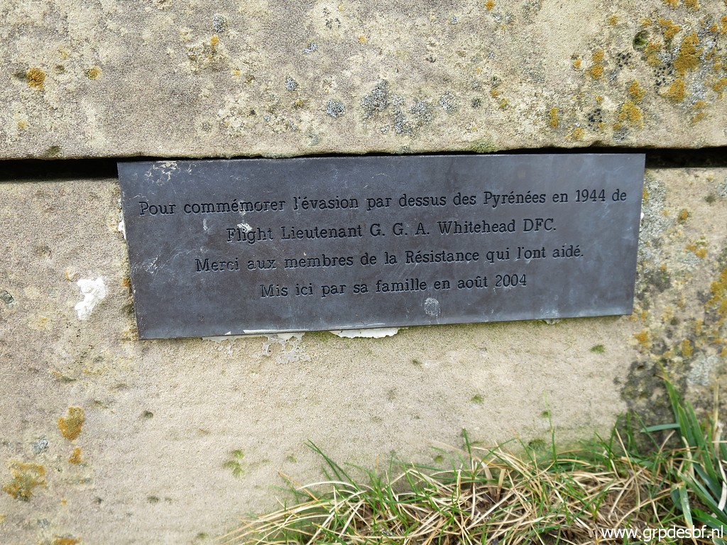 | commemorates the escape over this pass into Spain in 1944 of an allied soldier. (click photo to enlarge) |
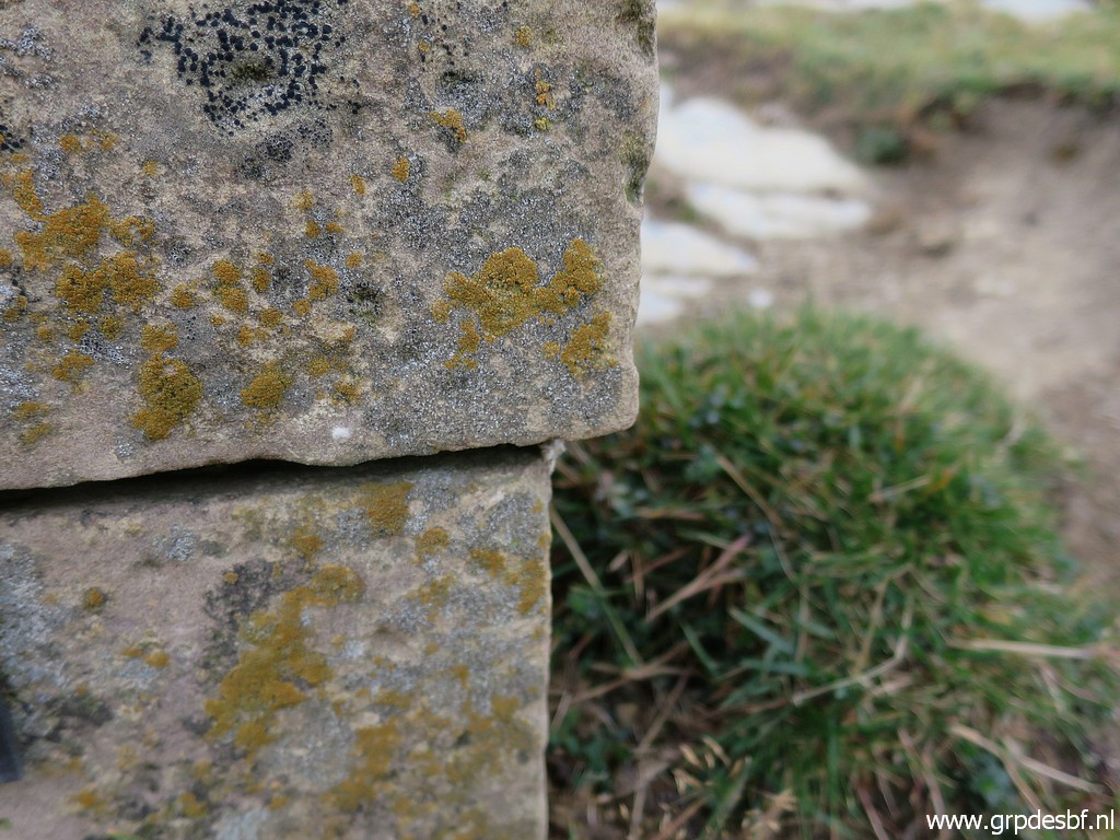 | Note the shift of the upper part: the base and the upper part are separate parts, joined together at the spot when built. And remember bm250 (see above) where the upper part has been separated. (click photo to enlarge) |
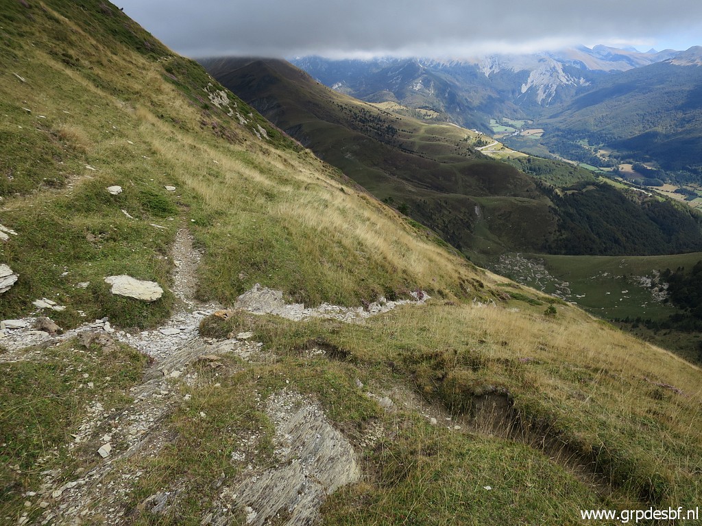 | I descend along the mountainside at the Spanish side from Port de Binbaleta to Port d'Urdaite. (click photo to enlarge) |
 | There are numerous cattle tracks which can be used (click photo to enlarge) |
 | to descend to Port d'Urdaite which comes soon in sight to navigate to. (click photo to enlarge) |
 | Getting closer to the Port. (click photo to enlarge) |
 | Almost there. Port d'Urdaite has been the spot of bm255 which has disappeared, (click photo to enlarge) |
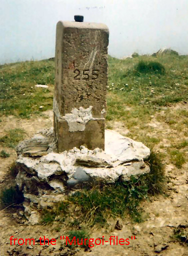 |
This picture shows bm255
before it disappeared. We can see its sturdy masonry base and it's
astonishing that no trace whatsoever is left of base and pillar. Photographed in the years 2000-2003. Source: "The Murgoi-files" of Jesús Murueta Goikoetxea Charles & Josette Darrieu supplied in january 2011 the information that this bordermarker has disappeared in september 2007. |
 | I suppose that is has - after demolition, perhaps by Basque nationalists - tumbled down into France. Would be fun to search down in the valley. (click photo to enlarge) |
 | Bm255
- approximate spot based on the descripiton in the treaty: 40m to the
west of the trail that that descends to Sainte-Engrâce. (click photo to enlarge) |
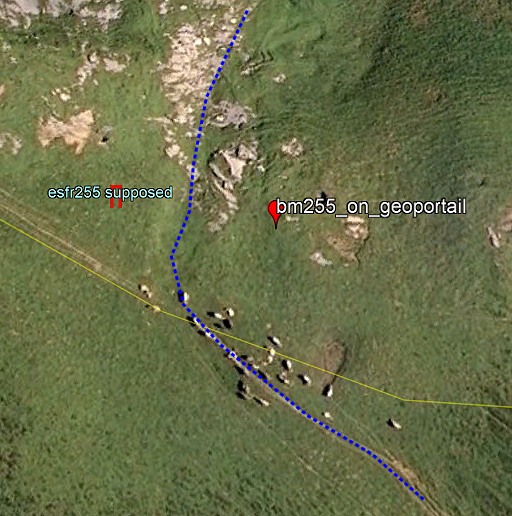 |
But if we zoom deep into the maps on Géoportail, we find a position east of the assumed trail. We have no idea if that position is based on a measurement in the field prior to its disappearance. But anyhow, I'll change my coordinates to that of Geoportail. Nowadays we don't see a trail anymore descending into France, neither in the field, nor on the maps. |
 | If we look - from the Port - west, we can (click photo to enlarge) |
 | (zoom-in) draw the approximate course of the GR12-trail. That's how I got to bm250 in the morning.. (click photo to enlarge) |
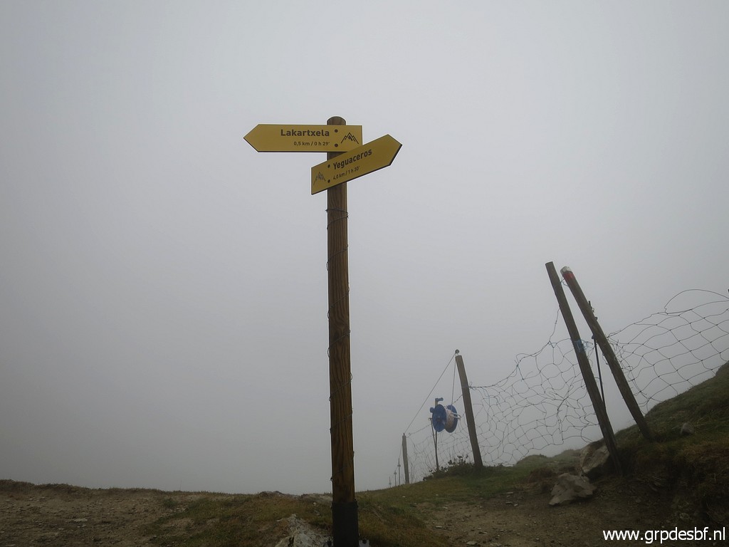
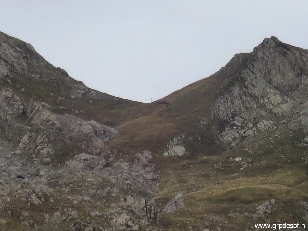 | Zoom-in to the pass, one can spot the signpost at the pass. (click photo to enlarge) |
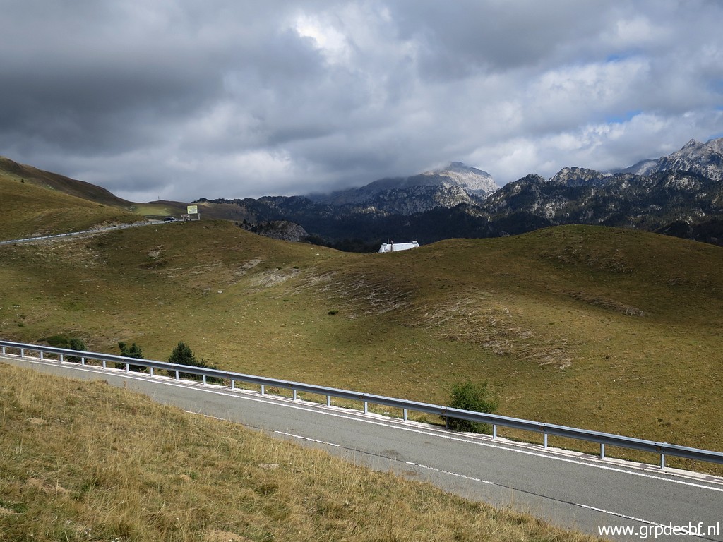 | I return on the red-white GR12 trail in less than an hour to Refugio Belagua. This picture: almost back at Refugio Belagua, you can see the roof. (click photo to enlarge) |
 |
And in the far distance the Pic d'Anie and Col d'Anaye visible. |
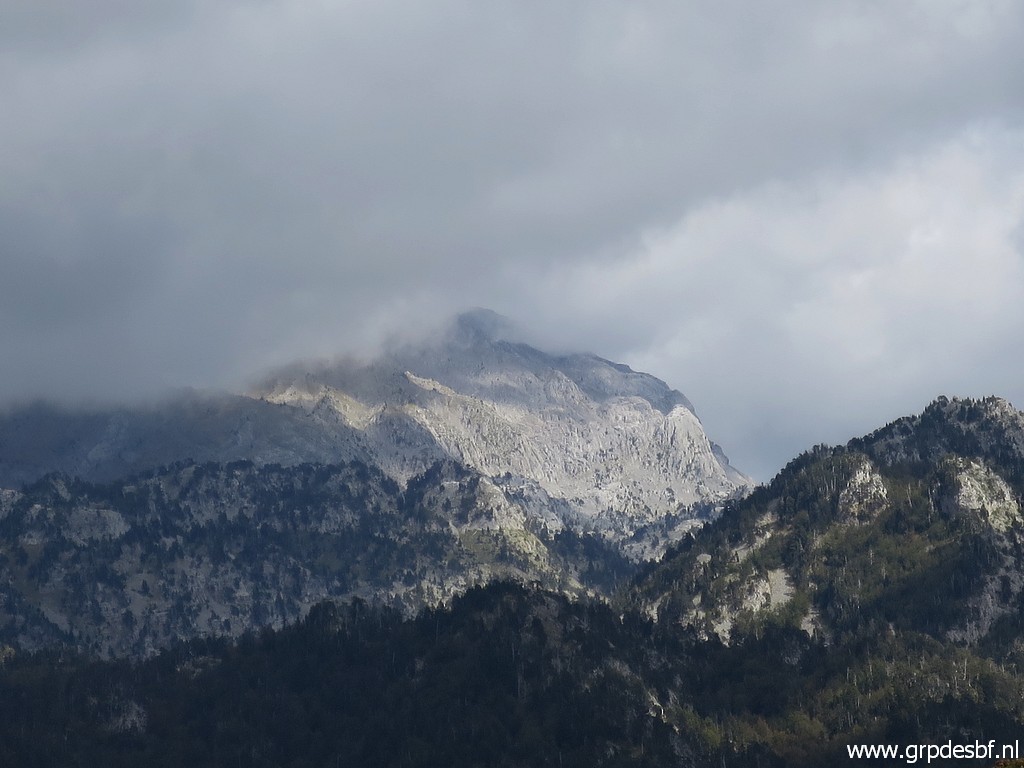 | Zoom-in. (click photo to enlarge) |
 | Back at the Refugio Belagua with (click photo to enlarge) |
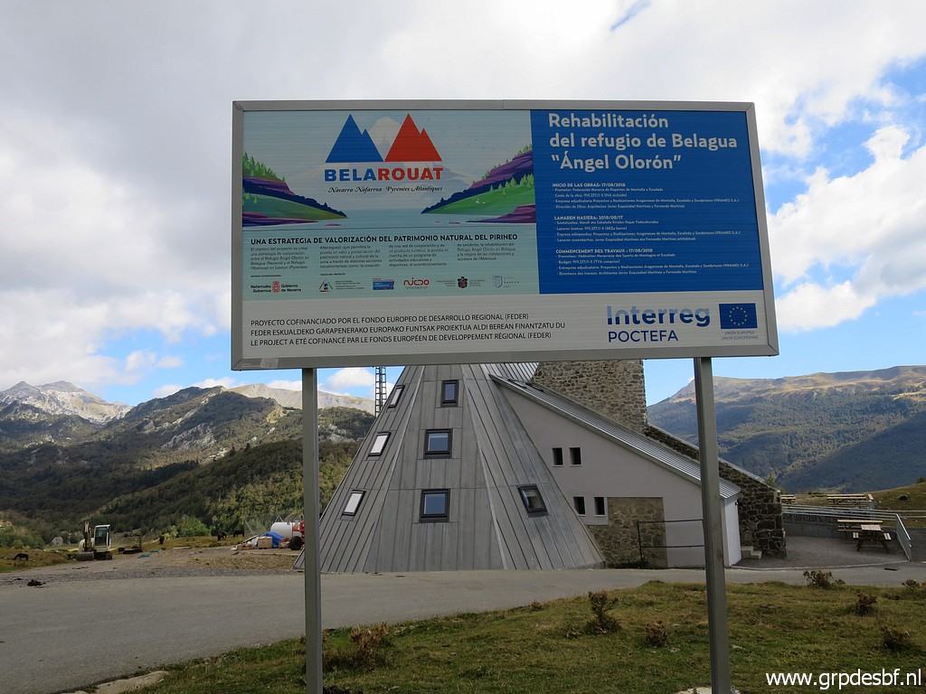 | an information panel about its restauration. It's been a tough and cold trip. Back to the camping in Larrau. The next day I will take a day of rest and change to the camping of Arette. That one is closer to Arette la Pierre St-Martin. (click photo to enlarge) |