|
The
bordermarkers of the Pyrenees : all my trips
 |
|
| -
wednesday 8 september
2021 - Redoing bm309, reconnaissance of a route to bm310 |
 |
 |
Summary:
part of a series of 11 daytrips in september 2021 in the western half
of the Pyrenees. This is day 2. Today: main target is a reconnaissance of a new connection route between bm309 and bm310. Weather: cloudy/sunny Basecamp: camping in Urdos |
 track-20210908.kml
(click to open this trip in Google Earth or copy link to Google Maps; click right on this link to download gpx-version). The gps-track has not been manually corrected which explains the inaccuracy and misalignment at some points. For cartographic backgrounds: see the cartography-page Gps-waypoints of all bordermarkers (most recent version): kml: esfr-bordermarkers-all-waypoints.kml gpx: esfr-bordermarkers-all-waypoints.gpx (with elevation added by gpsvisualizer.com) |
|
 |
According to Garmin
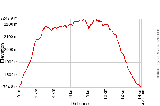
Basecamp (uncorrected track with elevation added by Gpsvisualizer.com): Distance: 14,2km Max-height: 2248m Min-height: 1705m Elevation: +969m -970m Total elevation: 1939m Start 8:26 Finish 15:06 Total time: 6:40 |
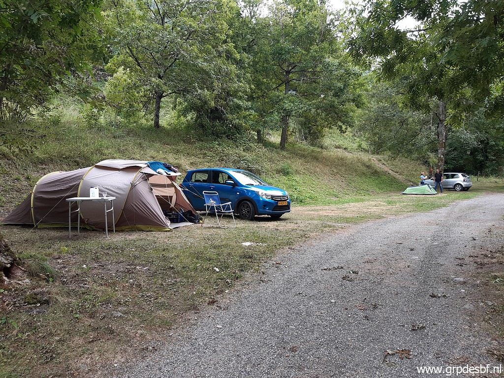 | Yesterday I arrived at the camping in Urdos for a day of rest after the exhausting day of 6-9-2021. (click photo to enlarge) |
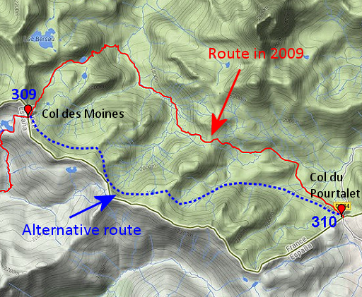 |
In 2009 I did a multiday hike in this region. On 7-9-2009 I descended from bm309 into the valley and then - the next day - found my way to bm310. But in recent years I saw on recent maps (OSM and Topopirioneos) an alternative route which seems more straightforward and faster. On 20 june of this year, I looked at that route from the side of Col du Pourtalet. Today I will check this alternatieve route from Col des Moines. |
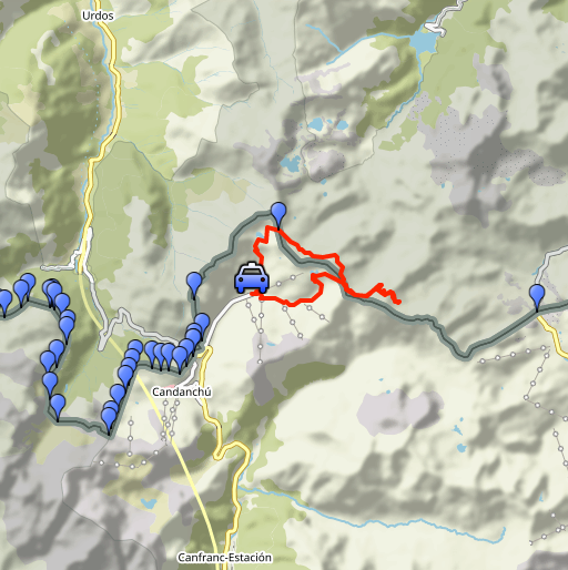
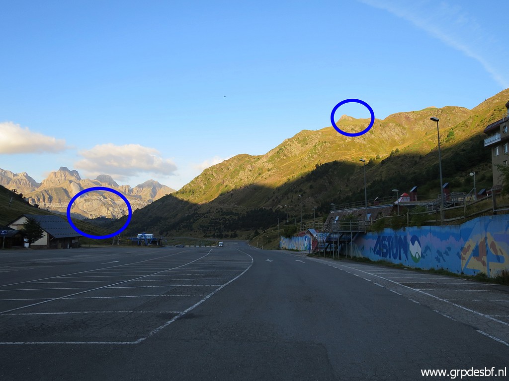 | Starting at 8:30 from the ski station of Astún. I look west and spot (click photo to enlarge) |
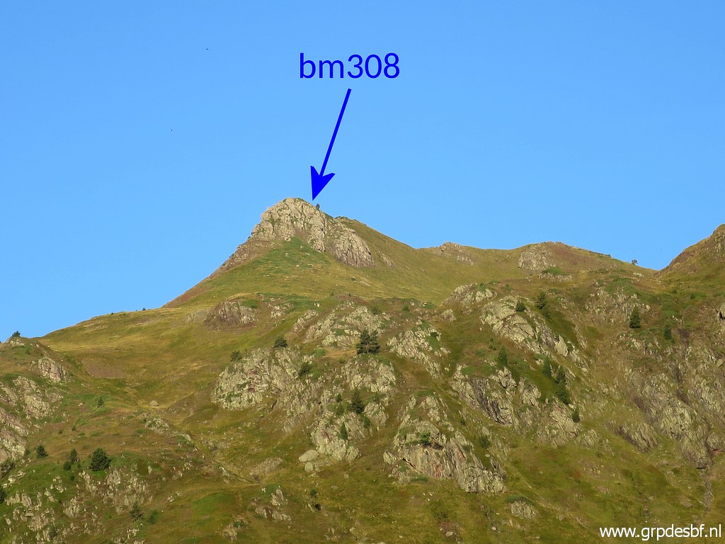 | the summit/ridge where bm308 is located and (click photo to enlarge) |
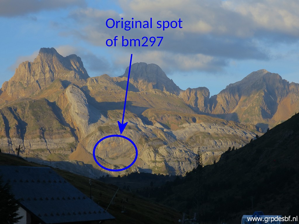 | - further away - the spot of the lost bm297. (click photo to enlarge) |
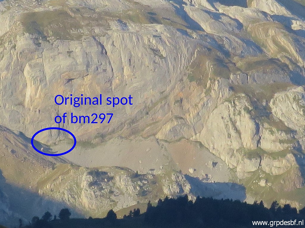 | Zoom-in (click photo to enlarge) |
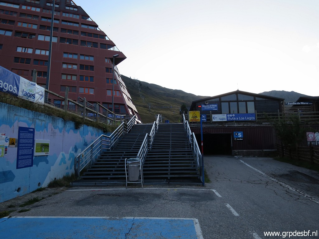 | Taking the stairs (click photo to enlarge) |
 | and then at the E-side of the giant hotel-building taking a path (click photo to enlarge) |
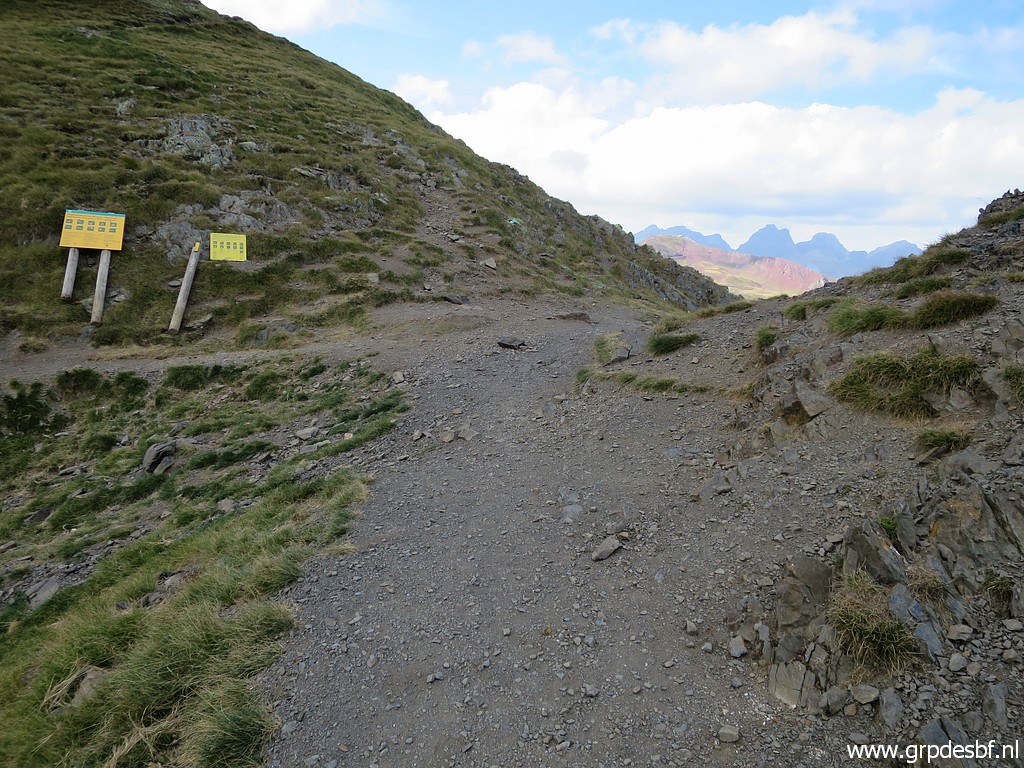
 | which joins soons this dirtroad. There are - surprisingly - no waysigns or waymarks. Still this is a popular daytrip-destination. (click photo to enlarge) |
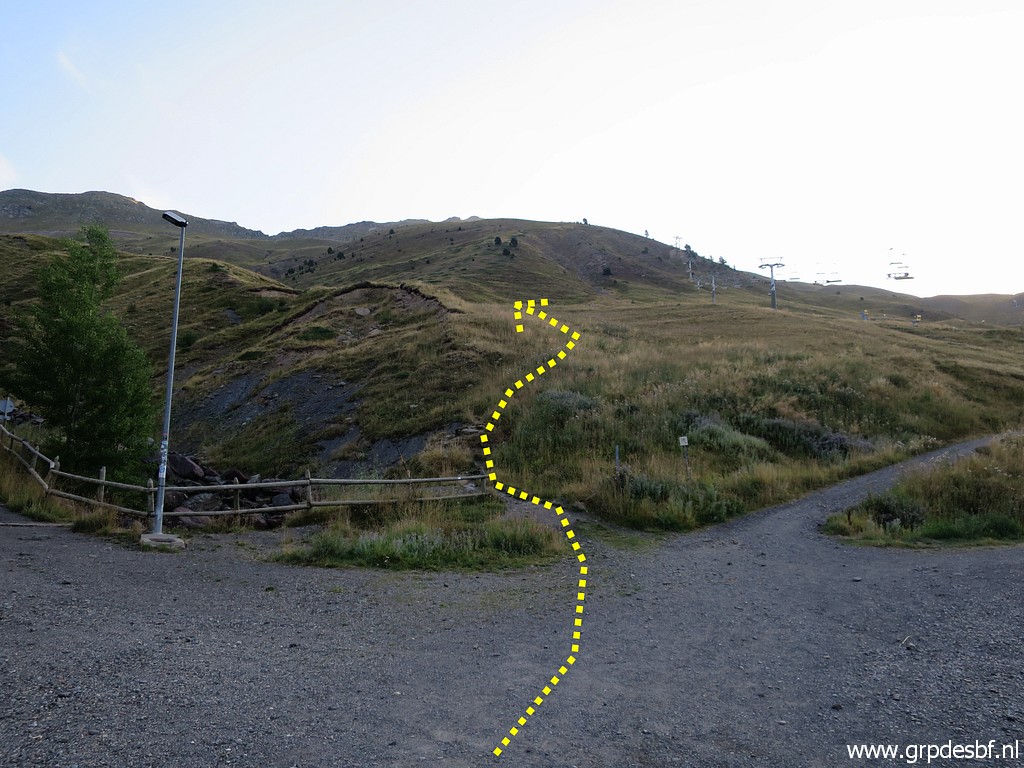
 | Further on, leaving the dirtroad and picking up a path. (click photo to enlarge) |
 | View to the SW with a rough indication of my traversing of the mountain-side as done on 15-6-2021. My misstake: bm309 should be 308. (click photo to enlarge) |
 | It was Carlos Roca who saw on the maps and Google Earth, an alternative access to bm308. Worthwhile trying one day. (click photo to enlarge) |
 | Continuing on the trail towards Col des Moines (bm309). (click photo to enlarge) |
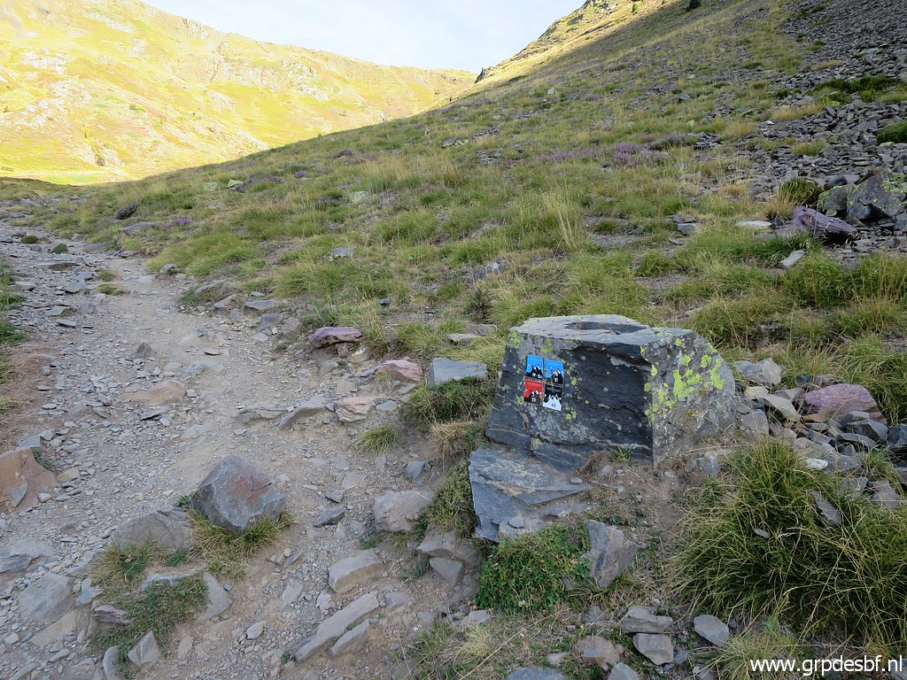 | I spot these colourful waymarks (click photo to enlarge) |
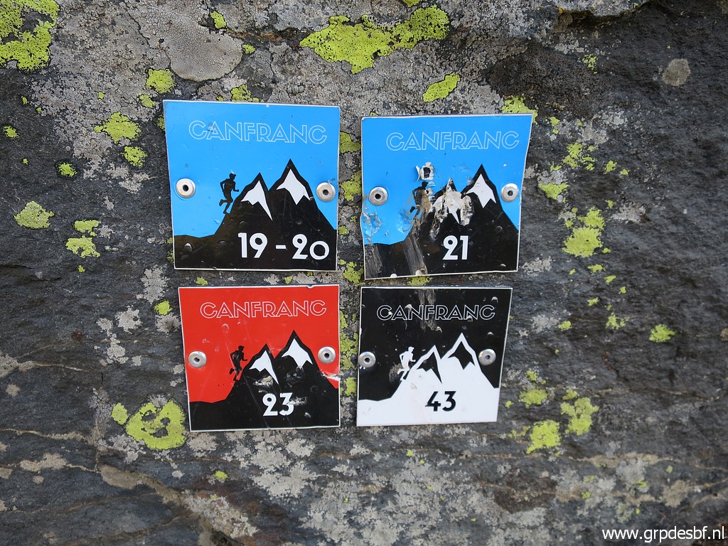 | and they appear to be trailrun-routes, never seen before. (click photo to enlarge) |
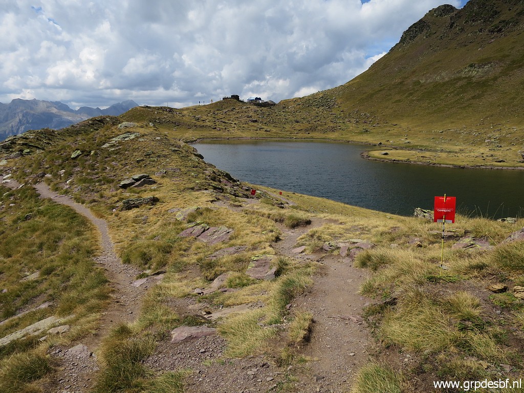
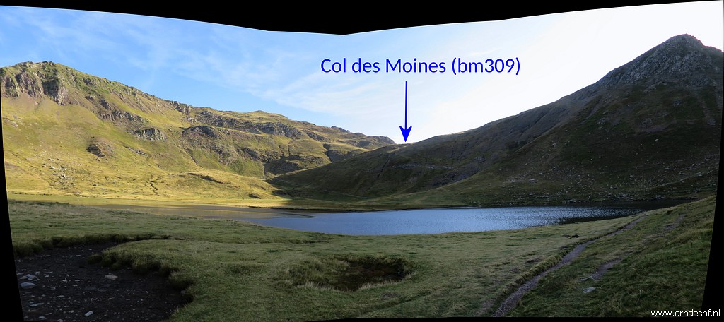 | Arriving at Ibón del Escalar, the trail passes the lake at its right side. (click photo to enlarge) |
 | The last climb (click photo to enlarge) |
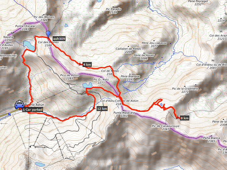
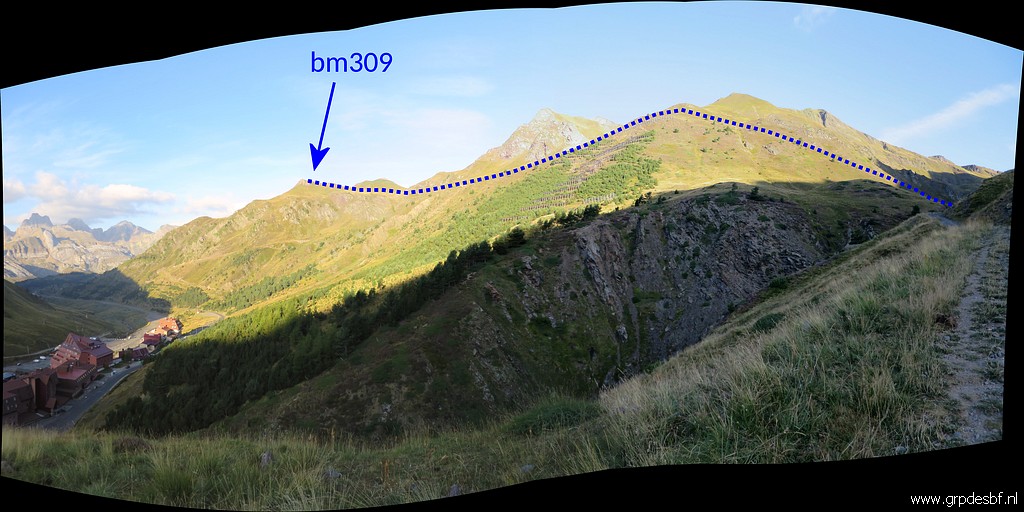
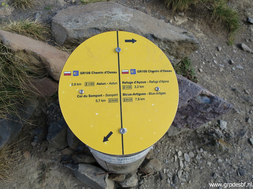
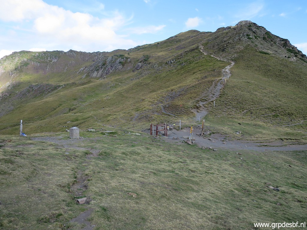
 | and I arrive - after 1,5 hours - at Col des Moines with bm309 in sight. (click photo to enlarge) |
 | In the background (click photo to enlarge) |
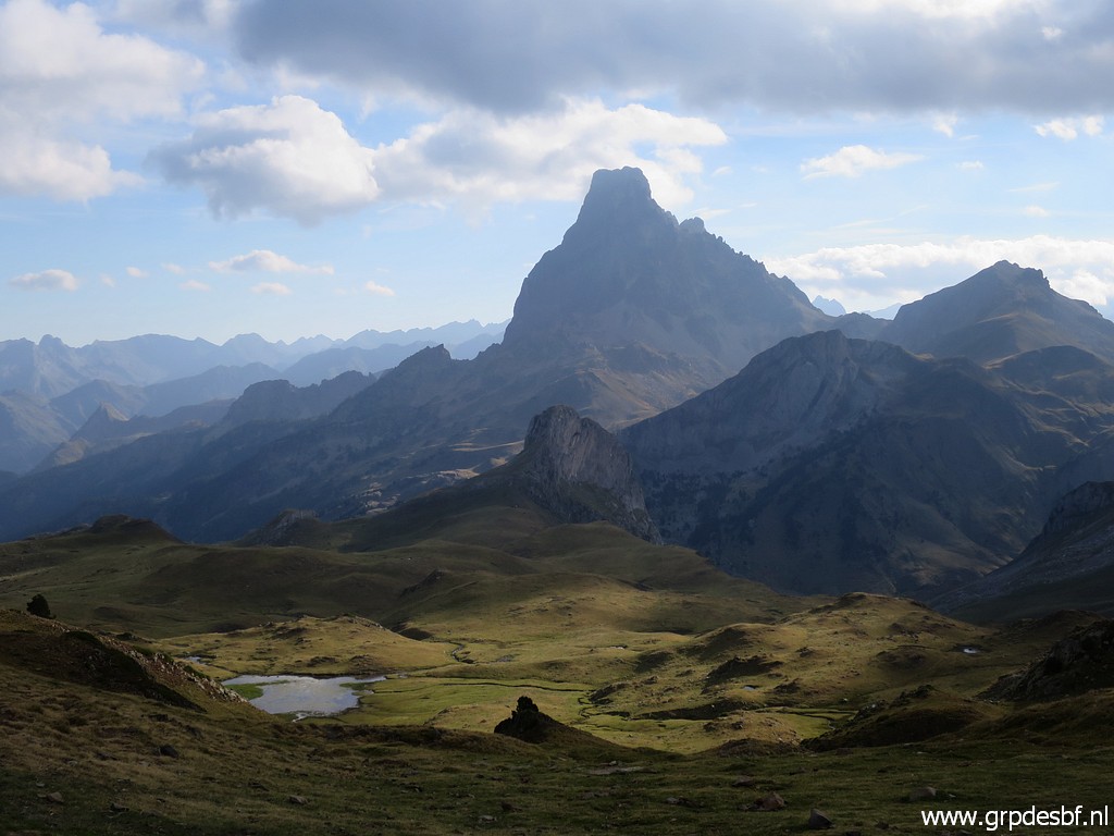 | the iconic Pic du Midi d'Ossau. (click photo to enlarge) |
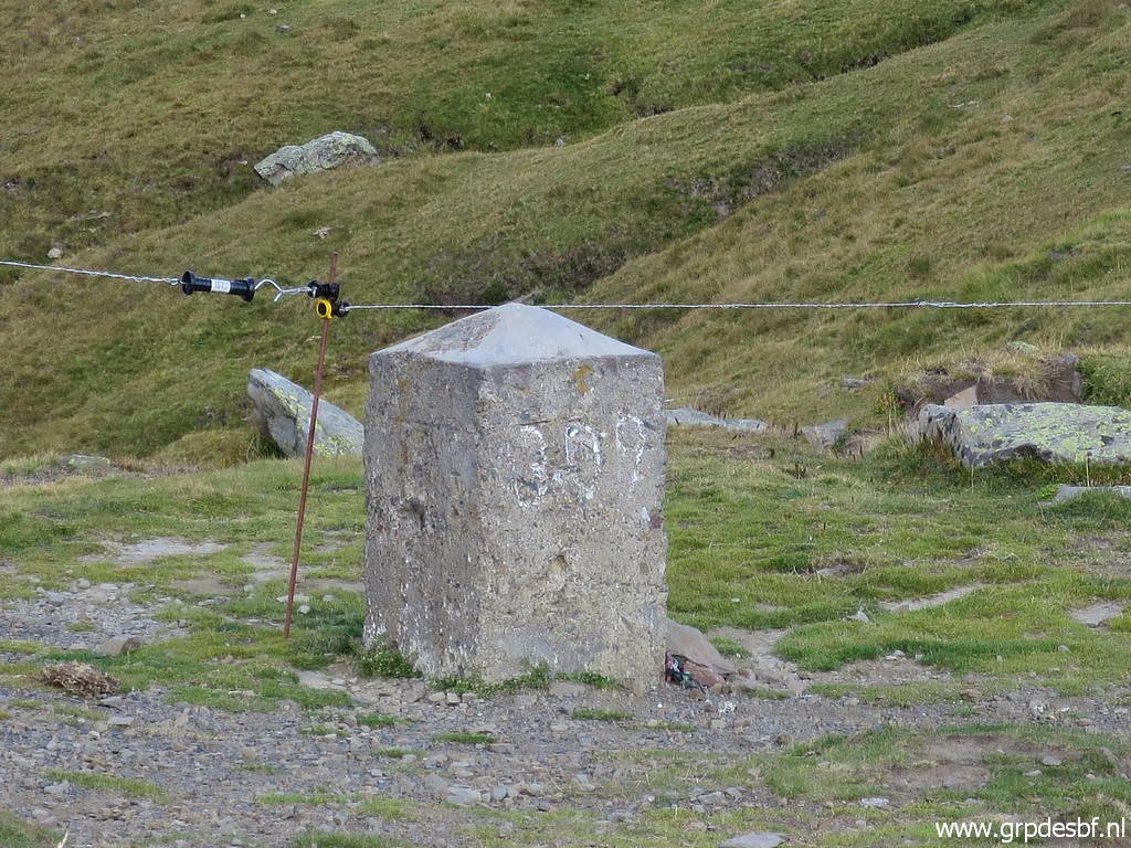
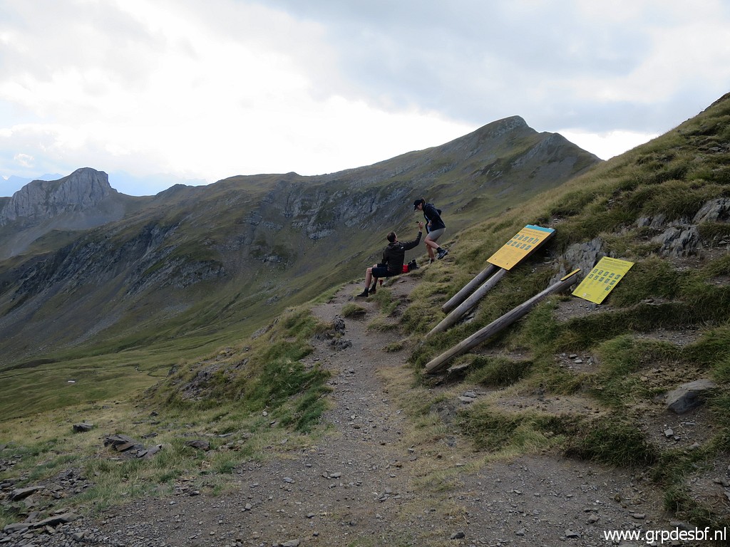
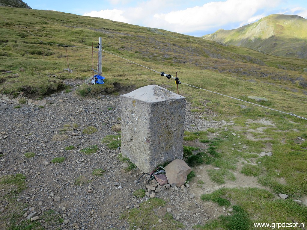 | Bm309 (click photo to enlarge) |
 | Bm309 (click photo to enlarge) |
 | Bm309 (click photo to enlarge) |
 | Bm309 (click photo to enlarge) |
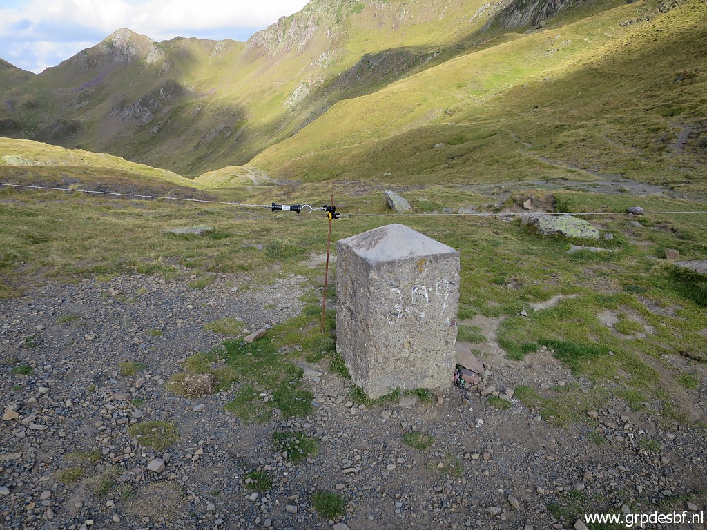 | Bm309 (click photo to enlarge) |
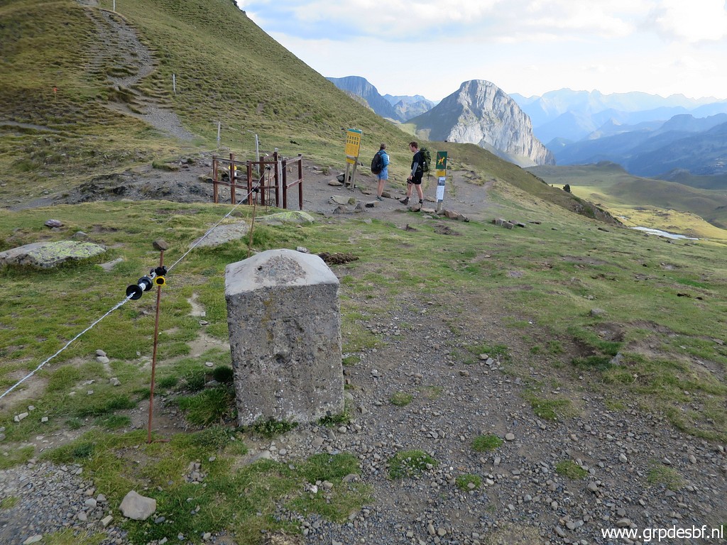
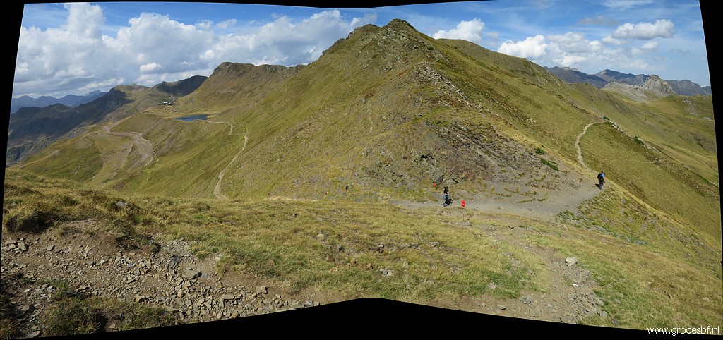
 | The red-white GR108 crosses the (click photo to enlarge) |
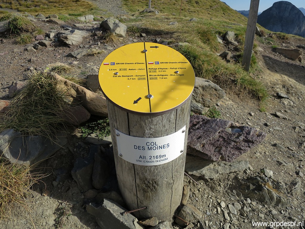 | Col des Moines. But I will be going E, underneath and along the borderridge. (click photo to enlarge) |
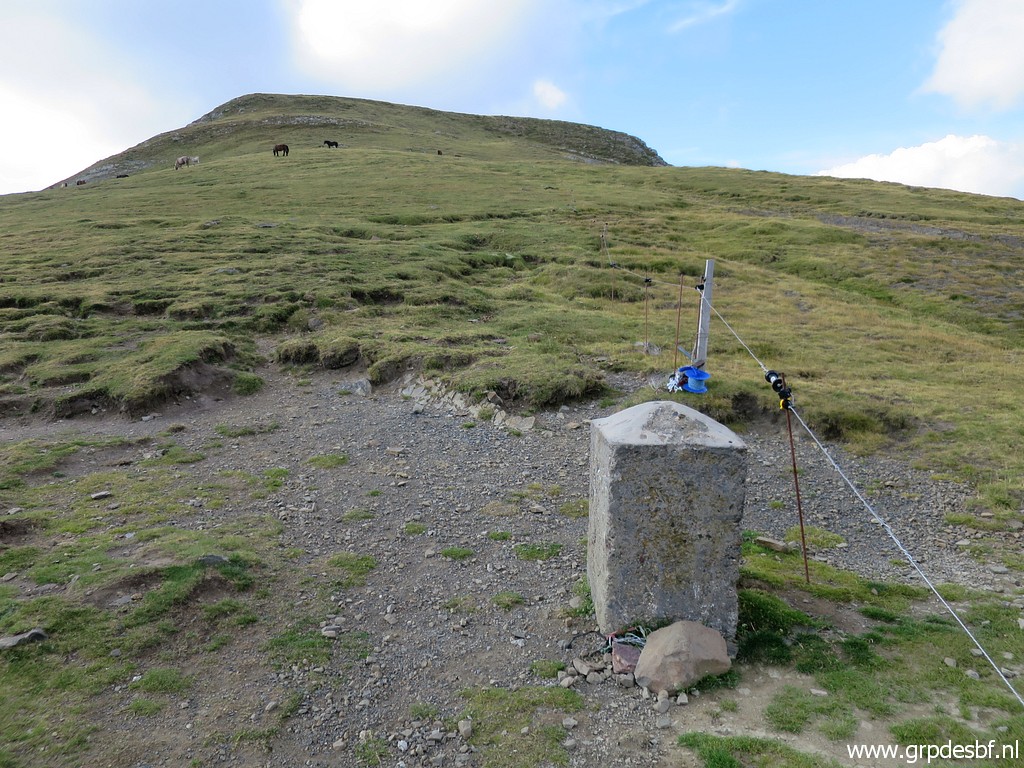
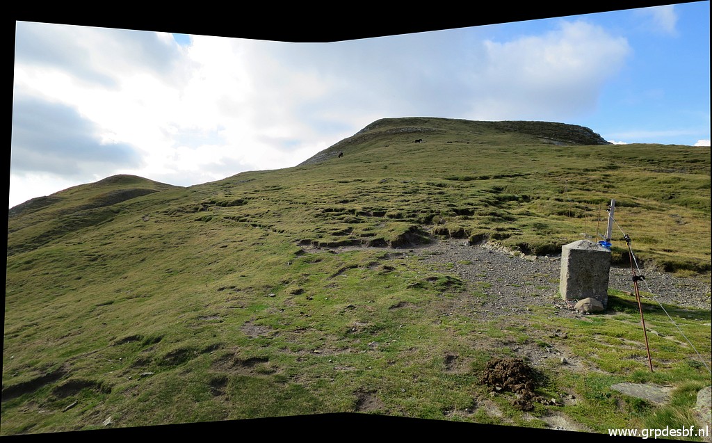 | Bm309, looking E (click photo to enlarge) |
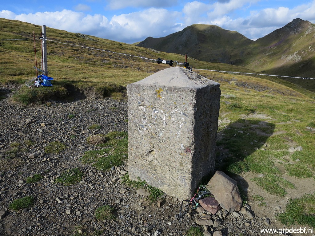
 | View back to bm309. (click photo to enlarge) |
 | Zoom-in (click photo to enlarge) |
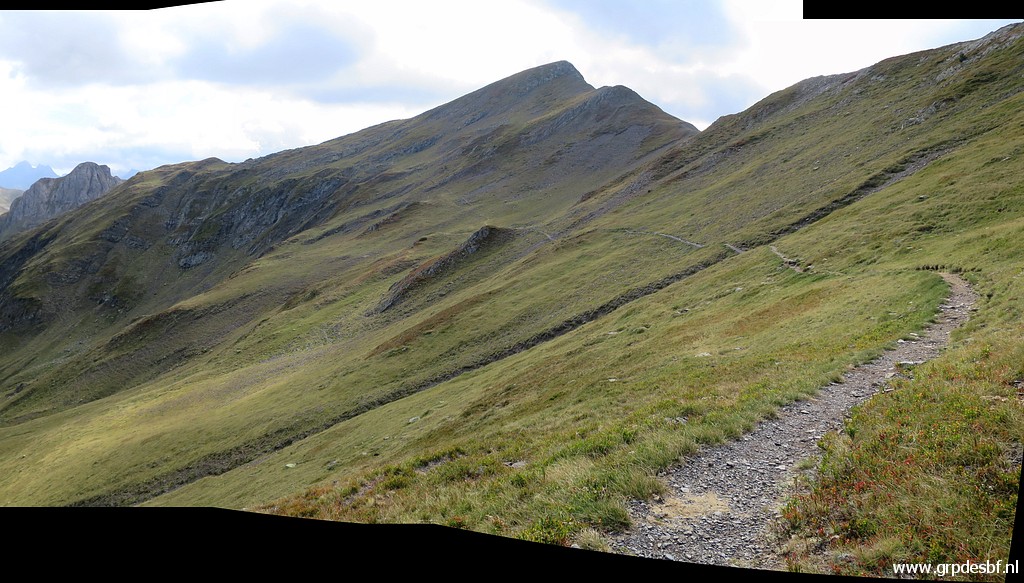
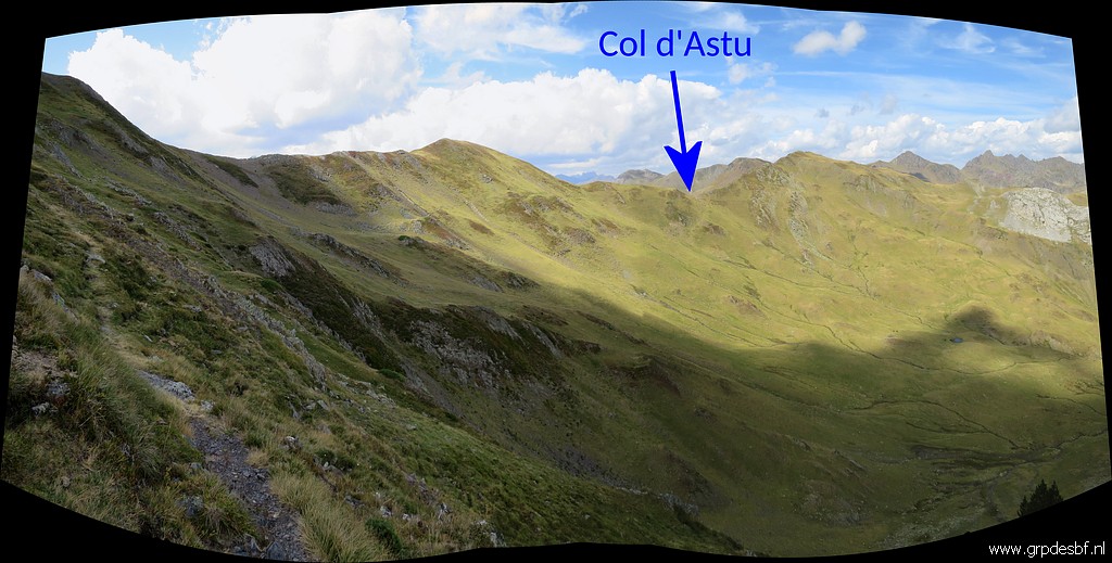
 | A distinct trail heads SE and will later on curve underneath Pic d'Astu towards Col d'Astu (click photo to enlarge) |
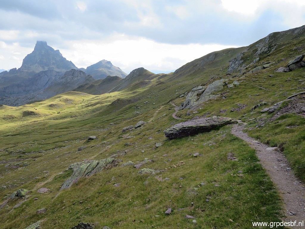 | A view NE towards Pic du Midi d'Ossau and (click photo to enlarge) |
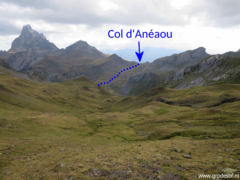 | Col d'Anéaou. That is the Col which I crossed in 2009. (click photo to enlarge) |
 | Zoom-in. (click photo to enlarge) |
 | The trail has made the curve underneath Pic d'Astu and now heads to Col d'Astu. (click photo to enlarge) |
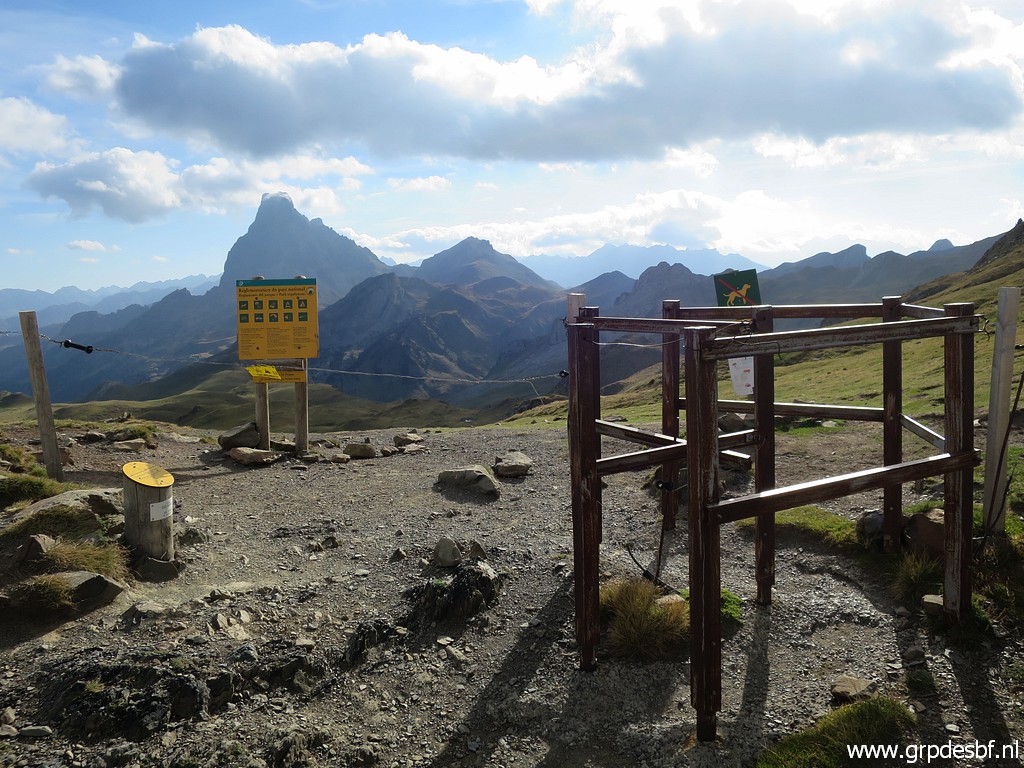
 | Col d'Astu, it's 2,5km walking from bm309. (click photo to enlarge) |
 | At Col d'Astu, looking into Spain (click photo to enlarge) |
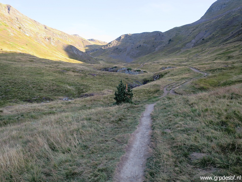
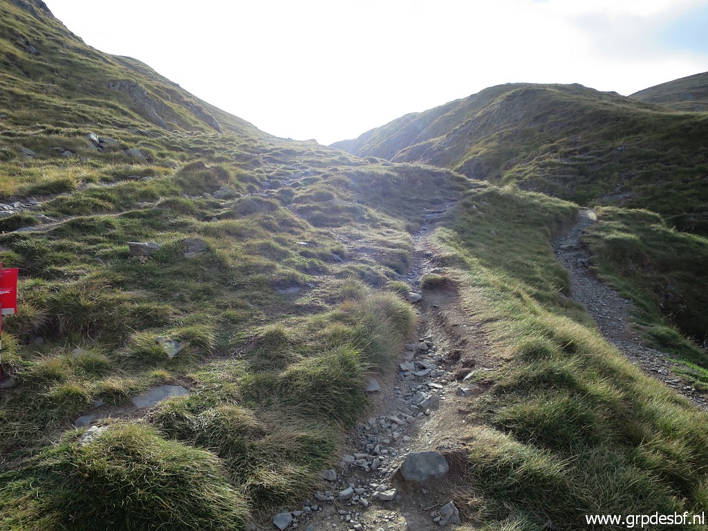
 | Looking E, the continuation of the trail. A young dutch couple are hiking for the first time in the Pyrenees and they are very enthousiastic about it. (click photo to enlarge) |
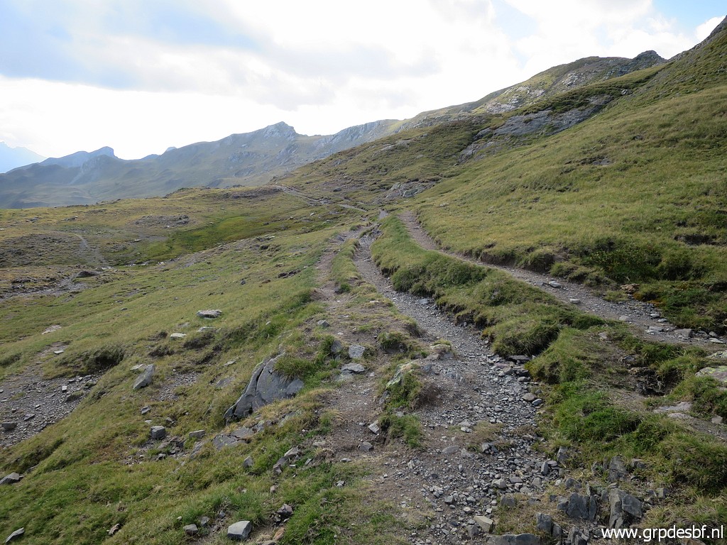
 | Still a distinct trail (click photo to enlarge) |
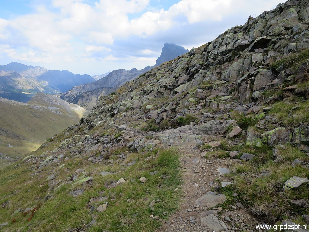 | with a rocky part to cross (click photo to enlarge) |
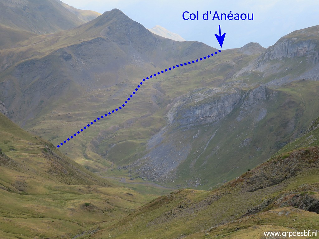
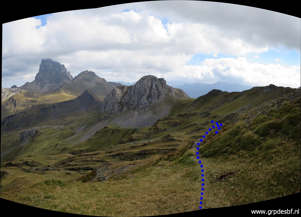
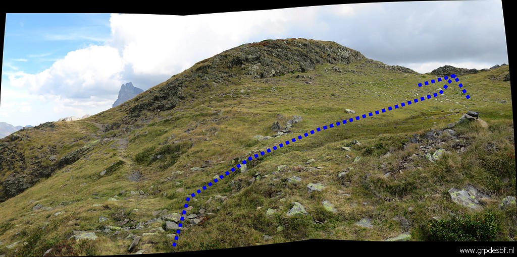
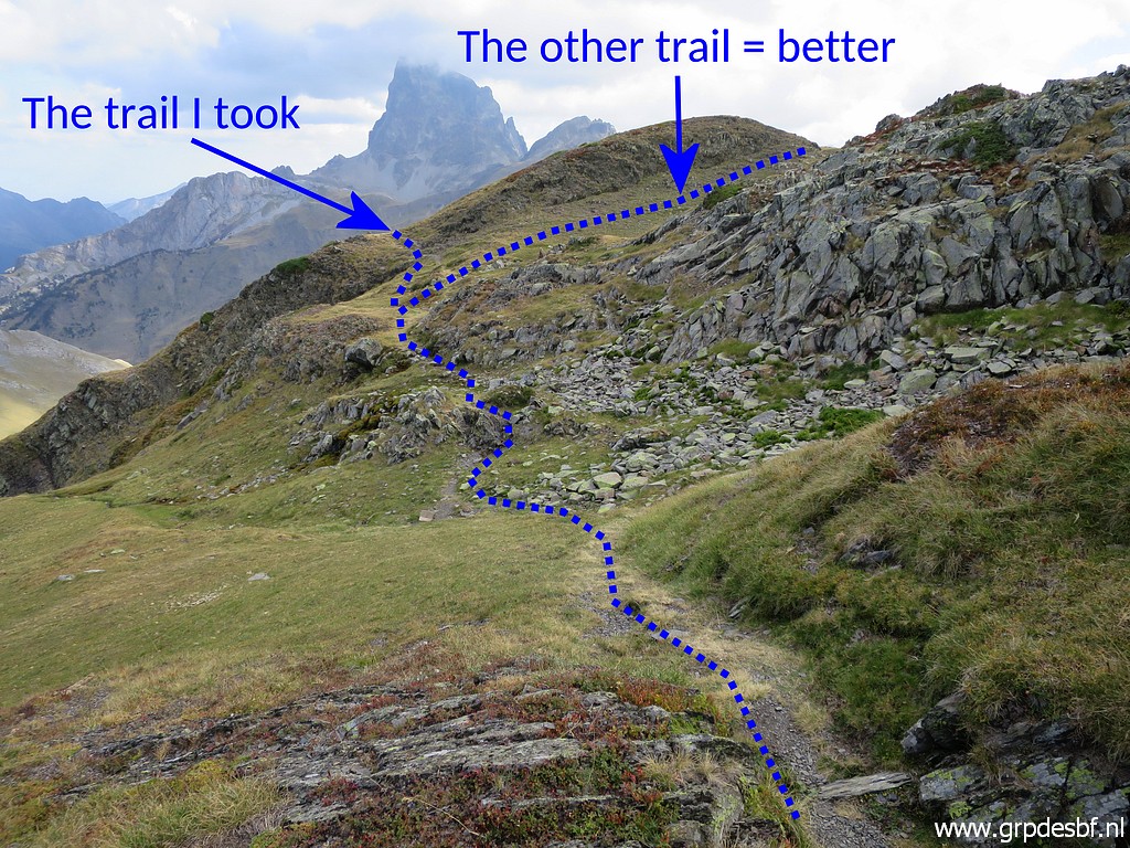 | that will bring you here. It's a bifork but not that well recognizable as such. The obvious route is the "trail I took". The "other trail = better"-one I will do on my way back. (click photo to enlarge) |
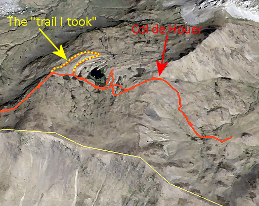 |
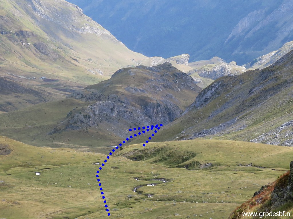
The Google Earth-screenprint shows how the "trail I took" is an unnecessary detour. At the bifork you have to go right and head approximately E - keeeping the larger lake at your left - to get to Col de Houer. |
 | But first the "trail I took". This picture: a bit further than previous picture. The trail bends to the right making a U-bend (click photo to enlarge) |
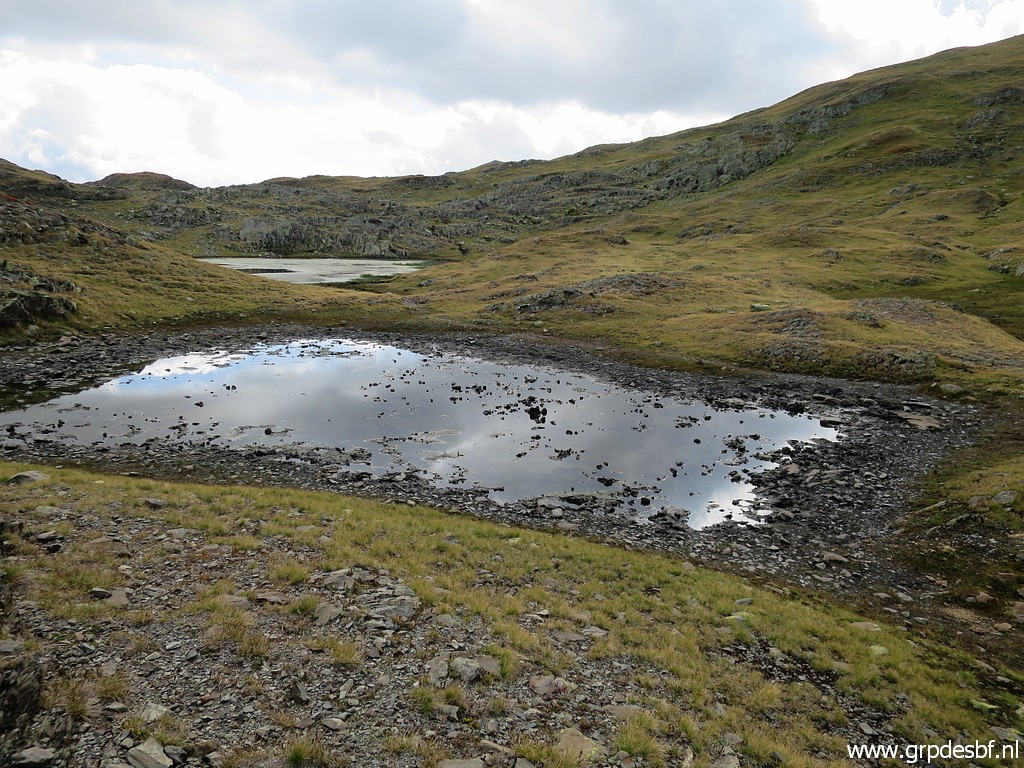 | and arriving at these tiny lakes. (click photo to enlarge) |
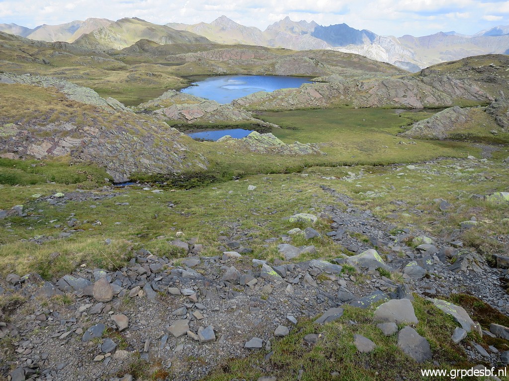 | After that there are these - larger - lakes. This picture: looking back. (click photo to enlarge) |
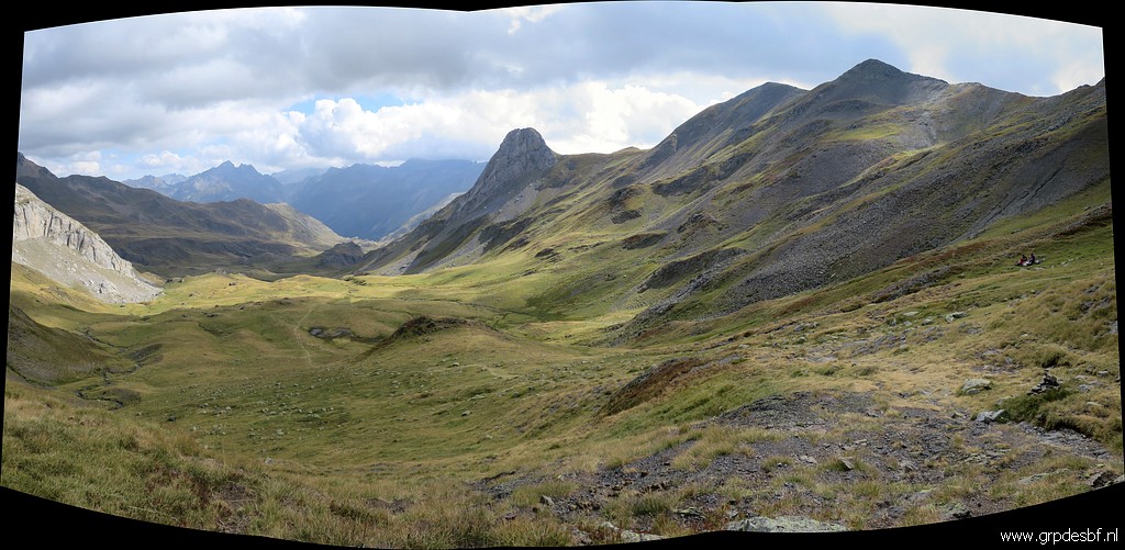
 | And then I arrive - after crossing Col de Houer and some descending - at this point. (click photo to enlarge) |
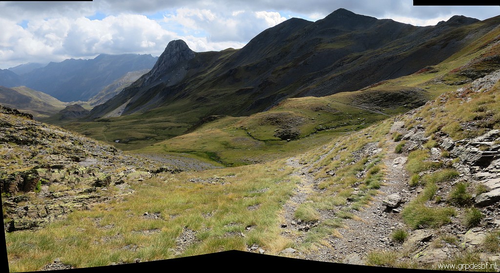
 | The trail descends furhter in the valley. (click photo to enlarge) |
 | And will - in the valley - pass between mountainside and smaller hilltop as indicated. Col du Pourtalet is then not far away. I know enough and stop. (click photo to enlarge) |
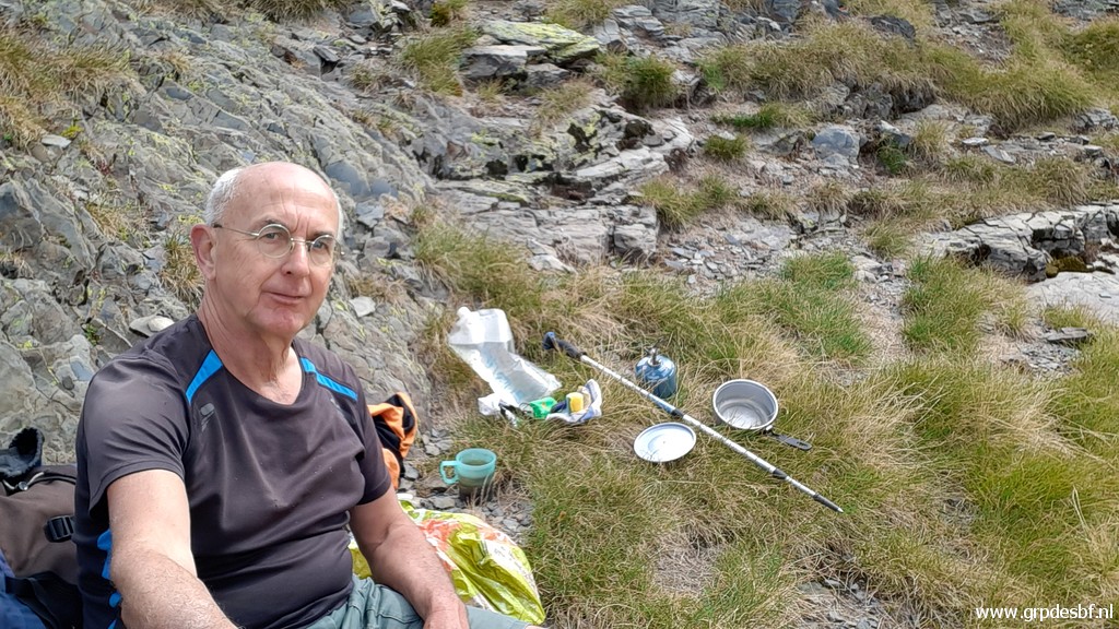 | First a lunch break (click photo to enlarge) |
 | and then returning along (click photo to enlarge) |
 | the south-side of the larger one of the small lakes (click photo to enlarge) |
 | Back at the bifork - mentioned above - with my recommended route to cross the area of the small lakes. (click photo to enlarge) |
 | Now returning to Col d'Astu. (click photo to enlarge) |
 | Back at Col d'Astu. (click photo to enlarge) |
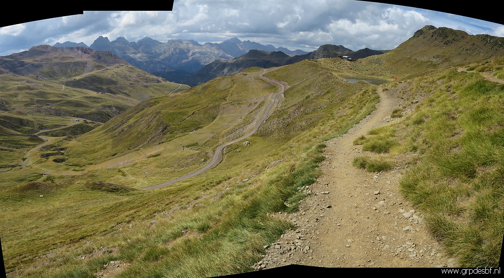 | I enter Spain to walk to (click photo to enlarge) |
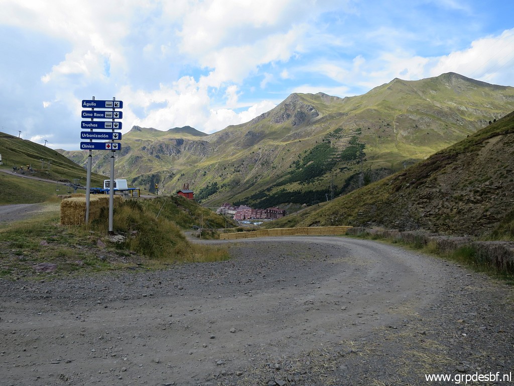
 | Ibón de Truchas with a cafe at the other side. There is a ski lift from the ski station of Astún to this lake and it is apparently also working in summertime. (click photo to enlarge) |
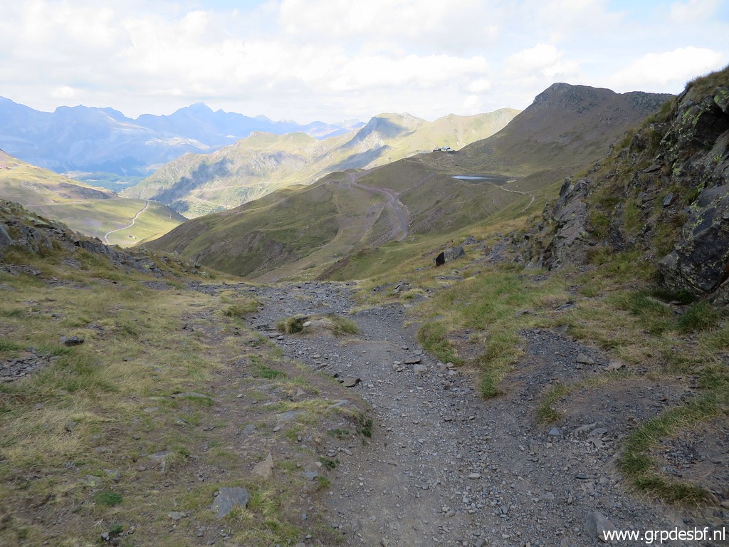
 | I descend from the lake along trails and dirtroads (click photo to enlarge) |
 | to the ski station of Astún where my car is. Another picture with the approximate route from bm308 towards bm309. (click photo to enlarge) |
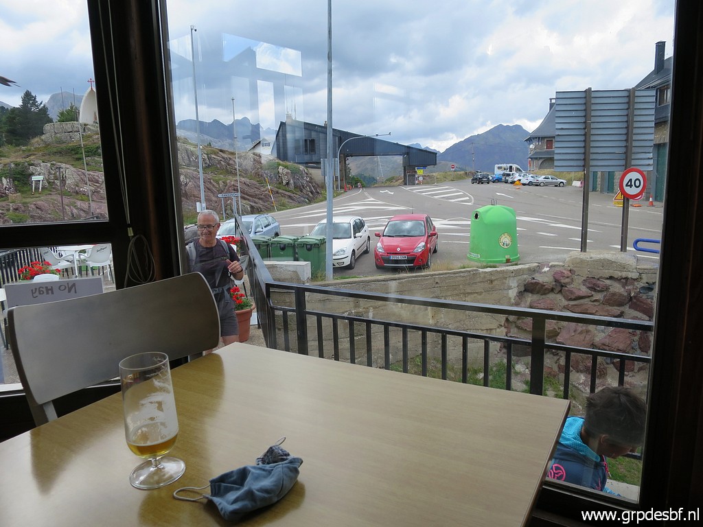 | At Col de Somport a beer and a bocadillo as a reward and then back to the camping. (click photo to enlarge) The next day another day of rest. I use it to transfer from Urdos to the camping of Arette. |