|
The
bordermarkers of the Pyrenees : all my trips
 |
|
| -
sunday 12 september
2021 - Redoing bm321 |
 |
 |
Summary:
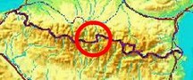
part of a series of 11 daytrips in september 2021 in the western half
of the Pyrenees. This is day 5. Today: a short trip from the Cirque de Troumouse to revisit bm321. Why? I want to have 'done' every bordermarker at least twice. I visited bm321 for the first time on 29-8-2010. Weather: splendid |
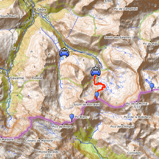
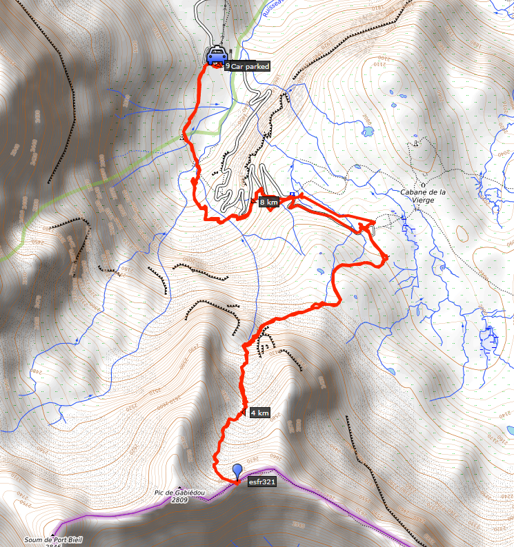 track-20210912.kml
(click to open this trip in Google Earth or copy link to Google Maps; click right on this link to download gpx-version). The gps-track has not been manually corrected which explains the inaccuracy and misalignment at some points. For cartographic backgrounds: see the cartography-page Gps-waypoints of all bordermarkers (most recent version): kml: esfr-bordermarkers-all-waypoints.kml gpx: esfr-bordermarkers-all-waypoints.gpx (with elevation added by gpsvisualizer.com) |
|
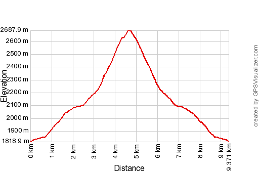 |
According to Garmin
Basecamp (uncorrected track with elevation added by Gpsvisualizer.com): Distance: 9,4km Max-height: 2688m Min-height: 1819m Elevation: +961m -960m Total elevation: 1921m Start 11:16 Finish 16:04 Total time: 4:49 |
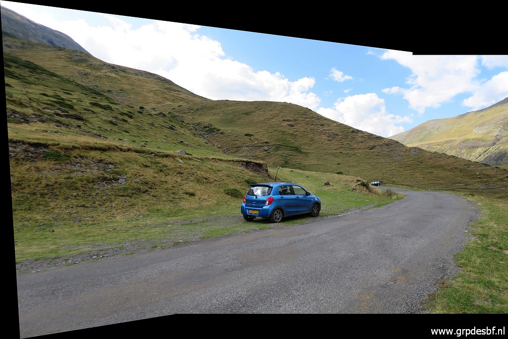
 | From
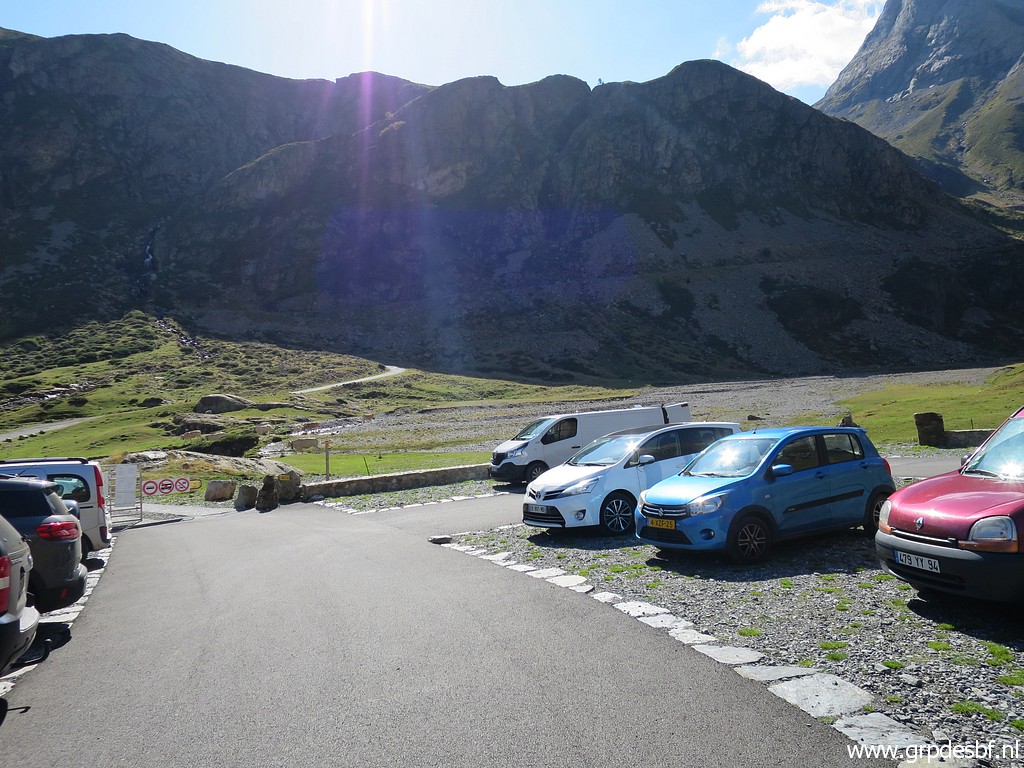
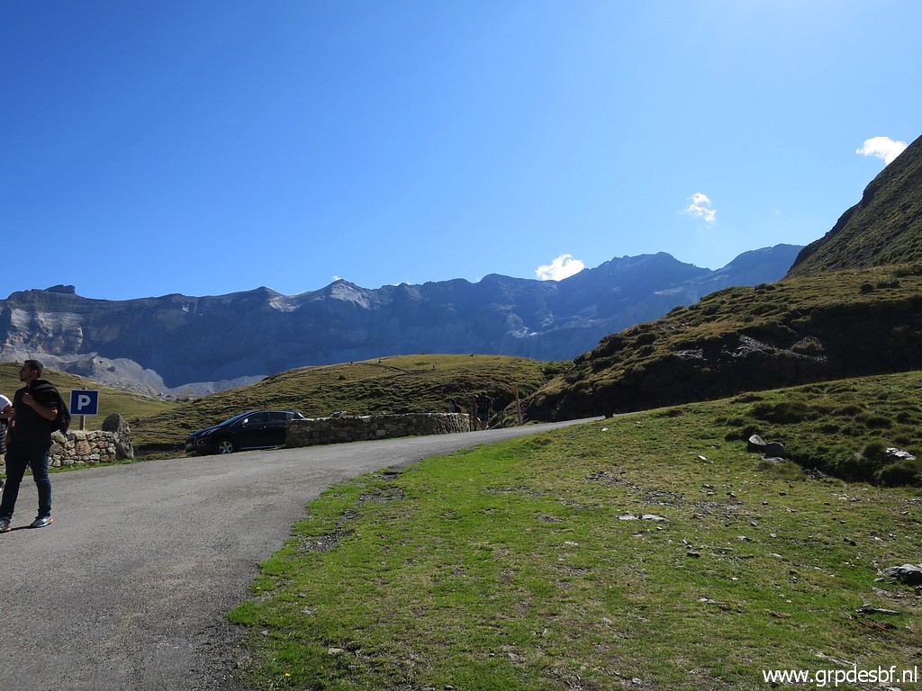
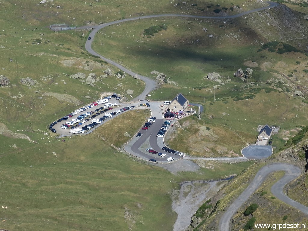
camping Mialanne in Arrens-Marsous, I drive on this beautiful sunday
morning to the Cirque de Troumouse, up to the parking near Auberge du
Maillet. (click photo to enlarge) |
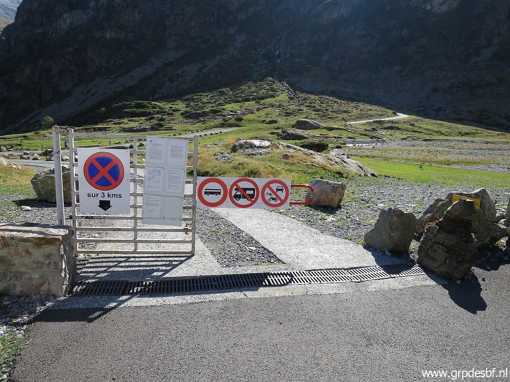 | Further driving is not possibele anymore, (click photo to enlarge) |
 | so I have to walk the last part to the foot of the final climb. But you can also take the winding tarmac road. (click photo to enlarge) |
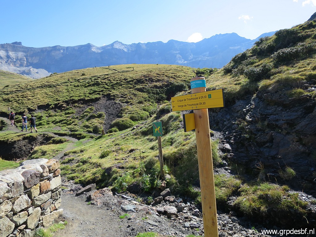
 | Wayfindig is not difficult. (click photo to enlarge) |
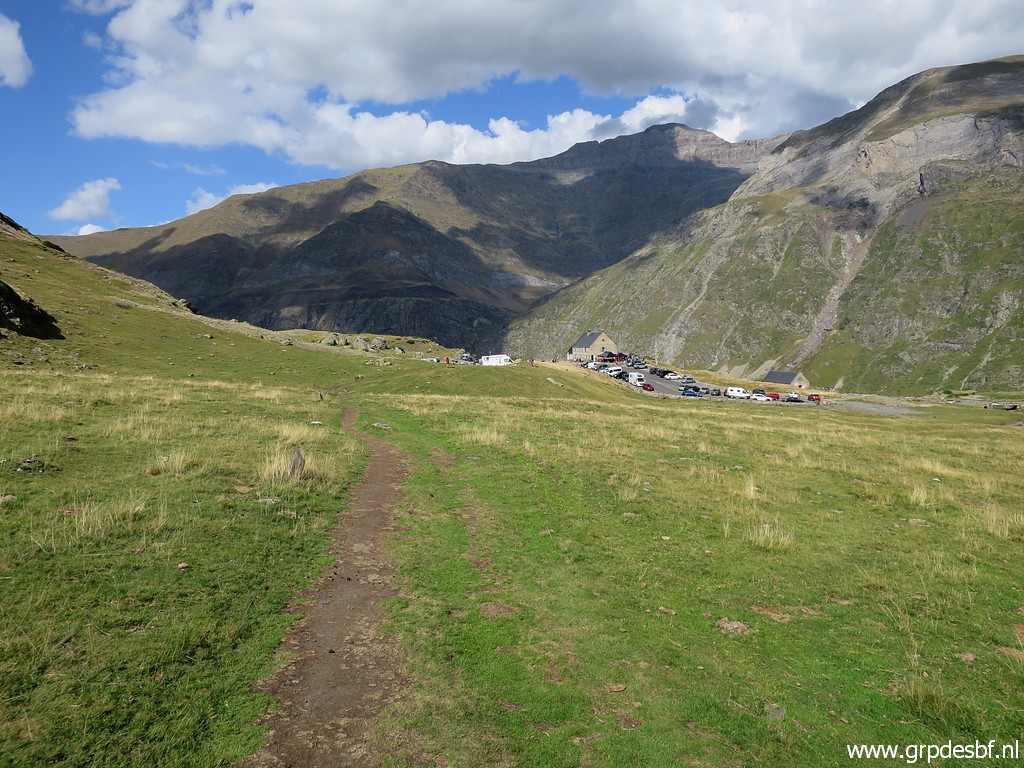
 | It's a popular hiking area. (click photo to enlarge) |
 | Suddenly I spot a sort of shuttle train which apparently takes tourists from the parking to the upper level and back. (click photo to enlarge) |
 | The trail crosses the road (click photo to enlarge) |
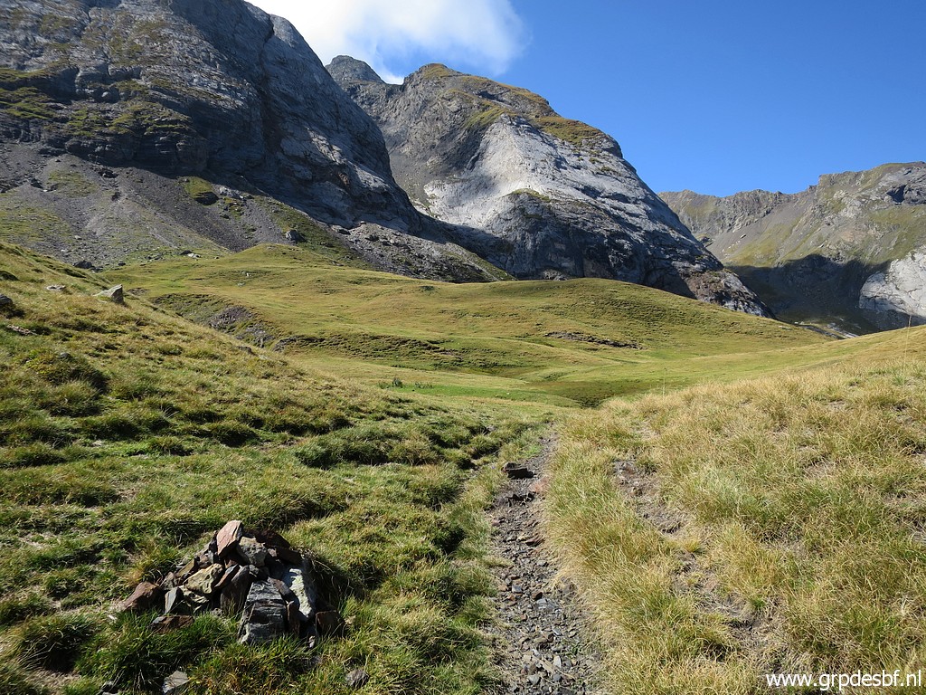
 | and continues over the grass for the last part. (click photo to enlarge) |
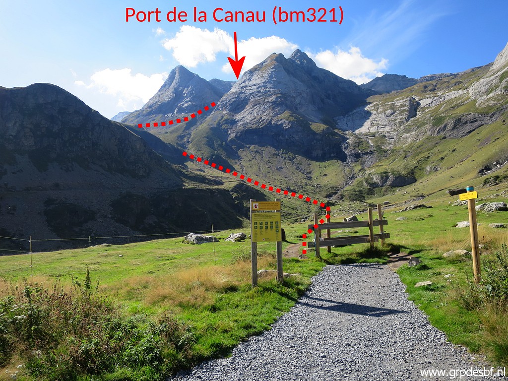
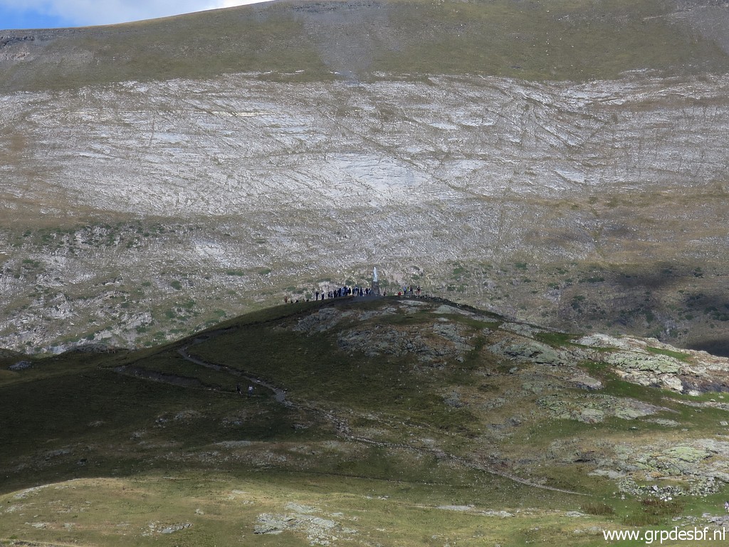
 | Port de la Canau (bm321) is already indicated. (click photo to enlarge) |
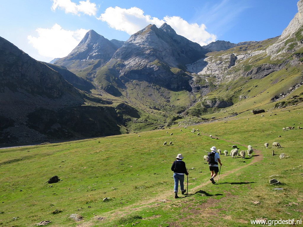
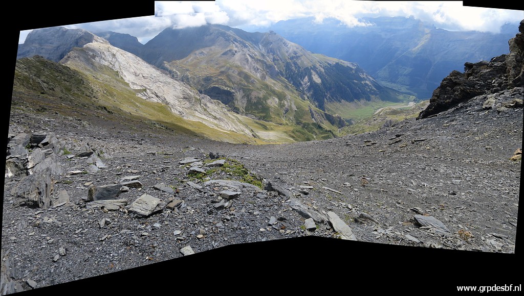
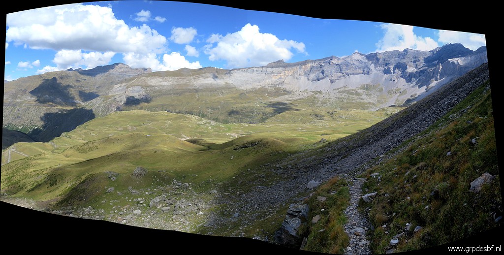
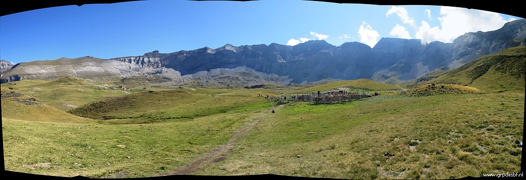 | A panorama of the impressive Cirque de Troumouse. (click photo to enlarge) |
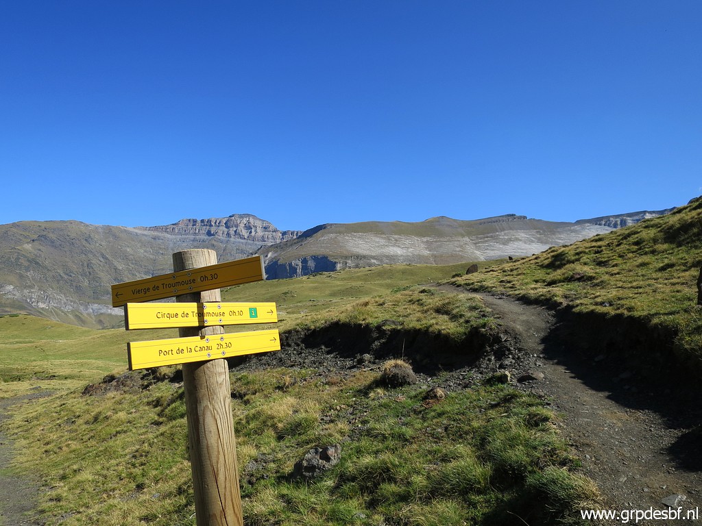
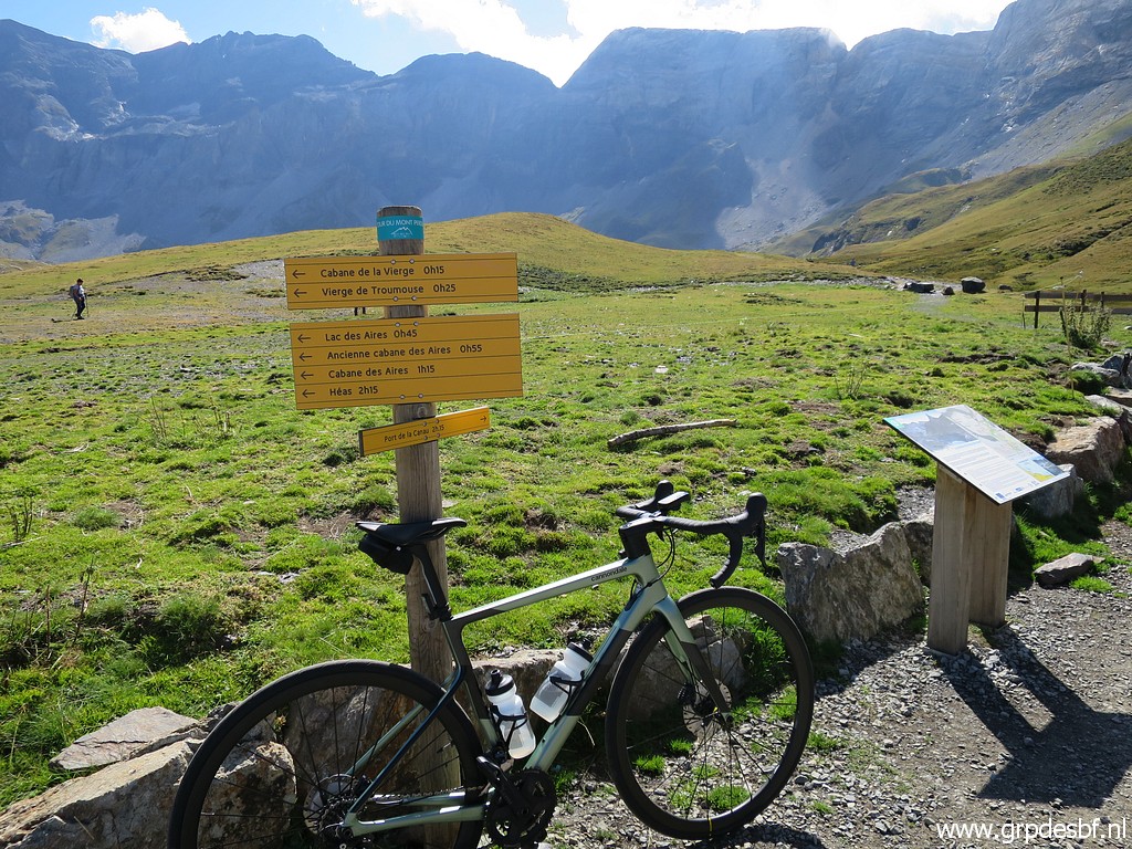 | Arriving at a sort of parking (but not accessible for tourists) with (click photo to enlarge) |
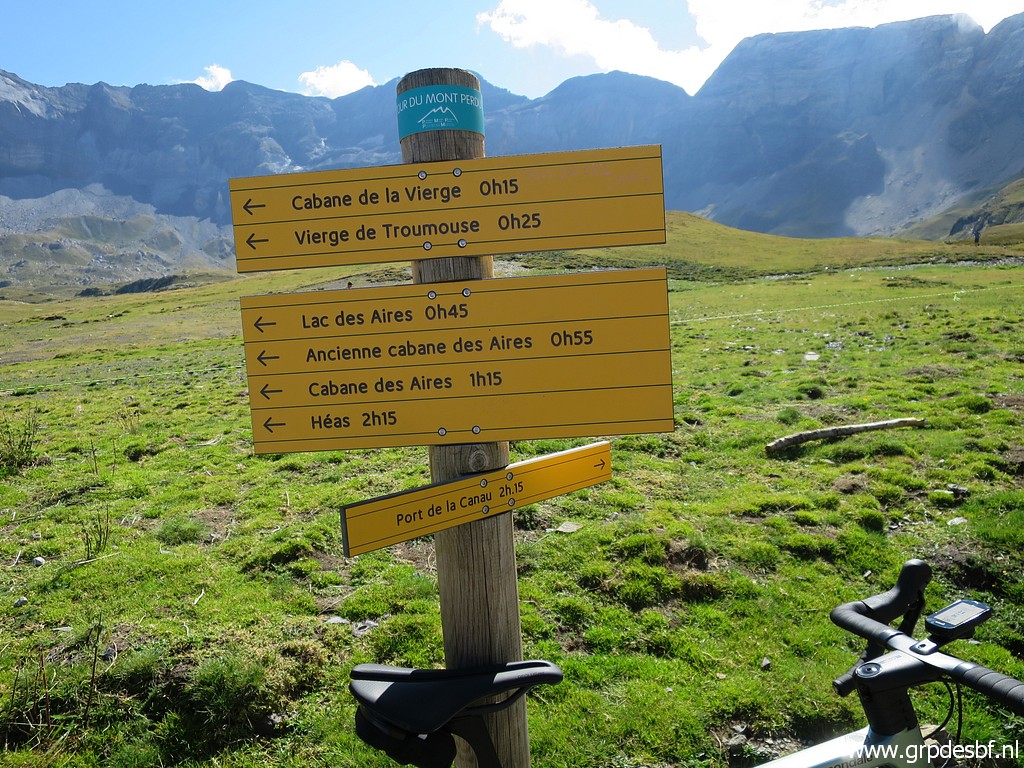 | a lot of directions. Port de la Canau is still 2:15h, it says. But that is exaggerared: it took me 1:15 to get to the Port. (click photo to enlarge) |
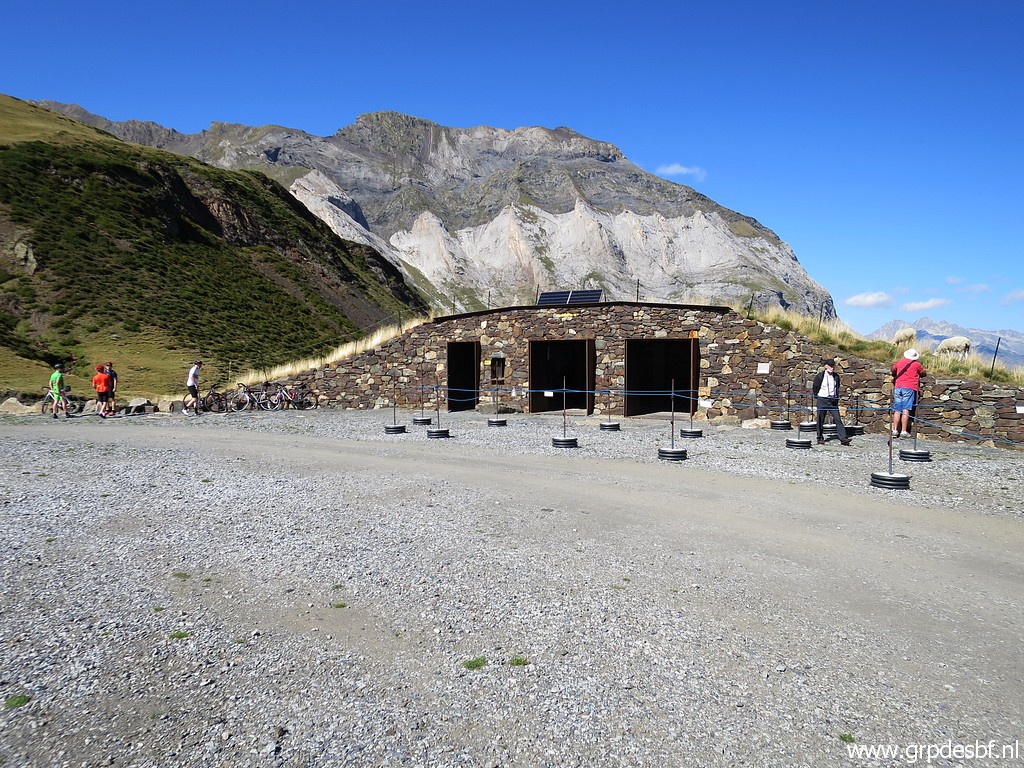 | A touristic facility at the spot (click photo to enlarge) |
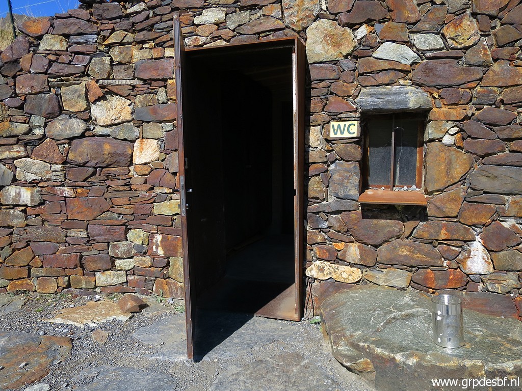 | with a toilet (click photo to enlarge) |
 | and information panels on the inside. I will have a closer look later. (click photo to enlarge) |
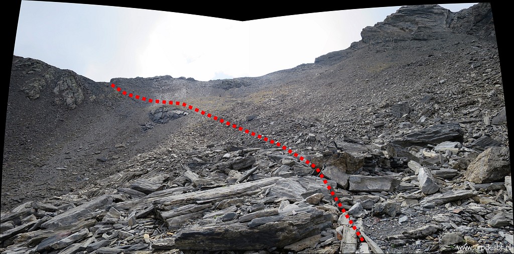
 | After the last waysign directing to Port de la Canau, the route is not obvious. This is the approximate route to follow. (click photo to enlarge) |
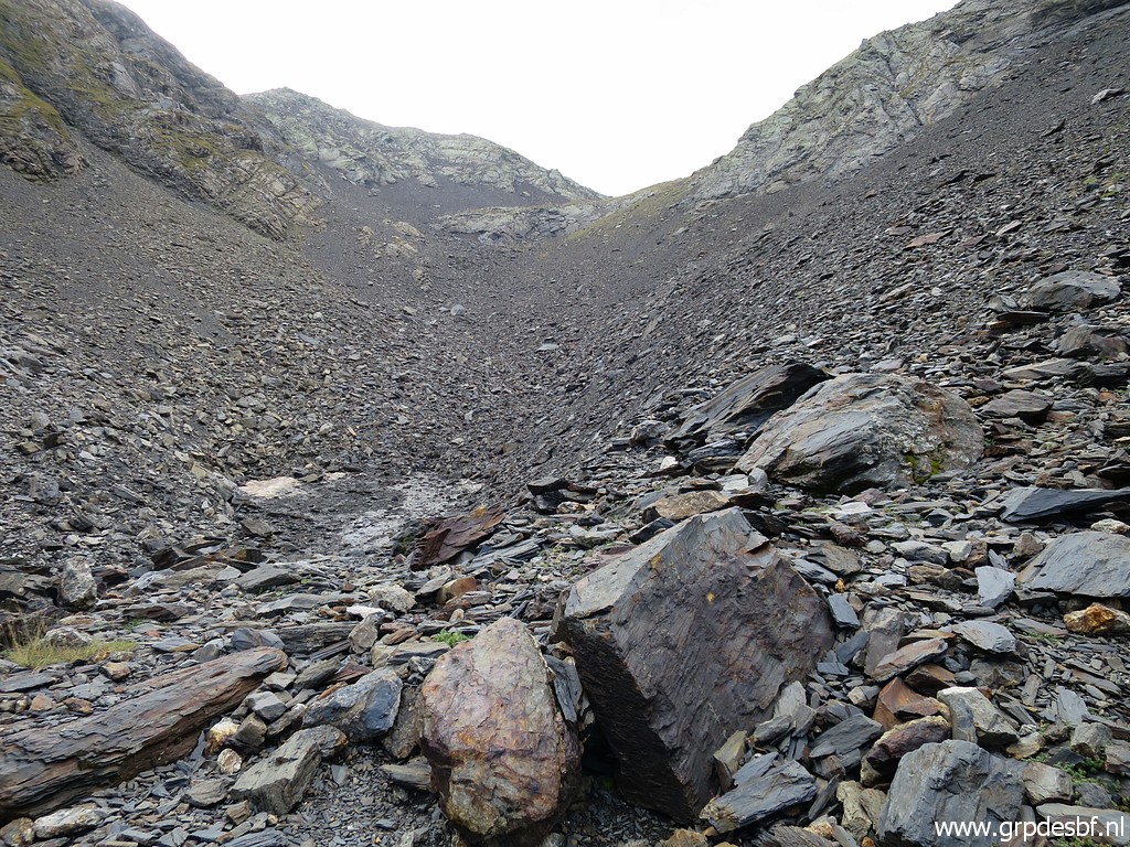
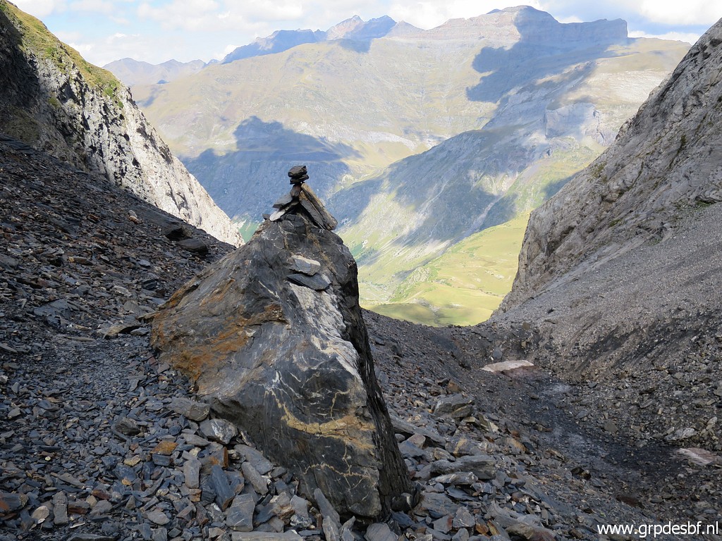
 | There is vague trail and some cairns (click photo to enlarge) |
 | to guide you to the entrance of the ravine climbing up to the Port. (click photo to enlarge) |
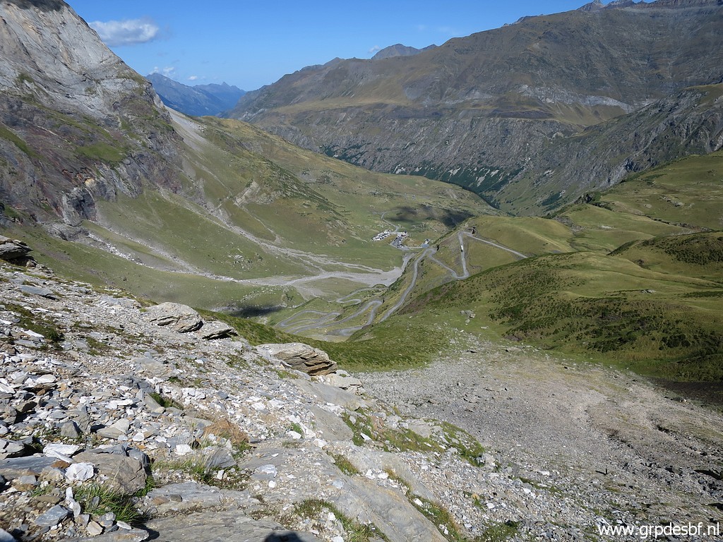 | From that 'entrance' a view back (click photo to enlarge) |
 | to Auberge de Maillet with the parking. (click photo to enlarge) |
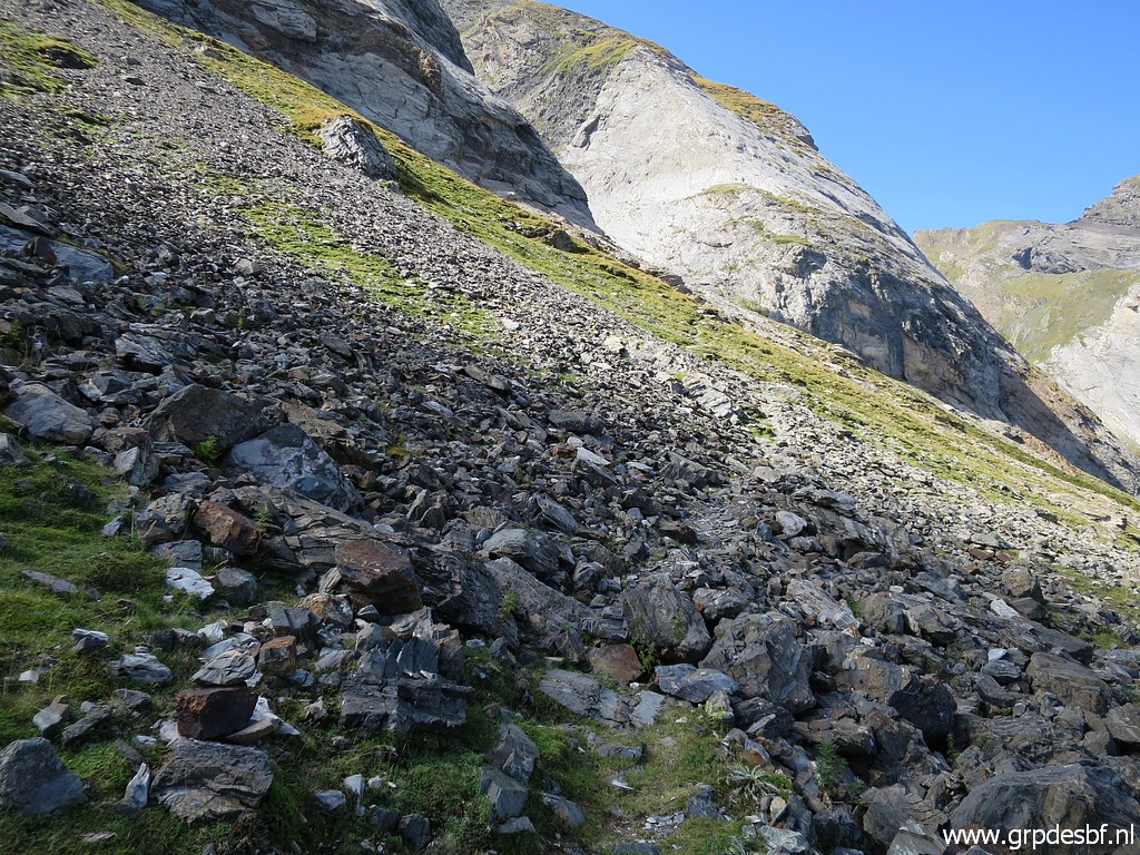
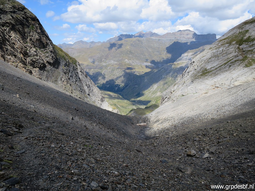
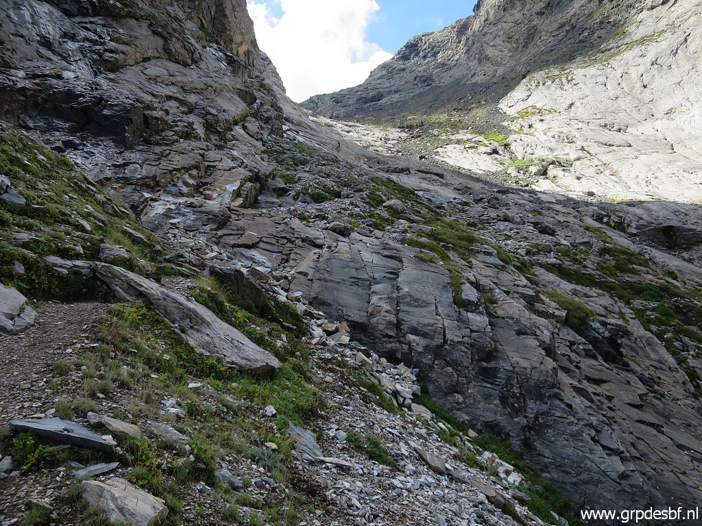 | There is a distinct - but often rocky - trail (click photo to enlarge) |
 | leading uphill. (click photo to enlarge) |
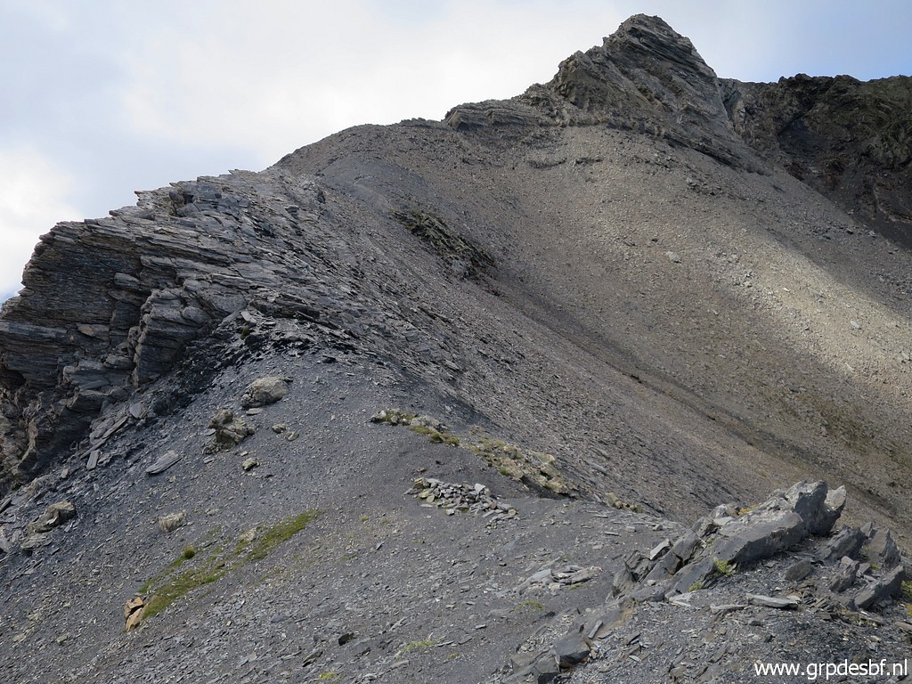
 | The last part in view. This is a quite high pass (± 1700) and the thin air requires deep breathing. (click photo to enlarge) |
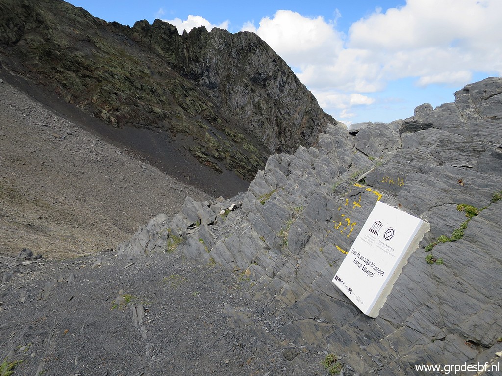
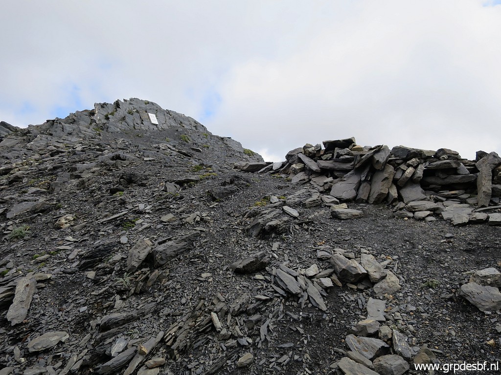 | Now arriving at the Port de la Canau. In the background the white plaque (click photo to enlarge) |
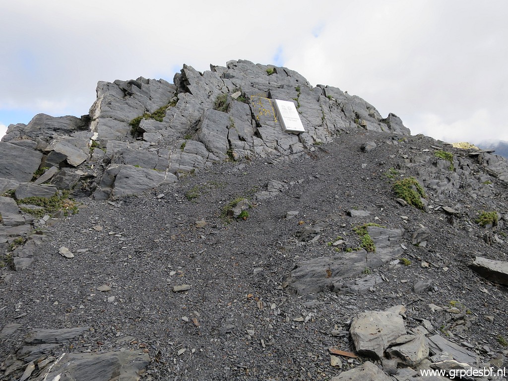 | besides bm321. (click photo to enlarge) |
 | Bm321 (click photo to enlarge) |
 | Bm321 (click photo to enlarge) |
 | Bm321 (click photo to enlarge) |
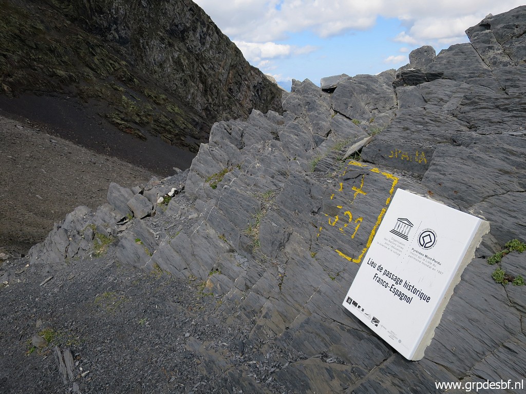 | Bm321 (click photo to enlarge) |
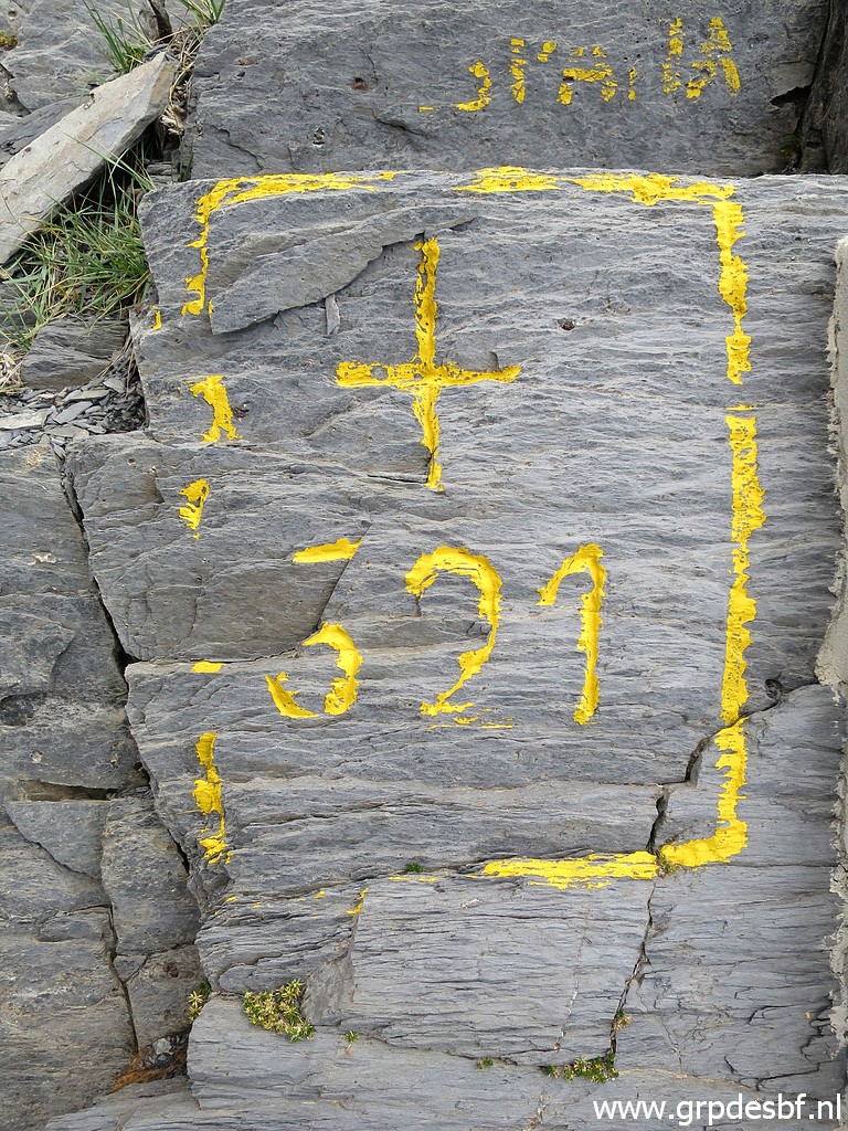 | Bm321 (click photo to enlarge) |
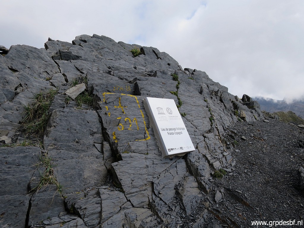
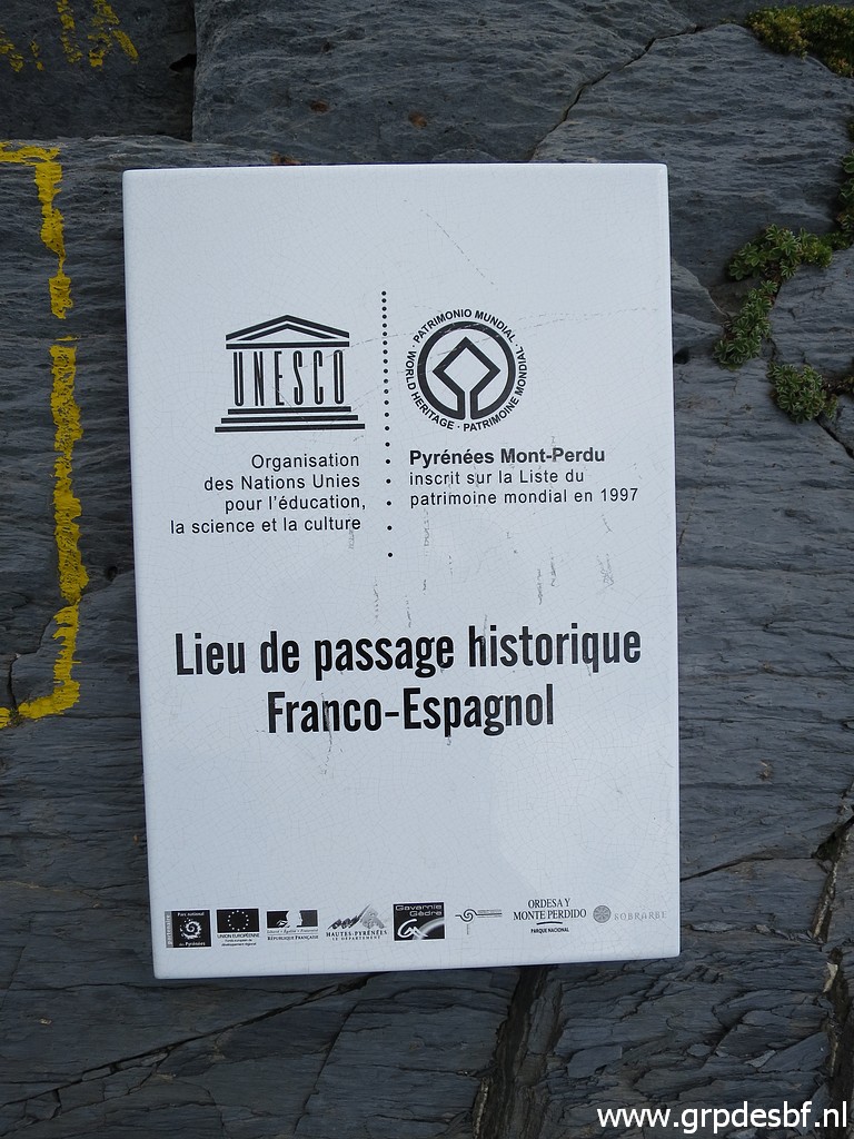 | The plaque besides bm321. The plaque has been placed in at some time in the last 10 years but probably in 2017 or earlier. I saw a similar one besides bm317 (Col de Bernatoire) on 3-8-2017. The question remains: why did they pick these two borderpasses and not other ones? (click photo to enlarge) |
 | A view into Spain. On 29-8-2010 I climbed the Port from the Spanish side. (click photo to enlarge) |
 | Looking into France (click photo to enlarge) |
 | Overview of the pass from the side of bm321. (click photo to enlarge) |
 | And a last view back to bm321. (click photo to enlarge) |
 | Descending (click photo to enlarge) |
 | back. (click photo to enlarge) |
 | Now I am back at the 'entrance'. (click photo to enlarge) |
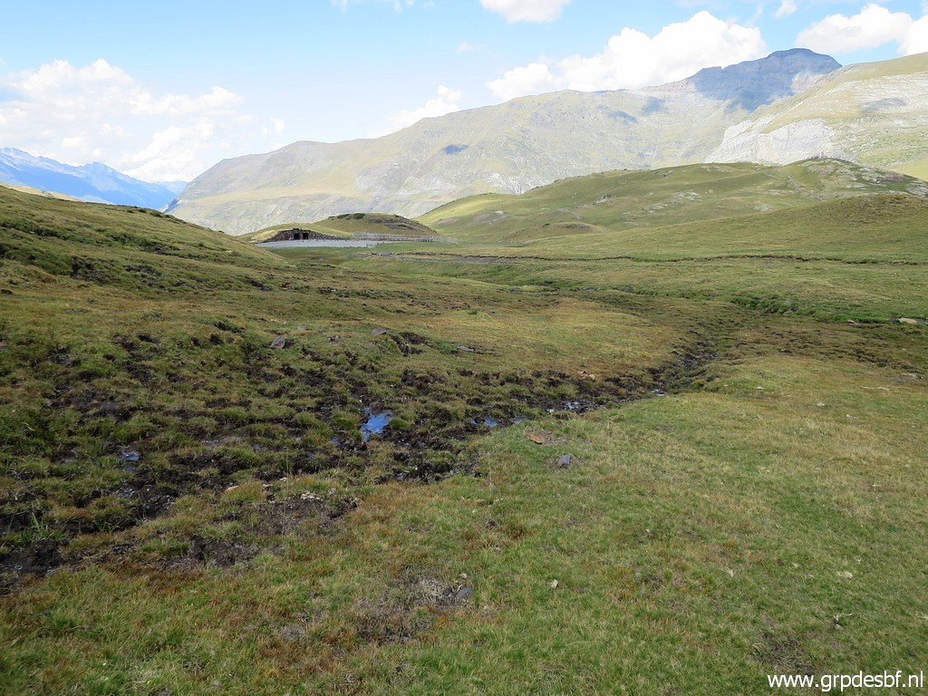 | Returning to the upper parking with the small exhibibion-building. (click photo to enlarge) |
 | Zoom-in to the statue of the Vièrge de Troumouse and (click photo to enlarge) |
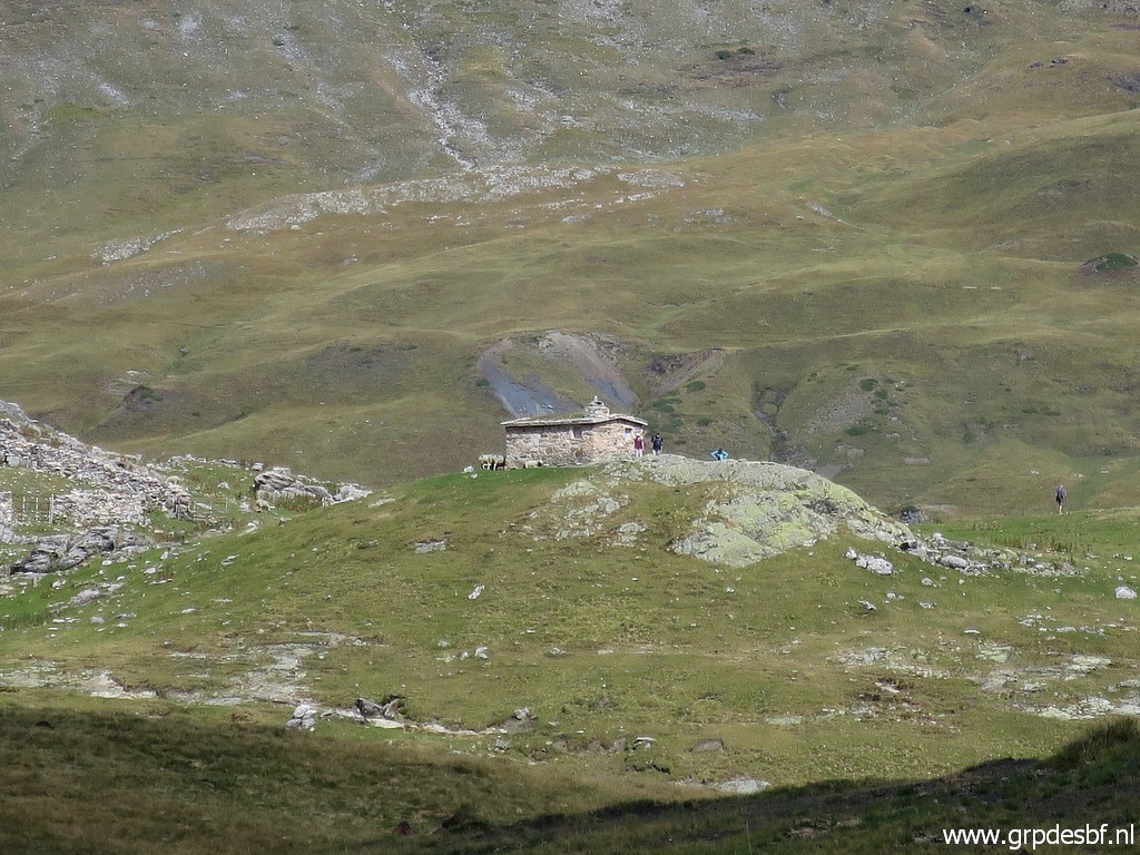 | the Cabane de la Vièrge. (click photo to enlarge) |
 | In the building there is information about the Cirque de Troumouse (click photo to enlarge) |
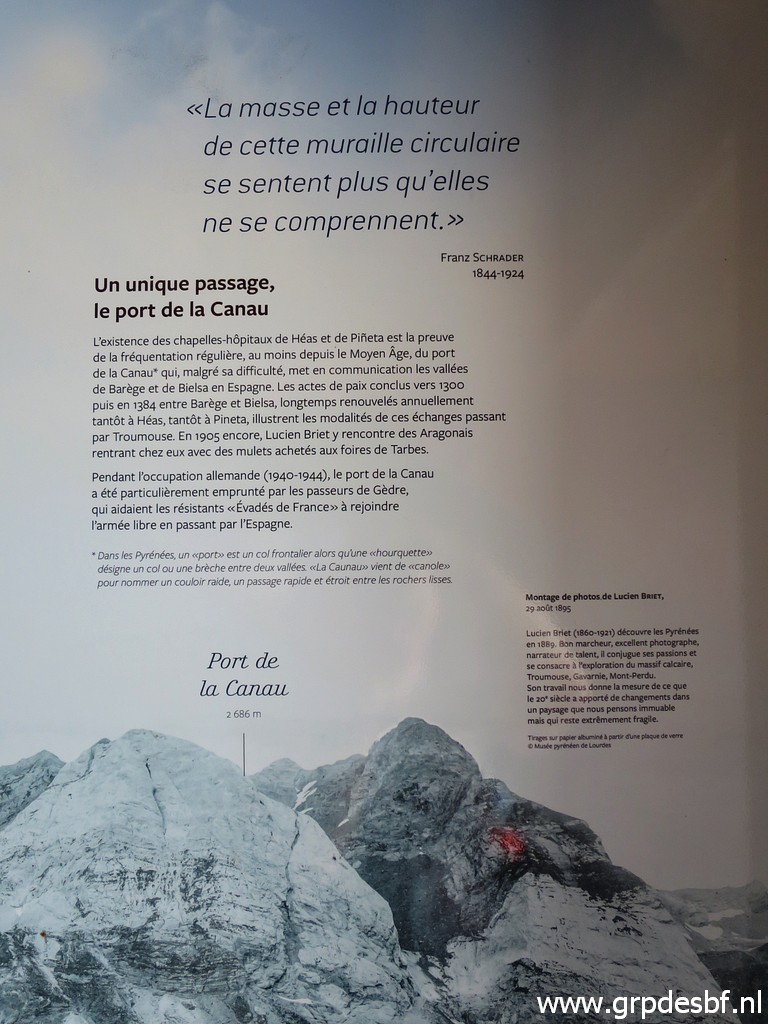 | and the Port de la Canau. (click photo to enlarge) |
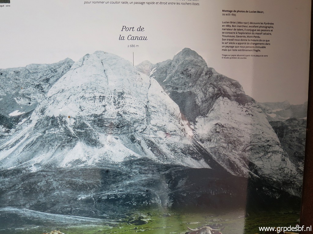 | Zoom-in (click photo to enlarge) |
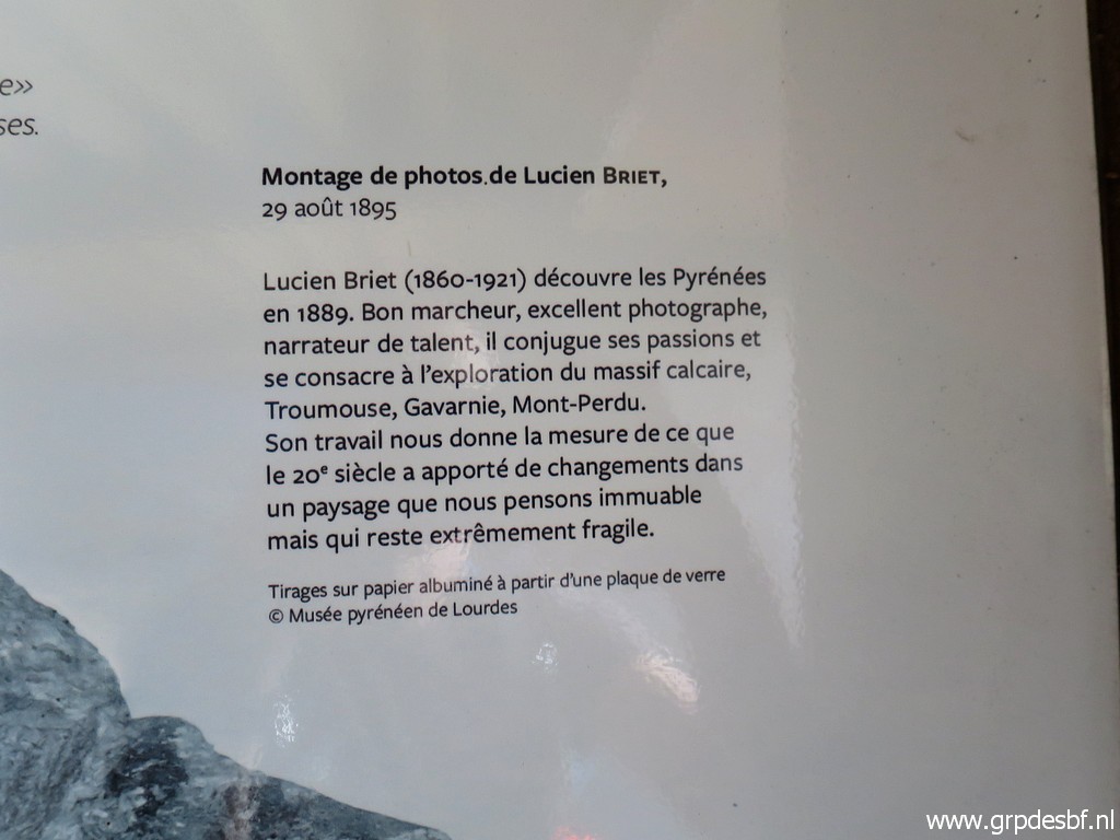 | Zoom-in One can see a collection of Lucien Briet's pictures on postcards on this page. (click photo to enlarge) |
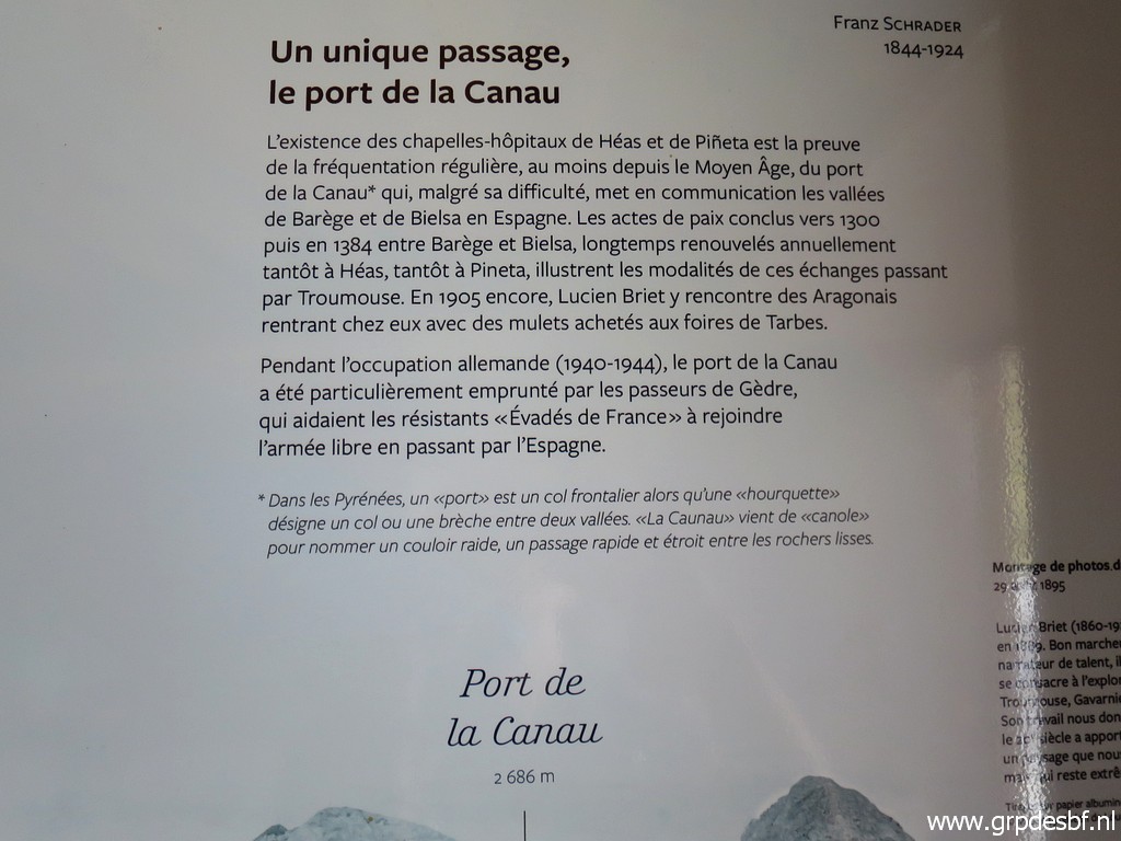 | Zoom-in (click photo to enlarge) |
 | Then returning to the lower parking, first part along the road with a view on the mighty mountainside. (click photo to enlarge) |
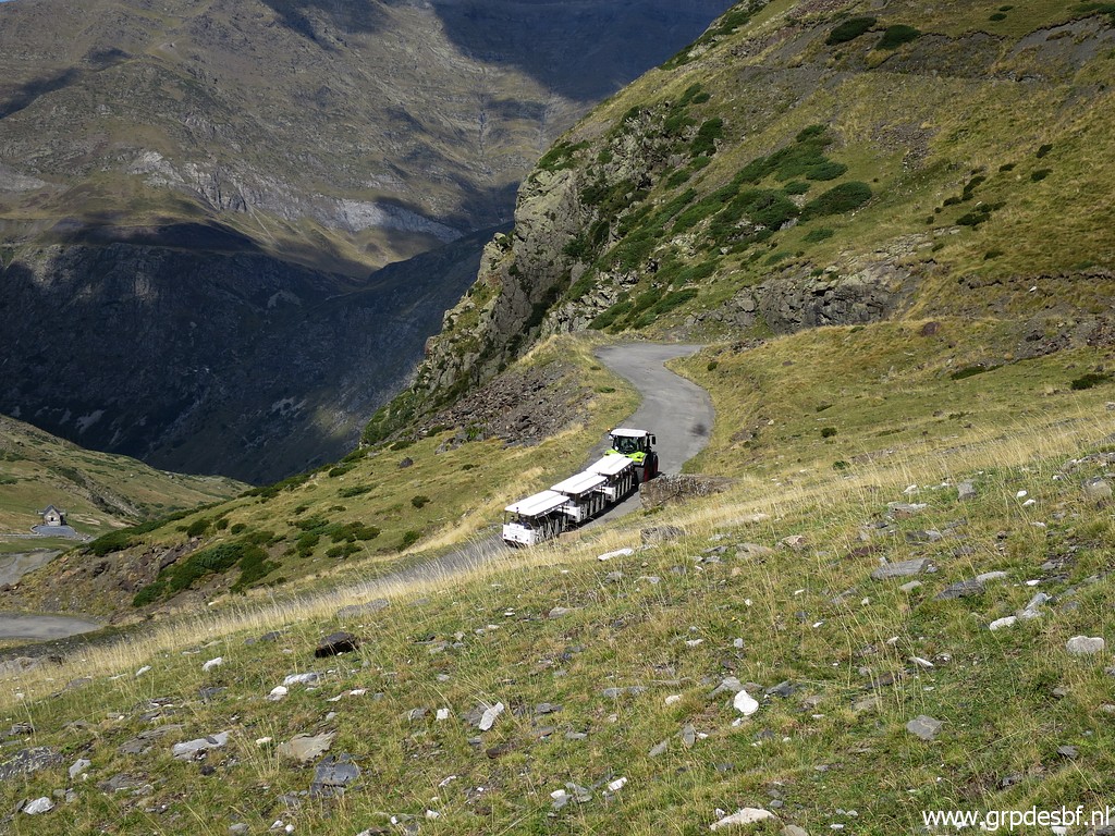 | Again spotting the 'shuttle train'. (click photo to enlarge) |
 | Almost back at the parking (click photo to enlarge) |
 | and then - on my way out the Cirque - stopping here. (click photo to enlarge) |
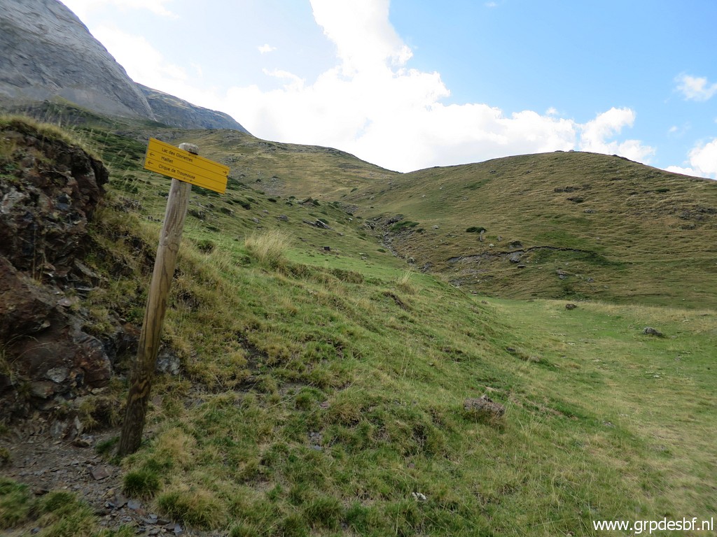 | It's the spot where a kind of dirtroad - coming from approximately Lac des Gloriettes - joins the road. Tomorrow I will check the other side of this connection between Lac des Gloriettes and the Cirque de Troumouse. (click photo to enlarge) |
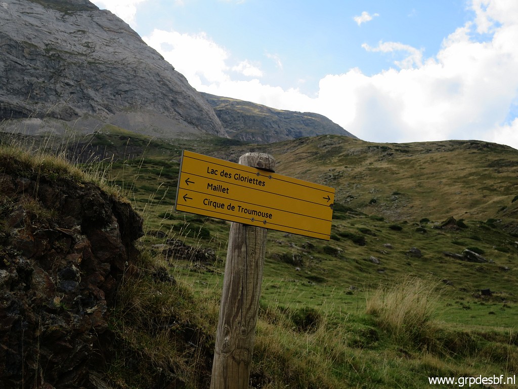 | Waysign confirming the connection I saw on the maps and wanted to check. I drive down the valley to Luz-St-Sauveur to camping le Hounta to stay there for 2 nights. (click photo to enlarge) |