|
The
bordermarkers of the Pyrenees : all my trips
 |
|
| -
thursday 14 april
2022 - With Carlos & Conchita bm143, solo redoing bm186-190 |
 |
 |
Summary:
part of a series of 10 daytrips in april 2022 in the Basque country,
mainly redoing bm085 to 197. This is day 6. Today: first Carlos & Conchita and I do together the difficult bm143. In the afternoon, I cover solo bm186 to bm190. Weather: first trip foggy, second trip slightly cloudy. Basecamp: camping Irouleguy in Saint-Étienne-de-Baïgorry. The part with Carlos & Conchita also to be seen on their website. |
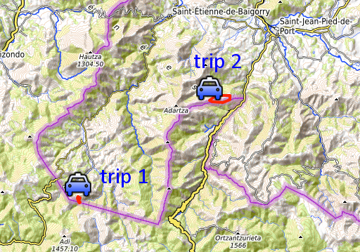
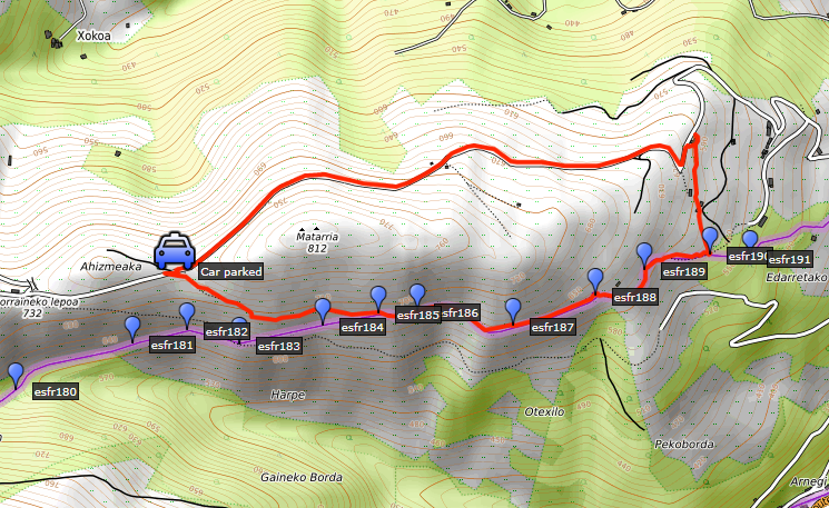
| Trip 1 - bm143 (with Carlos & Conchita) |
|
 |
From the pass of Korrotako lepoa we will descend to bm143. After that, I will do solo a reconnaissance of a shortcut towards bm145. |
 |
According to Garmin
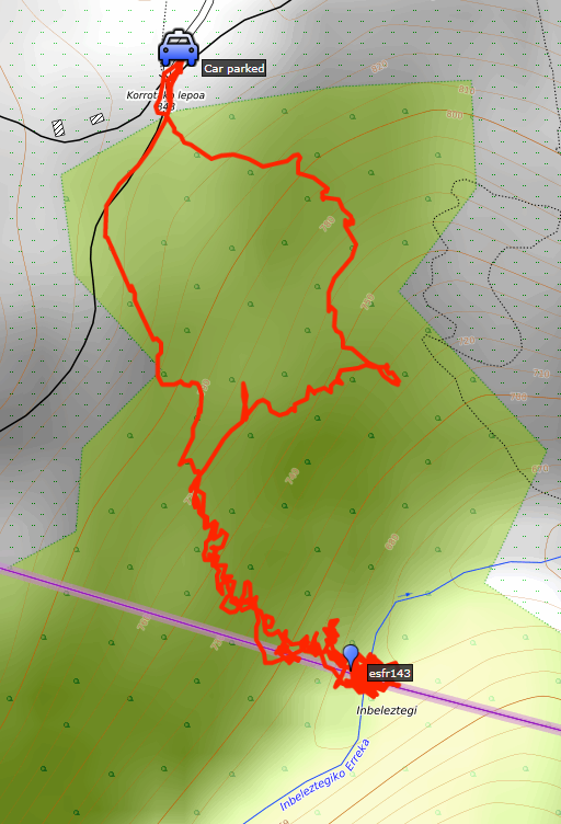
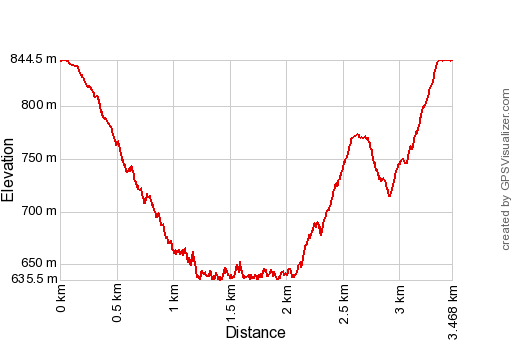
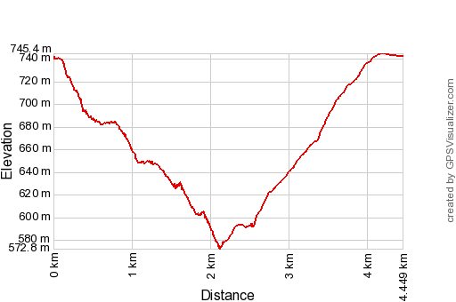
Basecamp (uncorrected track with elevation added by Gpsvisualizer.com): Distance: 3,5km Max-height: 845m Min-height: 635m Elevation: +562m -561m Total elevation: 1123m Start 10:28 Finish 13:12 Total time: 2:44 |
| track-20220414-trip1.kml (click to open this trip in Google Earth or copy link to Google Maps; click right on this link to download gpx-version). The gps-track has not been manually corrected which explains the inaccuracy and misalignment at some points. For cartographic backgrounds: see the cartography-page Gps-waypoints of all bordermarkers (most recent version): kml: esfr-bordermarkers-all-waypoints.kml gpx: esfr-bordermarkers-all-waypoints.gpx (with elevation added by gpsvisualizer.com) |
|
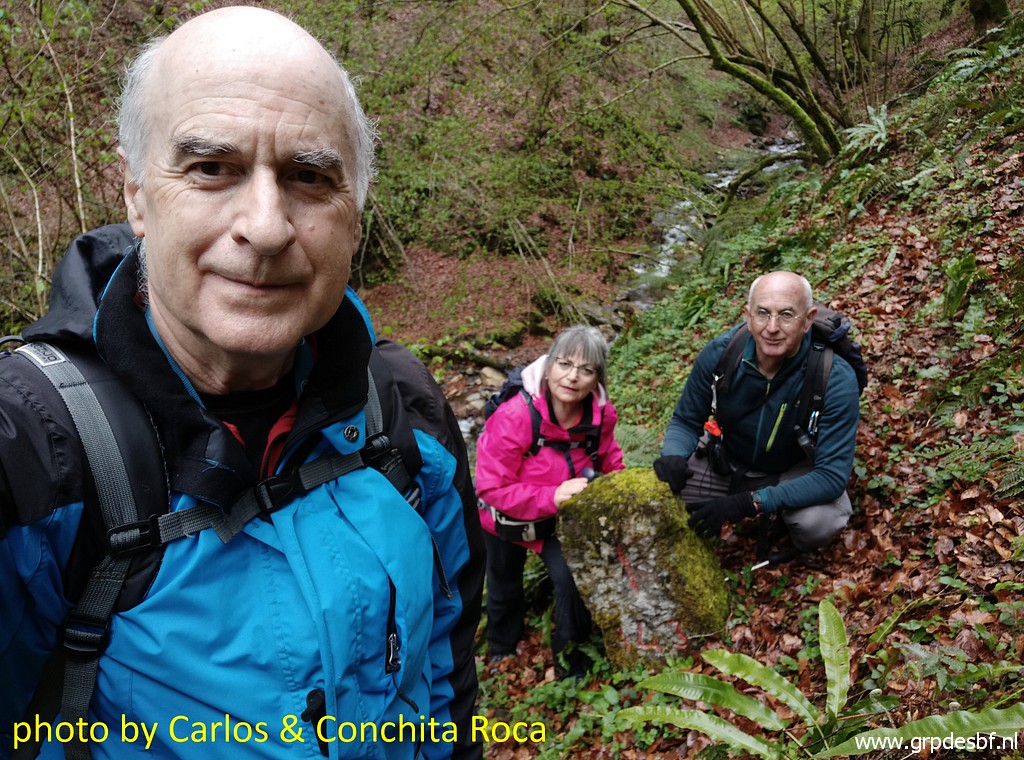
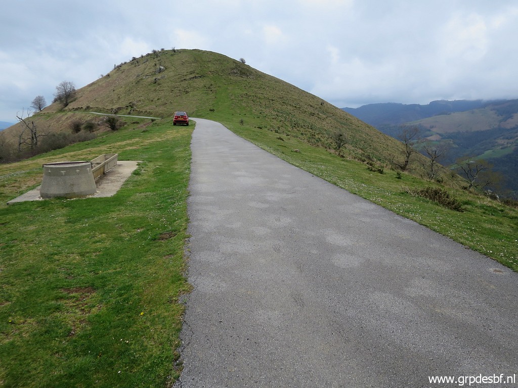
 | Carlos and Conchita have picked me up at the camping. Parking at the pass of Korrotake lepoa. (click photo to enlarge) |
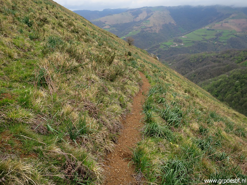
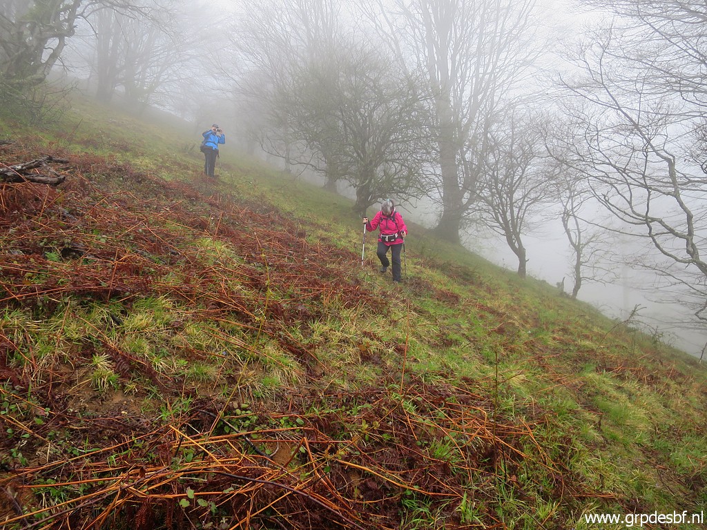 | First descending on a dirtroad below the tarmac road to bm142, then descending down the hillside, no trails. (click photo to enlarge) |
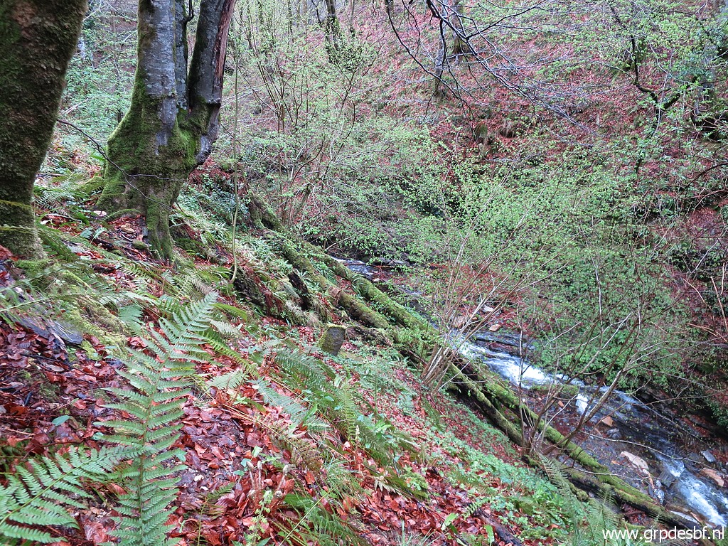
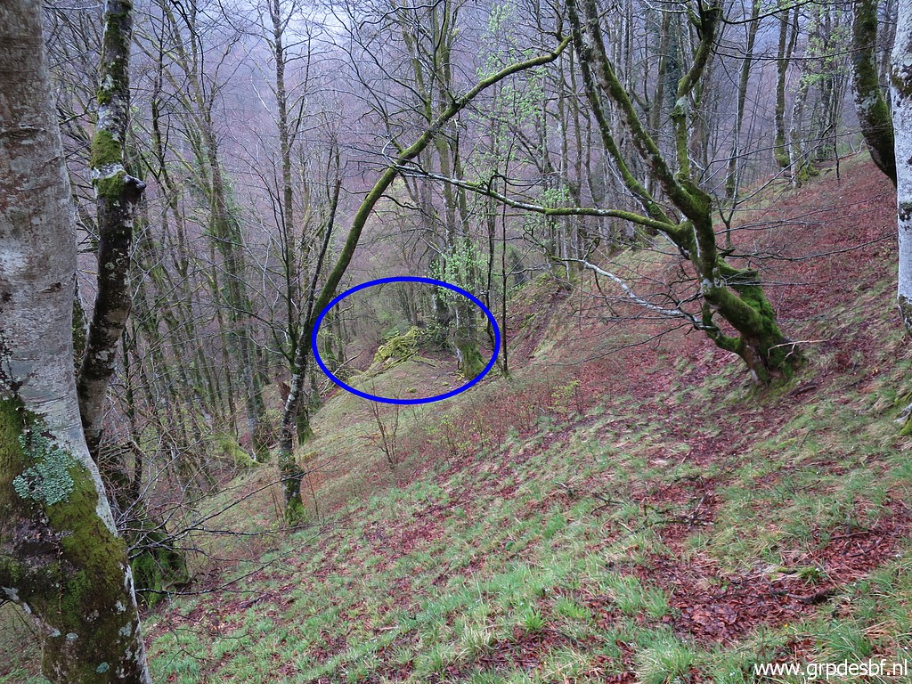 | We approach a sort of (click photo to enlarge) |
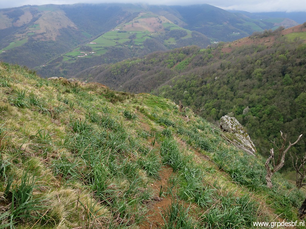
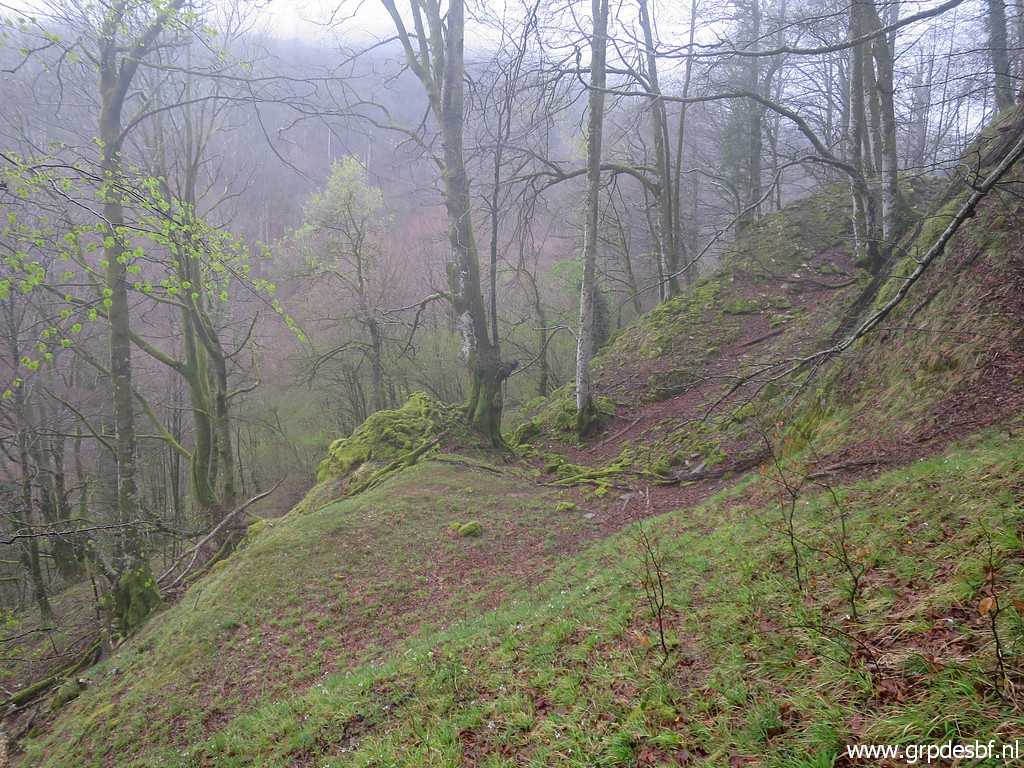 | landmark on the descent to bm143: two rocky humps which form a sort of balcony. You can pass through them and then the slope gets steeper and sometimes slippery. (click photo to enlarge) |
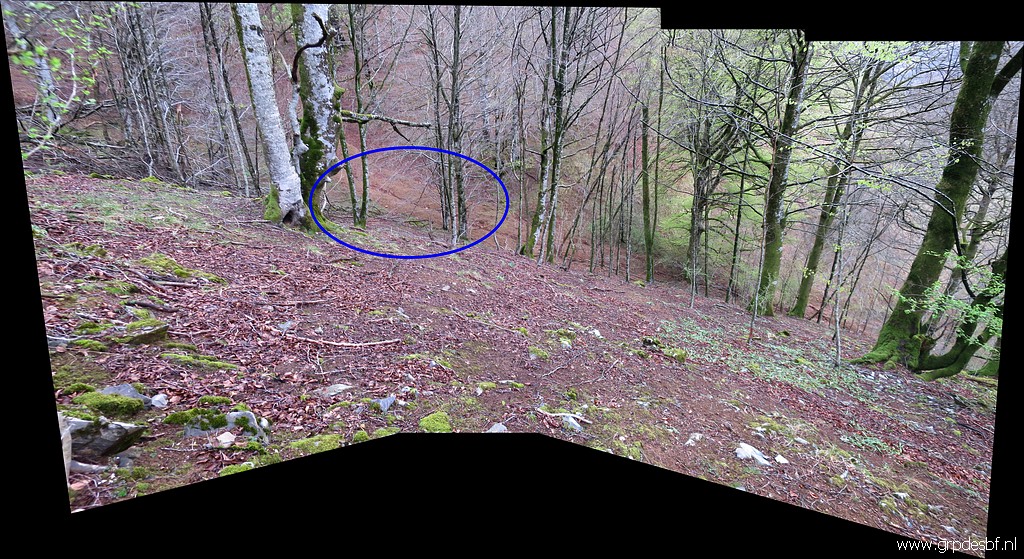
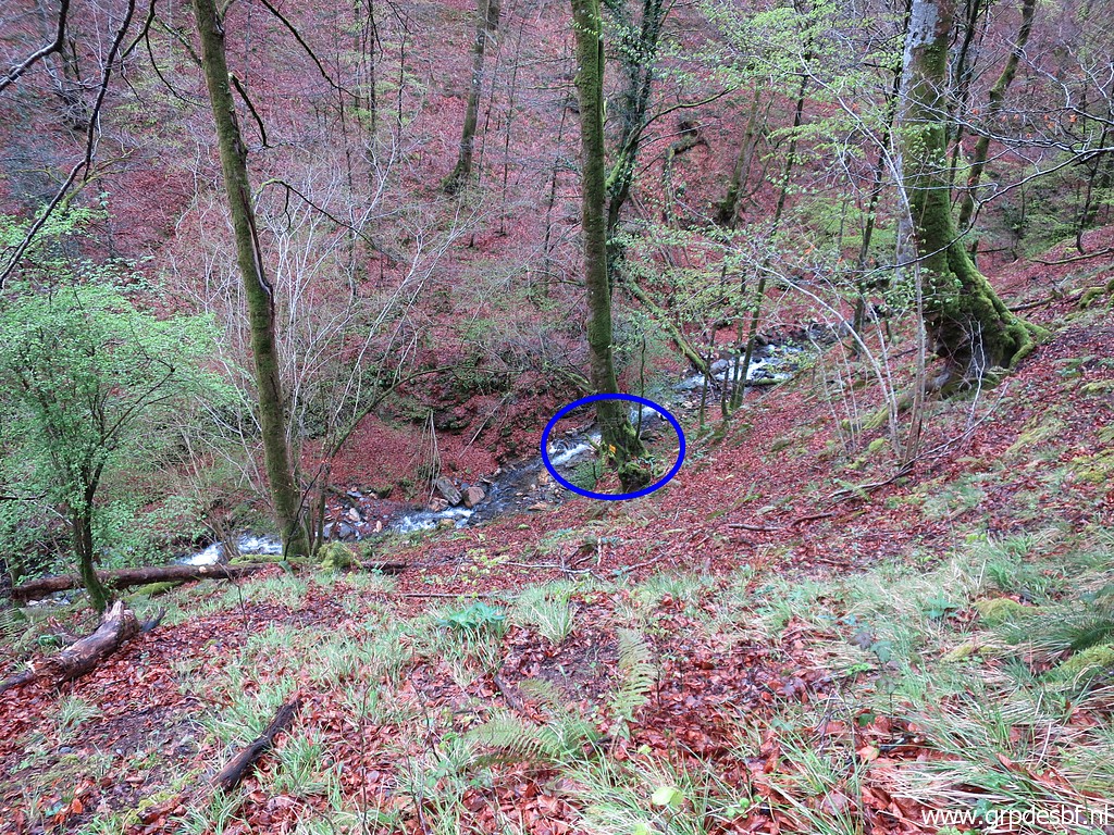 | Getting closer to the stream where I spot the yellow (probably saying in Basque language 'hunting reserved') on a tree. I rember that from 3 days ago (on 11-4-2022) Bm143 is ± 20-30m to the N. (click photo to enlarge) |
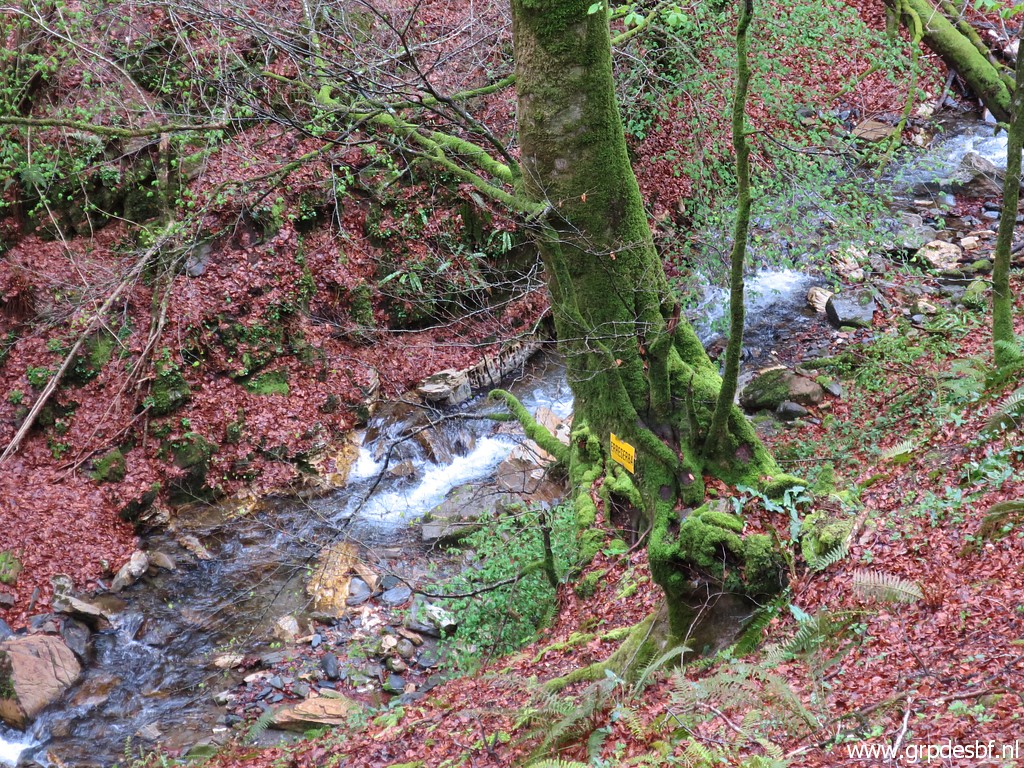 | Zoom-in of the yellow sign. (click photo to enlarge) |
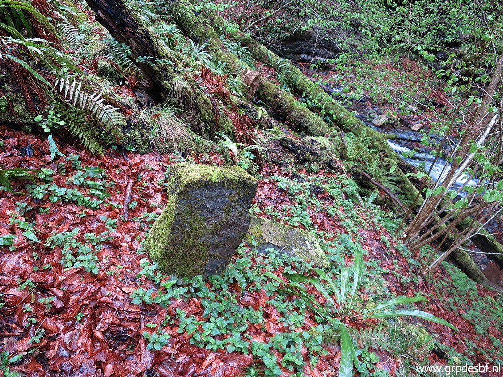
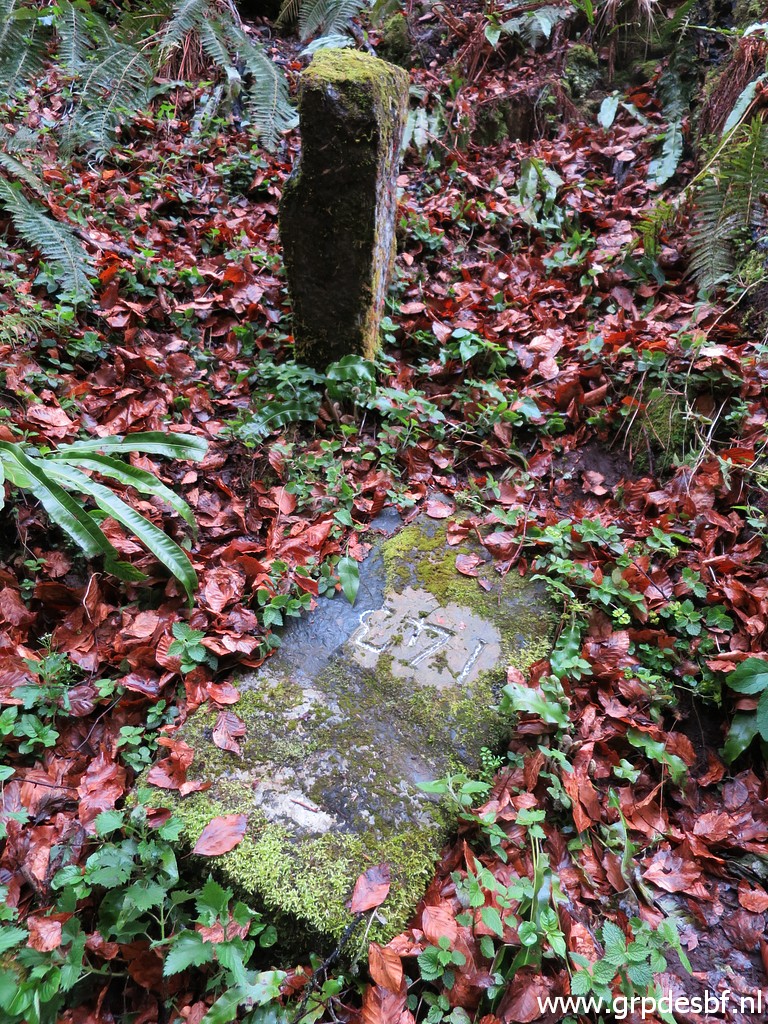
 | Then easily finding bm143. (click photo to enlarge) |
 | Arriving at bm143. (click photo to enlarge) |
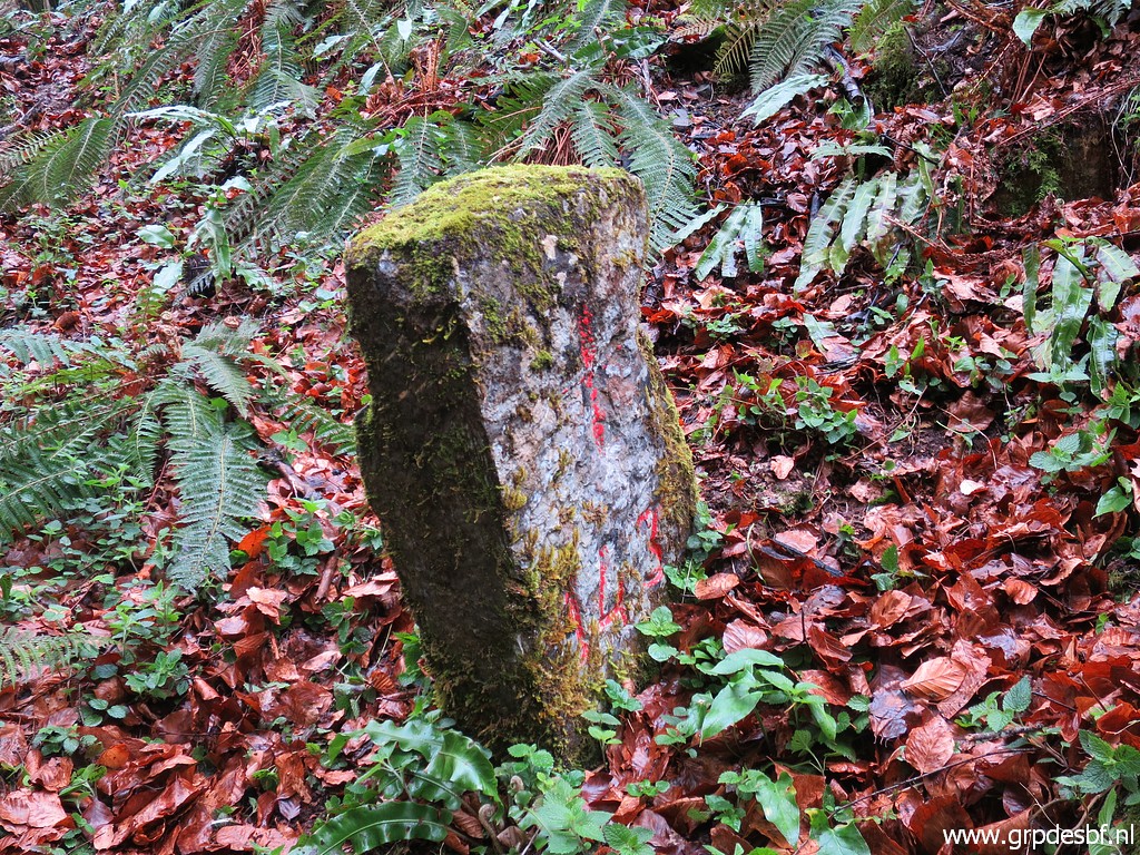
 | Bm143 (click photo to enlarge) |
 | Bm143 (click photo to enlarge) |
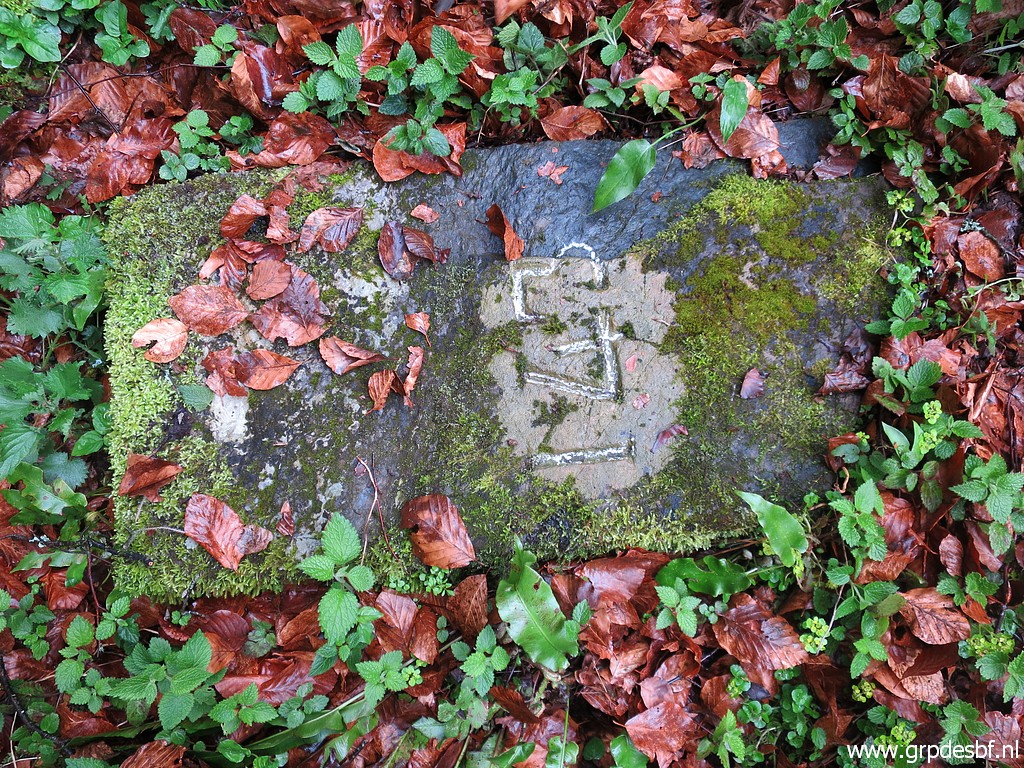
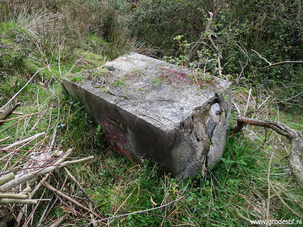
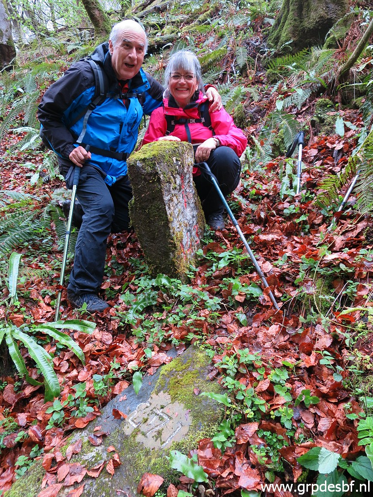 | Bm143, with both parts (it is split vertically in half). (click photo to enlarge) |
 | Bm143 (click photo to enlarge) |
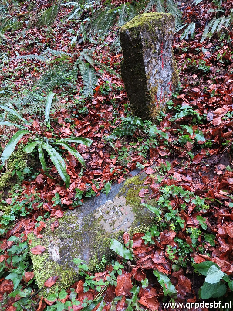 | Bm143, both parts. (click photo to enlarge) |
 | Bm143 (click photo to enlarge) |
 | Bm143 (click photo to enlarge) |
 | Bm143 (click photo to enlarge) |
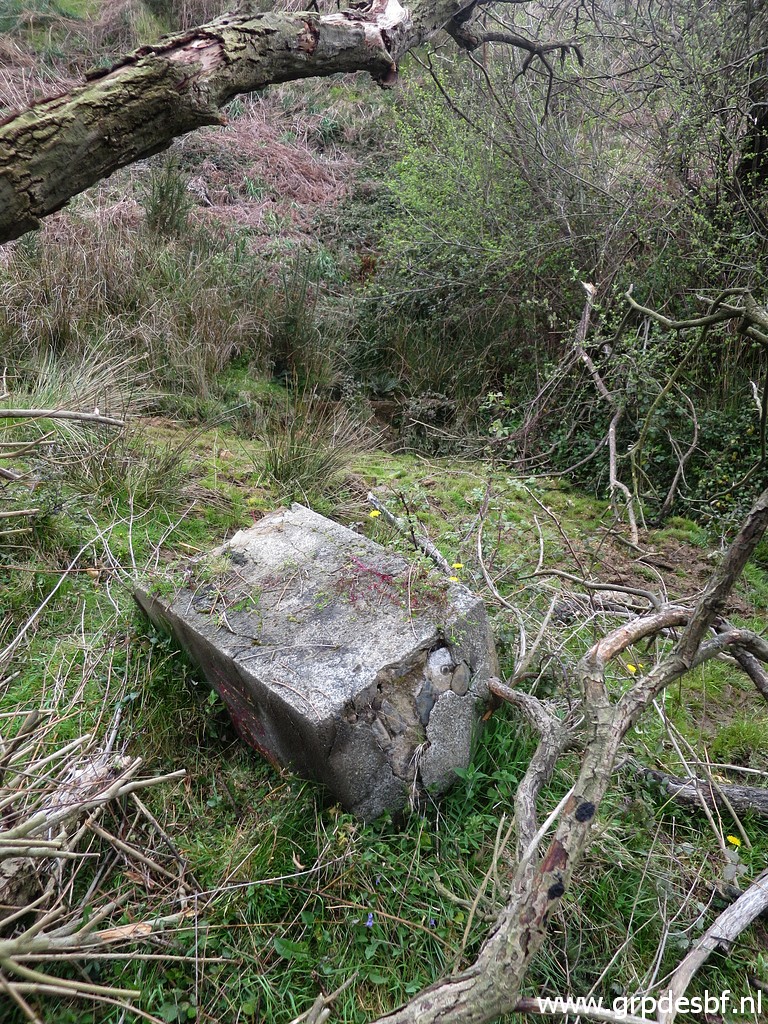
 | Bm143, the last picture. (click photo to enlarge) |
 | Climbing back. Carlos and Conchita will continue to bm142 but I want to do a reconnaissance of a shortcut to bm144. (click photo to enlarge) |
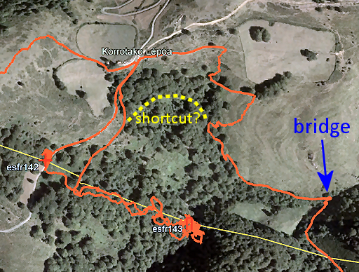 |
What is this reconnaissance? This is my route on 11-4-2022 from bm143 towards bm145. A direct crossing of the stream below bm143 would be the fastest way but I found the stream-borders too steep. So I tried the red route but wondered if the yellow shortcut could be an option. |
 | On this trail (between bm143 and the dirtroad) I go N. (click photo to enlarge) |
 | It's a fine trail but (click photo to enlarge) |
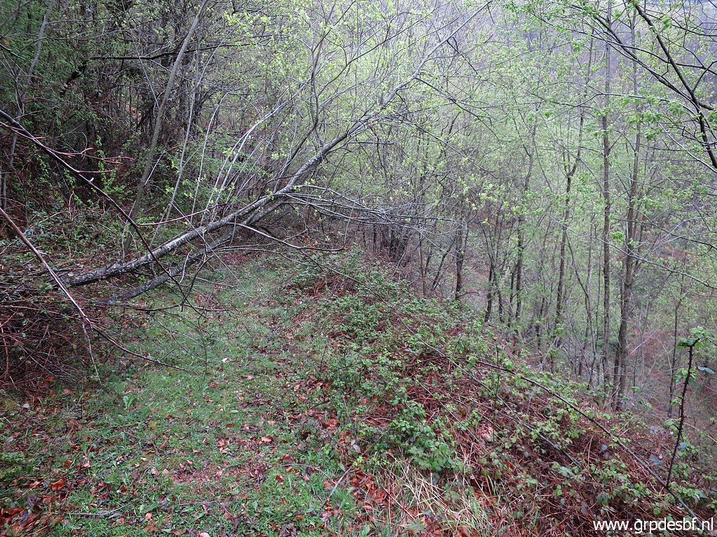 | gets overgrown later on. (click photo to enlarge) |
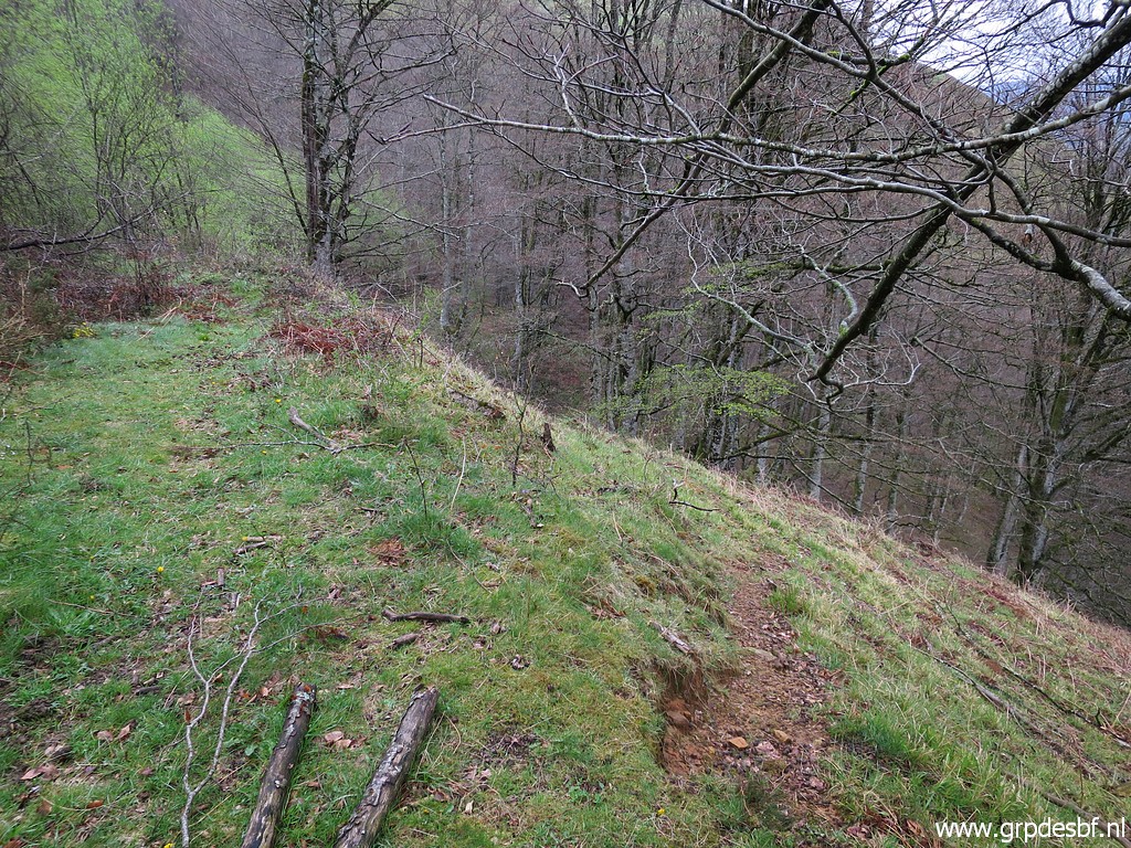 | But a bit before that, there is a trail going downhill into the forest and there fading away (click photo to enlarge) |
 | but I can spot the mudstream(bed) cq trail (click photo to enlarge) |
 | which (zoom-in) I found on 11-4-2022 which brings you nicely to the bridge. So this is a useful shortcut towards bm144. Mission accomplished. I climb back - with some difficulty - to the car. Back at the car we meet again and drive back, I take a nap in the car. They drop me at the camping and I drive to my second trip. (click photo to enlarge) |
| Trip 2 - bm186-190 (solo) |
|
 track-20220414-trip2.kml (click to open this trip in Google Earth or copy link to Google Maps; click right on this link to download gpx-version). The gps-track has not been manually corrected which explains the inaccuracy and misalignment at some points. For cartographic backgrounds: see the cartography-page Gps-waypoints of all bordermarkers (most recent version): kml: esfr-bordermarkers-all-waypoints.kml gpx: esfr-bordermarkers-all-waypoints.gpx (with elevation added by gpsvisualizer.com) |
|
 |
According to Garmin
Basecamp (uncorrected track with elevation added by Gpsvisualizer.com): Distance: 4,4km Max-height: 745m Min-height: 573m Elevation: +230m -230m Total elevation: 460m Start 15:15 Finish 17:05 Total time: 1:50 |
 | Approximately the same parking spot as yesterday. Note the trees to the right, that's where (click photo to enlarge) |
 | the distinct trail starts (click photo to enlarge) |
 | going downhill (click photo to enlarge) |
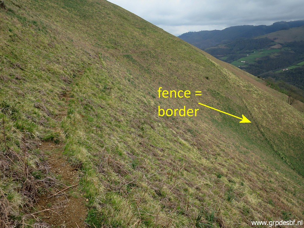 | towards the borderfence (click photo to enlarge) |
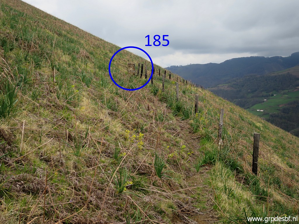 | and meeting the fence at bm185. (click photo to enlarge) |
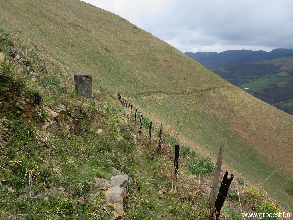 | I continue along the fence to bm186. (click photo to enlarge) |
 | Bm186 (click photo to enlarge) |
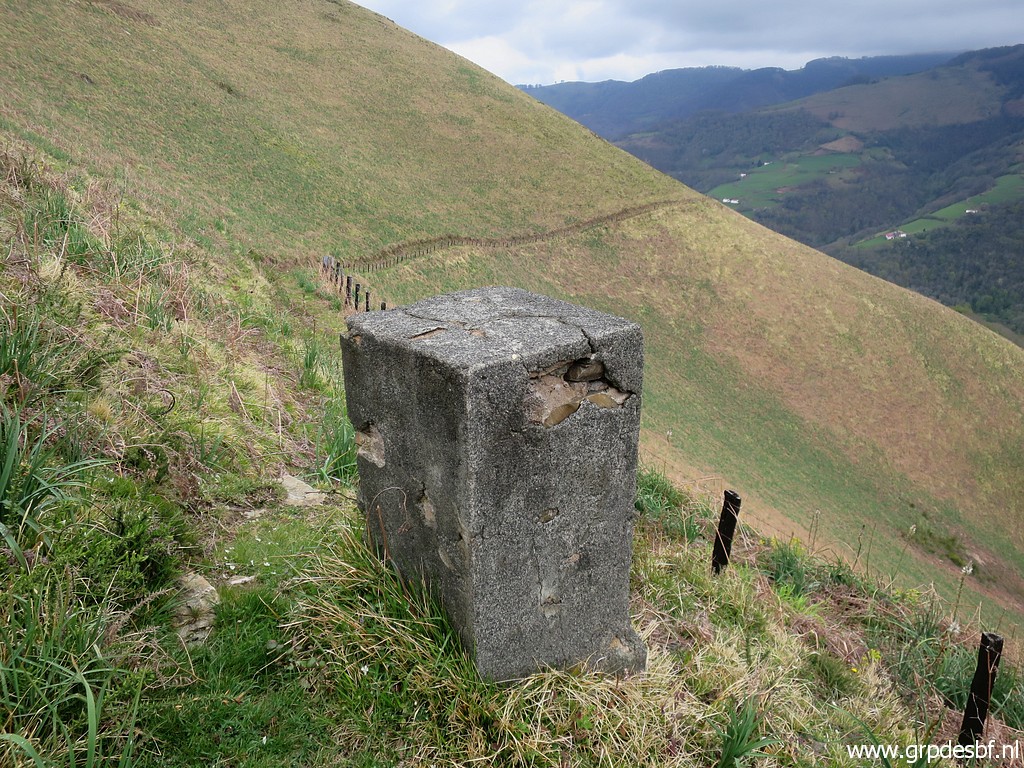 | Bm186 (click photo to enlarge) |
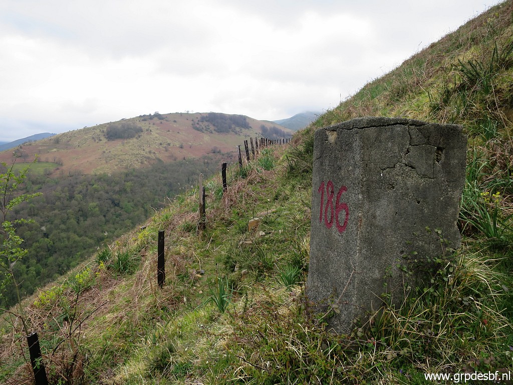 | Bm186, looking back. (click photo to enlarge) |
 | Continuing to bm187. (click photo to enlarge) |
 | Bm187 (click photo to enlarge) |
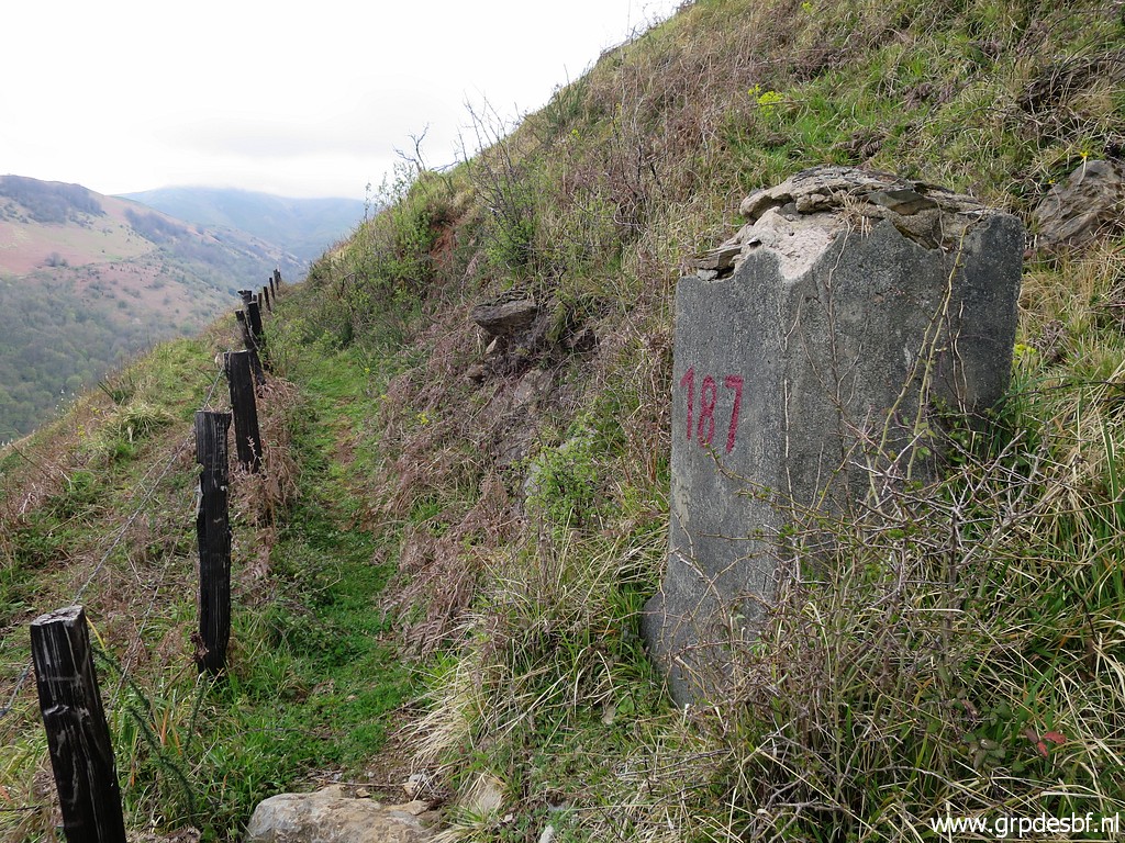 | Bm187 (click photo to enlarge) |
 | Bm187, looking back. (click photo to enlarge) |
 | Bm187 (click photo to enlarge) |
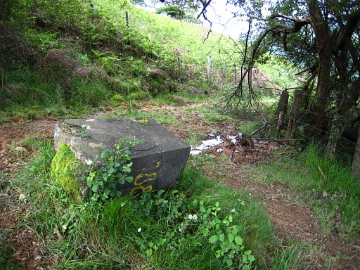
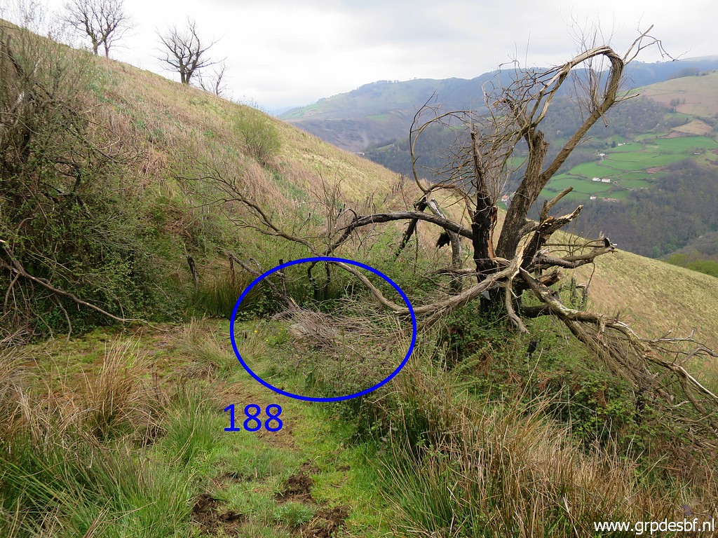 | Then I arrive at bm188, (click photo to enlarge) |
 | still lying flat, covered with branches now. (click photo to enlarge) |
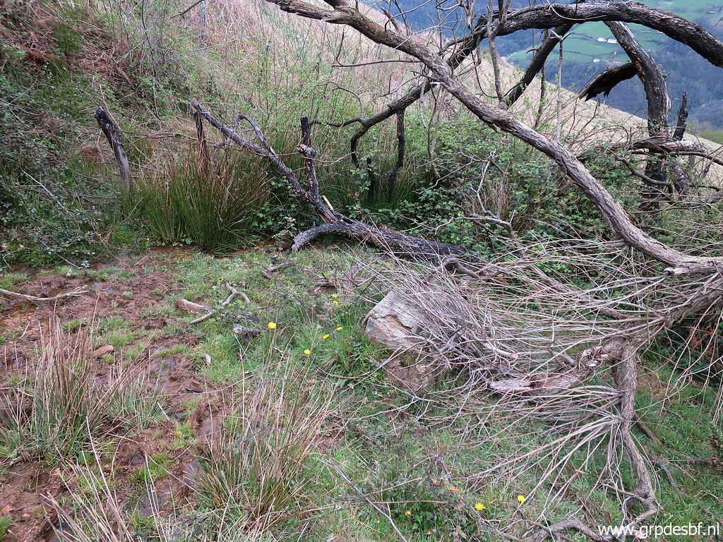
 | I do a lot of pruning to uncover bm188. (click photo to enlarge) |
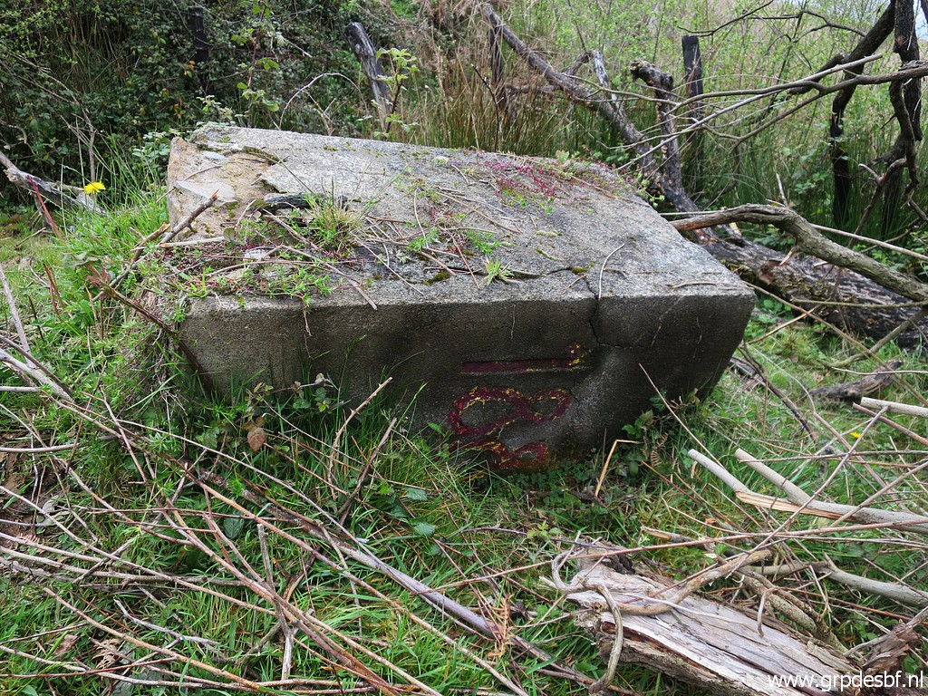
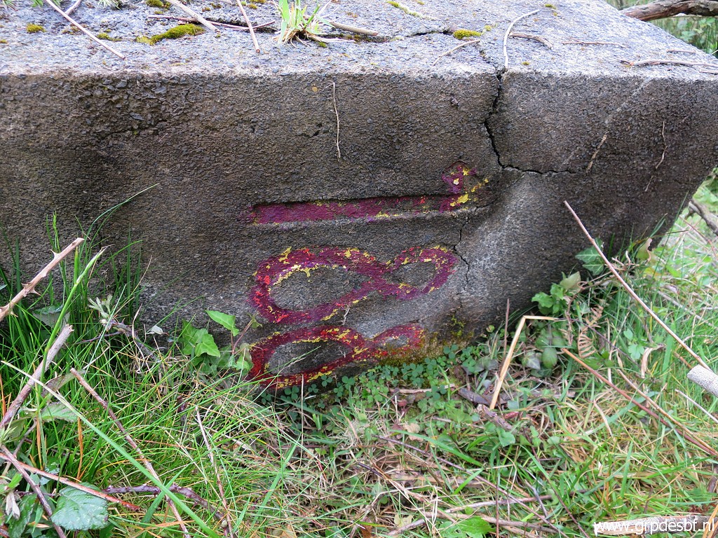 | Bm188 (click photo to enlarge) |
 | Bm188 (click photo to enlarge) |
 | Bm188 (click photo to enlarge) |
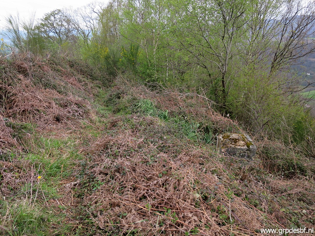
 | Bm188 The trail that brought me up to here, now stops. (click photo to enlarge) |
 |
On 27-5-2009 there was still a clear continuation of the trail leading to bm189. |
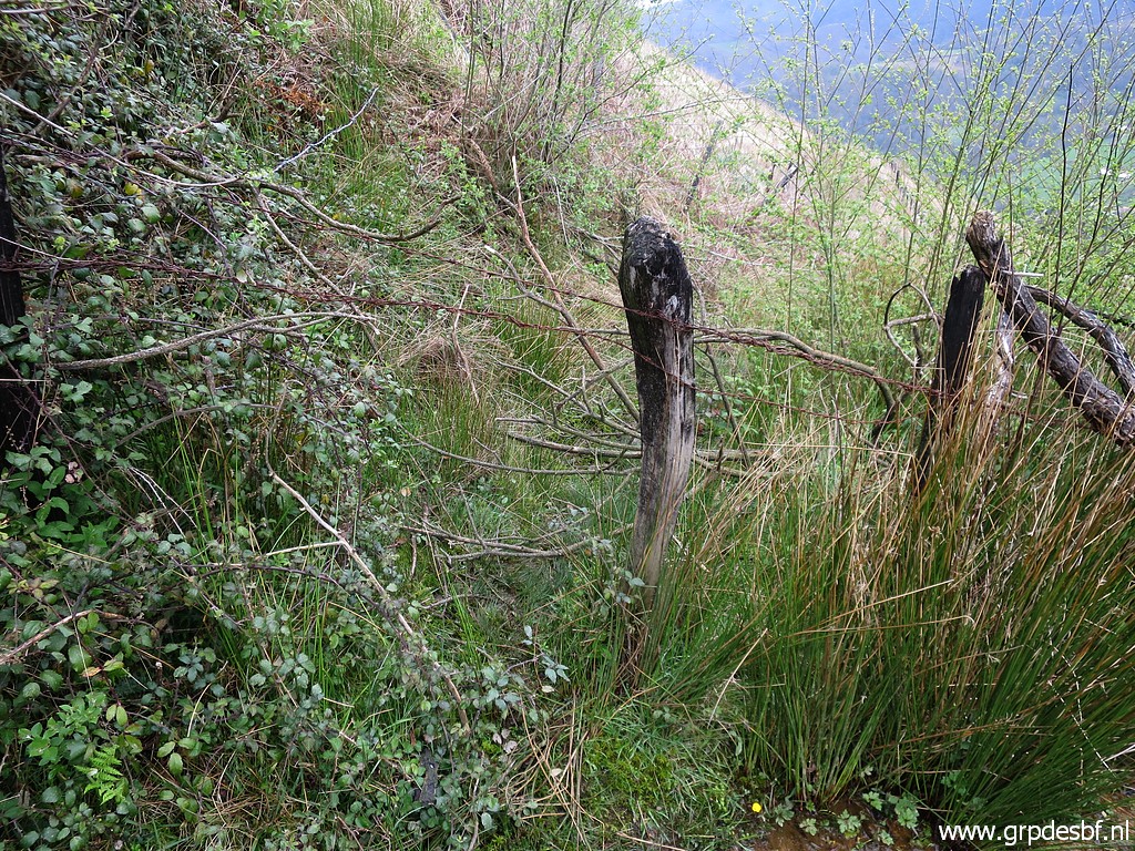 | But now - just beyond bm188 - there is now a fence. What does this mean? I cannot use this route for the main route of my GRPdesBF-trail as I did on this stage. As a variant it's OK. So I have to think of an alternative main route for this stage. (click photo to enlarge) |
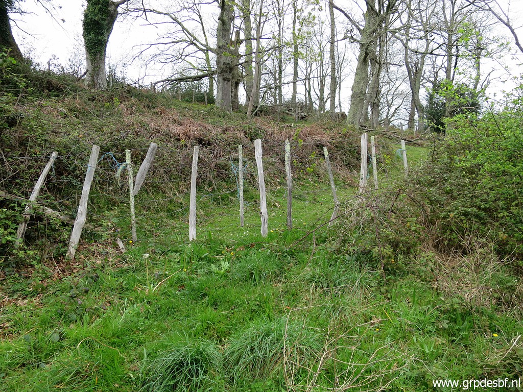
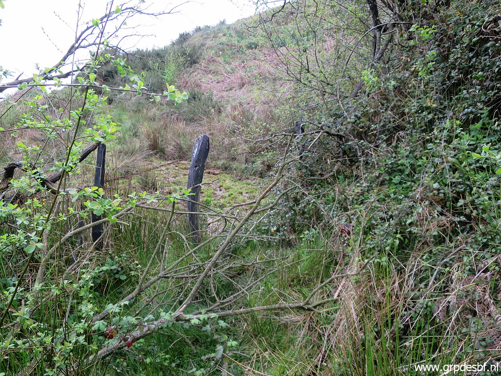 | I cross the fence and now look back. (click photo to enlarge) |
 | There is still a sort of track between 2 fences but it is hardly used nowadays. (click photo to enlarge) |
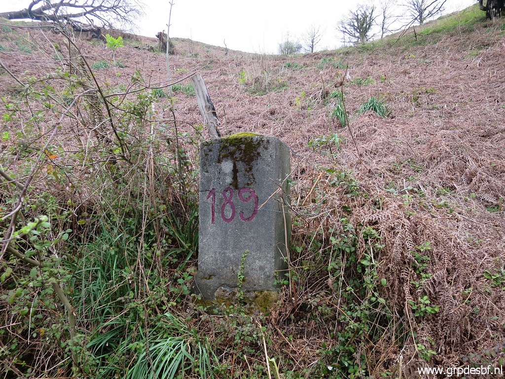 | Nevertheless it brings me to bm189. (click photo to enlarge) |
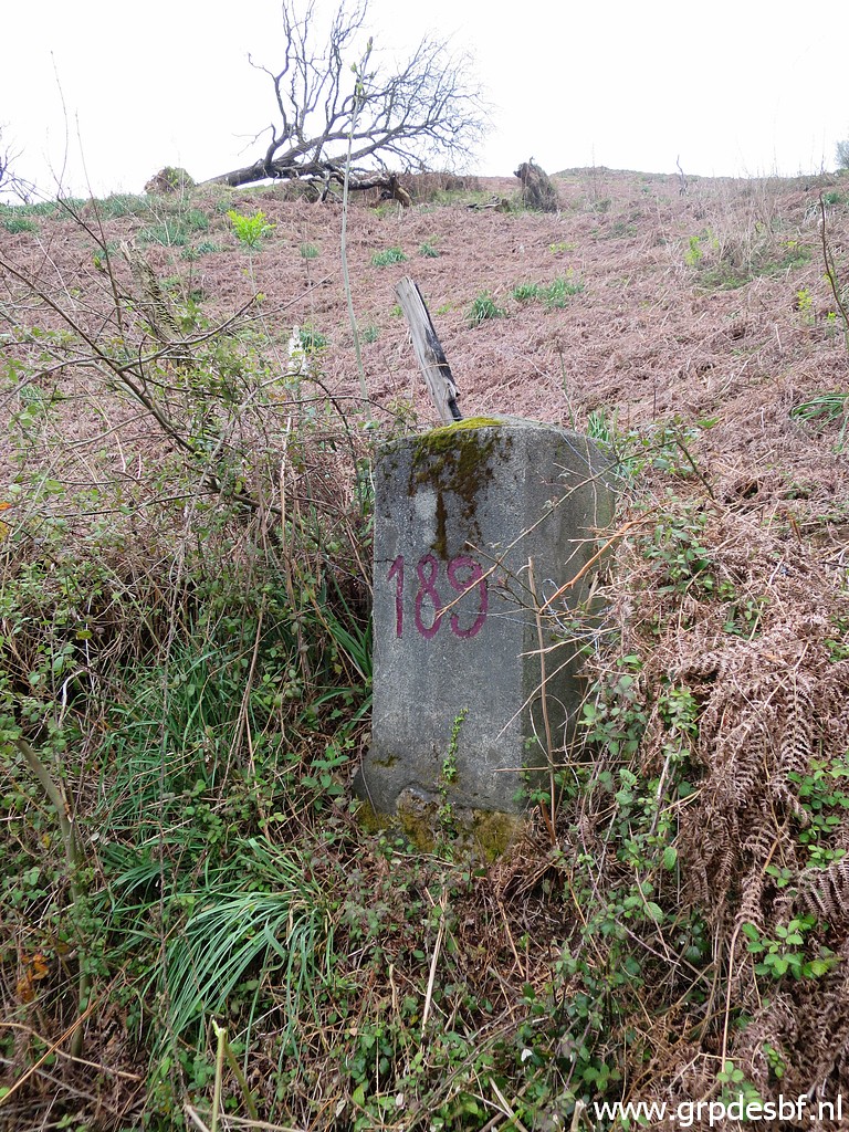 | Bm189 (click photo to enlarge) |
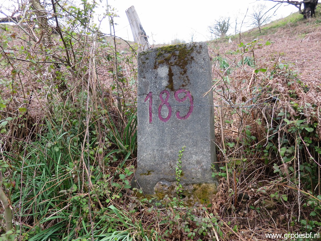 | Bm189 (click photo to enlarge) |
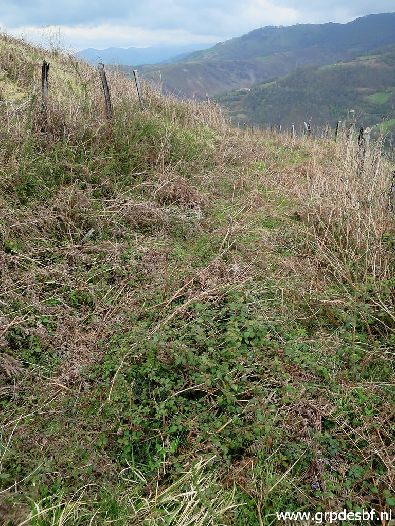
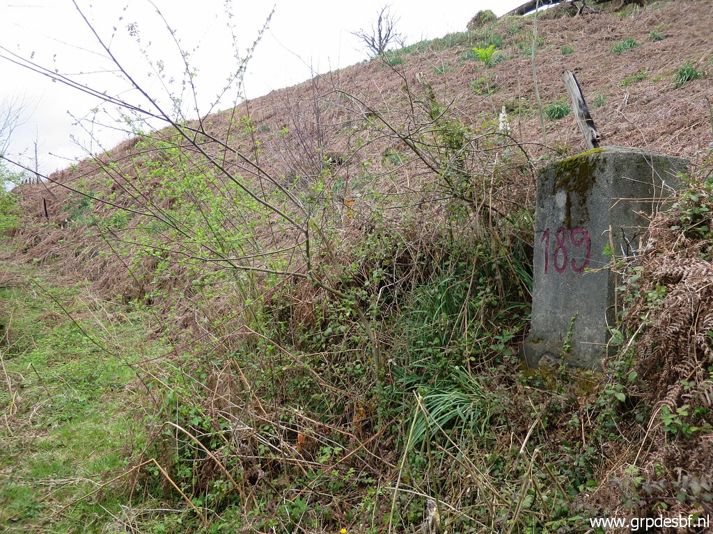 | Bm189 Beyond bm189, that old trail gets too overgrown, it will be even worse in summertime. (click photo to enlarge) |
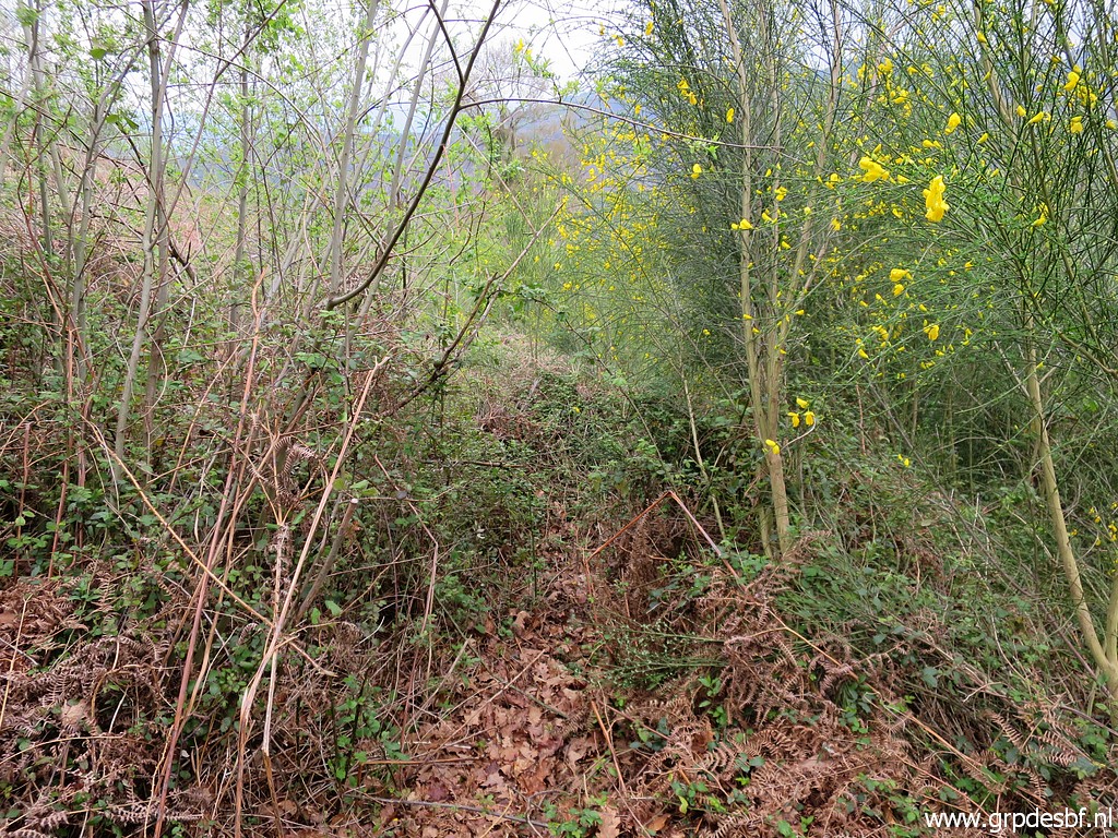 | So I leave the trail and enter the meadow to the left (click photo to enlarge) |
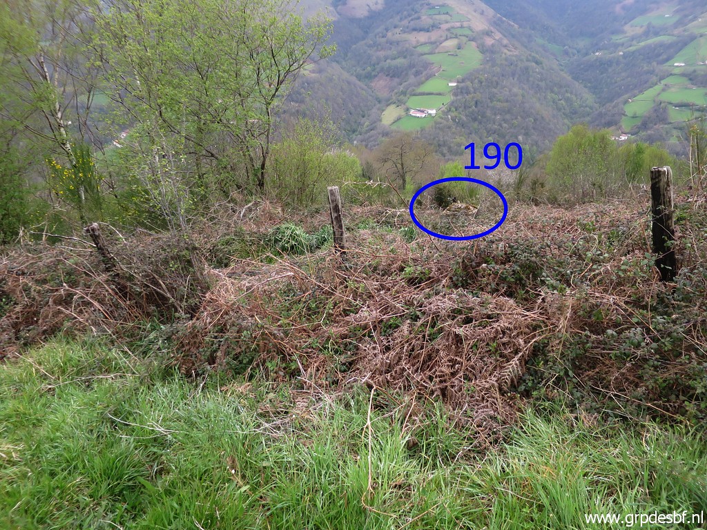 | and continue until I spot bm190. (click photo to enlarge) |
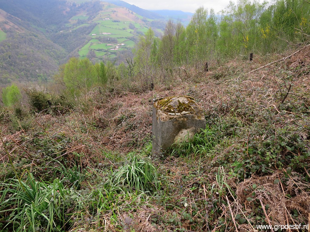 | Bm190 (click photo to enlarge) |
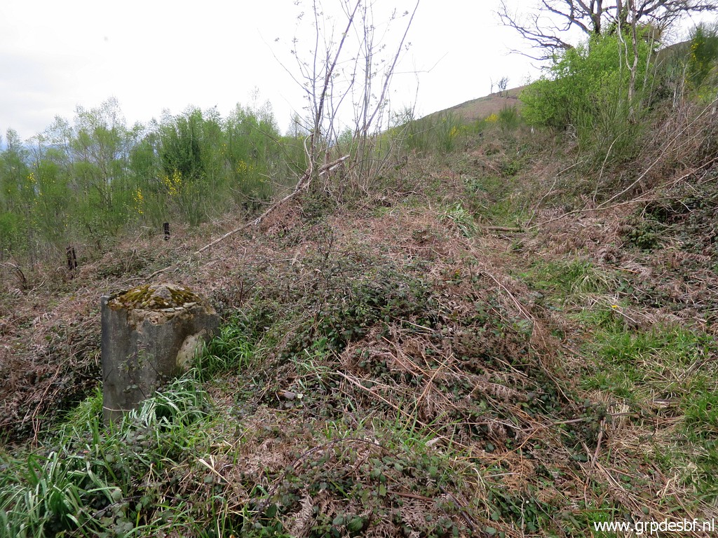 | Bm190 (click photo to enlarge) |
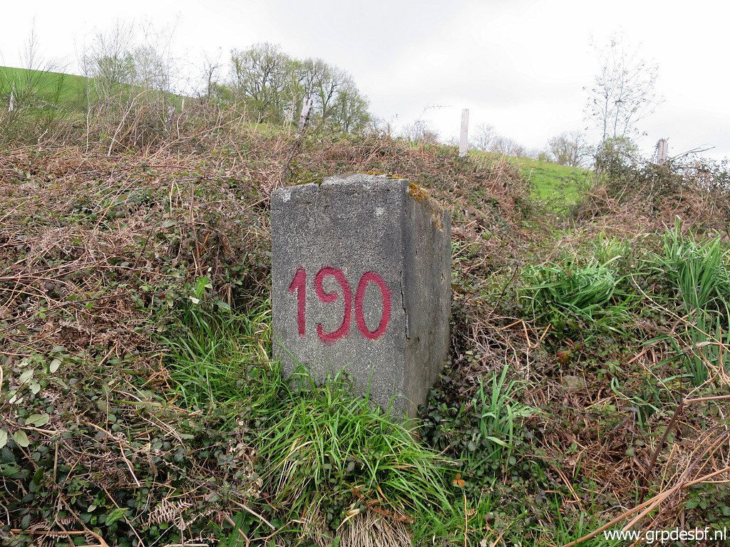 | Bm190 (click photo to enlarge) |
 | Bm190 (click photo to enlarge) |
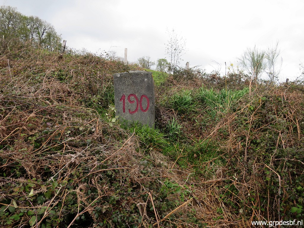
 | Bm190. As you can see, there is a vague trail just above bm190. I will try that tomorrow because now time is running out. (click photo to enlarge) |
 | Through the meadows, I find my way back to the tarmac road. Along the road back to my car. At night: dinner with Carlos & Conchita. (click photo to enlarge) |