|
The
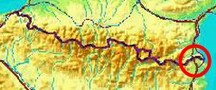
bordermarkers of the Pyrenees : all my trips
 |
|
| -
friday 14 april
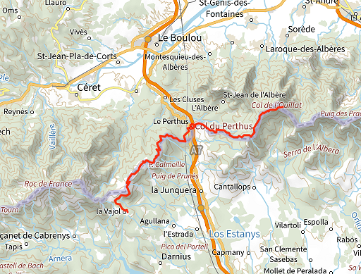
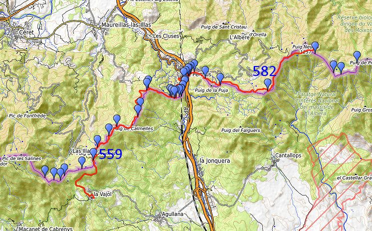
2023 - Trekking bm559-600 -> day 1: 559-566 & 577-582 |
 |
 |
Summary:
part of a series of 5 daytrips and one 3-days backpacking trip in april
2023. This is day 4 and the first day of the 3-days hike from bm559 to 600. Most of these markers I have done at least 10 years ago and that is the reason to do them again. Today: a long and tiring walk from bm559 to 582 while skipping markers near and in Le Perthus to save time. Weather: mainly overcast. |
 track-20230414.gpx
This gpx-track has not been manually corrected which explains the inaccuracy and misalignment at some points. The original elevation recording has been replaced by more accurate DEM-data with Gpsvisualizer.com. For cartographic backgrounds: see the cartography-page Gps-waypoints of all bordermarkers (most recent version): kml: esfr-bordermarkers-all-waypoints.kml gpx: esfr-bordermarkers-all-waypoints.gpx (with reliable elevation data added by gpsvisualizer.com) |
|
 |
According to Garmin
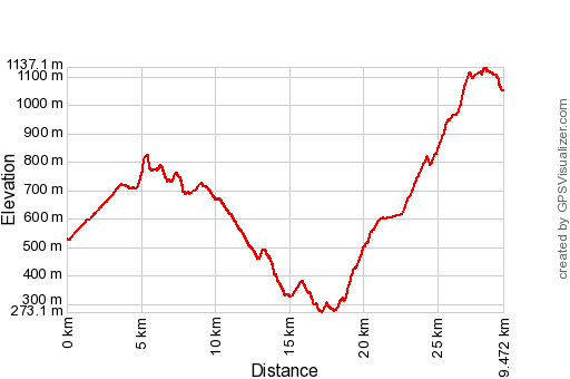
Basecamp (uncorrected track with elevation added by Gpsvisualizer.com): Distance: 29,5 km Max-height: 1137m Min-height: 273m Elevation: +1547m -1023m Total elevation: 2570m Start 8:54 Finish 18:59 Total time: 10:06 |
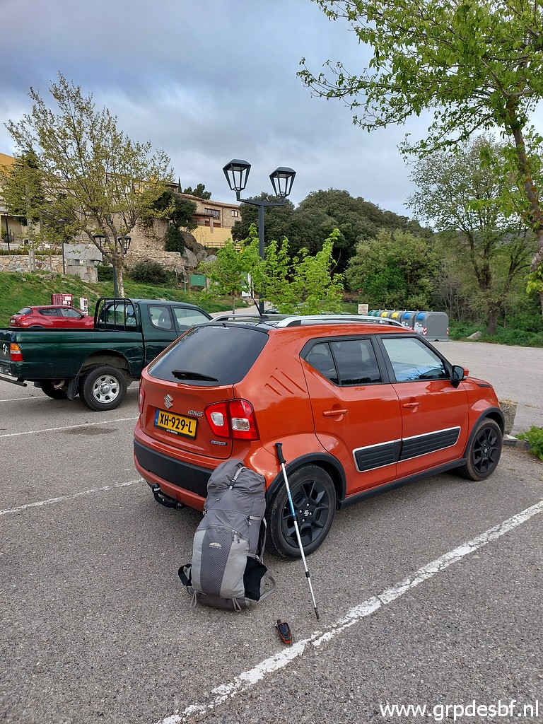 | Early start in La Vajol, leaving my car here. The previous day I had a day of rest at camping Albera in Capmany. (click photo to enlarge) |
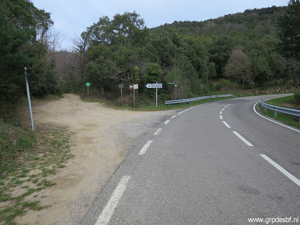 | From Vajol taking the excellent road to (click photo to enlarge) |
 | Coll de Manrella on the esfr-border where the tarmac road ..... ends. (click photo to enlarge) |
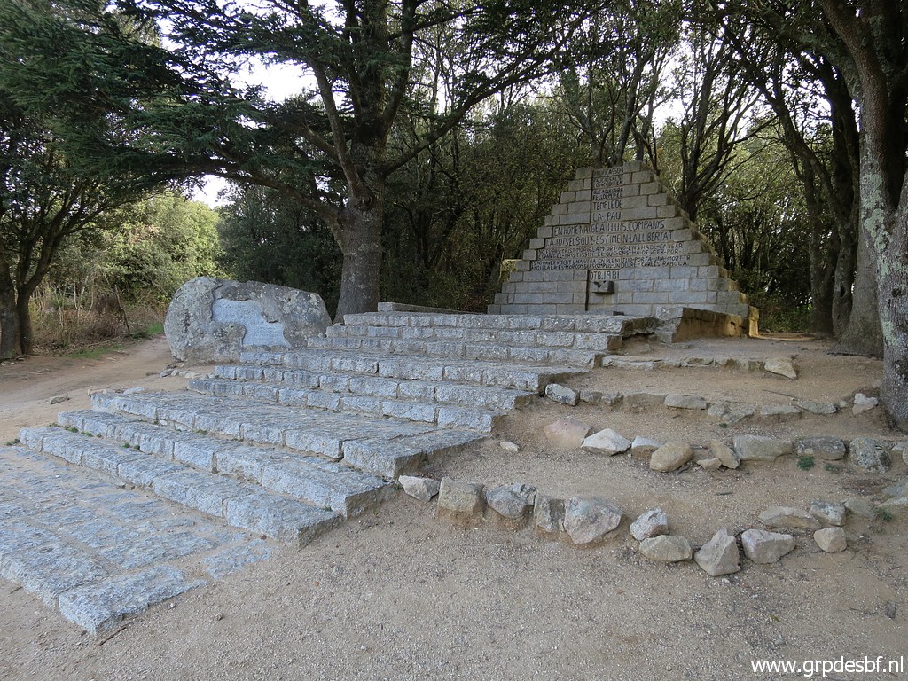 | There is a monument to remember Spanish refugees from the Spanish civil war. (click photo to enlarge) There has been in the past a 'dispute' if this monument was on French or Spanish territory. But the latest borderline on both French and Spanish maps, positions the monument at Spanish soil. |
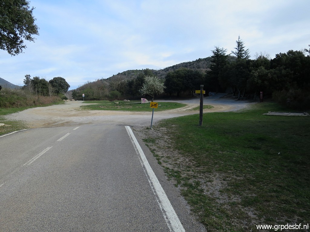
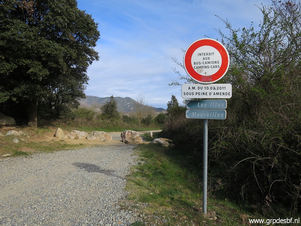 | The road is blocked into France but locals use a forest-track to bypass these boulders. (click photo to enlarge) |
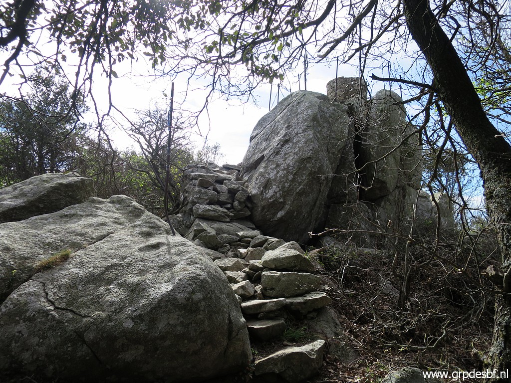
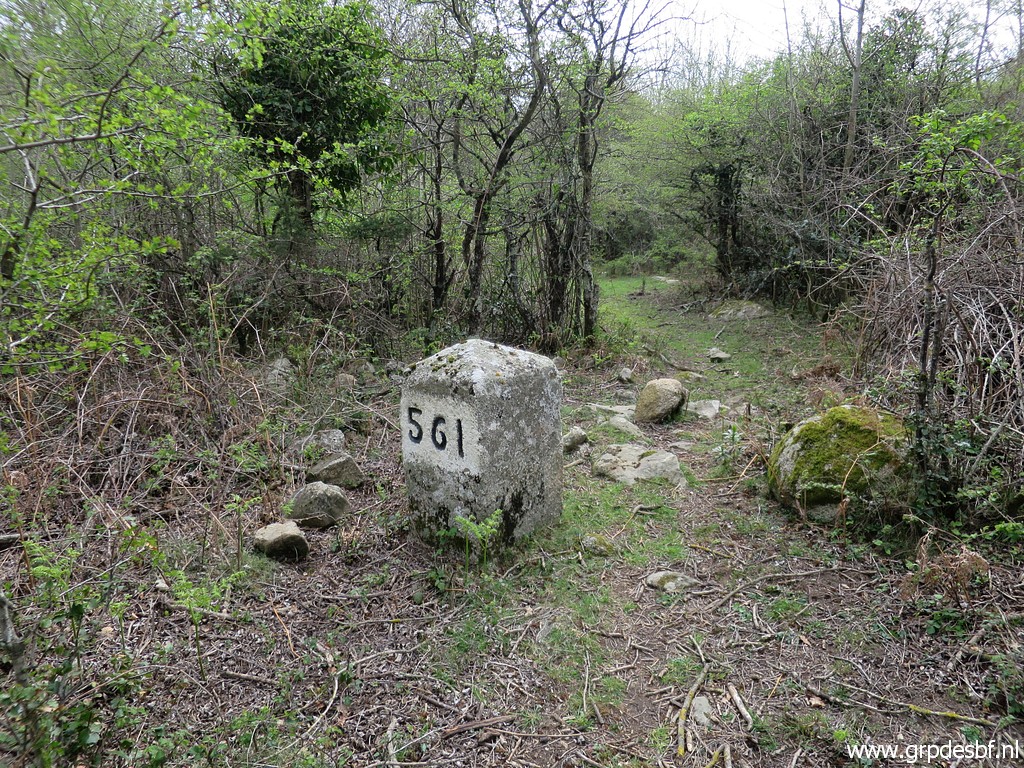
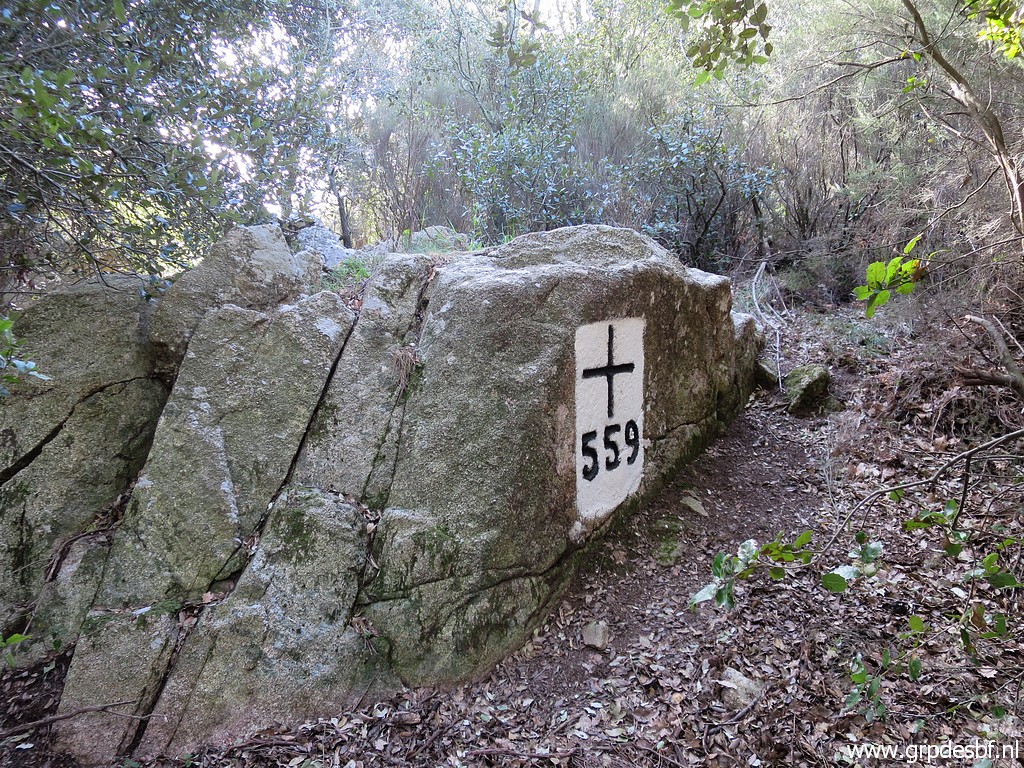 | The first bordermarker of the day: bm559. (click photo to enlarge) |
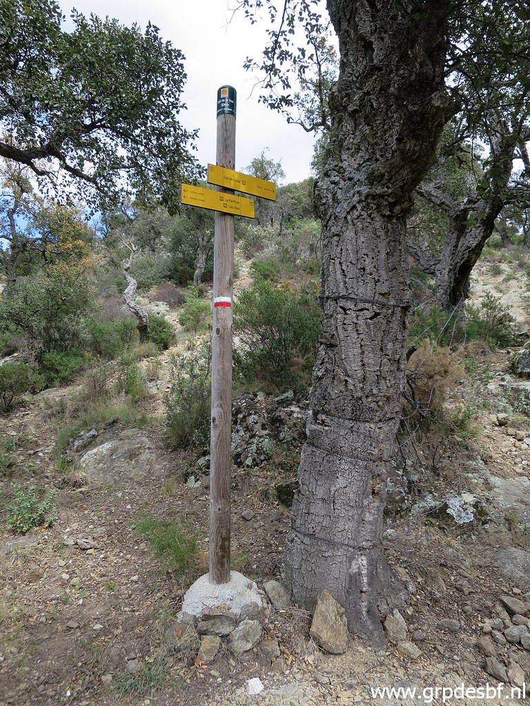
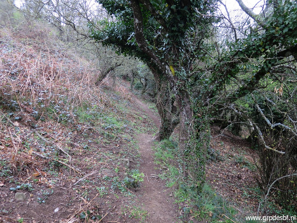
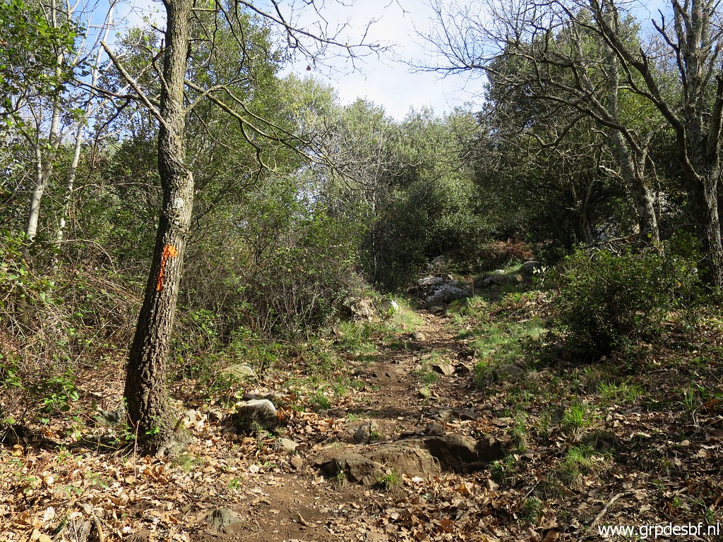 | And then I follow mainly an orange waymarked route while keeping a close eye on the GRPdesBF-route on my smartphone. Without such a help, wayfinding is not easy from bm to bm because there are many trails here. (click photo to enlarge) |
 | I pass a (click photo to enlarge) |
 | a viewpoint (click photo to enlarge) |
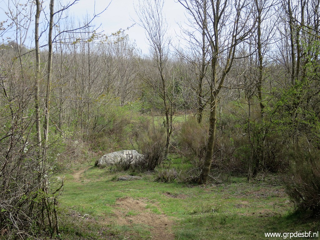 | and descend (click photo to enlarge) |
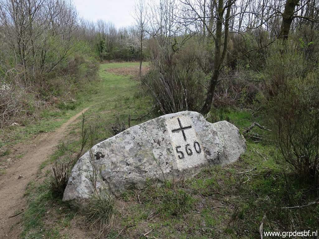 | to bm560. (click photo to enlarge) |
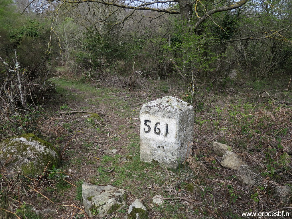
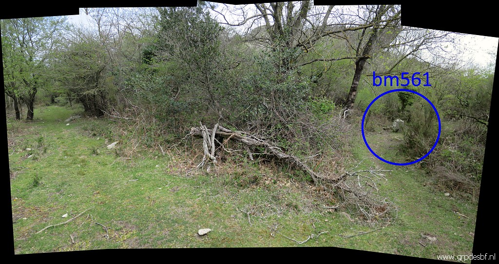 | Later on, bm561 is a bit hidden from the trail. (click photo to enlarge) |
 | Bm561 (click photo to enlarge) |
 | Bm561 (click photo to enlarge) |
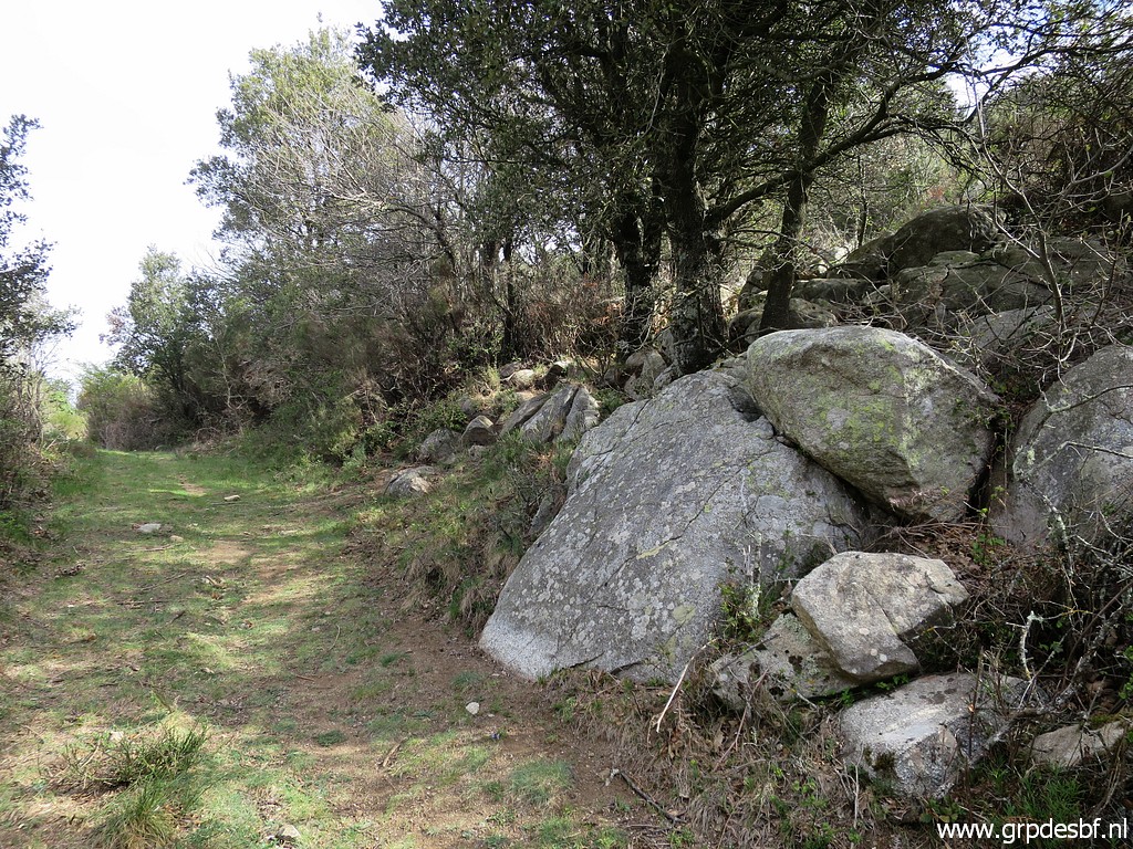
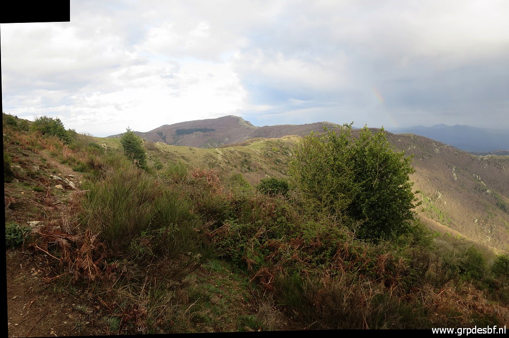
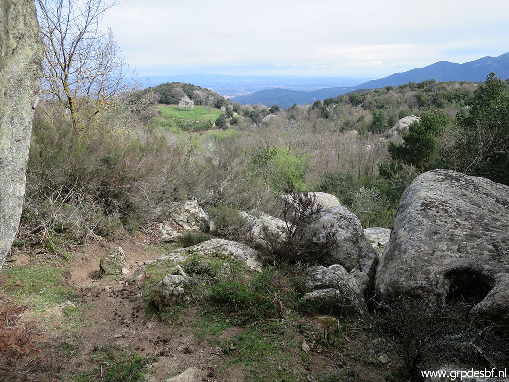 | I continue on trails through the ondulating landscape (click photo to enlarge) |
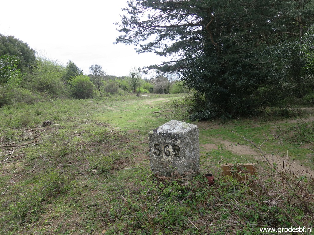
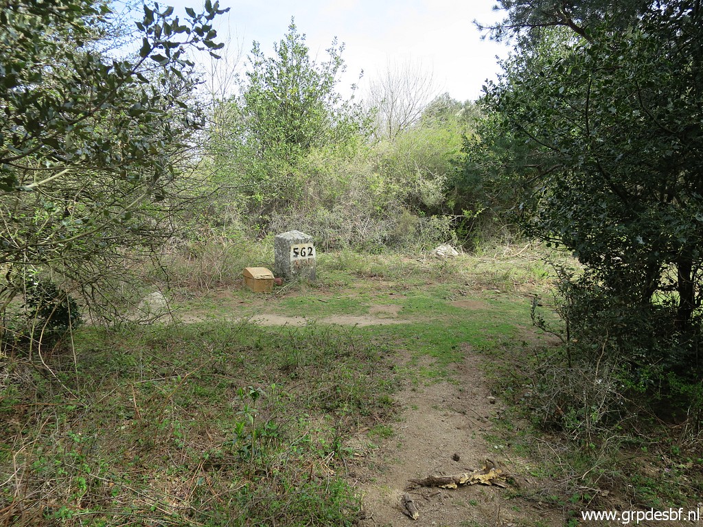 | to arrive at bm562. (click photo to enlarge) |
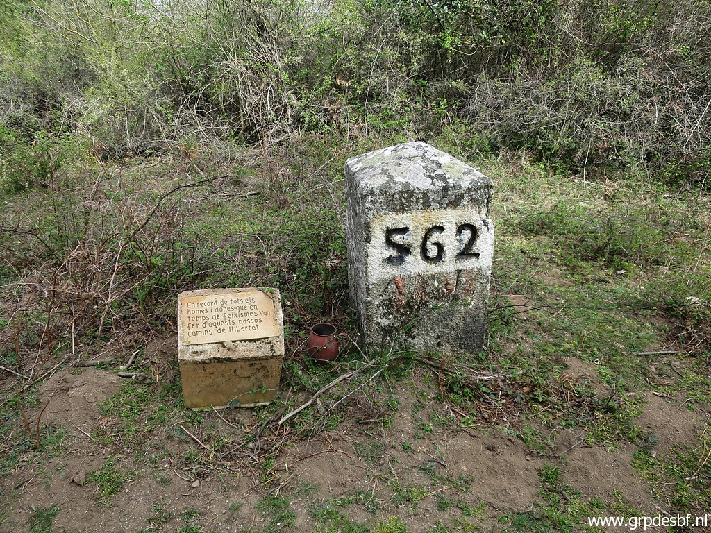 | Bm562 (click photo to enlarge) |
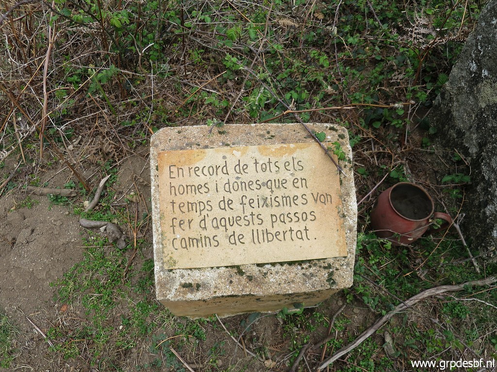 | The text says (Google translate): In memory of all the men and women who in times of fascism made these steps paths of freedom. (click photo to enlarge) |
 | Bm562 (click photo to enlarge) |
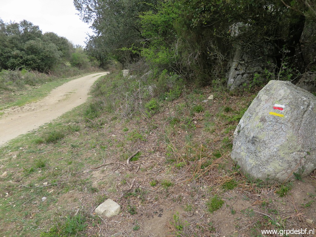 | Now I can pick up the GR10-trail. (click photo to enlarge) |
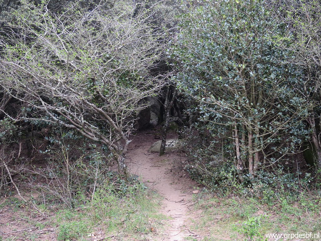 | Bm563, also a bit hidden from the road. (click photo to enlarge) |
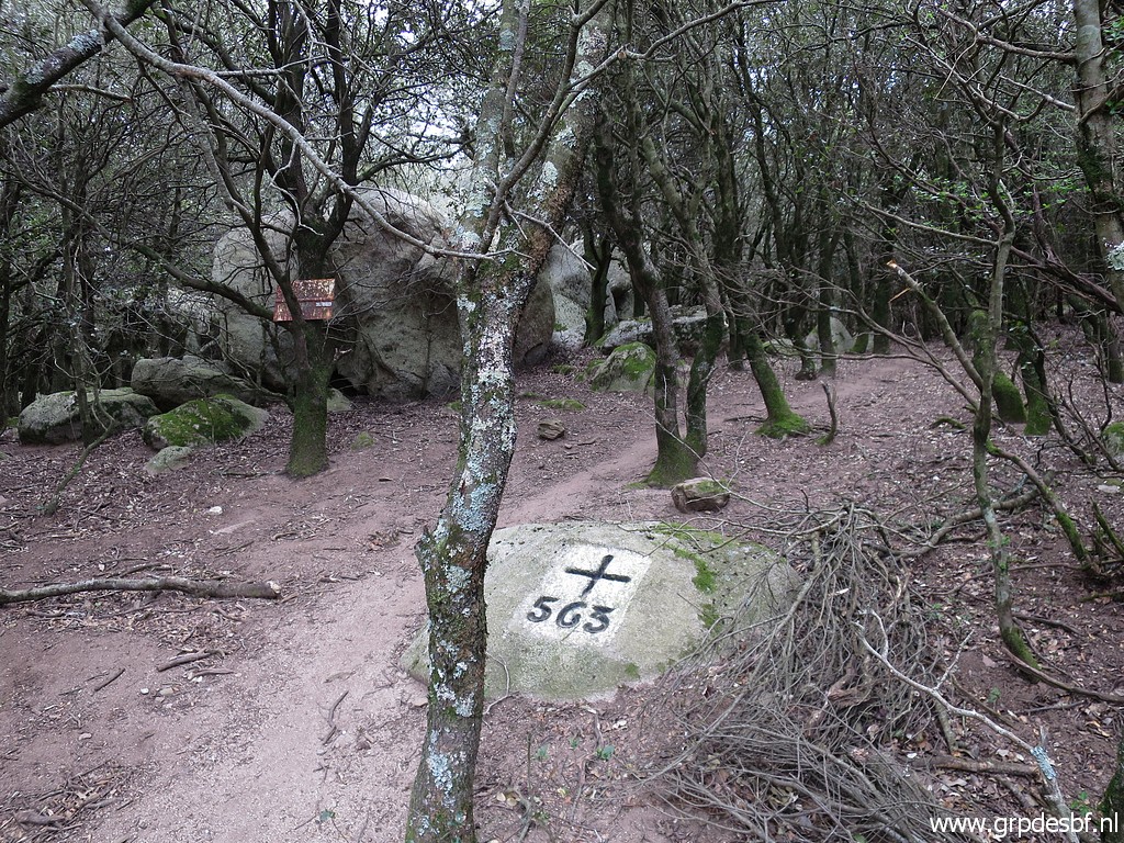 | Bm563 (click photo to enlarge) |
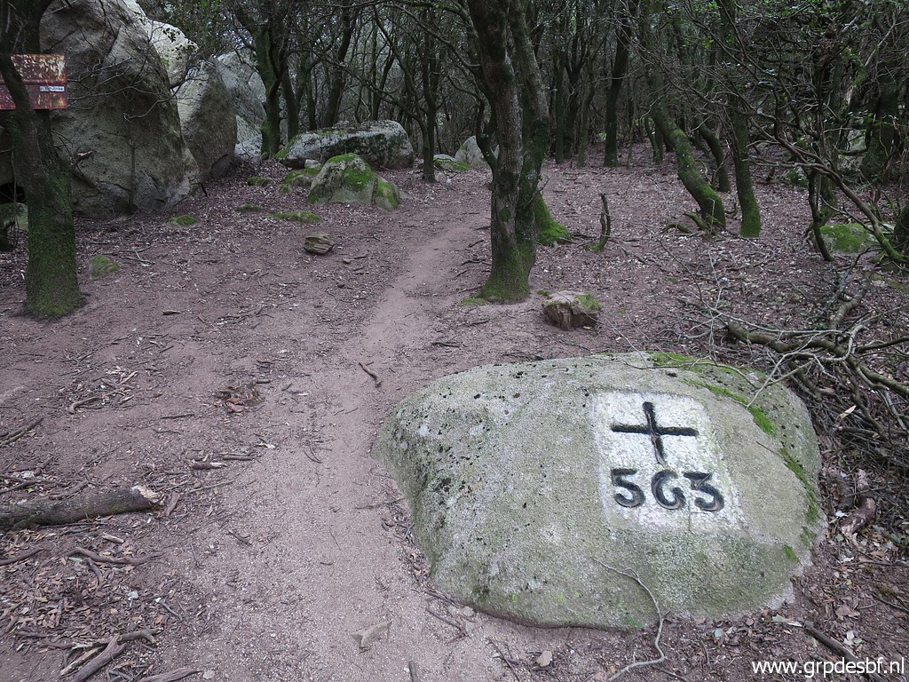 | Bm563 (click photo to enlarge) |
 | Continuing on the dirtroad until (click photo to enlarge) |
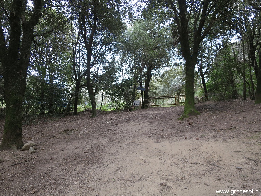
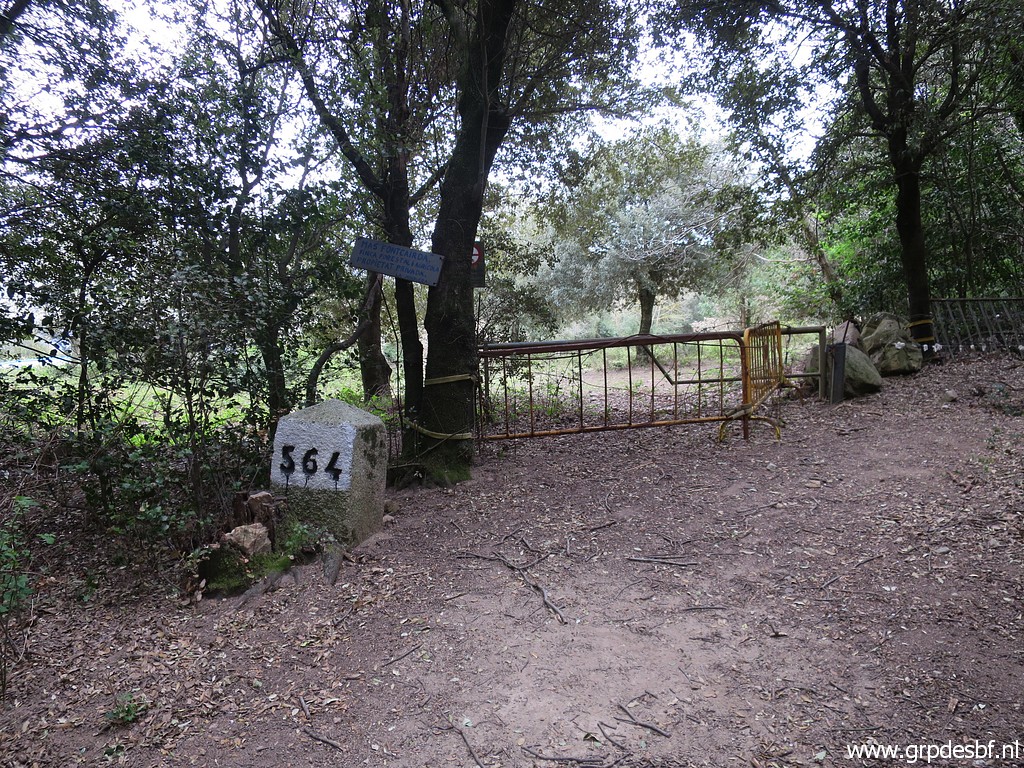 | bm564. (click photo to enlarge) |
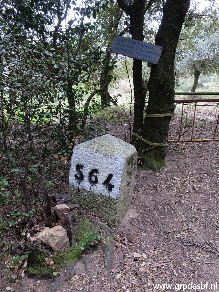 | Bm564 (click photo to enlarge) |
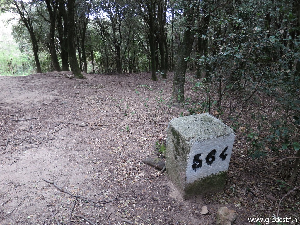 | Bm564 (click photo to enlarge) |
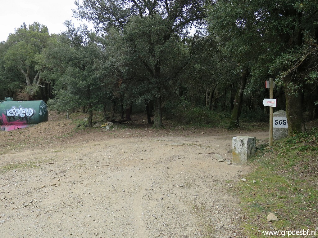 | The next one: bm565. (click photo to enlarge) |
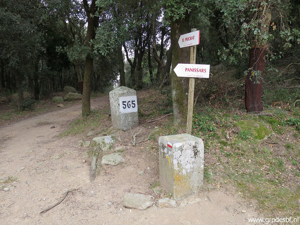 | Bm565 (click photo to enlarge) |
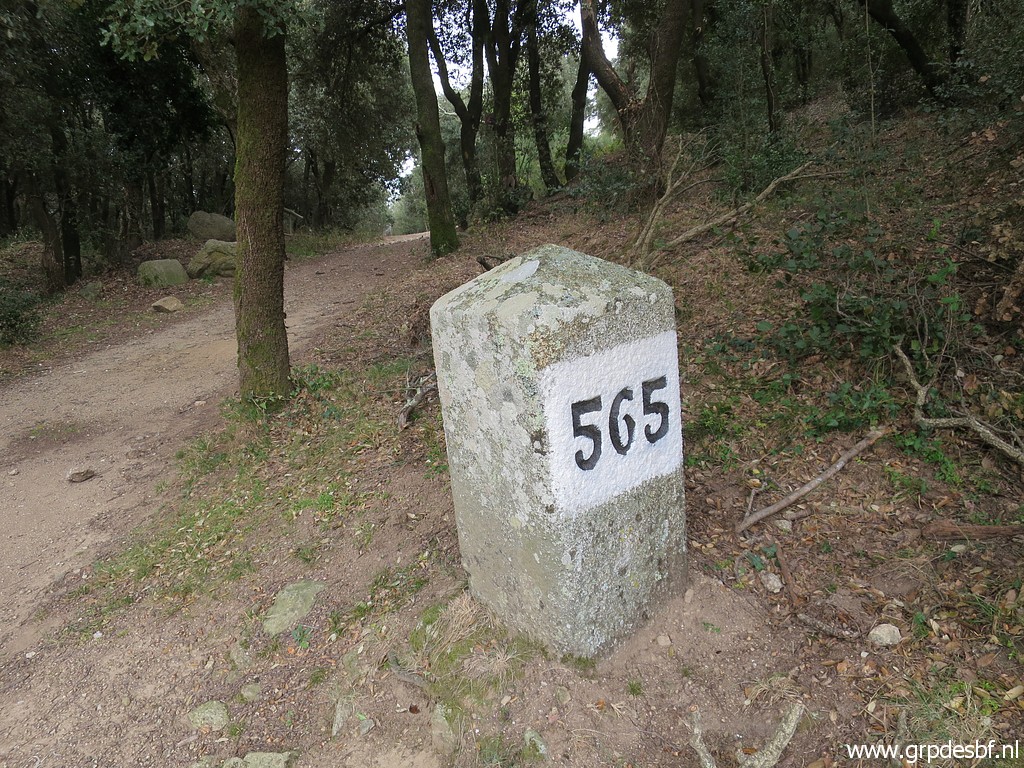 | Bm565 (click photo to enlarge) |
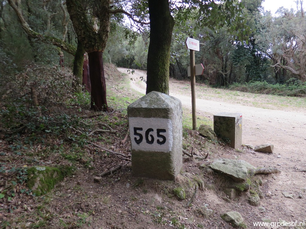 | Bm565 (click photo to enlarge) |
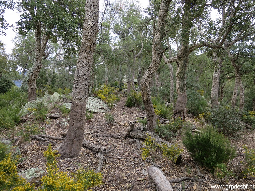
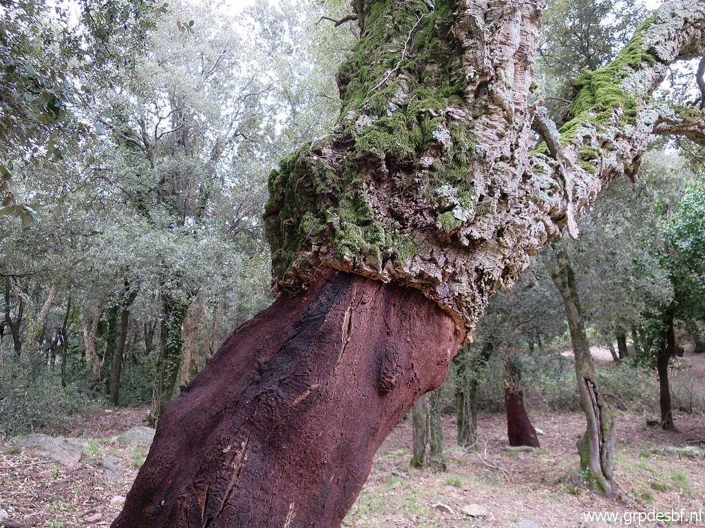 | A cork tree. (click photo to enlarge) |
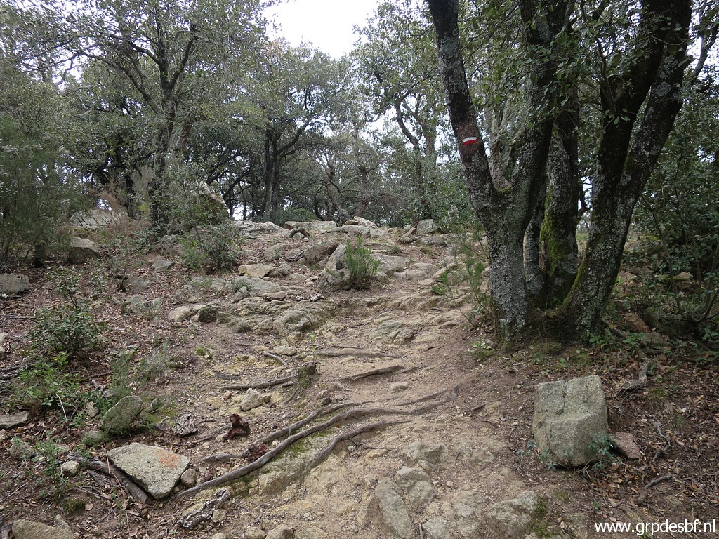 | Then there is a climb to a hilltop (click photo to enlarge) |
 | with a detour to the left to (click photo to enlarge) |
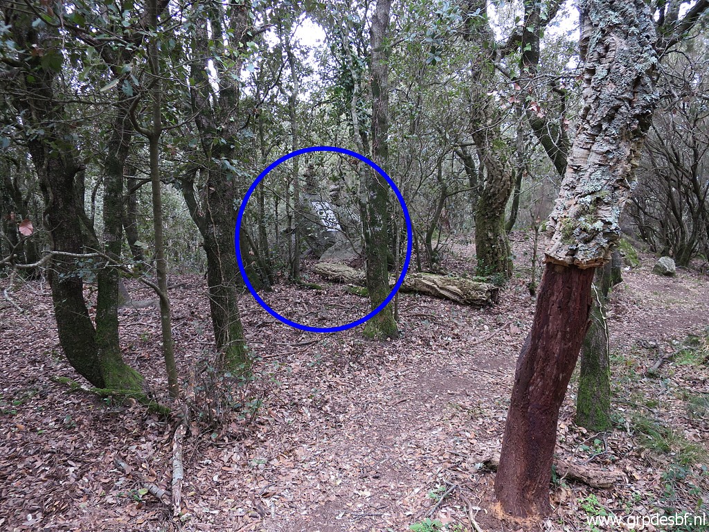
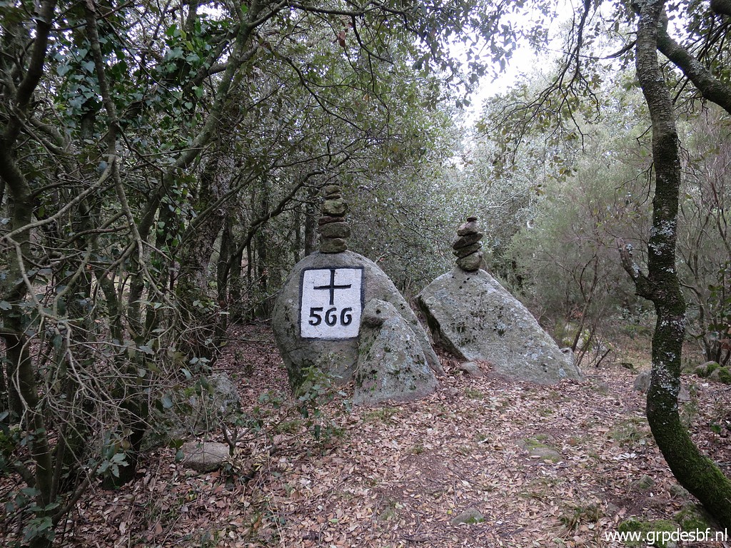 | bm566. (click photo to enlarge) |
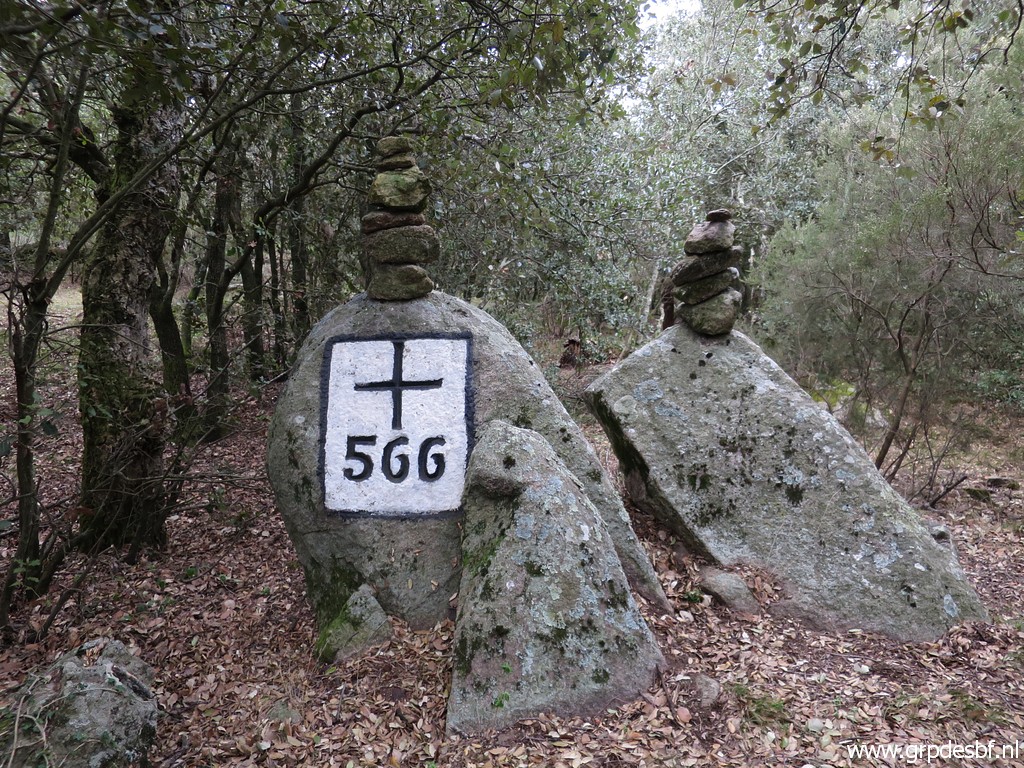 | Bm566 (click photo to enlarge) |
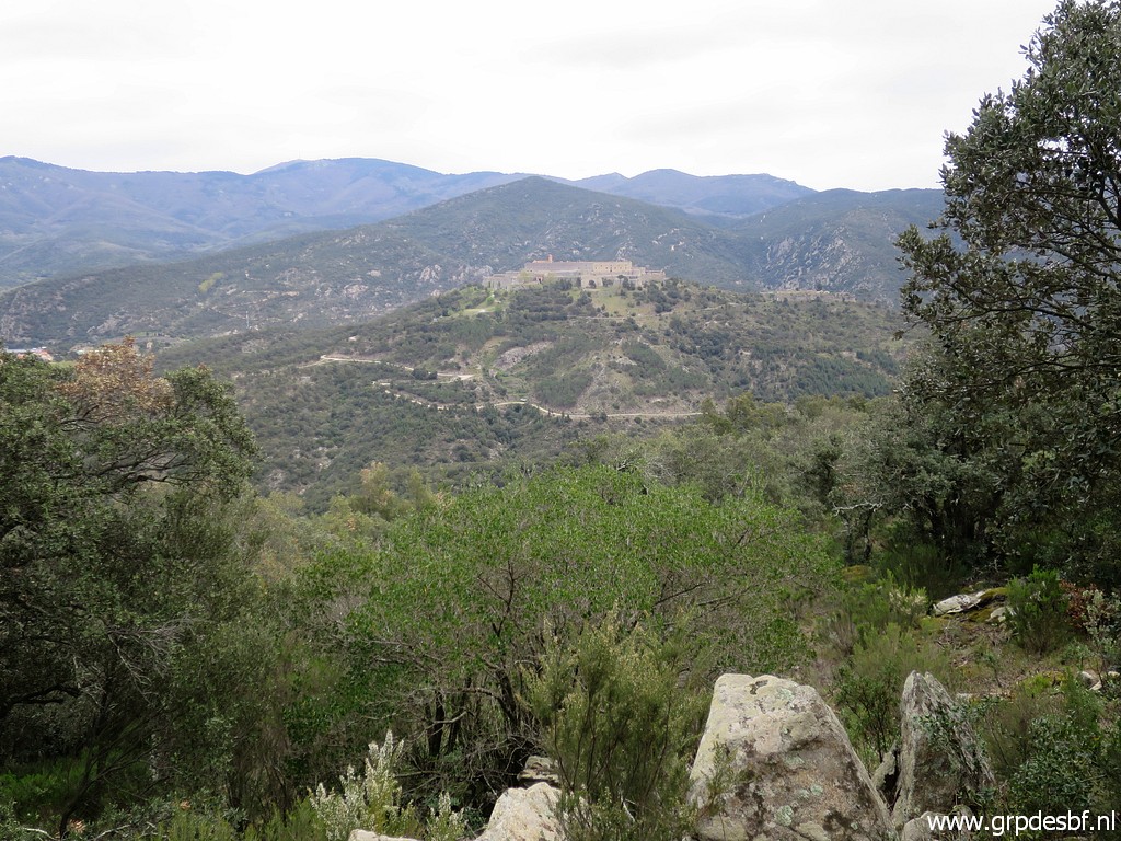 | From the hilltop descending towards Fort de Bellegarde. (click photo to enlarge) |
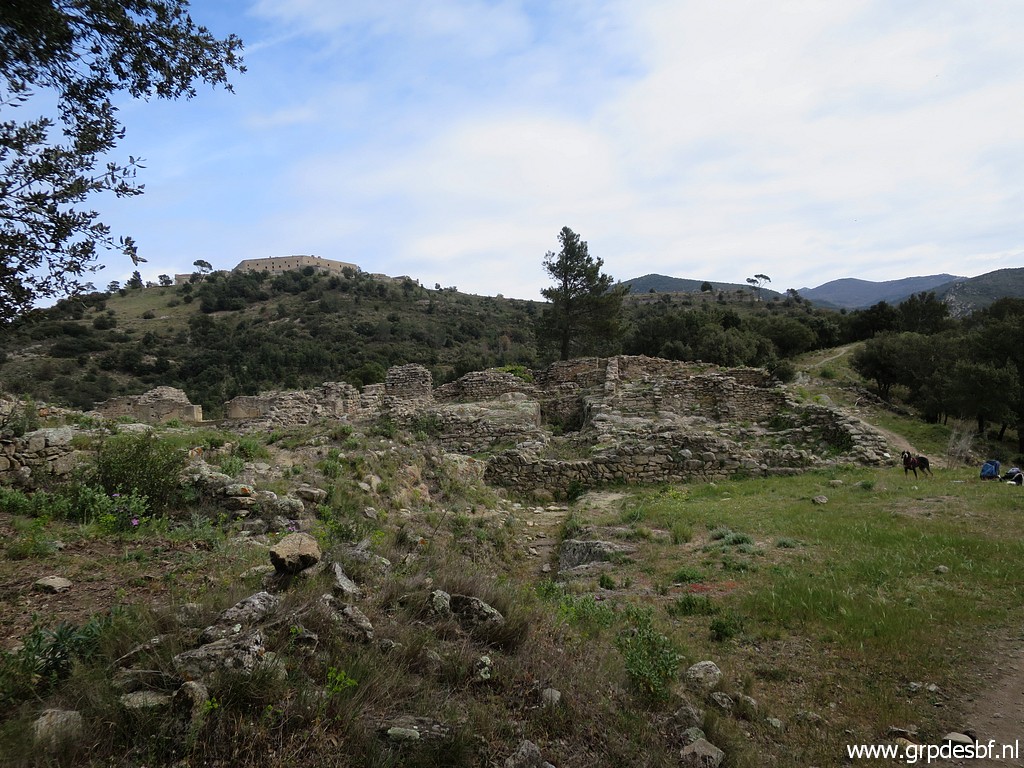 | Passing the roman ruins of Panissars where bm567 is located. I already decided to skip the bordermarkers around Fort de Bellegarde and in Le Perthuis. I have done them in recent years and time is passing swiftly. (click photo to enlarge) |
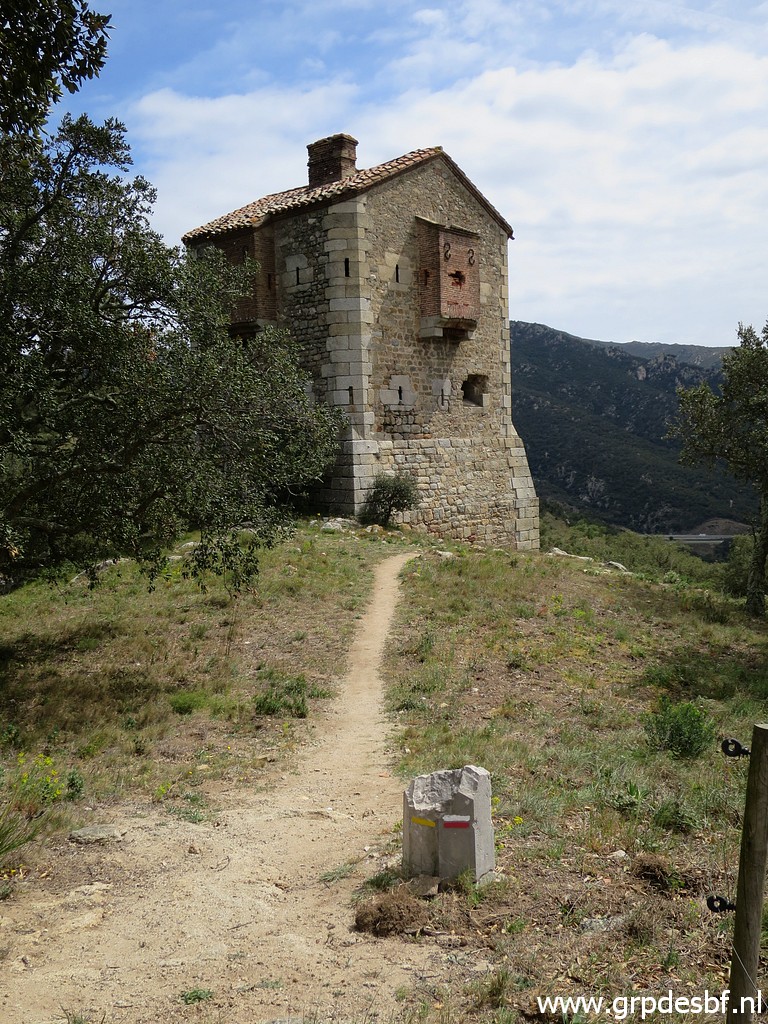 | Passing this tower, bm568 is down the hill. (click photo to enlarge) |
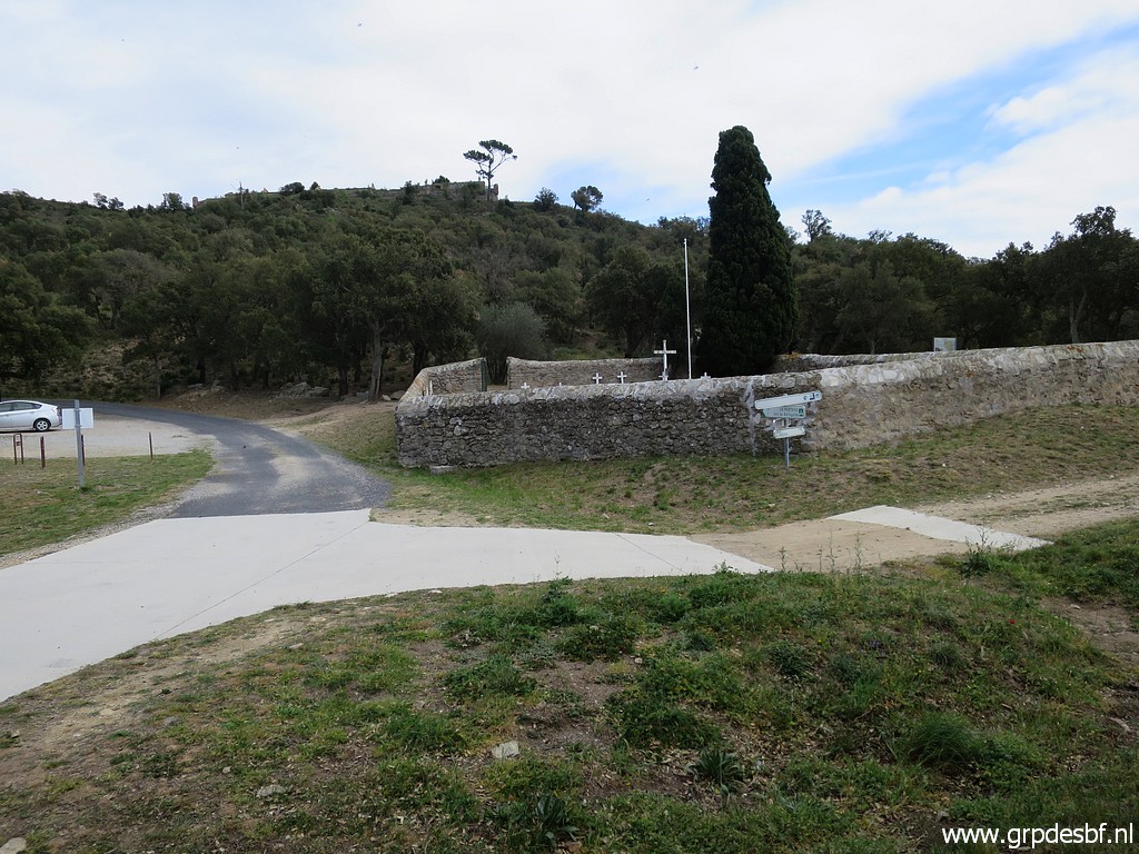 | Then along this old cemetary, bm569 is next to it but as said, I am getting a little pressed. (click photo to enlarge) |
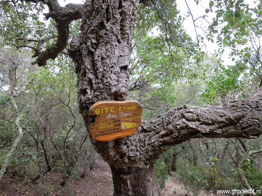 | Apparently there is now a gîte d'Étappe in Le Perthus. (click photo to enlarge) |
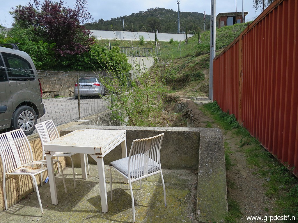
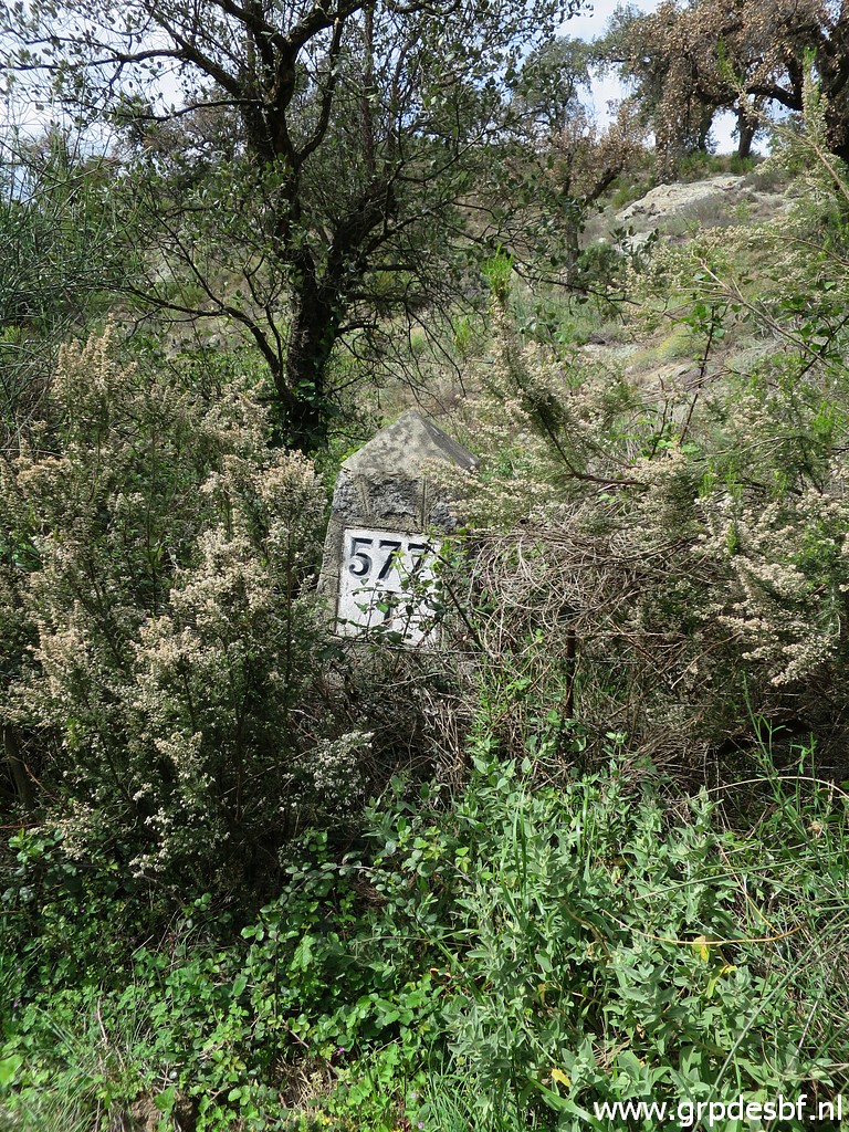
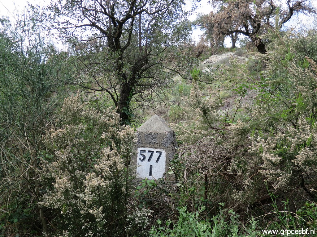
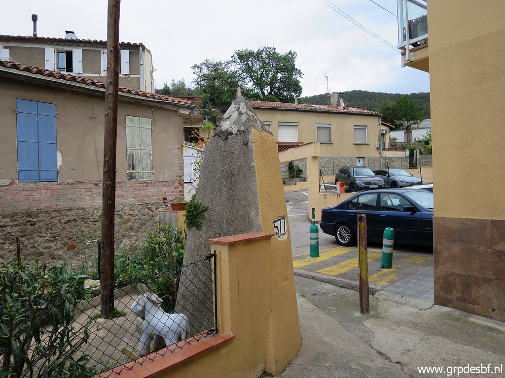 | In Le Perthus, I skip bm574-576. It's already 14:00 and still a long way to go. I buy 2l of water in a shop. This is bm577 in Le Perthus, (click photo to enlarge) |
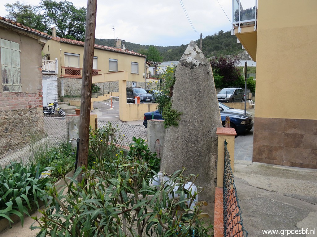 | integrated in the wall of a little flower garden including a water tap. (click photo to enlarge) |
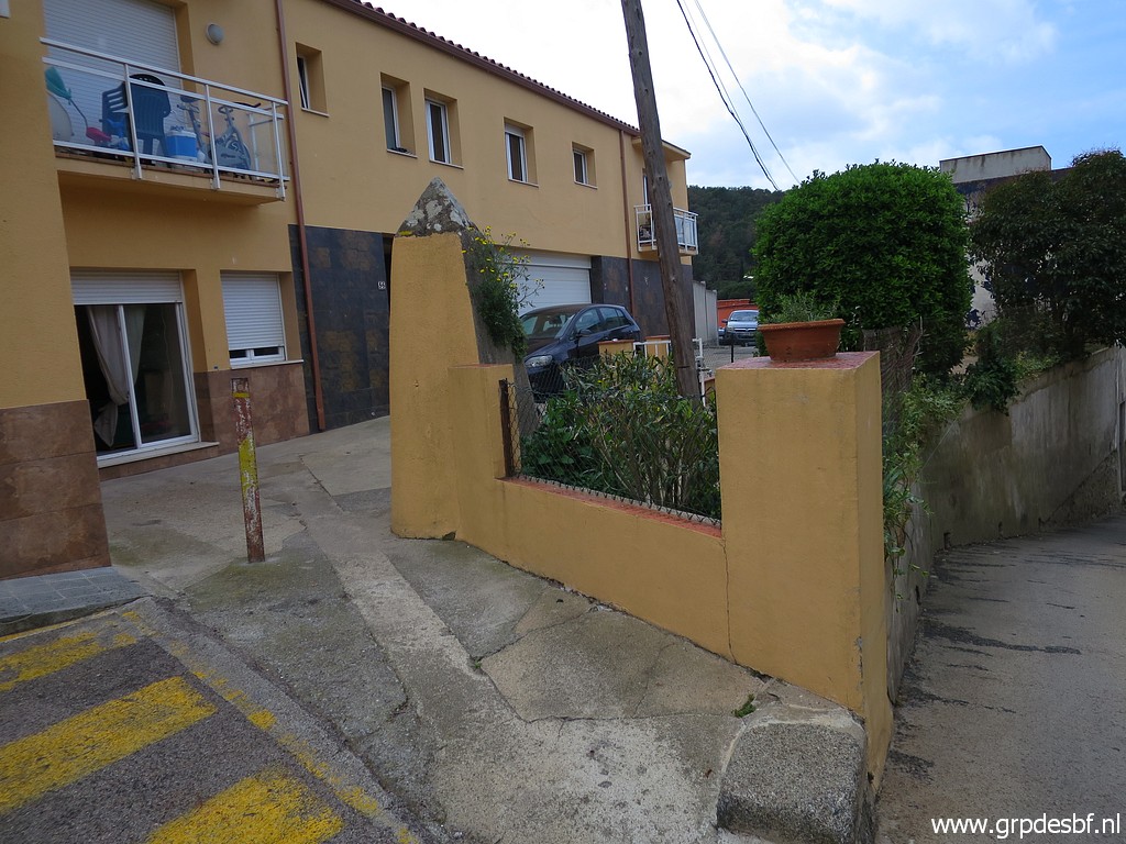 | Bm577 (click photo to enlarge) |
 | Just beyond bm577 is the tunnel underneath the A7-highway to Barcelona. (click photo to enlarge) |
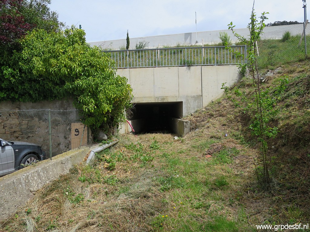 | Entrance of the tunnel. (click photo to enlarge) |
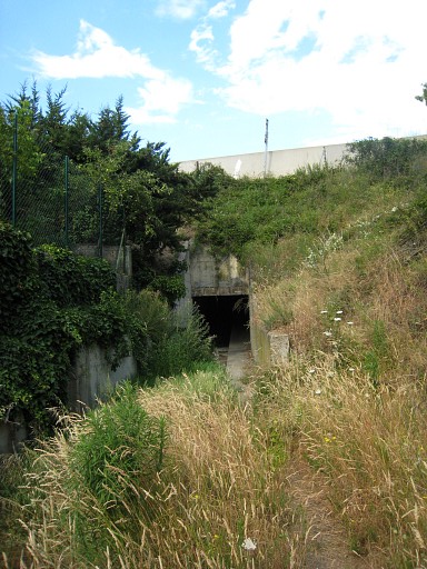 |
This is the entrance as photographed on 12-7-2010. One can spot a sort of walking strip in the tunnel. |
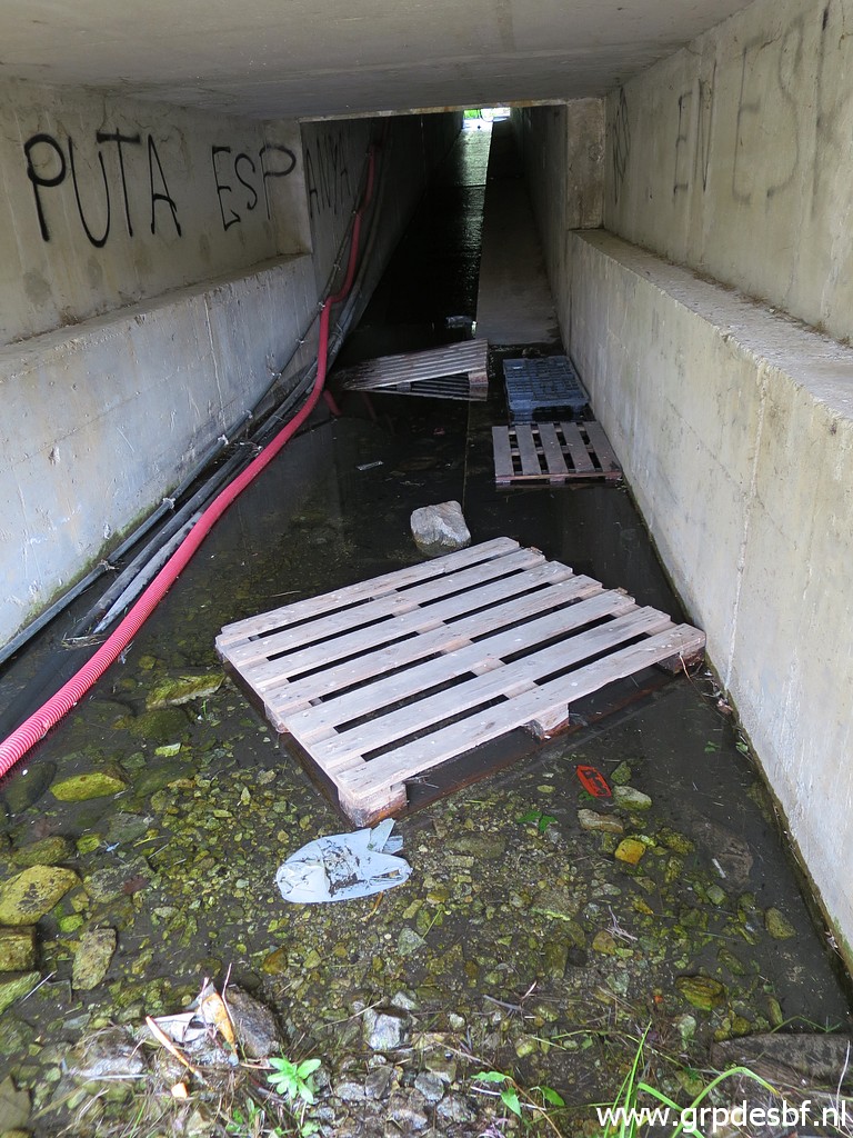 | But now no trace of that walking strip. It might be covered under the debris. What used to be an easy-to- cross tunnel, is now much less passable. (click photo to enlarge) |
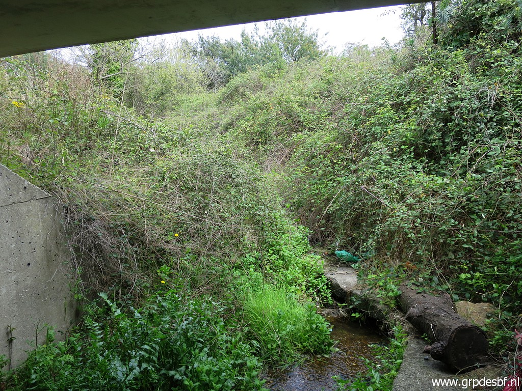 | But most of all, at the other end there is too much bush and brush to deal with to get to bm577-I and 578. (click photo to enlarge) |
 | So I return and take a detour to pass underneath a highway-viaduct (GR10-route) (click photo to enlarge) |
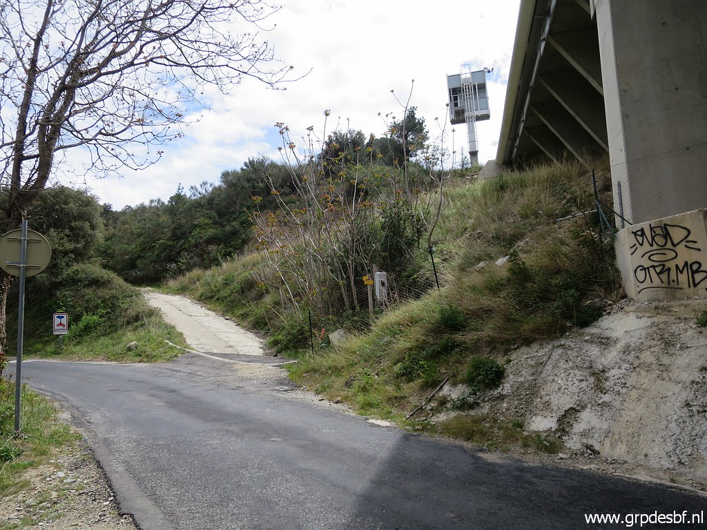 | and take the dirtroad, just beyond the viaduct. (click photo to enlarge) |
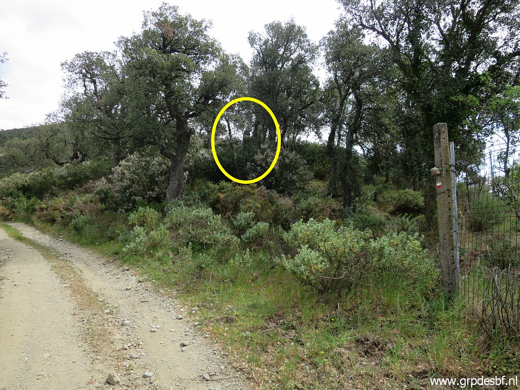 | Bm578 is soon visible on a hilltop. (click photo to enlarge) |
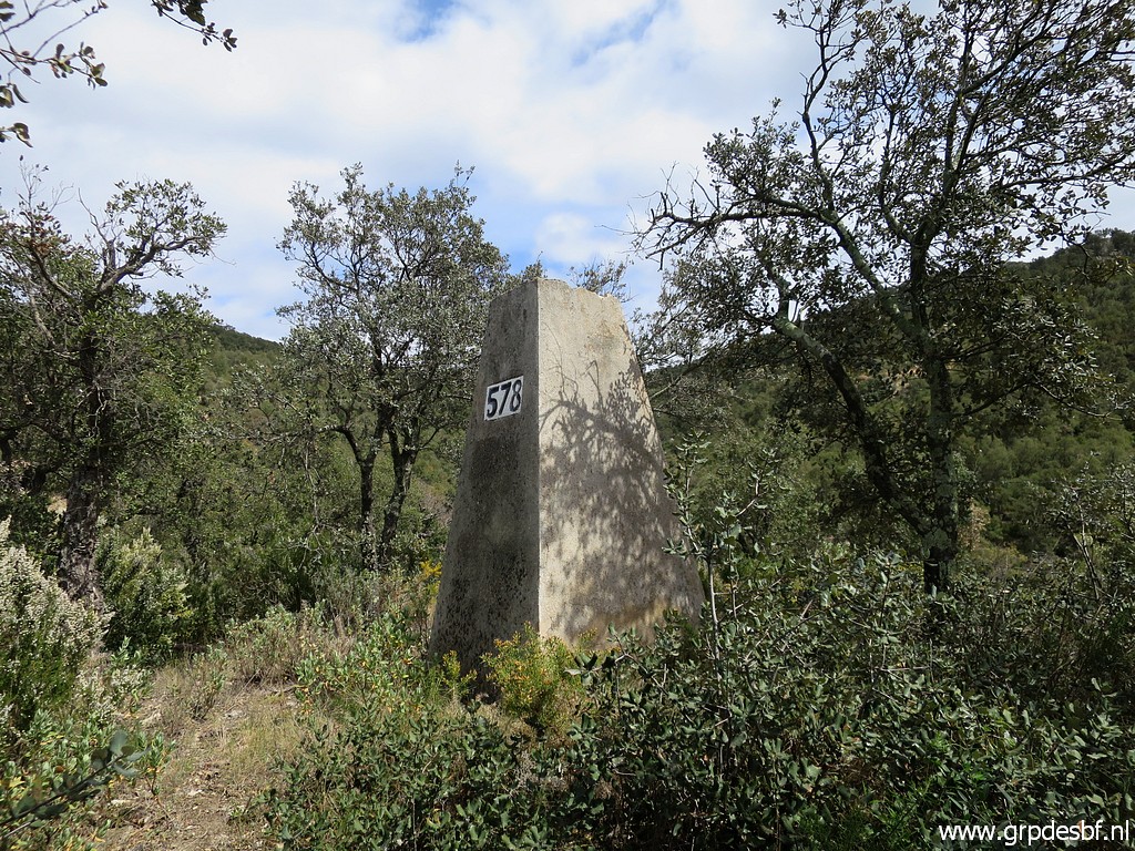 | Bm578 (click photo to enlarge) |
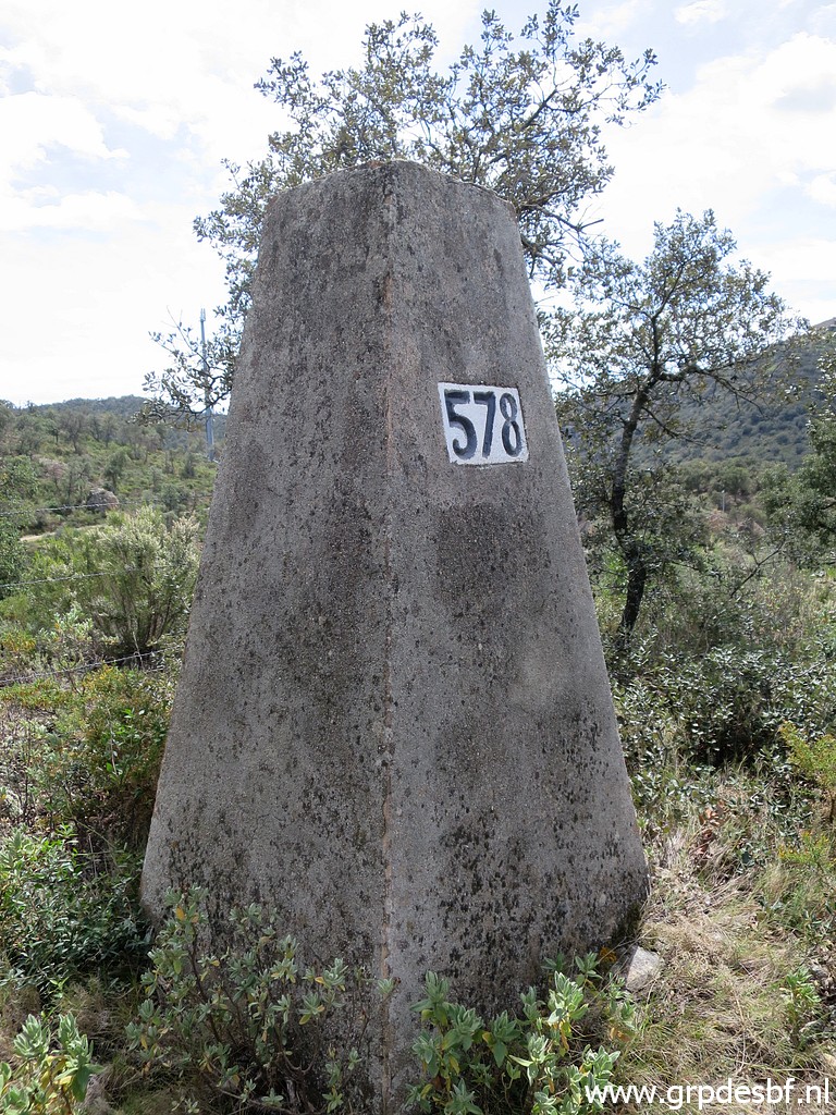 | bm578 (click photo to enlarge) |
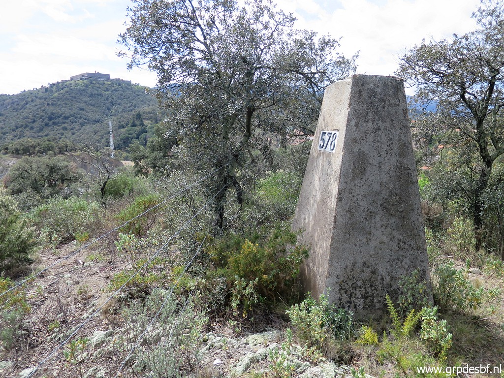 | Bm578 (click photo to enlarge) |
 | After bm578, bm577-I can be spotted from distance. (click photo to enlarge) |
 | A little detour to reach bm577-I. (click photo to enlarge) |
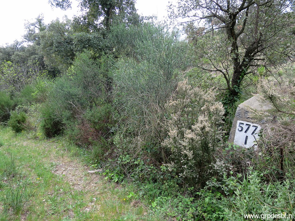 | Bm577-I (click photo to enlarge) |
 | Bm577-I (click photo to enlarge) |
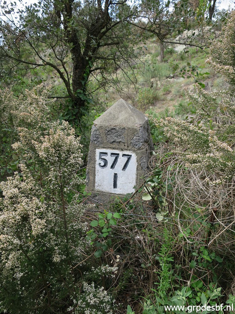 | Bm577-I (click photo to enlarge) |
 | Still cq again on the GR10-trail. (click photo to enlarge) |
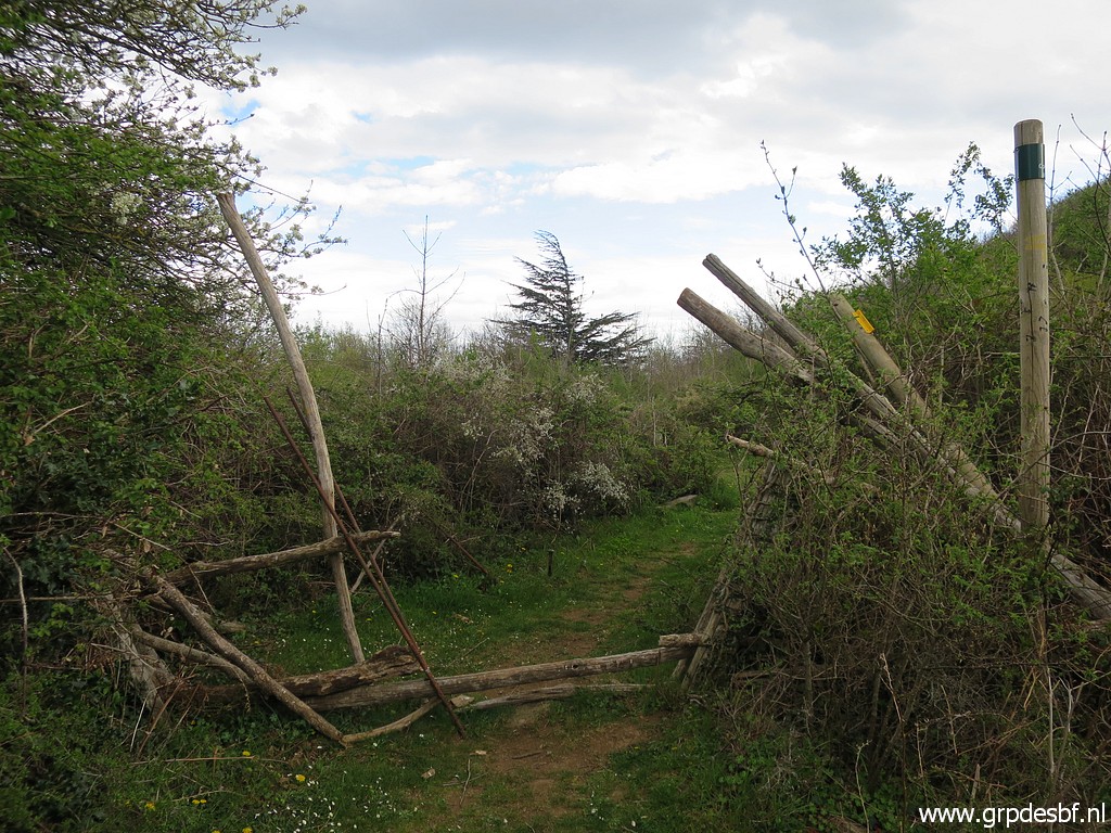
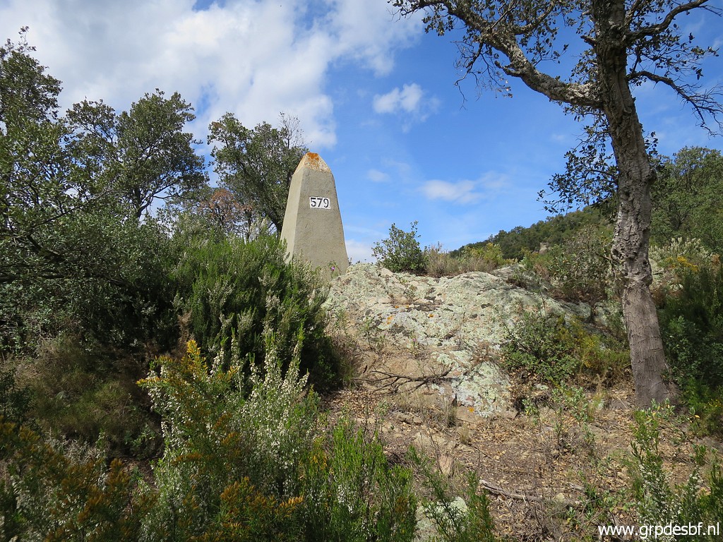 | But I have to leave the GR10-trail to pass a fence and climb to bm579. (click photo to enlarge) |
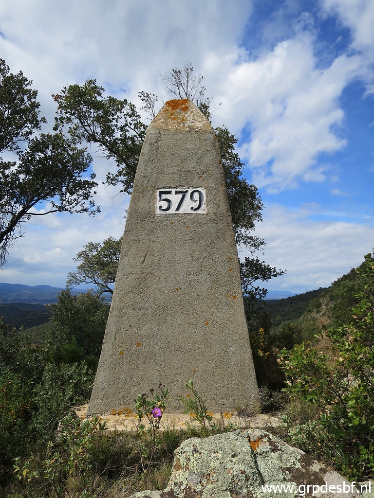 | Bm579 (click photo to enlarge) |
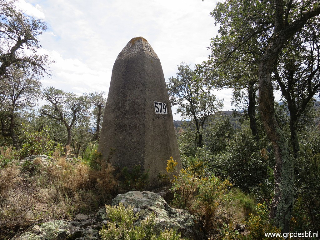 | bm579 (click photo to enlarge) |
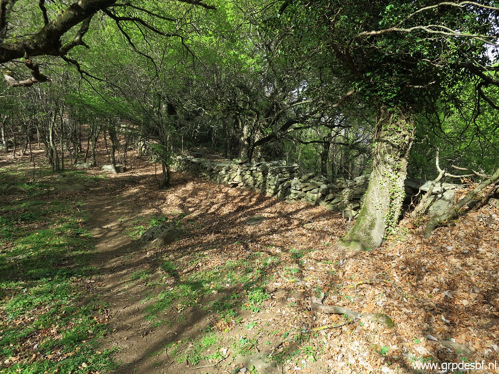
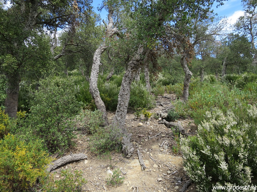 | Then it's continuing through the forest and (click photo to enlarge) |
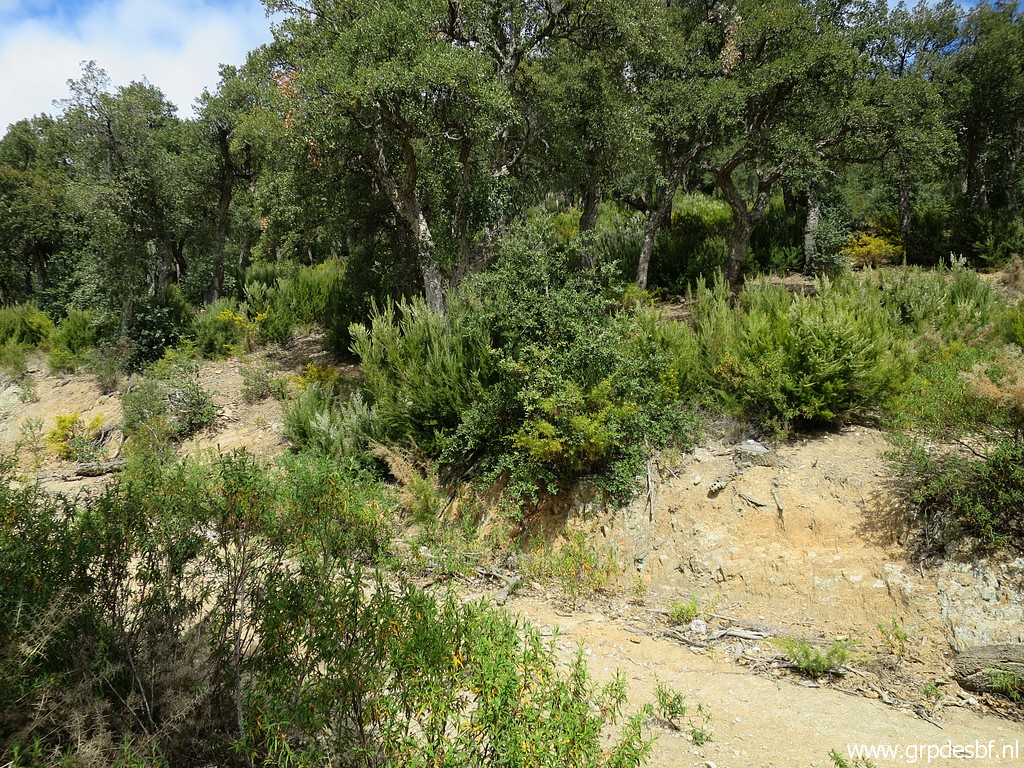 | crossing a dirtroad (click photo to enlarge) |
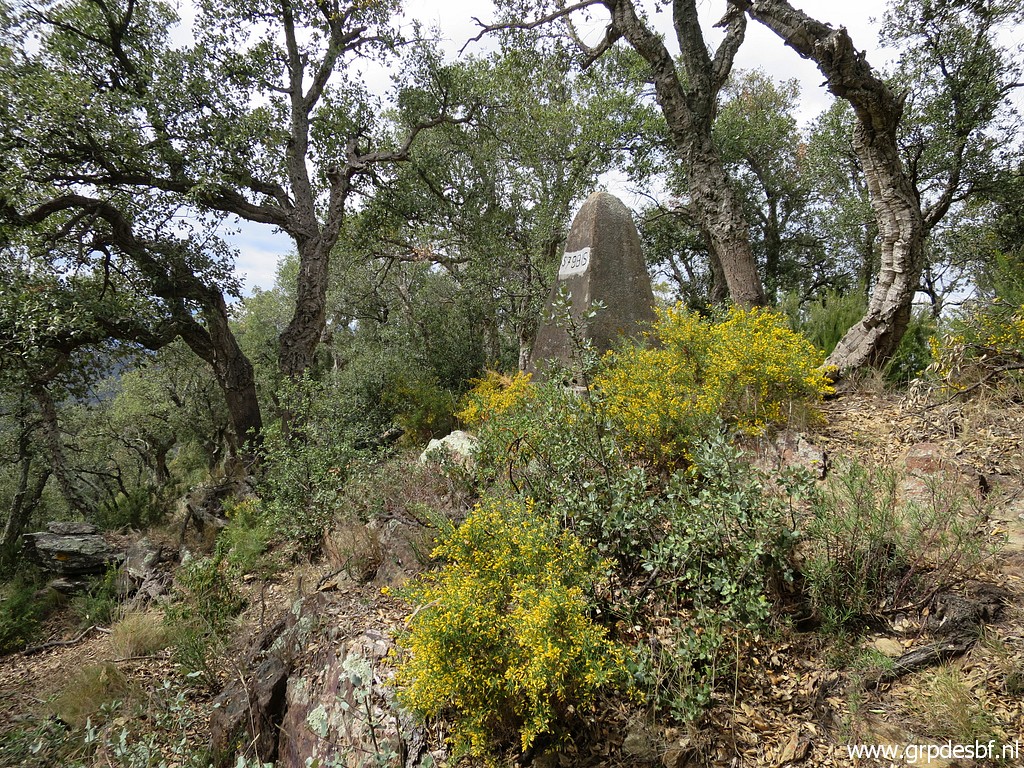 | and climbing through the bush to bm579bis. (click photo to enlarge) |
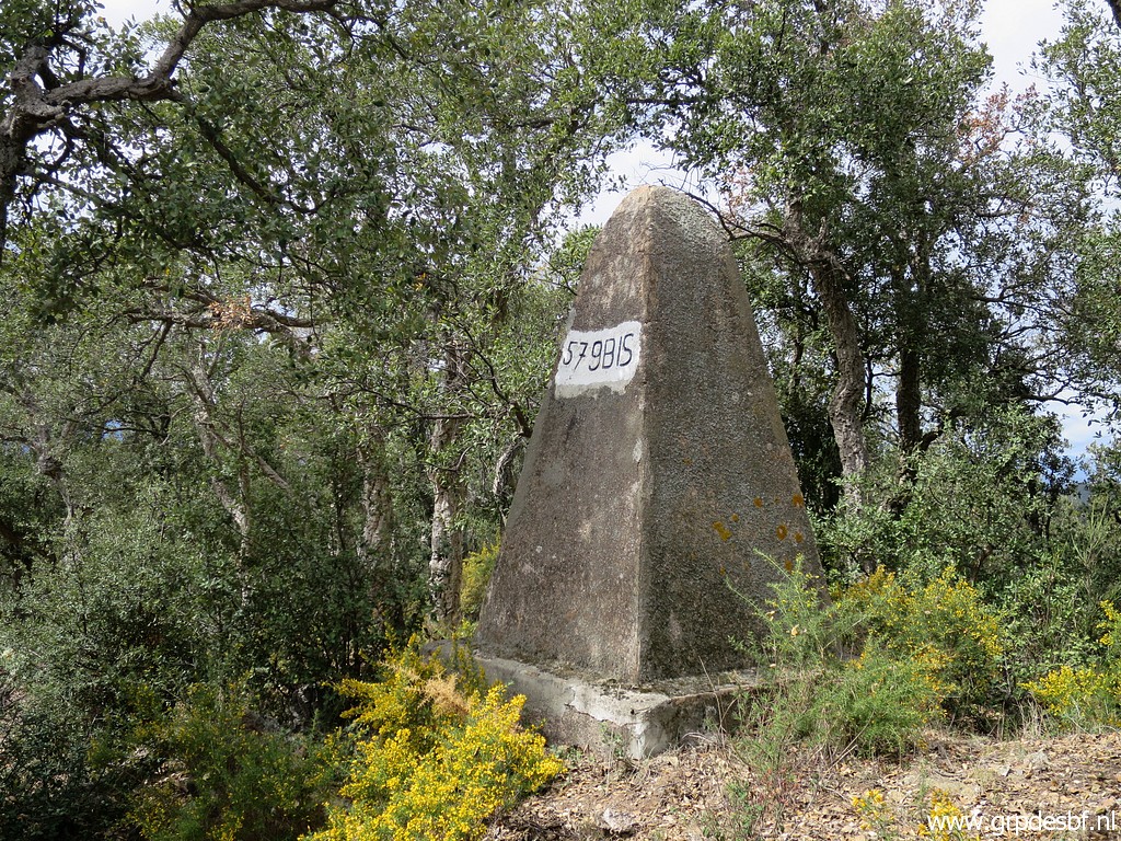 | Bm579bis (click photo to enlarge) |
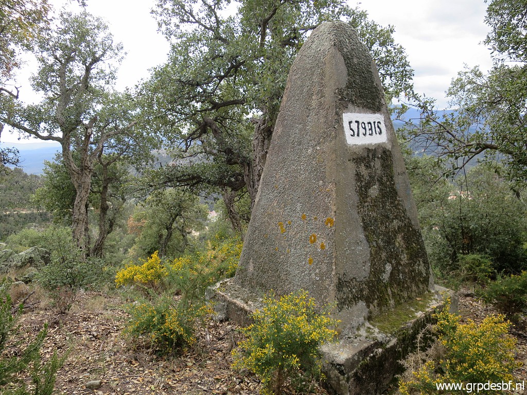 | Bm579bis (click photo to enlarge) |
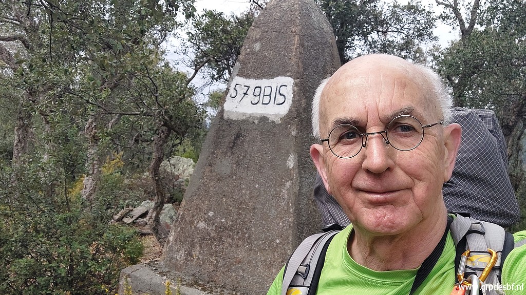 | Time for a selfie. (click photo to enlarge) |
 | On a sort of ridge I can proceed (click photo to enlarge) |
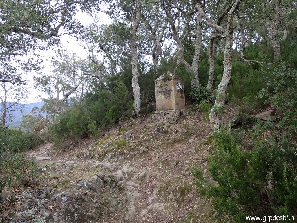 | to bm580. (click photo to enlarge) |
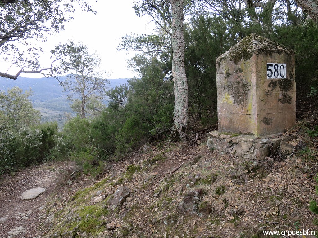 | Bm580 (click photo to enlarge) |
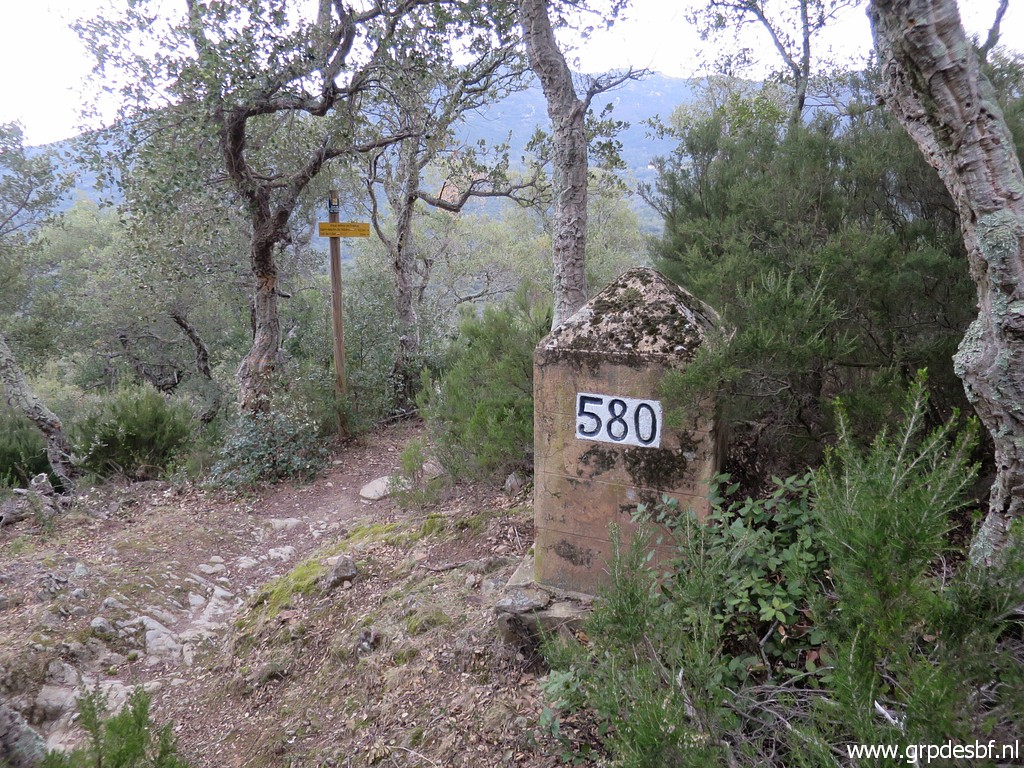 | Bm580 I am back at the GR10-trail (click photo to enlarge) |
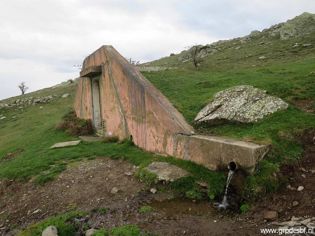
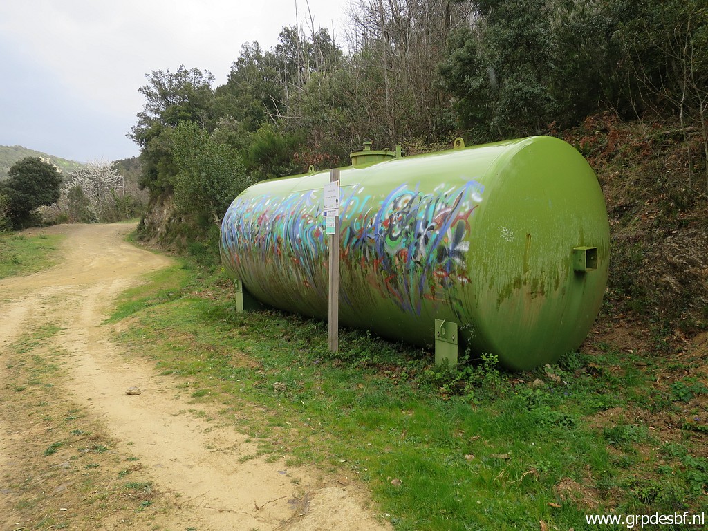 | and pass this watercontainer, no doubt meant for forest-fires, a great risk in this dry mediterranean terrain. (click photo to enlarge) |
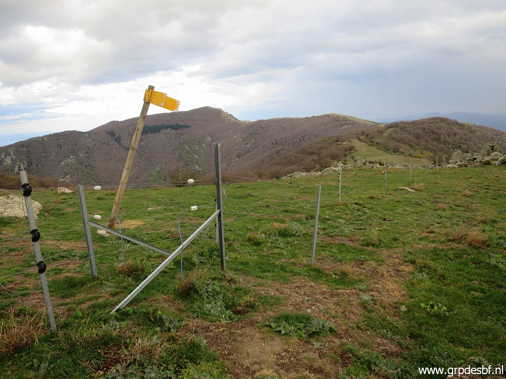
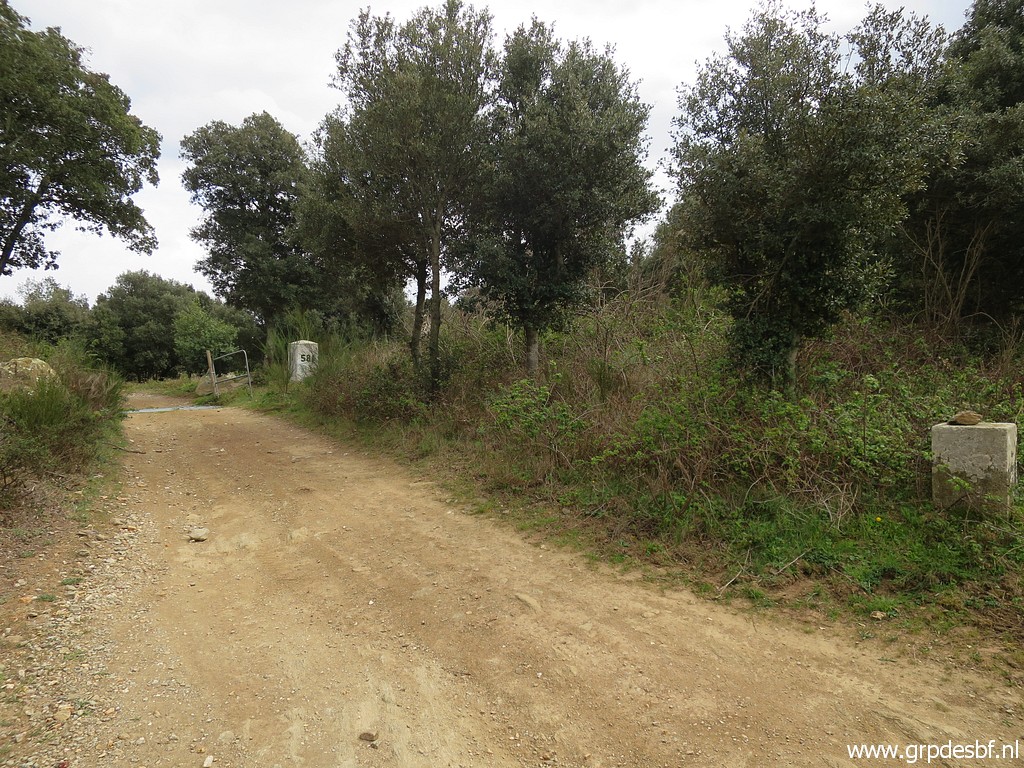 | Bm581 is at a bordercrossing. (click photo to enlarge) |
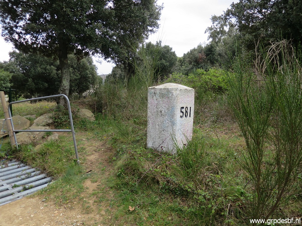 | Bm581 (click photo to enlarge) |
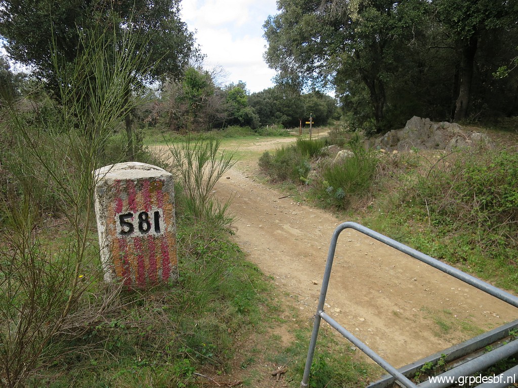 | Bm581 (click photo to enlarge) |
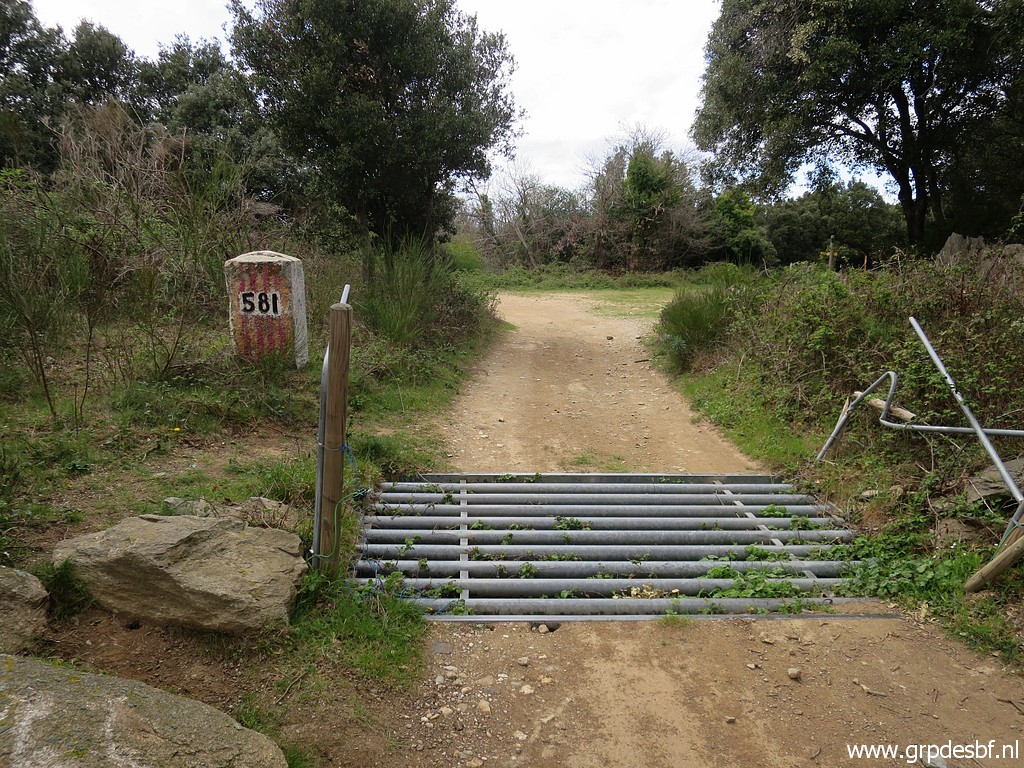 | Bm581 (click photo to enlarge) |
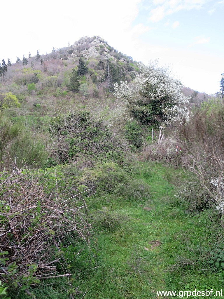
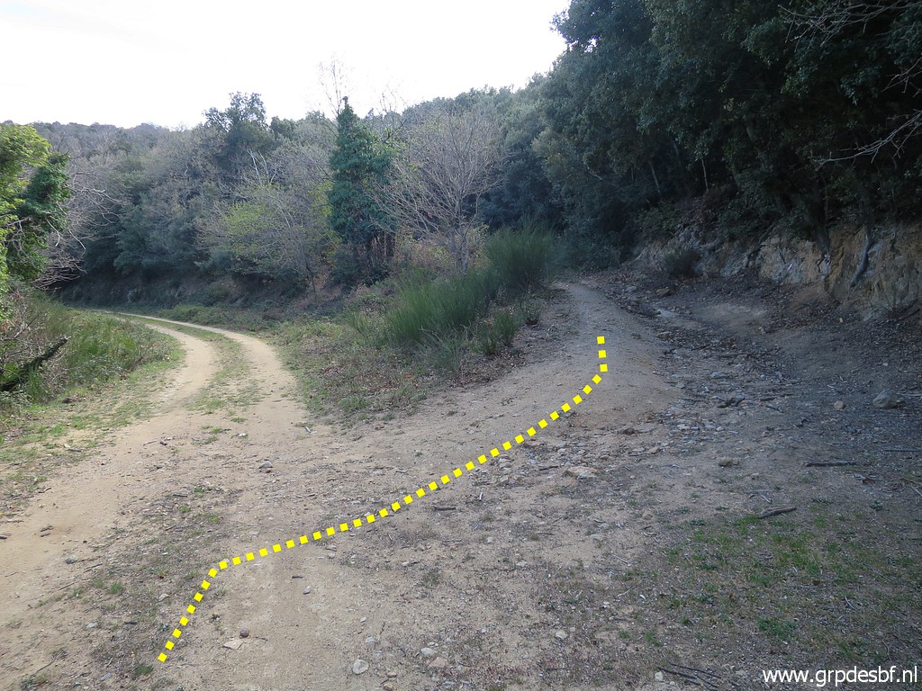 | Somewhere I leave the GR10-trail, probably here, (click photo to enlarge) |
 | and later there is this diversion. Blue skies appear. (click photo to enlarge) |
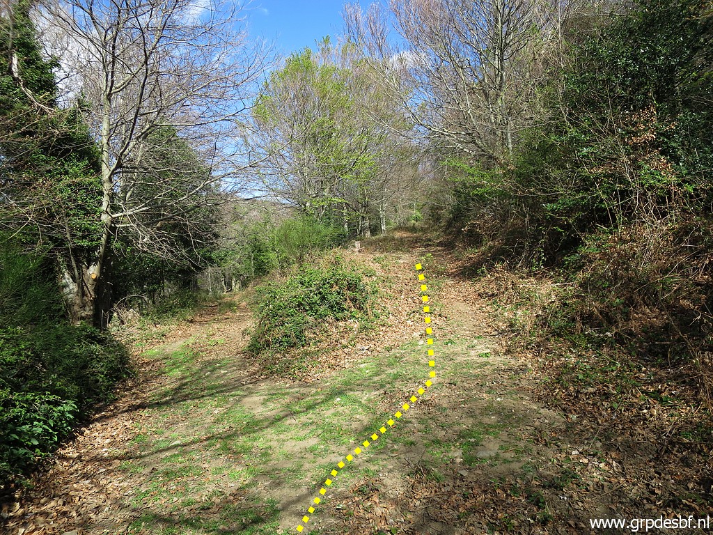
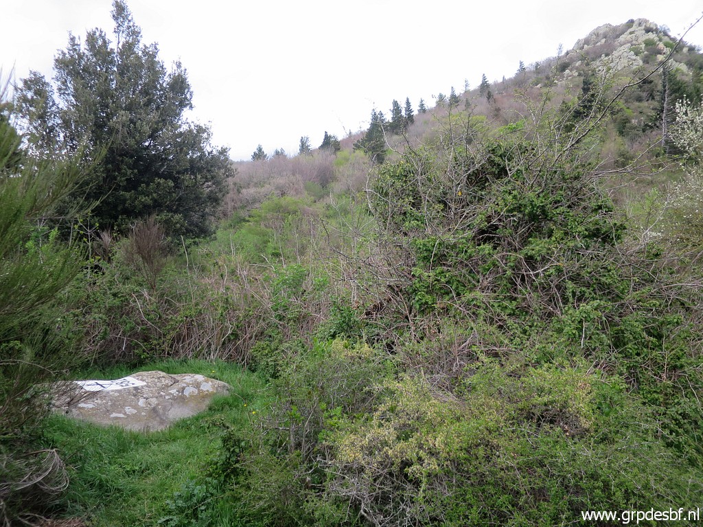
 | Then
I get - after some searching because my intended track had grown over -
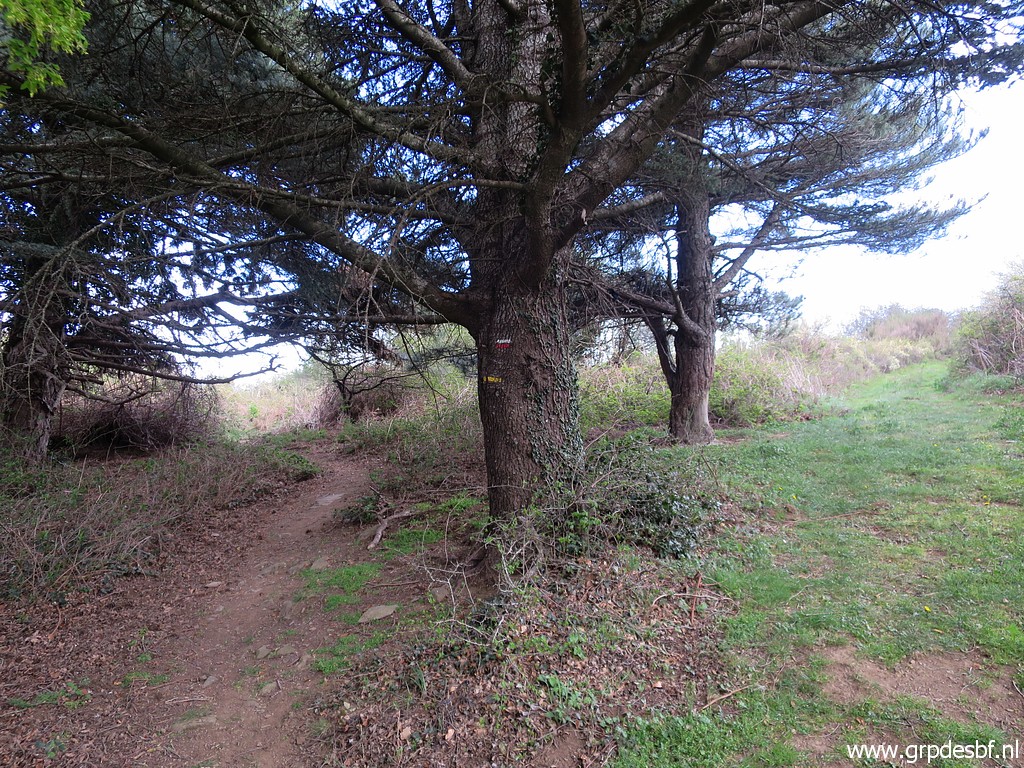
on another GR-trail, it's the GRT89 which crosses soon (click photo to enlarge) |
 | the Coll Forcat into Spain (click photo to enlarge) |
 | and where bm582 is a bit hidden. (click photo to enlarge) |
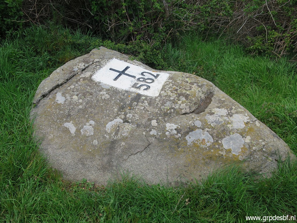 | Bm582 (click photo to enlarge) |
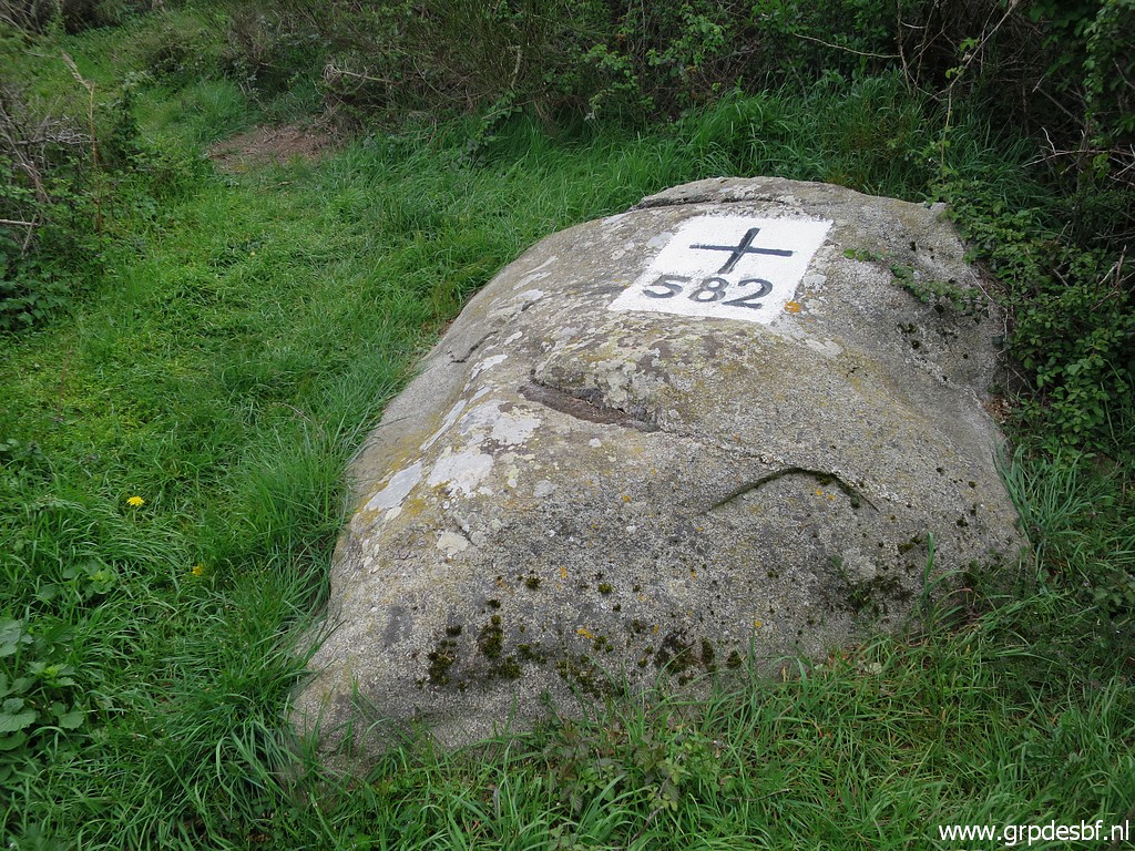 | Bm582 (click photo to enlarge) |
 | This is the actual border-crossing. (click photo to enlarge) |
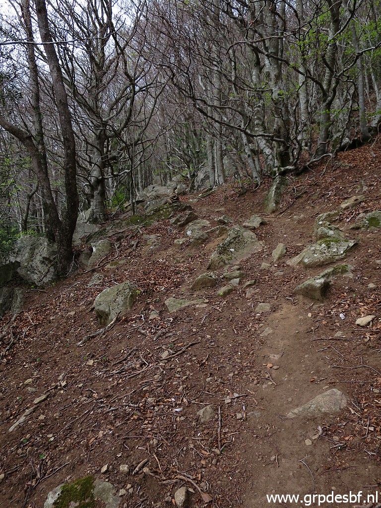 | Then climbing through a beech forest (click photo to enlarge) |
 | with nice spots for a bivouac (but no watersources nearby) (click photo to enlarge) |
 | past this building where I camped on 23-03-2011 next to it. (click photo to enlarge) |
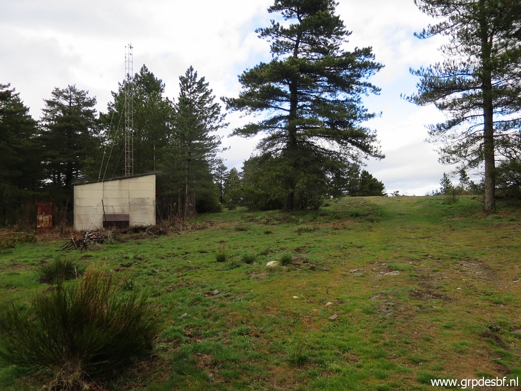
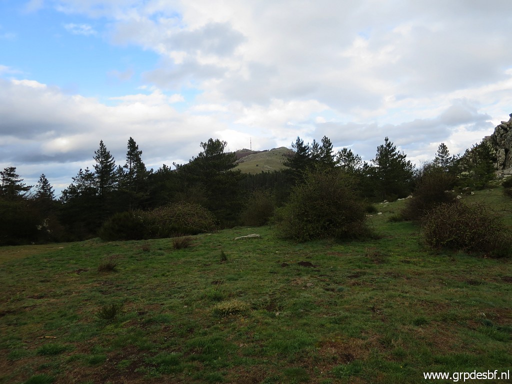 | I have arrived at open terrain with a view on the hilltop of Puig Neulós (click photo to enlarge) |
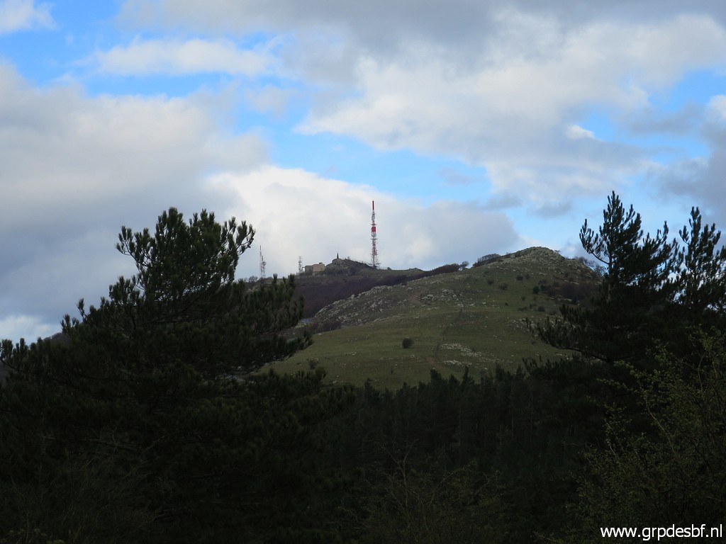 | with its large antenna. (click photo to enlarge) |
 | I am back at the GR10-trail (click photo to enlarge) |
 | but will leave it soon to cross the borderfence into Spain and (click photo to enlarge) |
 | go directly on trails (click photo to enlarge) |
 | to the borderridge SE of Puig Neulós. (click photo to enlarge) |
 | I am back at the border, not far away from bm583. But that one I leave for tomorrow, it's already late and I have to find a spot for my bivouac. (click photo to enlarge) |
 | Very important: is the Font de la Tanyareda still running? Otherwise I would need to descend tomorrow morning into France to find water. But the source is abundantly running. This will be the only running watersource along this 3-days route. (click photo to enlarge) |
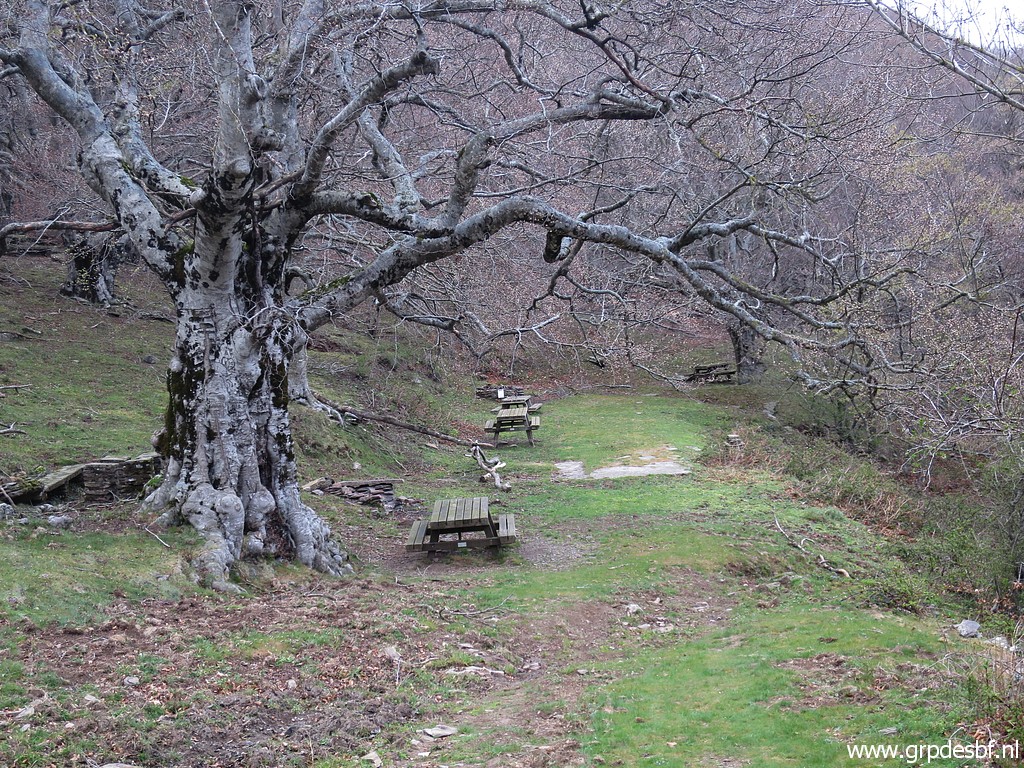 | A bit down is a nice picknick area (click photo to enlarge) |
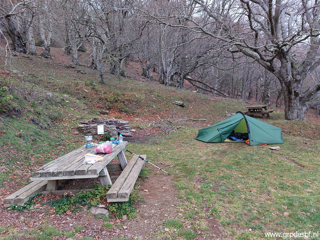 | and a perfect spot to pitch my tent. I am tired. In the middle of the night, I discover that some animal has drawn my foodsupply from under the tent and eaten half of it. (click photo to enlarge) |