|
The
bordermarkers of the Pyrenees : all my trips
 |
|
| -
thursday 7 september
2023 - Revisiting bm420 from Montgarri |
 |
 |
Summary:
part of a series of 9 daytrips in september 2023. This is day 6. Today: in 6 hours from Montgarri to bm420 and back. And why? I have done bm420 for the last time at least 10 years ago. Weather: sunny, nice Basecamp: camping Era Yerla in Arthies. |
 track-20230907.gpx
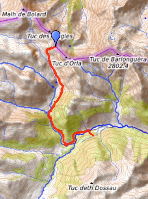
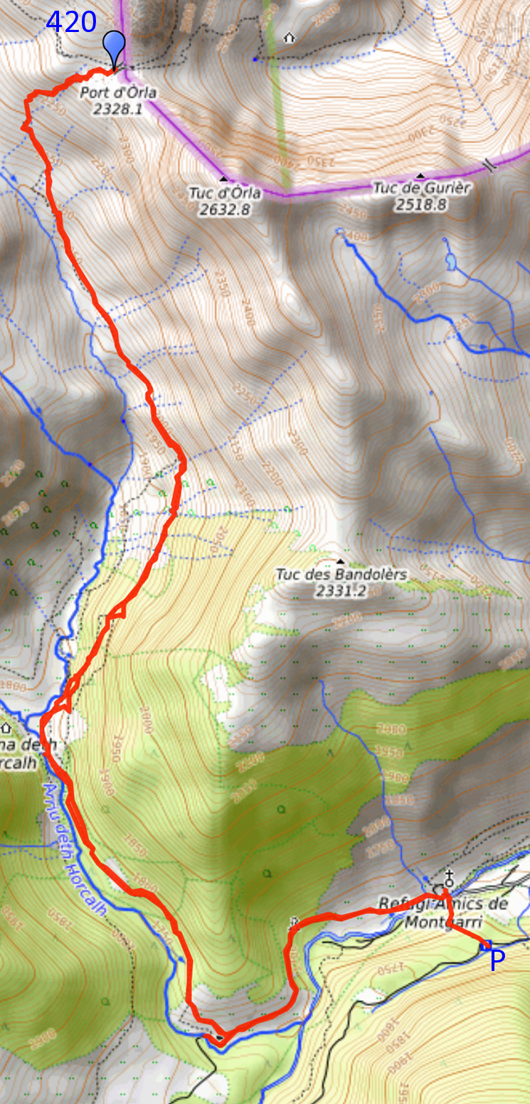
This gpx-track has not been manually corrected which explains the inaccuracy and misalignment at some points. The original elevation recording has been replaced by more accurate DEM-data with Gpsvisualizer.com. For cartographic backgrounds: see the cartography-page Gps-waypoints of all bordermarkers (most recent version): kml: esfr-bordermarkers-all-waypoints.kml gpx: esfr-bordermarkers-all-waypoints.gpx (with reliable elevation data added by gpsvisualizer.com) |
|
 |
According to Garmin
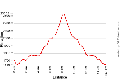
Basecamp (uncorrected track with elevation added by Gpsvisualizer.com): Distance: 15,4 km Max-height: 2330m Min-height: 1646m Elevation: +809m -865m Total elevation: 1674m Start 8:43 Finish 14:35 Total time: 5:52 |
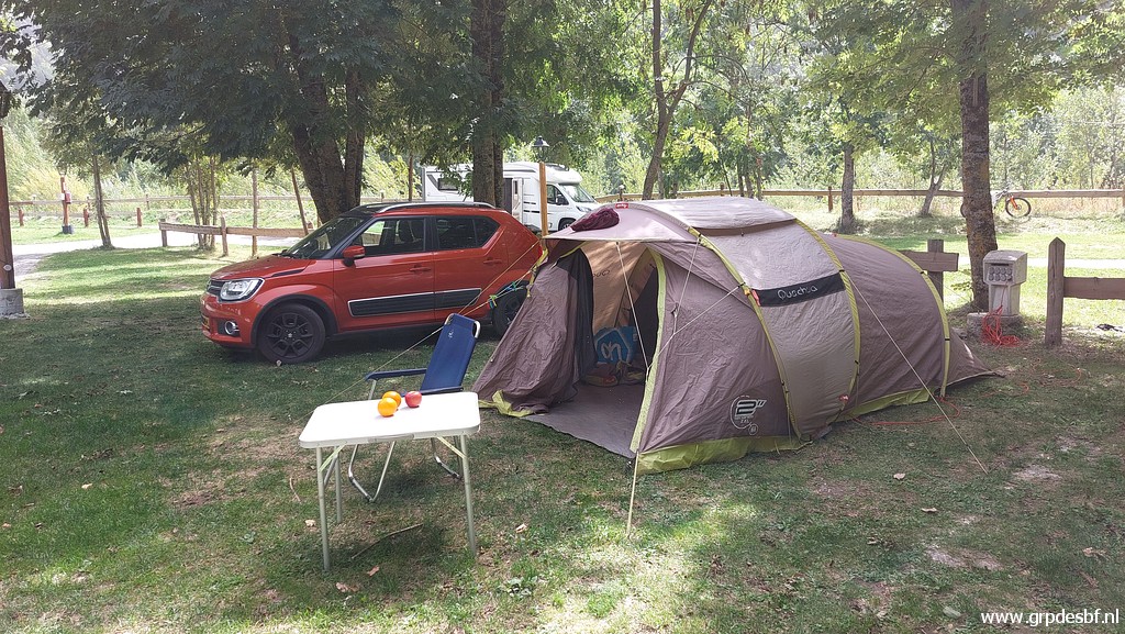 | My basecamp is the nice camping Era Yerla in Arthies, I arrived here yesterday. I felt ill and weak yesterday but I have recovered for a great deal. (click photo to enlarge) |
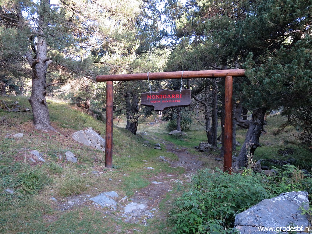 | Driving to Montgarri with its parking above the hamlet. After a short descent through the forest, (click photo to enlarge) |
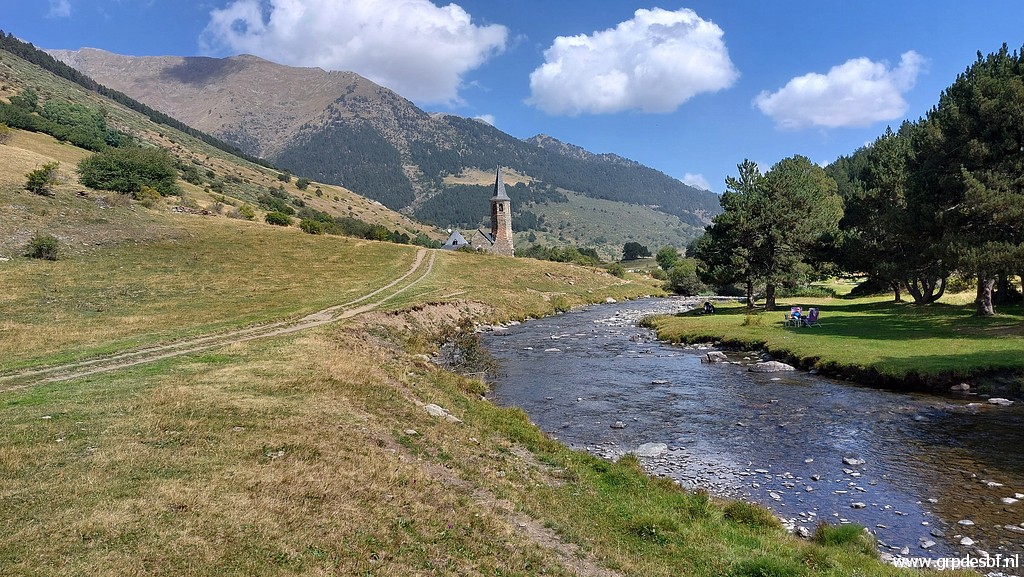
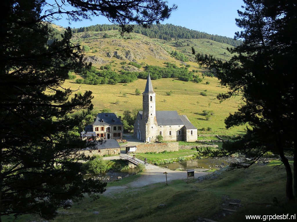 | I arrive at Montgarri with its pilgrimage church and Refugio. (click photo to enlarge) |
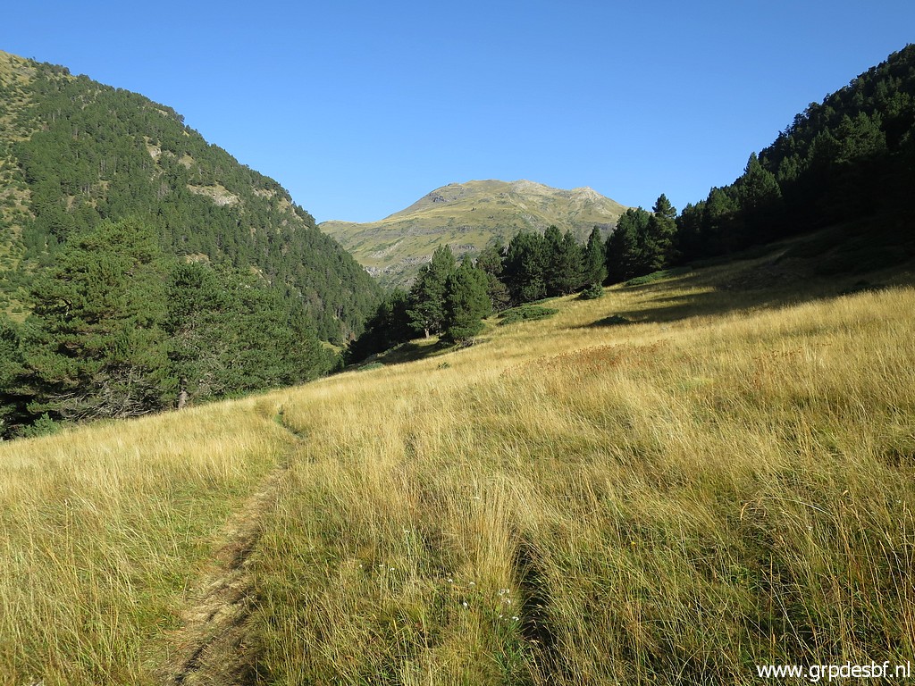
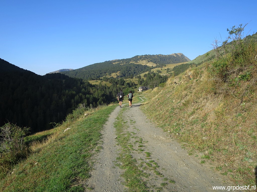 | From Montgarri to the left for ± 1km (click photo to enlarge) |
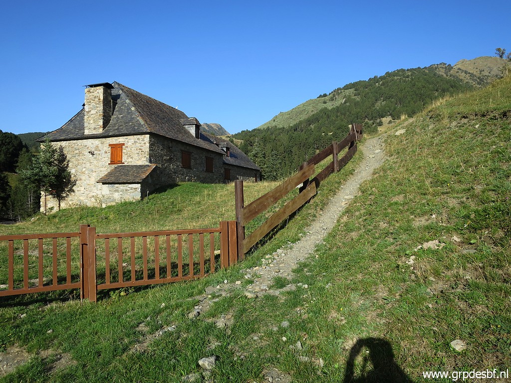 | and at this house taking the trail along the fence. (click photo to enlarge) |
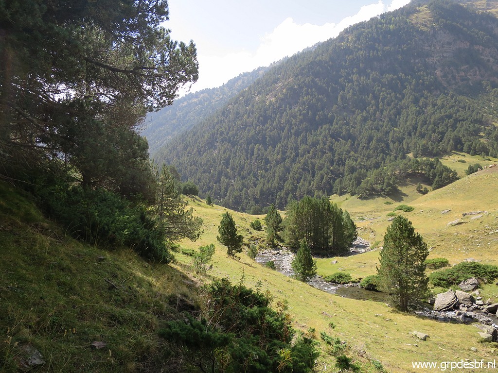
 | It brings you into open terrain and after passing 2 electric fences, (click photo to enlarge) |
 | I arrive here with some confusion which trail to take. I take the left one which looks more used but brings me down on diverting cattle tracks to the stream. Probably you should take the right one. The GR211-trail is however not waymarked with paint. (click photo to enlarge) |
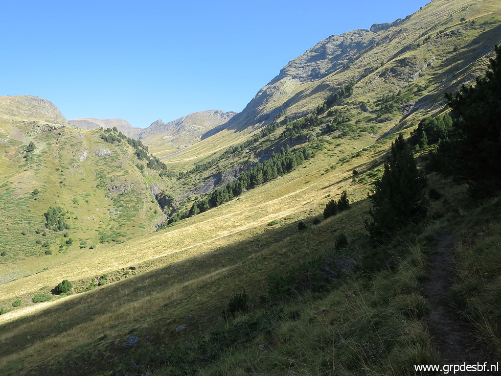 | At the stream, I have to find back my way - using the OsmAnd-app on my smartphone - to the trail uphill. (click photo to enlarge) |
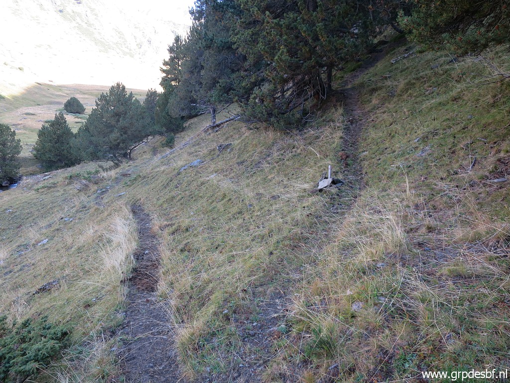
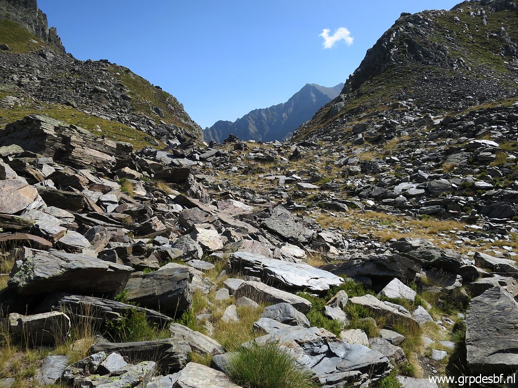
 | Once back on the main trail to bm420, the route is obvious. The trail is well to follow, with cairns now and then and increasing at higher levels. (click photo to enlarge) |
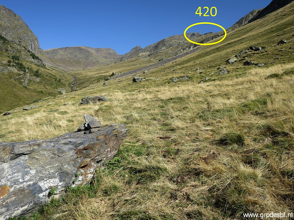
 | Arriving at Port d'Orle (click photo to enlarge) |
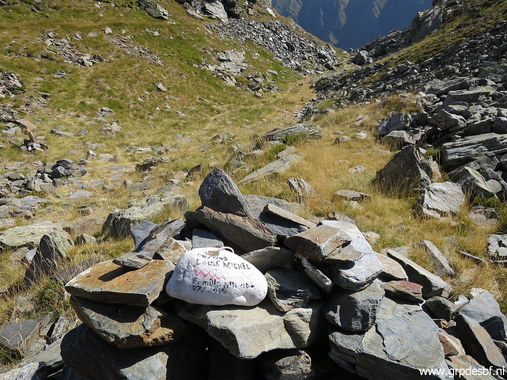
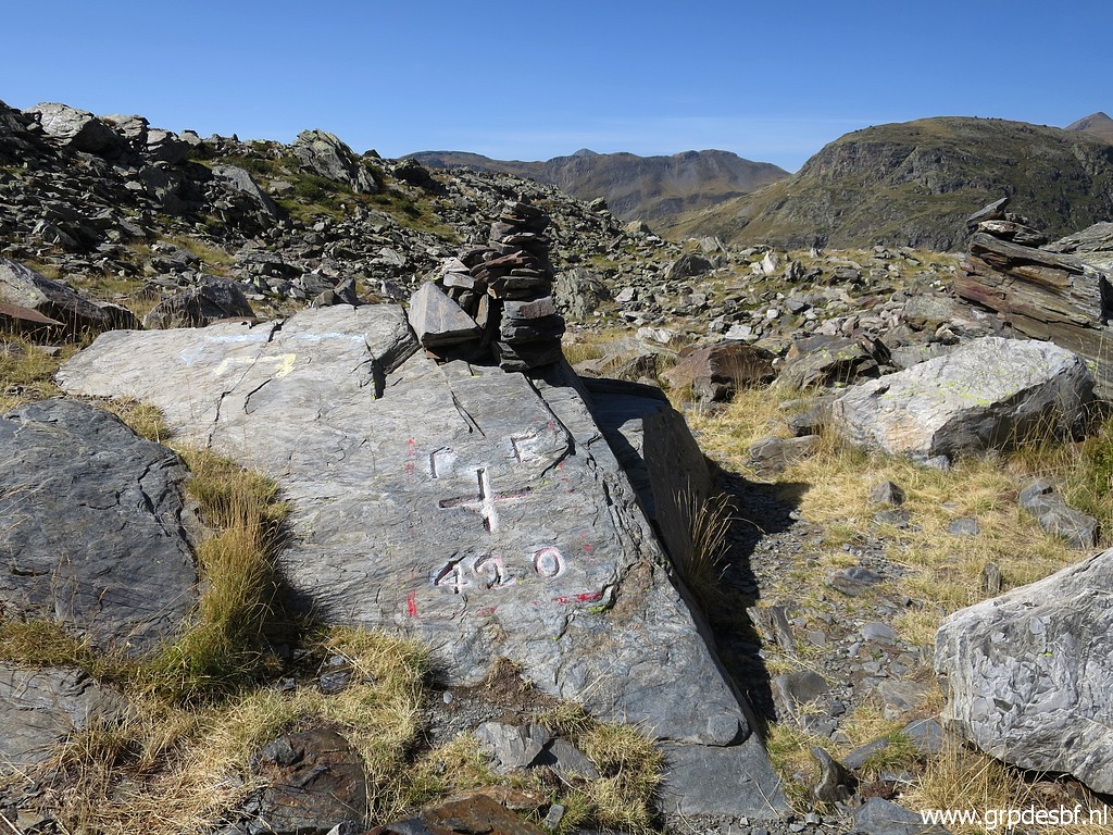 | with bm420 (click photo to enlarge) |
 | Bm420 (click photo to enlarge) |
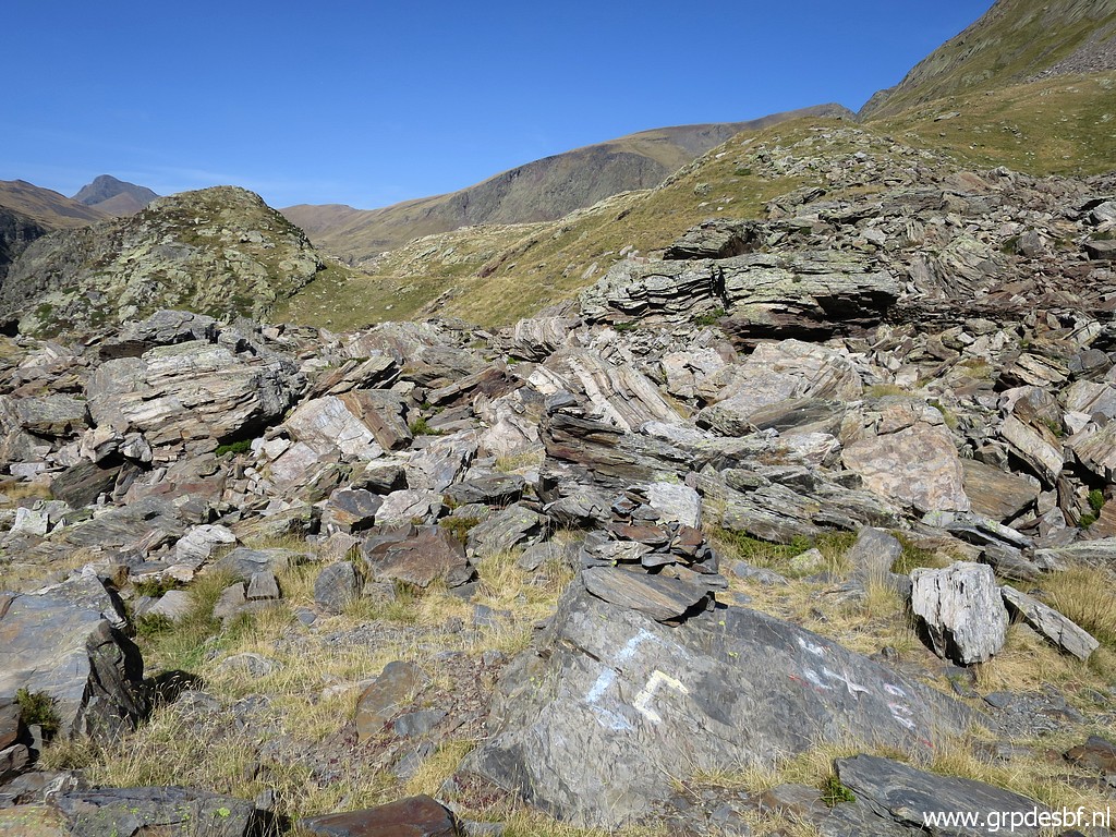
 | A view to the trail (probably an old mining railtrack) which goes NW and that's how I arrived at bm420 on 22-8-2013. (click photo to enlarge) |
 | On top of bm420 (click photo to enlarge) |
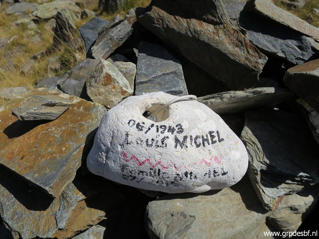 | This remembrance stone. Possibly to remember a WWII refugee who entered neutral Spain via Port d'Orle. (click photo to enlarge) |
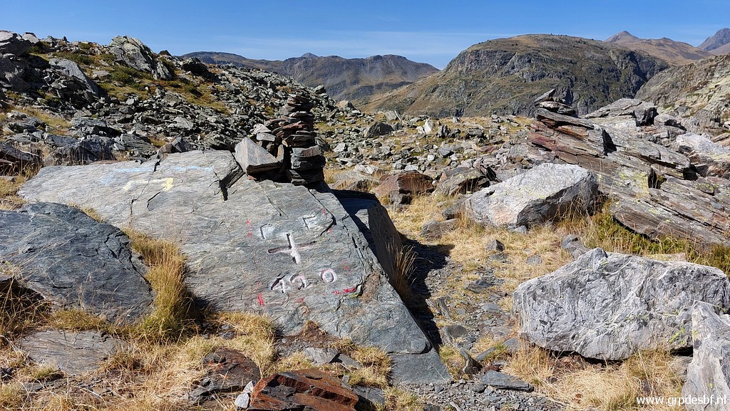 | Bm420 (click photo to enlarge) |
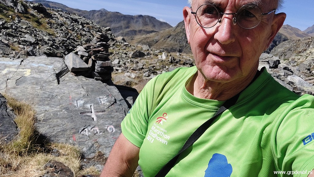 | Selfie (click photo to enlarge) |
 | And then going back, (click photo to enlarge) |
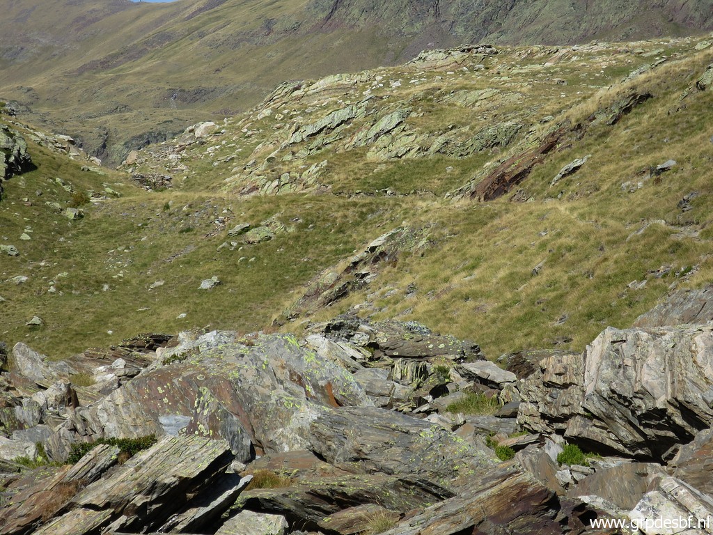
 | descending to the stream (the main trail should keep traversing the forest but that route is unclear). From the stream, a trail becomes soon obvious, merges with the main trail (click photo to enlarge) |
 | and brings me back to Montgarri (click photo to enlarge) |
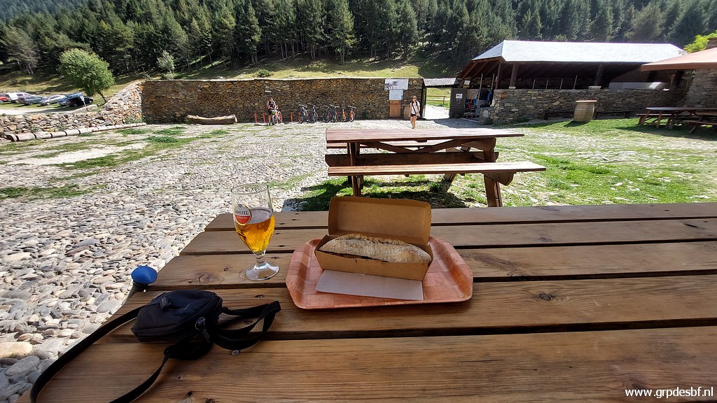 | for a well-deserved beer and a Bocadillo Lomo. (click photo to enlarge) |
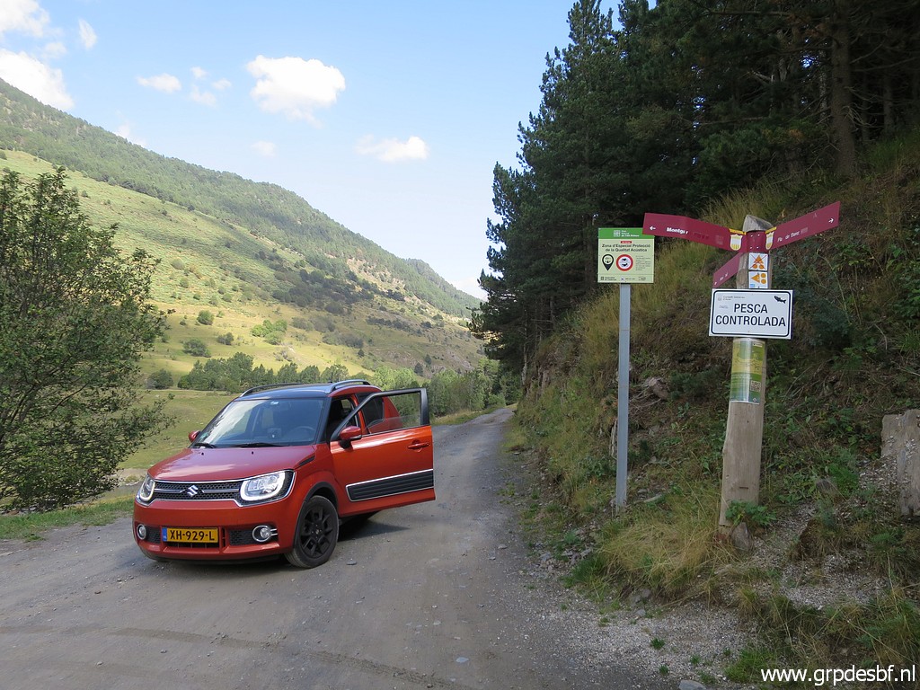 | When
back at the parking, I do a short reconnaissance of the dirtroad which
goes from Montgarri to the E in the direction of Alòs de Isil. Is it allowed to drive there? That could be very practical if I want to redo bm421, 421bis and 422. (click photo to enlarge) |
 | The sign says forbidden for motorcycles but apparently not for cars. Enough for today, I return - via Vielha for some shopping - to the camping. (click photo to enlarge) |