|
The
bordermarkers of the Pyrenees : the GRPdesBF
 |
|||||||||||||||||||||||||||||||||||||||||||||||||
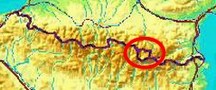
| - stage 37 - Laguna Romedo de Baix - Pla de Boet (connection stage) |
 |
||||||||||||||||||||||||||||||||||||||||||||||||
 |
|||||||||||||||||||||||||||||||||||||||||||||||||
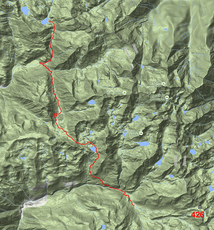
| Only
the bordermarkers on this stage are shown (and some adjoining ones).
The main route is red, the variants have other colors. Click here for an fullscreen interactive map. In short No bordermarkers in this stage. The distance between Port de Guillou (bm425) and Port de Bouet (bm427) is too large to cover in one day. From the lake of Laguna de Romedo Baix, a trail will bring you along the stream of Riu de Romedo to the open area of Pla de Boavi. Then continuing on a waymarked trail southwards and in the last part south-east to reach the Pla de Bouet. Considerations There are enough opportunities for a bivouac along this stage. Moreover, there's a nice cabin near the lake of Estany de Baborte and in the end you could find refuge in the Refugi de Vallferrera. Finally, the plains of Pla de Boet offer you plenty of nice bivouac-spots. Factsheet
Gps-files needed
Useful You might check the relevant webpages in the 'All markers'-section and 'All my trips'-section. They provide pictures of the bordermarkers and additional information. Version 02 January 2016. If you have any correction, suggestion etcetera -> please email me: eefberns@grenspalen.nl MAPS AND DIRECTIONS Print your own maps It's easy to print your own - custom made - maps with the GRPdesBF-route and the bordermarkers on them. See: Print your own maps 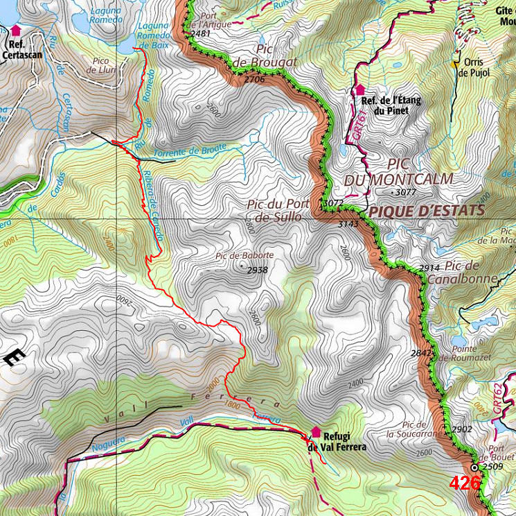 |
|||||||||||||||||||||||||||||||||||||||||||||||||
| |
|||||||||||||||||||||||||||||||||||||||||||||||||