|
The
bordermarkers of the Pyrenees : the GRPdesBF
 |
|||||||||||||||||||||||||||||||||||||||||||||||||
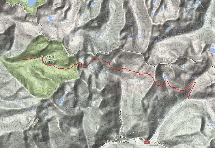
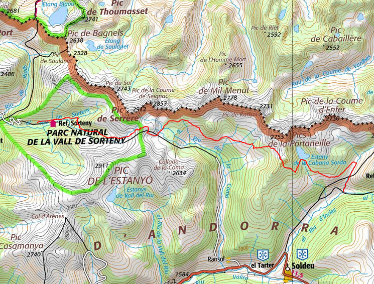
| - stage 39 - Refugi de Sorteny - Vall d'Incles (connection stage) |
 |
||||||||||||||||||||||||||||||||||||||||||||||||
 |
|||||||||||||||||||||||||||||||||||||||||||||||||
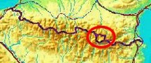
| Only
the bordermarkers on this stage are shown (and some adjoining ones).
The main route is red, the variants have other colors. Click here for an fullscreen interactive map. In short No bordermarkers in this stage. The distance between Port de Bouet (bm426) and the Portella Blanca d'Andorra is too large to cover in one day. The starting point is the Refugi Sorteny and you'll finish at the hamlet of Incles. Considerations None, in general well-waymarked or easy to navigate. Enough spots 'en route' for collecting water and a bivouac. Also several cabins along the route. Factsheet
Gps-files needed
Useful You might check the relevant webpages in the 'All markers'-section and 'All my trips'-section. They provide pictures of the bordermarkers and additional information. Version 02 January 2016. If you have any correction, suggestion etcetera -> please email me: eefberns@grenspalen.nl MAPS AND DIRECTIONS Print your own maps It's easy to print your own - custom made - maps with the GRPdesBF-route and the bordermarkers on them. See: Print your own maps |
|||||||||||||||||||||||||||||||||||||||||||||||||
 |
|||||||||||||||||||||||||||||||||||||||||||||||||
| |
|||||||||||||||||||||||||||||||||||||||||||||||||