The bordermarkers of the Pyrenees : all my trips  | |
| - 19 april
2007 - First meeting with Jean Iglesias |
 |
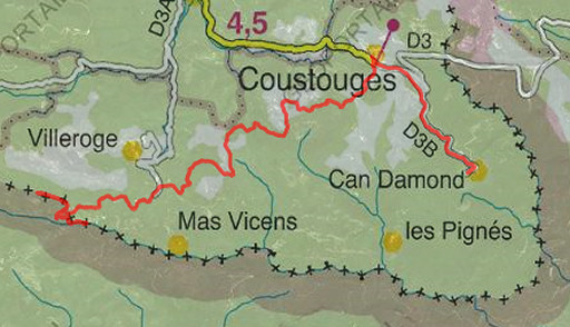 |
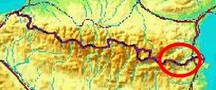
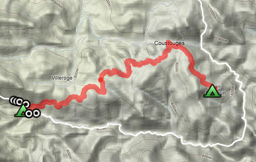
Trip-summary. Part of a 6 day's trip with Jan-Willem, exploring the bordermarkers around Coustouges and Lamanère: bm521-541. Day 2: via Coustouges to Hostal de la Muga where we meet Jean Iglesias and find 6 bm's. |
 |
esfr-trip-track-20070419.kml (opens in Google Earth) |
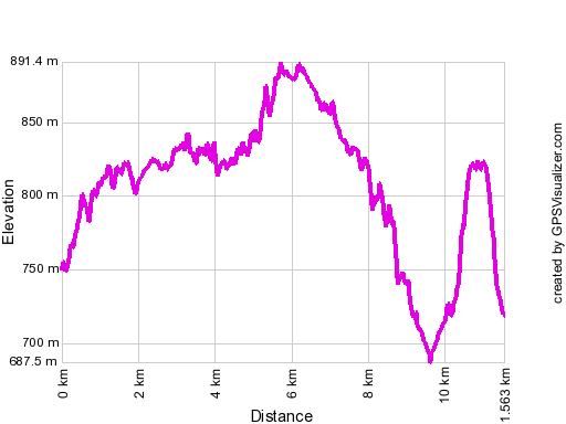 |
Gpx-view.com Distance (flat): 11.5 km Altitudes : Maximum 891 m Minimum 688 m Denivellation : +201 m -304 m cumulative: 505 m |
 |
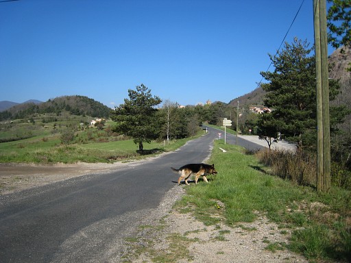
Leaving Can d'Amunt at 10.15 am, a dog kept following us until |
 |
the authentic village of Coustouges |
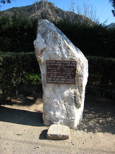 |
A monument remembering the thousands of Spanish refugees entering France in 1939 at the end of the Spanish civil war. |
 |
The 'route forestière' Coustouges - Vilaroja leads us to |
 |
the border
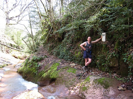
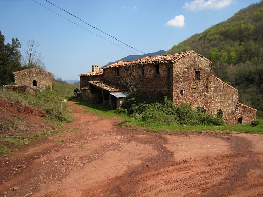
near Hostal de la Muga, a deserted farm just on the Spanish side. The border can only be passed by feet, crossing a dry stream. This dry stream merges further below with the river La Muga. On the opposite side is a small bordermarker: bm534. Coordinates N42 20 56.9 E2 36 04.4 |
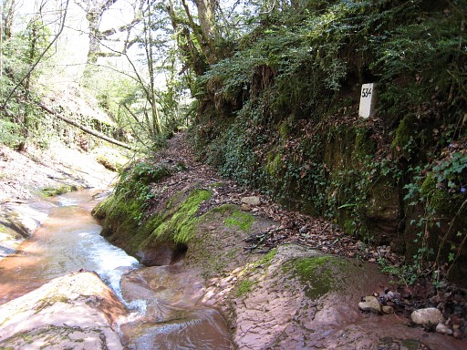 |
Bm534 |
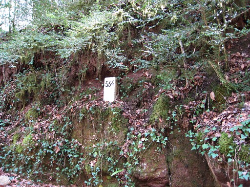 |
Bm534 |
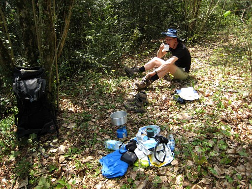 |
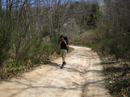
And while Jan-willem takes a break, |
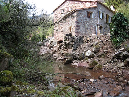 |
I follow the river downstream on the
Spanish side along a vague path through the woods until I see a
house on the opposite side. There are remains visible of an old bridge. This house must have been the old mill mentioned in de the delimination act. On the bridge there should have been 2 bordermarkers on each side, both disappeared apperently when the bridge collapsed. |
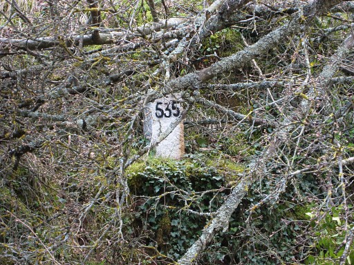 |
But I discover a bordermarker on the Spanish riverside, opposite to the old mill: bm535 Coordinates N42 20 57.2 E2 36 13.4 |
 | Bm535 |
 | Back to Hostal de la Muga, the deserted farm. |
| There we meet a few older men who were collecting mushrooms. One of them knows the bordermarkers astonishingly well. He tells us: - each year there's a check of the bordermarkers by French and Spanish officials - pictures are taken and stored in Barcelona - he himself serves as a guide - there's a guy named Laridon, living in Saint Ciprien Plage who searches and photographes the bordermarkers as a hobby - bm536 is to be reached "from above" and he tells something about a staircase in this regard We forgot to ask for his name but - back home - Jan-Willems discovered Laridon's website (http://www.laridon.fr/page2.html ) and the probable name of this local expert: Jean Iglesias. |
|
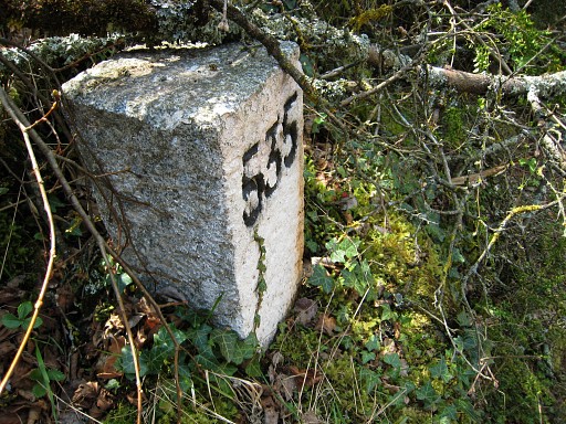
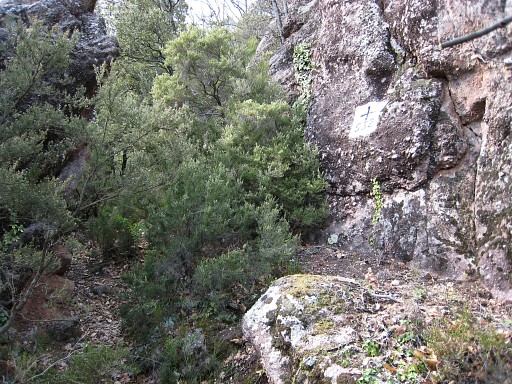
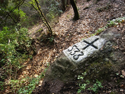 | While JW is pitching our tent near the farm, I make a short trip op the mountain. Between the two barns a white-waymarked path starts. Soons it crosses the border-stream and bends back a bit higher and crosses the stream again. At that second crossing you can find ± 20 meters higher : Bm533 MIOM N42 21 05.6 E2 36 00.5 |
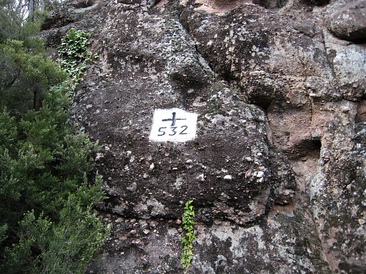 | The 'white' path passes further on: BM532 MIOM N42 21 07.7 E2 35 52.8 |
 | Bm532 |
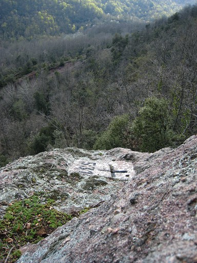 | And the 'white' route reaches further a ruined barn. Approximately 10 meters to the south there's a high rock. I see a ladder lying on the ground and suddenly remember what the old man told me: " bm536 is to be reached "from above" and he tells something about a staircase in this regard" And with help of this ladder I can climb to the top of the boulder and see: Bm531 MIOM N42 21 08.6 E2 35 48.9 |
 | Bm531 |
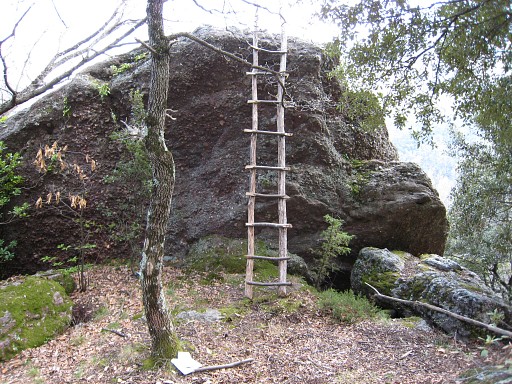 | The rock & the ladder leading to bm531 |
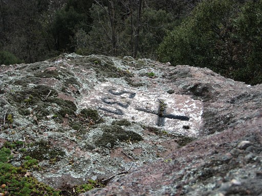
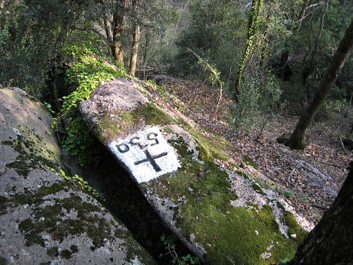 | The white waymarking diasappears after bm531. But using a compass I pass a little stream and a bit further a slightly larger stream (who merge together a bit below) and climb to a group of high rocks. There I find - on the northside of the path - on a ridge Bm530 MIOM N42 21 09.1 E2 35 44.9 |
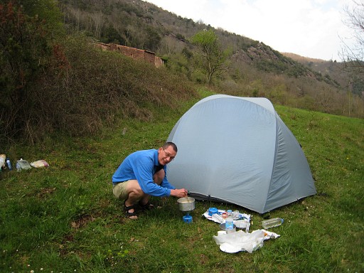 | And then it's time to return to Hostal de la Muga. Jan-Willem is preparing our meal. |