|
The
bordermarkers of the Pyrenees : all my trips
 |
|
| - monday 28 may
2018 - Bm366-373 revisited |
 |
 |
Summary:
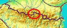
part of 6 day-trips in
the Pyrenees, near Bagnères-de-Luchon and in the Basque country, together with Jan-Willem Doomen Today: a short trip redoing bm367-373, part of the project to visit every bordermarker at least twice. In this case also checking the GRPdesBF-route. Basecamp: camping Las Espalias in Bossost. Weather: cloudy, rainy later on |
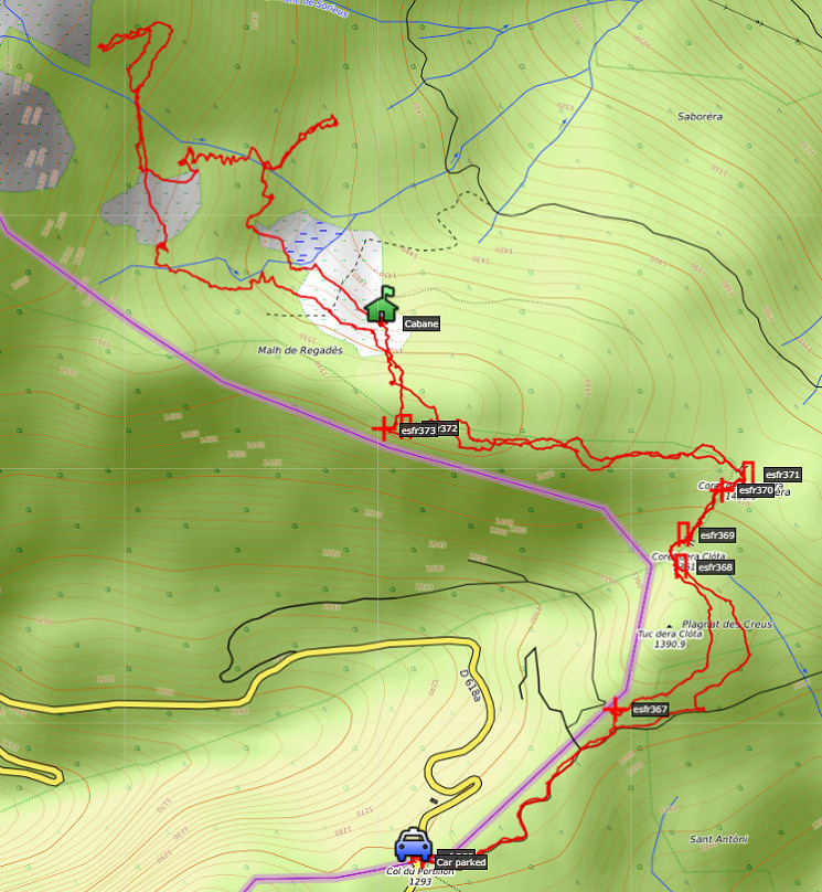 track-20180528.kml
(click to open this trip in Google Earth or copy link to Google Maps; click right on this link to download gpx-version). The gps-track has not been manually corrected which explains the inaccuracy and misalignment at some points. For cartographic backgrounds: see the cartography-page Gps-waypoints of all bordermarkers (most recent version): kml: esfr-bordermarkers-all-waypoints.kml gpx: esfr-bordermarkers-all-waypoints.gpx |
|
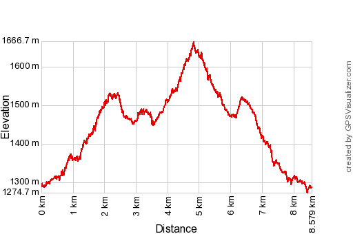 |
According to Google Earth: 7,5km, max-height 1656, min-height 1291m, elevation: +693m -693m Start 12:34 Finish 16:39 |
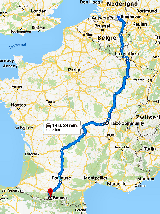 |
In the two previous days we have first driven from Eindhoven to Taizé. We attended an evening service in the ecumenical community of Taizè. Next day continuing to Bossost to my favourite camping in the area: las Espalias. |
 | Driving up to Col de Portillon with (click photo to enlarge) |
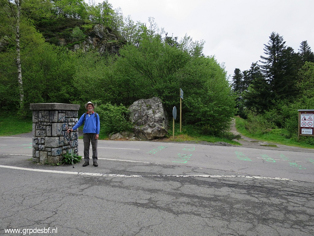
 | bm366, already photographed many times. (click photo to enlarge) |
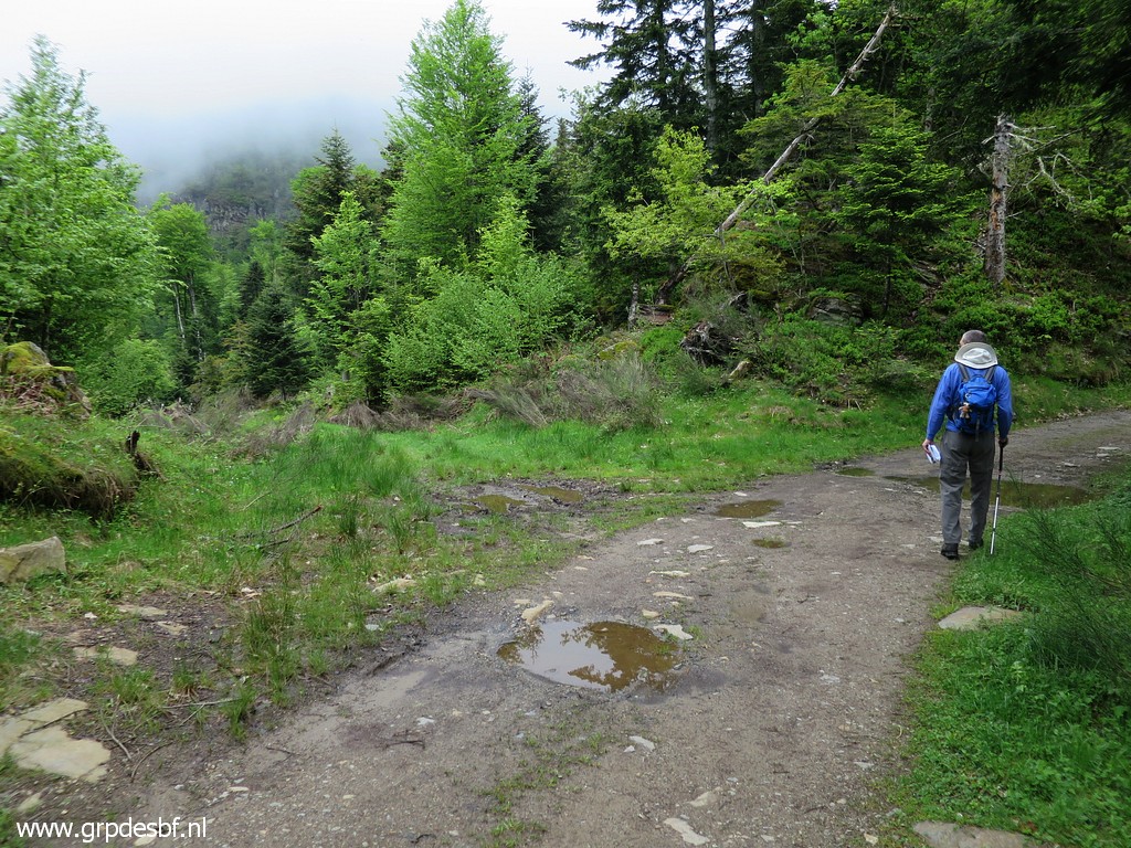 | Continuing on the dirtroad on the Spanish side of the hillridge. Before entering the forest for bm367, there is - after 450m - this open space to the lefft where a forest dirtroad goes down. (click photo to enlarge) |
 | A bit further - ± 75m - , a painted sign on the rocky roadside. Tomorrow I will decide to make from the markers 367-373 a variant of the main GRPdesBF-route. So I already put the directions into this picture. (click photo to enlarge) |
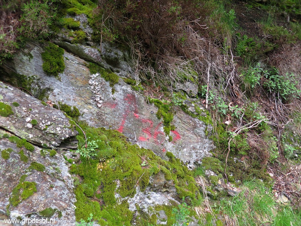 | It points to bm367. I painted it myself at 20150707 . A few meters further (click photo to enlarge) |
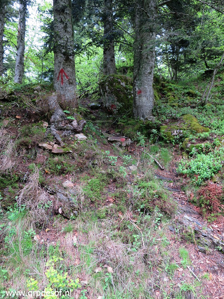 | this arrow where to enter the forest. There are a few more arrows to (click photo to enlarge) |
 | guide you on a faint trail more smoothly to bm367 which is (click photo to enlarge) |
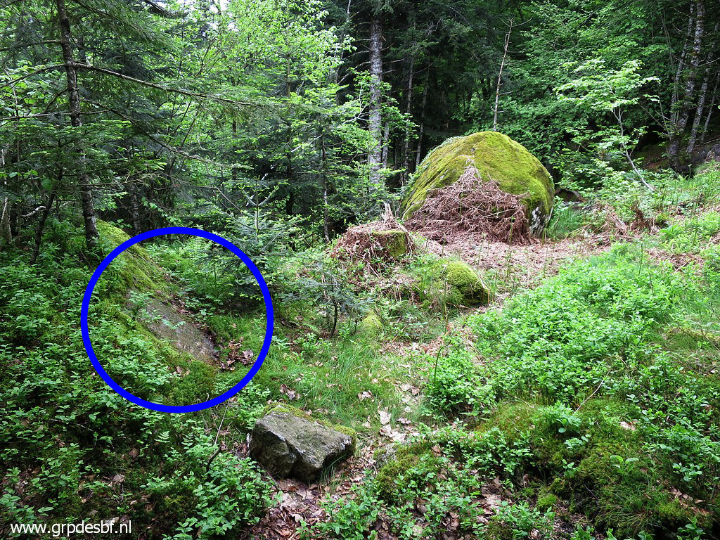
 | not obvious to find. (click photo to enlarge) |
 | From bm367 the same faint trail brings you underneath and around a rocky hilltop to its other side where bm368 is waiting. (click photo to enlarge) |
 | Bm368 (click photo to enlarge) |
 | The
next bm is beyond the next hilltop but it is easier to go clockwise
around it in a half circle to arrive at this flat and muddy part (click photo to enlarge) |
 | where we find (zoom-in) bm369 (click photo to enlarge) |
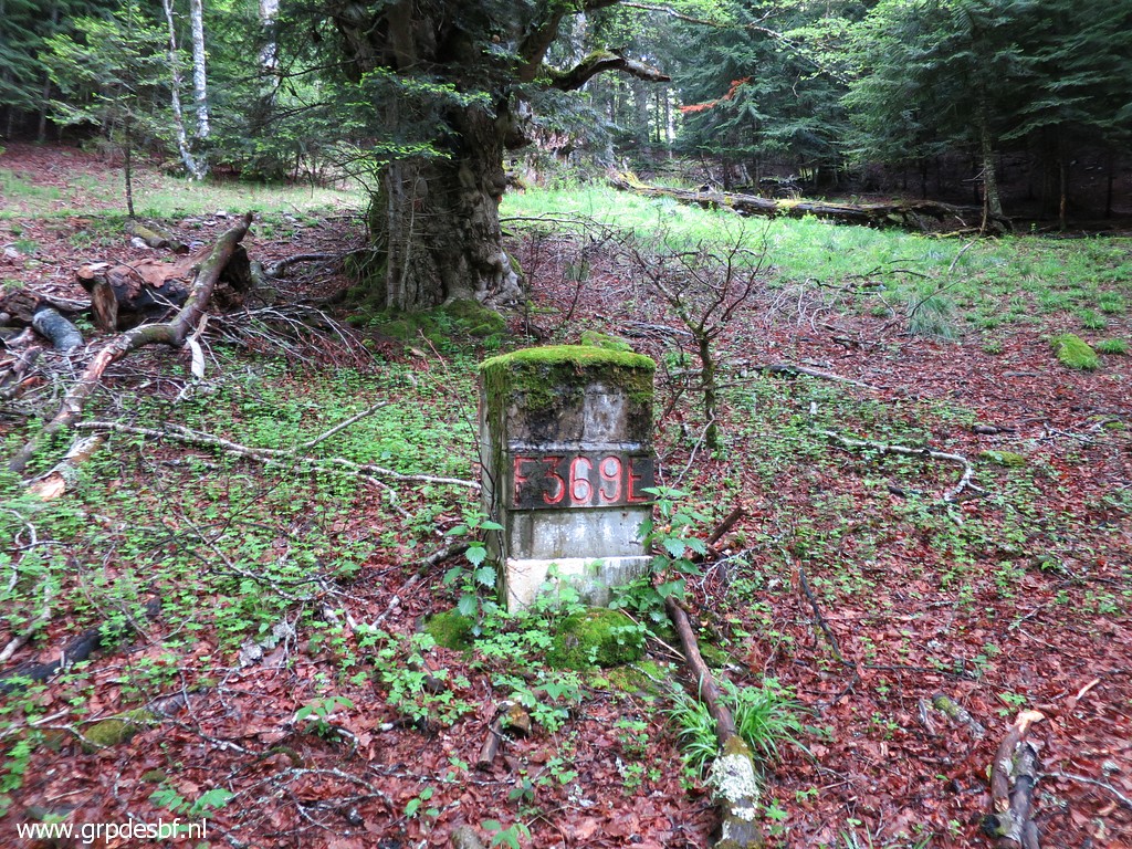 | Bm369 (click photo to enlarge) |
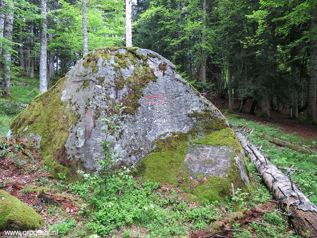 | Then a climb NE uphill to bm370 (click photo to enlarge) |
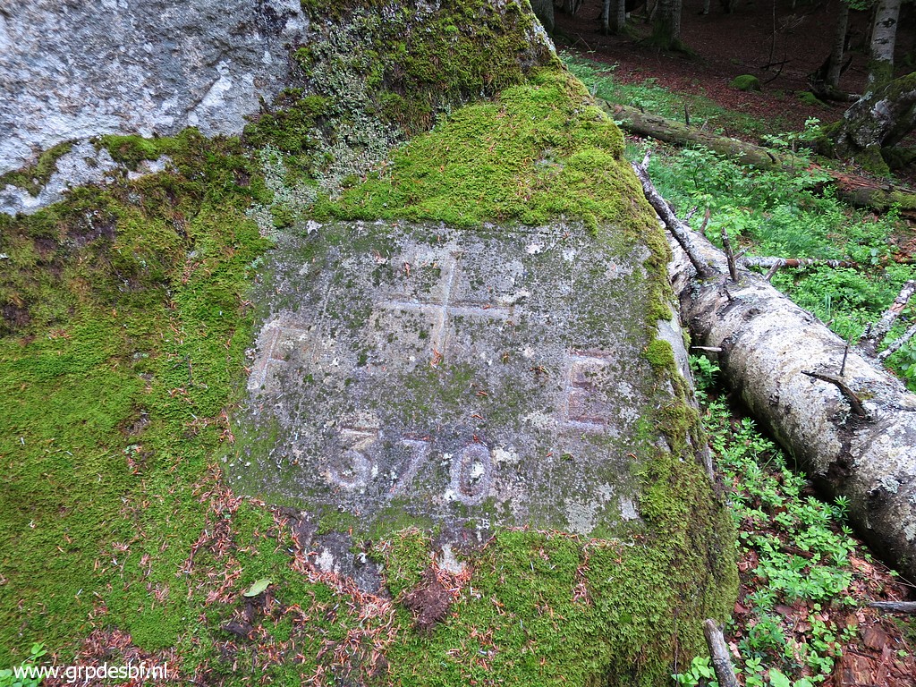 | Bm370 (click photo to enlarge) |
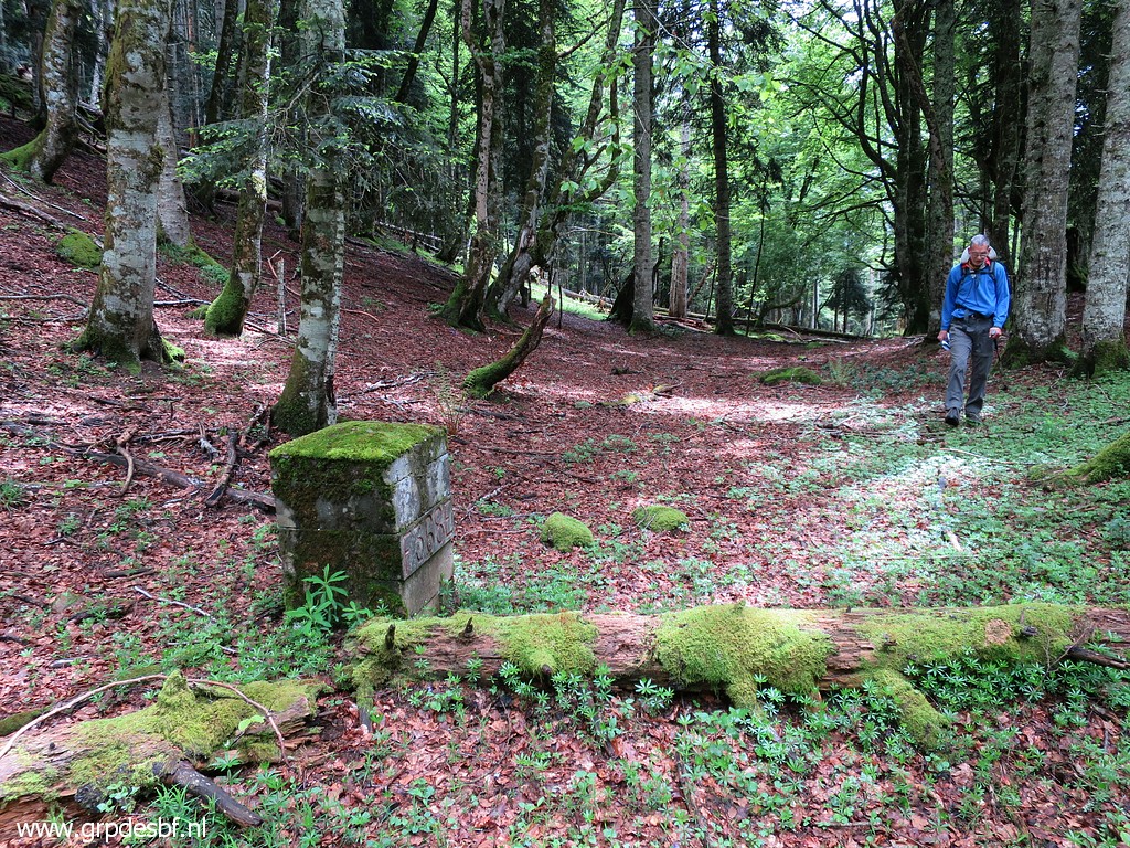
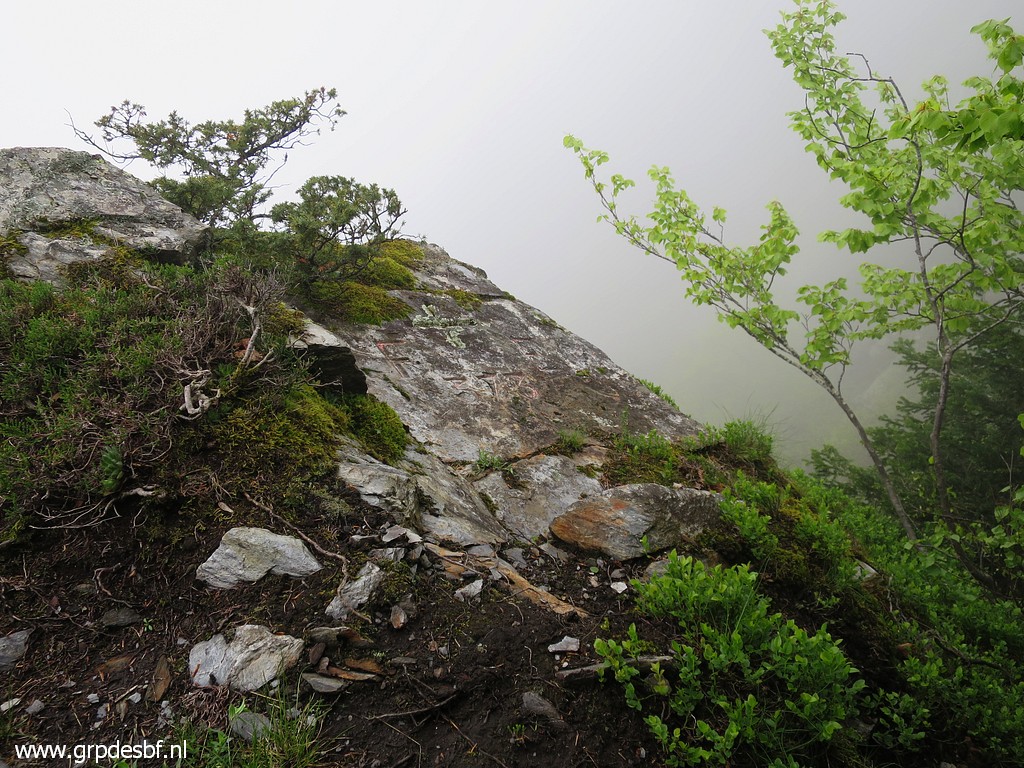
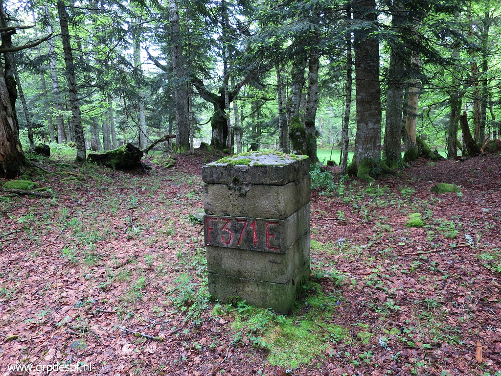 | Then it's a short climb to bm371 (click photo to enlarge) |
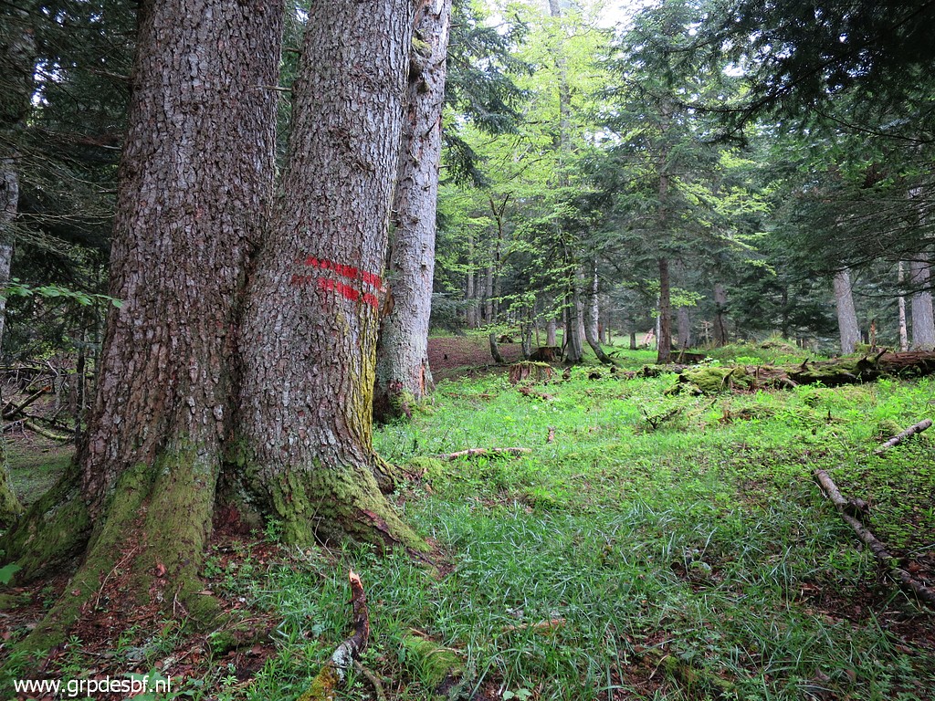 | Now
through the forest in a straight western line to bm372. It's a kind of
hillridge towards it, keep on the right side of it to spot these double
red lines which help you to navigate because they indicate the
borderline. (click photo to enlarge) |
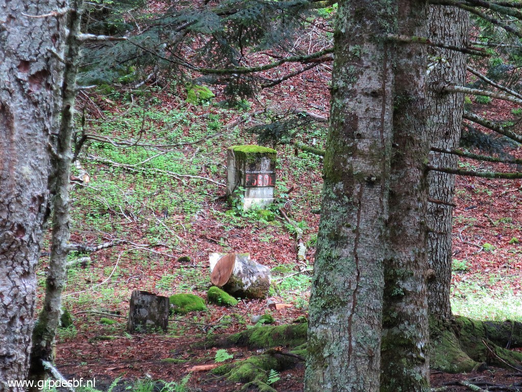
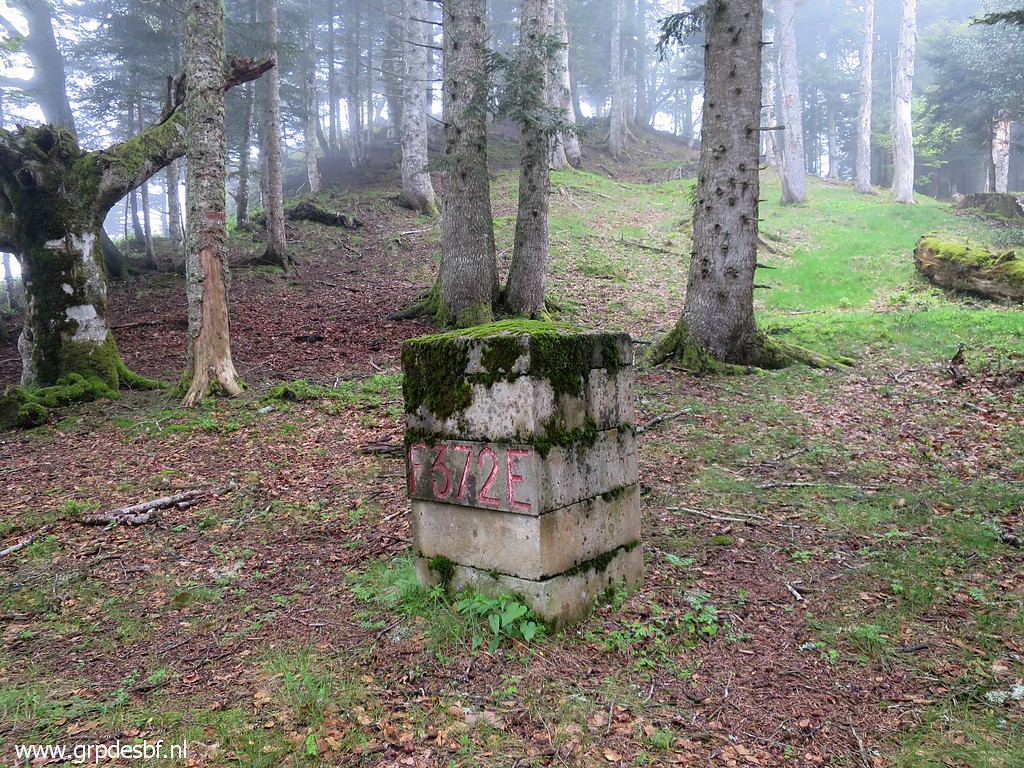 | Bm372 In the background the small hilltop (click photo to enlarge) |
 | where bm373 can be found. (click photo to enlarge) |
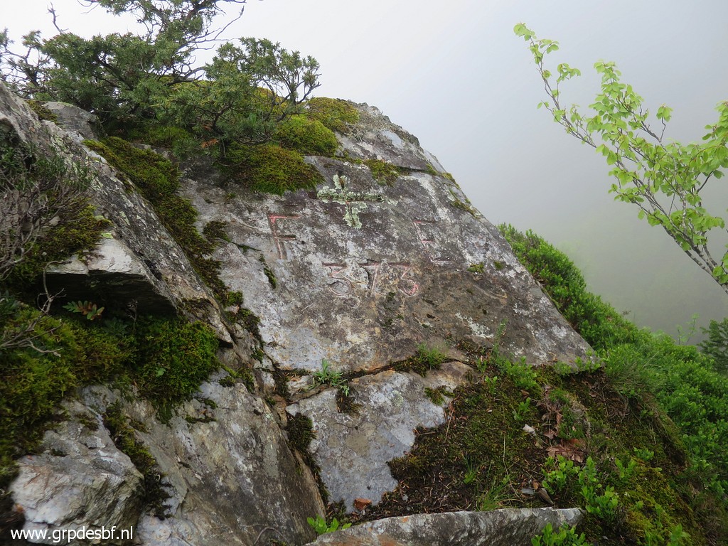 | Bm373 (click photo to enlarge) |
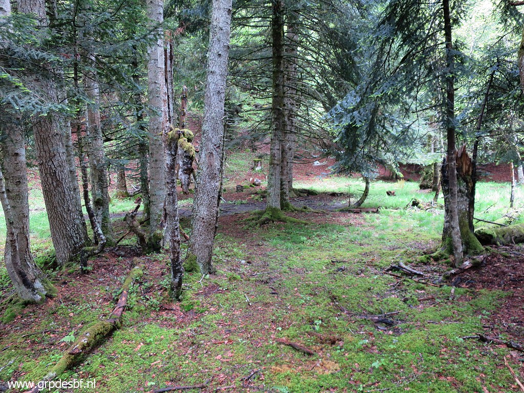
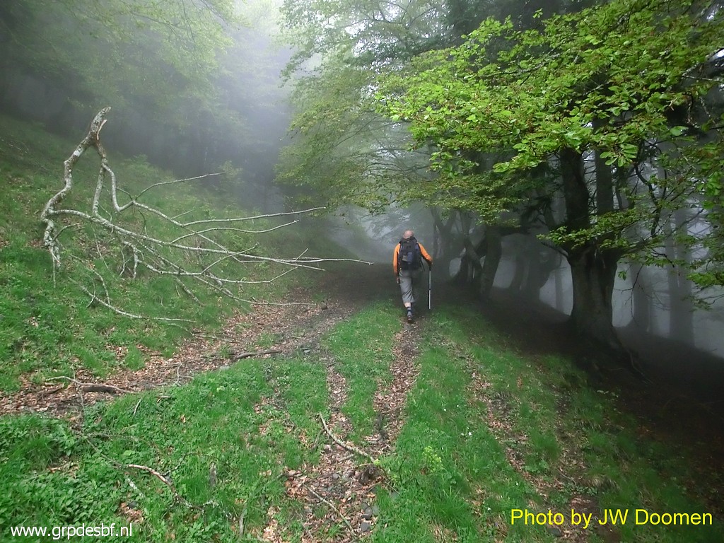
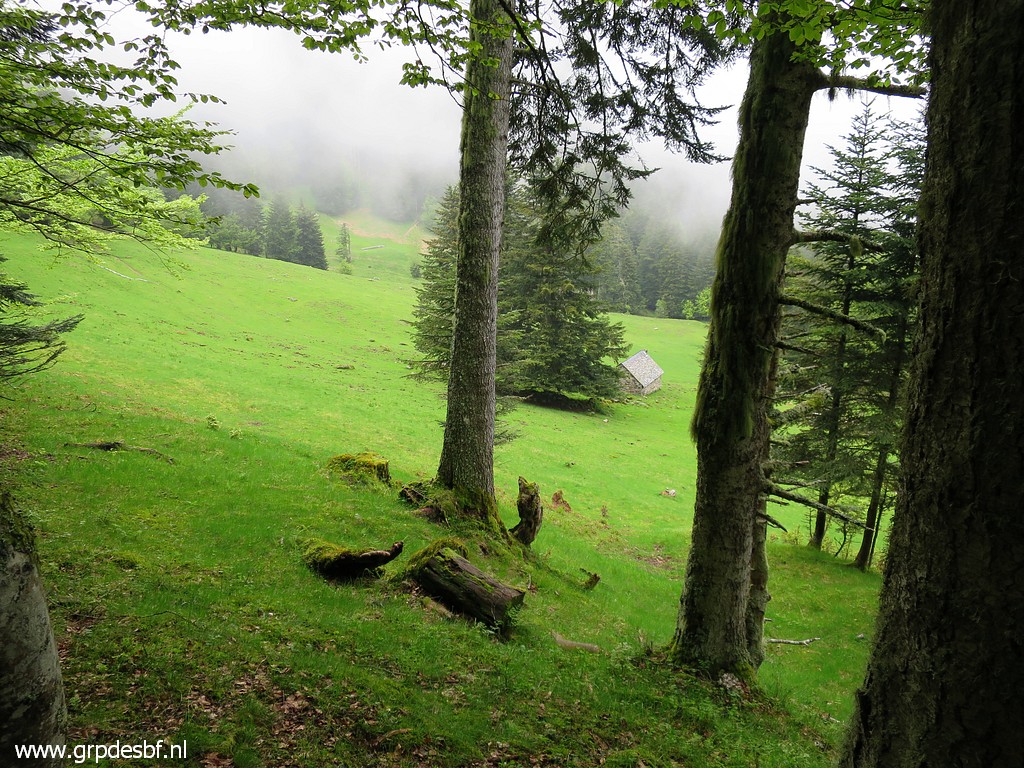 | Then
descending north through the forest to this open field. It's the lower
one of two meadows in the forest. The upper one is higher on - NW - in the
forest. (click photo to enlarge) |
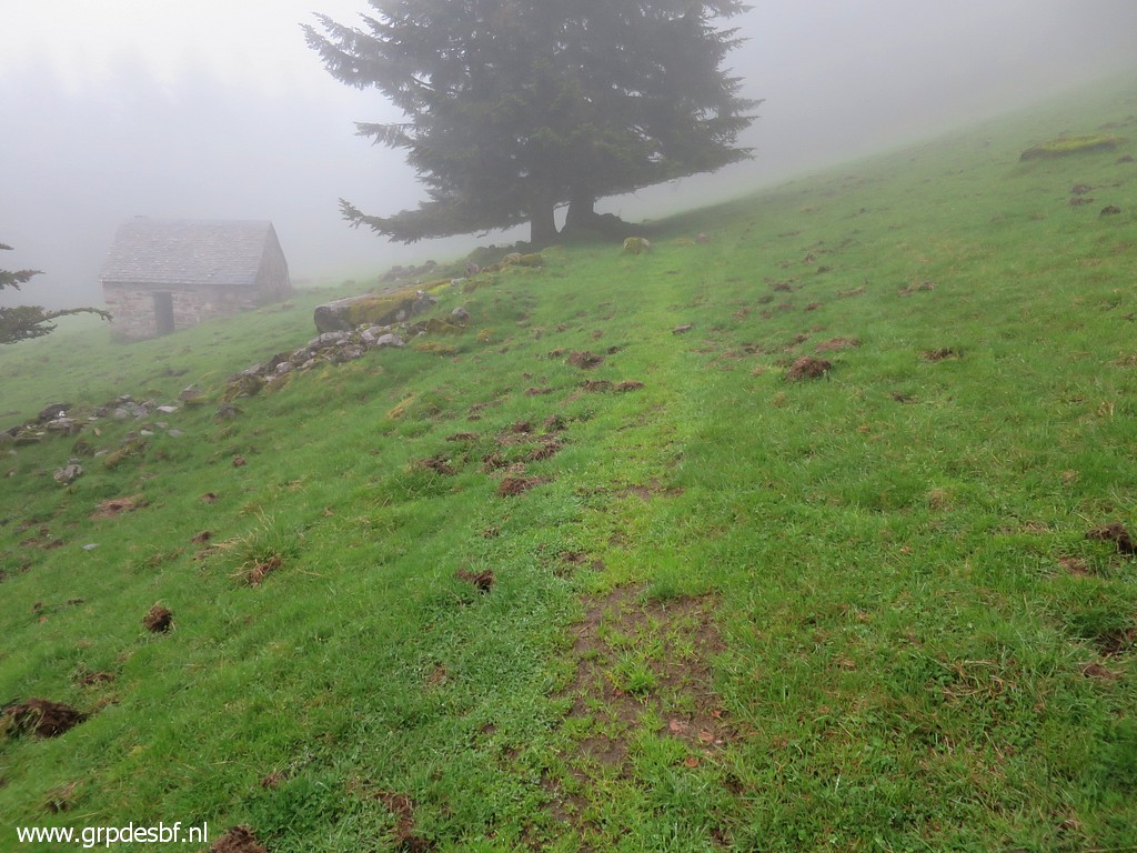
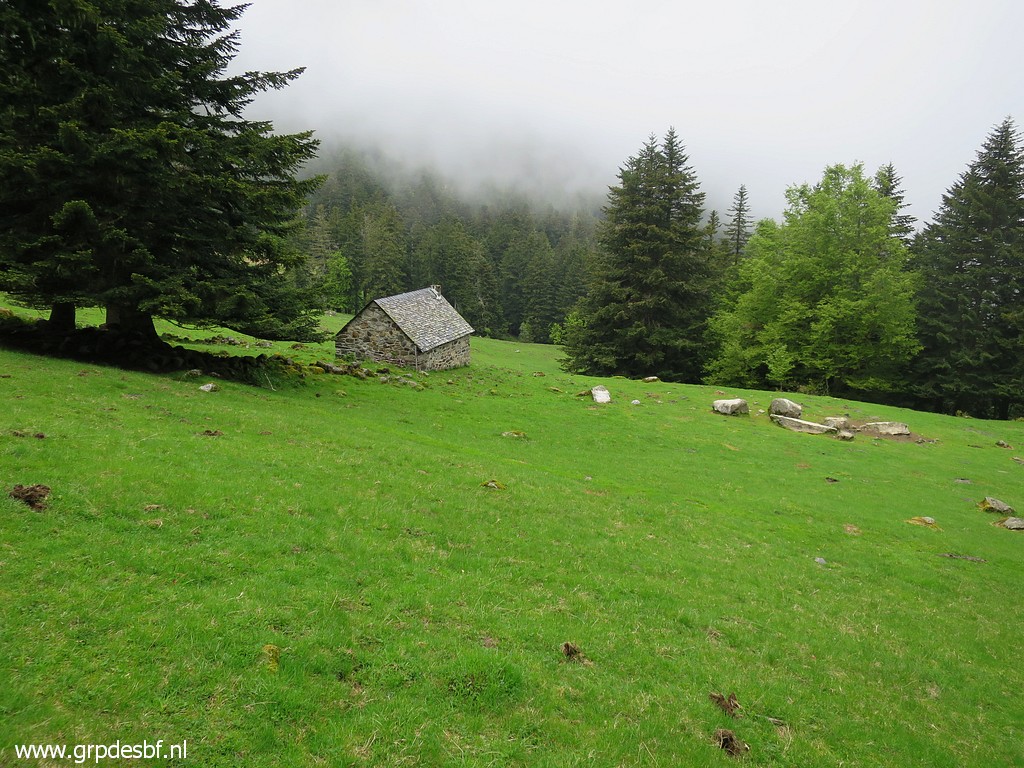 | A cabin (click photo to enlarge) |
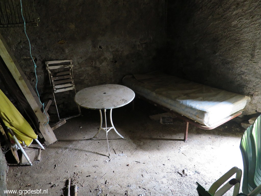 | with some furniture (click photo to enlarge) |
 | might make an overnight's stay more comfortable. There's a stream in the N-corner of the field if you need water. (click photo to enlarge) |
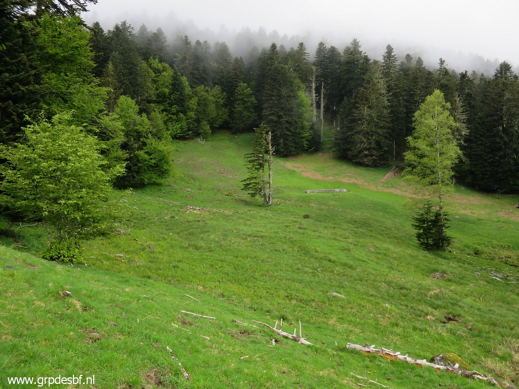 | This lower field consists of two parts: an eastern half and a western half. This is the western half where we enter the forest in the NW corner. That proves to be wrong, we should have taken the SW corner of the eastern field. (click photo to enlarge) |
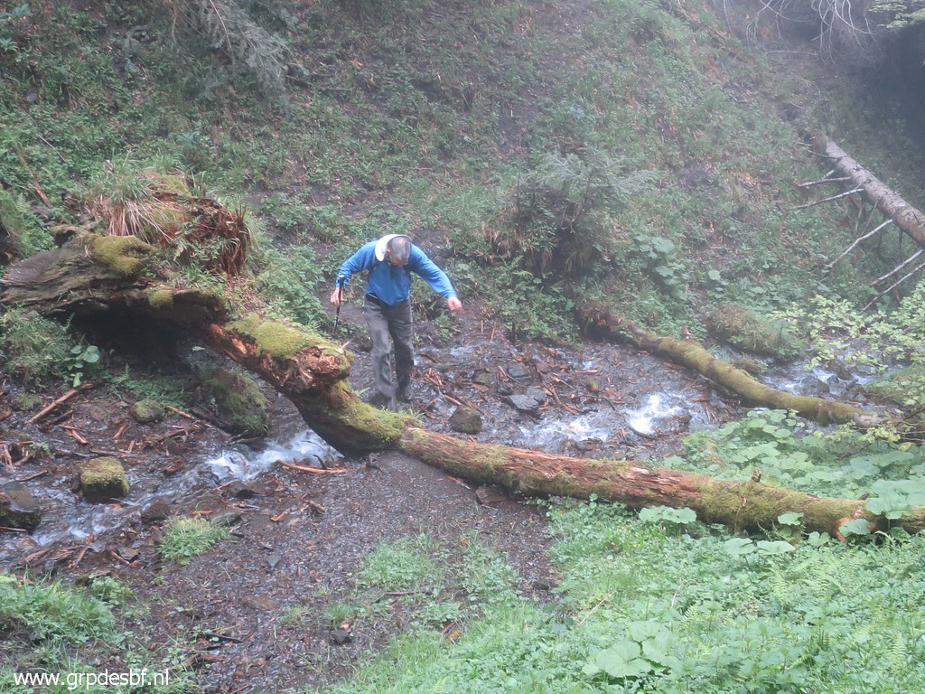 | We
follow a trail but are going wrong. Then with map (on the smartphone)
and compass a more tedious climb - including passing this stream - to
the upper field. Entering the forest at its N-corner but the trail we follow fades away. It's getting later and it starts to rain. We decide to return. (click photo to enlarge) |
 | Getting close the lower field (click photo to enlarge) |
 | with its cabin. Conclusion: the GRPdesBF route from the cabin up the mountainridge with bm374 is not as obvious as I remembered. We'll return here tomorrow. Back to the car and the camping. (click photo to enlarge) |