|
The
bordermarkers of the Pyrenees : all markers
 |
|
| Bordermarkers
600-602 |
 |
| Notice The pages of the day-trips may give additional information on coordinates, localisation, surroundings and access. They also show (additional) maps. Click on the date-links in the right column. |
|
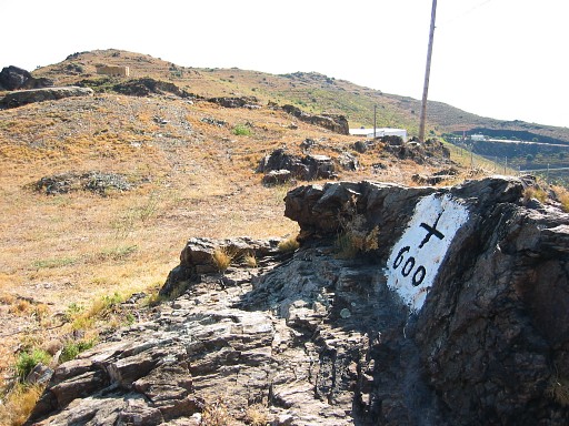 |
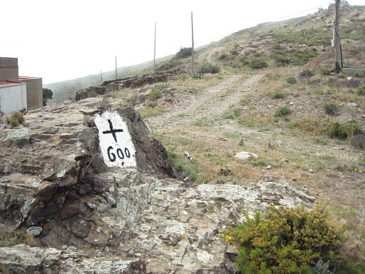
Bm600 Photographed on 20030819 (more pictures at that page) |
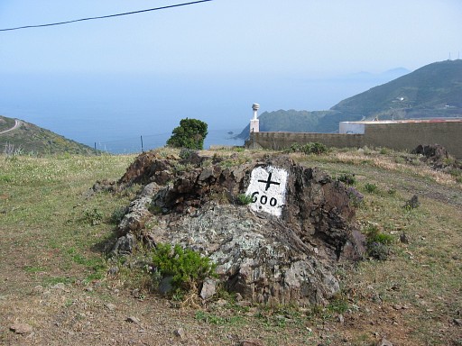 |
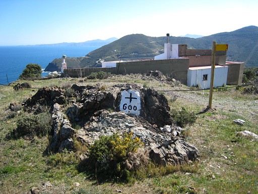
Bm600 Photographed on 20060424 |
 |
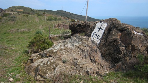
Bm600 Photographed on 20080410 (more pictures at that page) |
 |
Bm600 Photographed on 20090320 |
 | Bm600 Photographed on 20110321 (more pictures at that page) |
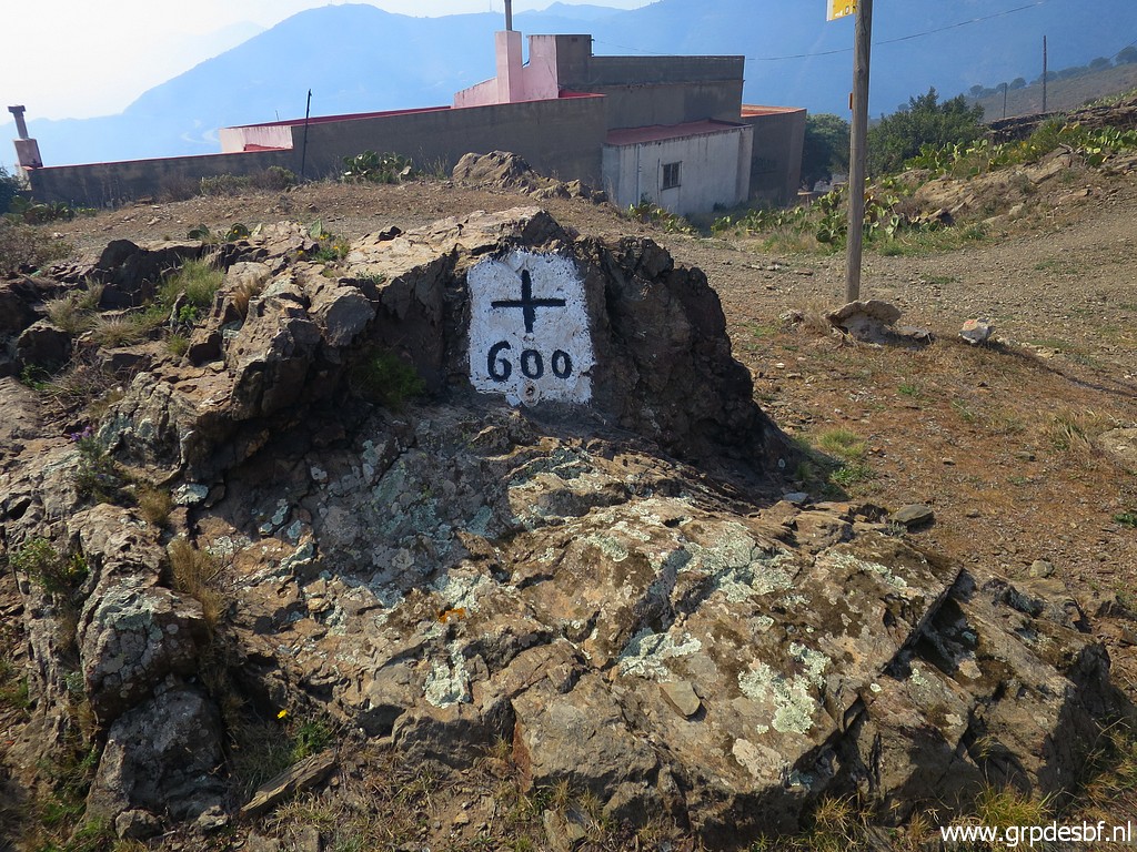 |
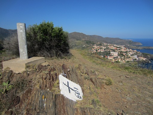
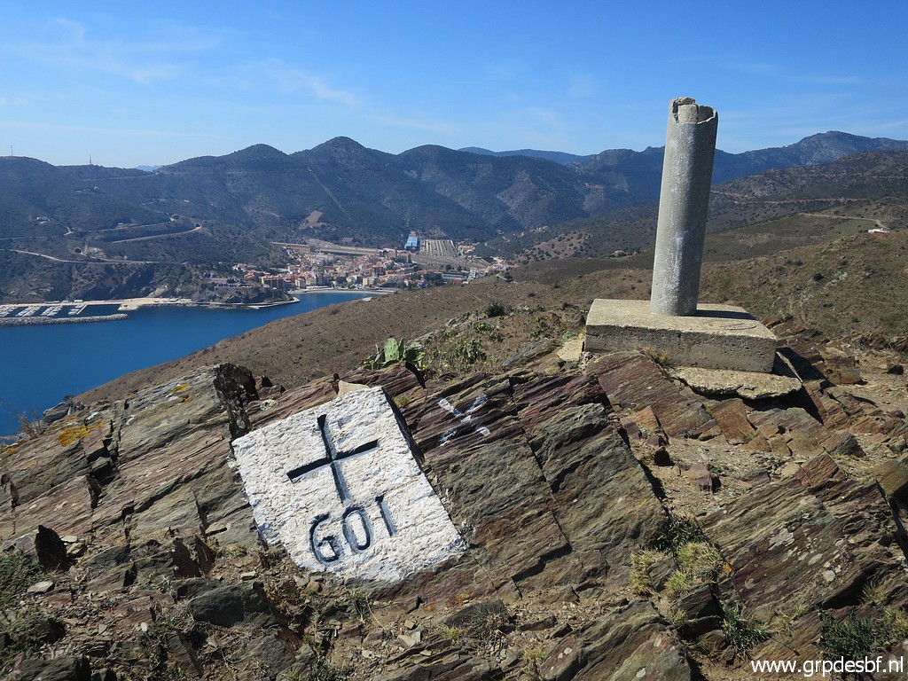
Bm600 Photographed on 20230416 (more pictures at that page) (click photo to enlarge) |
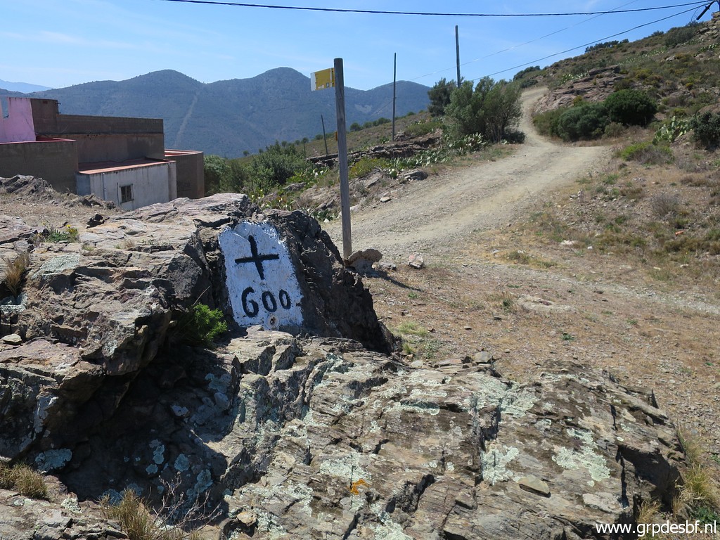 |
Bm600 Photographed on 20230419 (more pictures at that page) (click photo to enlarge) |
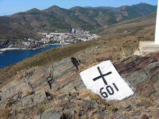 |
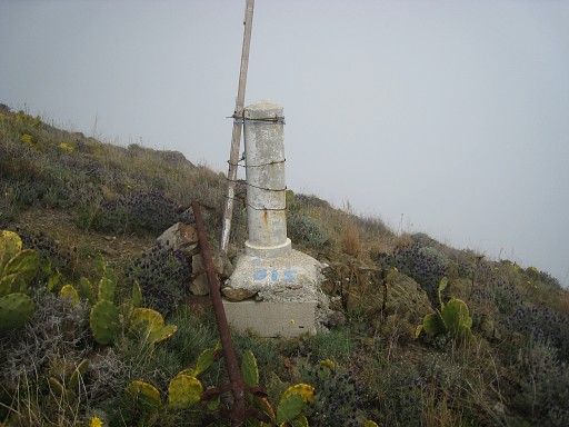
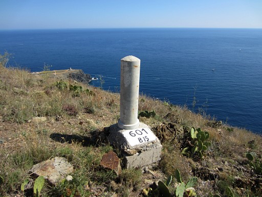
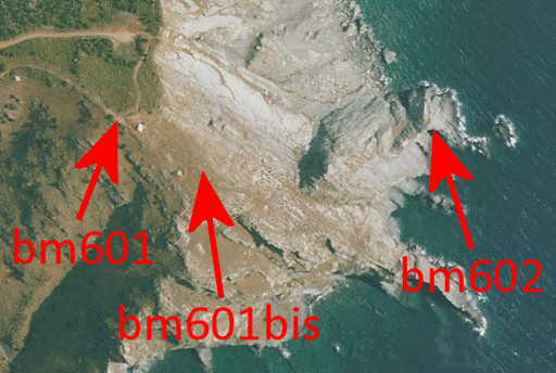
Bm601 Photographed on 20030819 (more pictures at that page) |
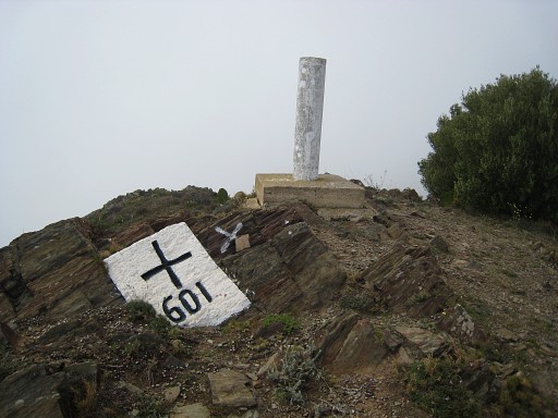 |
Bm601 Photographed on 20080410 (more pictures at that page) |
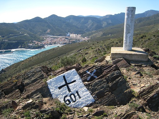 |
Bm601 Photographed on 20090320 |
 |
Bm601 Photographed on 20140913 (more pictures at that page) |
 |
Bm601 Photographed on 20230419 (more pictures at that page) (click photo to enlarge) |
 |
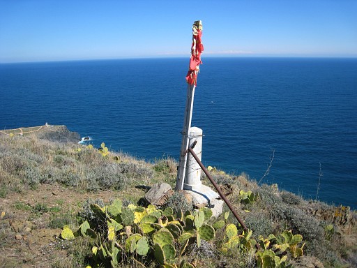
Bm601bis Photographed on 20080410 (more pictures at that page) This one is not mentioned in the Procès-Verbal. In the proceedings of a meeting of Commission Mixte d'Abornement in 2002, we read that this one was placed in 1998 by the community of Cerbère. |
 |
Bm601bis Photographed on 20090320 (more pictures at that page) |
 |
Bm601bis Photographed on 20140913 (more pictures at that page) |
| Bm601bis Photographed on 20230419 (more pictures at that page) (click photo to enlarge) |
|
|
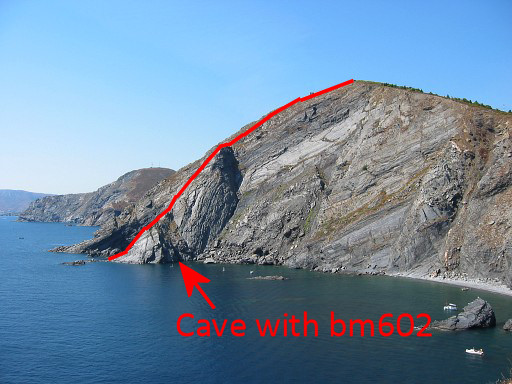
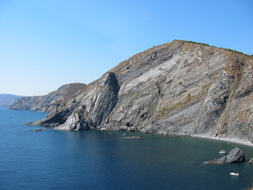
Bm602 - the cave from far. Move the cursor over the picture to see the approximate borderline and the spot of the cave. Photographed on 20030819 |
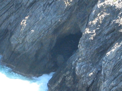 |
Bm602 - the northern entrance of the cave. At that time I didn't know that there are two entrances. Photographed on 20090320 (more pictures at that page) |
 |
Bm602 Photographed on 20110521 (a lot more pictures at that page, even a video) Hereunder the pictures I received earlier from others of bm602 and its access. |
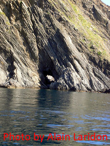 |
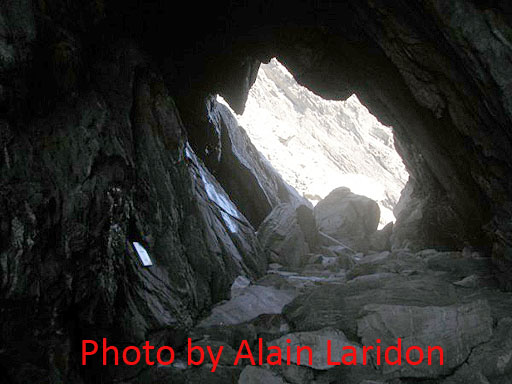
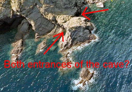
I was very happy to receive in june 2010 from Alain Laridon pictures of his voyage by boat to bm602, undertaken in 2009. See also Alain's webpage He's approaching the cave on this picture. What struck me was that you can look right through the cave! It has two entrances, so I discoverd. |
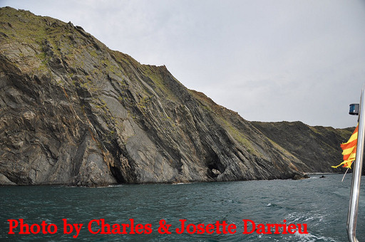 | Charles and Josette Darrieu visited the cave in 2009. They sailed from Port Bou (Spain) to the cave. |
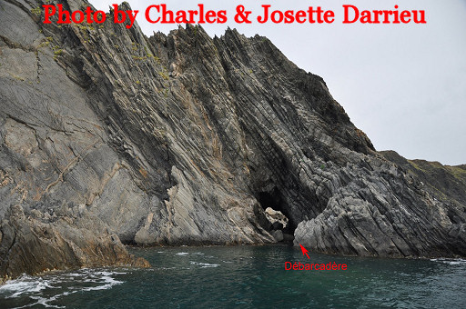 | And show were they landed with the boat. |
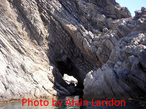 |
Back to Alain's pictures. |
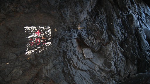
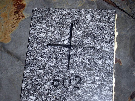
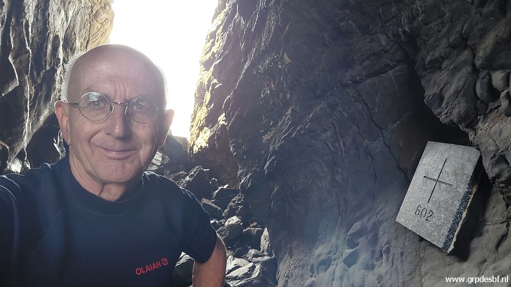
 | We're in the cave now, the shiny tile left is the newer bm602 |
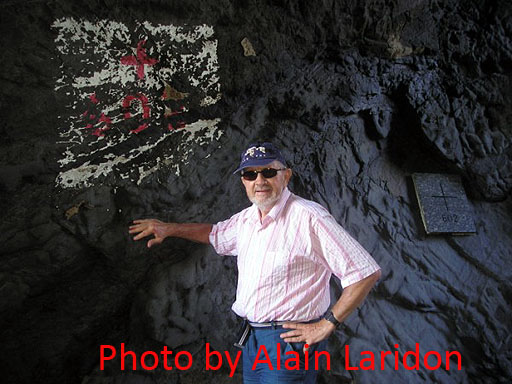 |
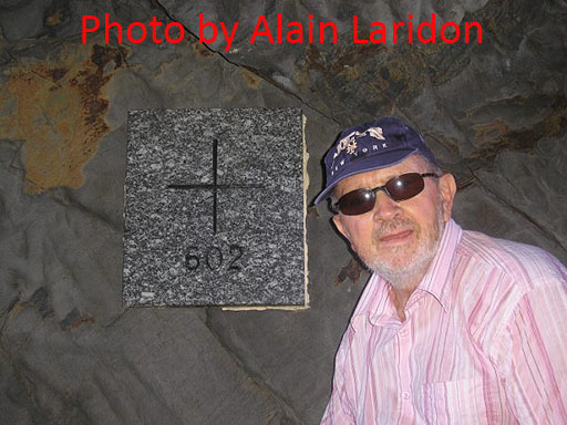
And here Alain is proudly posing before the two markers, the old painted one and |
 |
this newer tile. |
 |
|
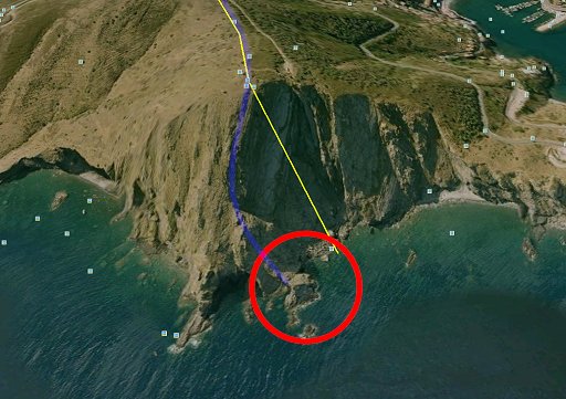 |
This view is taken from Google Earth. We're looking from east to west, the borderline indicated by the blue line. |
 |
And this is a zoomin with a little digital colouring up. |
 |
And finally this satellite-map taken from Géoportail. By the way, Géoportail shows a straight borderline between bm601bis and bm602 and that's not the ridge leading between them. |
|
Bm602 Photographed on 20220904 (more pictures on that page) (click photo to enlarge) |